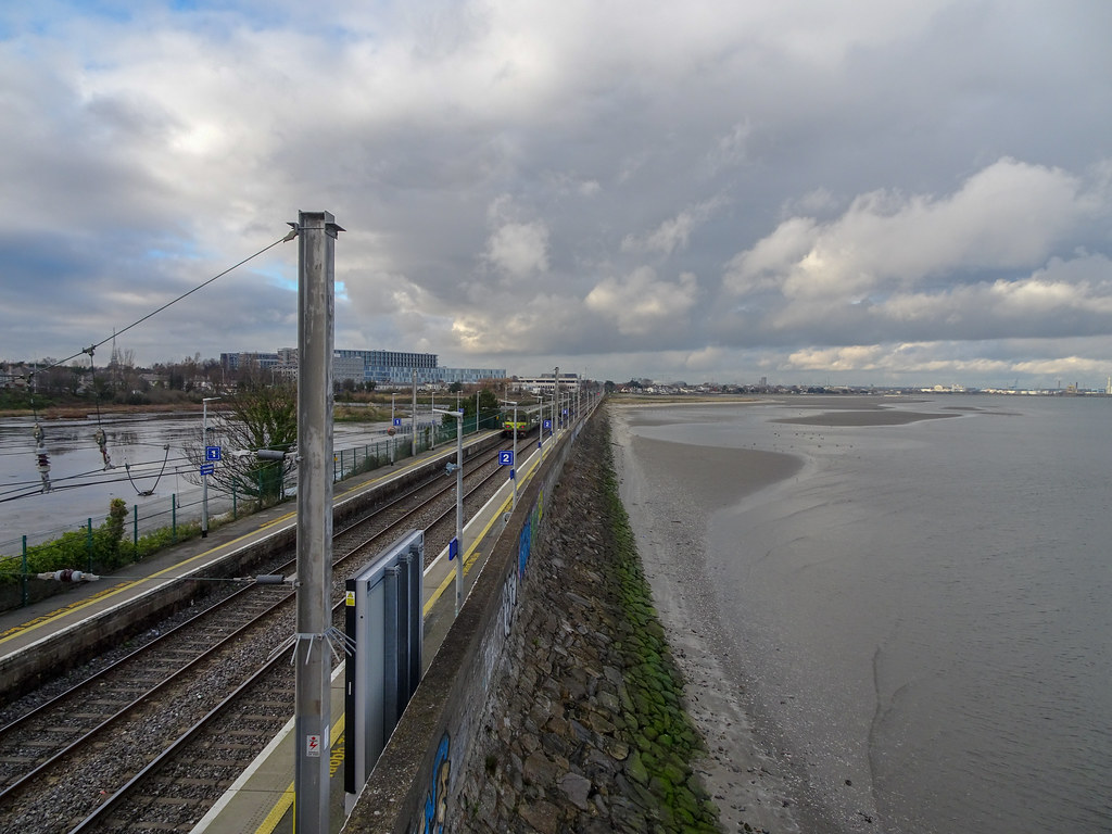
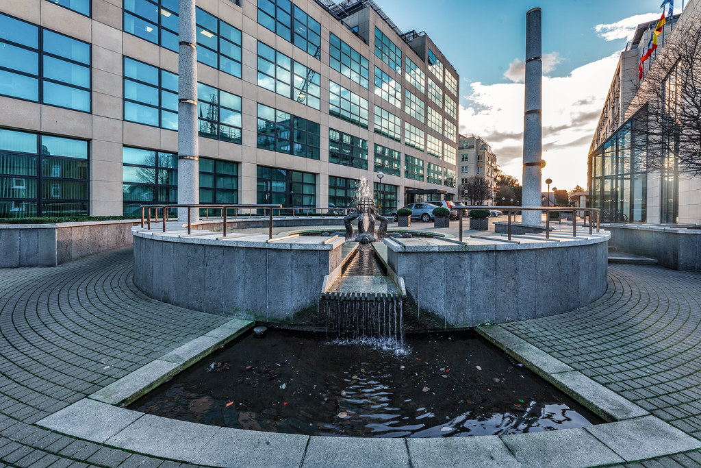
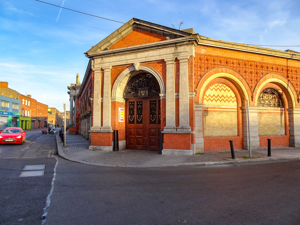
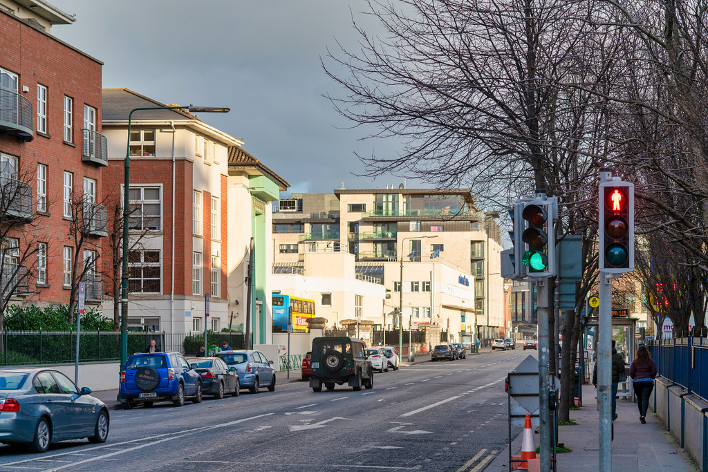
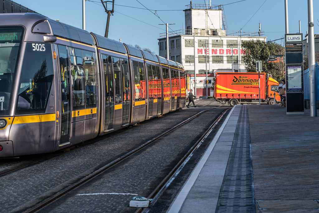
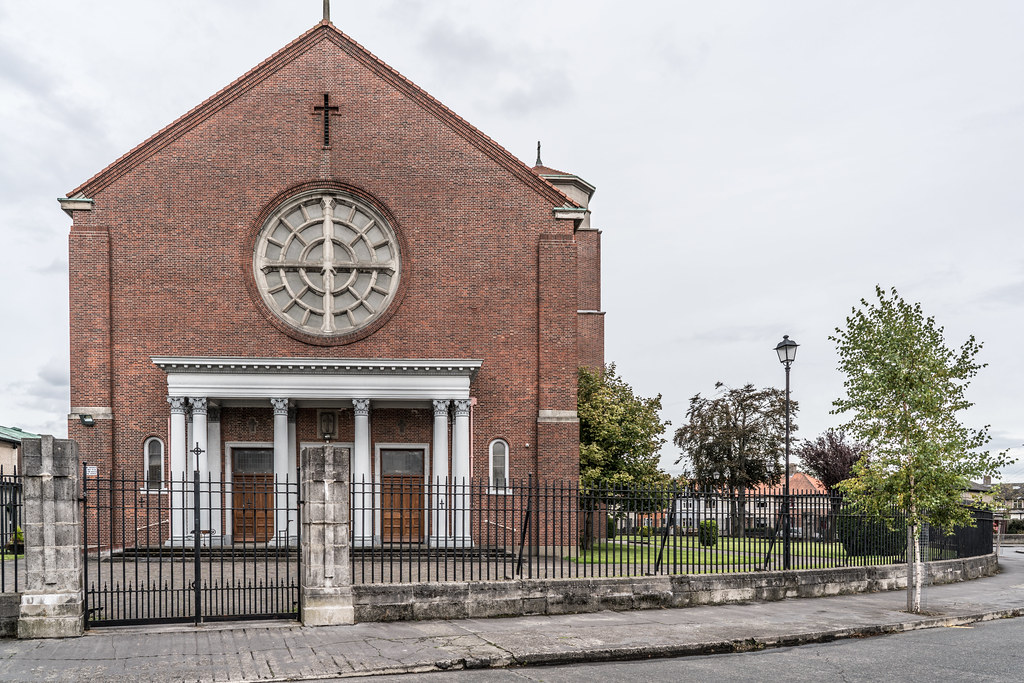
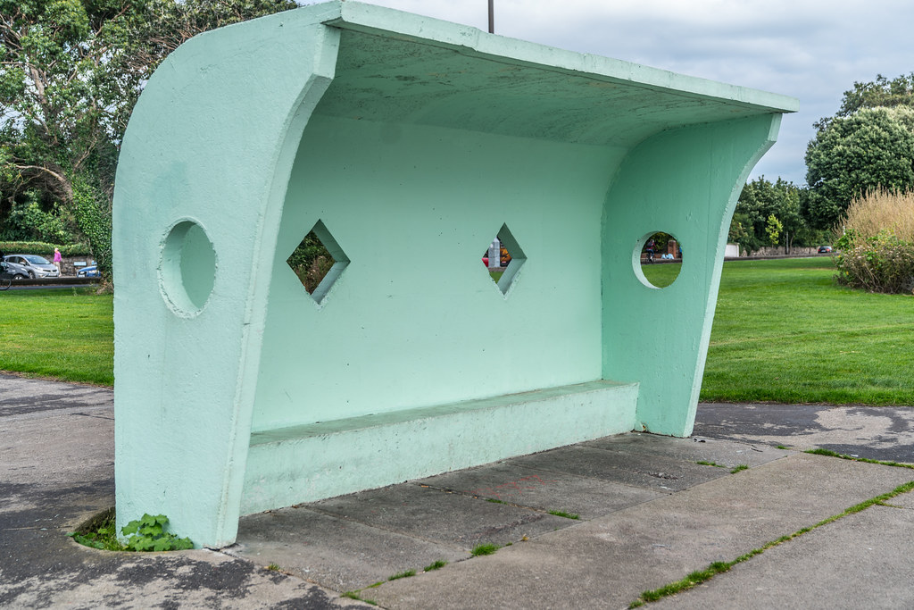
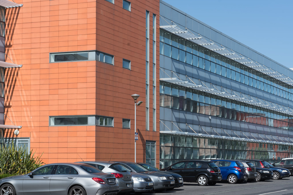
AREAS AND REGIONS OF DUBLIN AS PHOTOGRAPHED BY WILLIAM MURPHY
THE IMAGES BELOW ARE MENU OPTIONS
THE IMAGES BELOW ARE MENU OPTIONS
My original intention was to photograph all parts of greater Dublins at regular intervals in order to document any changes or developments within the Greater Dublin Area. However, I have over the last ten years encountered many unexpected problems.
On major problem is that it is a bit difficult to decide what is an area, a district, a suburb, a townsland or a village. After gaining some practical experience I now intended to use the postcodes described below as a framework going forward.
Publicly distributed leaflet to publicise the Dublin Postal Districts issued by the Irish Department of Posts and Telegraphs – dated April 1976
2007 Postal Districts for Dublin City and Suburbs
Dublin 1 includes most of the north inner city, including Abbey Street, Amiens Street, Capel Street, Dorset Street, Henry Street and Mary Street, Mountjoy Square, Marlborough Street, North Wall, O'Connell Street, Parnell Square, and Talbot Street. Notable features of this area include the General Post Office, from which distances are measured, the Hugh Lane Gallery and the Dublin Writers Museum.
Dublin 2 encompasses most of the city centre south of the River Liffey and takes in areas around Merrion Square, Temple Bar, Grafton Street, Dame Street, Leeson Street and Wexford Street. It includes notable important buildings and tourist attractions such as Leinster House, St Stephen's Green, the main National Museum building and The National Gallery of Ireland. The district also houses Government Buildings and is considered to be Government quarter of the state. The borders of Dublin 2 are the Liffey in the north, the Grand Canal to the south and east and Aungier, Wexford and Camden Streets to the west.
Dublin 3 encompasses areas such as Ballybough, North Strand, Clonliffe, Clontarf, Dollymount, East Wall (including East Point), Fairview, most of Killester, and Marino.
Dublin 4 includes Ballsbridge, Belfield, Donnybrook, Irishtown, Merrion, Pembroke, Ringsend and Sandymount and contains the RDS grounds, Lansdowne Road stadium, and many embassies. "D4" has acquired its own socio-economic identity.
Dublin 5 includes most of Artane, central Coolock, Harmonstown, Kilbarrack, and Raheny.
Dublin 6 includes Milltown, Ranelagh, Rathmines (including Dartry), and Rathgar).
Dublin 6W includes Harold's Cross, Templeogue, Kimmage and Terenure.
Dublin 7 includes Arbour Hill, Broadstone, Cabra, Grangegorman, Phibsboro, Smithfield, Stoneybatter; a key feature is the Four Courts complex.
Dublin 8 includes Dolphin's Barn, Inchicore, Islandbridge, Kilmainham, Merchants Quay, Portobello, South Circular Road, the Phoenix Park and the Liberties, and notable buildings include Christchurch Cathedral and St. Patrick's Cathedral. It is unusual in that it is one of only two postal districts to span the Liffey.
Dublin 9 includes parts of Ballymun east of Ballymun Road (Shangan and Coultry), Beaumont, Donnycarney, Drumcondra, Elm Mount, Griffith Avenue, parts of Glasnevin (St Mobhi, Botanic Gardens and Met Éireann), Santry, and Whitehall.
Dublin 10 includes Ballyfermot and Cherry Orchard.
Dublin 11 includes most of Ballymun west of Ballymun Road (Sillogue, Balcurris, Balbutcher, Poppintree, Sandyhill and Wadelai), Dubber Cross, Finglas (including Ballygall and Cappagh), most of Glasnevin (Cremore, Addison, Violet Hill, Finglas Road, Old Finglas Road and Glasnevin Cemetery), Kilshane Cross, The Ward and Coolquay.
Dublin 12 includes Bluebell, Crumlin, Drimnagh, Greenhills, Perrystown, Terenure, and Walkinstown.
Dublin 13 Baldoyle, Bayside, Donaghmede, Sutton, Howth and Ayrfield.
Dublin 14 includes Churchtown, Clonskeagh, Dundrum, Goatstown, Rathfarnham and Windy Arbour.
Dublin 15 includes Blanchardstown, Castleknock, Coolmine, Clonsilla, Corduff, Mulhuddart, Tyrrelstown and the Dublin part of Clonee, as well as Ongar.
Dublin 16 includes Ballinteer, Ballyboden, Kilmashogue, Knocklyon and Rockbrook.
Dublin 17 includes Balgriffin, most of Coolock, and Belcamp, Darndale and Priorswood.
Dublin 18 includes Cabinteely, Carrickmines, Foxrock, Kilternan, Sandyford, Shankill, Ticknock, Ballyedmonduff, Stepaside, and Leopardstown.
Dublin 20 includes Chapelizod, and Palmerstown. This is one of only two postal districts to span the Liffey.
Dublin 22 includes Clondalkin, Rowlagh, Quarryvale and Liffey Valley, and Neilstown.
Dublin 24 includes Firhouse, Jobstown, and Tallaght (see that article for component estates / localities, such as Kilnamanagh).
Dublin postal districts have been used by Ireland's postal service, known as An Post, to sort mail in Dublin. The system is similar to that used in cities in Europe and North America until they adopted national postal code systems in the 1960s and '70s. These were incorporated into a new national postcode system, known as Eircode, which was fully implemented in 2015. Under the new Eircode system, the Dublin Region incorporates the original routing areas D01 to D24, along with new A## and K## codes for the remainder of the county.
Dublin
Post-1961 Dublin street sign displaying the street name in Irish and English, with postal district number
In Dublin city and its suburbs, a system of postal districts was introduced in 1917 by the Royal Mail with the prefix "D", and retained after Ireland became an independent country, without the prefix. However the use of district numbers by the public did not begin until 1961, when street signs displayed postal district numbers. Prior to that time, street signs only displayed the street name in Irish and English.
The Dublin system had 22 districts — Dublin 1, 2, 3, 4, 5, 6, 6W, 7, 8, 9, 10, 11, 12, 13, 14, 15, 16, 17, 18, 20, 22, 24. These were incorporated into the routing keys now being used with the Eircode national postcode system as D01, D02, D12, D22, etc.
Cork
The city of Cork had four numbered postal districts, but these were used internally by An Post and rarely on mail. Cork 1 covered the city centre and large parts of the surrounding city, e.g.: the "Patrick Street" (Sráid Phádraig) sign displays the digit '1'. Cork 2, administered from the Ballinlough sorting office, covered the south-east, Cork 3 (from Gurranabraher) covered the north-west while Cork 4 (from Togher sorting office) covered the south-west. The numbers are not used in the Eircode system,[5] with routing keys in the Cork area instead beginning with the letter 'T'.[2]
The launch of a national postcode system in Ireland began on 28 April 2014. The system incorporates the existing numbered Dublin postal districts as part of the routing key. According to the government the system made Ireland the first country in the world to have a unique postcode for each address (without requiring the use of building numbers).
The codes, known as "Eircodes", consist of seven characters. The first three characters, called the "Routing Key", are designed to benefit the postal and logistics industry and contain on average 15,000 addresses each. The Routing Key is used to help sort mail, however it is not directly linked to counties, towns, or geographic features. The second part of the Eircode, called the "Unique Identifier," consists of four characters drawn from a carefully selected set of randomised letters and numbers that identify each individual address. They are stored in a central database, Eircode Address Database (ECAD), along with other useful geographic information including addresses, variants/aliases, and geo-coordinates of each address point.
Sample product data and pricing details were issued to businesses in March 2015. The ECAD is now available to licence by end-users and value-added resellers called Eircode Providers.
An example of a typical Irish address is that of the Lord Mayor of Dublin: The Eircode is added on as an extra line to the existing address and postal district code which remains unchanged.
Dublin City Council,
Lord Mayor’s Office,
Mansion House,
Dawson Street,
Dublin 2.
D02 AF30
You will find links to buy products from Amazon, Google and other partners. If you click on these links, you’ll find that the URL includes a small extra piece of text which identifies that the click came from my websites. This text is an affiliate code, and it means that I get a small percentage of the money you spend if you choose to buy that product, or, in some cases, other products from the site soon after. These affiliate links help pay the costs of producing my websites and ensure that the content is free to you.
COPYRIGHT INFORMATION BELOW APPLIES ONLY TO PHOTOGRAPHS

This work by William Murphy aka Infomatique is licensed under a Creative Commons Attribution-NonCommercial-ShareAlike 4.0 International License.
Permissions beyond the scope of this license may be available at https://excellentstreetimages.com/in-the-year-twentytwenty/copyright/.

