PROGRESSIVE WEB APPLICATION VERSION
FEBRUARY 2022PHOTO DIARY BY INFOMATIQUE
SELECT IMAGES TO VIEW MORE PHOTOGRAPHS
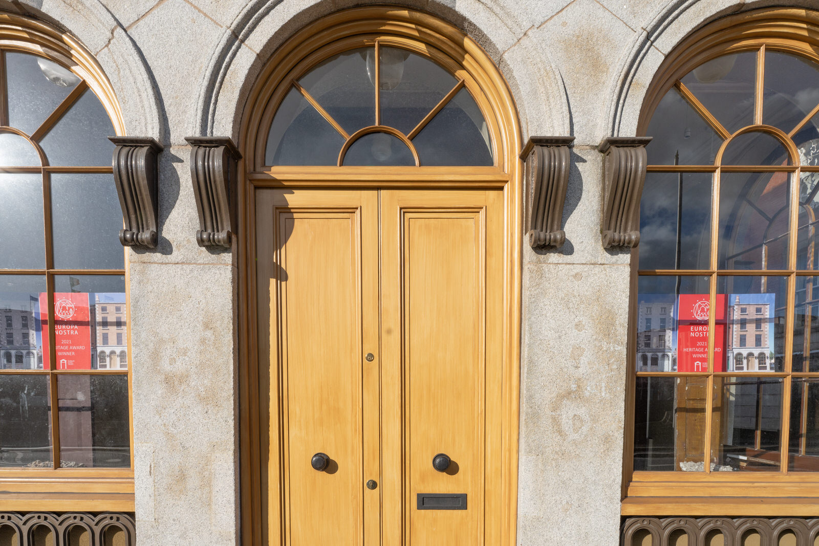
RESTORATION PROJECTCORNER UPPER ORMOND QUAY AND EAST ARRAN STREET
Dublin Civic Trust has its restoration of 67 Arran Street East through social media platforms, acknowledging The Heritage Council's vital funding and support.
The building is an unusual surviving example of a 1760s house featuring a high status rococo-style cornice. The aim of the project is to strip off inappropriate cement layers and restore the 1760s character of the building. This includes sash windows reinstatement, brick pointing, Roman cement repairs and on-site investigation as the works are underway.
Dublin Civic Trust is an independent charitable organisation that works to identify, preserve and create awareness about Dublin’s architectural heritage.
As an educational trust, they promote best practice repair and conservation of historic buildings and streetscape - involving identifying and recording the city’s built heritage, developing policy and skills training, and undertaking targeted acquisition and refurbishment of historic buildings as engaging demonstration projects. THey are committed to sustainable urban development, understanding that creative new intervention and adaptation of existing buildings is essential to the evolution of historic cities everywhere.
Dublin’s status as a historic European capital of character and distinction is a resource of enormous social and economic value – one that has not been adequately developed to date. The work of the Trust is targeted at preserving and enhancing this built asset for the benefit of everyone, with an aspiration for Dublin as a living historic city that embraces this unique built identity.
MANOR STREET AND NEARBYRANDOM IMAGES
In the 1950s the Dublin Cattle Market Stoneybatter (known locally as 'Cowtown'), was the largest weekly livestock sale in Europe. Of the one million cattle, sheep and pigs exported 'on the hoof' annually from Dublin, almost all were bought at the market before being driven to boats moored along the North Wall. Fortunately those days are long gone and I say this because I actually remember the smell of the cattle.
Stoneybatter, historically known as Bohernaglogh , is a neighbourhood of Dublin, Ireland, on the Northside of the city between the River Liffey, the North Circular Road, Smithfield Market, and Grangegorman. It is in the Dublin 7 postal district. The name dates from at least 1603.
It is often referred to as Dublin's "hipster quarter" and was in TimeOut magazine's list of '40 coolest neighbourhoods in the world' in 2019. I must admit that I don't really know what hipster quarter means within an Irish context.
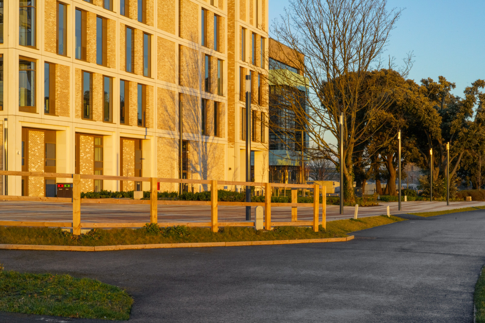
ANOTHER VISIT TO THE TU CAMPUSI USED A SONY VG10E CAMCORDER
I am trying to decide what equipment to bring with me when I visit Belfast at the end of March so I am experimenting with different combinations.
Earlier in the week I used my Sony A7RIV for video and was very disappointed with the sound quality because of wind noise ... the video recordings were effectively unusable. I then examined the possibility of purchasing a Sony ECM-B1M digital microphone but discovered that it will not be possible to get one before April or even May.
I have a VG10E camcorder which I purchased just before Christmas 2010. This particular unit accepts Sony E-Mount lens but for some weird reason it only produced JPEG stills but the big problem for me is that there is no way of geotagging the captured images. Anyway, today I decided experiment using a Sonf FE 70-200MM F2.8 GM lens.
To be honest I have always liked the VG10E and it did come with an excellent lens which was the reason why I purchased the camera in the first place. Later I sold the lens for more than I paid for the total package. The unit has two major advantages in that the batteries last for hours and the files are very small.
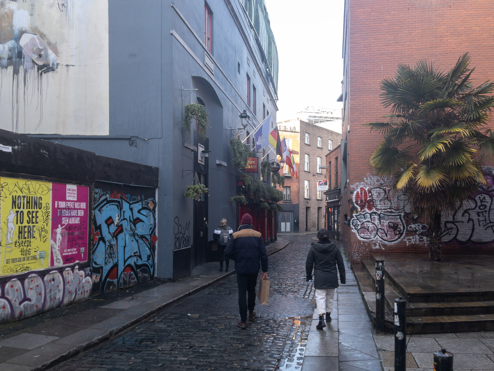
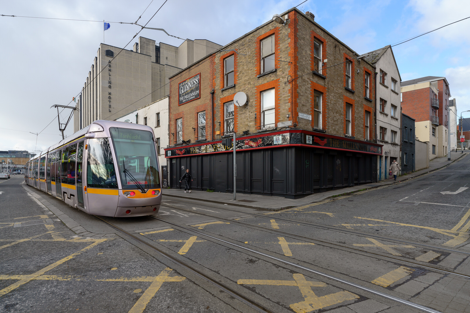
TEMPLE BAR AREAMAY BE RETURNING TO NORMAL
It would appear that life is beginning to return to the area and it will be interesting to see if the St. Patrick's Festival will provide the necessary boost.
Yesterday and today there was enough rain to make photography impossible so when I was passing through the Temple Bar area I decided to use my iPhone 121 Pro Max and much to my surprise the autofocus appears to have had difficulty because of the rain.
It would appear that life is beginning to return to the area.
Temple Bar (is an area on the south bank of the River Liffey in central Dublin, Ireland. The area is bounded by the Liffey to the north, Dame Street to the south, Westmoreland Street to the east and Fishamble Street to the west. It is promoted as Dublin's 'cultural quarter' and, as a centre of Dublin's city centre's nightlife, is a tourist destination.
The area is the location of a number of cultural institutions, including the Irish Photography Centre (incorporating the Dublin Institute of Photography, the National Photographic Archive and the Gallery of Photography), the Ark Children's Cultural Centre, the Irish Film Institute, incorporating the Irish Film Archive, the Button Factory, the Arthouse Multimedia Centre, Temple Bar Gallery and Studios, the Project Arts Centre, the Gaiety School of Acting, IBAT College Dublin, the New Theatre, as well as the Irish Stock Exchange.
At night the area is a centre for nightlife, with various tourist-focused nightclubs, restaurants and bars. Pubs in the area include The Temple Bar pub, The Porterhouse, The Oliver St. John Gogarty, The Turk's Head, The Quays Bar, The Foggy Dew, The Auld Dubliner, The Stag's Head, Bad Bobs and Busker's Bar.
The area has two renovated squares – Meetinghouse Square and the central Temple Bar Square. The Temple Bar Book Market is held on Saturdays and Sundays in Temple Bar Square. Meetinghouse Square, which takes its name from the nearby Quaker Meeting House, is used for outdoor film-screenings in the summer months. Since summer 2004, Meetinghouse Square is also home to the 'Speaker's Square' project (an area of public speaking) and to the 'Temple Bar Food Market' on Saturdays.
The 'Cow's Lane Market' is a fashion and design market which takes place on Cow's Lane on Saturdays.
Part of the 13th century Augustinian Friary of the Holy Trinity is visible within an apartment/restaurant complex called 'The Friary'.
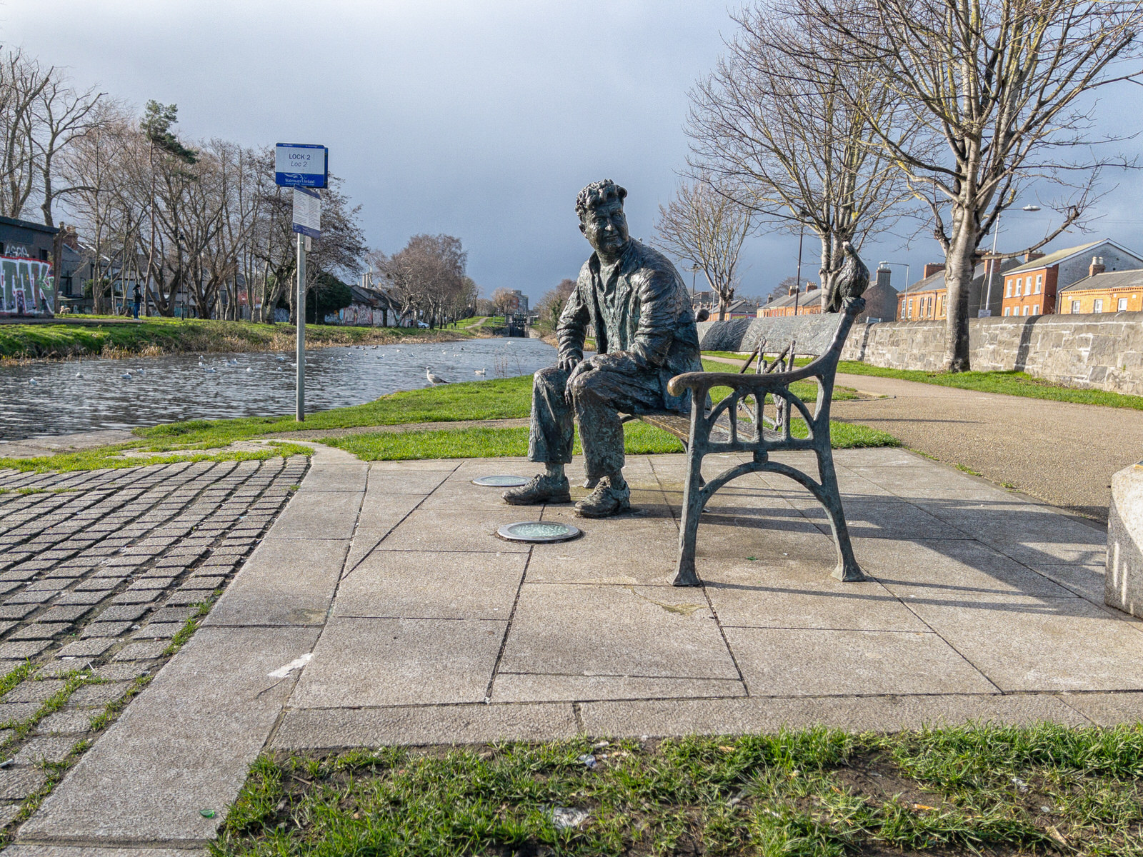
BRENDAN BEHAN AT BINNS BRIDGE23 FEBRUARY 2022
Brendan Behan was an Irish Republican, poet, short story writer, novelist, and playwright who wrote in both English and Irish. He is widely regarded as one of the greatest Irish writers and poets of all time. Behan died on 20 March 1964 at 41 years of age, when he collapsed at the Harbour Lights bar in Dublin.
In September 2003 a sculpture of Brendan Behan was unveiled at Binns Bridge on the banks of Dublin's Royal Canal.
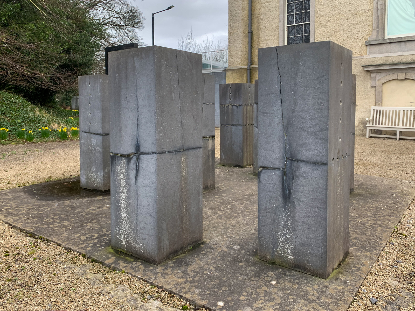
8 LIMESTONES BY ULRICH RUCKRIEM I USED AN iPHONE XR
Created by artist, designer and nightclub pioneer Niall Sweeney, Club Chroma Chlorologia is a newly commissioned series of site-specific works installed in the gardens and grounds of the 17th-century Royal Hospital Kilmainham, which combine to create unlikely interventions that you can encounter, discover and take part in every time you visit the formal garden.
On August 1 and 2 2021, Saturn was at opposition, meaning the Earth will be located between the ringed planet and the sun. This is when the outer planet is at its most luminous, making for a brilliant night sky view.
Sweeney is a graphic designer from Dublin who makes up one half of Pony Ltd. The studio team were, as their website states, “born from the big smoke of Dublin and the seven hills of Sheffield, this studio is a perfect example of pulling fragments from all directions until the last piece completes the jigsaw.” Pony Ltd are well known for their theatrical and minimalist posters for Panti Bliss.
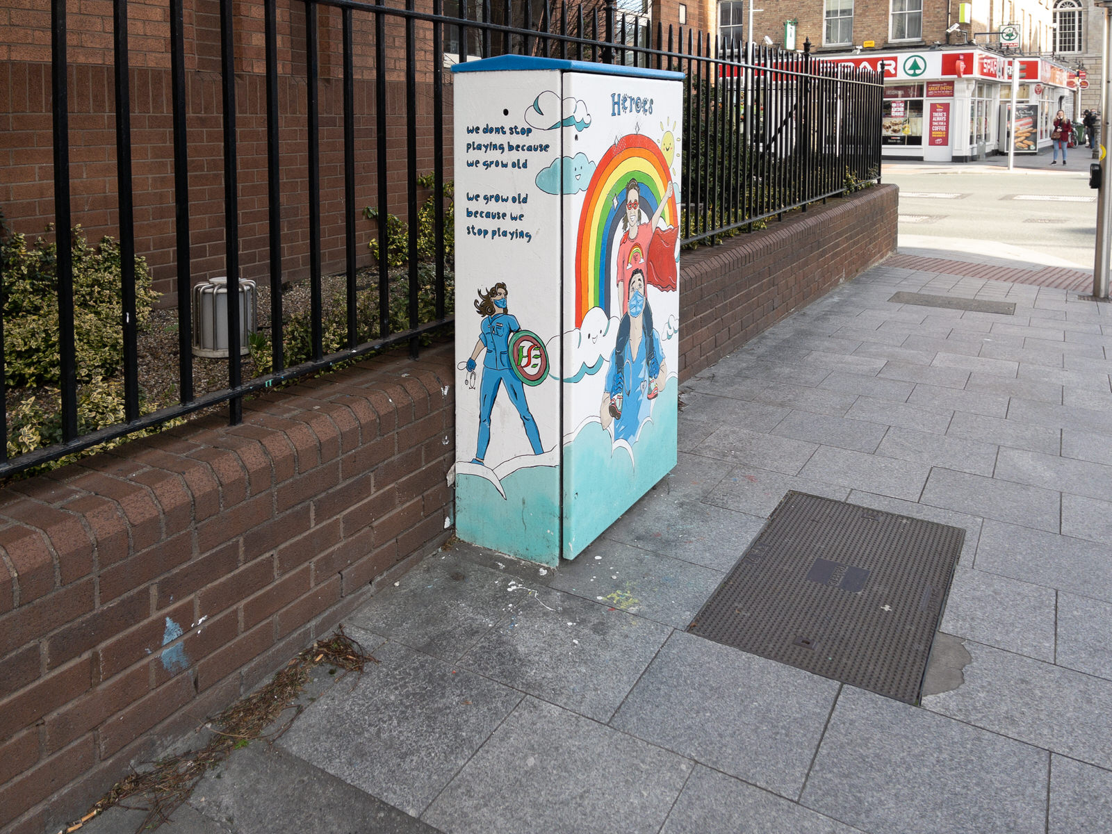
ECCLES STREET - DORSET STREETPAINT-A-BOX STREET ART
Eccles Street began on 6 March 1769 when Isaac-Ambrose Eccles leased three parcels of land in the area. The street is named after his family, including his grandfather Sir John Eccles, Lord Mayor of Dublin 1710–11.
In James Joyce's novel Ulysses (published 1922, set in 1904), the protagonist Leopold Bloom lives at 7 Eccles Street, and the building was treated as a landmark by Joyce fans. No. 7 was demolished in 1967 by the neighbouring Dominican convent as part of an extension development to their school.The door was saved.
The Mater Hospital purchased the plot of land in 1975, building the Mater Private Hospital on the site which opened in 1986. The site also has a large surface carpark. The new development saw 36 Georgian houses demolished, despite preservation orders and resistance from groups including An Taisce and the Arts Council.The order then began buying up more Georgian properties on the south side of the street. The windows and doors of three listed houses were illegally blocked up and others were left vacant.
The Mater invited an inspection of the three Georgian houses by Dublin Corporation in February 1988, when they were deemed dangerous. As a result, the buildings were ordered to be demolished to first or second floor windowsill level. The houses were occupied by the group Students Against the Destruction of Dublin, and legal proceedings ultimately led to them vacating to allow the demolition to go ahead. The legal case revealed that the Mater Hospital Pools had funded the purchase of 28 of the houses on the south side of the street. By 1988, 2 properties were derelict, 13 were partly or wholly vacant, including 3 already condemned. It emerged that they were aware the roofs had failed in the three condemned buildings as early as 1986, and had done no repair work allowing for the ultimate destruction of the buildings.
There is plaque at painter Leo Whelan's former home, 67 Eccles Street.
BENBURB STREETPHOTOGRAPHED FEBRUARY 2022
Benburb Street runs parallel with the River Liffey from Queen Street to Parkgate Street, running along the southern side of Collins Barracks. The LUAS red line runs along the street.
The street was originally named as Barrack Street as it was close to the former Royal Barracks. The section closest to Queen Street was known as Tighe Street, but previously known as the Gravel Walk up to circa 1780. Both streets were amalgamated and renamed Benburb Street in 1890. It was named for the Battle of Benburb in County Armagh in 1646.
Historically, the street was associated with sex work due to its proximity to Collins Barracks. This association continued up until the late 1990s.
The housing scheme in Benburb street was the first housing scheme project undertaken by the Artisans and Dwelling Committee of Dublin Corporation in 1884. In 1880, the Dublin Corporation sanitary office took a visit to Benburb street and observed the ‘rotten state’ of the houses along this area. The buildings were decayed, floors were saturated, roofs were beyond repair, and the soil was soaked with foul matter. These houses were occupied by the working-class, and according to the sanitary officer’s report, the working-class deserved better housing, as they were right beside factories such as Courtney and Stephens’ Irons Works. The officer believed that with a suitable range of housing and combination of small shops, this would benefit the whole community. Due to this report, it was agreed by the Dublin Corporation that a housing scheme project would take place in Benburb street in 1884. Together, the corporation and the city architect at the time, Daniel Freeman would work on the housing scheme. He decided to adopt a previous design by an engineer known as Arthur Dudgeon. Dudgeon designed the Benburb street housing scheme. He was a civil engineer to the Dublin Artisans Dwelling Company (DADC) Plunkett Street Scheme and had a lot of experience from visiting working-class housing schemes in Glasgow and London. Dudgeon did a report in 1883, designing this scheme.
There were two spaces available in Benburb street to build houses, an area with a frontage of 240 feet, and another with a frontage of 160. Dudgeon suggested two blocks of dwellings in Benburb and Tighe street. These blocks were to be three to four storeys in height, with the ground floor being used as shops, where there would be a great demand. Floors and roofs were fire-proof for security, but also for longer stability. The people living in these houses were provided with staircases up to the galleries on each floor, providing individual access to the tenements. Dudgeon was against the idea of basements as he didn’t like their tendency to flood. Dudgeon liked the idea of building taller houses. He believed that people liked living in taller buildings, as they had a better access to clean air. Freeman also made many of the rooms bigger than the ones that Dudgeon visited in the UK, as well as improving sanitary conditions in the houses. Freeman proposed that all water supply and dust shoot were provided on the outside of the walls of the houses, and were easily attainable from all blocks.This also meant that if there were sanitary problems, there wouldn't be any foul air or other components getting into the houses. The dwellings weren’t just accommodating families, but also single women and widows, and single men. The men's lodging house contained a wash house, two recycling baths, 15 shops, 66 double rooms, and 50 single rooms. The double room cost 6d a week, while the single room cost between 1s. 6d. and 2s. Overall, it was estimated that this scheme would make £30 profit each year. However, this was only proposed and when it was sent to the Dublin Corporation, it was sent back to the Artisans Dwelling Committee and they were told to reconsider. The problem was that Freeman who was the architect planned his scheme for 600 people which would cost £20,000, while Dudgeon's scheme planned for 708 people which would cost £25,000.This meant that Freeman had to make changes to increase accommodation. He offered to reduce the number of shops and double rooms, but increase the number of single rooms. Although there would now be an annual loss of £30, the committee stated that further changes would be made to cover for this loss.
Overall, the final outcome of the housing scheme was steady. 144 tenements were built, which were four-storey blocks containing single, double and three-roomed units. 5 of the tenements were shops on the ground floor, which provided food and other goods. These shops cost 10s. per week. The shops were a far more lucrative return for the corporation, rather than the rooms which ranged between 1s 6d and 5s. One of the blocks located along Eilis street contained 1 large shop and 43 dwellings which had one or two rooms, and was also accompanied by a men's lodging house. A Lodging house for women was also built, with 16 beds and costing 4d. per night. Cooking facilities were provided in the lodging house and there was a storage area to store the food, but for a cost. Permanent lodgers were given more leeway than people who were staying there for a fixed amount of time. All lodgers had to be out of the building by 10am, and apart from the permanent lodgers, weren't allowed back into the building until 6pm. Permanent lodgers were allowed to return to the building to cook their dinner. Although the standard of housing improved massively, there was still sanitary problems within the housing scheme. There were 9 deaths by the end of 1891. Many of the people died due to health issues, for example gastric fever, bronchitis and congestion of the lungs. After a sanitary inspection, the health officer was unimpressed. He came to the conclusion that many hallways were very dirty, many sinks and water-closets needed repair, while in other sinks there was a conveyance of refuse-water. Water Closets were also an issue. In some flats, up to nine families were using the same water closets, which was accommodated to just five families.
Many houses and flats on Benburb street are still being redeveloped today. Tuath Housing Association is responsible for this redevelopment, Tuath Housing planned to build 22 new flats on Eilis court, which included six one-bed apartments and 13 two-bed apartments. It was planned to knock down a four-storey complex which was built in the 1880s, due to a devastating fire in 2005. Tenants were to be able to move in to the new flats by the end of 2020. Overall, this redevelopment would cost around 6 million euro.
A modest number of architecturally notable buildings remain on Benburb Street. One example is 79 Queen Street at the junction with Benburb Street, the former Dice Bar. Built as a commercial building, it has a date stone of 1770, but the surviving building dates from approximately 1860 and displays a typical Victorian style. At the corner of Benburb Street and Blackhall Place, there is a small unaltered terrace of two story houses with shops built circa 1870.
ROYAL HOSPITAL KILMAINHAMPHOTOGRAPHED FEBRUARY 2022
According to the 2010 United States Census, Rowser is the 33164th most common surname in the United States, belonging to 690 individuals. I mention this because I cannot determine why this lane is so named ... does anyone have any ideas or relevant information. A few years I asked a local about the name and he said "you don't want to be caught with your Rowserstown" [trousers down].
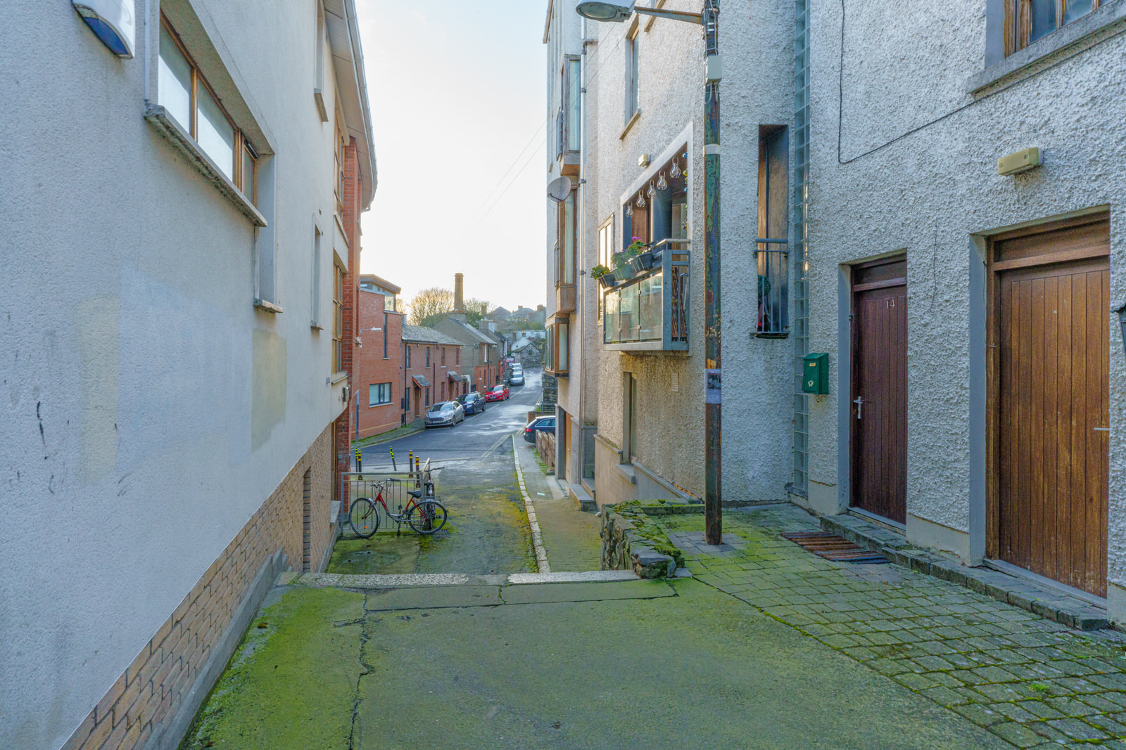
I cannot determine if the laneway with the steps is Camac Way or if it is part of Rowserstown Lane, i suspect that Camac Way may be an apartment block. Anyway, while I was there a lady came out of a building to inform me that I was breaking the law and that she had informed the police [An Garda Síochána] and they were on the way. When I said "OK, thanks, I will wait for them to come" she got really annoyed but left the scene after a few minutes.
This lane complex is home to an impressive and imposing mill situated beside the Camac River, whose masonry construction is testament to the skill and craftsmanship of stone masons at the time. Although it has been disused for some years its robust design and durable materials have ensured its survival. The remains which including a mill race and some machinery are technically significant, while more recent additions and the openings' alterations indicate the ongoing development and evolution of the building over time.
Marked on the first edition Ordnance Survey map as a flour mill and later as a cloth mill, this building has played a significant role in the local economy and community. Three deeds indicate that it was transferred into the ownership of Mr Patrick Dowling, chandler, in 1822, and presumably was built close to that time as it does not appear on maps dating to 1816.
The success of Mr Dowling enterprise at the site is perhaps indicated by the Dublin Street Directory of 1836, which lists him as a flour merchant. William Brophy, who became the owner in 1867, installed a 30 horsepower steam engine the following year, and presumably the chimney was added to serve this new power source. Mr Brophy undertook further works on late 1880s which included the rerouting of the headrace to serve a new waterwheel at the south end of the building, the introduction of a cast-iron sectional aqueduct stamped 'M BYRNE DUBLIN 1886, and a complete reworking of the interior with cast-iron columns, also stamped 'M.BYRNE DUBLIN 1886'. It was purchased by C.H. Bates and Company of Yorkshire in 1903, a company engaged in textile manufacture.
About a year ago the Irish Time reported the following: "Building work will soon begin on a significant project in Dublin 8: the restoration of the historic Kilmainham Mills in Rowserstown Lane."
Project manager Darragh Cunningham of DCC reckons that, when completed, the restoration will be “a game changer in terms of visitor attractions. From a tourist and economic point of view this will really complement Kilmainham Gaol, IMMA and the Memorial Gardens opening up another tourist attraction in the area.”
ROWSERSTOWN LANE AND CAMAC WAYPHOTOGRAPHED FEBRUARY 2022
According to the 2010 United States Census, Rowser is the 33164th most common surname in the United States, belonging to 690 individuals. I mention this because I cannot determine why this lane is so named ... does anyone have any ideas or relevant information. A few years I asked a local about the name and he said "you don't want to be caught with your Rowserstown" [trousers down].
I cannot determine if the laneway with the steps is Camac Way or if it is part of Rowserstown Lane, i suspect that Camac Way may be an apartment block. Anyway, while I was there a lady came out of a building to inform me that I was breaking the law and that she had informed the police [An Garda Síochána] and they were on the way. When I said "OK, thanks, I will wait for them to come" she got really annoyed but left the scene after a few minutes.
This lane complex is home to an impressive and imposing mill situated beside the Camac River, whose masonry construction is testament to the skill and craftsmanship of stone masons at the time. Although it has been disused for some years its robust design and durable materials have ensured its survival. The remains which including a mill race and some machinery are technically significant, while more recent additions and the openings' alterations indicate the ongoing development and evolution of the building over time.
Marked on the first edition Ordnance Survey map as a flour mill and later as a cloth mill, this building has played a significant role in the local economy and community. Three deeds indicate that it was transferred into the ownership of Mr Patrick Dowling, chandler, in 1822, and presumably was built close to that time as it does not appear on maps dating to 1816.
The success of Mr Dowling enterprise at the site is perhaps indicated by the Dublin Street Directory of 1836, which lists him as a flour merchant. William Brophy, who became the owner in 1867, installed a 30 horsepower steam engine the following year, and presumably the chimney was added to serve this new power source. Mr Brophy undertook further works on late 1880s which included the rerouting of the headrace to serve a new waterwheel at the south end of the building, the introduction of a cast-iron sectional aqueduct stamped 'M BYRNE DUBLIN 1886, and a complete reworking of the interior with cast-iron columns, also stamped 'M.BYRNE DUBLIN 1886'. It was purchased by C.H. Bates and Company of Yorkshire in 1903, a company engaged in textile manufacture.
About a year ago the Irish Time reported the following: "Building work will soon begin on a significant project in Dublin 8: the restoration of the historic Kilmainham Mills in Rowserstown Lane."
Project manager Darragh Cunningham of DCC reckons that, when completed, the restoration will be “a game changer in terms of visitor attractions. From a tourist and economic point of view this will really complement Kilmainham Gaol, IMMA and the Memorial Gardens opening up another tourist attraction in the area.”
DON'T FORGET TO SCROLL DOWN
A progressive web application (PWA), commonly known as a progressive web app, is a type of application software delivered through the web, built using common web technologies including HTML, CSS, JavaScript, and WebAssembly. It is intended to work on any platform that uses a standards-compliant browser, including both desktop and mobile devices.
As of 2021, PWA features are supported to varying degrees by Google Chrome, Apple Safari, Firefox for Android, and Microsoft Edge but not by Firefox for desktop.
Since a progressive web app is a type of webpage or website known as a web application, they do not require separate bundling or distribution. Developers can just publish the web application online, ensure that it meets baseline "installability requirements", and users will be able to add the application to their home screen. Publishing the app to digital distribution systems like Apple App Store or Google Play is optional.
In 2015, designer Frances Berriman and Google Chrome engineer Alex Russell coined the term "progressive web apps" to describe apps taking advantage of new features supported by modern browsers, including service workers and web app manifests, that let users upgrade web apps to progressive web applications in their native operating system (OS). Google then put significant efforts into promoting PWA development for Android. Firefox introduced support for service workers in 2016, and Microsoft Edge and Apple Safari followed in 2018, making service workers available on all major systems.
By 2019, PWAs were supported by desktop versions of most browsers, including Microsoft Edge (on Windows) and Google Chrome[ (on Windows, macOS, Chrome OS and Linux).
In December 2020, Firefox for desktop abandoned implementation of PWAs (specifically, removed the prototype "site-specific browser" configuration that had been available as an experimental feature). A Firefox architect noted: "The signal I hope we are sending is that PWA support is not coming to desktop Firefox anytime soon." Mozilla still plans to support PWAs on Android.
Since a progressive web app is a type of webpage or website known as a web application, they do not require separate bundling or distribution. In particular, there is no requirement for developers or users to install the web apps via digital distribution systems like Apple App Store, Google Play, Microsoft Store or Samsung Galaxy Store. To varying degrees, the major app stores support publication of PWAs.[1] Google Play, Microsoft Store,[19] and Samsung Galaxy Store support PWAs, but Apple App Store does not. Microsoft Store publishes some qualifying PWAs automatically (even without app authors' request) after discovering them via Bing indexing.
Progressive web apps are all designed to work on any browser that is compliant with the appropriate web standards. As with other cross-platform solutions, the goal is to help developers build cross-platform apps more easily than they would with native apps. Progressive web apps employ the progressive enhancement web development strategy.
Some progressive web apps use an architectural approach called the App Shell Model.[ In this model, service workers store the Basic User Interface or "shell" of the responsive web design web application in the browser's offline cache. This model allows for PWAs to maintain native-like use with or without web connectivity. This can improve loading time, by providing an initial static frame, a layout or architecture into which content can be loaded progressively as well as dynamically.
The technical baseline criteria for a site to be considered a progressive web app and therefore "installable" by browsers were described by Russell in a follow-up post[23] and updated since:
Originate from a secure origin. Served over TLS and green padlock displays (no active mixed content). Progressive web apps must be served via HTTPS to ensure user privacy, security, and content authenticity.
Register a service worker with a fetch handler. Progressive web apps must use service workers to create programmable content caches. Unlike regular HTTP web cache, which caches content after the first use and then relies on various heuristics to guess when content is no longer needed, programmable caches can explicitly prefetch content in advance before it's used for the first time and explicitly discard it when it is no longer needed. This requirement helps pages to be accessible offline or on low quality networks.
Reference a web app manifest. The manifest must contain at least the five key properties: name or short_name, start_url, and display (with a value of standalone, fullscreen or minimal-ui), and icons (with 192px and a 512px versions). Information contained in manifest makes PWAs easily shareable via a URL, discoverable by a search engines, and alleviates complex installation procedures (but PWAs still can be listed in a third-party app store).[27] Furthermore, PWAs support native app-style interactions and navigation, including being added to home screen, displaying splashscreens, etc.
CHANCERY PLACE AND CHANCERY HOUSEPHOTOGRAPHED FEBRUARY 2022
The Dublin Christian Mission is located at Chancery Place. it serves as a Christian community centre for a variety of different ministry opportunities. Some of the opportunities include youth clubs, community events, Cafe, small groups, transitional housing, short-term teams, food pantry and office space.
For me the most interesting thing about Chancery Place is the Chancery Place Flats [Chancery House] complex which was designed by Herbert G. Simms.
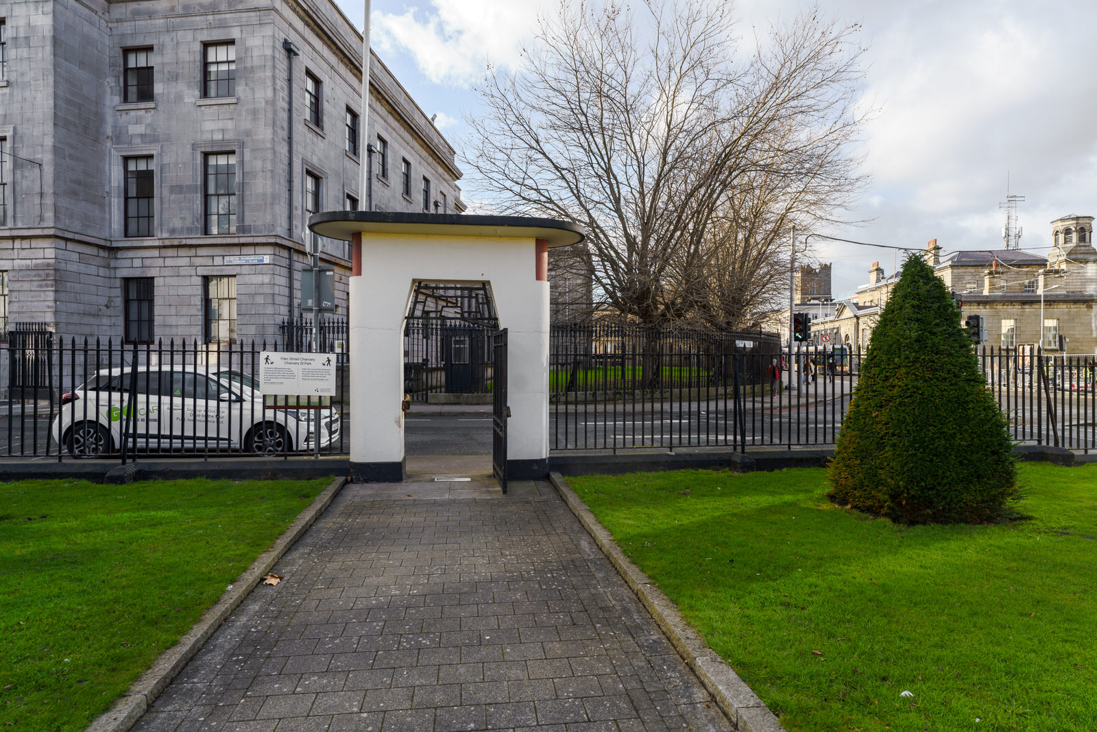
The Chancery Park flats have been described as, "a small carefully conceived building containing 27 flats with an adjoining enclosed garden which was completed in 1935." A plaque on the gateway to the complex is dedicated to Herbert Simms who was appointed Housing Architect for the city of Dublin in 1932. Herbert George Simms, died September 28 1948.
Until 1932 new housing in Dublin had been the responsibility of the city architect, Horace O'Rourke. Between 1923 and 1931 new dwellings were being erected at an average rate of 555 per annum, but the shortage of adequate housing in the city remained acute. In 1932 or 1933 a separate housing architect's Department was formed with specific responsibility for the design and erection of new dwellings, as distinct from their administration and maintenance. Simms was appointed to the new post of Corporation housing architect. He immediately recruited a temporary staff to assist him in the task which confronted him. In 1935 alone 1,552 dwellings were completed. During the sixteen years he was in office, Simms was responsible for the design and erection of some 17,000 new homes, ranging from striking blocks of flats in the central city [influenced by new apartment blocks by de Klerk in Amsterdam and J.P. Oud in Rotterdam] to extensive suburban housing schemes such as those at Crumlin and Cabra.
VIEWS OF THE NEW HAMPTON BY HILTON OPENED FOR BOOKINGS 27 SEPTEMBER 2021?
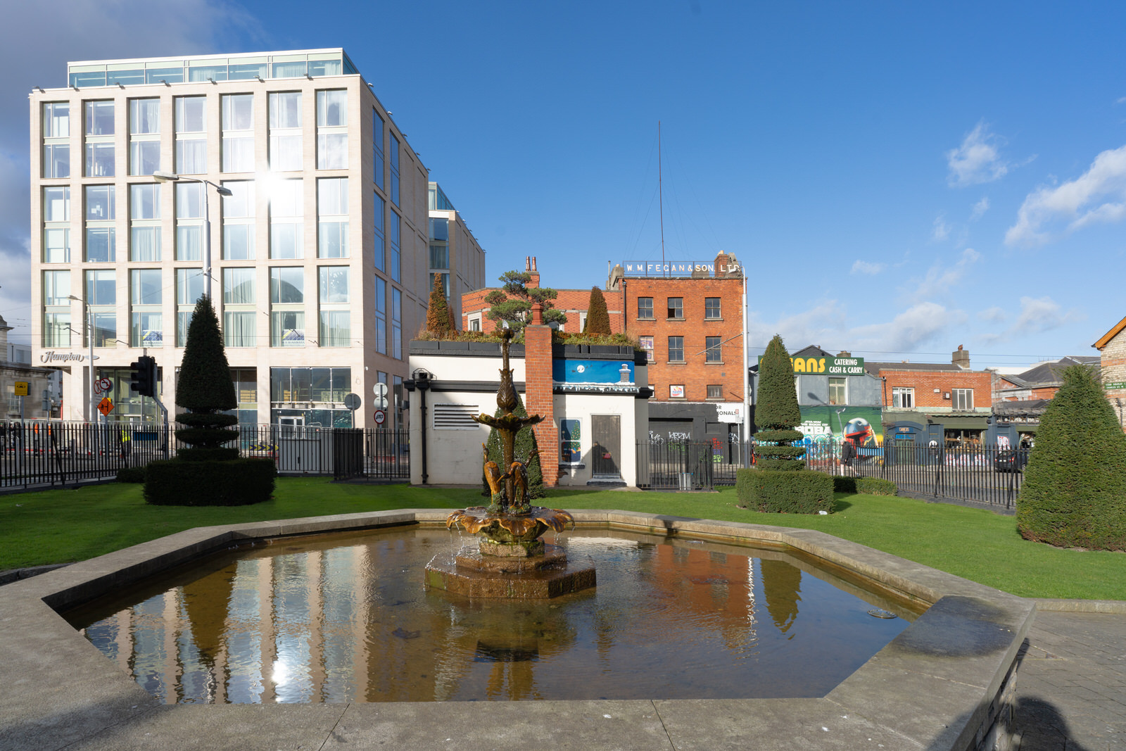
According to various booking sites this hotel opened for bookings on the 27th September 2021 but my research indicates that it will not open to the public until 25th March 2022.
This new hotel has replaced River House at Chancery Street has been vacant since the motor taxation service moved out in 2007. It was owned for about 15 years by developers Joe and Patrick Linders who are best known for their involvement in the revival of the Smithfield area of Dublin.
River House was a 5-storey office block on Chancery Street, Dublin. It was described as a "brutalist eyesore" by the Sunday Times. It was ugly be any definition.
Permission to build River House was granted in 1972, and the building was completed in 1973. It had curtain walling at ground and 1st floor levels, with 4 additional storeys above with pre-cast cladding. The architect of the building has been disputed. Frank McDonald attributed it to John Thompson and Partners, but this led to a libel suit during which it was stated that "neither John or David Thompson of the firm John Thompson and Partners had anything to do with the design or erection of River House". It appears to have been the work of Patrick J. Sheahan and Partners.
After a dispute between the Department of Justice and the Dublin Corporation as to who would occupy the building, the Corporation established its motor tax office in the office block, and for many years it was Dublin's only motor tax office. The building stood vacant from the late 2000s, and attracted anti-social behaviour.
River House was described as "scourge" to the area, and "is considered to be of little or no architectural merit". It was recorded by the Dublin City Council as a dangerous building in February 2016.
River House was initially purchased by Joe and Patrick Linders, who were involved in the redevelopment of parts of the Smithfield area.[9] The building was purchased by Melonmount Ltd in 2017 for €8 million, and permission was sought to demolish it and replace it with a hotel. The financier, Derek Quinlan, was an advisor on the deal. An Taisce have been critical of the proposed replacement building, describing it as "monolithic" and "lumpen". River House was demolished in 2018.
HAMPTON BY HILTON
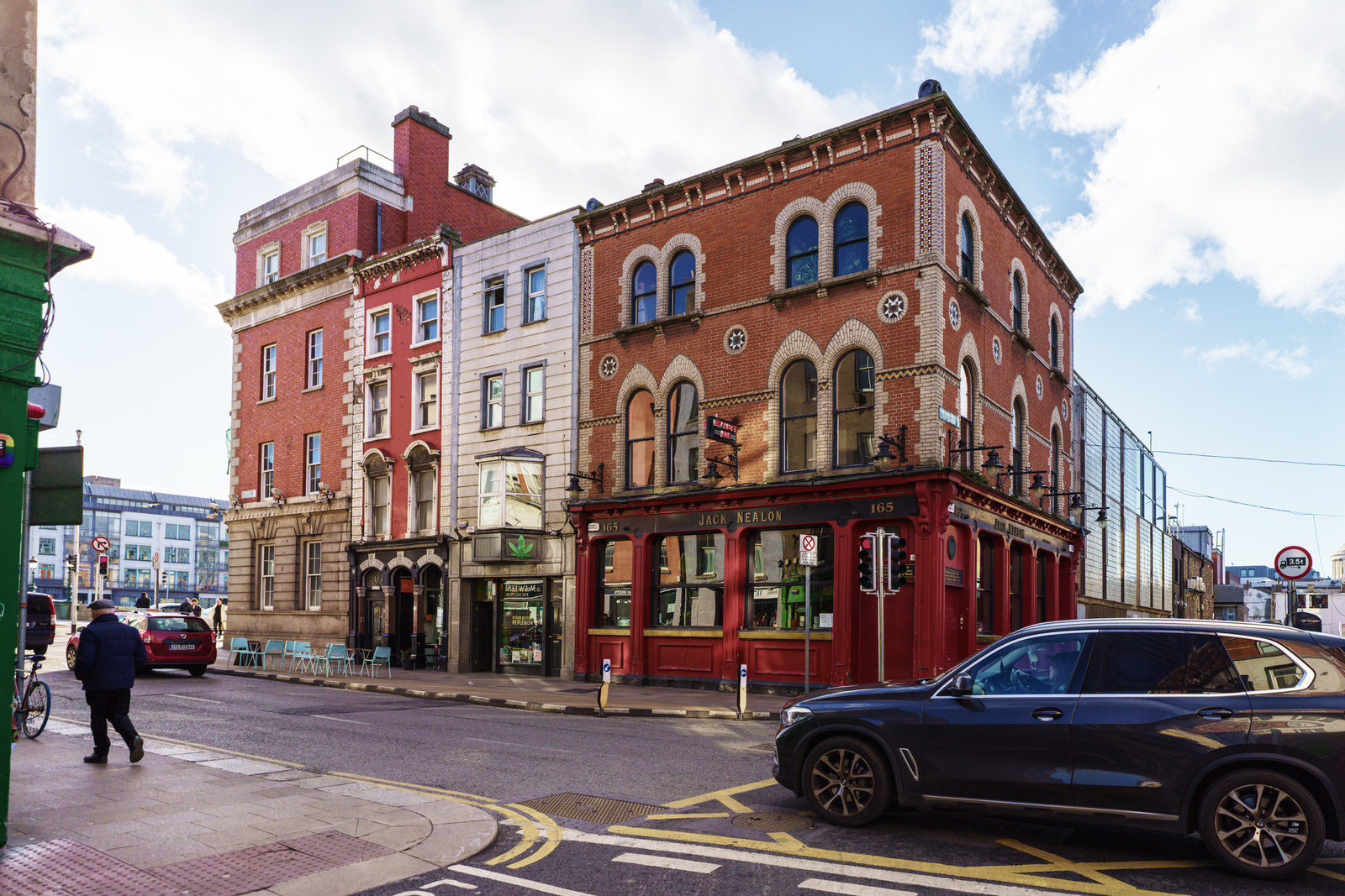
JACK NEALONS PUB ON CAPEL STREETDID NOT CEASE TRADING
I had not noticed but there were rain drops on my lens so some of the images contained multiple distortions.
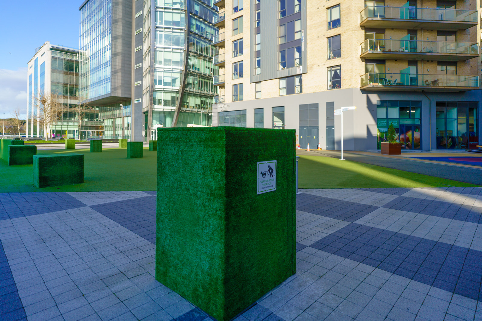
The initial phases of the Heuston South Quarter (HSQ) complex were completed between 2005 and 2008 and resulted in six buildings with office, residential and retail accommodation. However, it includes a 3.63 acre development site with appropriate zoning and late in 2021 an application to build almost 400 apartments near the Irish Museum of Modern Art in Dublin was lodged with the planning board.
According to the Office of Public Works (OPW) A 399 unit ‘built to rent’ apartment scheme reaching to 18 storeys in height will have “an unacceptable impact” on one of Ireland’s most important built heritage sites, Royal Hospital Kilmainham (RHK) and its gardens. The OPW informed An Bord Pleanala that the next phase of the Heuston South Quarter (HSQ) scheme “would have a significant detrimental impact on the architectural and historical setting of the Royal Hospital building”.
HEUSTON SOUTH QUARTERPLANS LODGED TO ADD ALMOST 400 NEW APARTMENTS
I had not noticed but there were rain drops on my lens so some of the images contained multiple distortions.
The initial phases of the Heuston South Quarter (HSQ) complex were completed between 2005 and 2008 and resulted in six buildings with office, residential and retail accommodation. However, it includes a 3.63 acre development site with appropriate zoning and late in 2021 an application to build almost 400 apartments near the Irish Museum of Modern Art in Dublin was lodged with the planning board.
According to the Office of Public Works (OPW) A 399 unit ‘built to rent’ apartment scheme reaching to 18 storeys in height will have “an unacceptable impact” on one of Ireland’s most important built heritage sites, Royal Hospital Kilmainham (RHK) and its gardens. The OPW informed An Bord Pleanala that the next phase of the Heuston South Quarter (HSQ) scheme “would have a significant detrimental impact on the architectural and historical setting of the Royal Hospital building”.
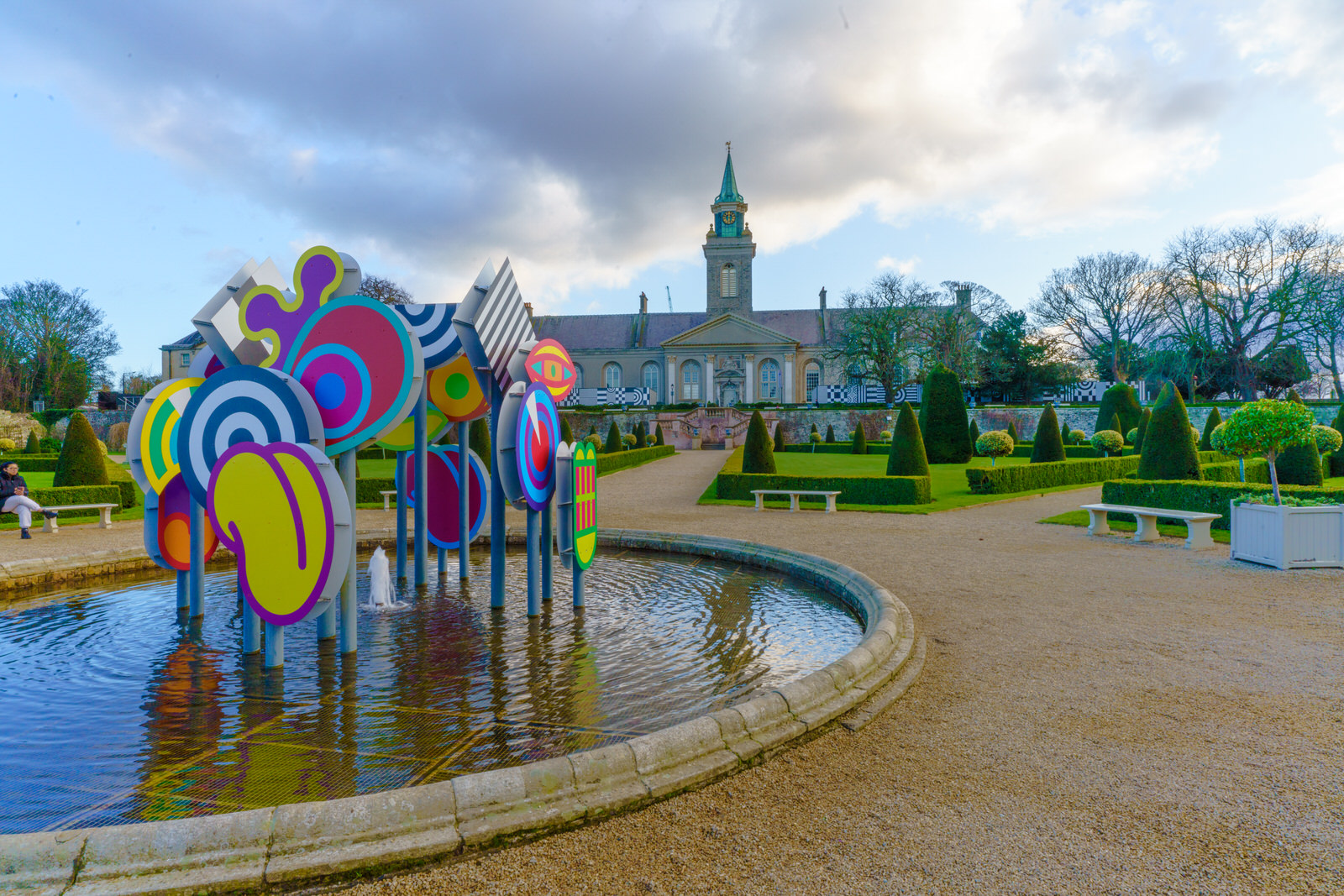
NIALL SWEENEY'S FOUNT OF SATURN 2021ROYAL HOSPITAL KILMAINHAM
Created by artist, designer and nightclub pioneer Niall Sweeney, Club Chroma Chlorologia is a newly commissioned series of site-specific works installed in the gardens and grounds of the 17th-century Royal Hospital Kilmainham, which combine to create unlikely interventions that you can encounter, discover and take part in every time you visit the formal garden.
On August 1 and 2 2021, Saturn was at opposition, meaning the Earth will be located between the ringed planet and the sun. This is when the outer planet is at its most luminous, making for a brilliant night sky view.
Sweeney is a graphic designer from Dublin who makes up one half of Pony Ltd. The studio team were, as their website states, “born from the big smoke of Dublin and the seven hills of Sheffield, this studio is a perfect example of pulling fragments from all directions until the last piece completes the jigsaw.” Pony Ltd are well known for their theatrical and minimalist posters for Panti Bliss.
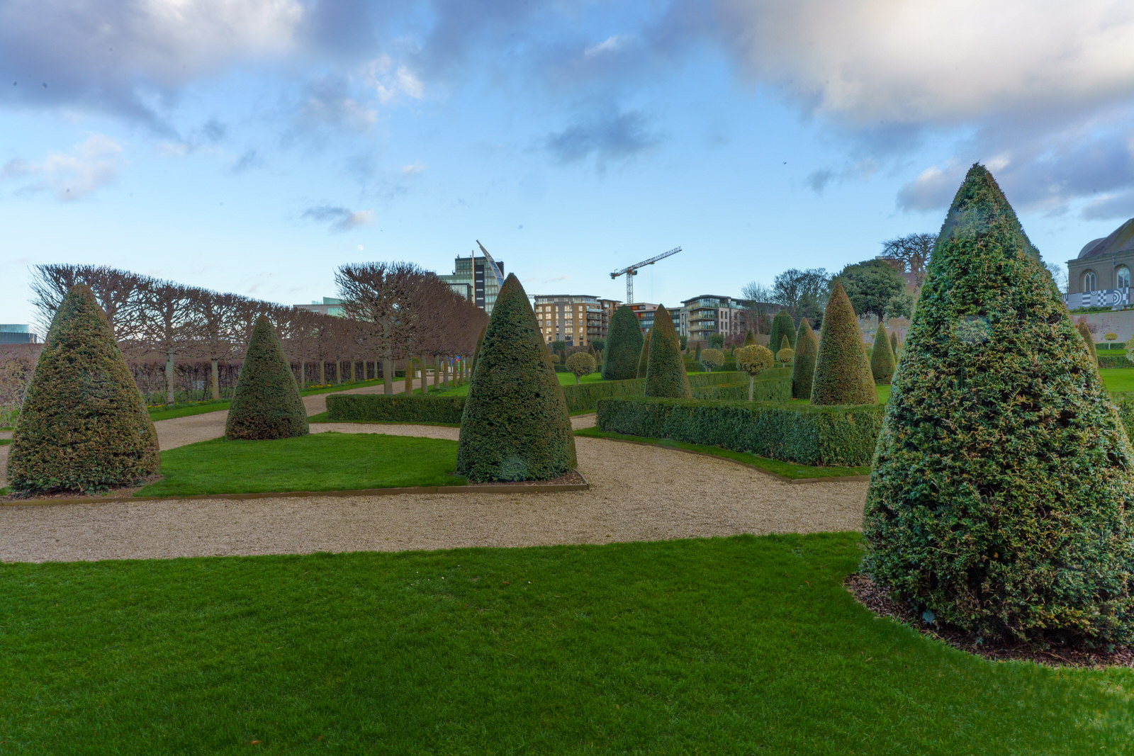
FORMAL GARDENROYAL HOSPITAL KILMAINHAM
The Formal Garden was also know as the Masters Garden lies below the North Terrace on the Royal Hospital’s principal front and forms an important feature of the overall design. The hospital minutes of 1595 note “The gardens walls to be arranged so the garden may lie open to the north part…. for the greater grace of the house.”
Over the years, gardens, by their very nature, change and we know that the Royal Hospital Garden not only changed but was also periodically neglected. In restoring such early gardens one of the difficulties is in the inconclusive nature of historical evidence. The Minute Books of the Royal Hospital refer to planned works but it is not always clear that all the works were ever carried out or to which of the three gardens which once occupied the site they refer. Old maps indicate significant changes to the Formal Garden but there is no specific information of the original design.
In the early 1900’s when it was decided to restore the Garden the ‘ideal’ classical layout for a garden published by John Evelyn in 1664 was considered to be close to its original layout. The decision was made to use this ‘ideal’ plan as a basis for the first phase of the restoration. The more elaborate decorative form which the garden took at one stage was considered inappropriate and impractical to restore.
The basic layout having been established, the second phase of the restoration was initiated in the late 1980’s. To develop the gardens three dimensional features work began on the garden house, the walls, the paths, the structural planting of the hedges, topiary and pleached trees and, latterly, the fountain, entrance steps and terrace. The third and final phase developed the historical planting, including training structures for espalier trees along the walls, the planting of small trees and bulbs in the ‘wilderness’ quarters as well as statuary urns and garden furniture.
The intention in this restoration is to create features which represent 17th and 18th century Formal Garden design based on extensive research of the site and the interpretation of features of the time. In that sense it is important to understand that this is not an historical reconstruction but a restoration in the spirit of the late 17th and early 18th centuries.
The garden was restored to its present state by the Office of Public Works under the supervision of architect Elizabeth Morgan.
DREAMSPHERE BY AOIFE DUNNEROYAL HOSPITAL KILMAINHAM
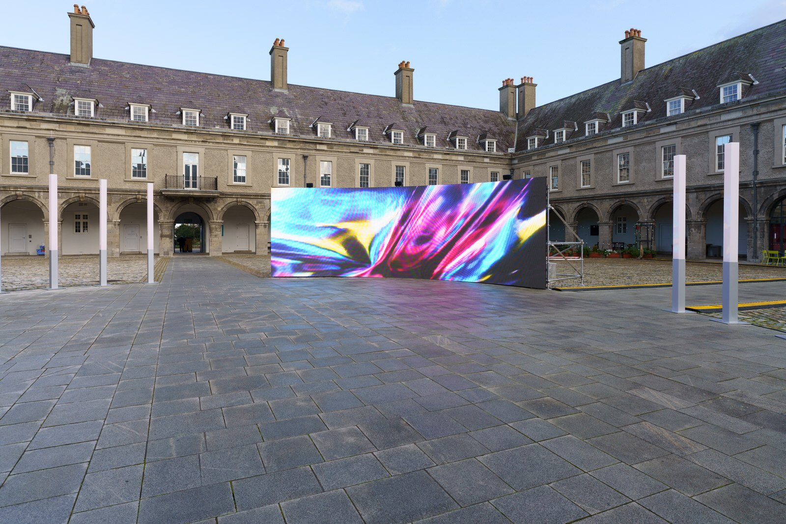
Hypnotically staged in the IMMA Courtyard, DREAMSPHERE – a site-specific installation devised by IMMA artist-in-residence Aoife Dunne – transports spectators to an immersive mindscape. Exploring the notion of consciousness as an exteriorised shared space in which to roam and reside, audiences are encircled by arresting sounds and screens. The ensuing visualisations, unfolding at a frenetic pace, send viewers on a surreal trip through the tumultuous mind; teasing future prospects of consciousness-sharing whilst exploiting technology to stretch the psychological parameters of human experience.
Dunne’s long-standing penchant for melding physical and digital disciplines is made manifest by the onscreen projections. From the material splendour of her costuming to the tactility of obscure found objects, a miscellany of palpable textures is transported to this virtual dimension, stoking visual-haptic sensations within the viewer. Heightening the multi-sensorial feel of Dunne’s dream realm, sonic idiosyncrasies soundtrack the performer’s fevered envisioning; furthering allusions to mental overwhelm and entrapment already sparked by the work’s enclosed structure.
DREAMSPHERE epitomises the multi-hyphenate nature of Dunne’s practice: the installation’s myriad features, unlimited to sculpture, sound, performance and film, were single handedly conceived by the artist, reflecting her tireless dexterity and flair for phantasmagoria.
Digital installation artist Aoife Dunne creates visually-arresting, immersive environments fusing sculpture, video, sound, performance, technology, and costume. Fuelled by a fascination with digital and material culture, Dunne’s idiosyncratic touch is laced with references to the surreal and hyper-real. Exploring an ethos rooted in post-pop and post-internet, Dunne’s work envelops audiences in abstract, detail-driven virtual and physical realms. Her multi dimensional approach to crafting large-scale, experiential work is informed by a diverse creative background steeped in dance, performance, fashion and musical composition. Bulldozing through the boundaries of what conventional exhibitions entail, Dunne reaps continent-crossing acclaim for her inimitable aesthetic and site-specific, colourfully chaotic work.
Aoife Dunne studied Fine Art Media at The National College of Art and Design and received her BFA in 2016. Since graduating, Dunne has held numerous exhibitions internationally, including The Museum of Contemporary Art Denver, The Royal Academy of Arts London, and upcoming solo shows in Puerto Rico, New York, London, Dublin, Paris, and Tokyo.
Artist website: aoifedunne.com Follow Aoife Dunne on Instagram: @efadone
BRONZE BUST OF JAMES CLARENCE MANGAN ST STEPHEN'S GREEN FEBRUARY 2022
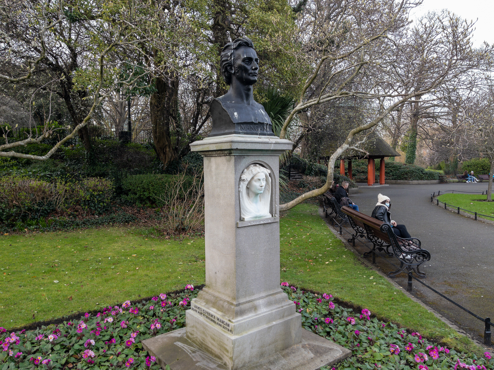
Bronze bust, 'MANGAN', on a socle [plinth] with a marble relief of a woman's head, 'Roisin Dubh'. Sculptor Oliver Sheppard.
James Clarence Mangan, born James Mangan (Irish: Séamus Ó Mangáin; 1 May 1803, Dublin – 20 June 1849), was an Irish poet. He freely translated works from German, Turkish, Persian, Arabic, and Irish, with his translations of Goethe gaining special interest. After the Great Famine in Ireland, he began writing patriotic poems, such as A Vision of Connaught in the Thirteenth Century. Mangan was troubled, eccentric, and an alcoholic. He died early from cholera. After his death, Mangan was hailed as Ireland's first national poet and admired by writers such as James Joyce and William Butler Yeats.
Oliver Sheppard RHA (10 April 1865 – 14 September 1941) was an Irish sculptor, most famous for his 1911 bronze statue of the mythical Cuchullain dying in battle. His work was also part of the art competitions at the 1924 Summer Olympics and the 1928 Summer Olympics.
"Róisín Dubh" ( "Dark Rosaleen" or "Little Dark Rose"), written in the 16th century, is one of Ireland's most famous political songs. It is based on an older love-lyric which referred to the poet's beloved rather than, as here, being a metaphor for Ireland. The intimate tone of the original carries over into the political song. It is often attributed to Antoine Ó Raifteiri, but almost certainly predates him
TRACE BY GRACE WEIRHAS IT DISAPPEARED WITHOUT TRACE
This is a very old photograph dating from 6 August 2006. Unfortunately I do not know what camera was used but I suspect that it was a Canon IXUS [known as a Powershot in the USA].
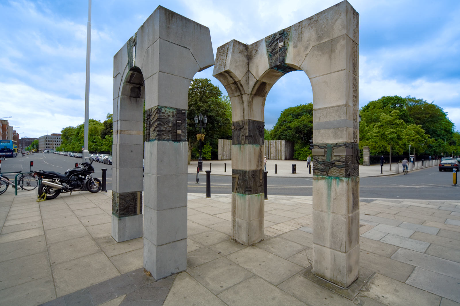
From about 1988 until 2013 this large sculpture by sculptor Grace Weir stood across the street from St Stephen’s Green, near Merrion Row. I thought that the sculpture was "Portals" but I recently discovered that it was "Trace".
Unfortunately this sculpture had to be removed to make room for traffic that had to be diverted because of the extension of the LUAS green line. It is now in storage but it has been discovered in 2017 it was discovered that four of the Portland-stone blocks were missing.
Trace had been commissioned in 1988 as part of Dublin’s millennium celebrations. It was made from limestone and Portland stone, with the latter taken from the Custom House and donated to the artist when the building was undergoing restoration works in the late 1980s.
Grace Weir studied at the National College of Art and Design and also at Trinity College Dublin, where she won an award for her Masters in Multi-Media graduation project. She co-represented Ireland at the 49th International Venice Biennale in 2001 with her video installation 'around now'.
Grace Weir collaborated with an astrophysicist exploring aspects of Einstein's relativity and was commissioned by Cornerhouse in Manchester UK to make two film works ‘Dust defying gravity' and ‘Bending spacetime in the basement' in regard to this. They were premiered at her solo show titled ‘a fine line' at Cornerhouse, Manchester UK in September 2003. In May 2005 she was elected a member of Aosdána. Her work is held in many collections including that of the Irish Museum of Modern Art.
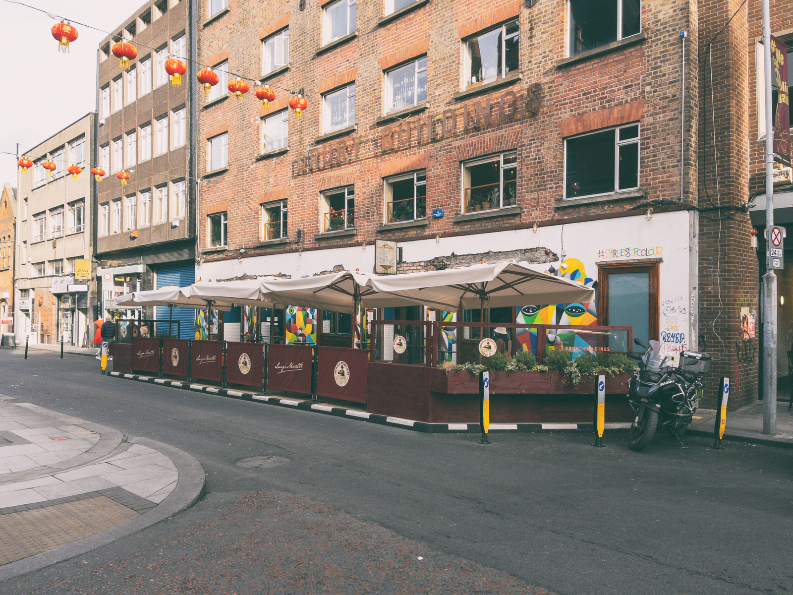
AMY AUSTIN DRURY STREET
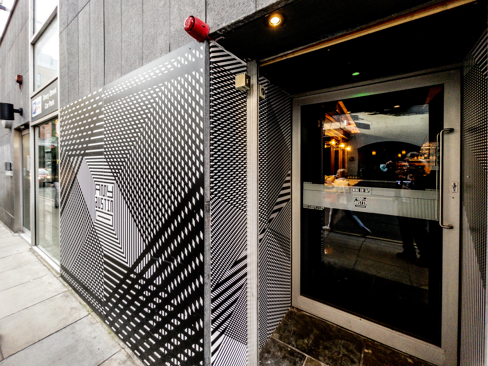
When I first saw this in 2021 I thought that it was an example of street art.
I have been advised by a friend that the name "Amy Austin" is a reference to a graffiti message, "I Love You So Much mural, by Austin [Texas] based musician Amy Cook.
The wine bar within a car park sits thirty guests and according my, already mentioned, friend it has a single large table in the middle with bar seating at the walls.
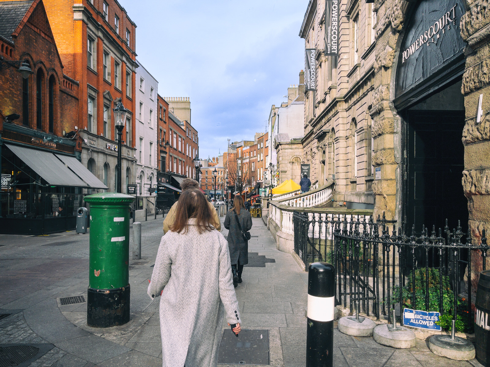
DRURY STREETFEBRUARY 2022
Drury Street was originally known as Little Boater Lane before it became Drury Lane before becoming a street. According to a number of local historians Drury is a reference to Sir William Drury who had been Lord Justice of Ireland in the late 16th Century. Today the street is a shopping destination but more recently it has become a popular dining destination.
Sir William Drury (2 October 1527 – 13 October 1579) was an English statesman and soldier. In 1576, he was sent to Ireland as President of Munster, where his rule was severe but effective, and in 1578 he became Lord Justice of Ireland, taking the chief control of affairs after the departure of Sir Henry Sidney.
He was engaged in resisting the rebellion of the Earl of Desmond in the summer of 1579 when he died of illness at Waterford in Oct. He was buried in St. Patrick's Cathedral. A monument bearing his effigy was erected some time later, but no longer exists. His house in London gave its name to the street Drury Lane.
SOUTH WILLIAM STREETDUBLIN CITY CENTRE
Someone mentioned to me that there are currently seventeen restaurants on South William Street ... some day I might go to the trouble of checking this claim.
South William Street, laid out in 1676 by William Williams, was part of the expansion of Dublin in the 17th century as the city outgrew the medieval walls. The street became a prominent area of the city in the 18th century and what can be seen today is mainly a legacy from that era. Today, the street has one of the largest and most complete groups of 18th century merchants' houses in Dublin.
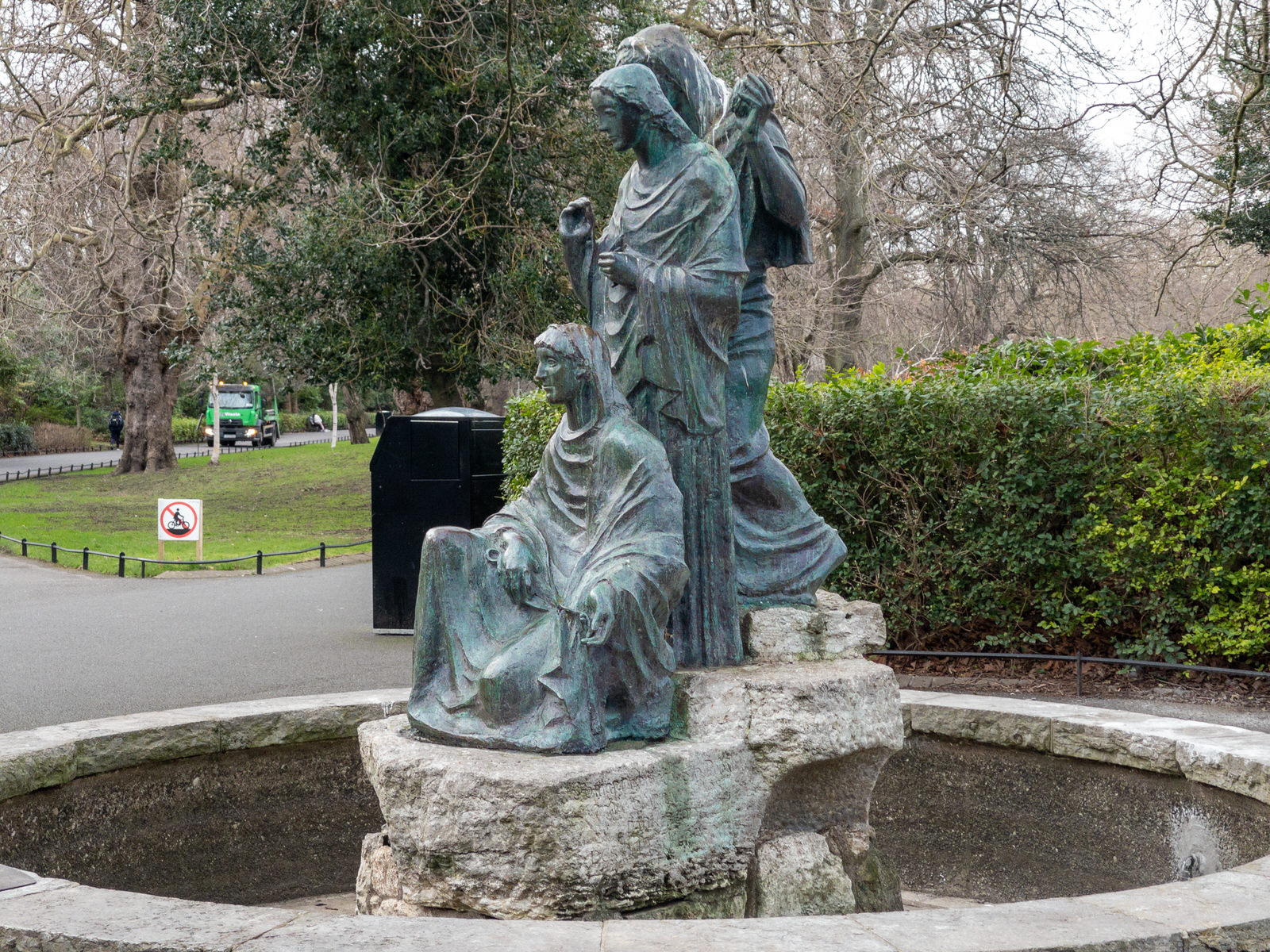
THE THREE FATES BY GERMAN SCULPTOR JOSEF WACKERLE
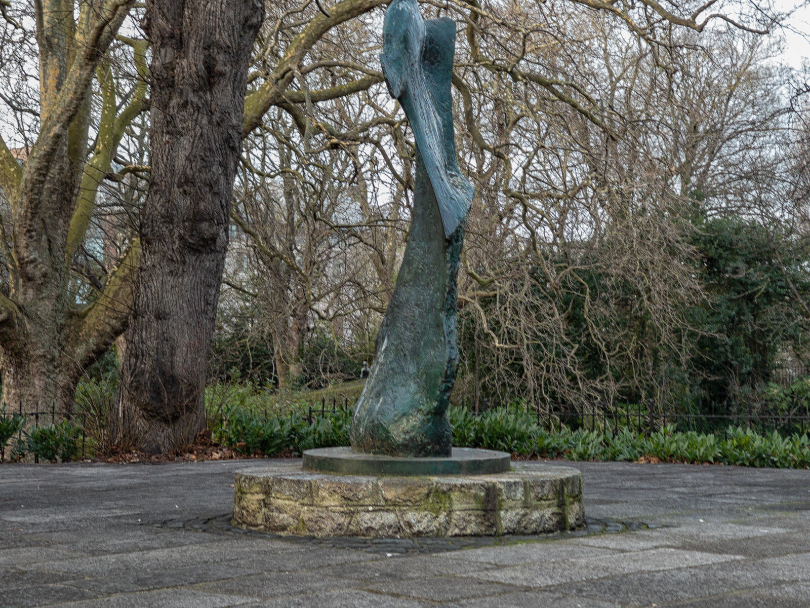
The Yeats memorial garden with a sculpture by Henry Moore.
Published on 8 July 2020: "Today, the Office of Public Works is delighted to announce the reopening of the William Butler Yeats Memorial in St Stephens Green Park, following an extensive programme of conservation works including the rejuvenation of ‘Knife Edge’ a sculpture by the internationally renowned sculpture Henry Moore."
The W.B. Yeats Memorial is situated in an area known as the “Mount”, being a series of irregular terraces, forming an amphitheatre within the park. The creation of the amphitheatre was intentional; to provide an area in the Green that can be used for quiet contemplation or theatre, in the round and oration, reflecting Yeats’ work as a poet & playwright, as much as an informal place for people to gather. It remains today a much loved place, regarded by many as their own shared secret place among the trees.
The sculpture was donated by the W.B. Yeats Memorial Committee and funded by Irish American Philanthropist Mr. J. Kelly and Córas Tráchtála Teoranta. The Committee, who made a formal application to the Office of Public Works to place the proposed memorial in St Stephens Green, as "it was one of Yeats' favourite haunts."
The location of the sculpture was specifically chosen for the attractive views of the lake and waterfall obtained from the setting, which was terraced and paved by the Office of Public Works at the time. It has been cited as one of the finest settings for Henry Moore's 'Knife Edge' by such eminent bodies as the Henry Moore Foundation.
Set onto the terrace in front of the sculpture is a plaque giving the sculpture its context as part of the Memorial. This was created by esteemed Sculptor Michael Biggs, the prominent sculptor and graphic designer responsible for the Arbour Hill Memorial Wall and the Series B Irish Banknotes (circulation 1976-1992).
On October 26th 1967, the W.B. Yeats Memorial was unveiled by the Taoiseach, Mr. Jack Lynch. The recent works included; repair and re-laying of pavements, steps and terraces; conservation of bronze sculpture and plaque; and installation of handrails to improve accessibility to the W.B. Yeats Memorial.
THE WB YEATS STATUE IN ST STEPHEN'S GREEN BY HENRY MOORE
The Yeats memorial garden with a sculpture by Henry Moore.
Published on 8 July 2020: "Today, the Office of Public Works is delighted to announce the reopening of the William Butler Yeats Memorial in St Stephens Green Park, following an extensive programme of conservation works including the rejuvenation of ‘Knife Edge’ a sculpture by the internationally renowned sculpture Henry Moore."
The W.B. Yeats Memorial is situated in an area known as the “Mount”, being a series of irregular terraces, forming an amphitheatre within the park. The creation of the amphitheatre was intentional; to provide an area in the Green that can be used for quiet contemplation or theatre, in the round and oration, reflecting Yeats’ work as a poet & playwright, as much as an informal place for people to gather. It remains today a much loved place, regarded by many as their own shared secret place among the trees.
The sculpture was donated by the W.B. Yeats Memorial Committee and funded by Irish American Philanthropist Mr. J. Kelly and Córas Tráchtála Teoranta. The Committee, who made a formal application to the Office of Public Works to place the proposed memorial in St Stephens Green, as "it was one of Yeats' favourite haunts."
The location of the sculpture was specifically chosen for the attractive views of the lake and waterfall obtained from the setting, which was terraced and paved by the Office of Public Works at the time. It has been cited as one of the finest settings for Henry Moore's 'Knife Edge' by such eminent bodies as the Henry Moore Foundation.
Set onto the terrace in front of the sculpture is a plaque giving the sculpture its context as part of the Memorial. This was created by esteemed Sculptor Michael Biggs, the prominent sculptor and graphic designer responsible for the Arbour Hill Memorial Wall and the Series B Irish Banknotes (circulation 1976-1992).
On October 26th 1967, the W.B. Yeats Memorial was unveiled by the Taoiseach, Mr. Jack Lynch. The recent works included; repair and re-laying of pavements, steps and terraces; conservation of bronze sculpture and plaque; and installation of handrails to improve accessibility to the W.B. Yeats Memorial.
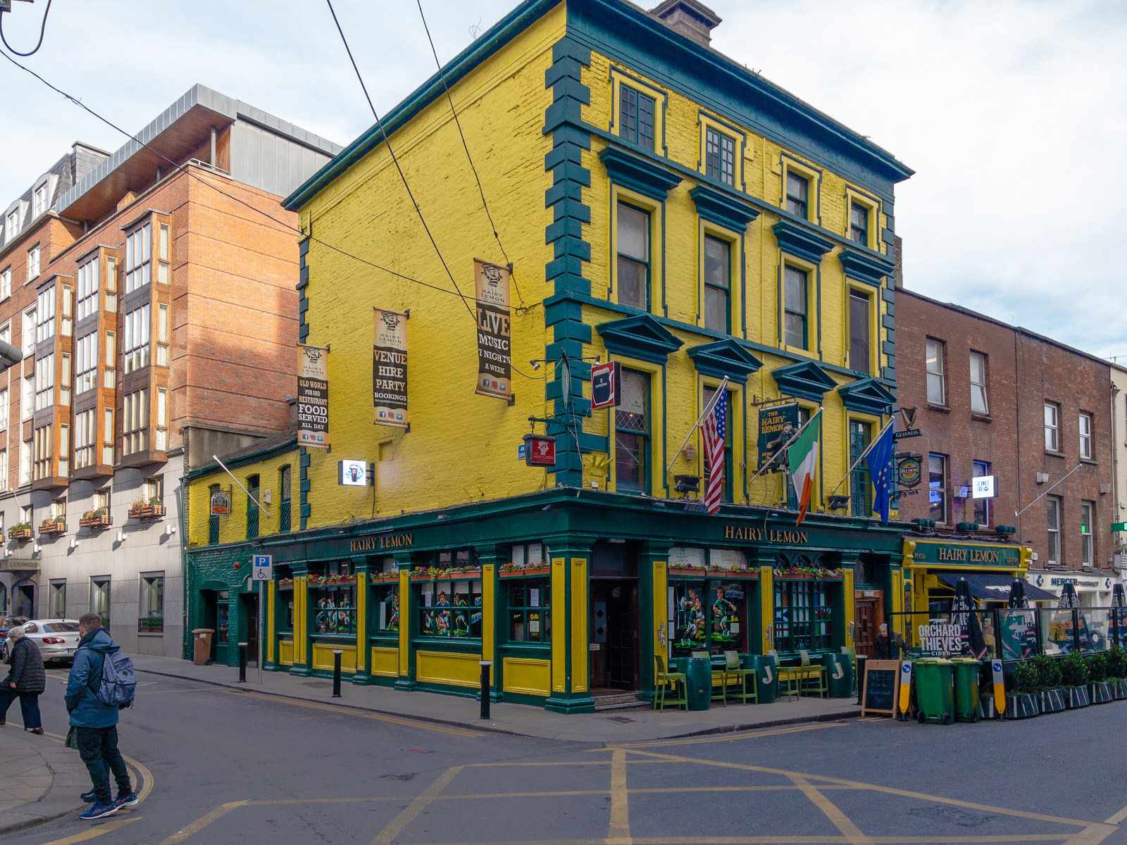
THE HAIRY LEMONWHAT A STRANGE NAME FOR A PUB
In Dublin in the 1950s there was a dog catcher and he had a lemon shaped head and yellowish skin and therefore the locals referred to him as the hairy lemon.
Situated on Johnsons Place, close to the Stephens Green Centre and Grafton Street, the Hairy Lemon provides a welcome atmosphere as you take a break from the city or settle in for a pleasant drink in good company.
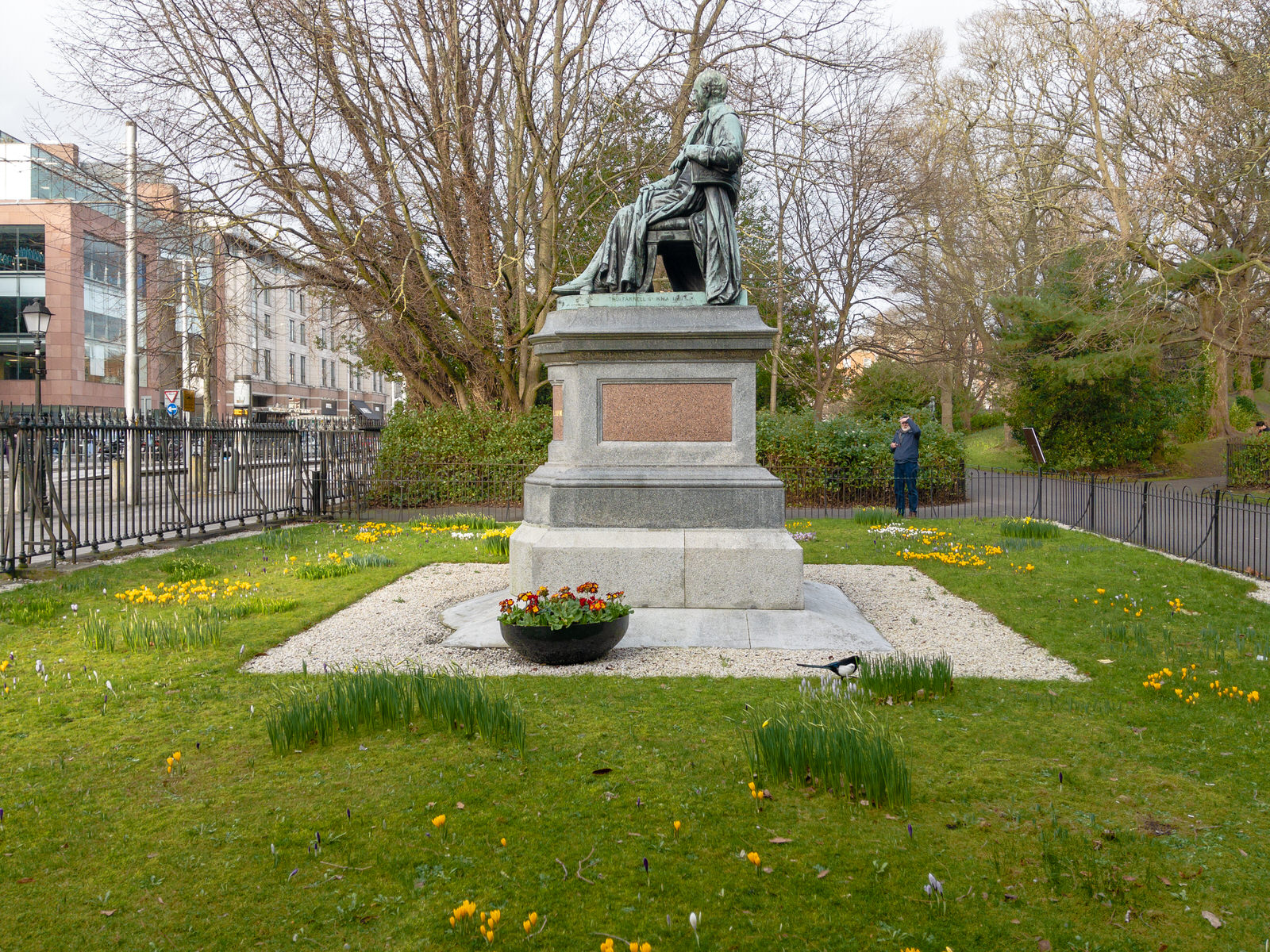
THE SEATED STATUE OF LORD ARDILAUNST STEPHEN'S GREEN IN DUBLIN
A seated statue of Lord Ardilaun on the western side, the man who gave the Green to the city, facing the Royal College of Surgeons which he also sponsored.
Access to the Green was restricted to local residents, until 1877, when Parliament passed an Act to reopen St Stephen's Green to the public, at the initiative of Sir A.E. Guinness, a member of the Guinness brewing family who lived at St Anne's Park, Raheny and at Ashford Castle. He later paid for the laying out of the Green in approximately its current form, which took place in 1880, and gave it to the Corporation, as representatives of the people. By way of thanks, the city commissioned a statue of him, which faces the College of Surgeons. His brother Edward lived at Iveagh House, which his descendants gave in 1939 to the Department of External Affairs (now the Department of Foreign Affairs).
The park is now operated by the Office of Public Works (OPW) on behalf of the Irish state.
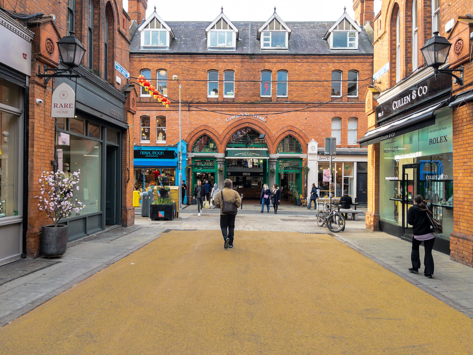
CASTLEMARKETMANY UPSET BY NEW SURFACE
Many are complaining, especially online, about Dublin City Council's decision to remove the iconic red cobblestones [red brick pavers] from Castle Market so I decided to have a look.
Dublin City Council issued the following statement "There has been significant deterioration in the condition of the red brick pavers currently on Castlemarket due to constant loading from delivery trucks. This significant deterioration has caused bricks to loosen which has resulted in numerous trip hazards and an unsuitable surface for pedestrians. Road Maintenance Services’ contractor, SIAC BP, are replacing the area of red brick pavers with a beige coloured asphalt which is more pedestrian friendly while also being able to sustain the loading from delivery trucks. The beige colour is in keeping with other recent pedestrian area resurfacing around the city including Exchequer Street, Wicklow Street, Duke Street, South Anne Street and North Earl Street."
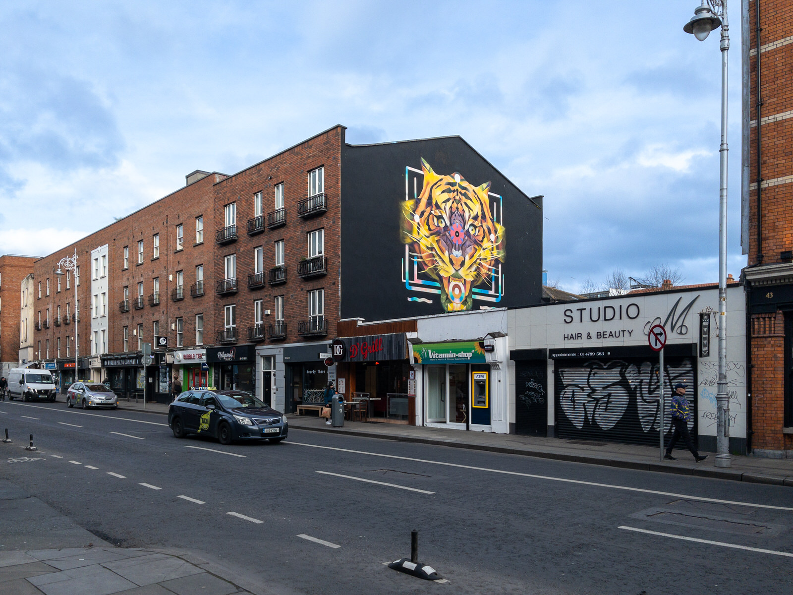
THE TIGER AND THE LUCKY DUCKAUNGIER STREET
The Tiger Mural predates the current Year Of The Tiger [Lunar New Year].
The owners describe the Lucky Duck as " an elegant neighbourhood pub and cocktails bar where we are making the old new again."
The building, dating from 1890 and is was at one stage known as Aungier House, has been vacant for at least twenty years and while I went to Kevin Street College, nearby, I cannot remember the name that it operated under but according to some of my fellow students it sold the cheapest pint in Dublin (I never knew if that was a recommendation or a warning).
I am not an expert when it comes to Dublin Pubs but to the best of my knowledge The Lucky Duck was originally to be called The Dutch Billy, after an architectural style of building that was once common in Dublin but when it was realised that the name might be considered to be a reference to William of Orange that idea was dropped.
Note: Dublin’s Dutch Billys [Gable fronted houses] were reputedly named after William of Orange, and their arrival in Dublin is generally attributed to an influx of French Huguenots after 1685 and to Dutch and Flemish Protestants fleeing persecution after 1690.
I would have gone with Dutch Billy.
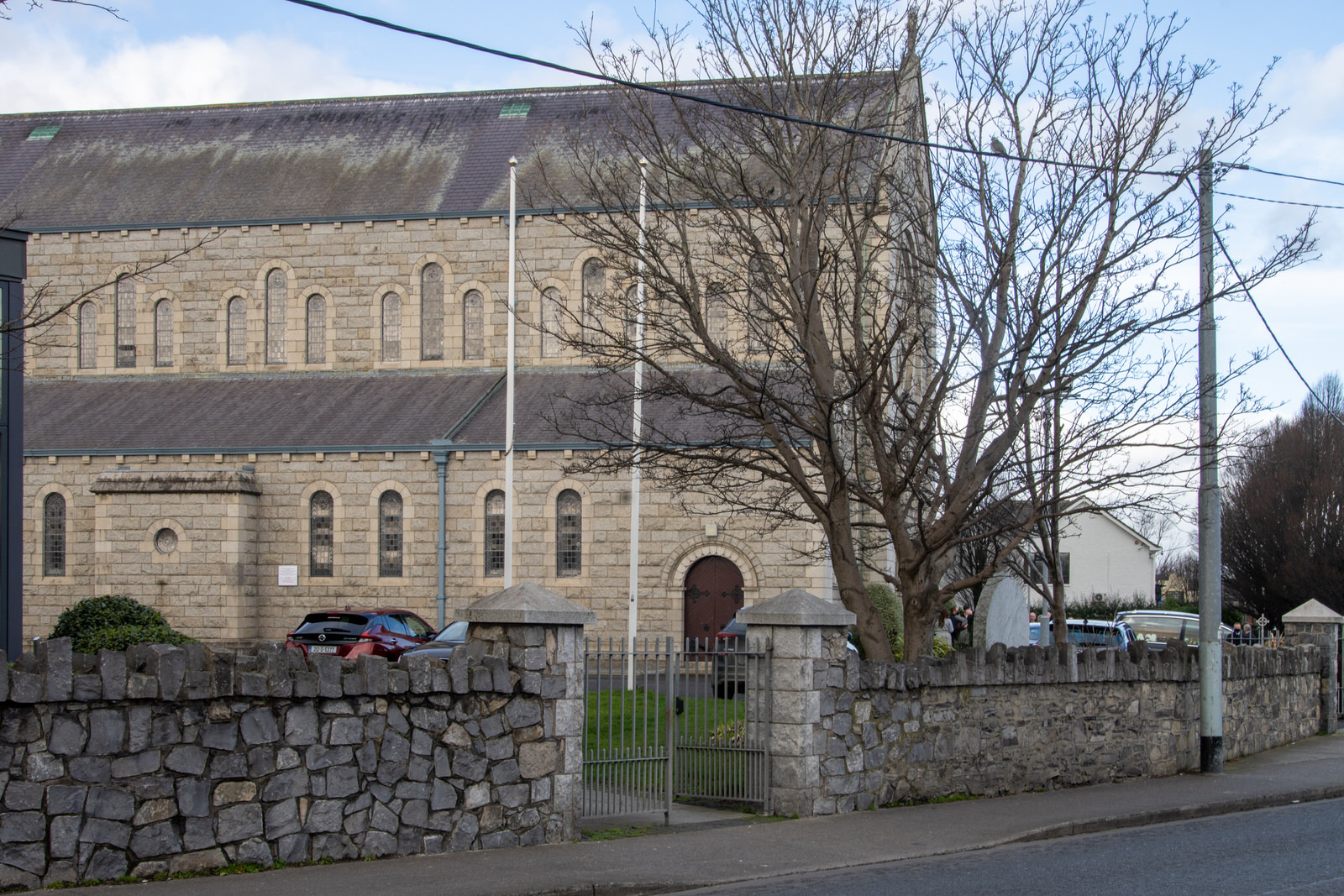
ST AGNE'S CATHOLIC CHURCHCRUMLIN VILLAGE
There was no church of any denomination in Terenure until the second half of the 19th Century. The original Catholic church of St. Joseph was designed by William Henry Byrne & Son, constructed between 1897 and 1905, and it’s an asymmetric romanesque building separated from the street by a short fence.
The current building is a large Gothic revival church started in 1904 but later extended in 1952, leaving the altar in the centre of the long nave, and two main entrance fronts. The intended spire was never completed. Inside, there are stained glass windows by Harry Clarke dating from the 1920s – the Crucifixion, the Annunciation, and the Coronation of Virgin in Glory, but unfortunately I did not get the opportunity to photograph them this visit.
From The Building News, May 20, 1898: “At Terenure a new Roman Catholic Church, dedicated to St. Joseph, is in course of erection from designs by Mr. W. H. Byrne, of Suffolk-street, Dublin. The building is Romanesque in style. It consists of nave 46ft. by 30ft., with north and south aisles lift, wide, chancel and sanctuary 70ft. in length and 30ft. wide, side chapels and transepts, and a tower and spire rising to a height of 160ft. The architects are Messrs. Michael Moade and Sons, of Great Brunswick-street, Dublin.”
Architect, of Dublin. William Henry Byrne was born on 17 May 1844. Byrne is particularly associated with Catholic church architecture and was architect to the Catholic dioceses of Killala, Ossory, Tuam, and Achonry and to the Sisters of Charity in Ireland, who ran the Mater, St Vincent's and Temple Street hospitals in Dublin. He was also architect to the South City Markets Co. Dublin, responsible for the reconstruction of the markets after the fire of 1893, and to Pim Brothers' large drapery establishment on the opposite side of South Great George's Street. He was architect to the North Dublin Union and architectural adviser to the Congested Districts Board and to the Inspectors of Lunatics. In 1903 he acted as assessor in the competition for a new public library in Drogheda.
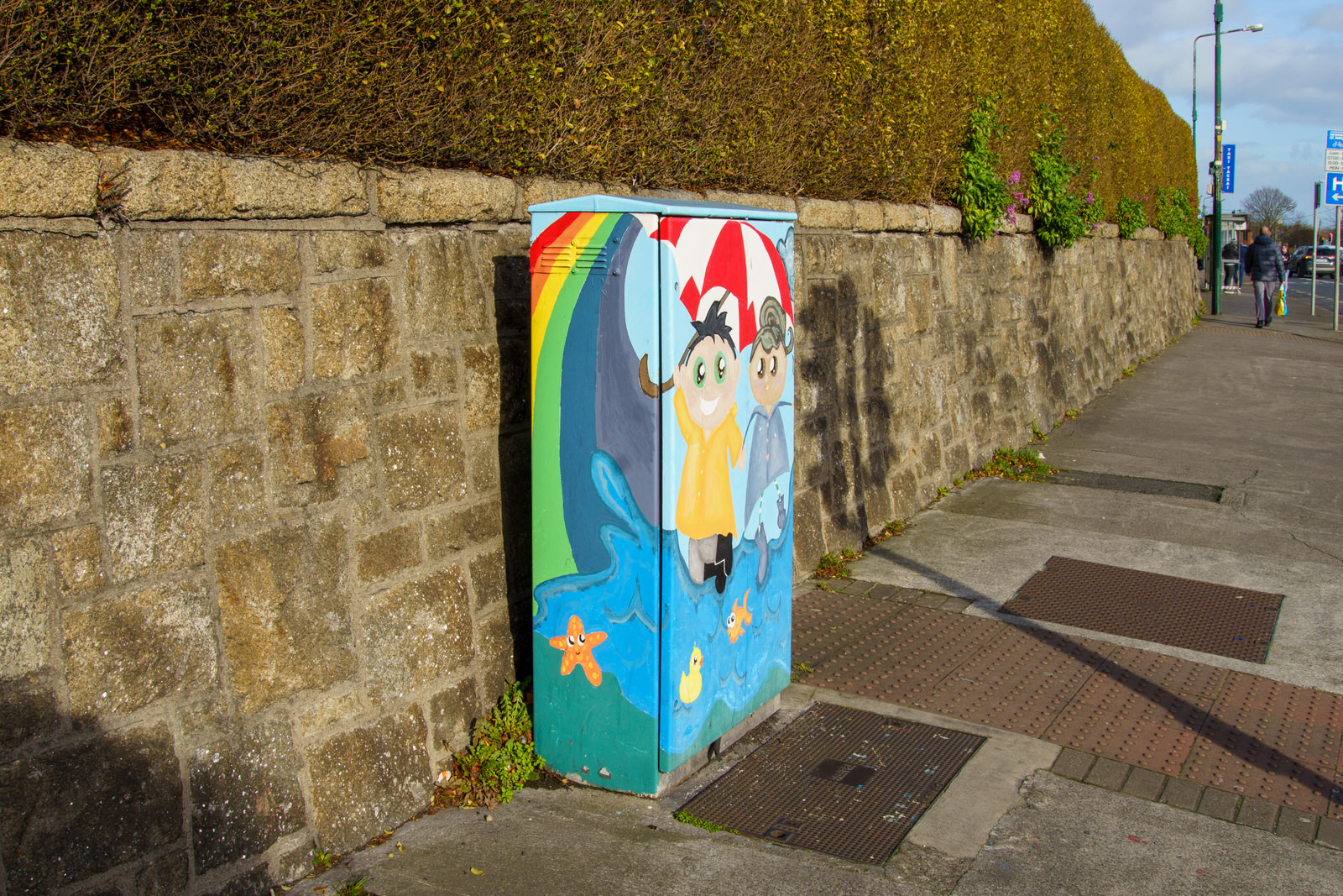
PAINT-A-BOX STREET ARTEXAMPLES OF URBAN EXPRESSION IN CRUMLIN
On the 9th February 2022 I explored much of the Crumlin area of Dublin in order to select suitable locations to photograph in detail at a later date and I took the opportunity to photograph some examples of what I refer to as "Paint-A-Box Streetart".
PODDLE PARK AND RAVENSDALE DRIVE AND NEARBYKIMMAGE AREA OF DUBLIN
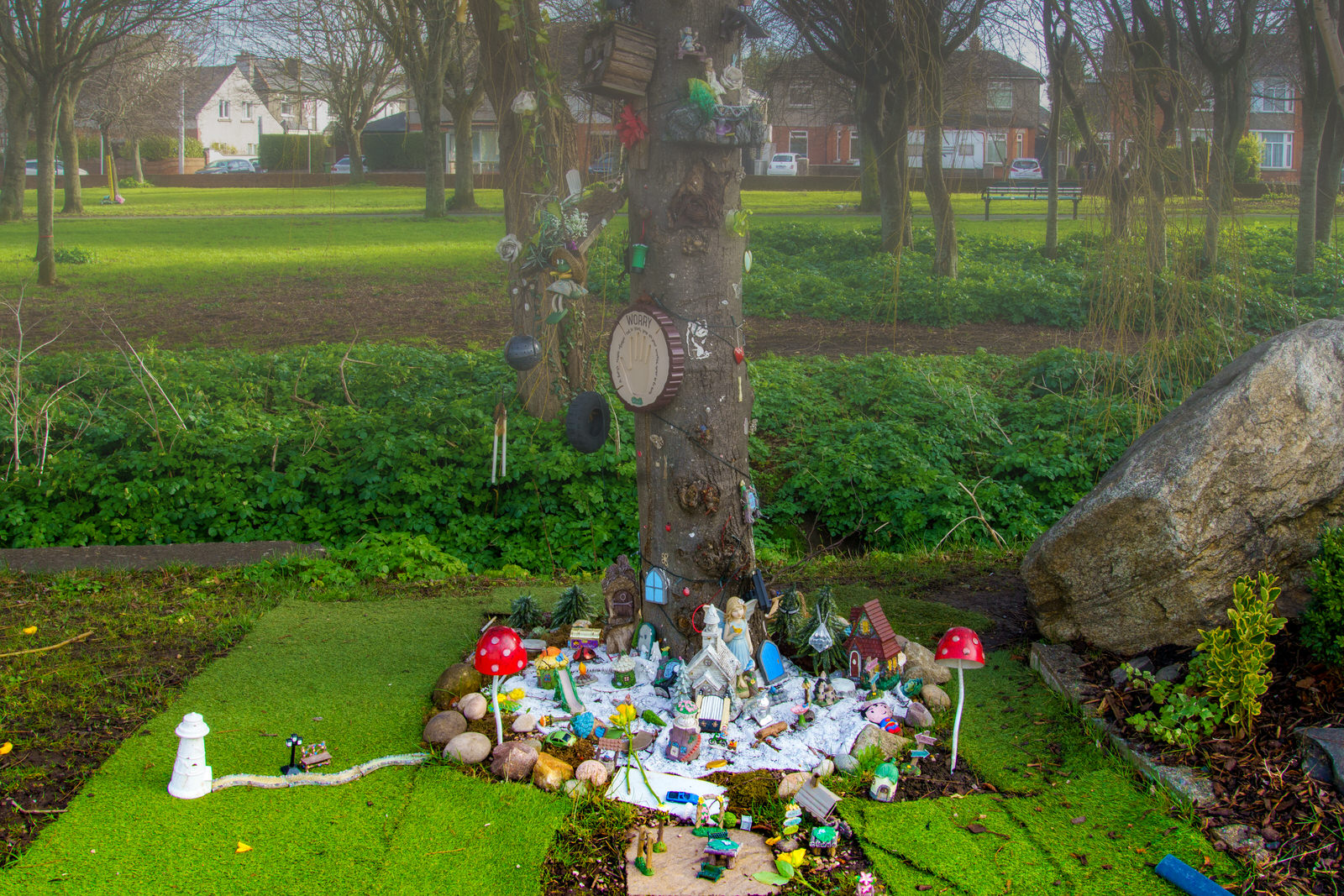
Six, modern, fairy trees [or fairy grottos] have appeared in the Crumlin and Kimmage areas of Dublin since the arrival of lockdowns in 2020. They are located at Ravensdale Drive, St Martins Drive/Bangor Road, Clogher Road, Cashel Road Clonmacnoise Green and O’ Dwyer Road, these fairy trees are related to lockdown and the fairies come every few nights to keep an eye on the trees and to ensure the trees are being looked after by the local children. Before the end of the month I hope to locate and photograph the other five trees.
Traditionally fairies are connected with the Irish traditional belief in the Otherworld. Fairy forts and hawthorn trees, also known as fairy trees, are places where fairies are thought to reside. Thus, to tamper with these sites is seen as hugely disrespectful to the fairies. There are several trees sacred to Ireland, but the lone hawthorn (aka the "may" tree) is particularly considered a fairy haunt, and patches underneath where the grass have worn down are reputed to be due to fairies dancing. Though literary fiction more than folklore, two consecutive poems by Samuel Ferguson, "The Fairy Thorn" and "The Fairy Well of Lagnanay" describes the lone Fairy Hawthorn (The Whitethorn).
ONE OF SIX FAIRY TREESTHIS ONE IS AT RAVENSDALE DRIVE
Six, modern, fairy trees [or fairy grottos] have appeared in the Crumlin and Kimmage areas of Dublin since the arrival of lockdowns in 2020. They are located at Ravensdale Drive, St Martins Drive/Bangor Road, Clogher Road, Cashel Road Clonmacnoise Green and O’ Dwyer Road, these fairy trees are related to lockdown and the fairies come every few nights to keep an eye on the trees and to ensure the trees are being looked after by the local children. Before the end of the month I hope to locate and photograph the other five trees.
Traditionally fairies are connected with the Irish traditional belief in the Otherworld. Fairy forts and hawthorn trees, also known as fairy trees, are places where fairies are thought to reside. Thus, to tamper with these sites is seen as hugely disrespectful to the fairies. There are several trees sacred to Ireland, but the lone hawthorn (aka the "may" tree) is particularly considered a fairy haunt, and patches underneath where the grass have worn down are reputed to be due to fairies dancing. Though literary fiction more than folklore, two consecutive poems by Samuel Ferguson, "The Fairy Thorn" and "The Fairy Well of Lagnanay" describes the lone Fairy Hawthorn (The Whitethorn).
HAROLD'S CROSS ROADNEAR KENILWORTH JUNCTION
Kenilworth Motors, the well-known Opel dealership, occupied a 0.54-acre site on Harold’s Cross until 2017 or 2018. The land is zoned residential and has some 40m of frontage to Harold’s Cross Road. There is also access from Laundry Lane to the north. Currently there are some take-away business enterprises located on what was the forecourt.
AAI Kenilworth Ltd submitted submitted plans to redevelop the site into a 201 bed shared living space. Trinity House Investments (THI), a Singapore-based group of investors, was behind the plans to redevelop the site. THI bought the site in 2018 imtending to develop it for “student accommodation or residential uses”.
The proposed five-storey building would have had 147 single-occupancy bedrooms with 27 double rooms,residents were expected share common areas, with shared kitchens, living and dining areas at each floor level. The complex was to include other communal spaces such as a function room, a café, reception and laundry room.
Late in 2020 An Bord Pleanala refused permission. Peter Dooley, co-founder of Dublin Renters’ Union was reported as saying “This is a great victory for the local community and demonstrates the power of people in the community organising together. Co-living was a really bad idea in the pre-Covid days but in the midst of a global health pandemic, where physical distancing is impossible, co-living is utterly incompatible with safeguarding public health."
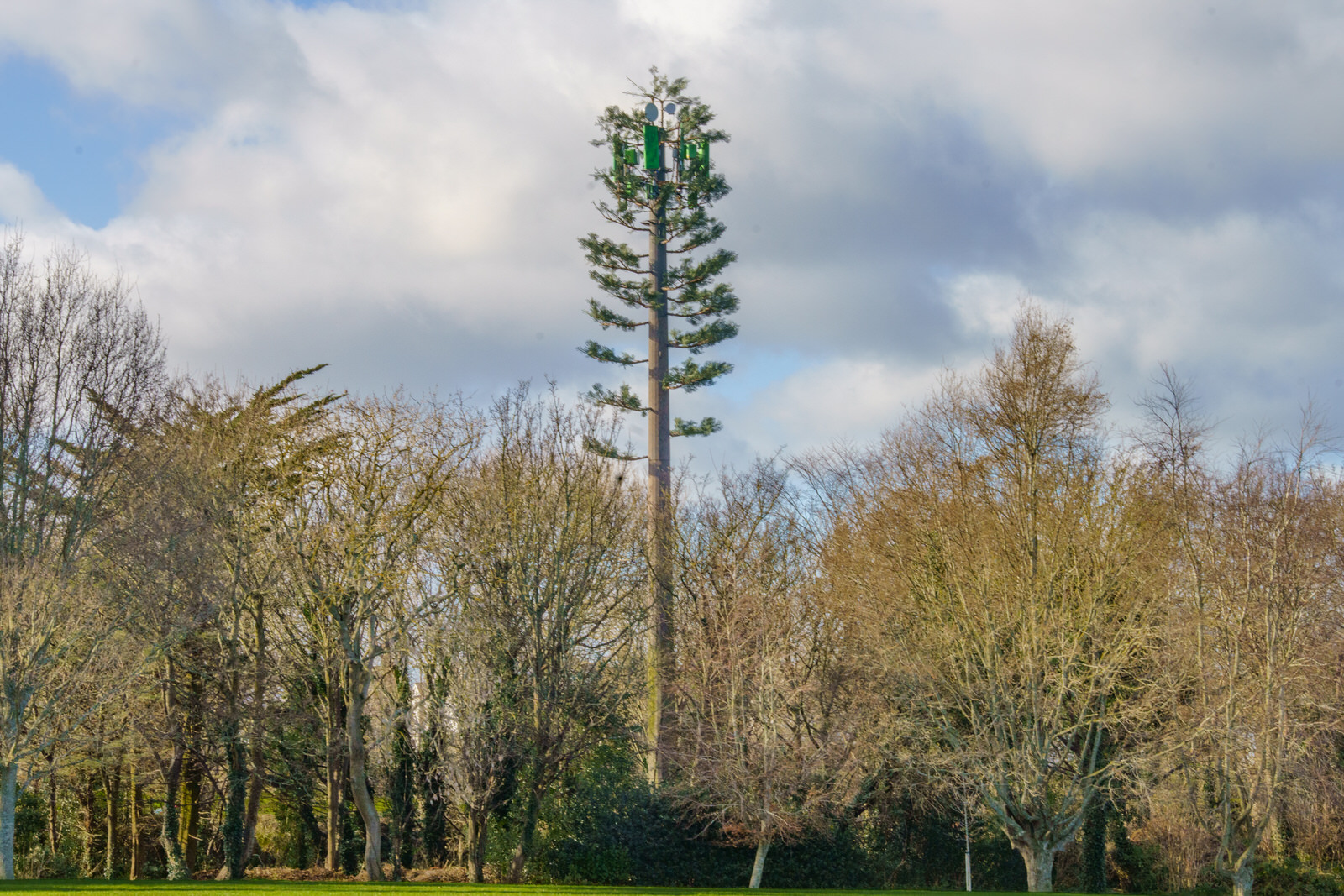
A FAKE FIR TREE AT ST ENDA'S PUBLIC PARK
As I walking in a Southside public park a "weird" tree immediately caught my attention.
Recently I came across the following comment which applied to the USA: "Over the past few decades, as cellphone networks have grown, thousands of antenna towers designed to look vaguely like trees have been built across the United States. Although these towers are intended to camouflage a tower's aesthetic impact on the landscape, they typically do the opposite: most look like what an alien from a treeless planet might create if told to imagine a tree."
A cell site, cell tower, or cellular base station is a cellular-enabled mobile device site where antennas and electronic communications equipment are placed—typically on a radio mast, tower, or other raised structure—to create a cell (or adjacent cells) in a cellular network. The raised structure typically supports antenna and one or more sets of transmitter/receivers transceivers, digital signal processors, control electronics, a GPS receiver for timing (for CDMA2000/IS-95 or GSM systems), primary and backup electrical power sources, and sheltering.
In Global System for Mobile Communications (GSM) networks, the correct term is Base Transceiver Station (BTS), and colloquial synonyms are "mobile phone mast" or "base station". Multiple cellular providers often save money by mounting their antennas on a common shared mast; since separate systems use different frequencies, antennas can be located close together without interfering with each other. Some provider companies operate multiple cellular networks and similarly use colocated base stations for two or more cellular networks, (CDMA2000 or GSM, for example).
Some cities require that cell sites be inconspicuous; they can be blended with the surrounding area or mounted on buildings or advertising towers. Preserved tree-scapes can often hide cell towers inside an artificial or preserved tree. These installations are generally referred to as concealed cell sites or stealth cell sites.
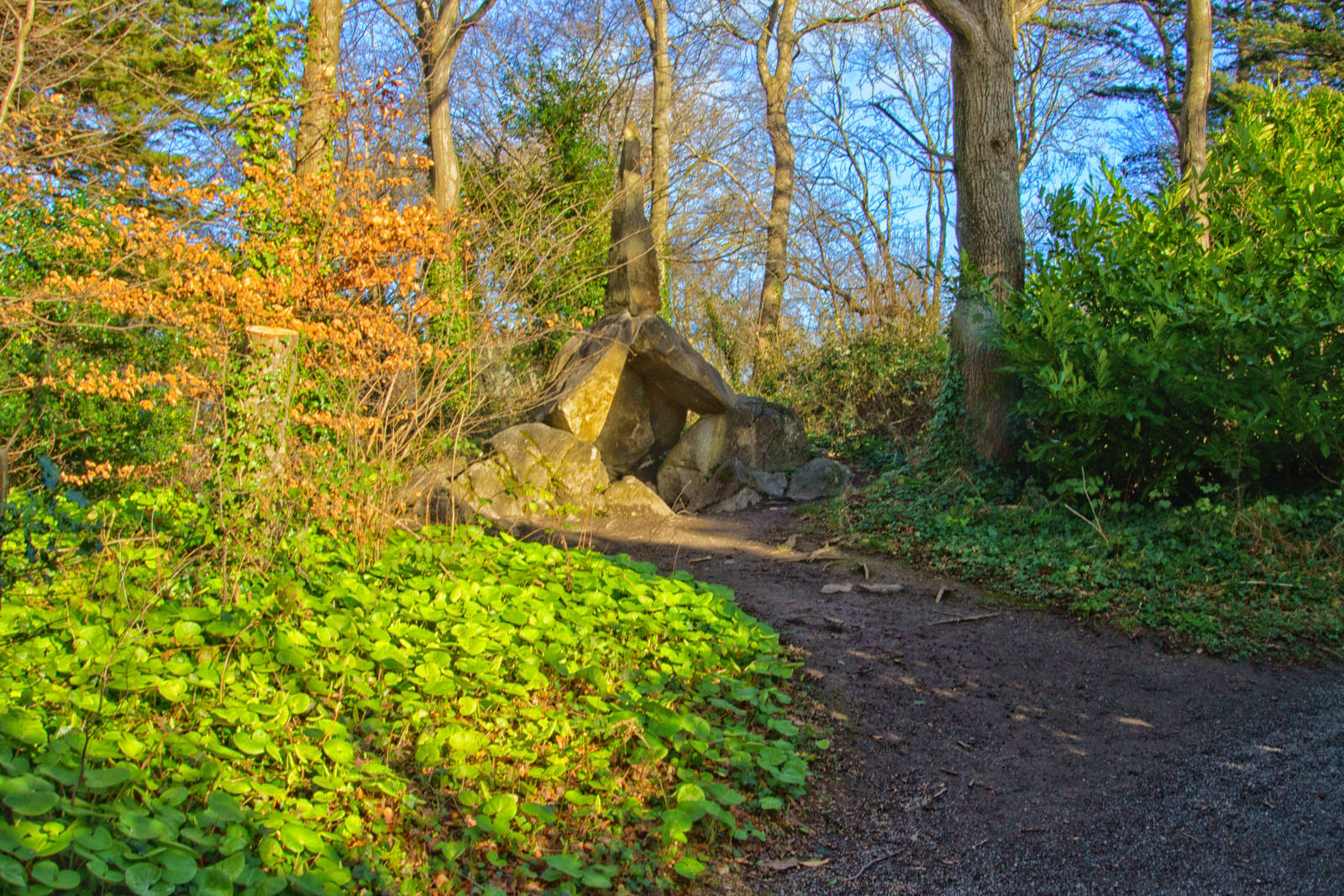
THE CROMLECHIS A FOLLY AT ST ENDA'S PUBLIC PARK
Follies come in all shapes and sizes and the Cromlech is no exception. Following an attack by vandals it had to be deconstructed in the late 1990s and for many years it looked like an unremarkable collection of stones on the ground. With the help of a drawings and photos, the Cromlech was restored to its original glory. Walking by the Cromlech at weekends children can be seen playing around it, posing for photographs and generally enjoying climbing on it.
A cromlech is a megalithic construction made of large stone blocks. The word applies to two different megalithic forms in English, the first being an altar tomb (frequently called a "dolmen"), as William Borlase first denoted in 1769. The second meaning of the name "cromlech" in English refers to large stone circles such as those found among the Carnac stones in Brittany, France.
Unlike in English, the word "cromlech" in many other languages (such as Azerbaijani, Armenian, French, Greek, Indonesian, Italian, and Spanish) exclusively denotes a megalithic stone circle, whereas the word "dolmen" is used to refer to the type of megalithic altar tomb sometimes indicated by the English "cromlech". Also, more recently in English, scholars such as Aubrey Burl use "cromlech" as a synonym for "megalithic stone circle".
THE HERMIT'S CAVELARGER THAN I HAD EXPECTED
The Hermit’s Cave is a much bigger construction than I expected. Described as a large walk in but ‘mind your head’ chamber with room for 4/5 adults standing. The remains of a castellated effect to the roof at the front was restored and stonework repaired.
A few weeks ago I visited St Enda's Park but I did not get the opportunity to visited all the follies located there. Today, 10 February 2022, I visited with the the intention of photographing all the follies that I could locate.
THE SUMMER HOUSEALSO KNOWN AS THE WATCH TOWER
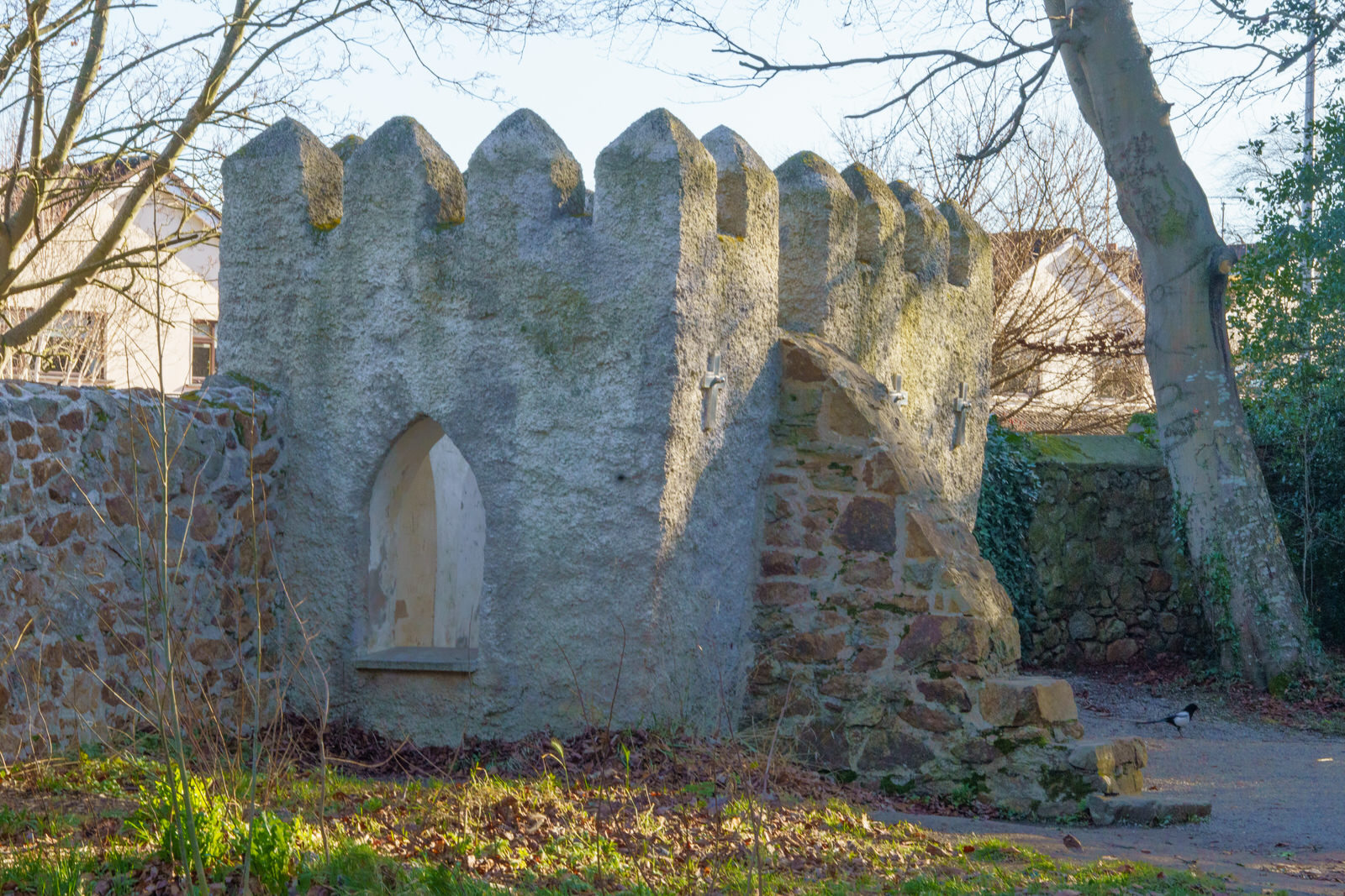
The "Summer House" was Built to look like a small castle or tower, this building originally had a stairs which allowed visitors to go up on its roof and see the impressive views of Dublin city below.
A few weeks ago I visited St Enda's Park but I did not get the opportunity to visited all the follies located there. Today, 10 February 2022, I visited with the the intention of photographing all the follies that I could locate.
Built to look like a small castle or tower, this building originally had a stairs which allowed visitors to go up on its roof and see the impressive views of Dublin city below.
BUSHY PARK ON A SUNNY MORNING10 FEBRUARY 2022
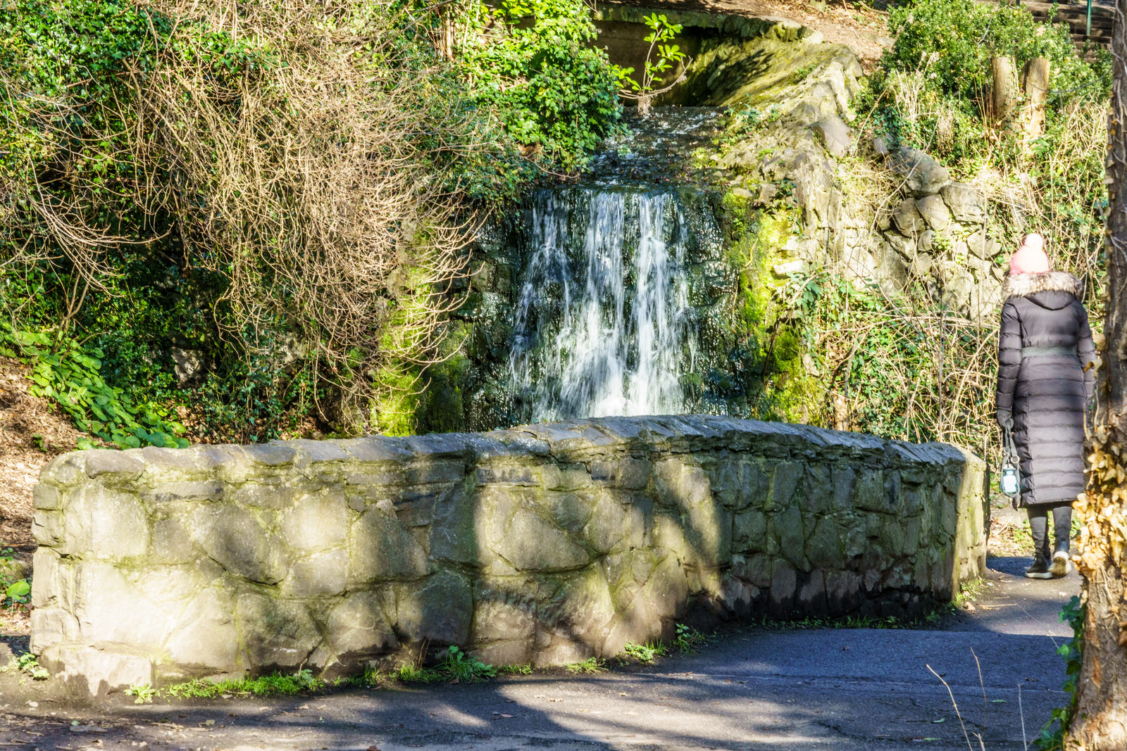
This park is well worth a visit. There is a children's playground, an extensive wooded area, with walks to the banks of the Dodder (with access over a footbridge to the Rathfarnham area), a woodland pond, a duck pond, and a recently reopened kiosk. In front of the duck pond is a high hill, and east of the pond is a starting point for the woodland walk, beside a small cascade. The park is a good place for birdwatching - among the species which may be seen are sparrow hawk, treecreeper and kingfisher.
BLACKHALL PLACETHURSDAY 3 FEBRUARY 2022
Blackhall Place, along the adjoining Blackhall Parade, Blackhall Street, Blackhall Green, and Blackhall Row in Dublin 7 are all named for Sir Thomas Blackhall.
Blackhall Place first appears on maps in 1822. This area of the city was previously known as Oxmanstown Green. The area was originally designed and laid out by Thomas Ivory, who designed the buildings now occupied by the Law Society of Ireland. The original street did not meet the river, and was extended to meet Benburb Street in 1886.
A large amount of the original Georgian houses have been demolished, with a small number of surviving examples. On the corner of Blackhall Place and Hendrick Street, there is a former Methodist chapel, known as the Gravel Walk Methodist Church. This was rebuilt in 1841.
The area around Blackhall Place, and the construction of the James Joyce Bridge was part of the 1996 Historic Area Rejuvenation Project.
In the late 19th century, the Dublin City Council developed a plot to create a new street as well as renovating existing tenements located in Blackhall Place. This plot involved the local finance and leases committee selling the property to the Artisans' Dwellings Committee. The site in question was Blackhall Place, Blackhall Street, Blackhall Parade and North King Street.
Today I used my new Voigtländer 65mm lens.
Voigtländer was founded in Vienna, Archduchy of Austria, in 1797, by Johann Christoph Voigtländer [de]. Voigtländer produced mathematical instruments, precision mechanical products, optical instruments, including optical measuring instruments and opera glasses, and is the oldest name in cameras.
DONORE AVENUESOUTH CIRCULAR TO CORK STREET
Even though it connects the South Circular to Cork Street, two areas that I visit at regular intervals, this was only my third time to visit Donore Avenue and there is still a lot of urban depression and decay to be seen especially towards the Cork Street end.
The “Margaret Kennedy Road and Court” development now provides 54 new homes consisting of 38 houses and 16 apartments and is the first phase of the overall Framework Development Plan for the regeneration of St Teresa’s Gardens.
Once one of the city’s largest council flat complexes, St Teresa’s Gardens, on Donore Avenue, was earmarked for regeneration in 2005, but the plan was scrapped in 2009 after the collapse of the property market.
Recently it was announced that plans to build a 22-storey tower have been scaled back following local opposition to the size and height of the planned development. The redesign of the development at the site of the St Teresa’s Gardens flat complex will result in about about one hundred fewer homes.
According to reports in local media the total number of homes expected to be delivered has been reduced from 700 to about 540.
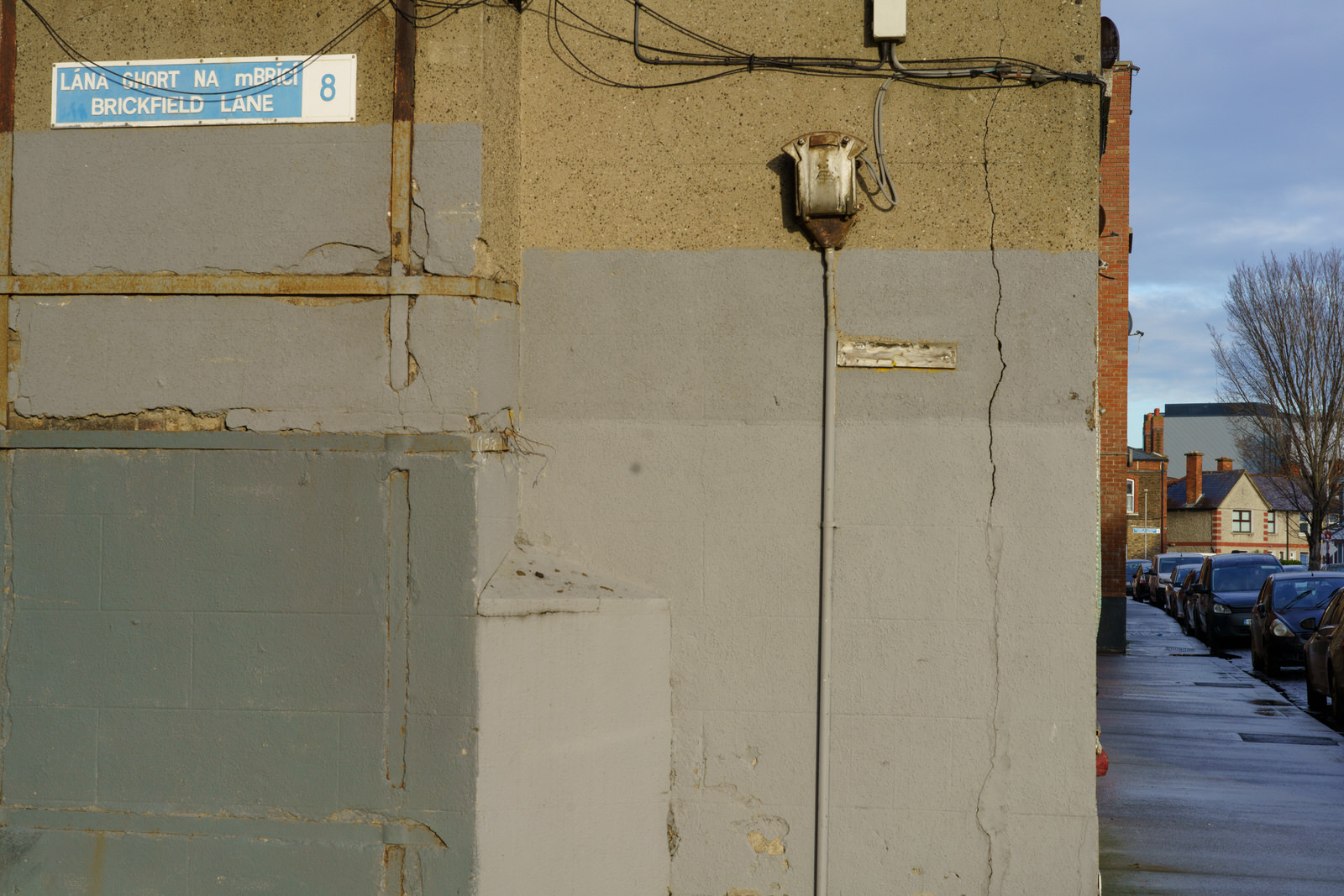
SOUTH BROWN STREETAND BRICKFIELD LANE
The Cork Street Fever Hospital was built on a site, known as "Widow Donnelly’s Orchard" , The site was bound by Love Lane (now Donore Avenue) to the west and Brickfield Lane to the east.
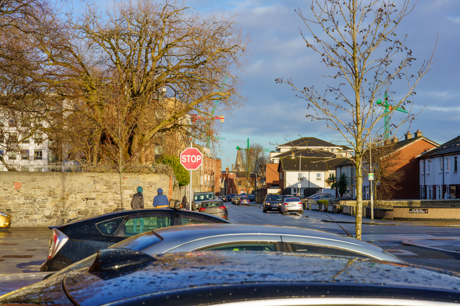
The Mercy Family Centre is located in an old school building in South Brown Street, opposite Saint Theresa's Gardens, an area where isolation, poverty and drugs are common. The Centre provides direct innovative programmes that help children, families and individuals to work together to be their very best.They are committed to providing the highest quality childcare, early education, adult education and social service solutions.
The original hospital, which was located in a poor densely populated part of the Liberties but with large grounds, was designed by Samuel Johnston and built by Henry, Mullins & McMahon. It consisted of two parallel brick buildings, 80 by 30 feet (24.4 by 9.1 m), three stories high, connected by a colonnade of 116 feet (35 m). The eastern range was used for fever, the western for convalescent patients, in order to keep the patients separated. It opened on 14 May 1804. The objectives of the hospital were to care for the diseased in the neighbourhood and prevent the spread of infection in the homes of the poor.
An additional building, much larger than any of the former, was added in 1814, by which the hospital was rendered capable of containing 240 beds.
The hospital initially accepted fever patients from five parishes in the Liberties. A year after its foundation the catchment area was extended to the district south of the River Liffey as far as the South Circular Road. By 1810 this was extended to the whole of the city of Dublin, and to all classes of applicants, which increased the financial pressure on the hospital. In the year 1812 over 2,200 patients were admitted. The hospital did succeed in checking the spread of disease, but the worsening unemployment in the Liberties following the Act of Union and occasional epidemics, such as Scarlet fever, pushed up the mortality rate for the first few years of its existence. However, by 1815 the mortality rate in the hospital had declined to 1 in 20 (from 1 in 11 in 1804).
Dublin had six typhus epidemics in the 18th century – it was not at the time known that typhus was caused by a louse-born organism, which flourished in unhygienic conditions. The hospital was extended between 1817 and 1819 to help cope with a national epidemic. Three thousand cases were admitted to the hospital in one month in 1818.
Another typhus epidemic hit Dublin in 1826. In the hospital, 10,000 people were treated for the infection. It was so overcrowded that tents were erected in the grounds (fortunately, over 4 acres (1.6 ha) acres in extent), and these provided 400 extra beds. In 1832 Dublin was ravaged by a cholera epidemic. Despite the best efforts of all concerned, thousands of victims died and were hastily buried in nearby Bully's Acre.
Typhus came again at the time of the Irish Famine in the late 1840s. During 1847 nearly 12,000 cases applied during a period of about ten months, although "amongst the poor at their own houses, .. vast numbers remained there, who either could not be accommodated in hospital, or who never thought of applying". Typhus returned in the 1880s, when Gerard Manley Hopkins died of the disease in Dublin.
In 1903 the James Weir Home for Nurses was erected on the opposite side of the street to provide accommodation for up to 50 fever nurses working at the Fever Hospital.
After services were transferred to the Cherry Orchard Hospital in Ballyfermot, the old Cork Street Fever Hospital closed in November 1953. The old hospital was renamed Brú Chaoimhín and converted into a nursing home.
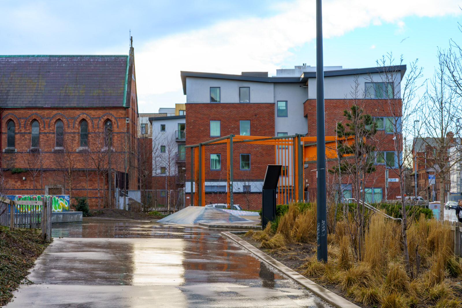
WEAVER PARK AND NEARBYCORK STREET
The park, which officially opened September 2017, features a playground and a skatepark as well as green open areas for multifunctional use. The park is part of Dublin City Council’s Greening Strategy for the Liberties, as that area of Dublin has a significantly lower percentage of green spaces per person compared to people who live in other areas of Dublin.
The Dublin City Library and Archive holds a beautiful image of the old Weaver’s Hall on The Coombe Dublin, a building still fondly remembered by older citizens in the area. The image shows a dignified guild hall, with a statue of King George II by Van Nost holding shuttles and other implements used in the weaving process set in an alcove above the main entrance.
Although the Weaver’s Hall is long gone, there is still a lot of evidence of this once major industry that existed in this area over a 1,000 year timespan. The most obvious are various placenames. Weaver’s Square off Cork Street, and the adjacent Ormond Street commemorated both the Huguenot weavers who settled here in great numbers from the late 1600’s and the man who invited them over, the Duke of Ormond. Nearby Newmarket was constructed in the 1670’s by the Earl of Meath in response to this rapidly growing industry, to facilitate trade in wool, hides and flax and also the finished products. The Earl also included space for his own market, and this added to the unique shape and layout of Newmarket, still with us today.
Earlier evidence of weaving has also been found in recent archaeological excavations prior to new developments in The Liberties. Items from the Hiberno-Norse era, such as whorls, spindles, weights and bone needles have been found, together with evidence of a thriving cap and scarf/shawl industry in both wool and dyed, watered silk - an indication of ‘high status’ - being found.
The imposition of tariffs and taxes on the Dublin weavers eventually caused the slow decline of this tradition, but not before it re-invented itself into other related industries. The manufacture of poplin gave way to a significant upholstery industry, providing seating, padding and also lace for carriages, the mode of transport at the time. Later, with the coming of the motor-car, a thriving industry arose specialising in ladies and gents motor scarfs and mufflers. Frys of Cork Street also announced that it was possible to get the latest in bow-ties to finish the ensemble!
Today, there is a renewed interest in this oldest of trades, with the Botany Weavers – the one remaining company near Dolphin’s Barn who operate from premises that once housed the City Woollen Mills and who are key suppliers to Aer Lingus and City Jet, recently announcing an expansion to its business, thus continuing a tradition of 1000 years of weaving in this area.
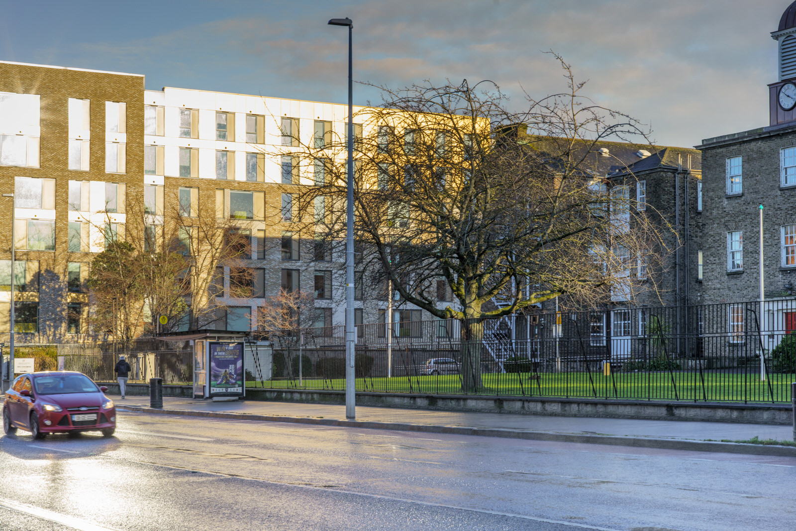
CORK STREETIN THE COOMBE - FEBRUARY 2022
The sunlight was a bit overpowering so I had difficulty using my day old Voigtlander 65mm lens as it is a manual lens.
The street shown in my photographs was named after the first Earl of Cork and once formed part of the ancient highway "An Slighe Dála" connecting Dublin with the west of Ireland. On old maps it was described as "The Highway to Dolfynesberne" (i.e., Dolphin's Barn).
The street was once a centre of fine wool and silk hand-loom weaving. The woollen industry was killed off around 1700 by the English government, who wanted to keep the wool monopoly in England, although a minor revival was started around 1775. Despite problems, silk spinning and the manufacture of poplin, supported by the Royal Dublin Society, continued into the 19th century.
The Tenter House was erected in 1815 in this street, financed by Thomas Pleasants. Before this the poor weavers of the Liberties had either to suspend work in rainy weather or use the alehouse fire and thus were (as Wright expresses it) "exposed to great distress, and not unfrequently reduced either to the hospital or the gaol." The Tenter House was a brick building 275 feet long, 3 stories high, and with a central cupola. It had a form of central heating powered by four furnaces, and provided a place for weavers to stretch their material in bad weather.
In 1861 a Carmelite priest bought the Tenter House and opened it as a refuge for the homeless. He ran the hostel for ten years until 1871 when the Sisters of Mercy came to Cork Street. In 1873 they built a convent and in 1874 a primary school, which closed down in 1989.
The Cork Street Fever Hospital (also known as the House of Recovery) was a hospital that opened in Cork Street on 14 May 1804. The hospital was extended in 1817-1819 to help cope with a national typhus epidemic. In 1953 the Cherry Orchard Hospital in Ballyfermot replaced the old Cork Street hospital, which was renamed Brú Chaoimhín and became a nursing home.
Across the road from the hospital is the James Weir Home for nurses, built in 1903. The site had once been a Quaker burial ground.
In 1932 the Maryland housing development off Cork Street was constructed by Dublin Corporation. 1932 was a Marian year, hence the name Maryland.
The street was totally reconstructed towards the end of the 20th century. It is now a mostly residential area.
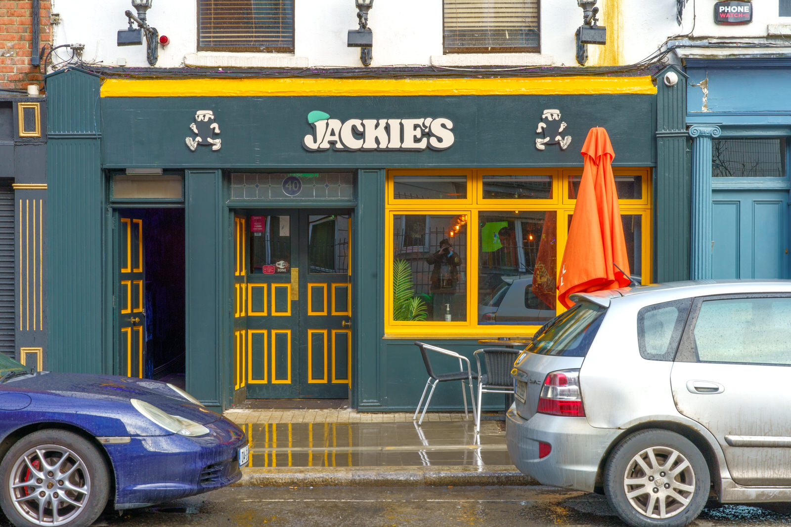
JACKIE'S BAR 40 FRANCIS STREET
90's inspired boozer now open on 40 Francis St, Dublin 8. I don't know when this actually opened its doors to the public but I do not remember seeing it before today.
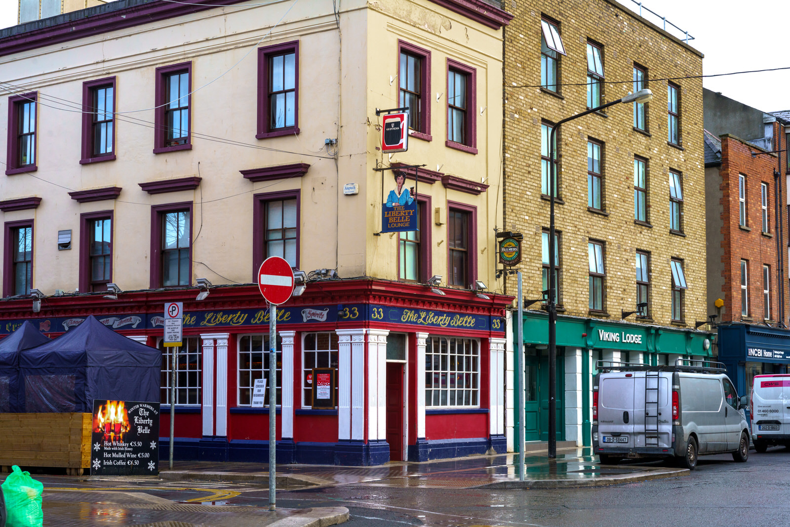
THE LIBERTY BELLE33 FRANCIS STREET
There is a sculpture named the "liberty Bell" in a nearby public park and the pub is located at 33 Francis Street which is in an area known as "The Liberties".
JAMES JOYCE BRIDGEULYSSES WAS PUBLISHED 2 FEBRUARY 1922
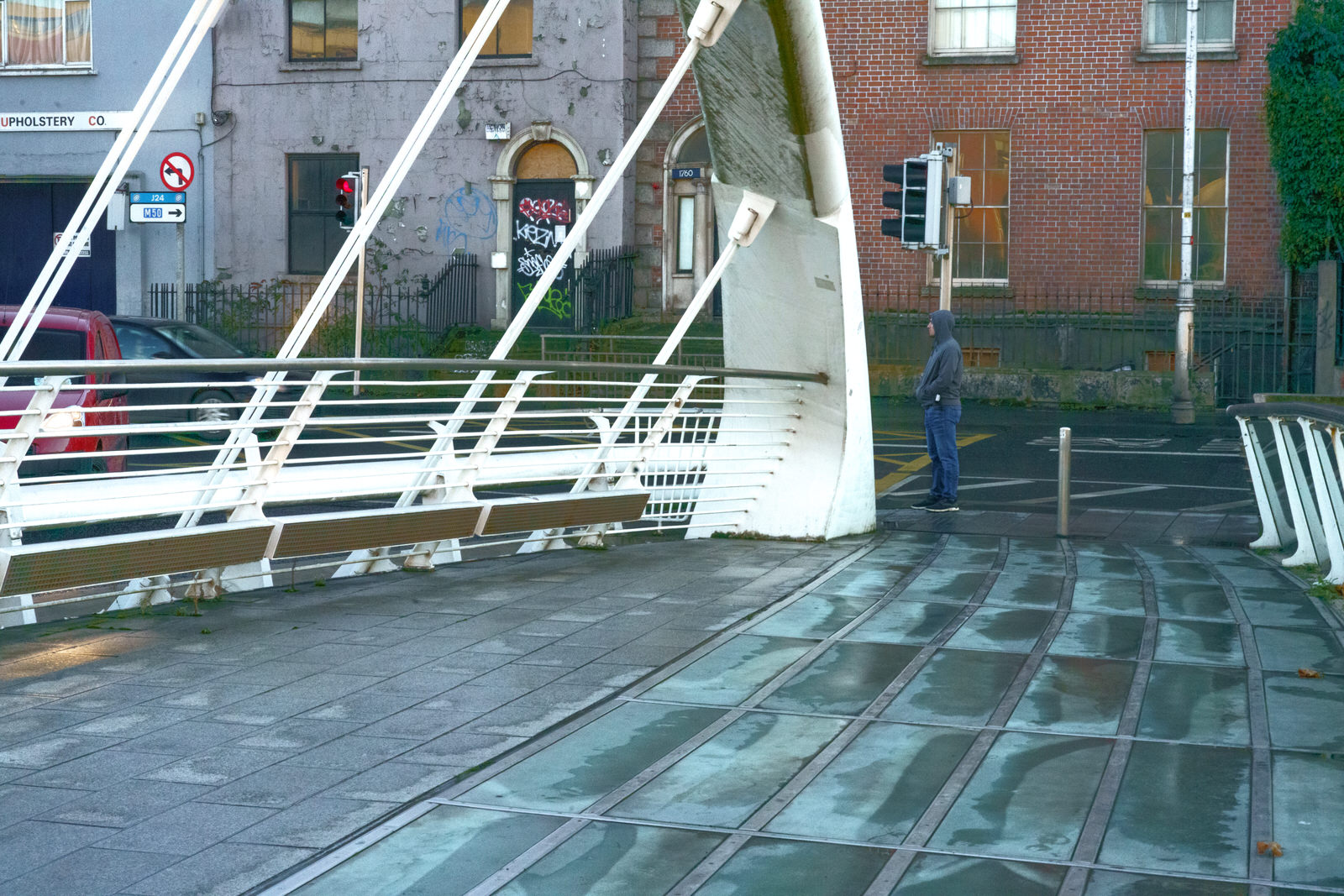
The James Joyce Bridge is a road bridge spanning the River Liffey in Dublin, Ireland, joining the south quays to Blackhall Place on the north side.
Designed by Spanish architect Santiago Calatrava, it is a single-span structural steel design, 40 m (131 ft) long. The deck is supported from two outward angled arches, the silhouette of which is sometimes compared to the shape of an open book.
The bridge was built by Irishenco Construction, using pre-fabricated steel sections from Harland and Wolff of Belfast.
The bridge is named for the famous Dublin author James Joyce, and was opened on 16 June 2003 (Bloomsday). Joyce's short story "The Dead" is set in Number 15 Usher's Island, the house facing the bridge on the south side.
In the spring of 1921, Paris bookseller Sylvia Beach boasted about her plans to publish a novel she deemed a masterpiece that would be "ranked among the classics in English literature".
On 2 February 1922, Beach published the first book edition of Ulysses, just in time for Joyce's 40th birthday.
SUNNY BUT VERY COLD DAYTU CAMPUS GRANGEGORMAN
Technological University Dublin or TU Dublin is Ireland's first technological university, established on 1 January 2019, and with a history stretching back to 1887 through the amalgamated Dublin Institute of Technology which progressed from the first technical education institution in Ireland, the City of Dublin Technical Schools. It is the second-largest third-level institution in Ireland, with a student population of 28,500.
The university was formed by the amalgamation of three existing institutes of technology in the Dublin area – Dublin Institute of Technology, Institute of Technology, Blanchardstown, and Institute of Technology, Tallaght, taking over all functions and operations of these institutions. It is the eighth university in Ireland, and the fourth in the Dublin Region. The university asserts an entrepreneurial ethos and industry-focused approach, with extensive collaboration with industry for research and teaching. The flagship campus is located within Grangegorman, Dublin, with two other long-term campuses, in Tallaght and Blanchardstown, and remaining legacy sites at Bolton Street and Aungier Street.
TU Dublin has approximately 3,500 staff. Professor David FitzPatrick is the inaugural president, a role in which he serves as of 2021.
GRANGEGORMAN UNIVERSITY CAMPUSINCLUDING GRANGEGORMAN AND BROADSTONE AREAS
The current development phase at Grangegorman saw the East Quad open in late 2020. The buildings, when fully operational, will accommodate 10,000 students. Further to this, three existing buildings have been significantly upgraded and refurbished to offer a range of facilities and services to both students and staff - Lower House, Rathdown House, and Park House.
Grangegorman has beautifully restored a historic part of Dublin City. In keeping with expected and demanded conservation efforts, TU Dublin is committed to the promotion of sustainable modes of transport. The Campus is fully pedestrianised and all are encouraged to use public transport to access the campus.
URBAN EXPRESSION PHOTOGRAPHED 3 FEBRUARY 2022
QUICK VISIT TO STONEYBATTERTHURSDAY 3 FEBRUARY 2022
Apart from the striking artisan dwellings, the area is also known for the prominent Viking street names. For example, there is Viking Road, Olaf Road, Thor Place, Sitric Road, Norseman Place, Ard Ri Road, Malachi Road, Ostman Place, Ivar Street, Sigurd Road and Harold Road. At the time of the Norman invasion, the Vikings, Ostmen or Austmenn (men of the East) as they called themselves, were exiled to the north of the Liffey where they founded the hamlet of Ostmenstown later to become Oxmantown.
Today I used my new Voigtländer 65mm lens.
Voigtländer was founded in Vienna, Archduchy of Austria, in 1797, by Johann Christoph Voigtländer [de]. Voigtländer produced mathematical instruments, precision mechanical products, optical instruments, including optical measuring instruments and opera glasses, and is the oldest name in cameras.
MURAL BY CHRIS JUDGE 1 BEN EDAIR ROAD IN STONEYBATTER
On flank walls of 1 Ben Edair Road and 21 Malachi Road by Chris Judge.
Since 2011 Chris has written and illustrated over 35 children's books, many of which are in collaboration with authors like Roddy Doyle, David O'Doherty and Eoin Colfer. His first book, The Lonely Beast won the Specsavers Irish Children's Book of the Year 2011 in the Bord Gáis Energy Irish Book Awards.
Chris also creates large-scale artworks, most notably three large mosaics in collaboration with Triskill Design for Stanhope Street School in Dublin, Scoil Bhride in Kildare and Mountrath CS.
Commercial DisclosurePLEASE NOTE THAT LINKS BELOW MAY REDIRECT YOU TO THE AMAZON LOCATION MOST LIKELY TO SHIP TO YOUR ADDRESS
You will find links to buy products from Amazon, Google and other partners. If you click on these links, you’ll find that the URL includes a small extra piece of text which identifies that the click came from my websites. This text is an affiliate code, and it means that I get a small percentage of the money you spend if you choose to buy that product, or, in some cases, other products from the site soon after. These affiliate links help pay the costs of producing my websites and ensure that the content is free to you.

