• Skip to main content

HEADLESS SOUTH OF THE RIVER

STREET PHOTOGRAPHY

William Murphy

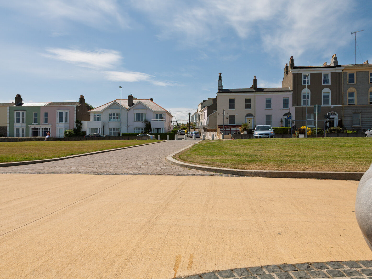
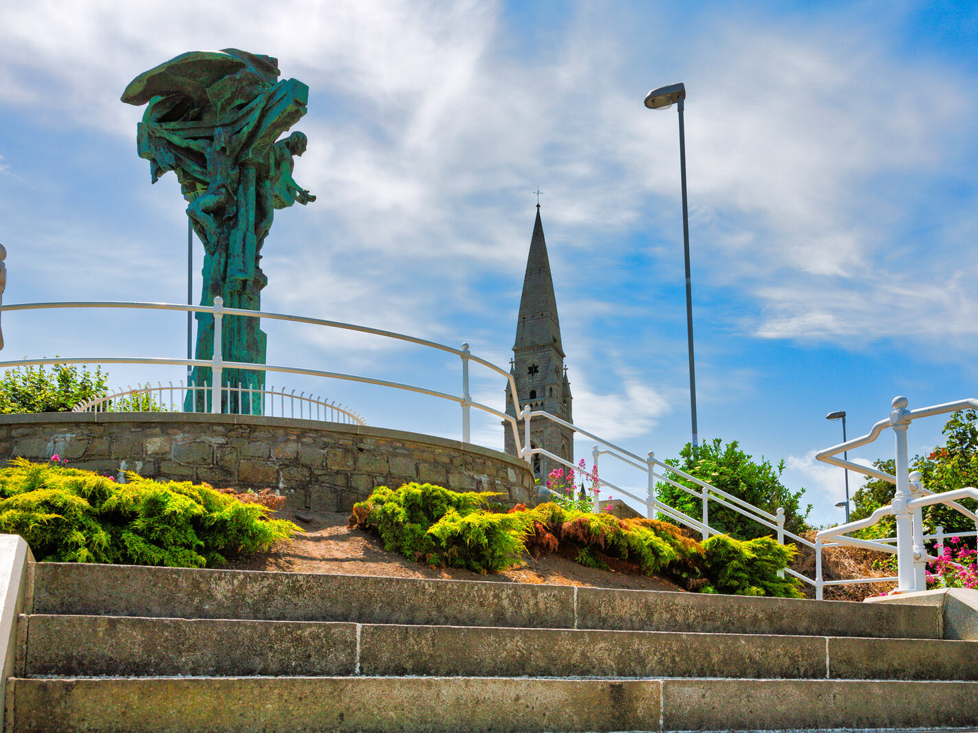
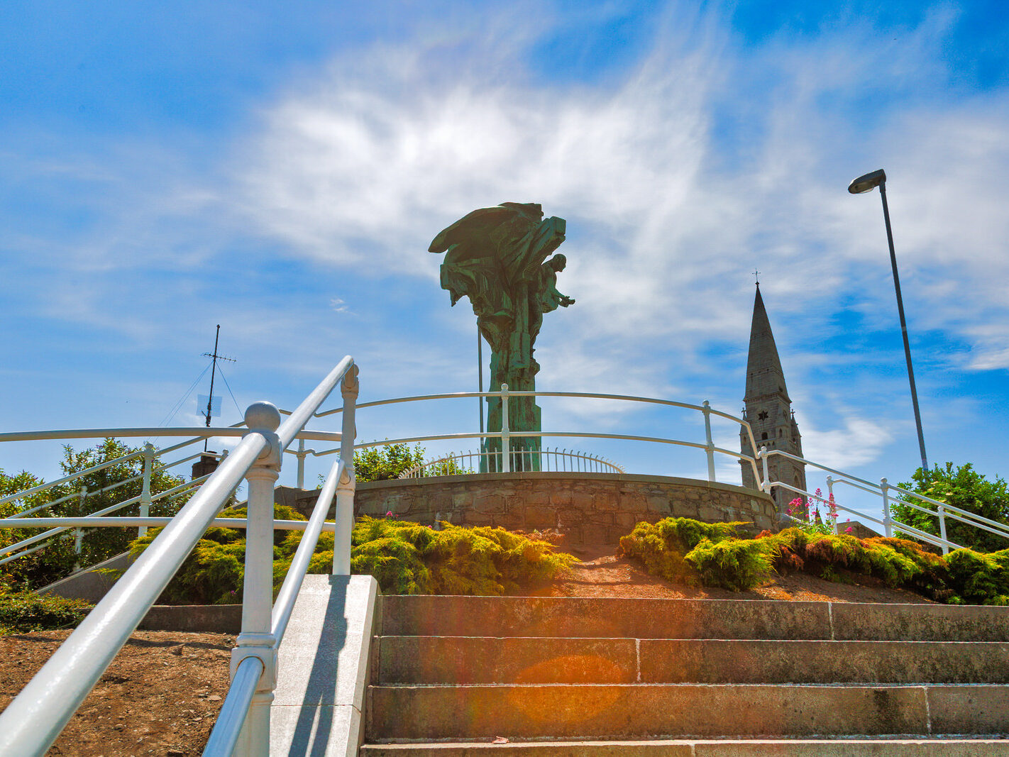
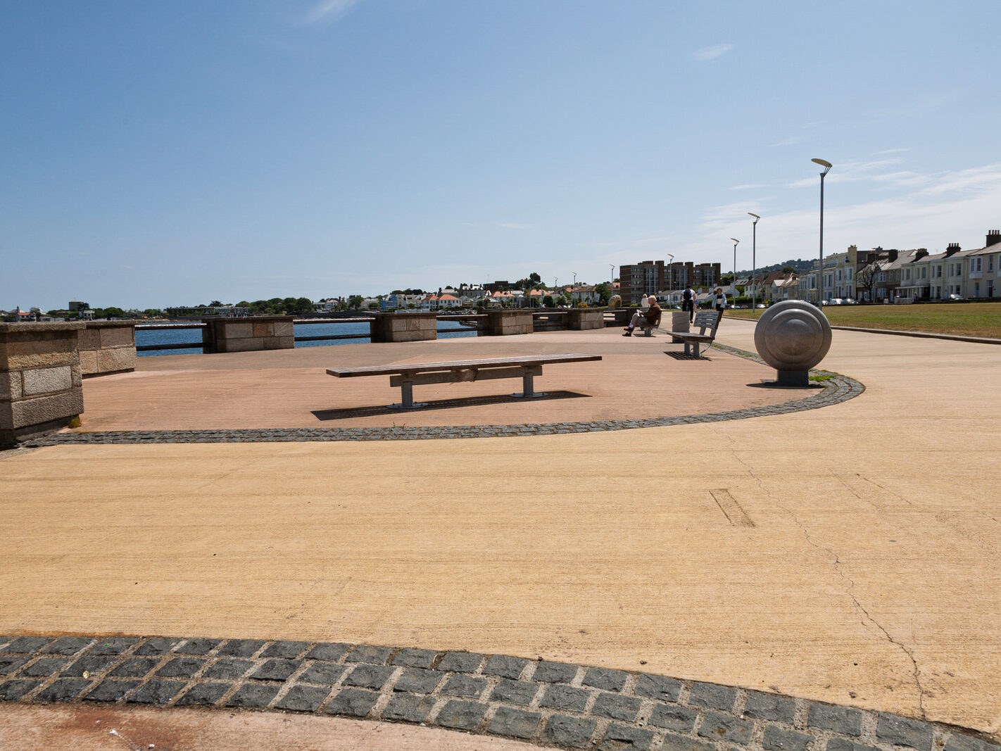
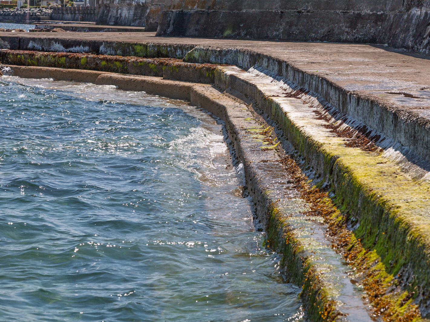
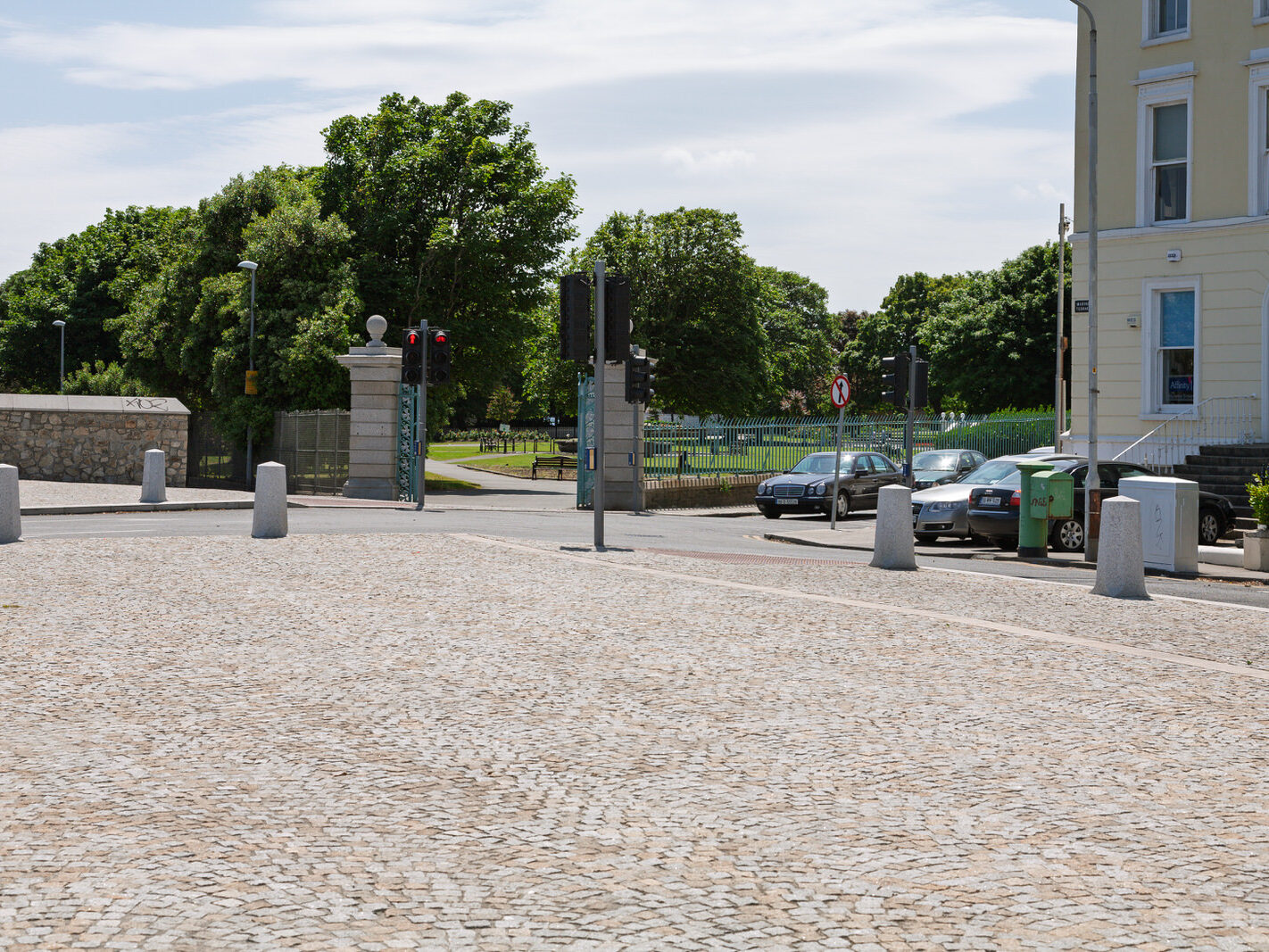
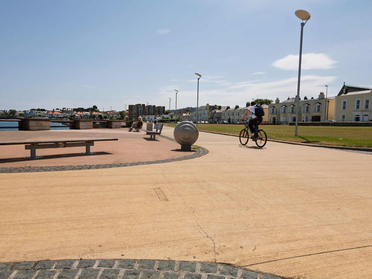
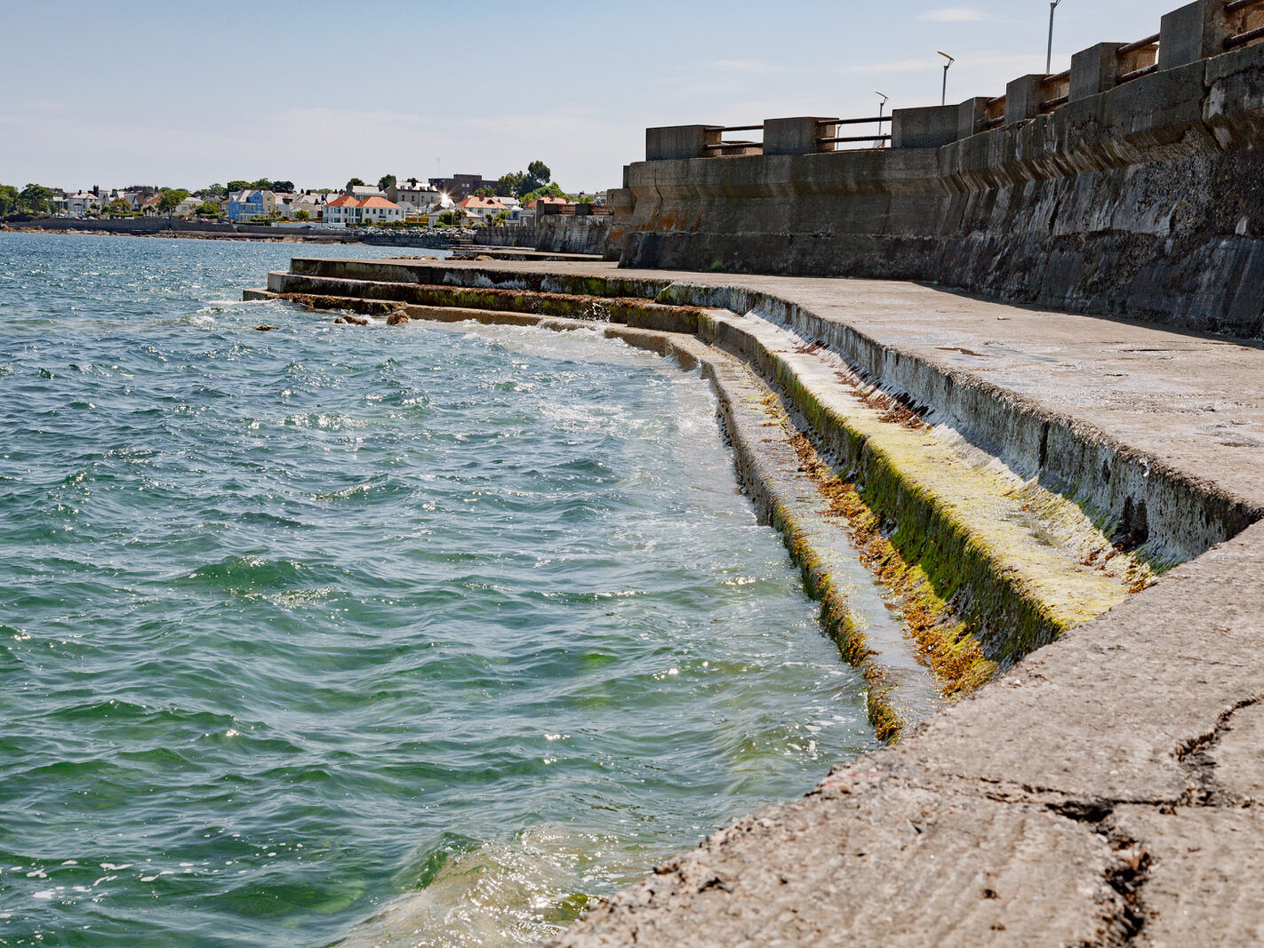
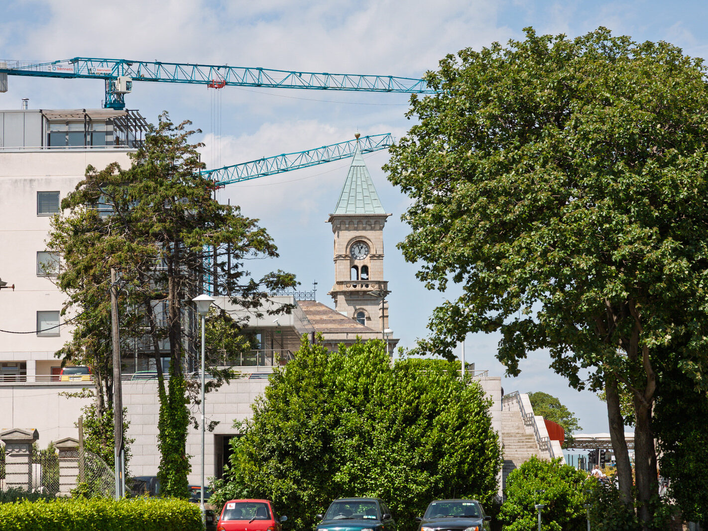
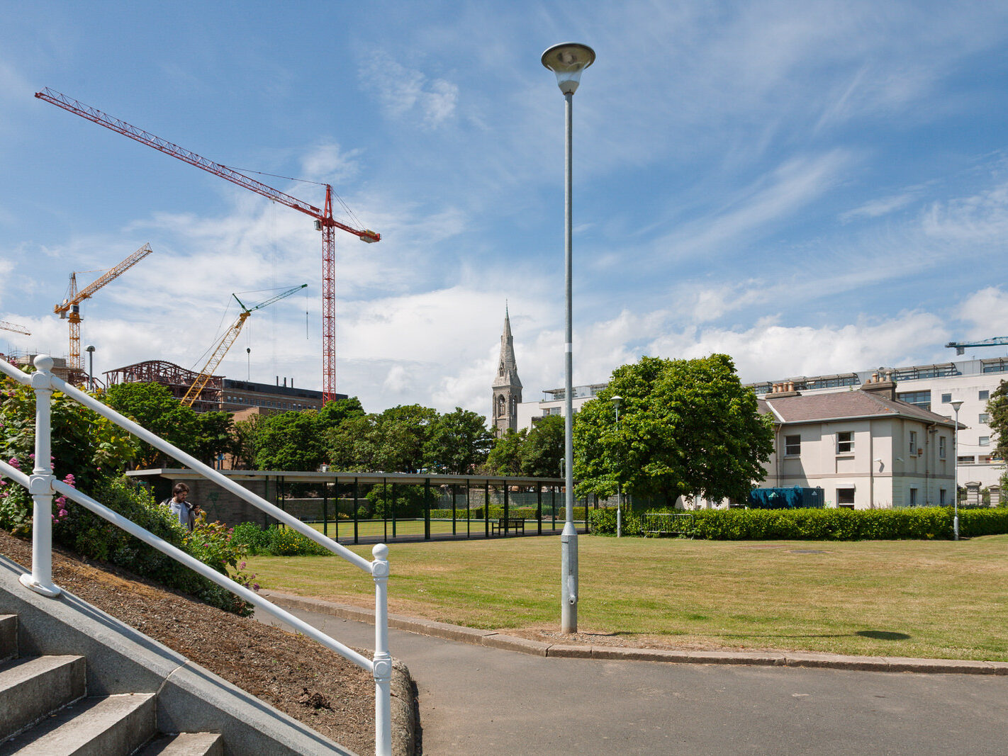
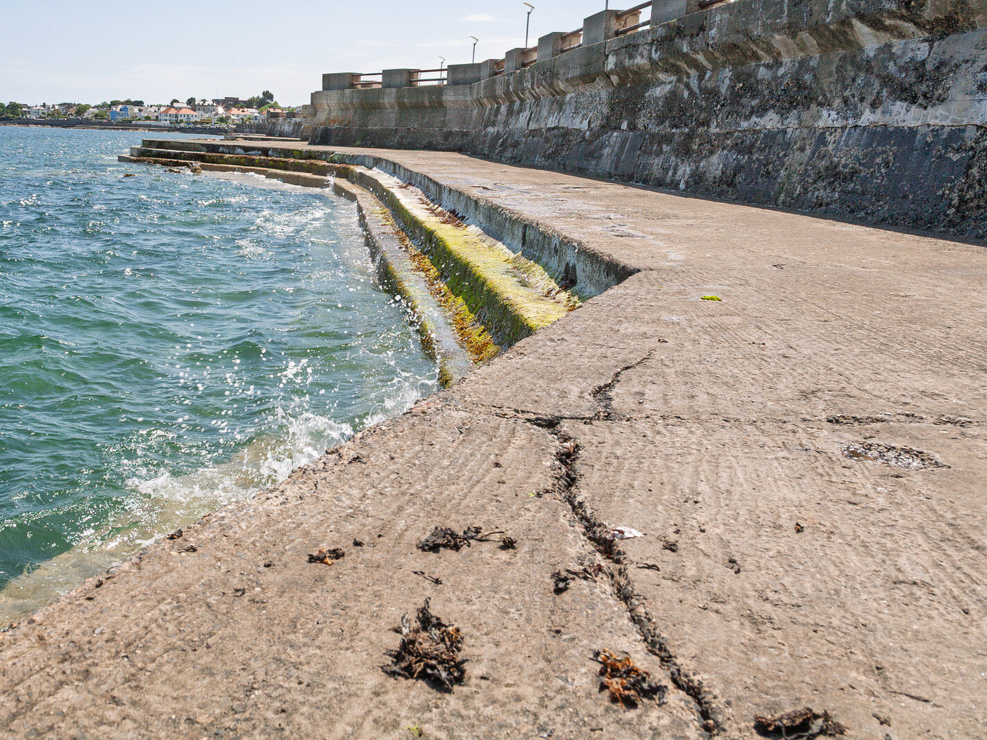
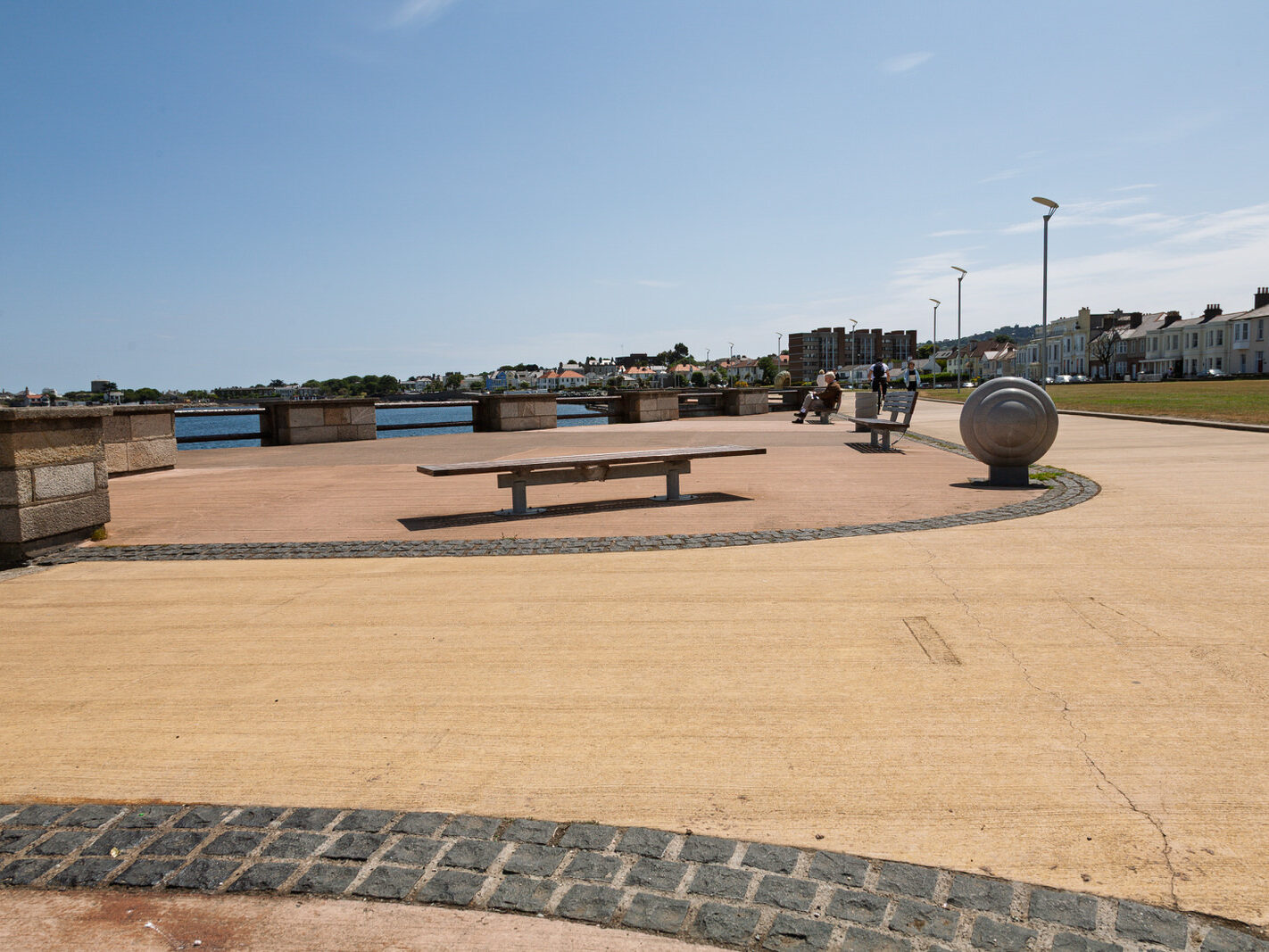
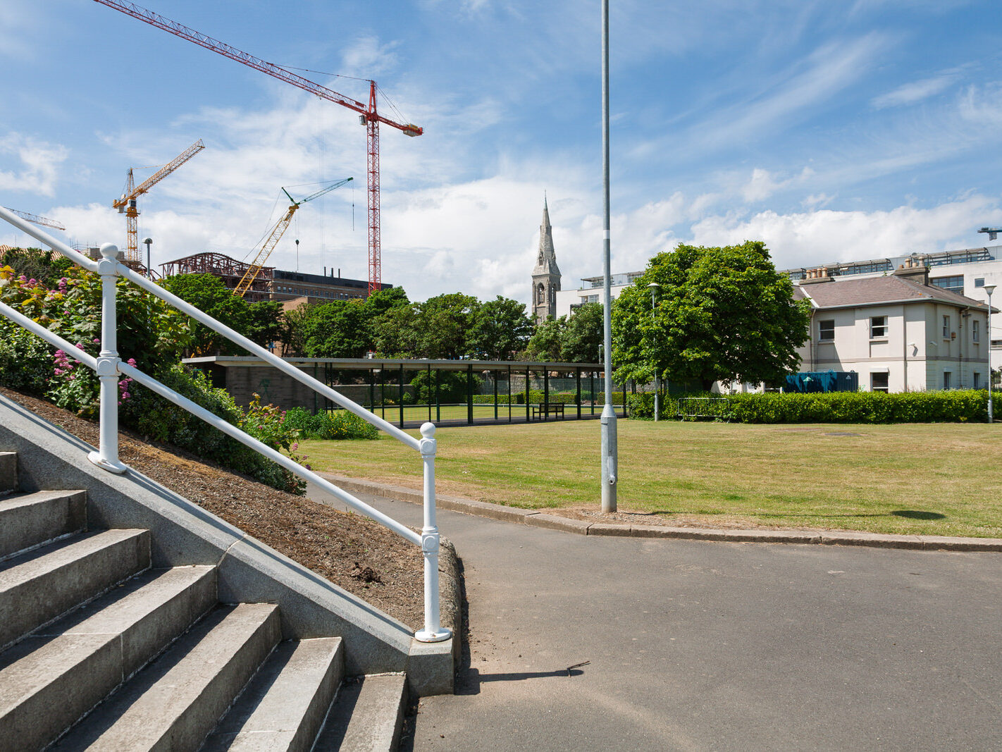
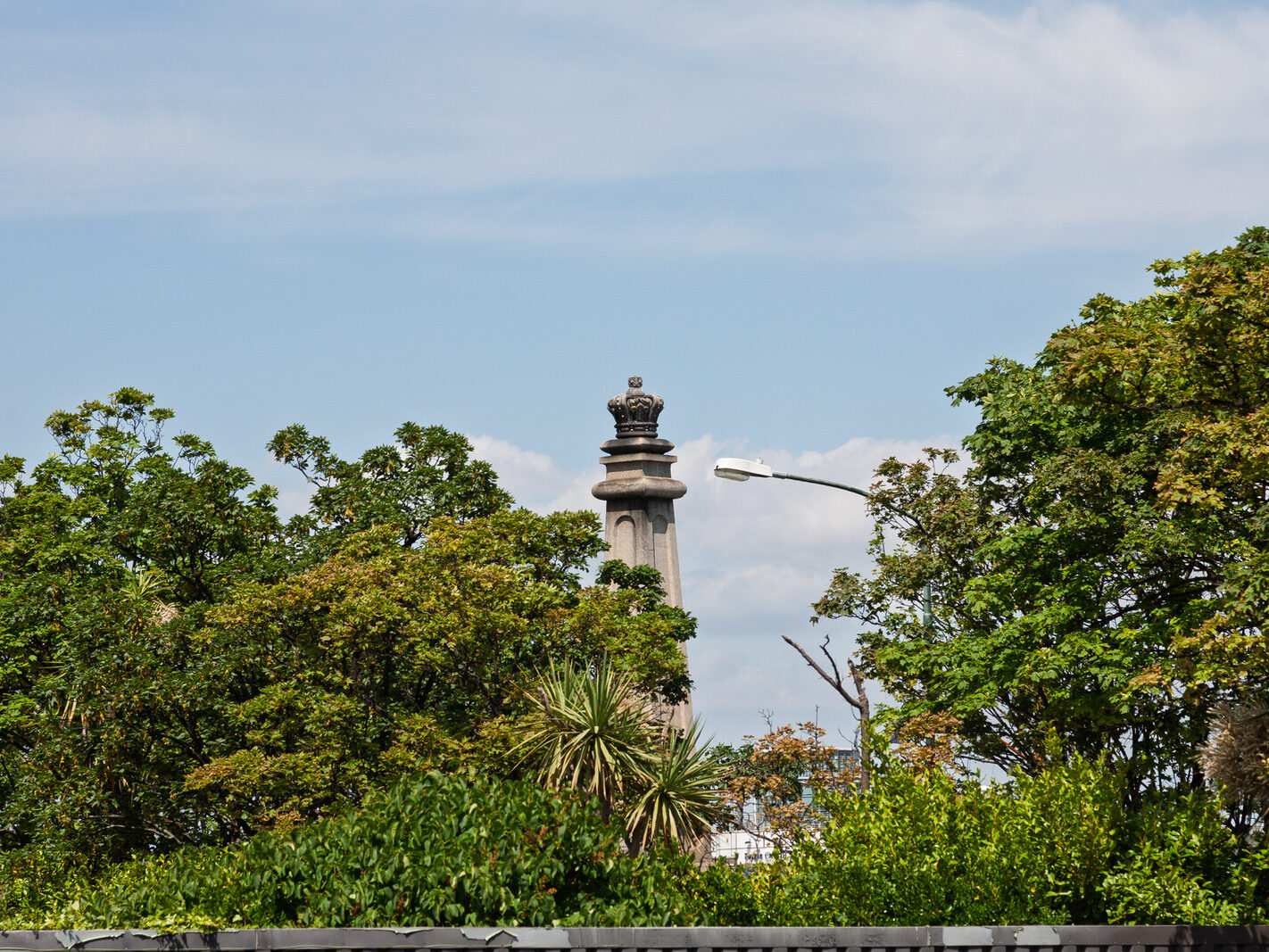
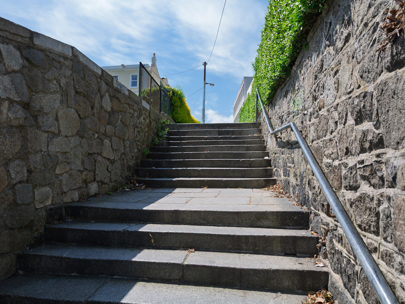
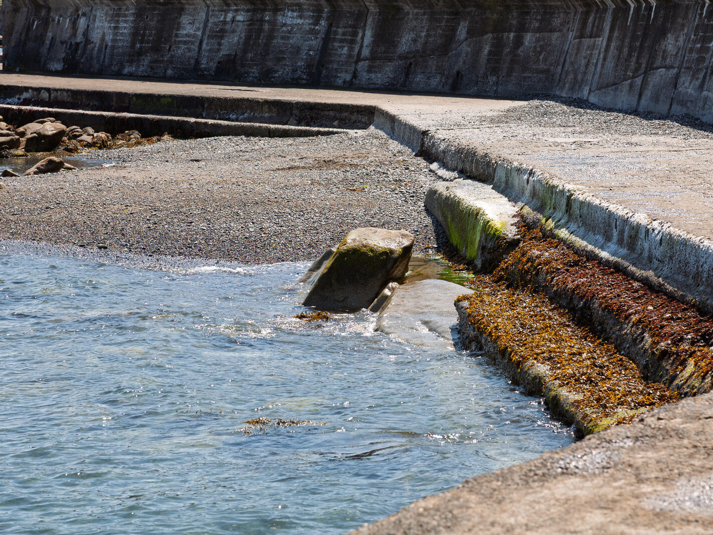
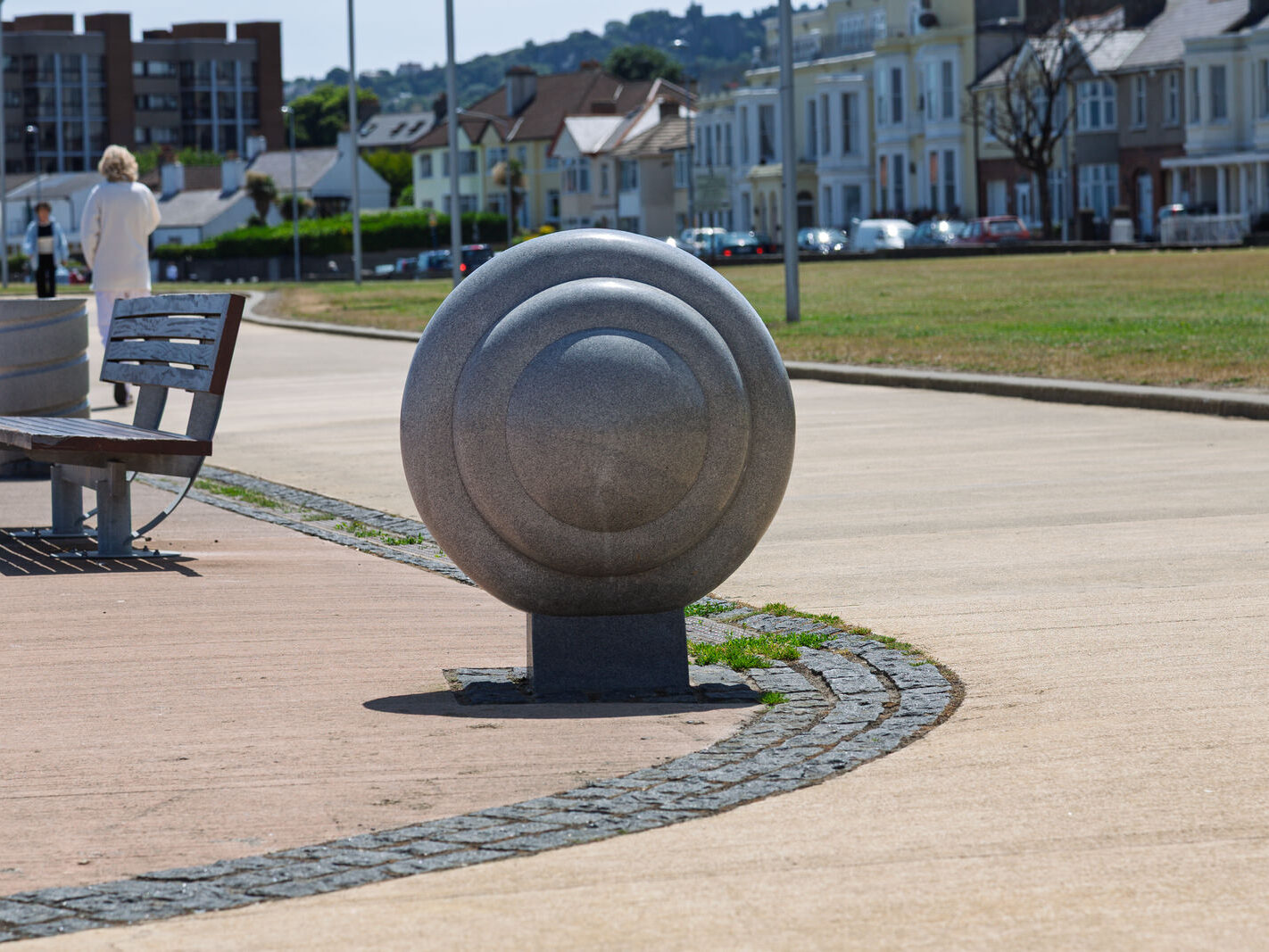
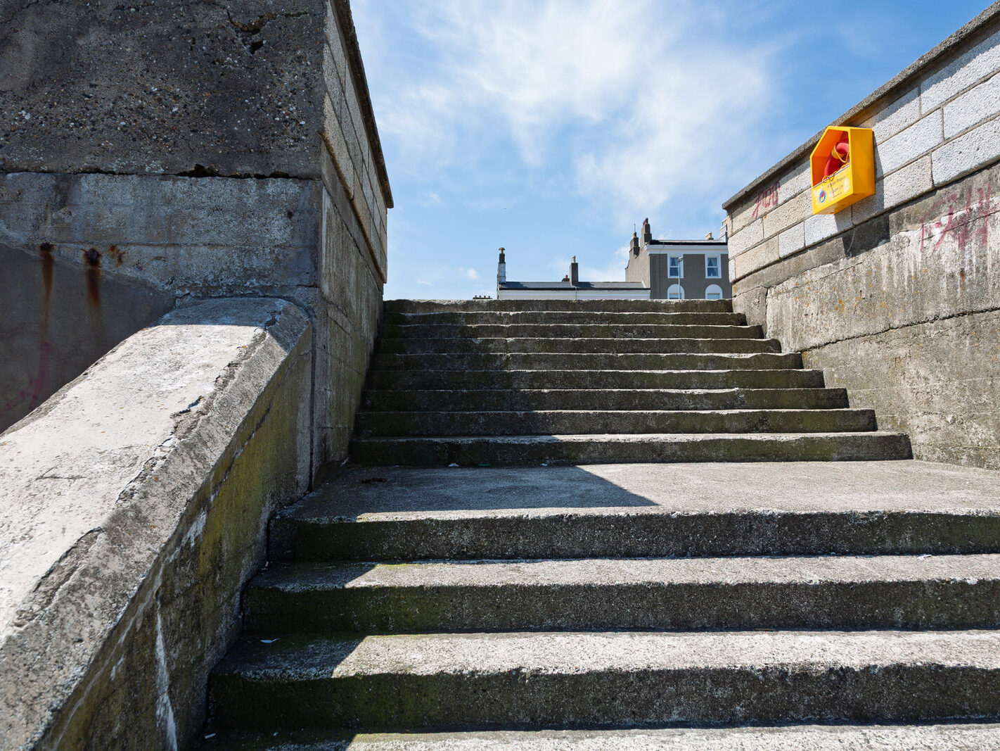
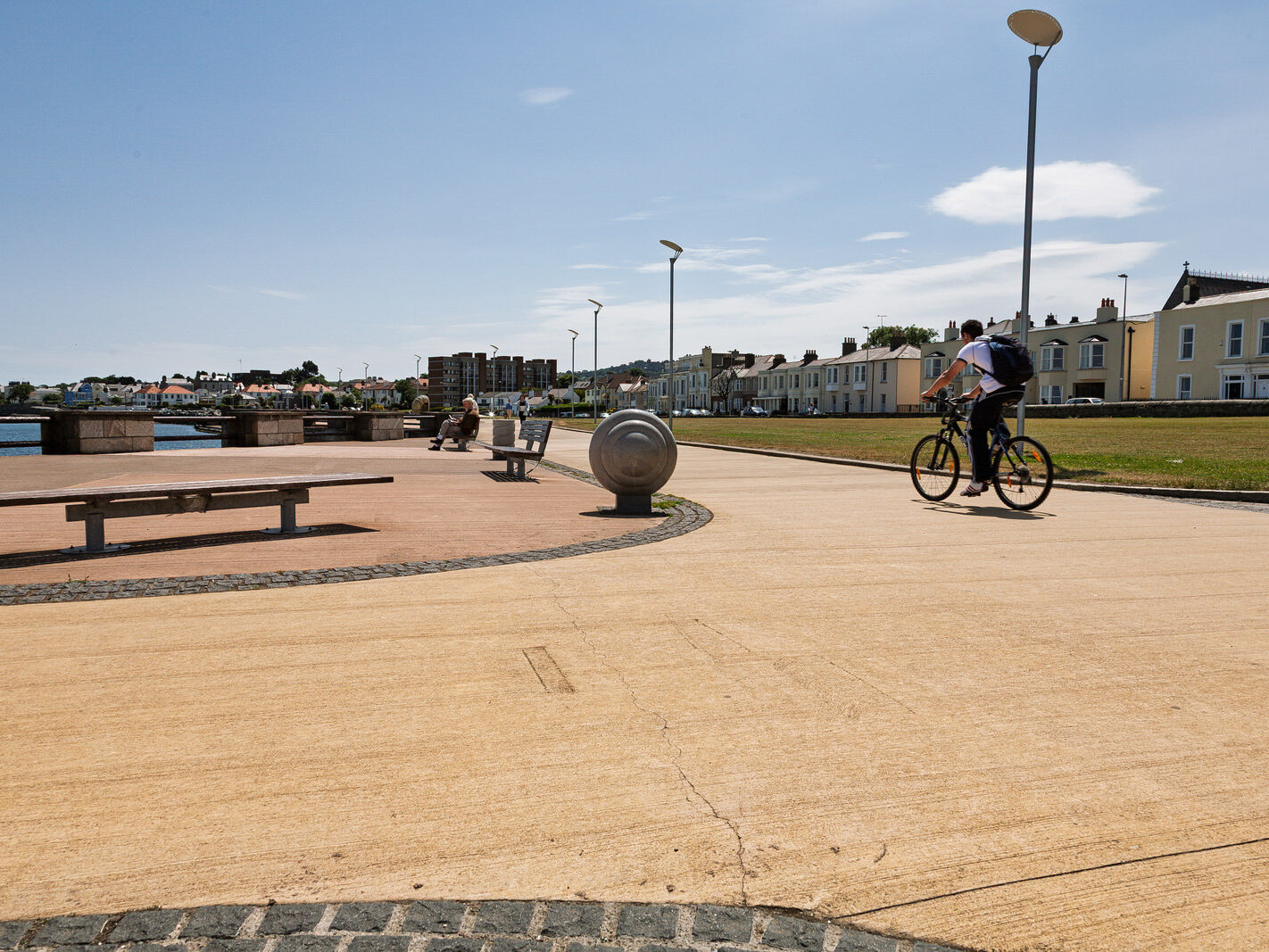
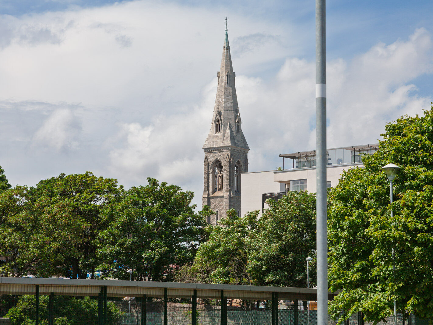
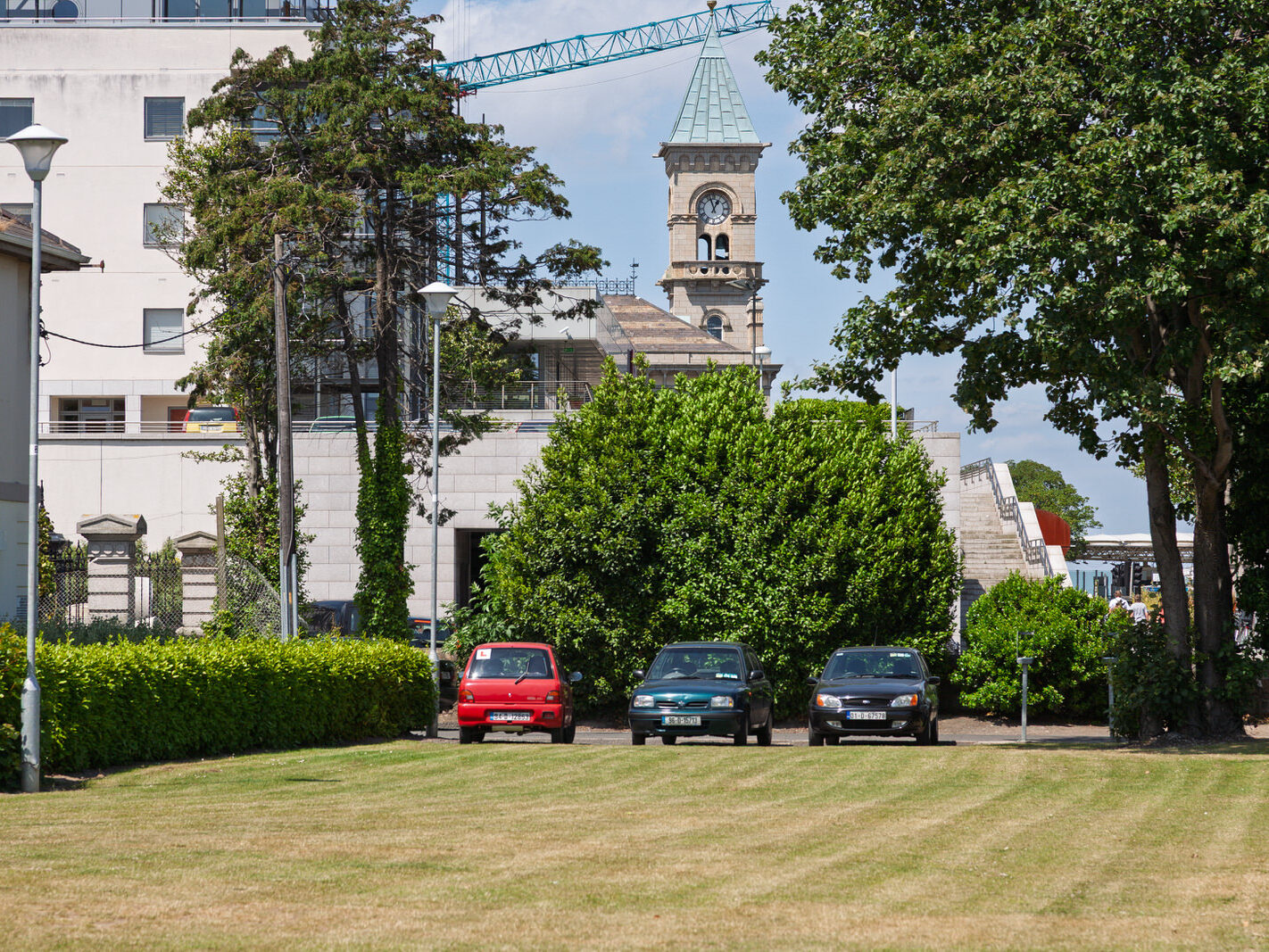
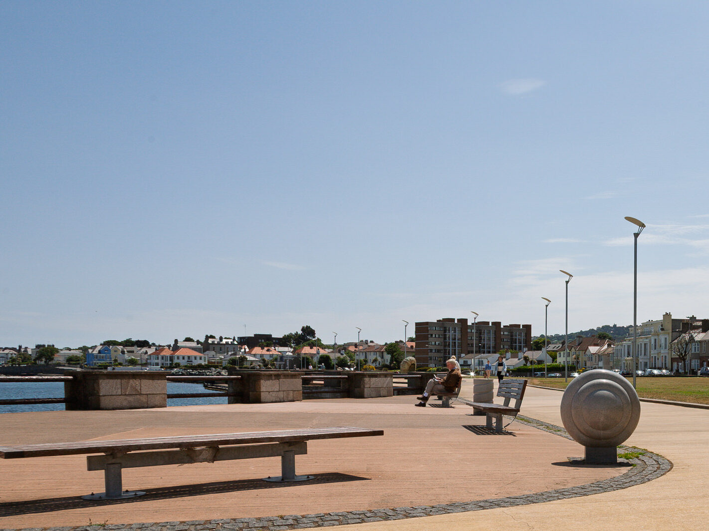
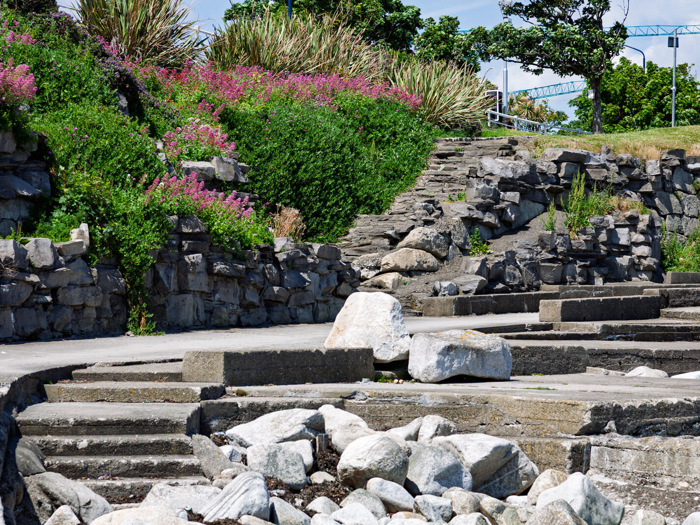
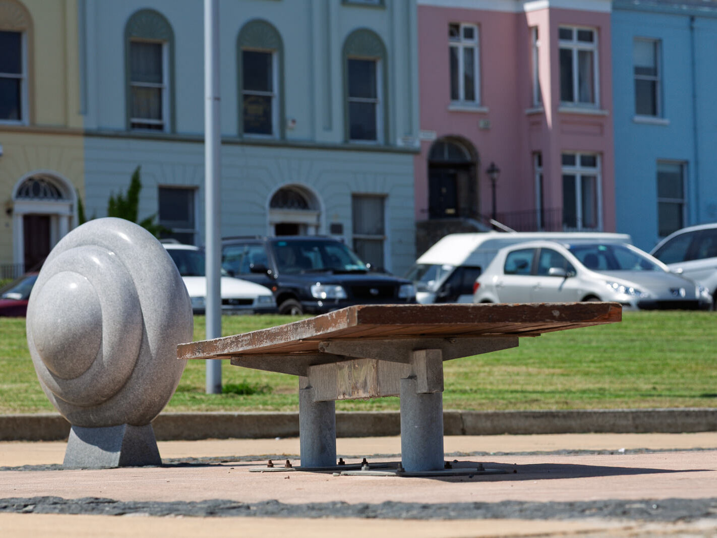
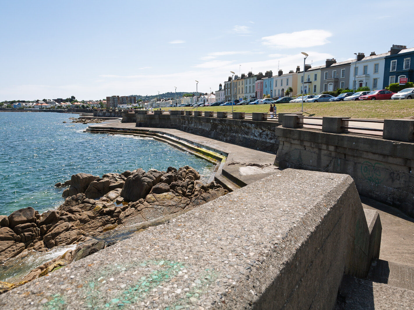
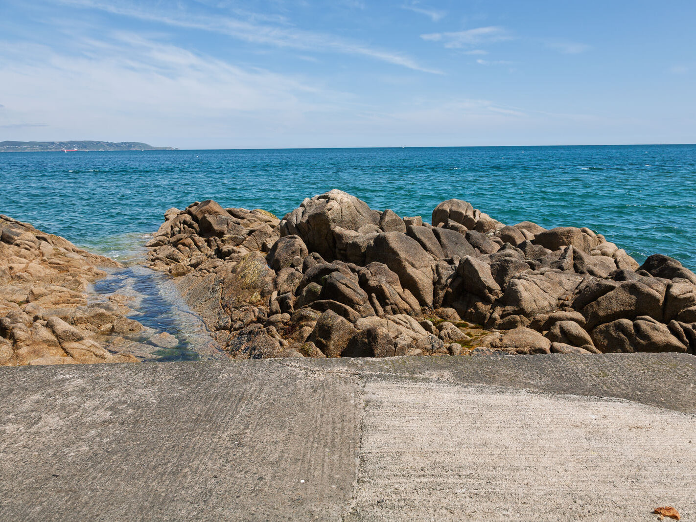
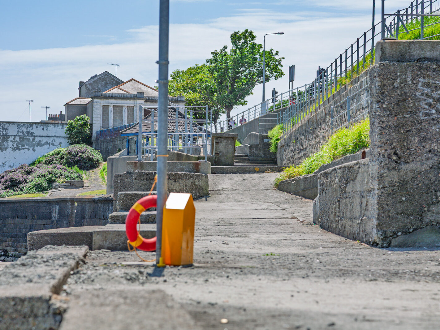
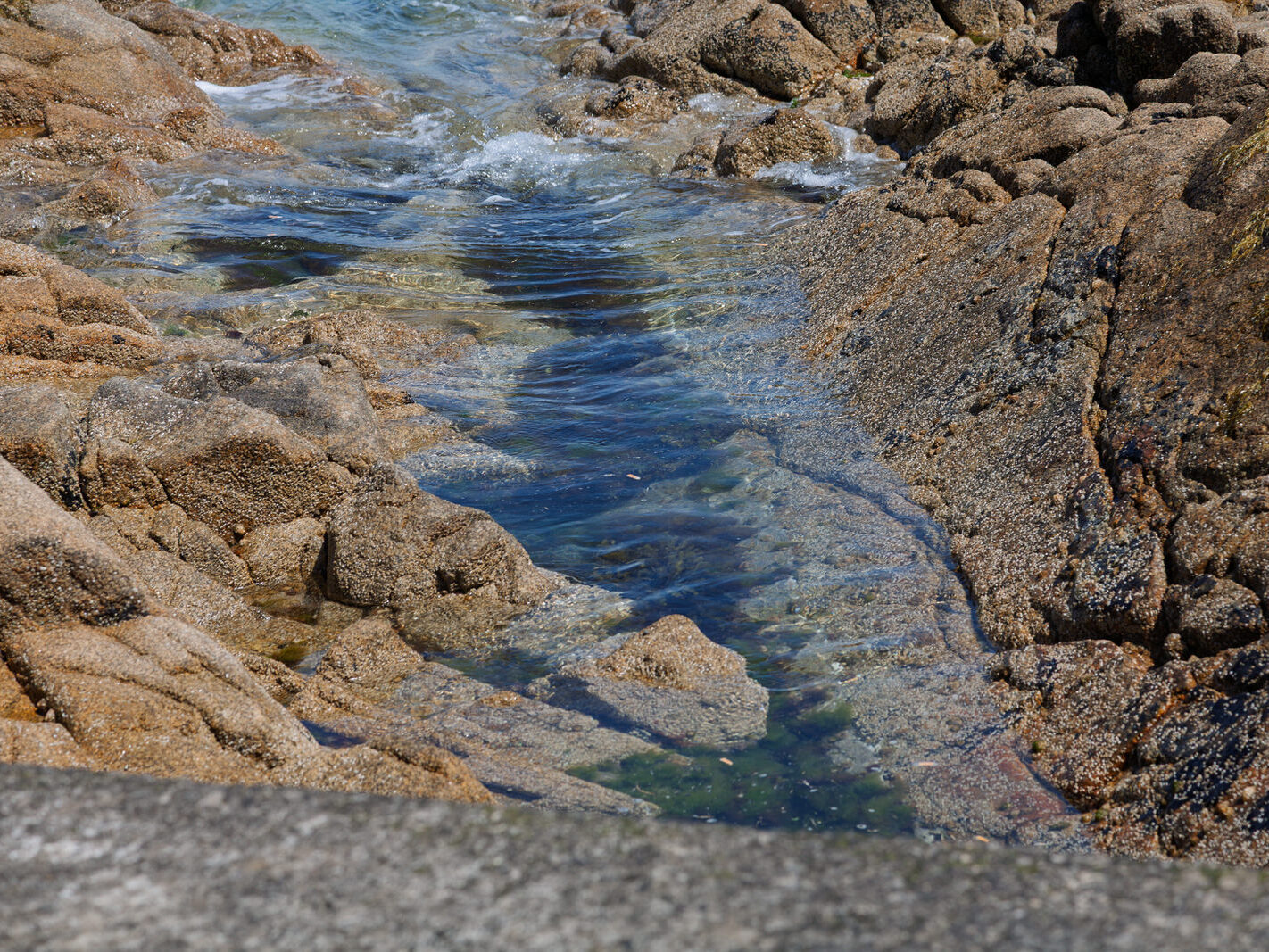
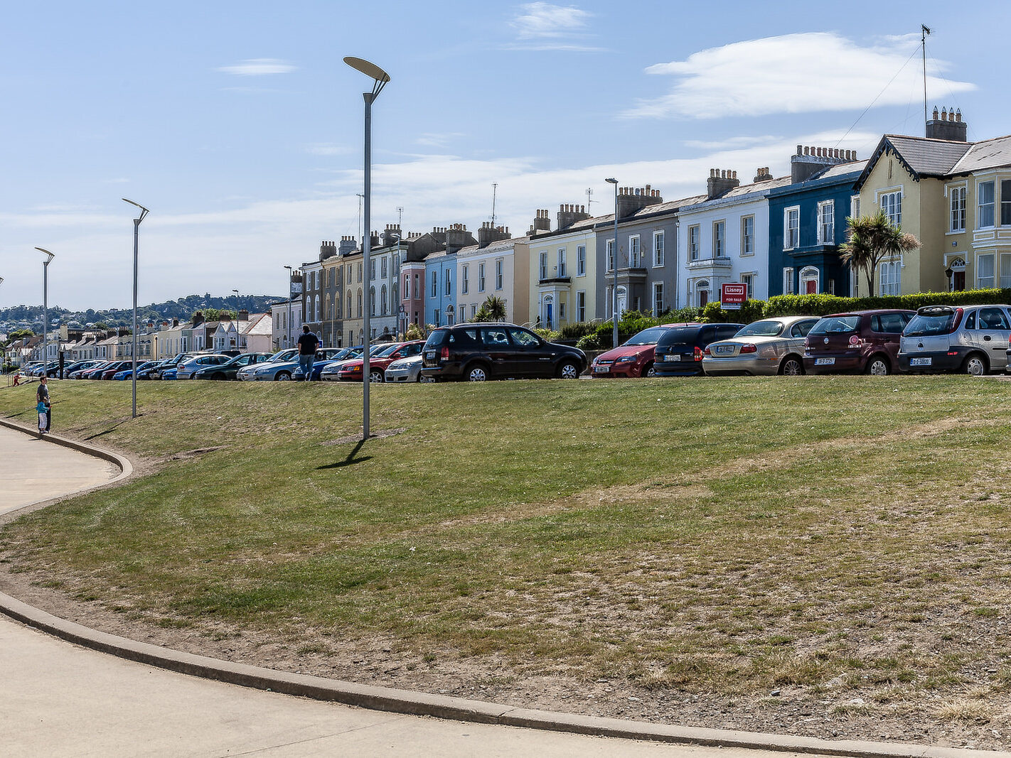
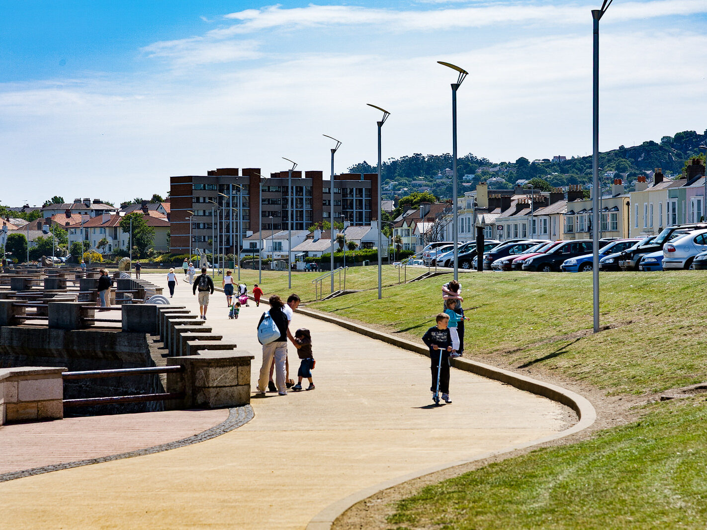
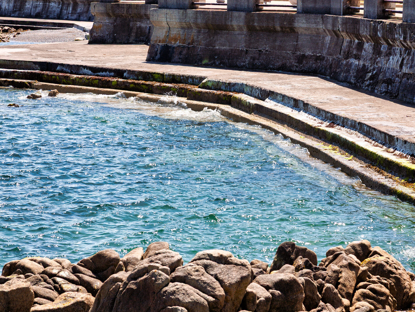
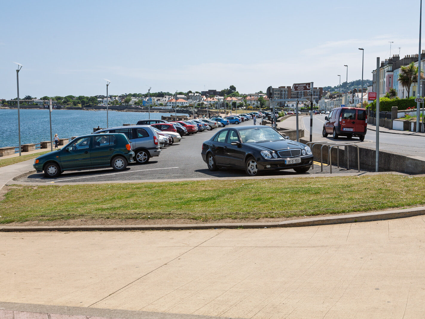
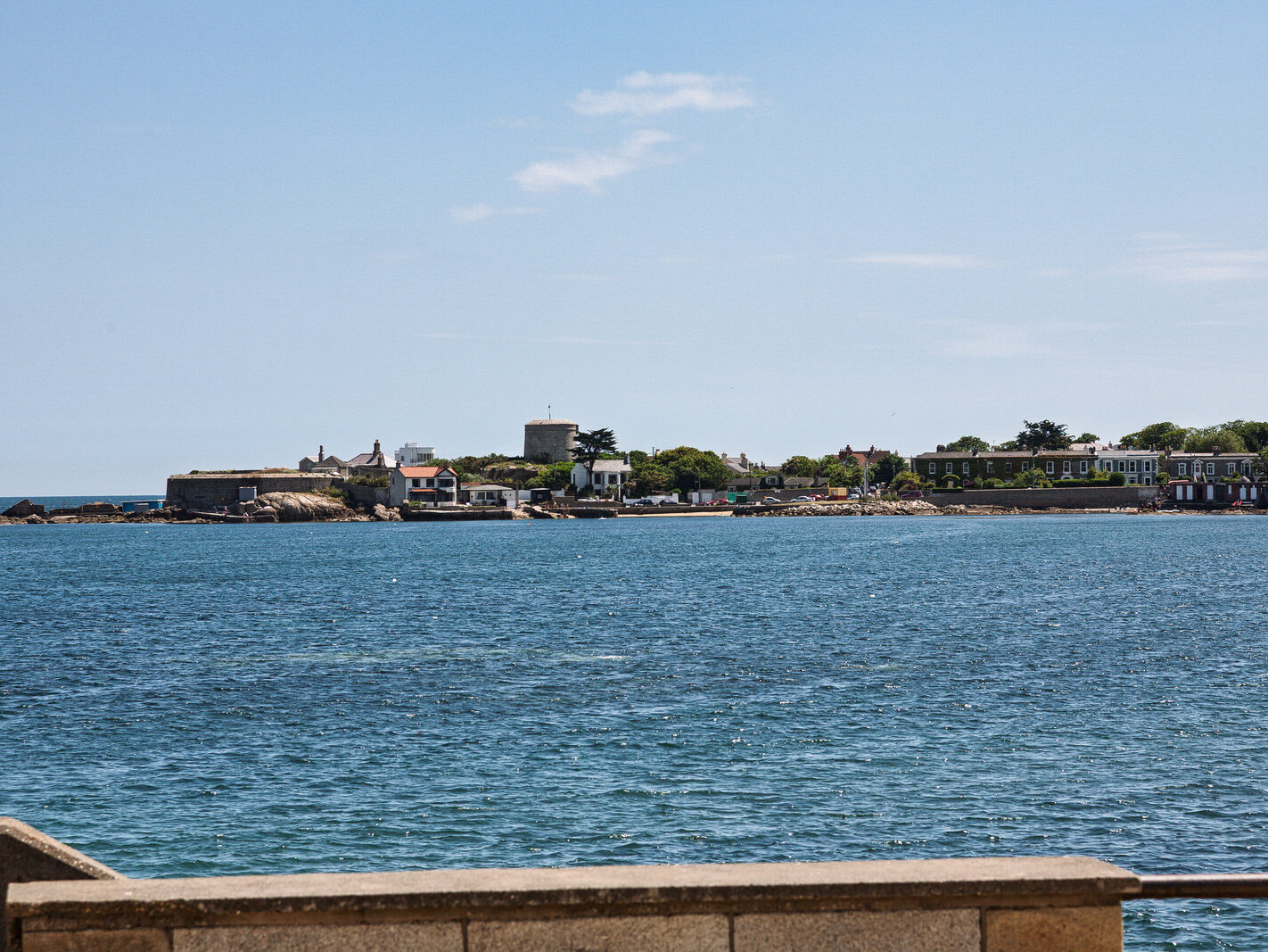
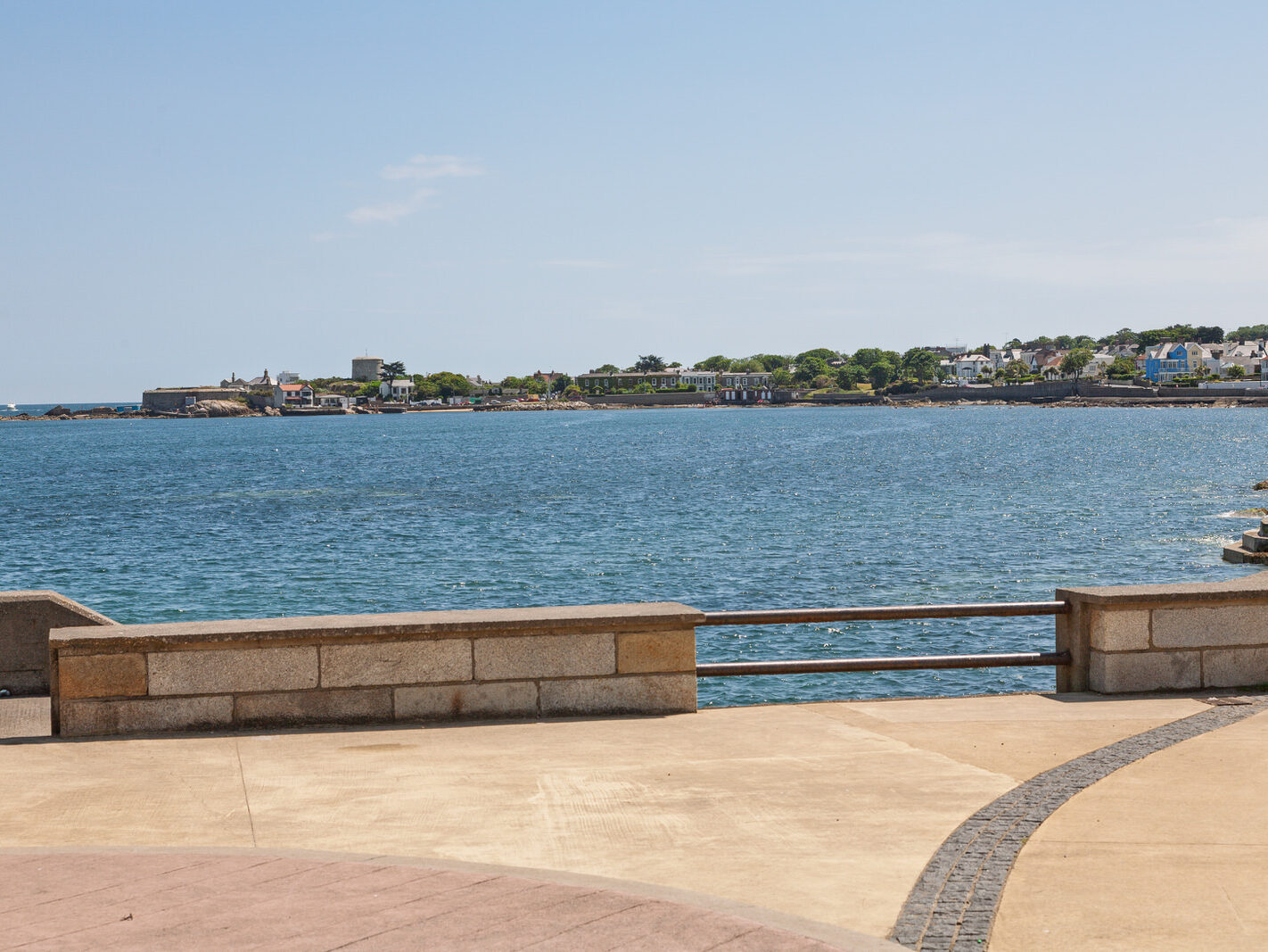
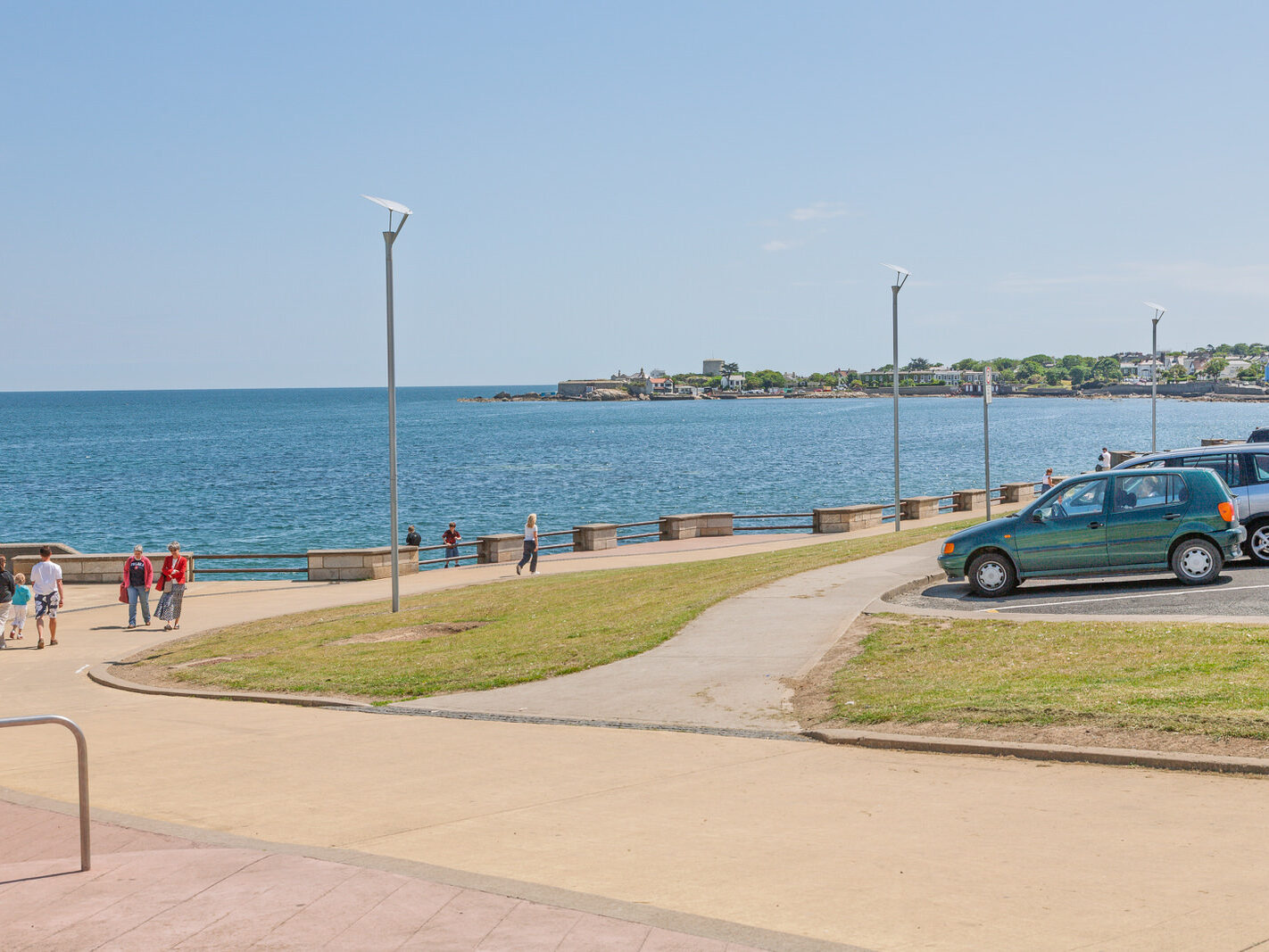
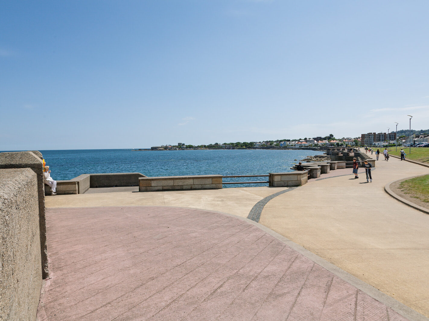
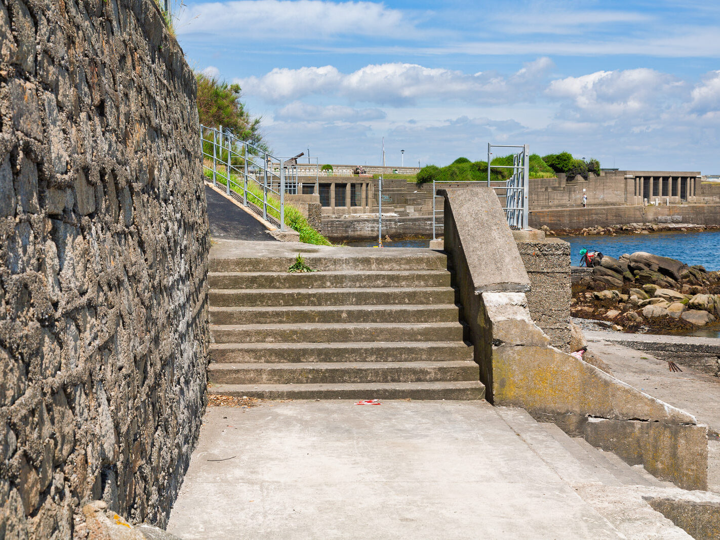
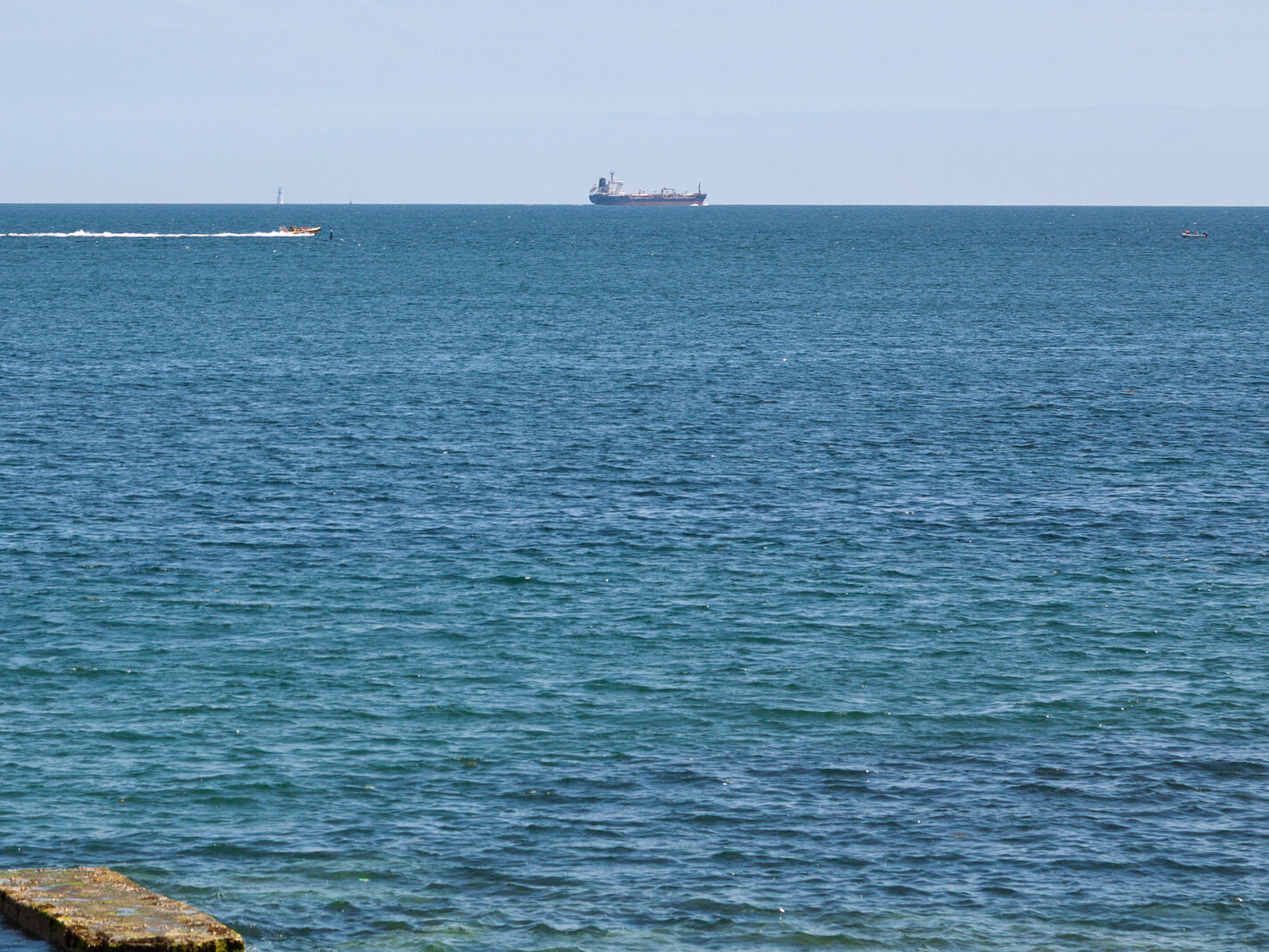
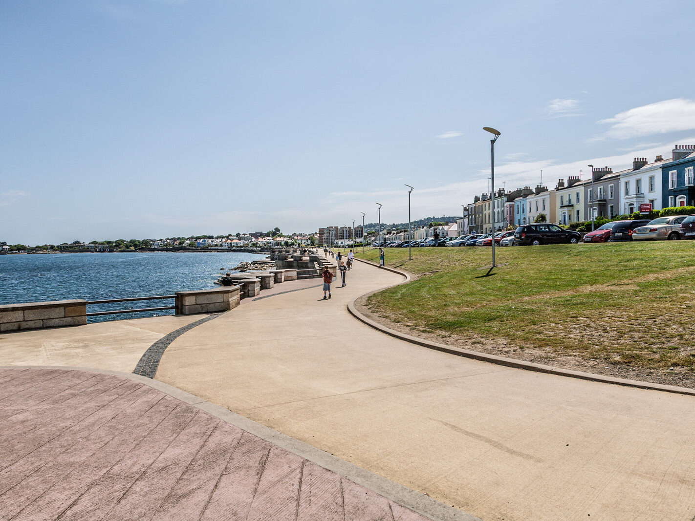
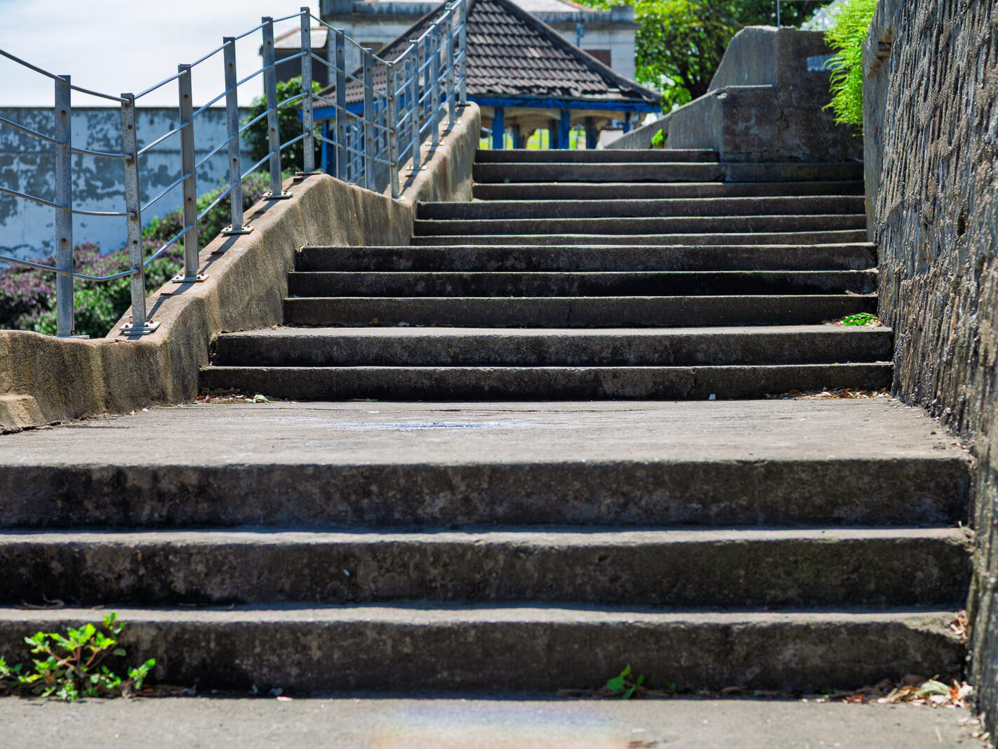
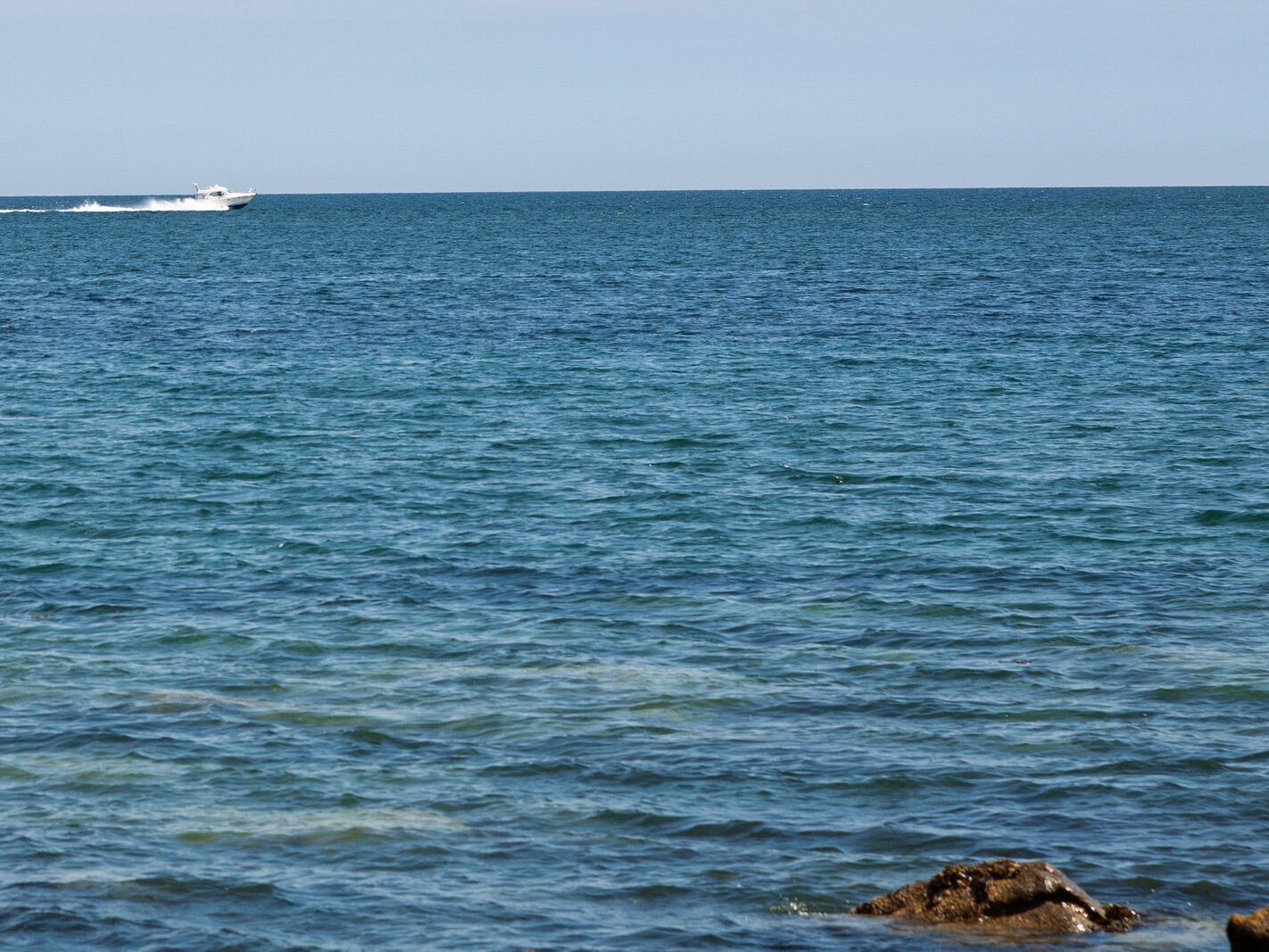
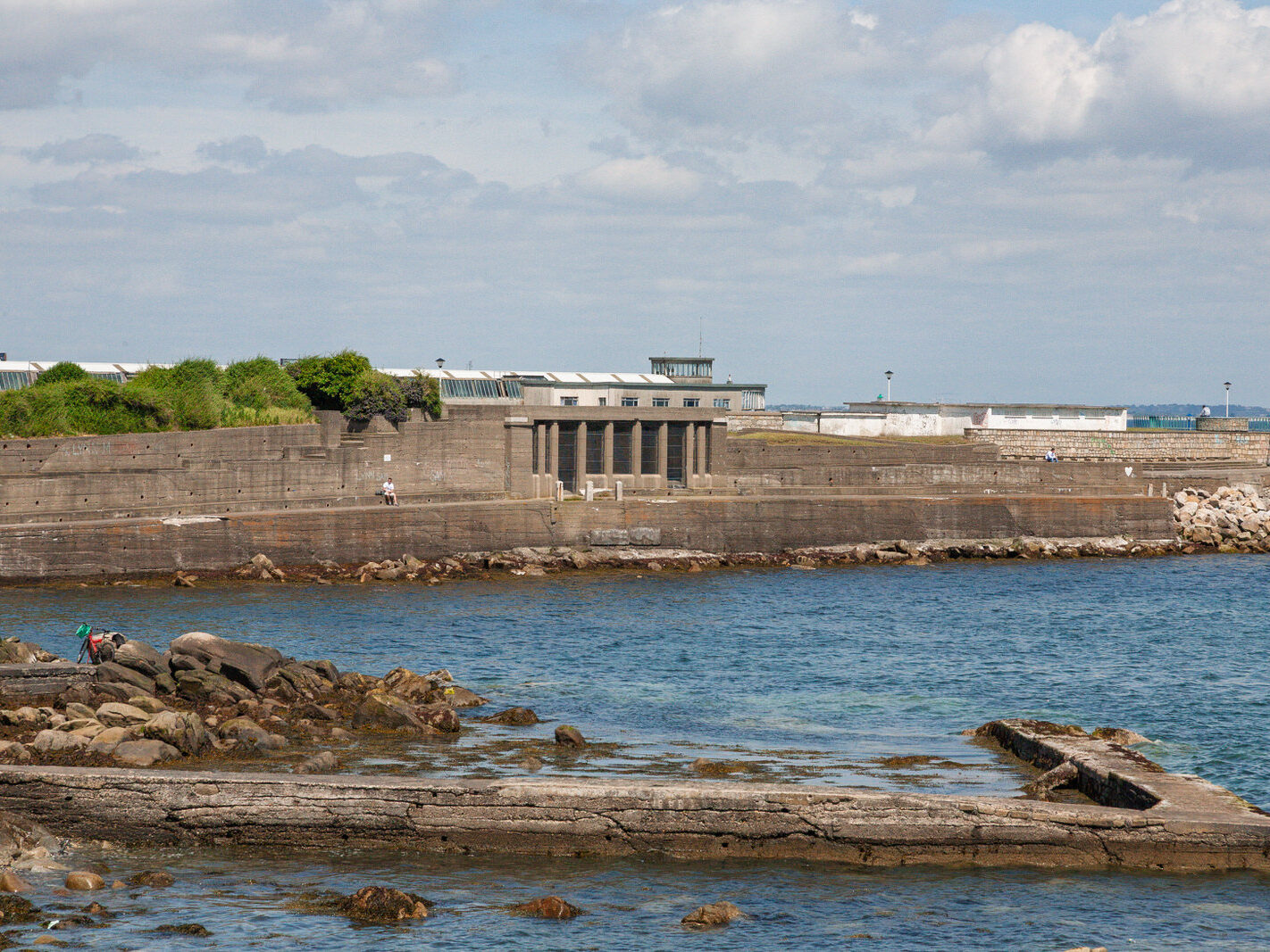
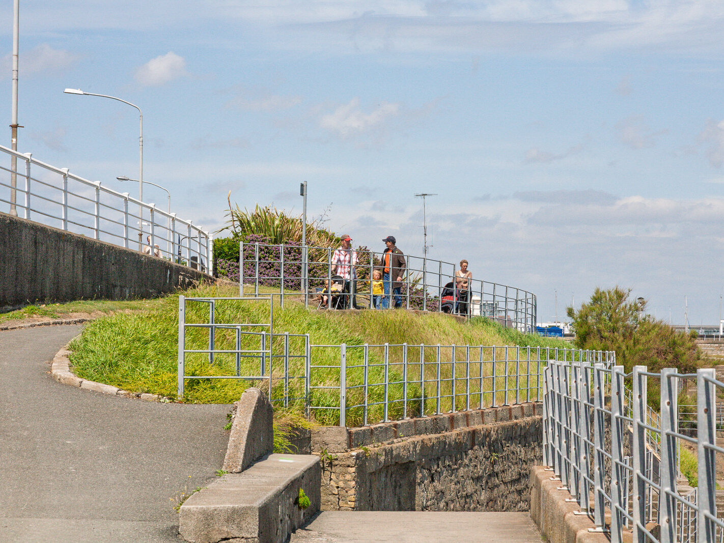
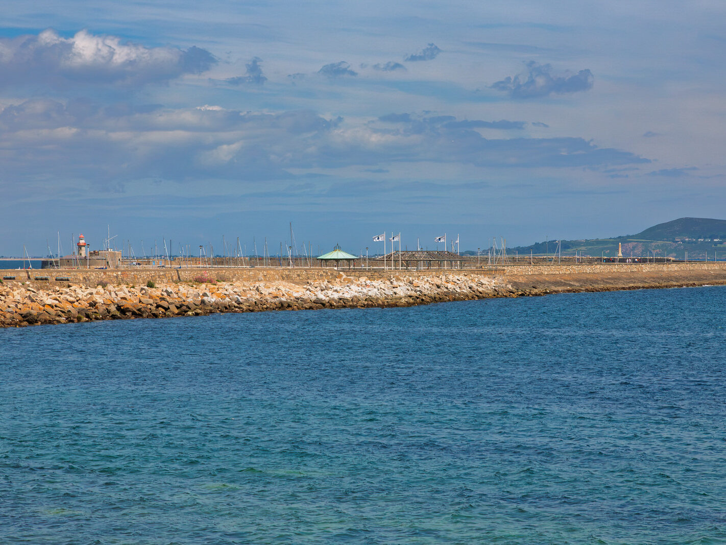
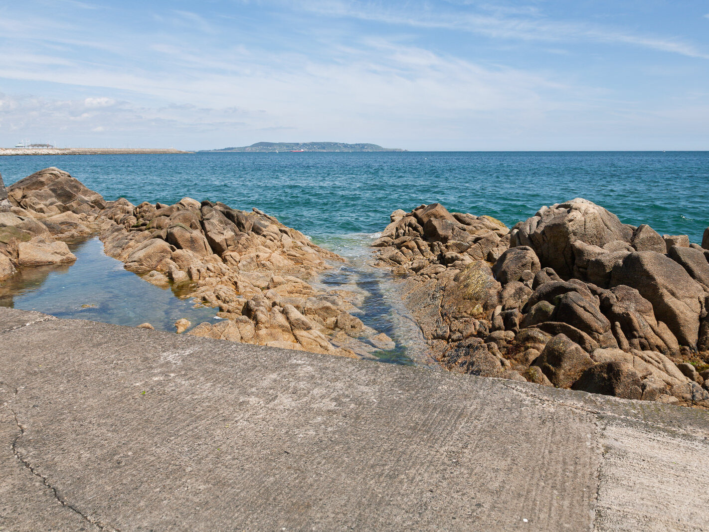
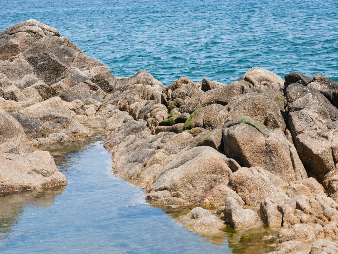
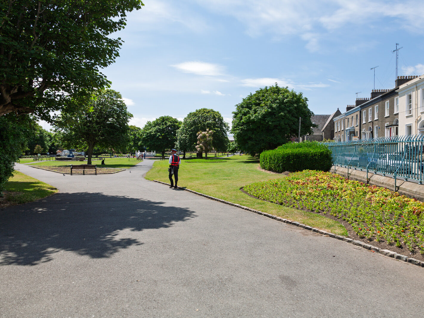
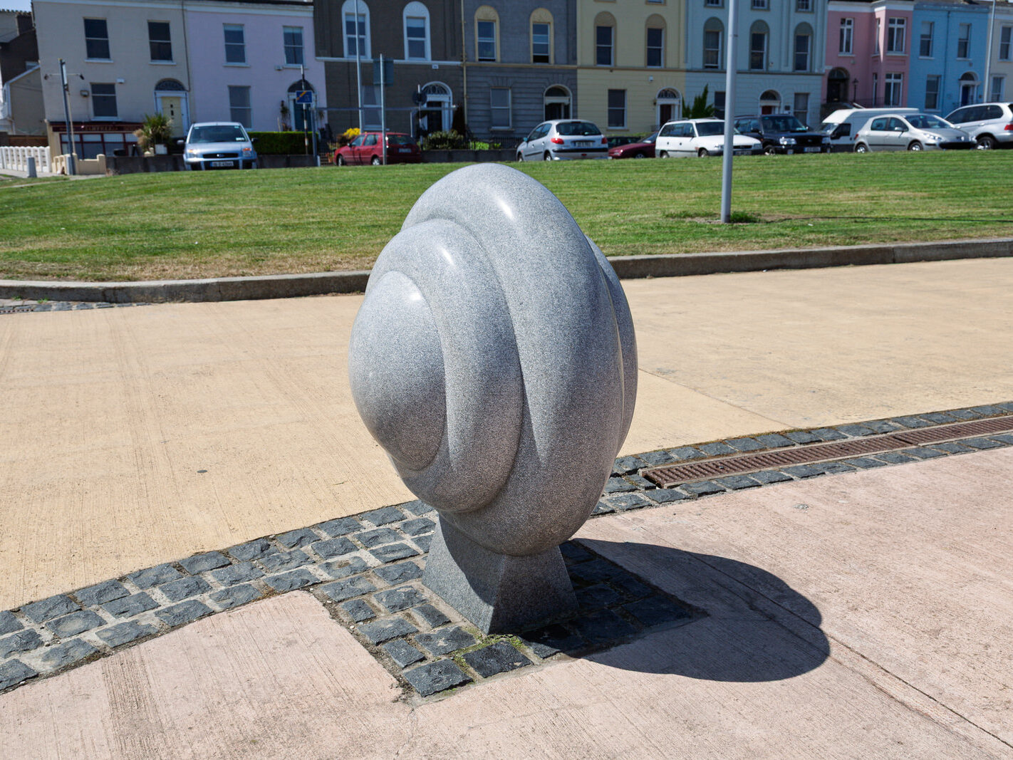
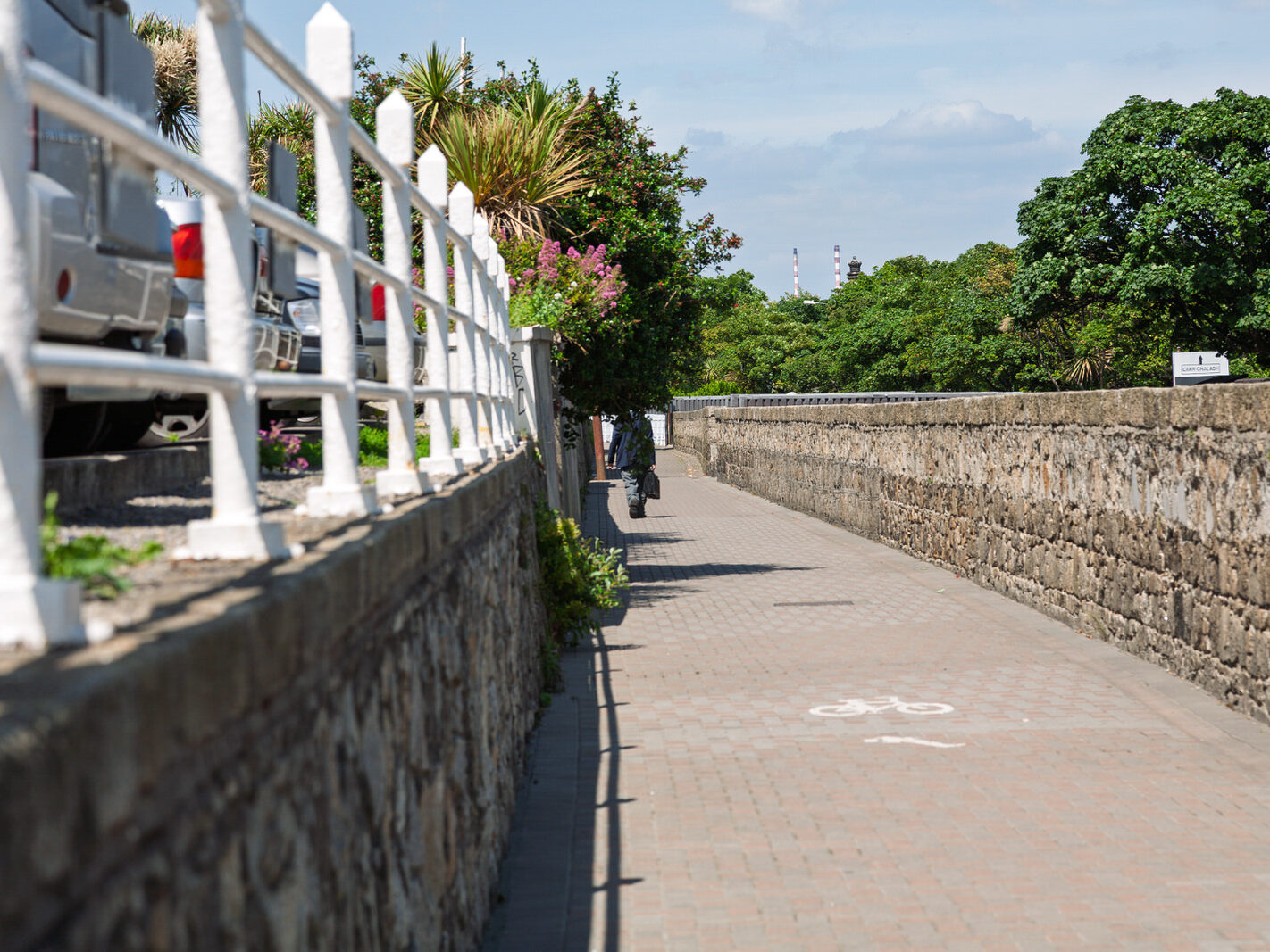
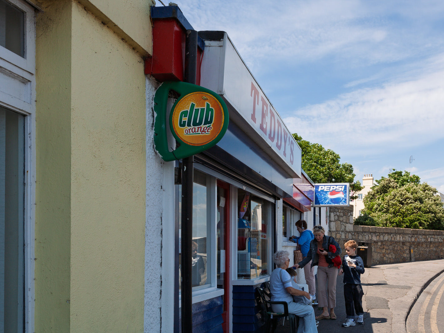
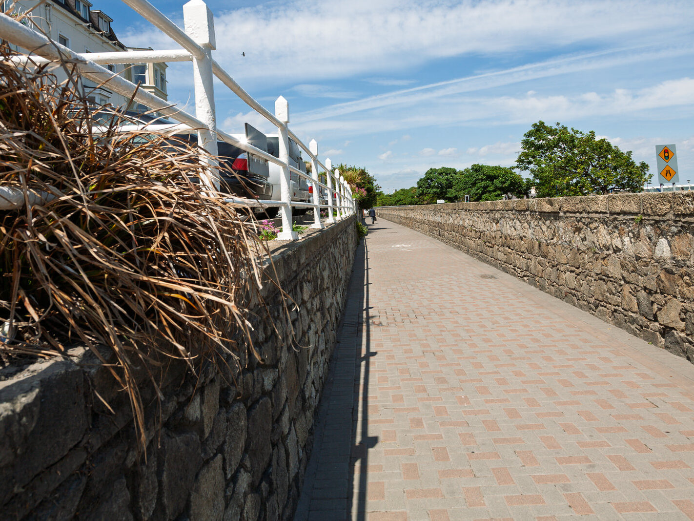
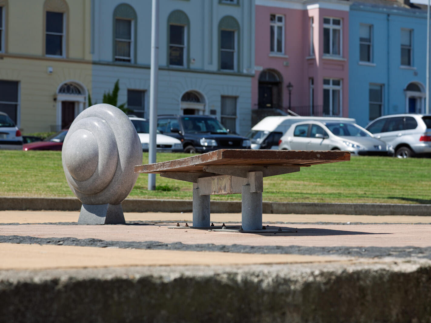
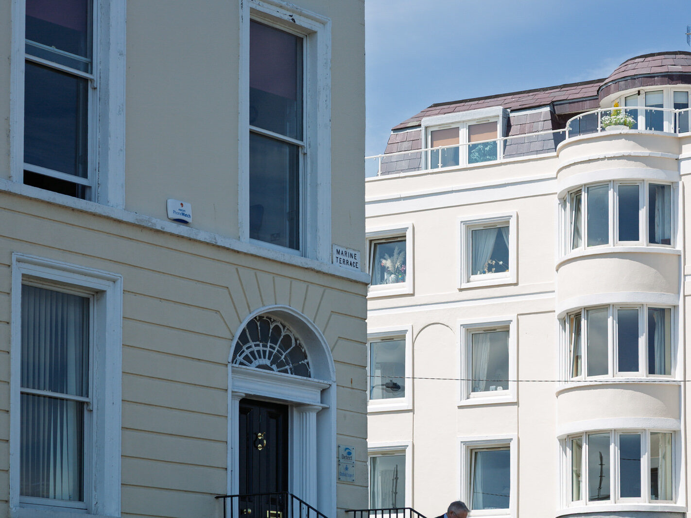
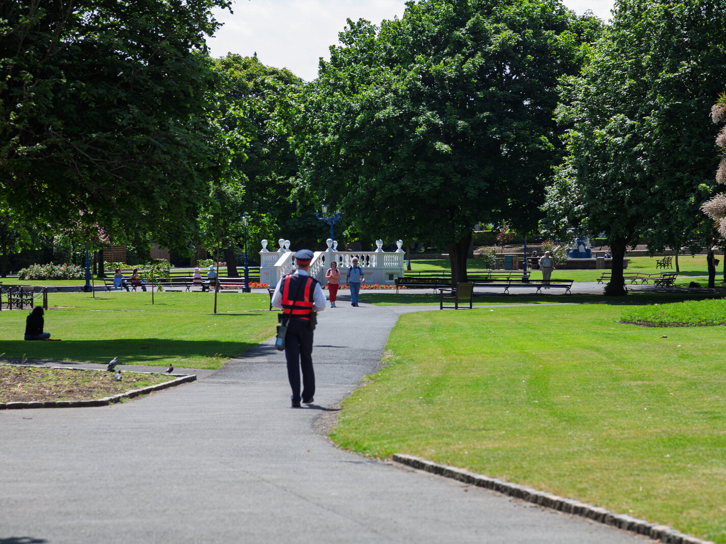
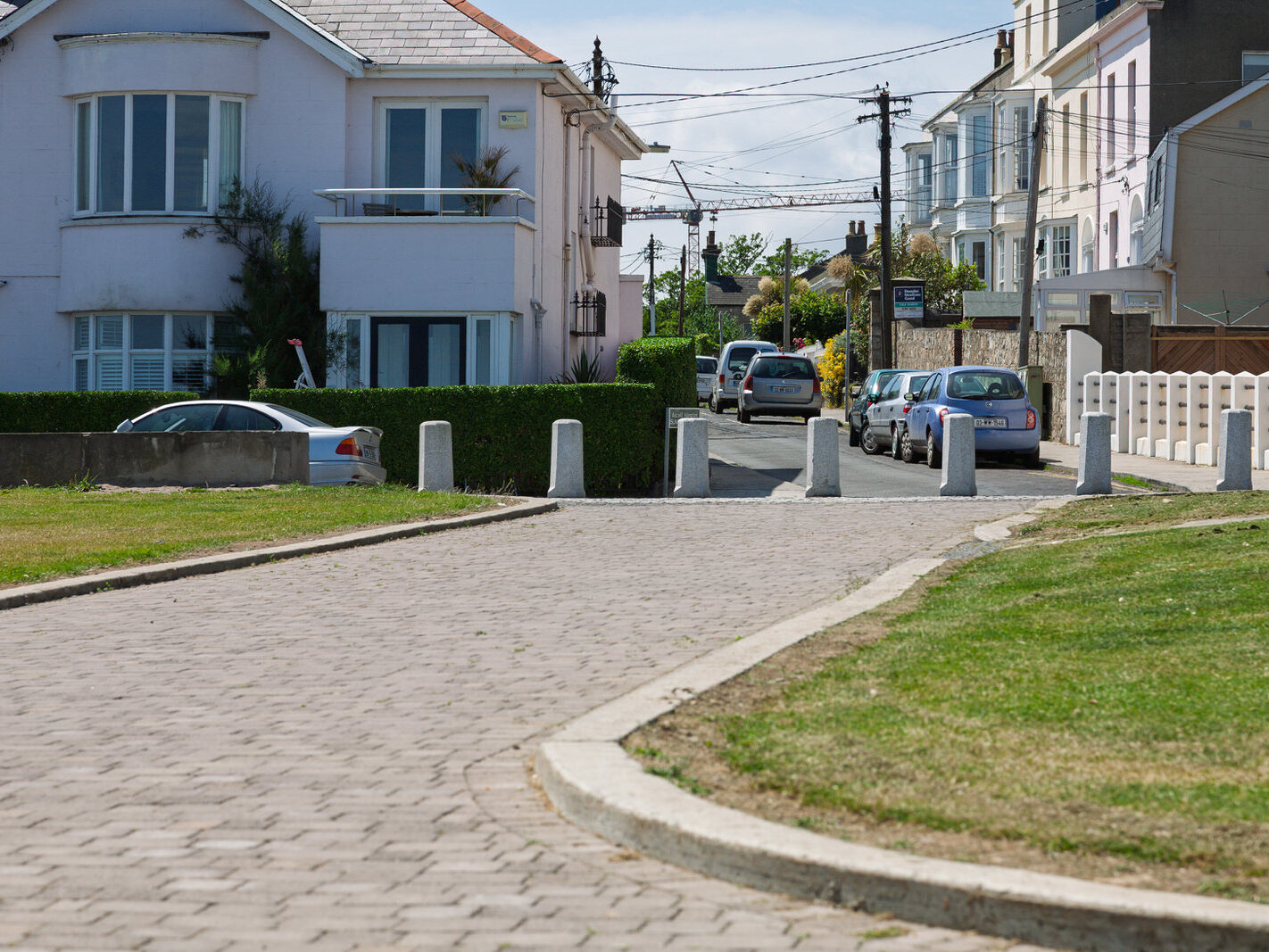
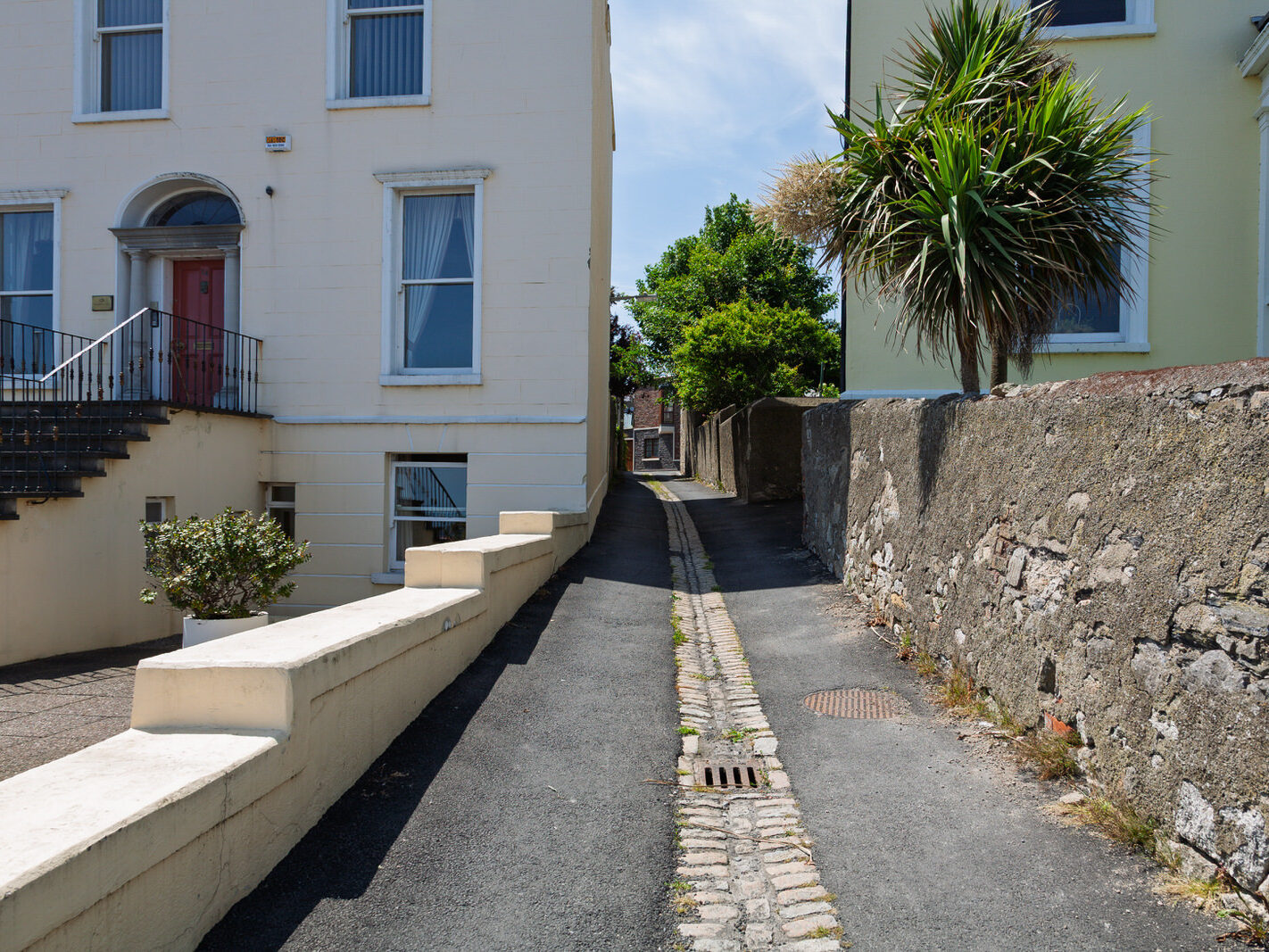
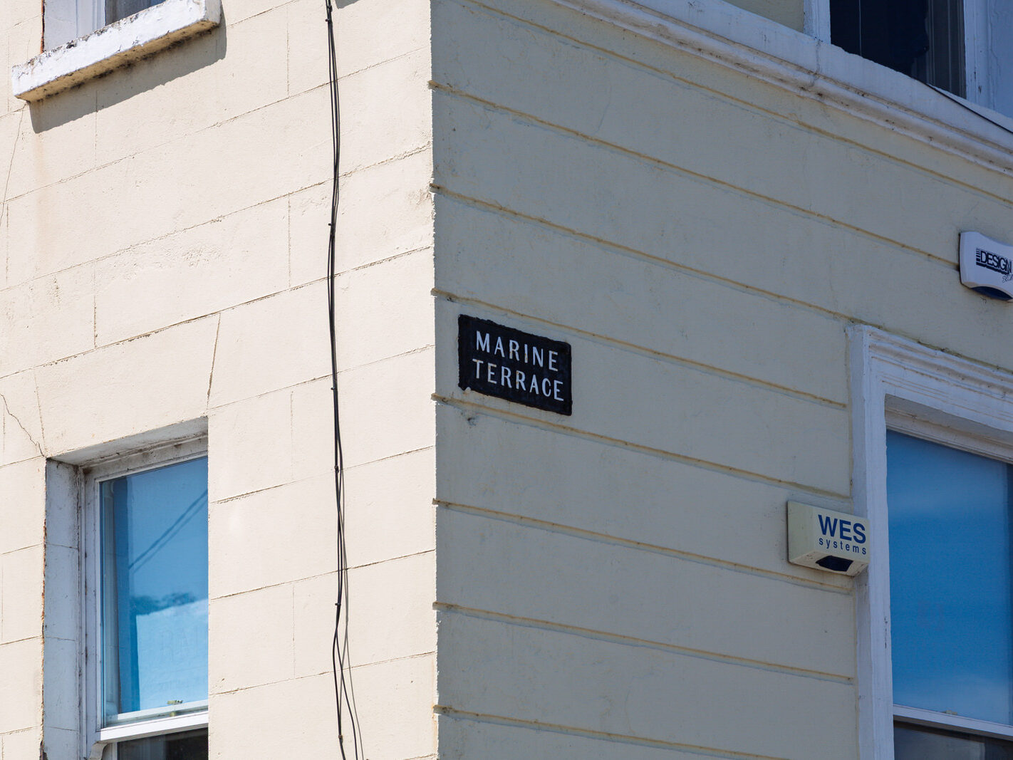
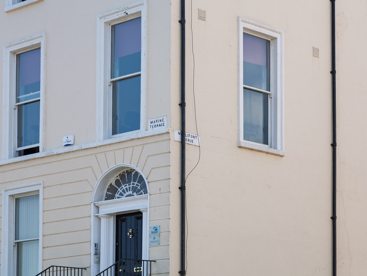
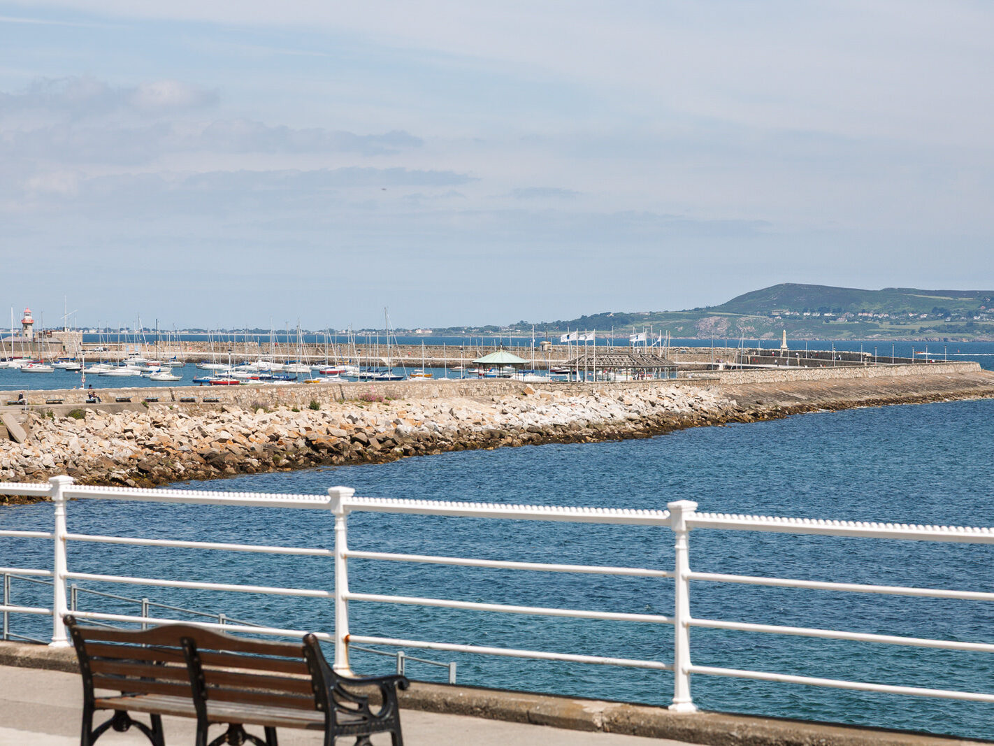
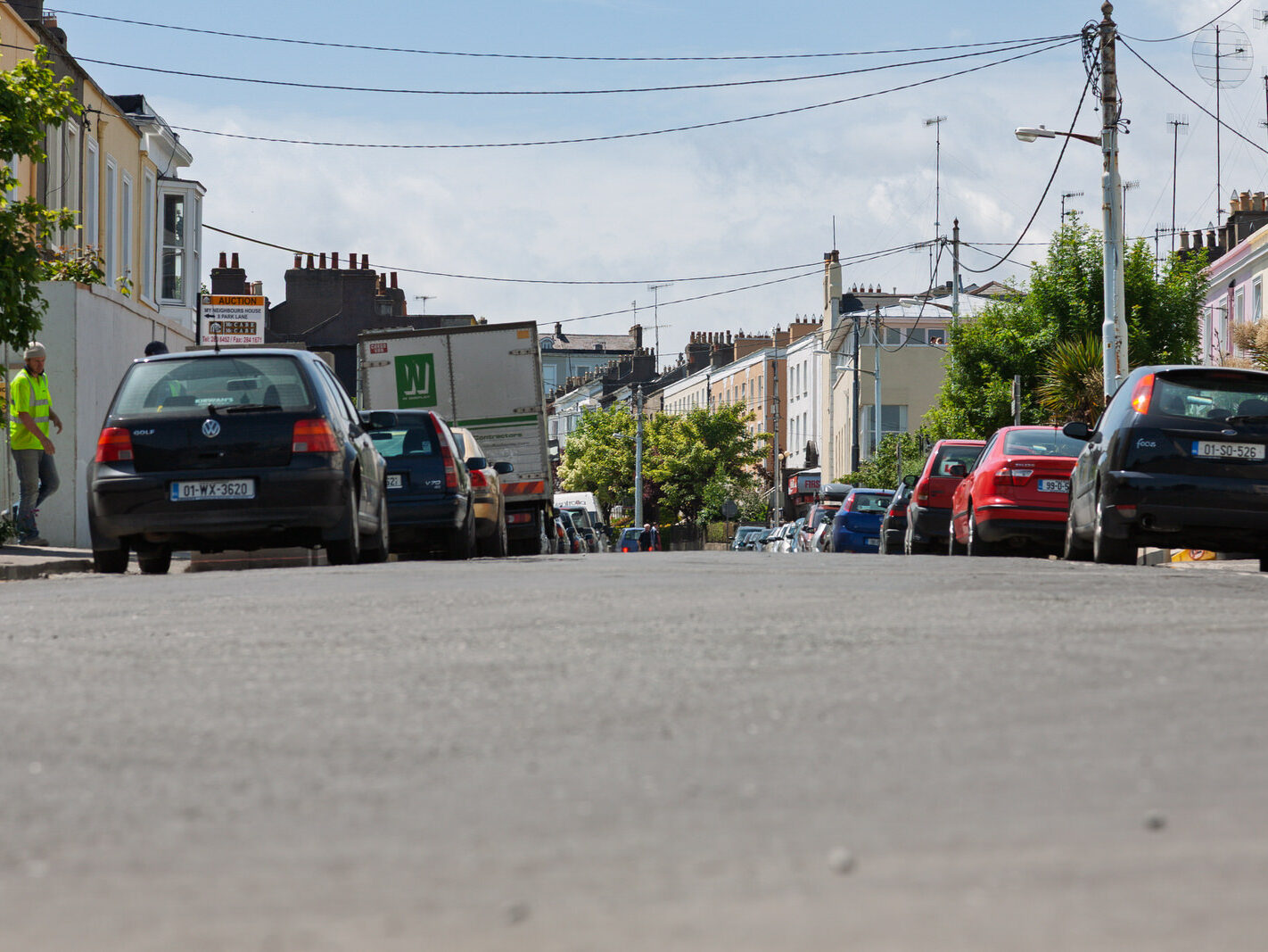
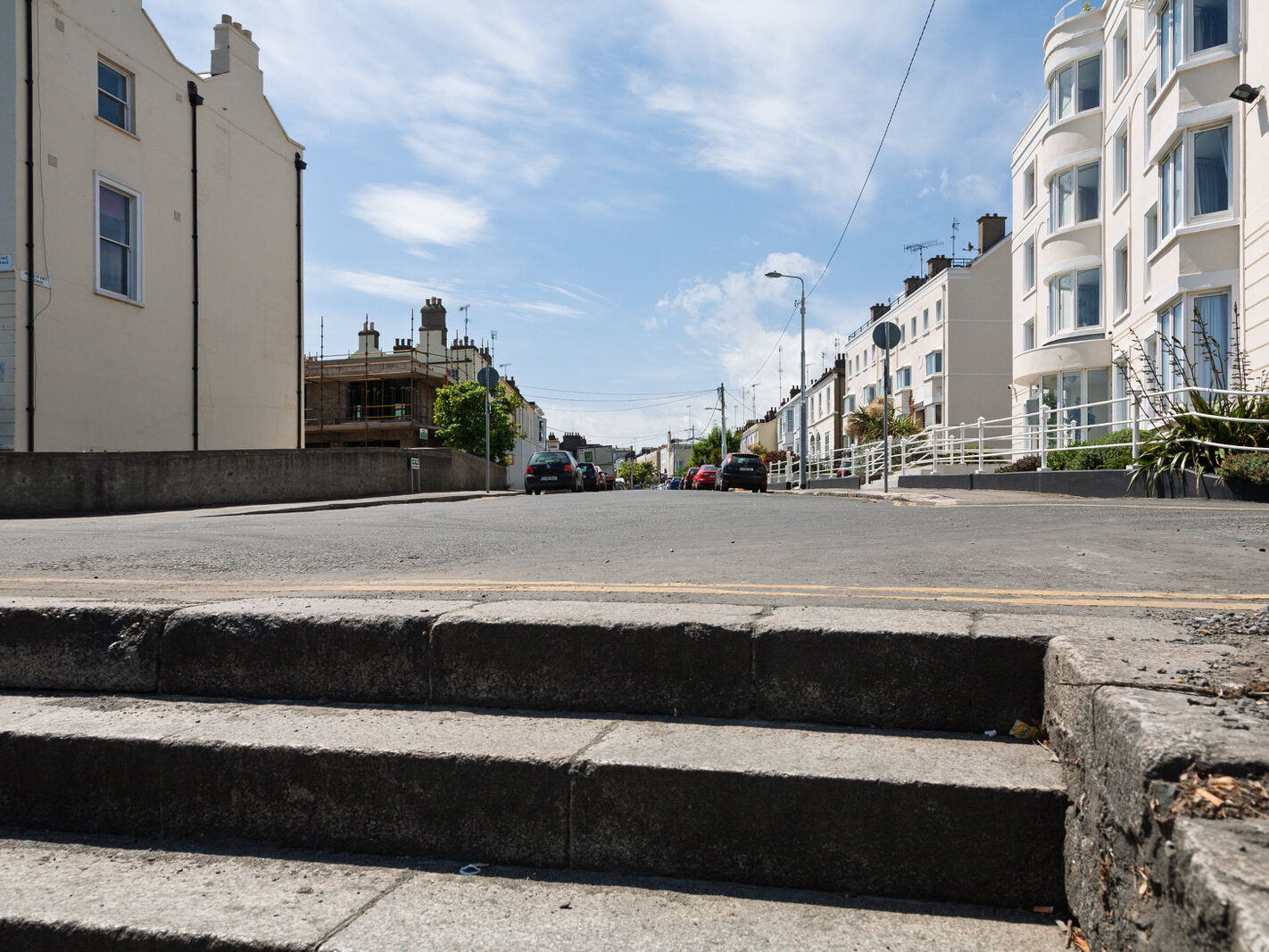
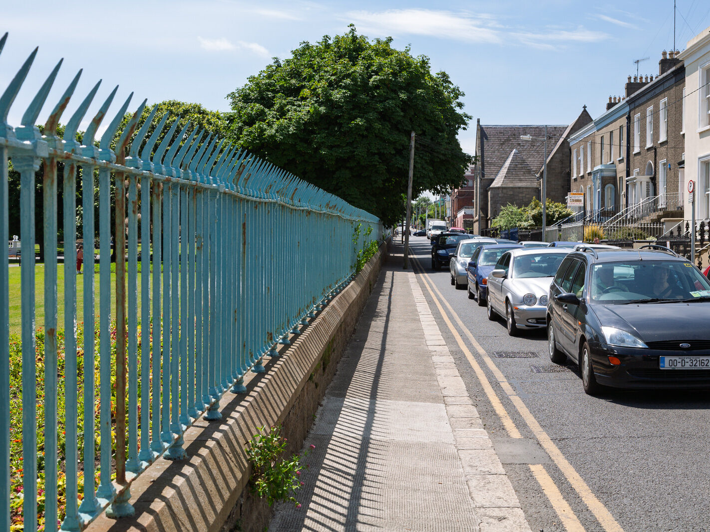
Dun Laoghaire As It Was In June 2006 Which Is Twenty Years Ago

September 23, 2026 by infomatique


I used an original Canon 5D with a Canon 24-105mm F4 lens

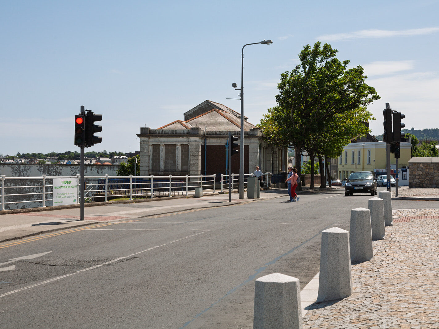
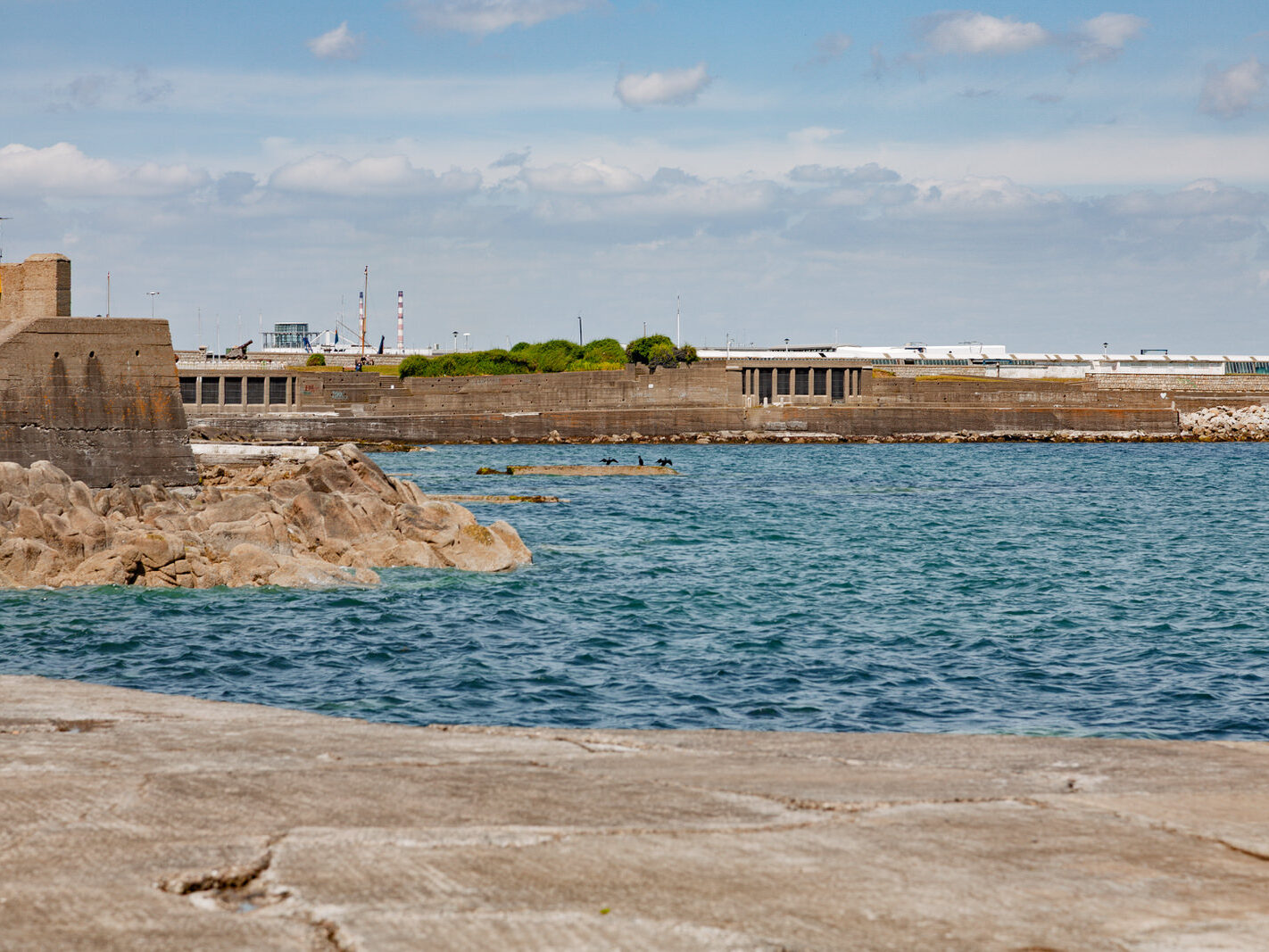
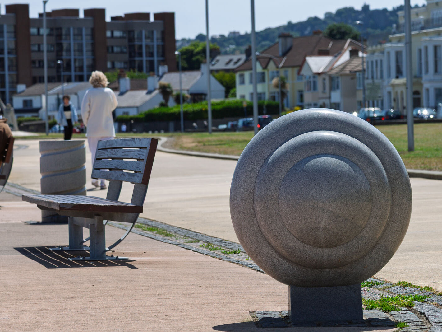
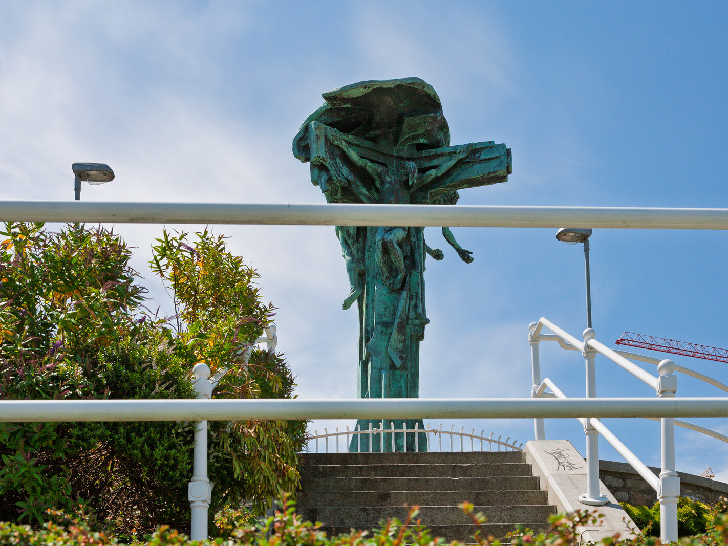
Twenty years ago, Dún Laoghaire presented a stark visual contrast between its grand Victorian maritime ambition and late-twentieth-century urban decay.

Dún Laoghaire Twenty Years Ago (c. 2006)

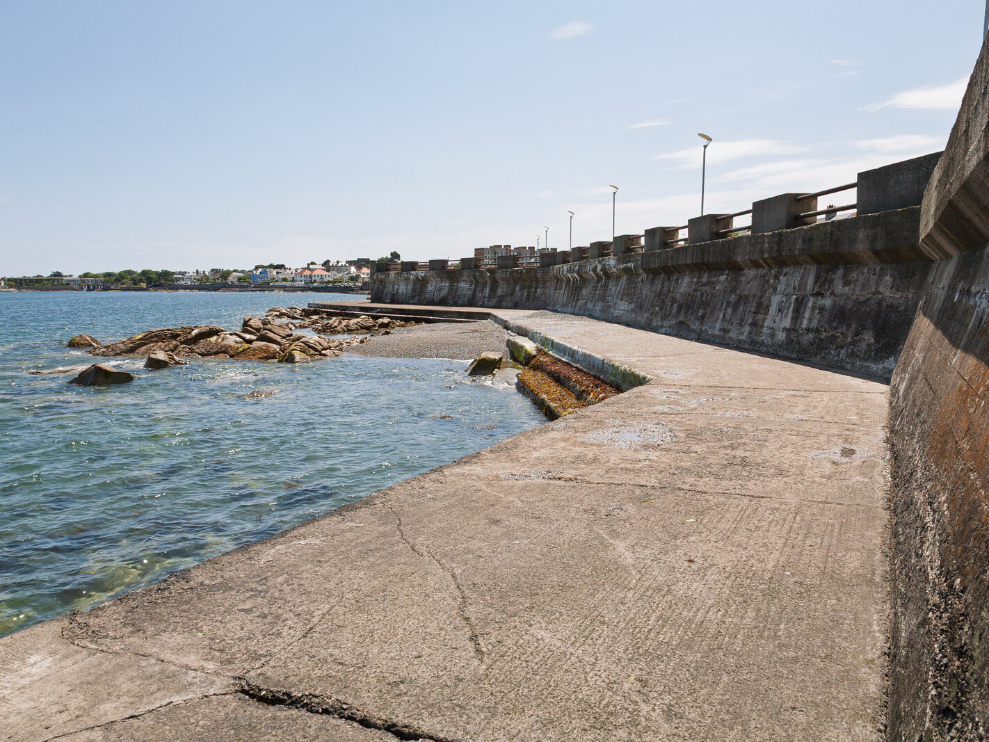
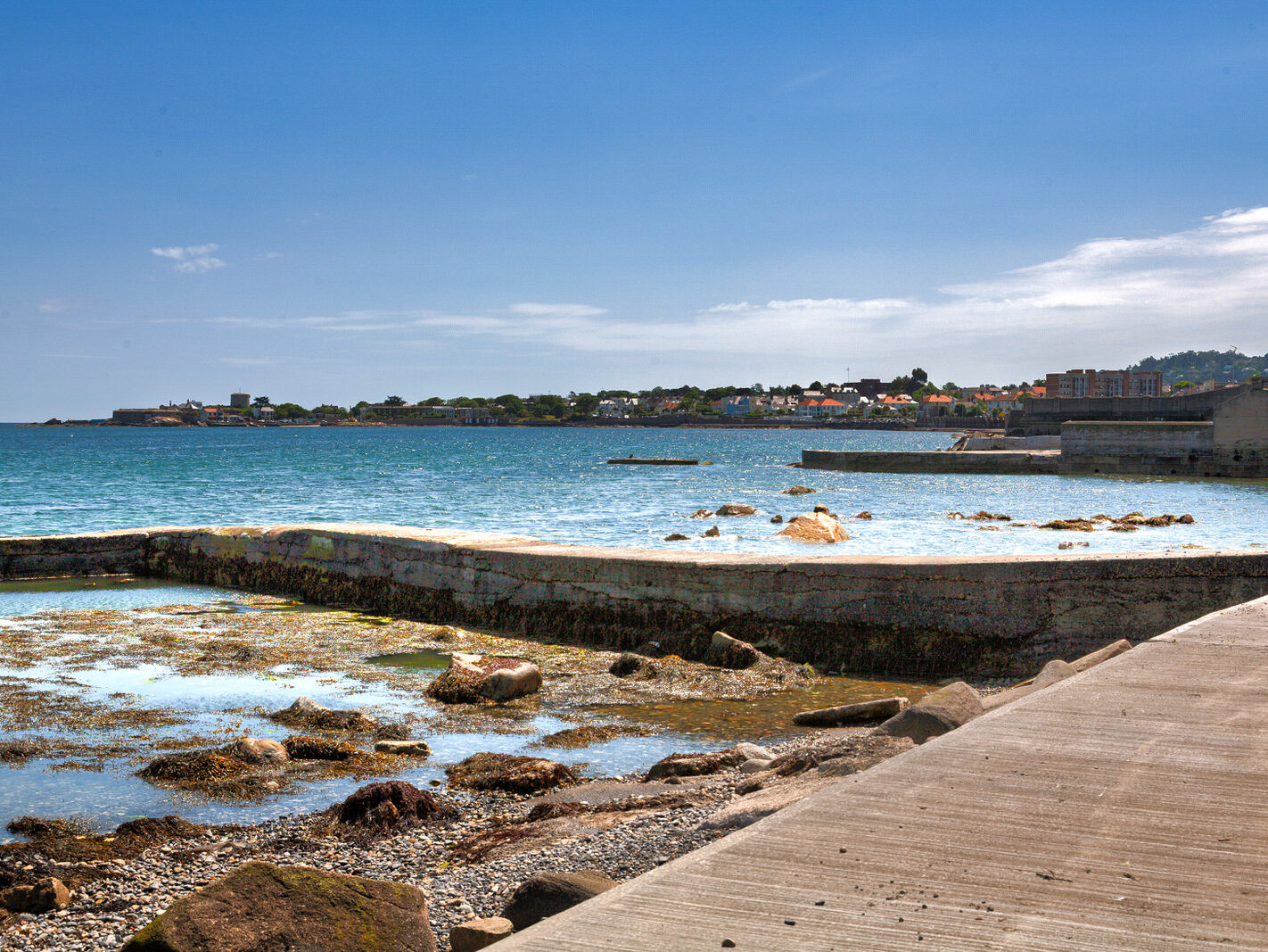
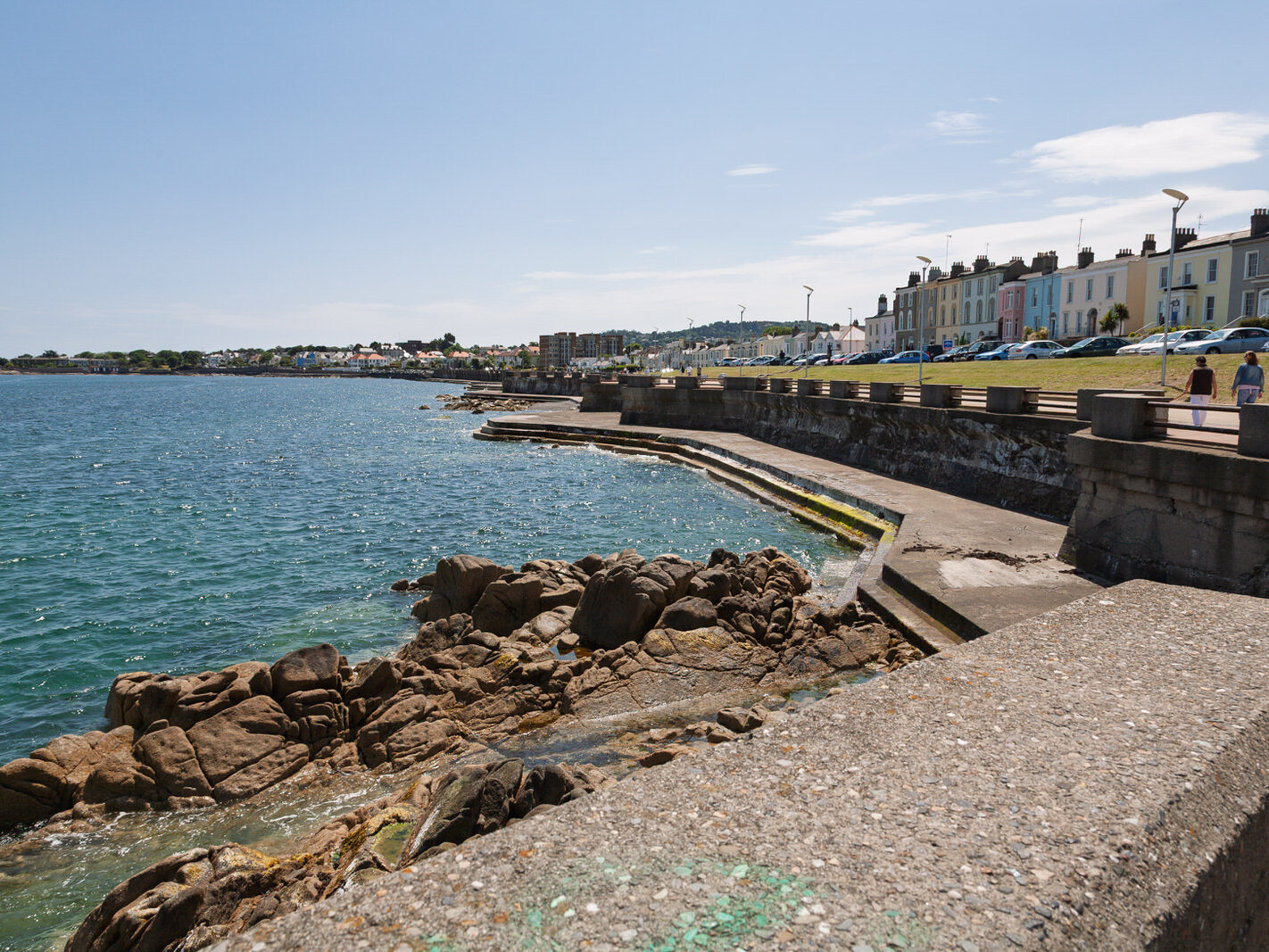
Two decades ago, a walk along the seafront revealed a town caught in limbo:

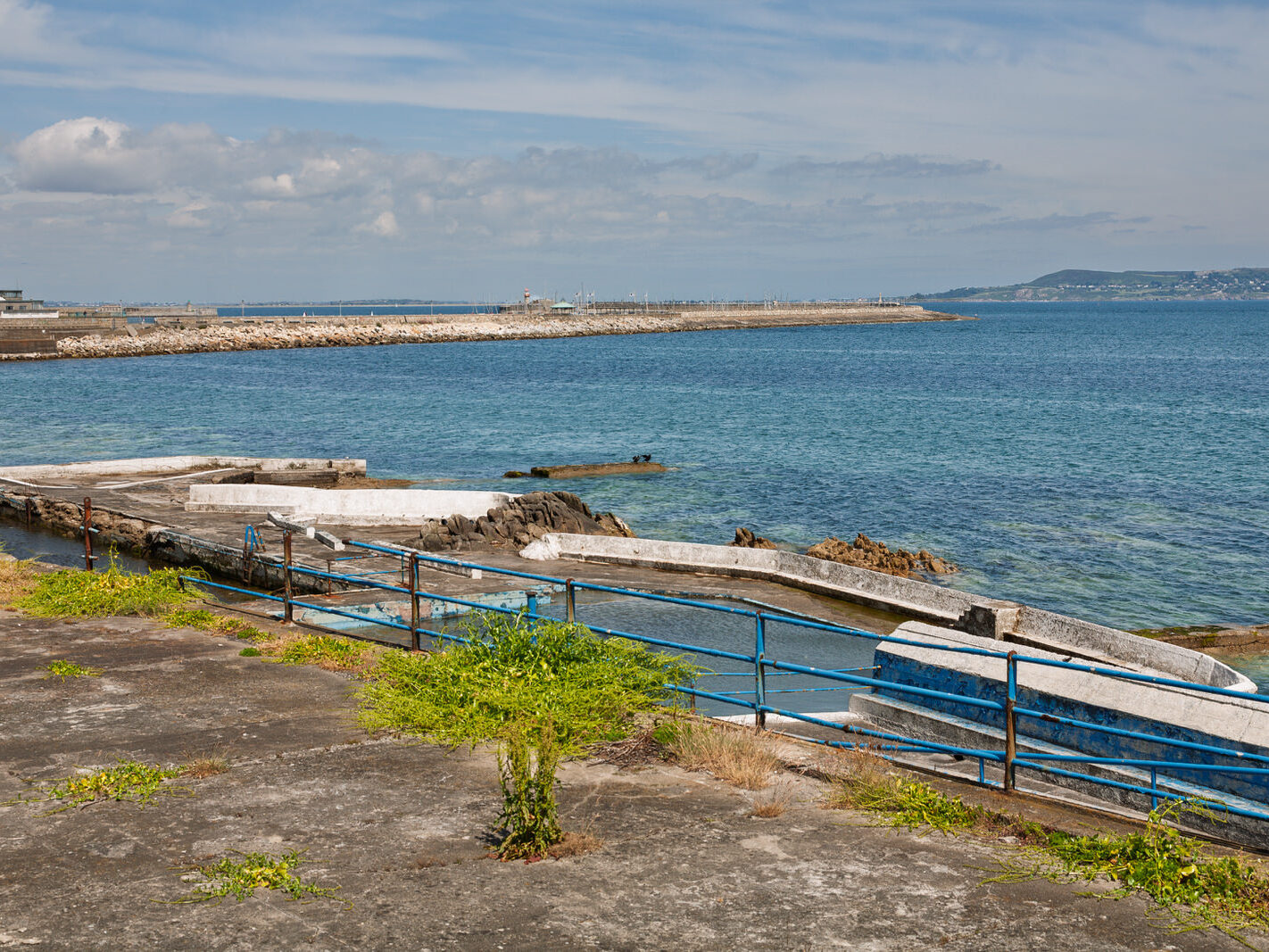
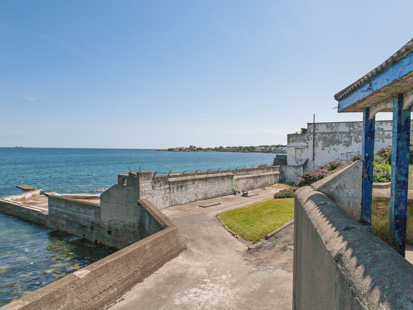
The Derelict Baths: The Victorian Dún Laoghaire Baths—closed since 1997—were the seafront’s most notorious eyesore. The site was covered in peeling paint, rust, broken fencing, and graffiti, fenced off from the public while contentious commercial redevelopment schemes stalled.

Fading Ferry Identity: The massive Stena HSS fast-ferry still dominated St Michael’s Pier, but passenger numbers were dropping as Dublin Port captured commercial traffic. The ferry terminal’s vast concrete marshalling yards created a physical and visual barrier between the harbour and the town centre.

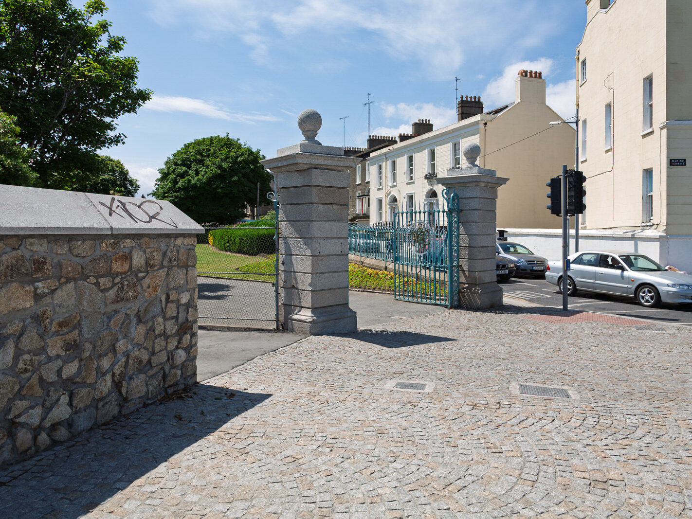
Tired Public Realm: Pavements were cracked, street furniture was dated, and the connection between George’s Street (the retail spine) and the waterfront felt severed by heavy road traffic along Queens Road and Marine Road.

Neglected Green Spaces: While the Victorian bandstand and the People’s Park retained their historic charm, the park lacked modern catering amenities and suffered from underinvestment before its major restoration.

What Has Changed Since 2006

Since then, significant public investment has refocused the town from a transit ferry port into a cultural, recreational, and culinary coastal destination.
Restoration of the Dún Laoghaire Baths: After a multi-million-euro project, the site reopened to the public. The Edwardian pavilion was restored to house artist studios and a café, complemented by stepped sea-view terraces, a 35-metre jetty, a bronze statue of Roger Casement, and direct, universally accessible sea access.

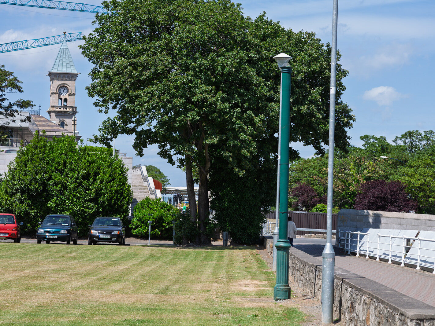
The dlr LexIcon: Opened in 2014, this landmark central library and cultural centre sits as an imposing red-brick and granite presence on the skyline, anchoring cultural activity and knitting Moran Park back into the seafront promenade.

Revitalised People’s Park: Comprehensively restored, the Victorian tea rooms were reopened, gardens refreshed, and its Sunday farmers’ market turned into one of south Dublin’s premier weekend food destinations.

The Metals and Active Travel: The historic route connecting the quarries at Dalkey to the harbour (“The Metals”) was upgraded with dedicated pedestrian and cycle paths, tying directly into the Coastal Mobility Route (CMR)—a segregated coastal cycle route that transformed sustainable transport across the seafront.

End of the Ferries: Stena Line permanently discontinued service in 2014. The old ferry terminal ceased industrial operations and transitioned into an incubation hub and enterprise space (the Harbour Innovation Campus), ending the roar of roll-on/roll-off traffic.

Expected and Planned Changes

The town’s development trajectory is moving away from motor-led infrastructure towards climate resilience, harbour access, and urban regeneration.
Dún Laoghaire Harbour Masterplan: Led by Dún Laoghaire-Rathdown County Council and an international architectural consortium, the “Living Harbour” framework aims to reimagine roughly 50 acres of land and 200 acres of water. Plans focus on opening restricted quayside areas to the public, fostering water-sports hubs, expanding floating pontoons, and building climate resilience.

Reconnection of Town and Sea: Future capital schemes aim to narrow visual and physical road divides, creating continuous pedestrian plazas from George’s Street down through Marine Road directly onto the piers.

Potential Seawater Pool: While the restored Baths omitted an enclosed pool, structural foundations and an open void were preserved under the lower plaza to allow a tidal or heated outdoor seawater swimming pool to be built in a future phase.

Urban Living & Heritage Infill: Ongoing local development plans focus on converting upper-floor commercial buildings into residential apartments and regenerating brownfield plots around the harbour edges to repopulate the town core.
Filed Under: Dun Laoghaire, Photonique, Streets Of Ireland, The Urban Cartographer, William Murphy Tagged With: 23 June 2006, Canon 24-105mm F4, Canon 5D, dlr LexIcon, Dublin Bay photography, Dublin coastal walks, Dun Laoghaire Baths restoration, Dun Laoghaire Harbour Masterplan, Dun Laoghaire regeneration, Dun Laoghaire seafront, East Pier promenade, Infomatique, People's Park Dun Laoghaire, Photonique, South Dublin urban renewal, The Urban Cartographer, William Murphy

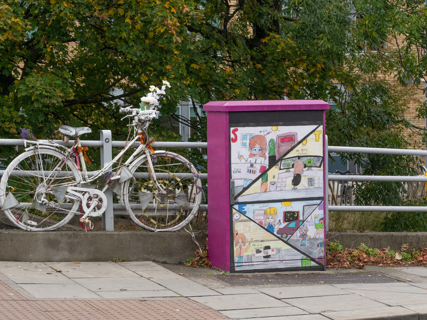
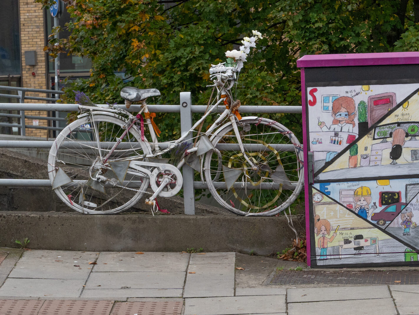
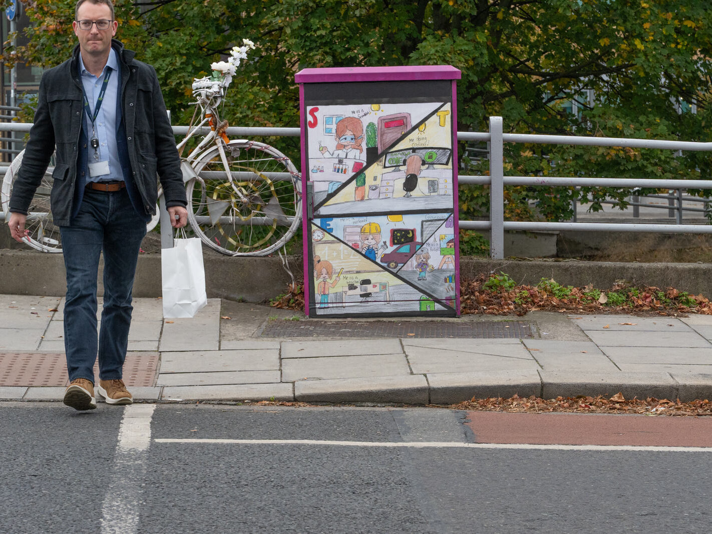
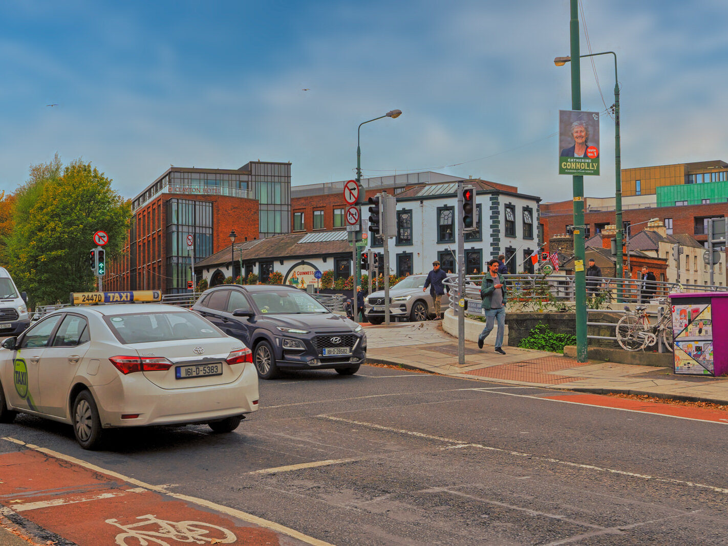
THIS GHOST BIKE IS NEAR THE CHARLEMONT TRAM STOP – UNFORTUNATELY THE SUBJECT OF THE MEMORIAL IS CURRENTLY UNKNOWN

October 15, 2025 by infomatique

PHOTOGRAPHED 14 OCTOBER 2025


The Ghost Bikes of the Grand Canal: A Tale of Two Bridges

Along the Grand Canal, near the Charlemont Luas stop, a ghost bike stands as a silent, poignant sentinel. Painted stark white, it’s a memorial to a cyclist whose life was cut short. When I first photographed it, I wanted to learn the story behind it, to honour the individual it represents. However, finding a clear answer proved difficult, uncovering a web of confusion that tangles together different locations, names, and tragedies along the canal.

This post is an attempt to untangle that story, to clarify the facts, and to correctly honour the memories that these powerful symbols represent.

Two Bridges, Widespread Confusion

Much of the confusion stems from two separate bridges over the Grand Canal:

Robert Emmet Bridge: This bridge is much more widely known by its local name, Harold’s Cross Bridge. It carries Harold’s Cross Road over the canal.

Charlemont Bridge: This is a distinct bridge about 1.5 km to the east, connecting Charlemont Street and Ranelagh Road.

A common mistake is to conflate the two, with some sources incorrectly referring to “Charlemont Bridge (now Emmet Bridge)”. They are, and always have been, two different structures. This geographical mix-up is the foundation for the other misplaced stories.

The Known Memorial: Zu Zhang Wong at Harold’s Cross

There is a well-documented and long-standing ghost bike at Robert Emmet Bridge (Harold’s Cross Bridge). This memorial is for Zu Zhang Wong.

On 14 January 2009, Mr. Wong, a 27-year-old Chinese national, was cycling to work when he was struck and killed by a cement truck at the junction. A month later, with his family’s permission, the Dublin Cycling Campaign installed the city’s first ghost bike in his memory.

For years, it stood as a powerful reminder of the dangers cyclists face. In 2016, it was controversially removed by the council, mistaken for an abandoned bicycle. Following a public outcry from the cycling community, a group of volunteers organised its reinstatement, and in February 2018, the memorial to Zu Zhang Wong was rightfully returned to its place.

A Separate Tragedy: The Case of Louise Butler

In trying to identify the Charlemont ghost bike, another name is often incorrectly mentioned: Louise Butler. This is a heartbreaking but separate tragedy that has been mistakenly linked to the canal memorials.

Louise Butler, 26, was tragically killed on 15 August 2013. However, her accident occurred at the junction of Frascati Road and Carysfort Avenue in Blackrock—a coastal suburb nearly 7 kilometres away from the Grand Canal. She was struck by a lorry while cycling to work.

While the circumstances were sadly similar to other incidents, her death is not connected to any ghost bike on the Grand Canal. The conflation of her story with these memorials is a common but incorrect assumption, likely arising from the passage of time and the merging of details in public memory.

The Unsolved Memorial at Charlemont

This brings us back to the original photograph—the ghost bike at Charlemont.

Despite the confusion with other memorials, this bike stands as its own distinct tribute. Some online sources have claimed it commemorates a cyclist killed in 2017. However, a review of official records and news archives from that year shows no reported cyclist fatalities at or near Charlemont Bridge.

The story of this specific memorial remains elusive. It is a stark reminder that behind every ghost bike is a personal tragedy, a family shattered, and a story that deserves to be told and remembered correctly. While we can clarify the known facts about the memorials at Harold’s Cross and Blackrock, the identity of the cyclist remembered at Charlemont remains, for now, a mystery. What is not a mystery is the urgent message it sends—a silent plea for safer streets for everyone.


Filed Under: 2025, Ghost Bike, Memorial, Sony FX30 Tagged With: Charlemont, Cycling Safety, Dublin, Dublin Cycling, Ghost Bike, Grand Canal, Harold's Cross, Infomatique, Louise Butler, Memorial, Photo Blog, Photonique, Road Safety, Robert Emmet Bridge, Sony FX30, William Murphy, Zu Zhang Wong

THE AREA IMMEDIATE TO HAROLD’S CROSS BRIDGE

October 15, 2025 by infomatique

PHOTOGRAPHED 14 OCTOBER USING A SONY FX30


As my F30 camera reset during a firmware update some of the photographed may be incorrectly date stamped 01-01-2022.

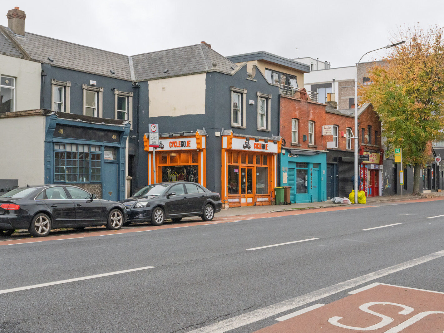
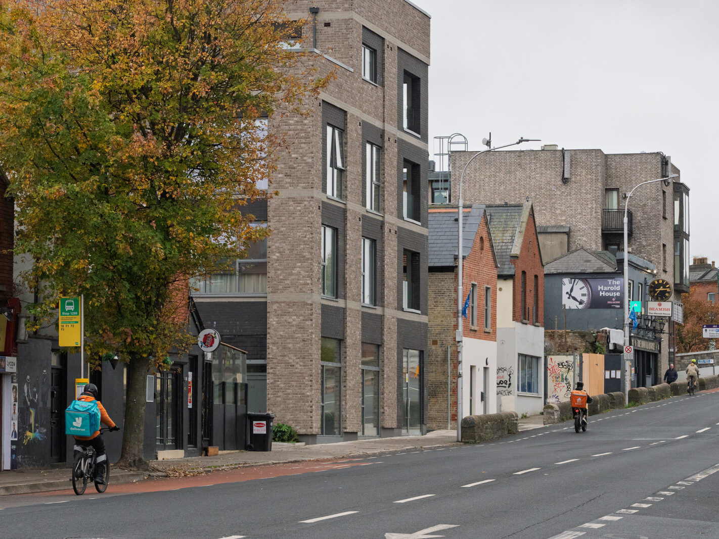
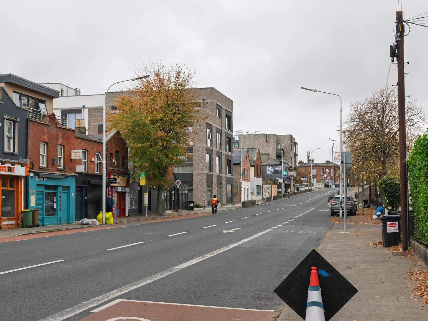
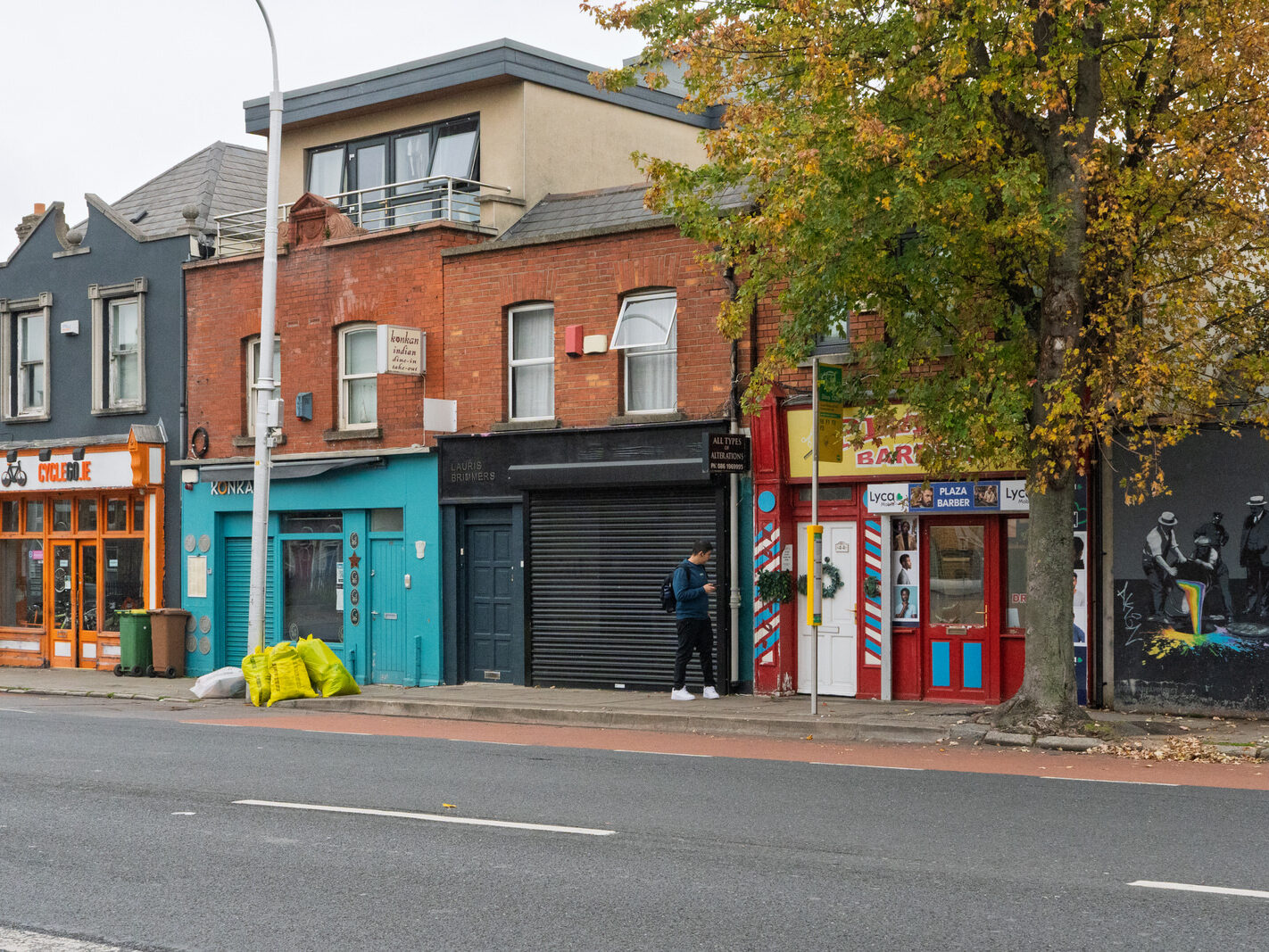
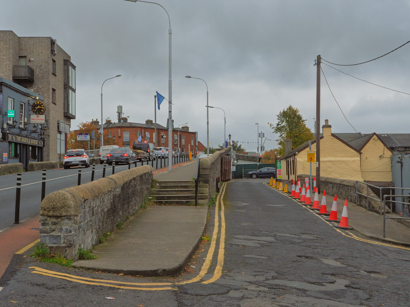
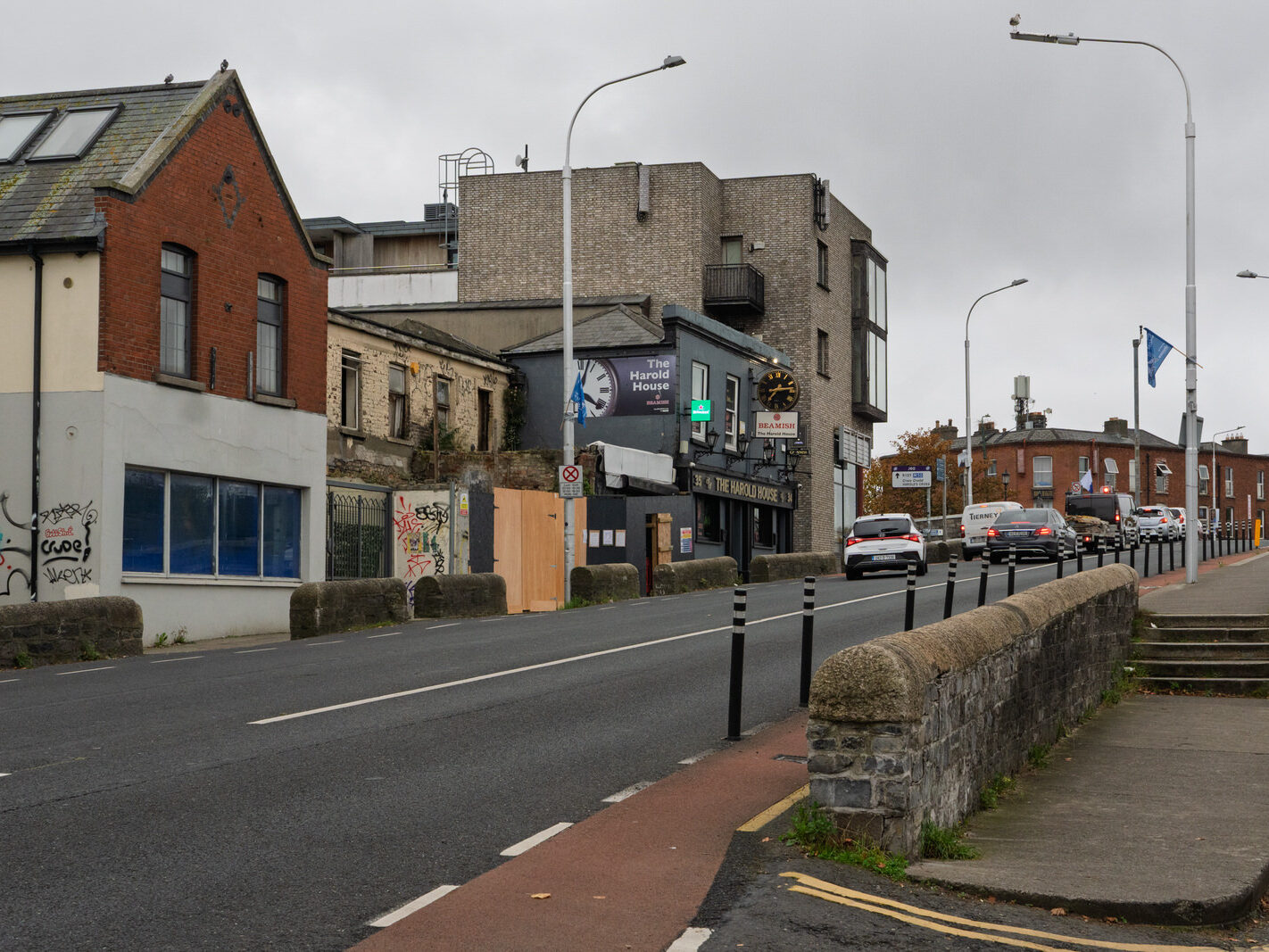
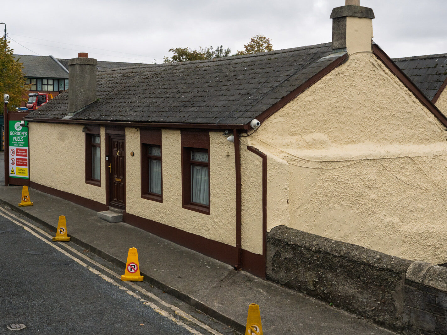
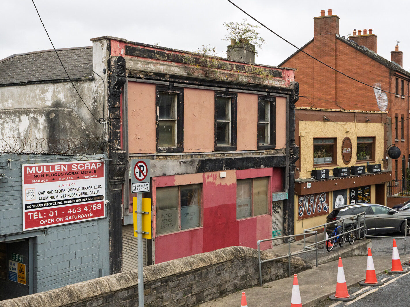
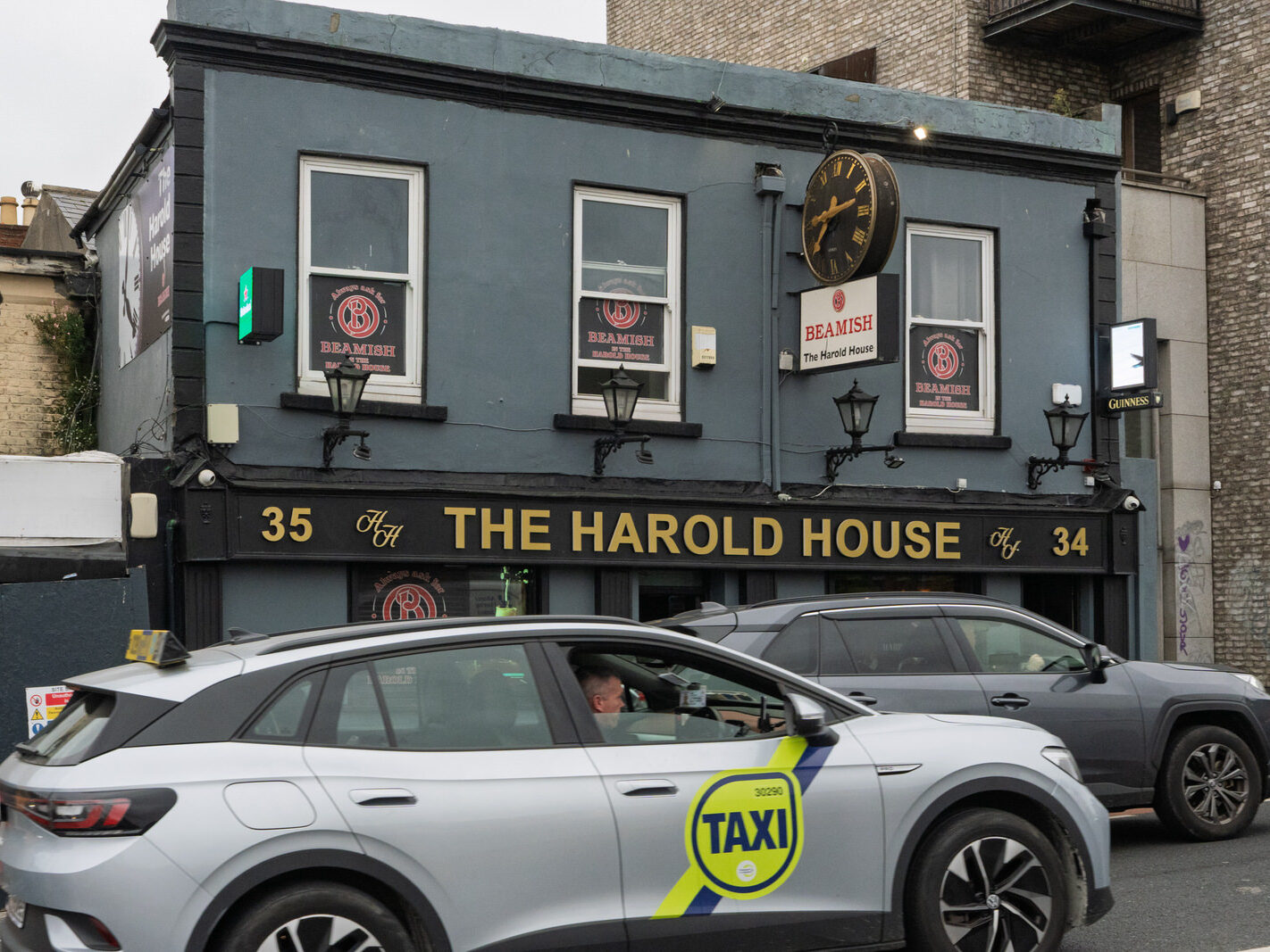
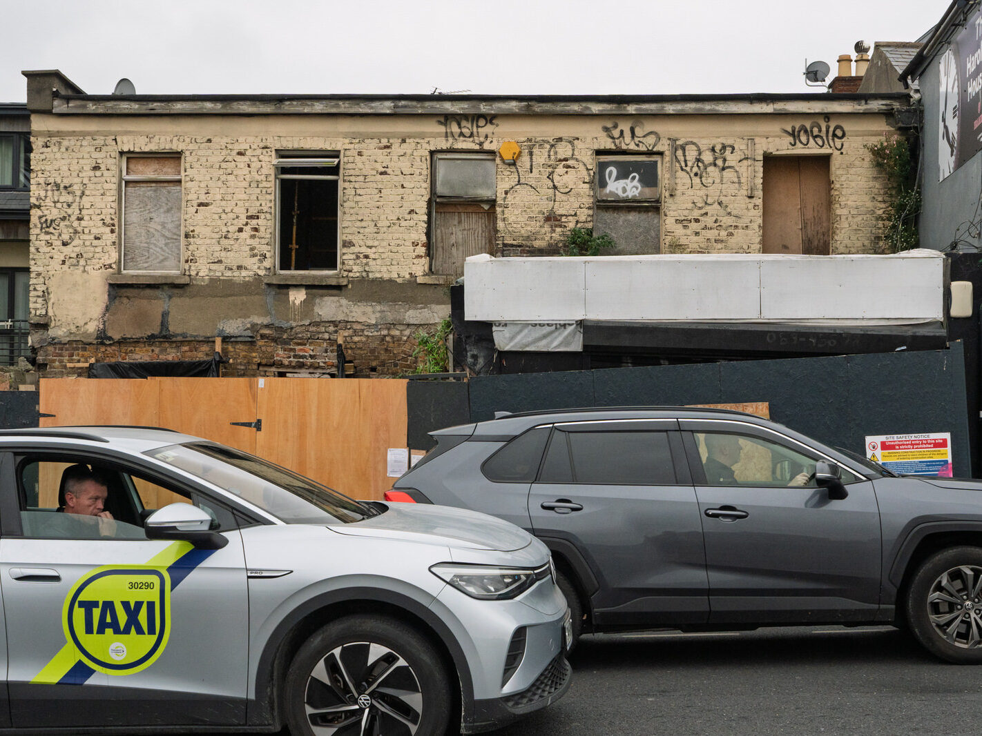
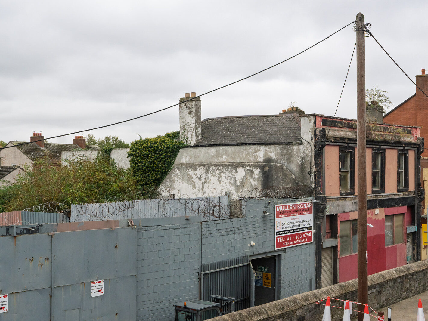
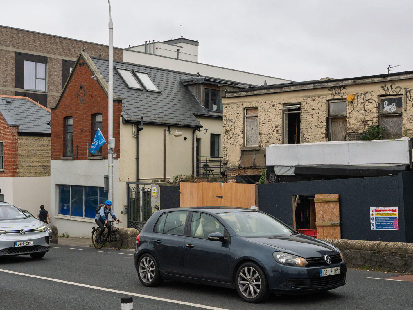
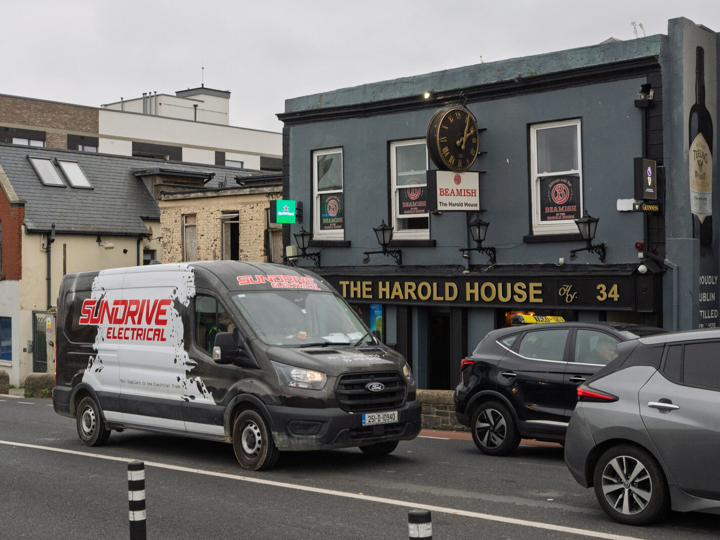
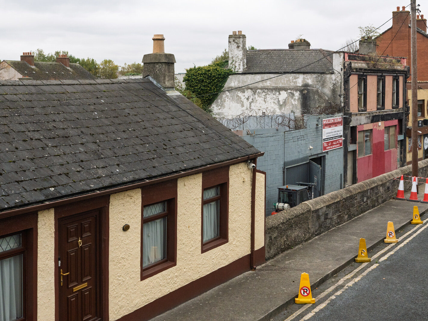
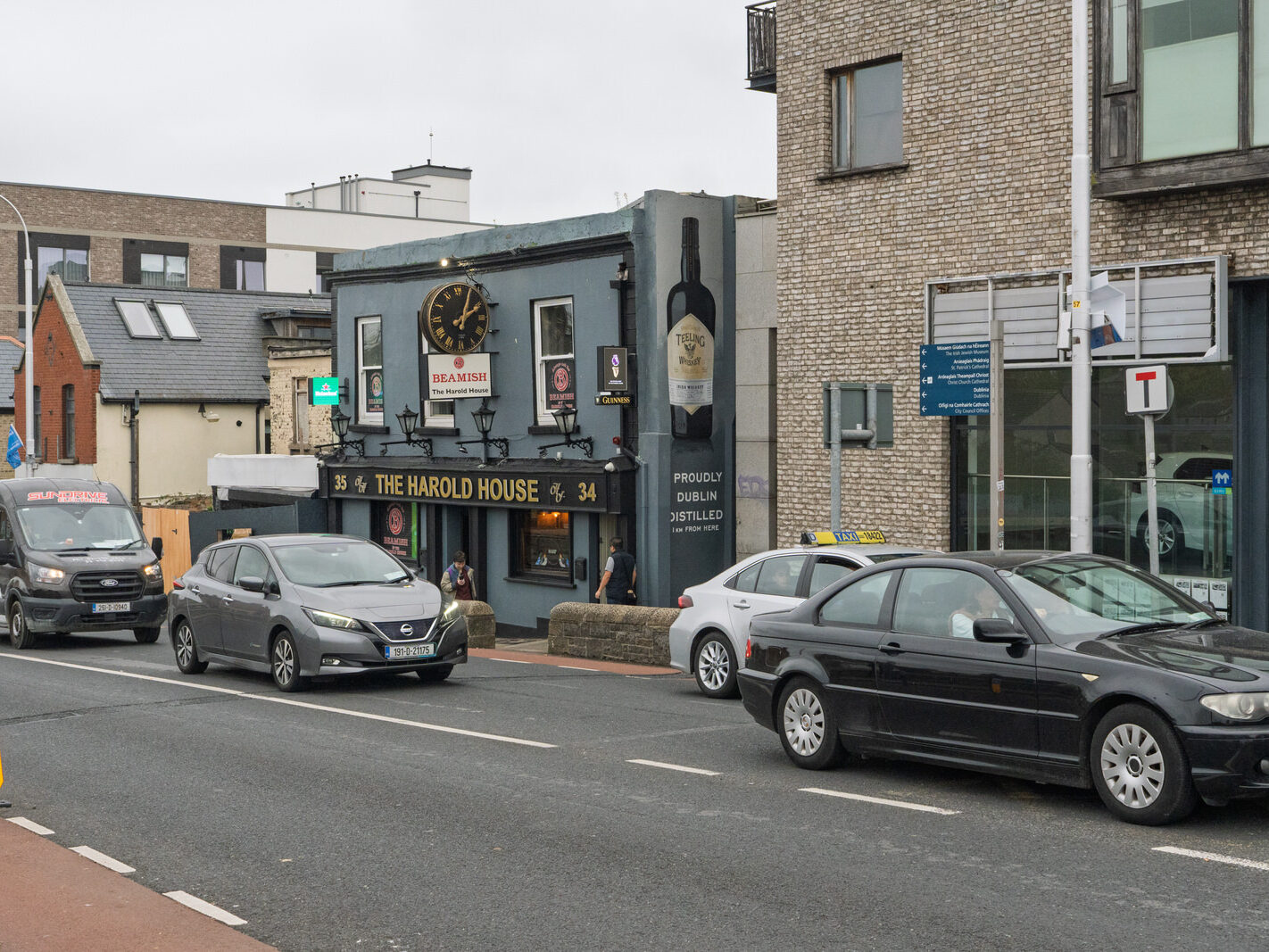
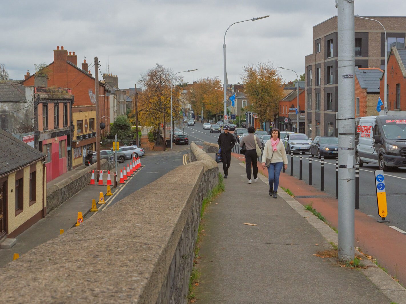
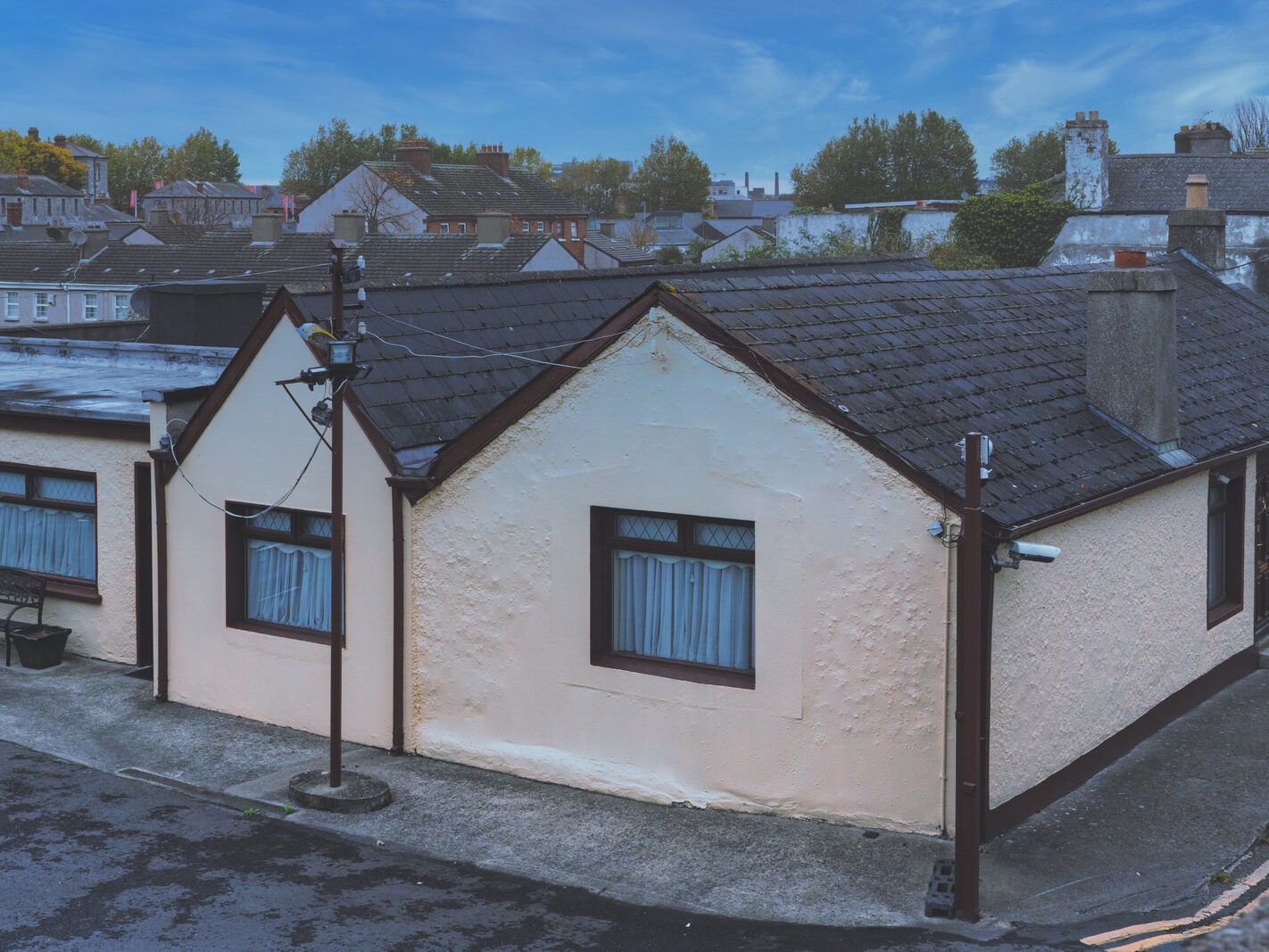
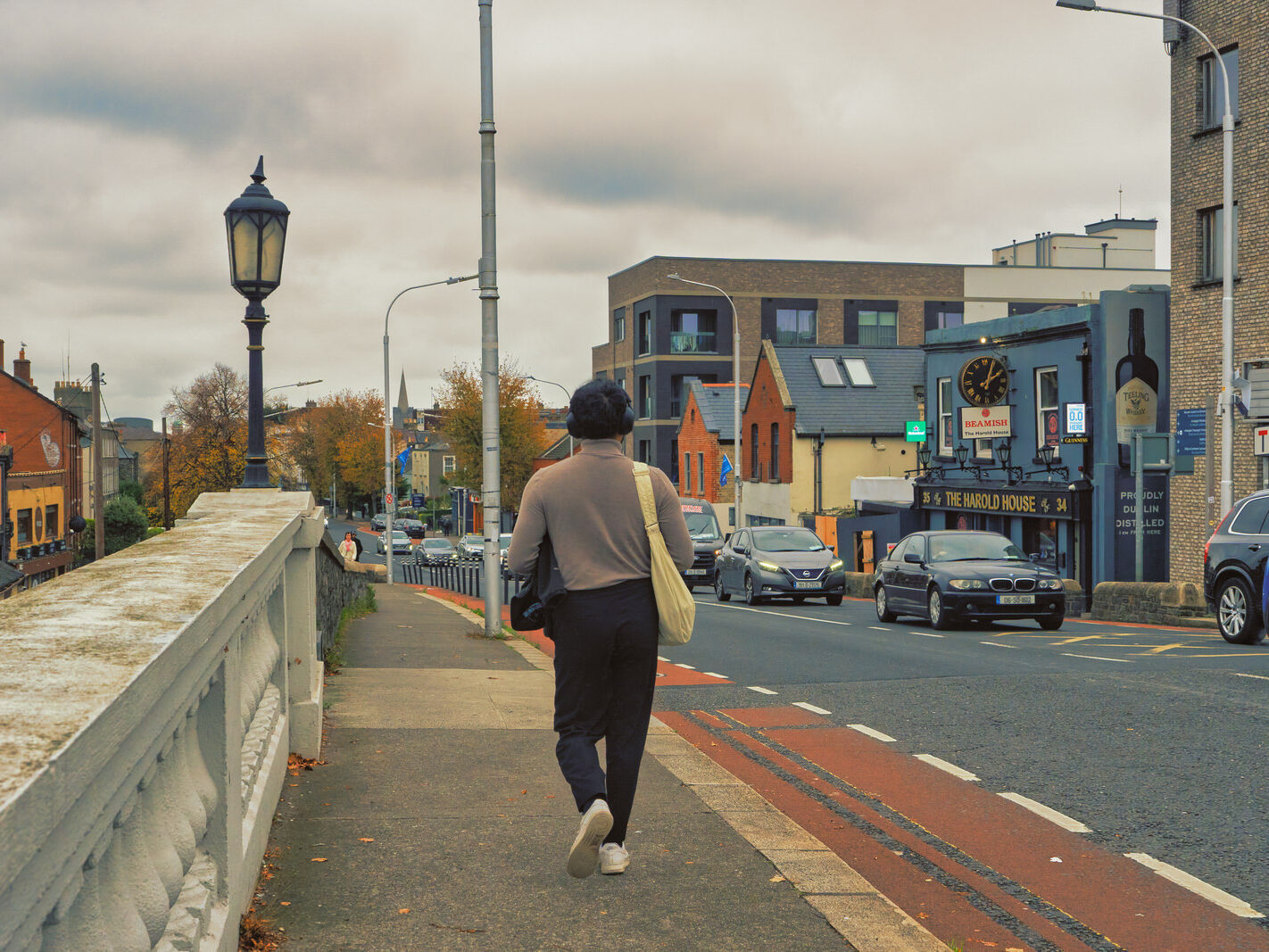
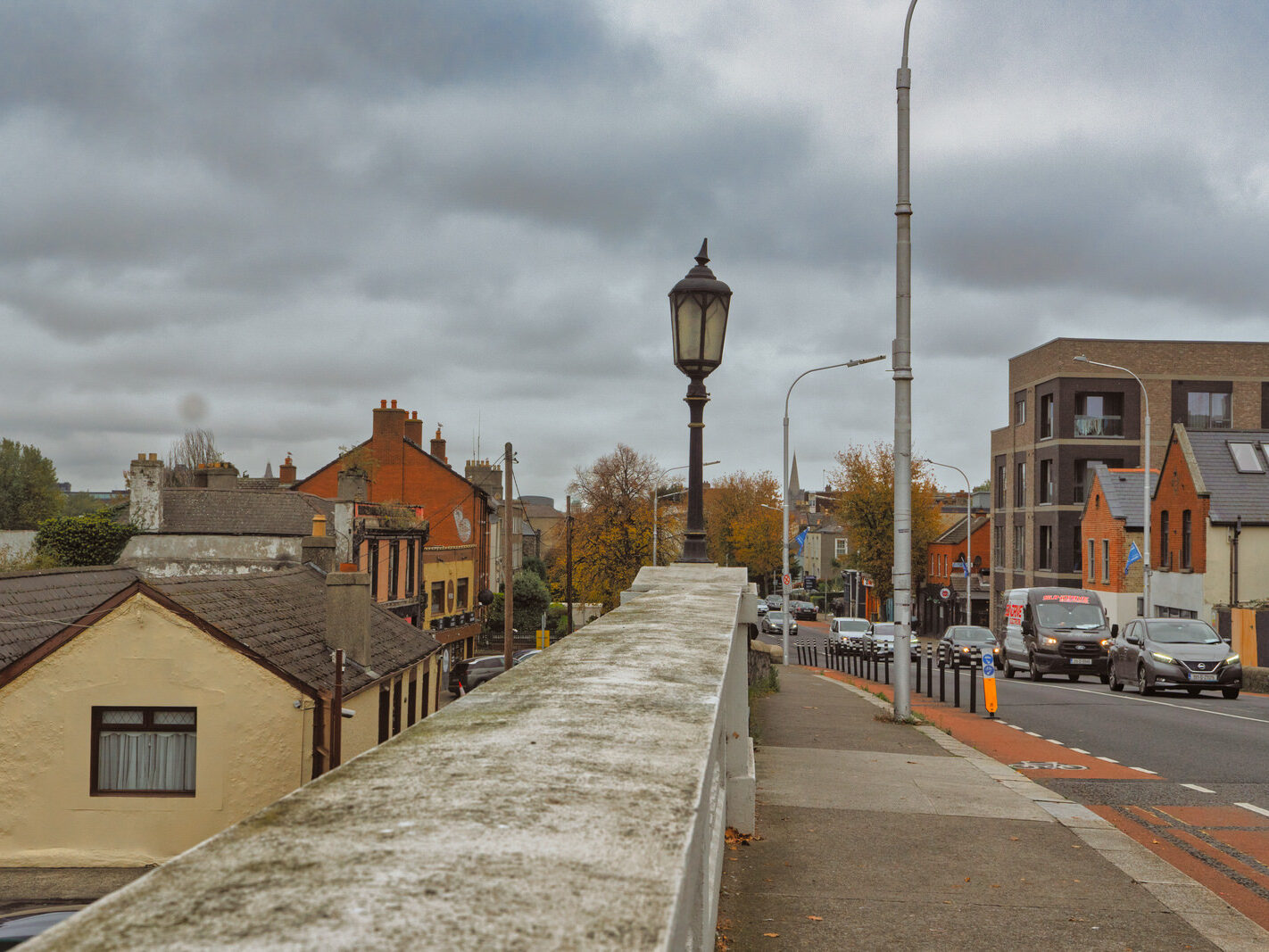
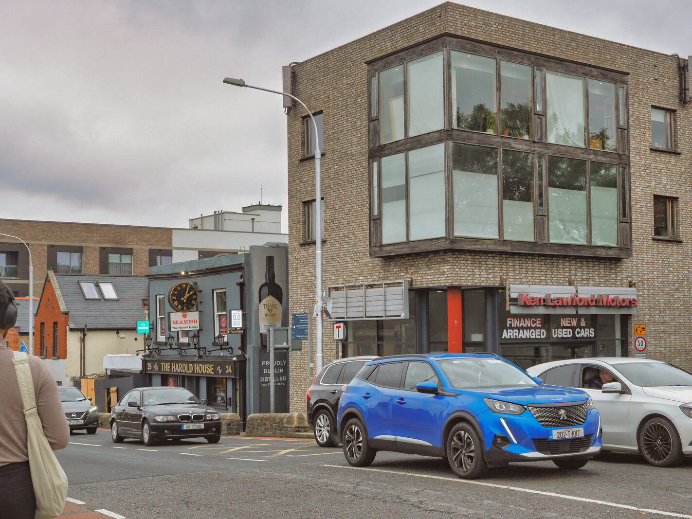
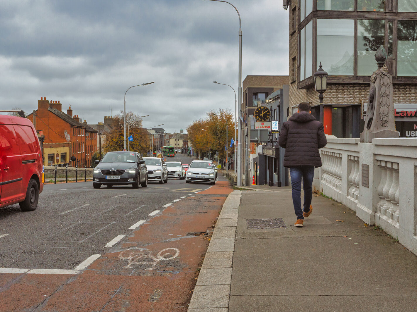
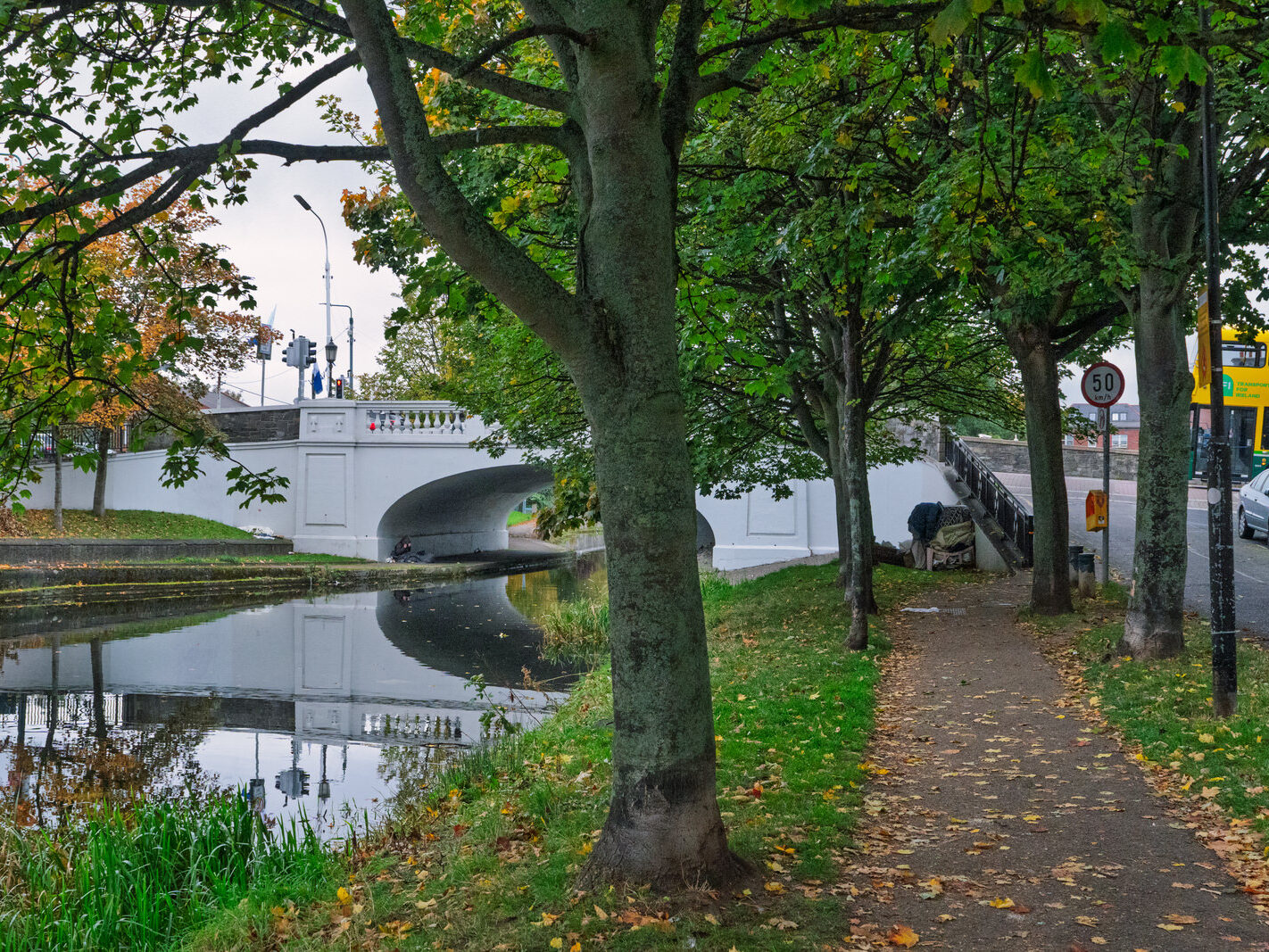
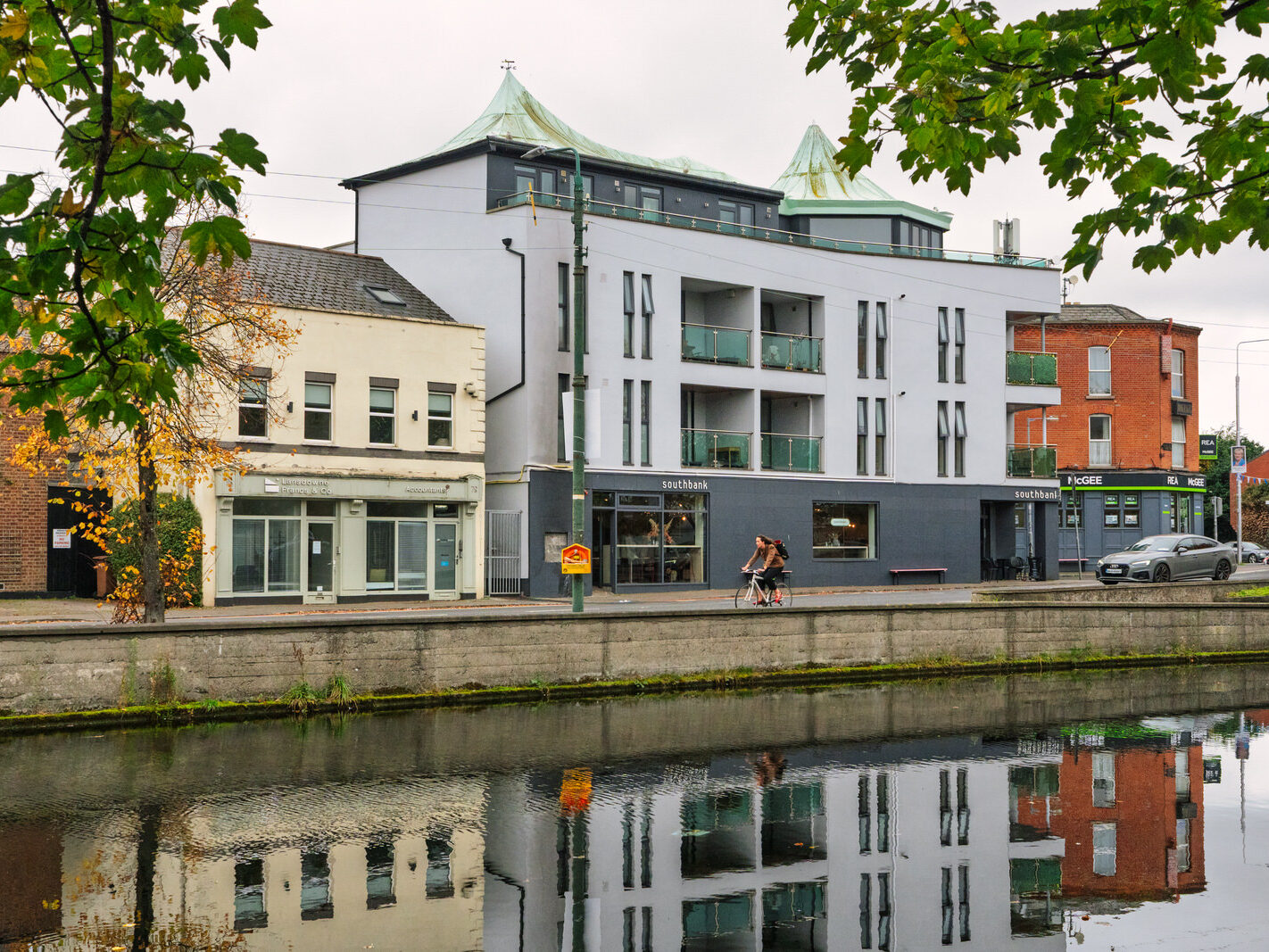
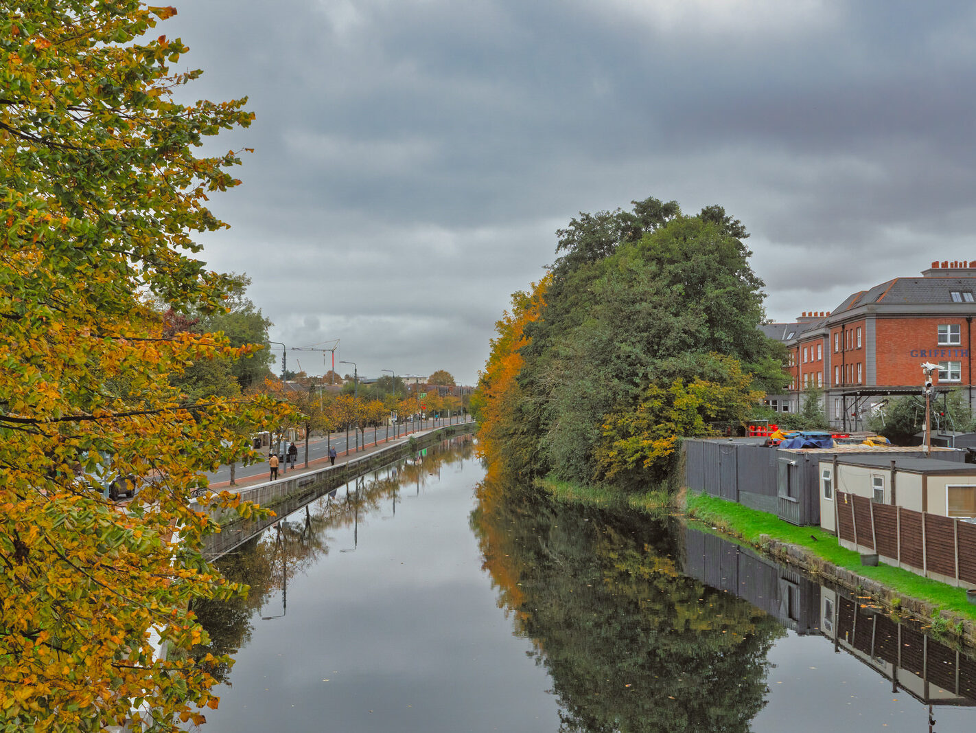
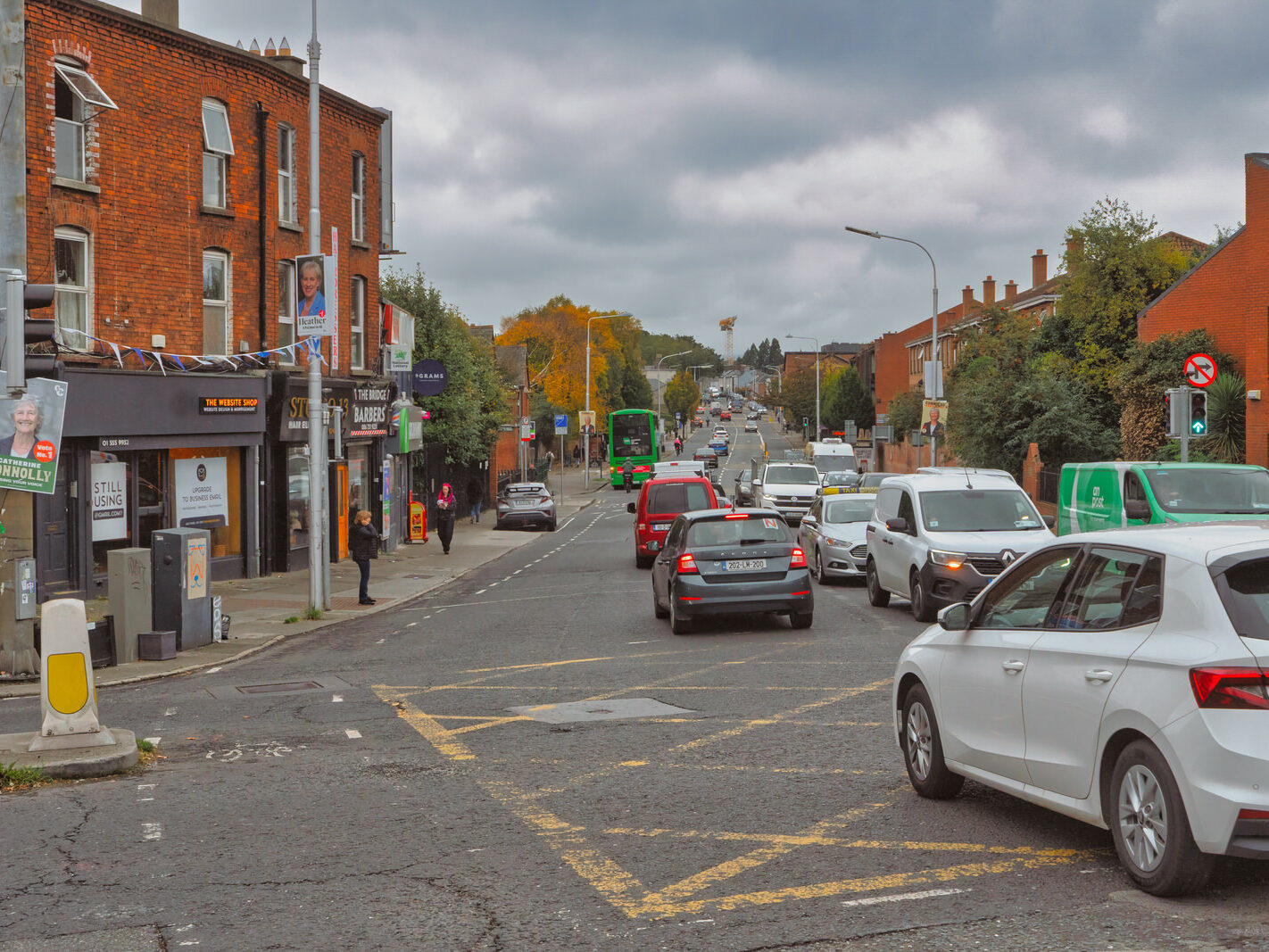
The area immediately surrounding Harold’s Cross Bridge in Dublin is a vibrant neighbourhood with a rich history, though it has also faced challenges with derelict properties. However, significant changes are on the horizon, including major residential developments and a revamping of the local bus services.

The Harold’s Cross Bridge Area and Derelict Property

Harold’s Cross is a bustling residential area known for its blend of old-world charm and modern amenities. It boasts numerous cafes, bars, and green spaces, making it an attractive place to live. Despite its appeal, the area, particularly along Harold’s Cross Road, has been marked by a number of derelict houses.

The reasons for this are complex and multifaceted, reflecting a broader issue in Dublin. They can include:

Economic Factors: The economic downturn of 2008/09 stalled many redevelopment plans, leaving some properties in limbo.

Complex Ownership: Issues such as deceased owners and complicated probate can lead to properties being left vacant and falling into disrepair for extended periods.

Renovation Costs: Some properties are in such a state of disrepair that the cost of renovation is prohibitive for potential buyers or the local council under certain government schemes.

Planning and Development Issues: Restrictive planning regulations and difficulties in acquiring adjacent plots for larger-scale redevelopment can also contribute to properties remaining derelict.

However, there is a significant push for rejuvenation. A large-scale residential development called “Harold’s Bridge Court” has been approved, which will see the demolition of existing buildings to make way for 181 new dwellings, retail units, a crèche, and community spaces. This is a clear indicator of the area’s ongoing transformation.

A Bridge Steeped in History

The original bridge over the Grand Canal at Harold’s Cross was constructed in 1790. The current structure, however, was rebuilt in 1936 and officially named the Robert Emmet Bridge. This was to honour the Irish nationalist leader who was captured nearby in 1803 following his failed rebellion against British rule. A plaque on the bridge commemorates him.

The name “Harold’s Cross” itself has a fascinating history with a couple of possible origins:

A Boundary Marker: One theory suggests it comes from a cross erected in medieval times to mark the boundary of lands owned by the Archbishop of Dublin, warning the local Harold clan not to encroach.

A Gallows Site: Another explanation is that it was named after a gallows that once stood in the area, which was an execution ground for Dublin until the 18th century.

The area played a significant role in Irish history, serving as a meeting point for the United Irishmen before the 1798 and 1803 rebellions.

BusConnects: A New Era for Public Transport

The bus services in Harold’s Cross are set for a major overhaul with the implementation of Phase 7 of the BusConnects Network Redesign, centred on the new F-Spine. This is scheduled to launch on Sunday, 19 October 2025.

Key changes for the Harold’s Cross area include:

New Route F3: This new spine route will directly replace the current route 9, serving key locations such as Kimmage, Harold's Cross, and Clanbrassil Street to Leonard's Corner.

Discontinuation of Route 54a: This route will be replaced by the new route 82, which will run every twenty minutes.

Increased Frequency and 24-Hour Services: The overall BusConnects plan aims to provide more frequent services, especially during off-peak hours and weekends, with some spine routes like the F1 and F2 operating 24 hours a day.

These changes are part of a wider strategy to create a more efficient and user-friendly bus network for the entire Dublin region.

A Site in Transition

The location currently known as Harold’s Bridge Court is an existing complex of low-rise residential buildings and a warehouse. The approved plans call for the demolition of all current structures on the site. This includes:

Four three-storey duplex residential buildings (comprising 48 dwellings).

Two single-storey detached dwellings.

Three two-storey houses on Clare Villas.

An existing warehouse.

Boosting Urban Density

In their place, a new, large-scale residential development is planned. This new “Harold’s Bridge Court” will consist of:

181 new dwellings, a significant increase from the existing 53 homes.

These will be a mix of studio, one, two, and three-bedroom apartments.

The new buildings will be significantly taller, ranging from three to seven storeys in height.

This project is a clear example of urban redevelopment aimed at increasing housing density in a well-located area. The goal is to make more efficient use of the land to provide a greater number of homes in a popular Dublin neighbourhood.

timelines and Planning

It’s important to note that this development has been in the planning stages for a number of years, with previous applications being refused. However, the most recent proposal for the 181 dwellings was granted permission in June 2024, paving the way for the redevelopment to proceed. Therefore, while it is a confirmed future development, construction has not yet been completed.


Filed Under: Grand Canal, Harold's Cross, Harold's Cross Bridge, Public Transport, Sony FX30, South Of The River Tagged With: 14 October 2025, BusConnects, Derelict Property, Dublin, F-Spine, Grand Canal, Harold's Cross Bridge, Infomatique, Irish History, Photonique, public transport, Robert Emmet, Sony FX30, Urban Renewal, William Murphy

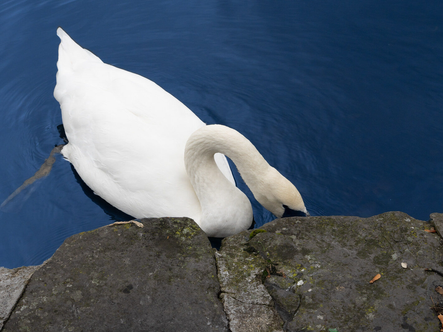
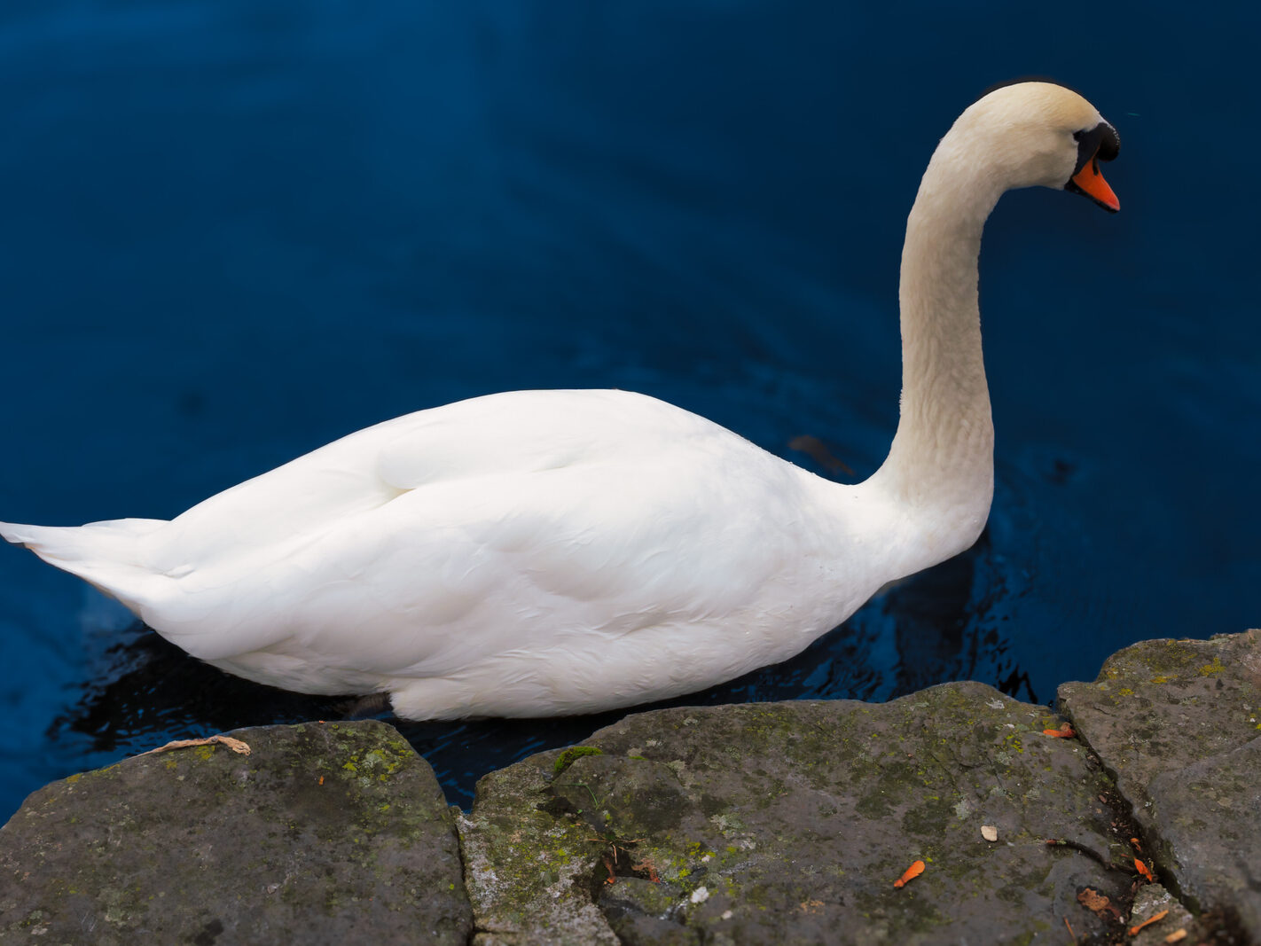
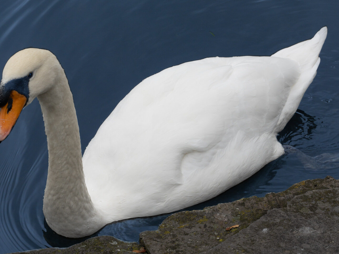
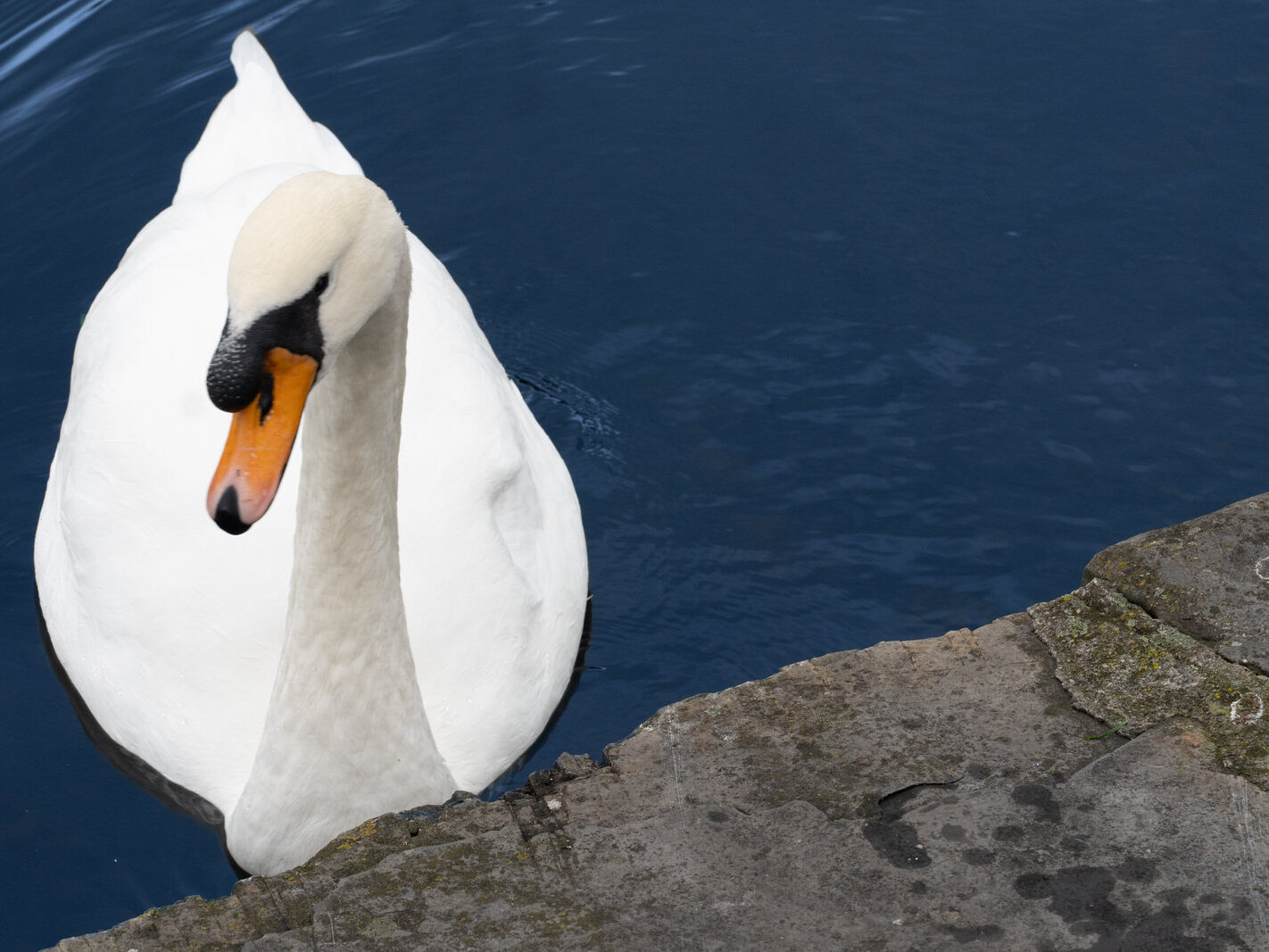
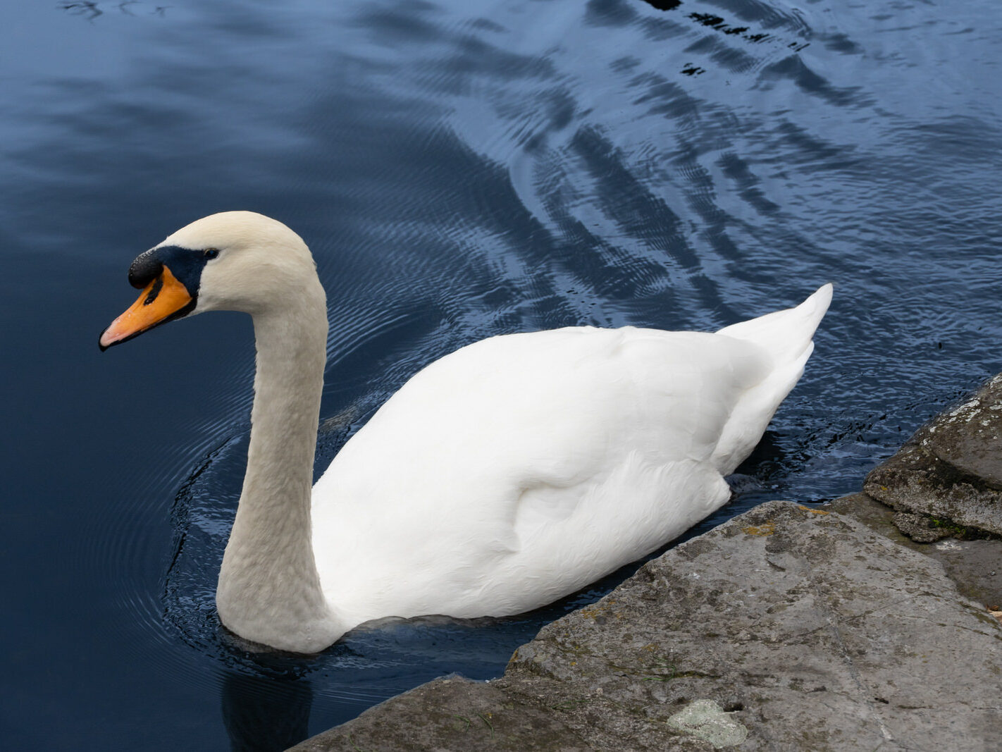
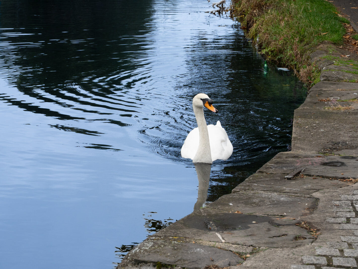
THIS SWAN WAS EXPECTING TO BE FED – PORTOBELLO HARBOUR IN DUBLIN

October 14, 2025 by infomatique

PORTOBELLO HARBOUR


Ireland is home to a native swan species and plays host to two migratory species that grace its wetlands during the winter months. While feeding these elegant birds is a popular pastime, it is crucial to understand the potential harm caused by inappropriate food, particularly bread.

Native and Migratory Swans in Ireland

Ireland’s swan population is comprised of one resident species and two winter migrants:

The Mute Swan (Cygnus olor): This is Ireland’s only native swan species and can be found in waterways and coastal areas throughout the year. They are easily recognizable by their bright orange bill with a prominent black knob at the base. While they are year-round residents, their numbers can be supplemented by individuals migrating from Britain and Europe during the winter.

The Whooper Swan (Cygnus cygnus): A migratory species, the Whooper Swan travels from its breeding grounds in Iceland to spend the winter in Ireland. They are a spectacular sight, often arriving in large flocks from October and departing in April. They are distinguishable from Mute Swans by their yellow and black bill, which lacks the prominent knob.

The Bewick’s Swan (Cygnus columbianus bewickii): This is the smallest of the three swan species found in Ireland and is also a winter migrant. They journey from their breeding grounds in Arctic Russia. However, their numbers have been declining in Ireland in recent years. They have a similar yellow and black bill to the Whooper Swan, but the yellow patch is smaller.

The Dangers of Feeding Bread to Swans

While the tradition of feeding bread to swans is well-intentioned, it can be detrimental to their health and the wider ecosystem for several reasons:

Nutritional Deficiencies: Bread, especially white bread, is low in the essential nutrients that swans require. A diet heavy in bread can lead to malnutrition and health problems.
“Angel Wing”: This condition, where the last joint of the wing twists outwards, is often linked to a high-calorie, low-nutrient diet, which can be caused by excessive bread consumption, particularly in young, growing swans (cygnets). This can render them flightless.

Water Pollution: Uneaten bread rots in the water, which can lead to an increase in algae. This process depletes oxygen in the water, harming fish and other aquatic life.
Attraction of Pests: Leftover bread can attract rodents and other pests, creating unsanitary conditions.

Spread of Disease: Mouldy bread can be harmful to swans, and a congregation of birds in one area to feed can facilitate the spread of diseases.

What to Feed Swans Instead

If you wish to feed swans, it is best to offer them foods that are closer to their natural diet. Here are some healthier alternatives:

Grains: Wheat, corn, and oats are excellent choices.

Vegetables: Chopped lettuce, spinach, and peas are all suitable.

Specialist Waterfowl Food: Many pet stores and bird food suppliers sell specially formulated pellets for swans and ducks that float on the water.

When feeding swans, it is important to throw the food into the water to avoid encouraging them to come onto the bank, which can be dangerous for them. It is also crucial to only provide as much food as they can consume in a short period to prevent waste and pollution.


Filed Under: 2025, Grand Canal, Portobello, Sony FX30, Swan Tagged With: angel wing, Bewick's Swan, birdwatching Ireland, Cygnus cygnus, Cygnus olor, feeding swans, Infomatique, Irish wildlife, migratory birds, Mute Swan, native swans, Photonique, Sony FX30, Swans in Ireland, what to feed swans, Whooper Swan, William Murphy

A WALK ALONG WINDSOR TERRACE IN PORTOBELLO

October 14, 2025 by infomatique

I USED A SONY FX30 CAMERA


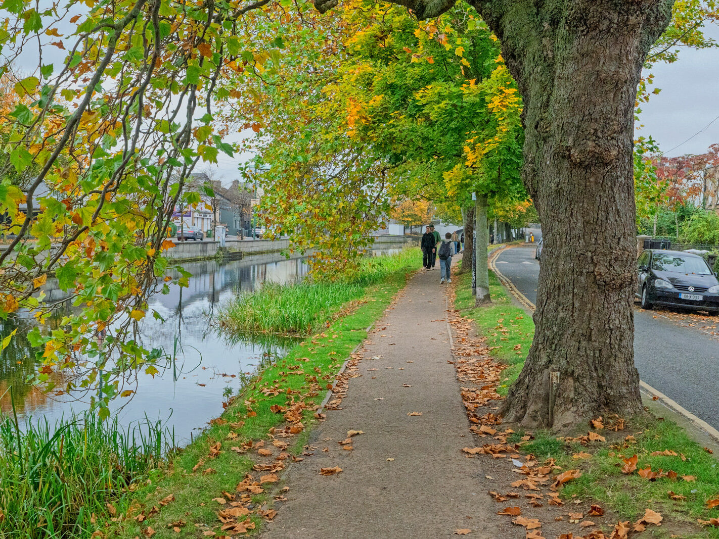
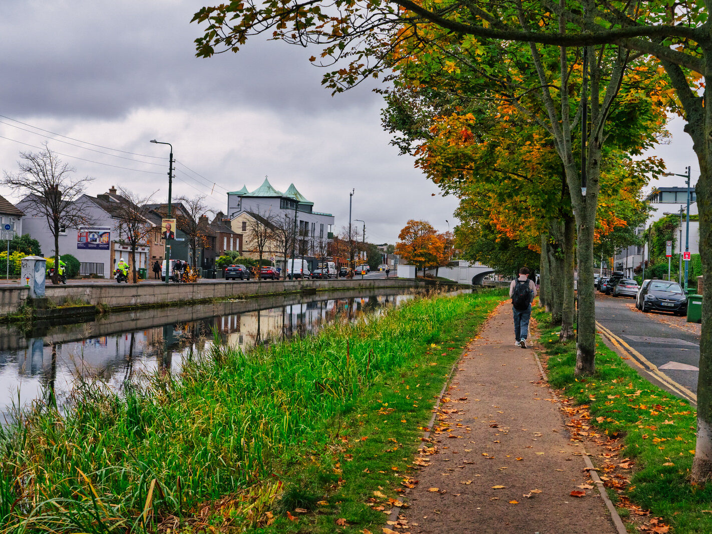
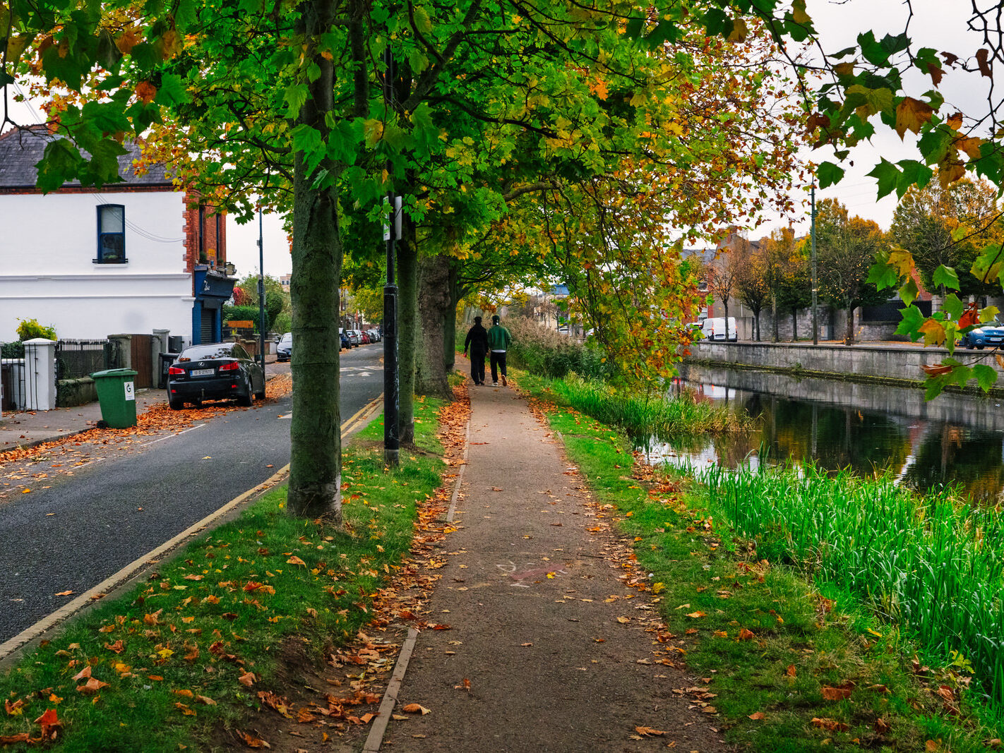
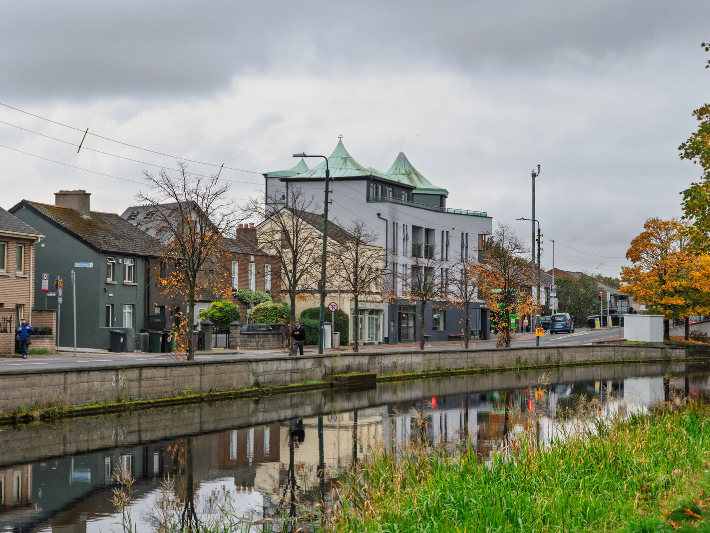
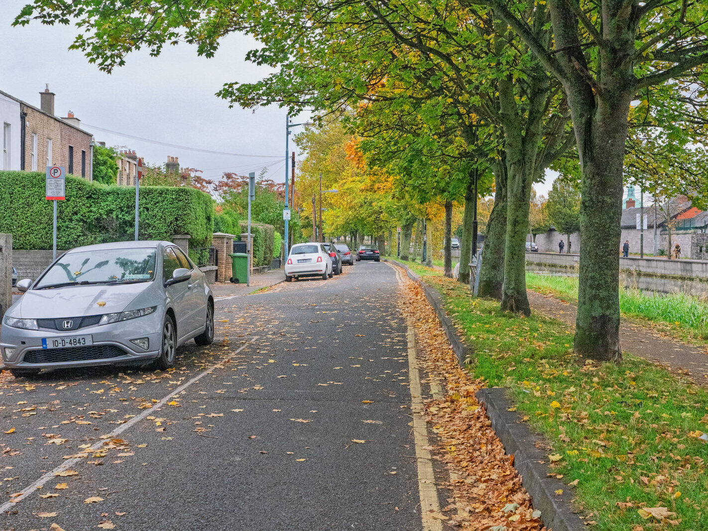
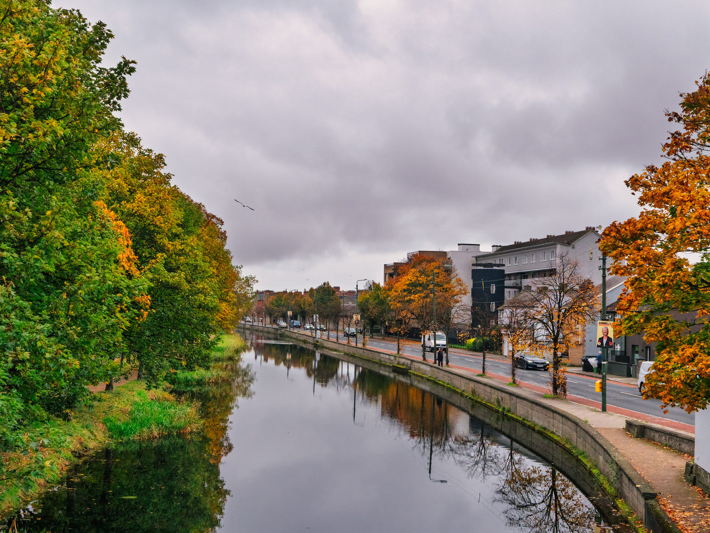
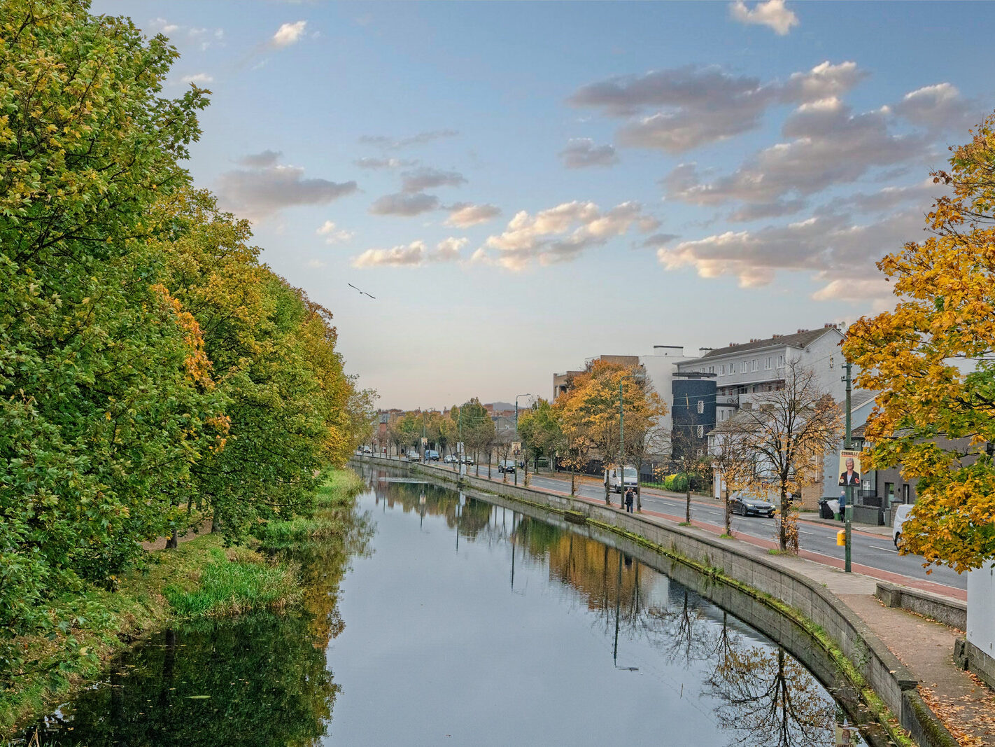
Windsor Terrace, nestled in the heart of Dublin’s vibrant Portobello district, is a handsome Victorian streetscape offering picturesque views of the Grand Canal. This sought-after residential area is characterised by its period architecture, rich history, and proximity to the city centre.

A Glimpse into the Past

The development of Windsor Terrace is intrinsically linked to the expansion of Dublin in the 19th century and the construction of the Grand Canal, which was completed in 1797. The canal spurred residential development in the surrounding areas, and streets like Windsor Terrace were laid out in the early 1800s. The houses, built circa 1845, were speculative ventures, resulting in charming groupings of similar, yet not identical, terraced homes.

The broader Portobello area has a fascinating history. In the late 19th and early 20th centuries, it became the heart of Dublin’s Jewish community, earning it the nickname “Little Jerusalem.” This cultural heritage adds another layer to the rich tapestry of the neighbourhood.

Architectural Charm

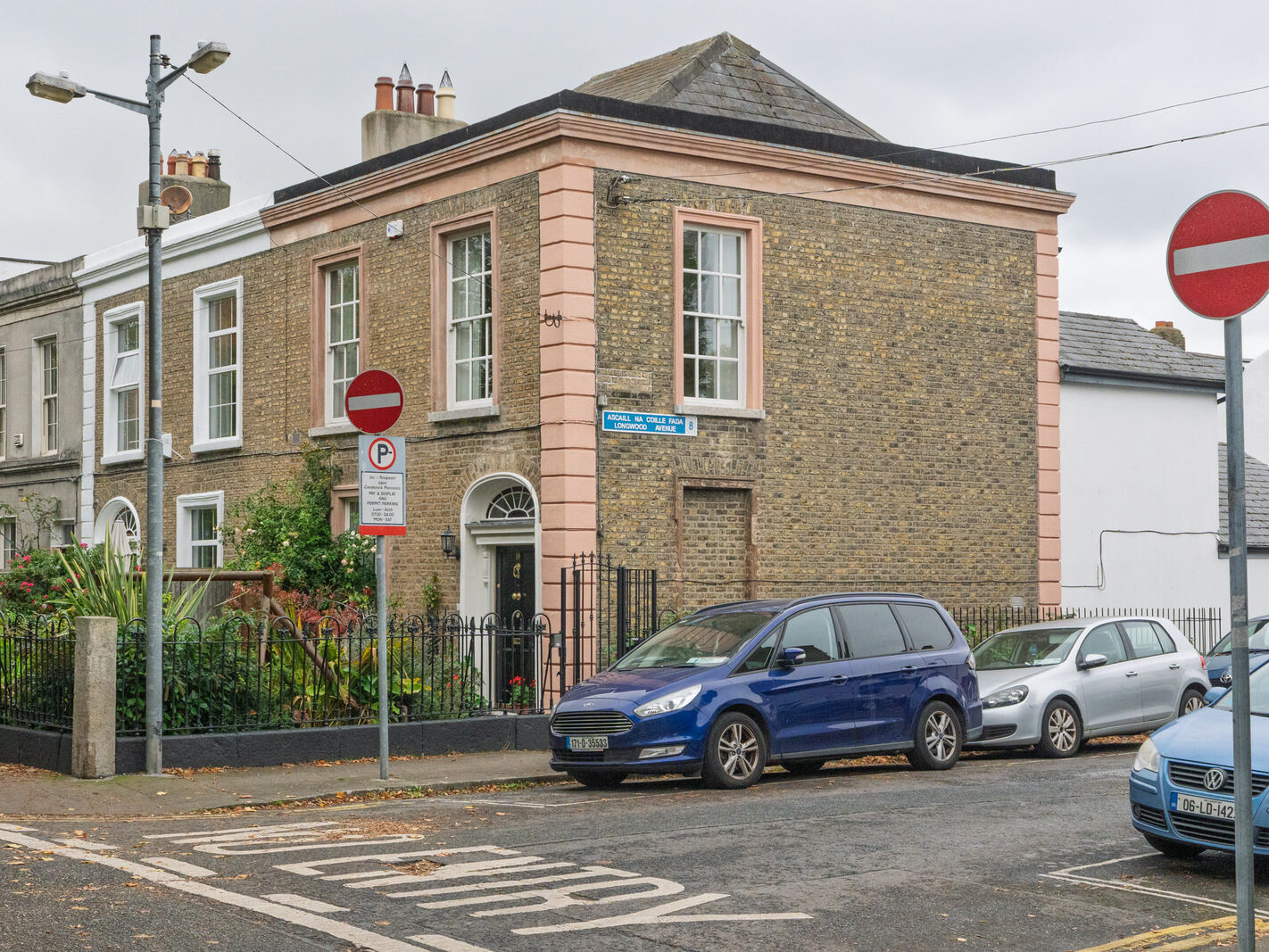
The houses on Windsor Terrace are predominantly two-storey Victorian residences, many of which retain their original period features. These include handsome brickwork, intricate ceiling coving, original fireplaces, and large sash windows that flood the interiors with natural light. The restrained yet elegant facades are often enhanced by decorative fanlights over the doors and cast-iron railings enclosing the front gardens. Many of these properties have been lovingly maintained and, in some cases, modernised to blend period elegance with contemporary living.

Life in Portobello

Today, Windsor Terrace is a prime residential location within the fashionable Portobello neighbourhood. Its tranquil setting along the canal offers a peaceful retreat from the hustle and bustle of the city, while still being just a short stroll from the vibrant amenities of areas like Camden Street.

The locality boasts a thriving social scene with a wide array of independent cafés, acclaimed restaurants, and traditional pubs. The Grand Canal provides a scenic backdrop for leisurely walks and a cherished local amenity. The area is well-served by public transport, making it an ideal location for those who wish to enjoy the best of city living in a characterful and historic setting.

Notable Connections

While specific famous residents of Windsor Terrace itself are not widely documented, the broader Portobello area has been home to many notable figures, including the playwright George Bernard Shaw and the sixth President of Israel, Chaim Herzog. The area’s rich cultural and artistic associations continue to attract a diverse and creative community.


Filed Under: Infomatique, Portobello, Sony FX30, Streets Of Ireland, William, William Murphy, Windsor Terrace Tagged With: 14 October 2025, city living, cultural heritage, Dublin 8, Dublin History, Grand Canal, Infomatique, Little Jerusalem, period features, Photonique, Portobello, residential area, Sony FX30, Streets Of Dublin, Victorian architecture, William Murphy, Windsor Terrace

  • Page 1
  • Page 2
  • Page 3
  • Page 4
  • Go to Next Page »

Copyright © 2026 · Metro Pro on Genesis Framework · WordPress · Log in