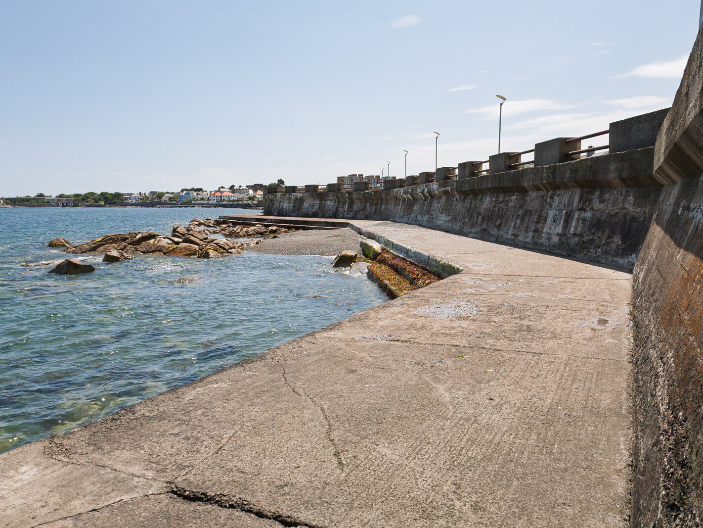
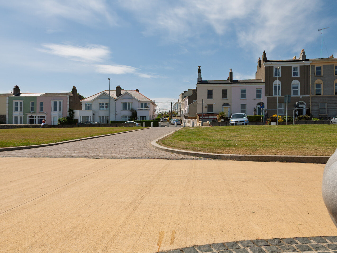
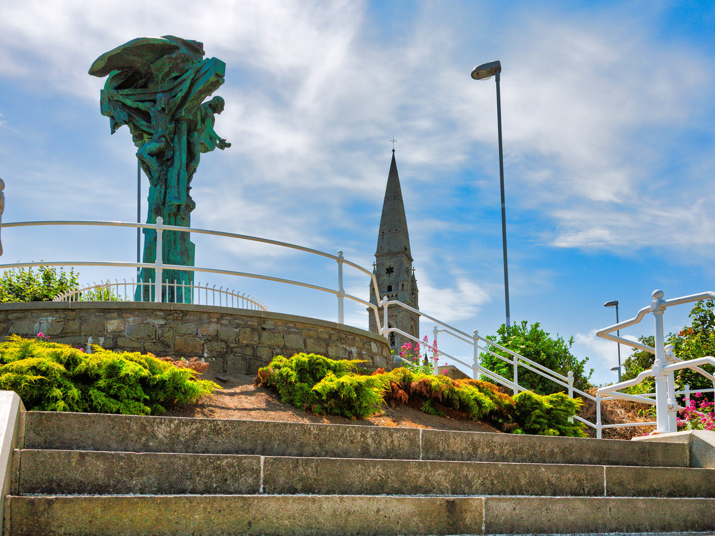
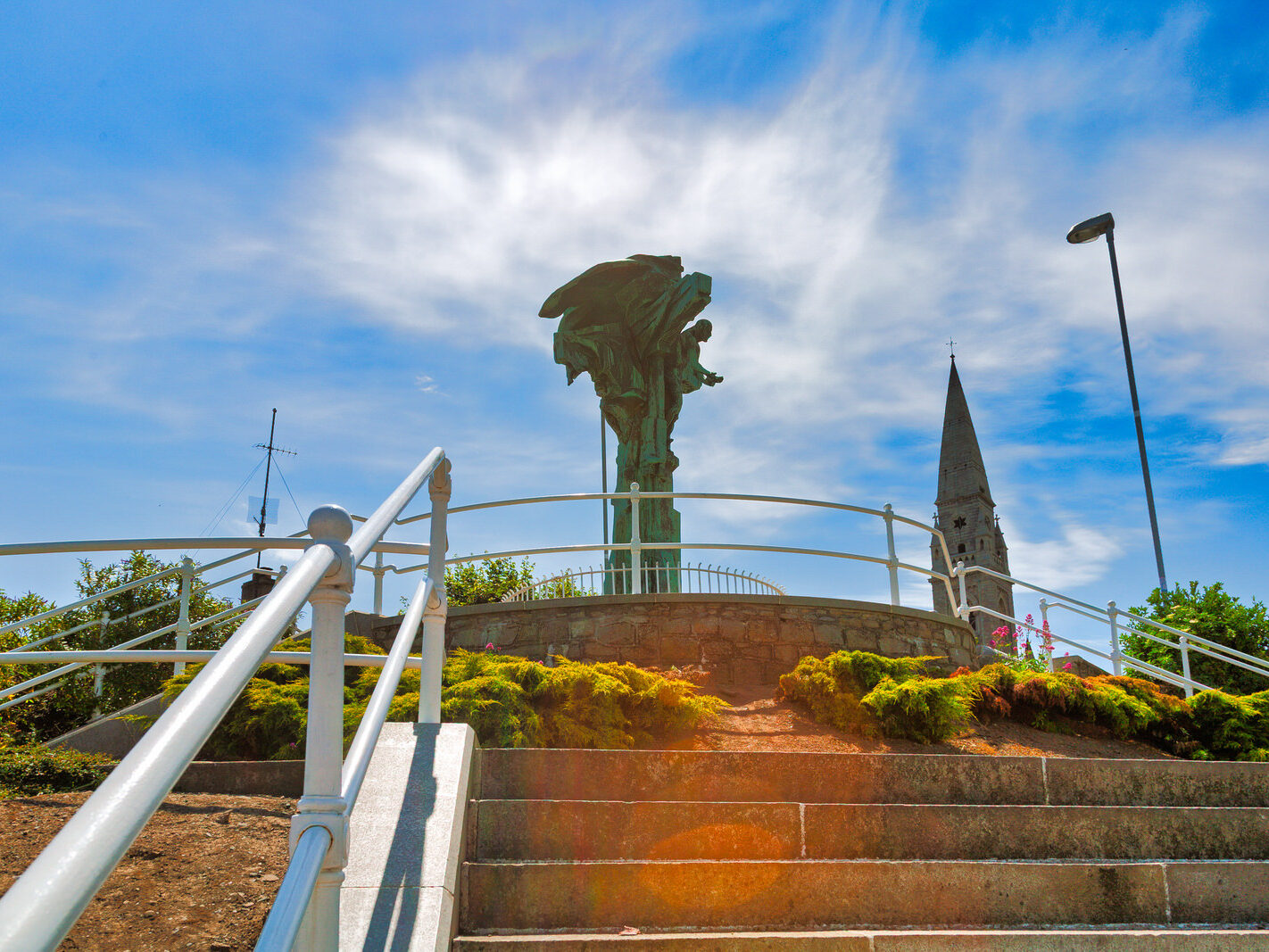
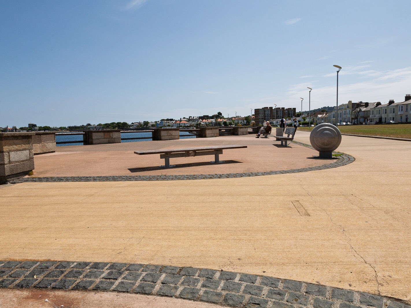
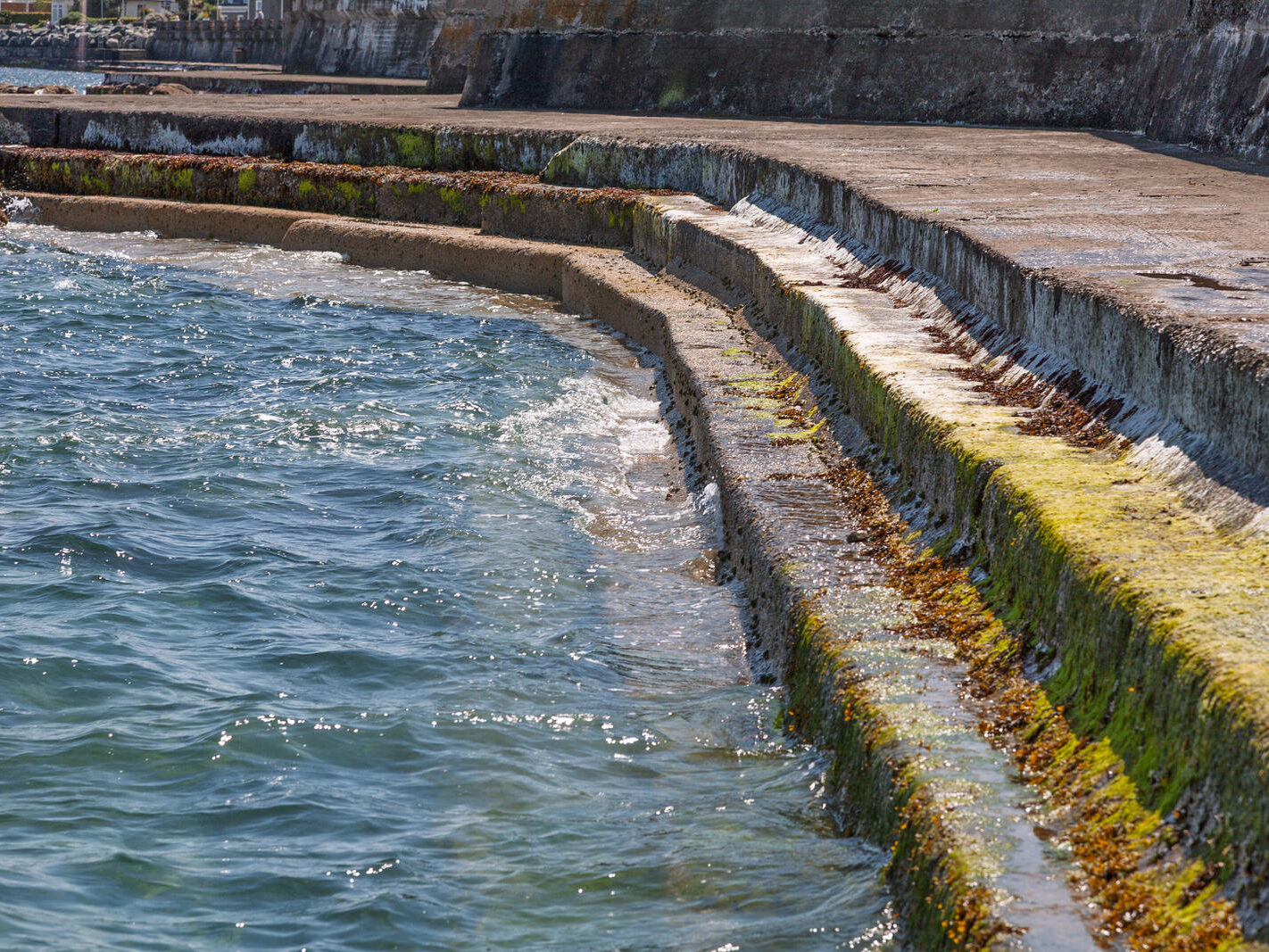
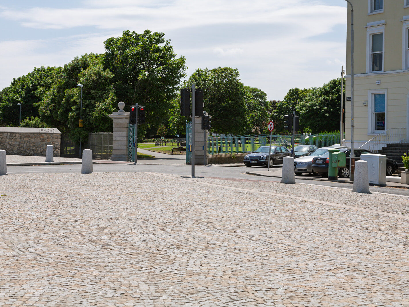
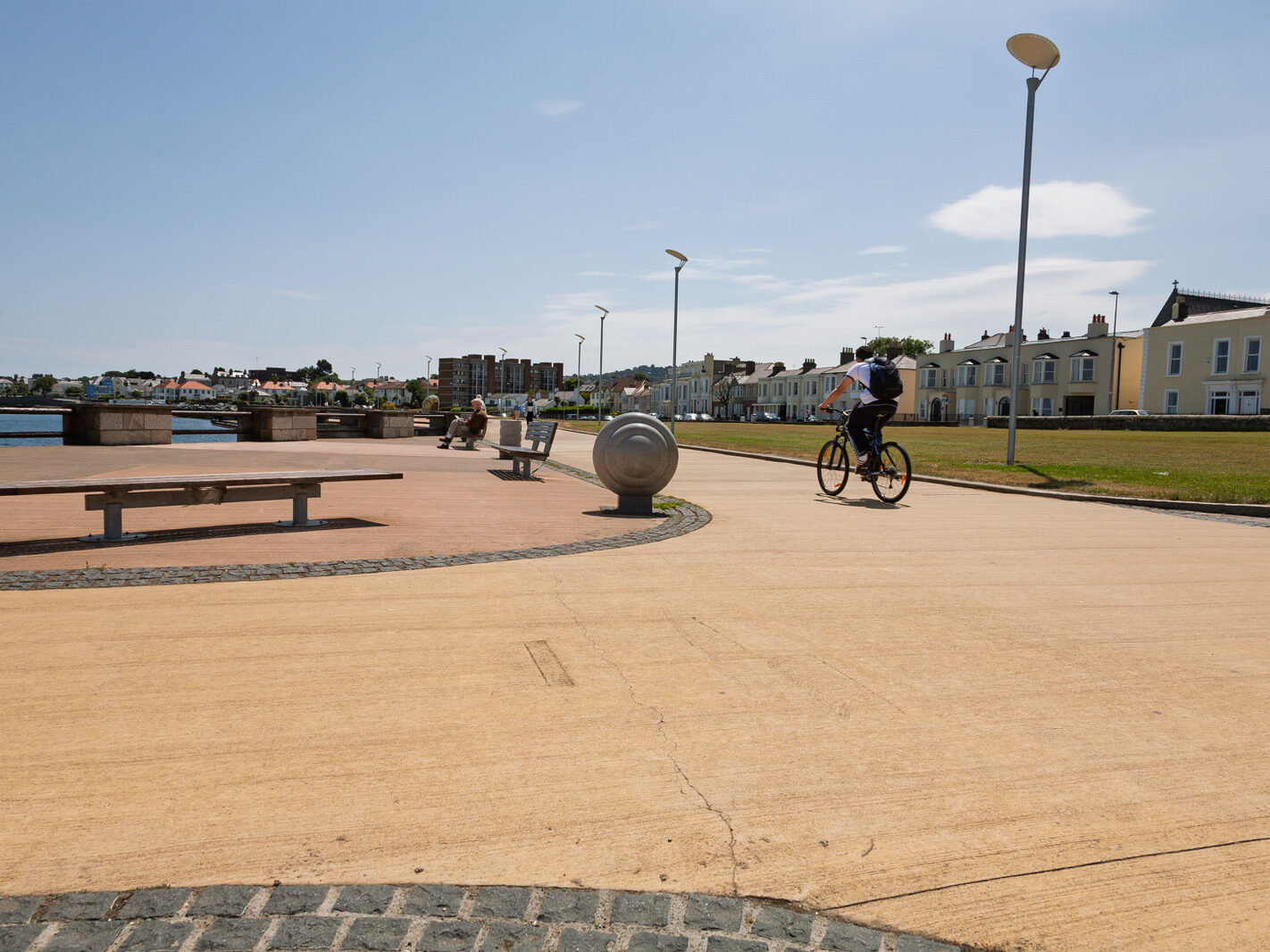
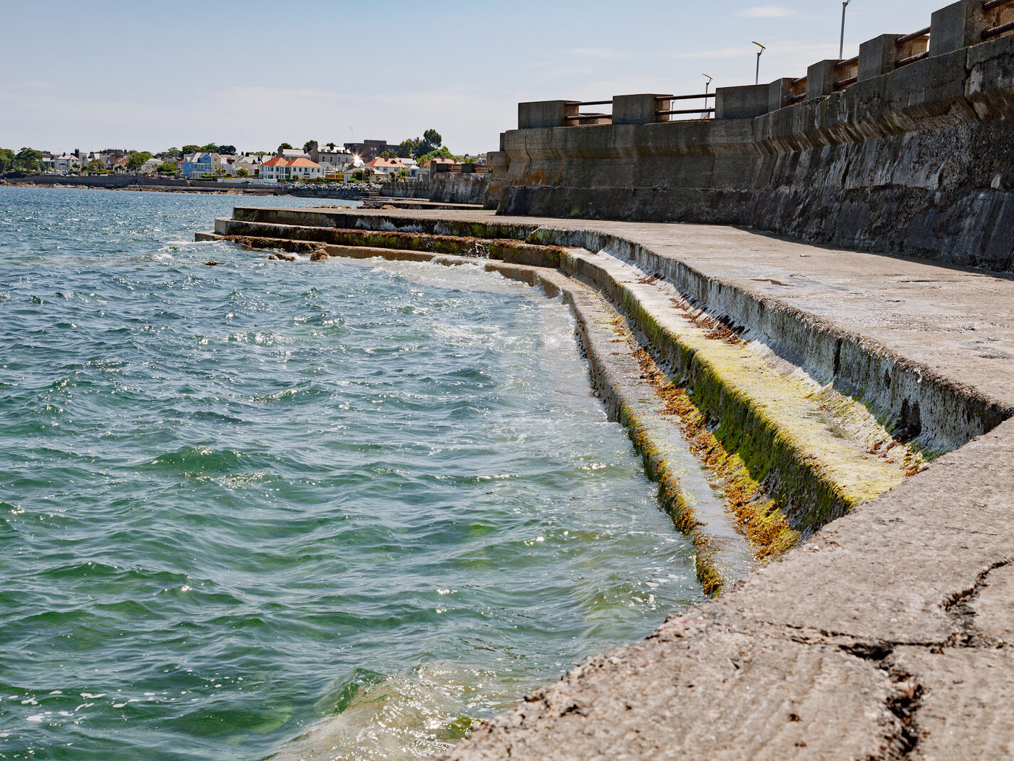
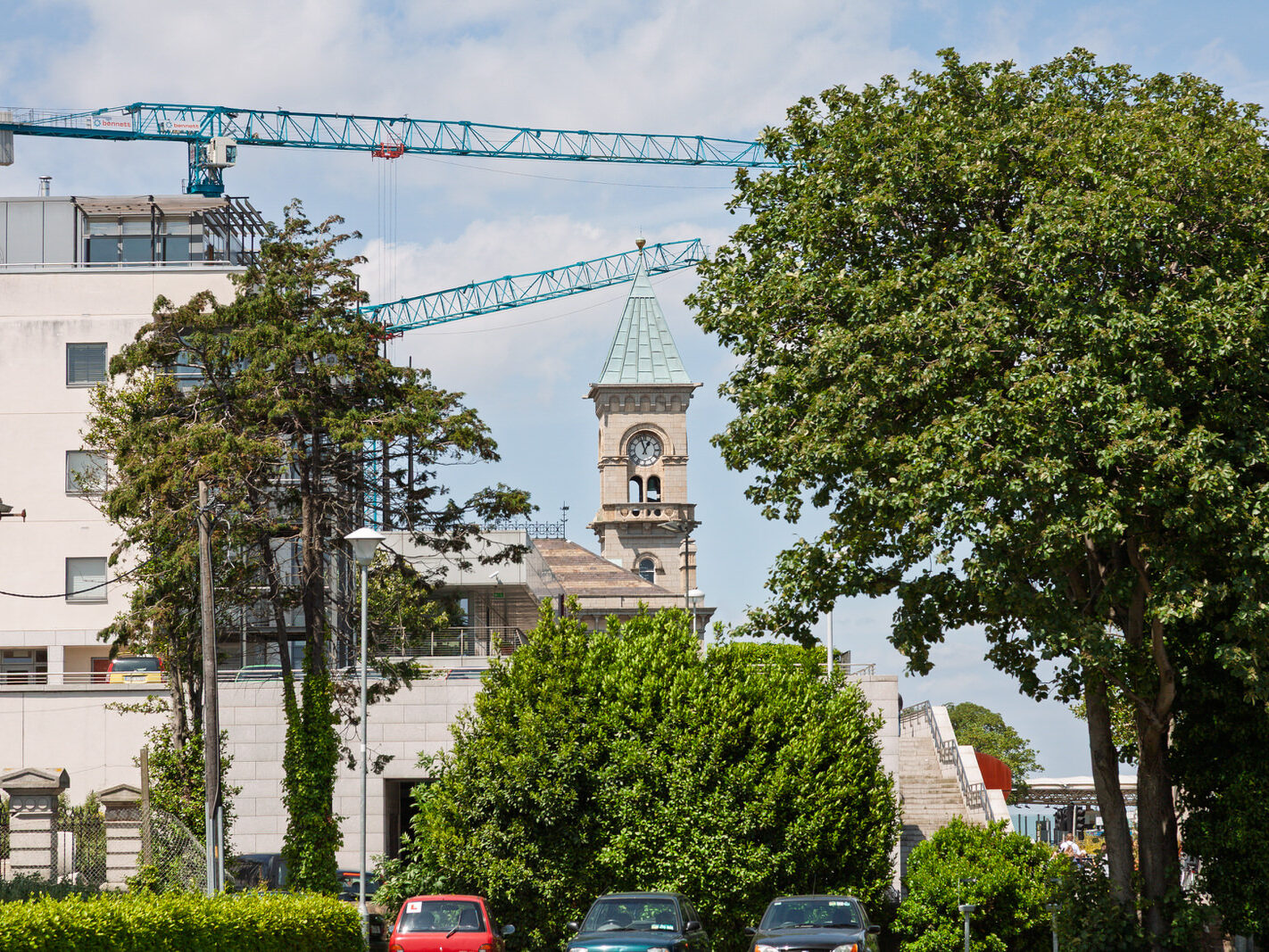
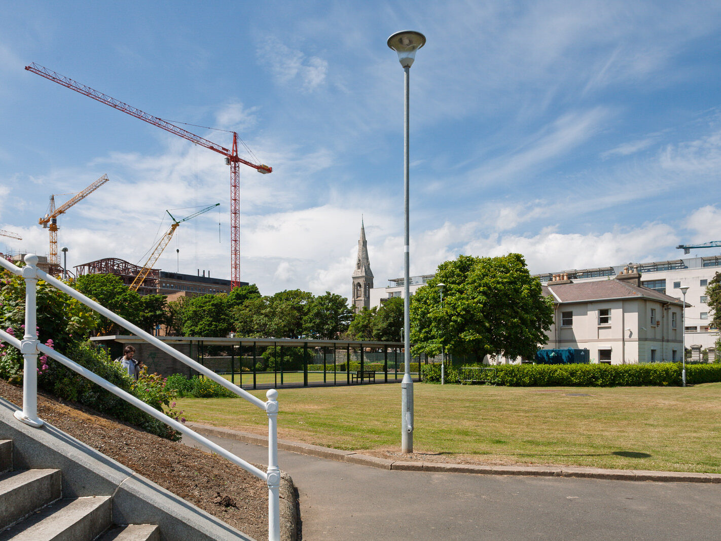
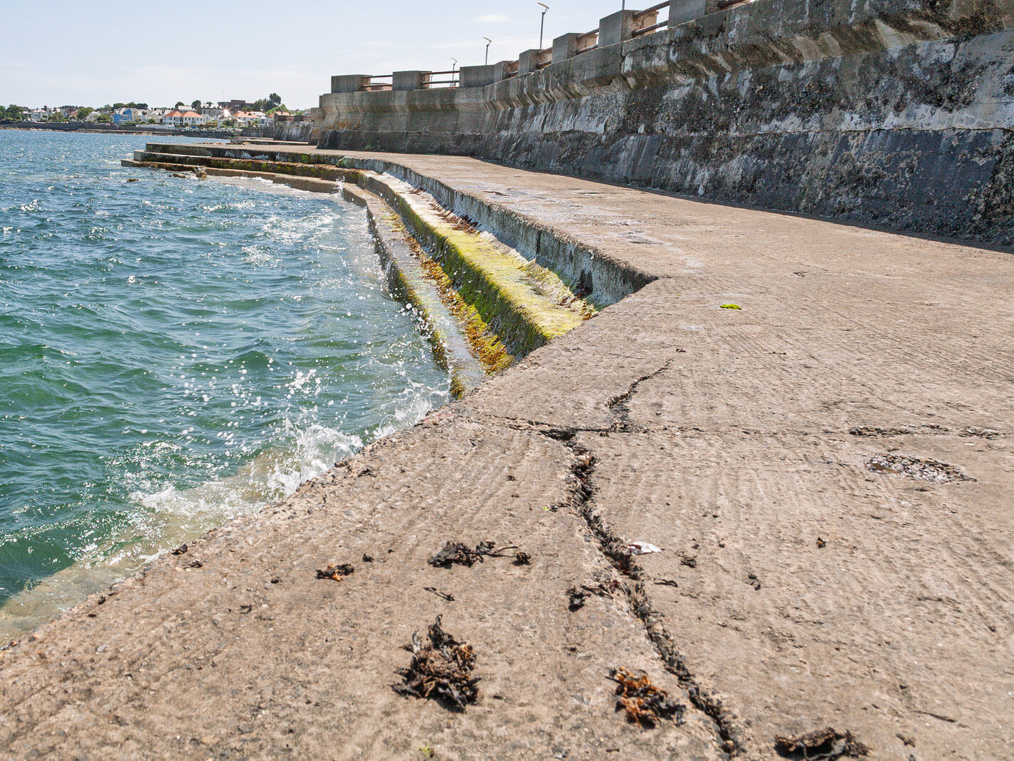
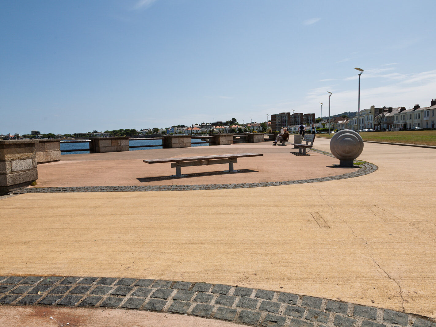
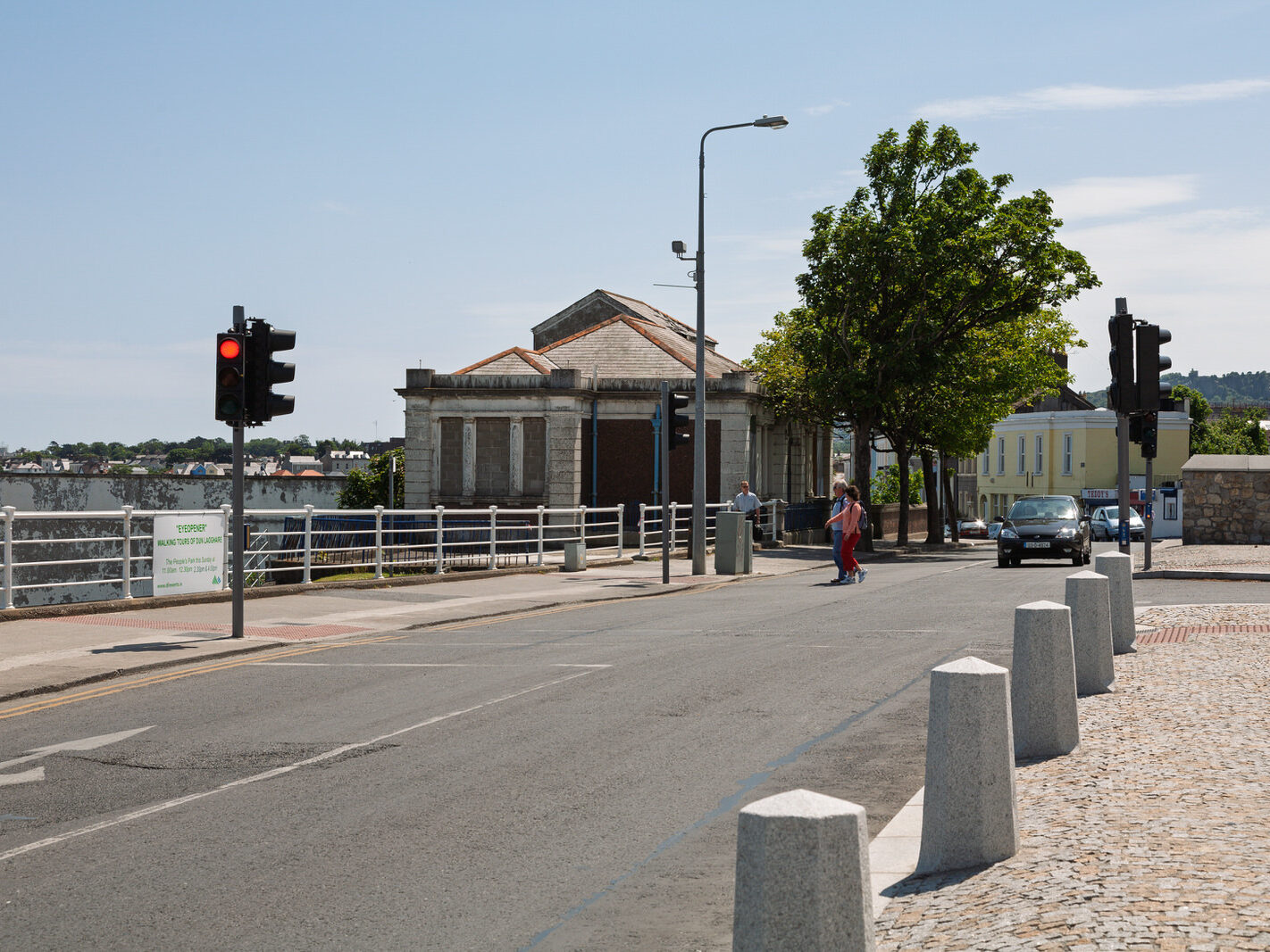
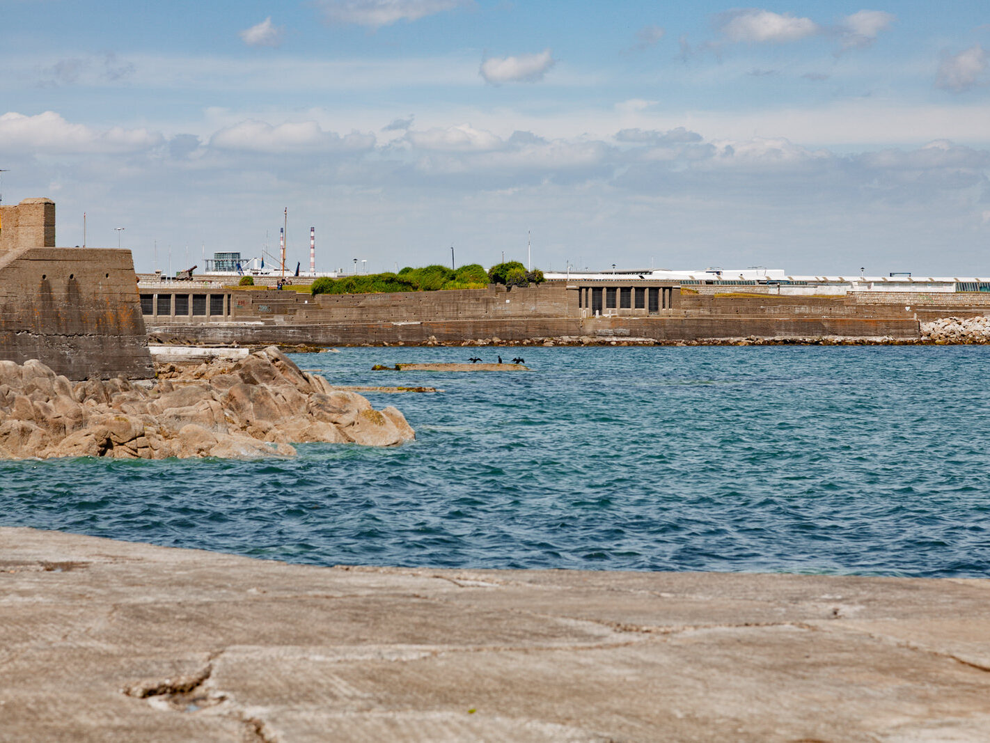
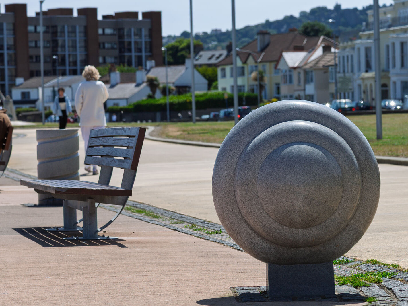
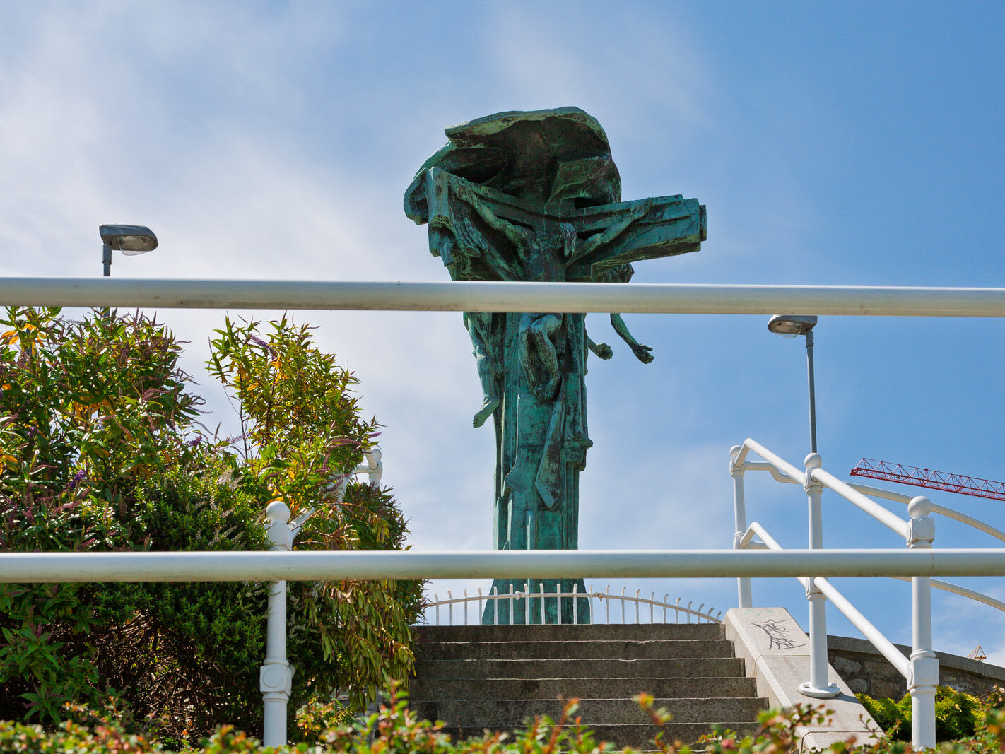
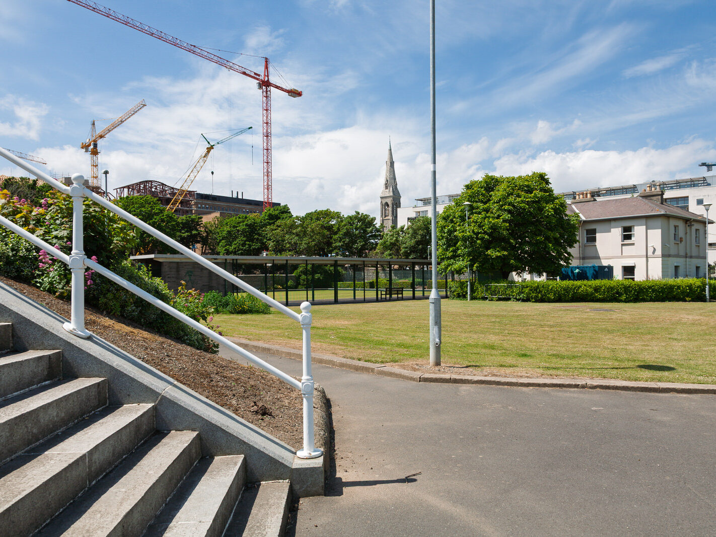
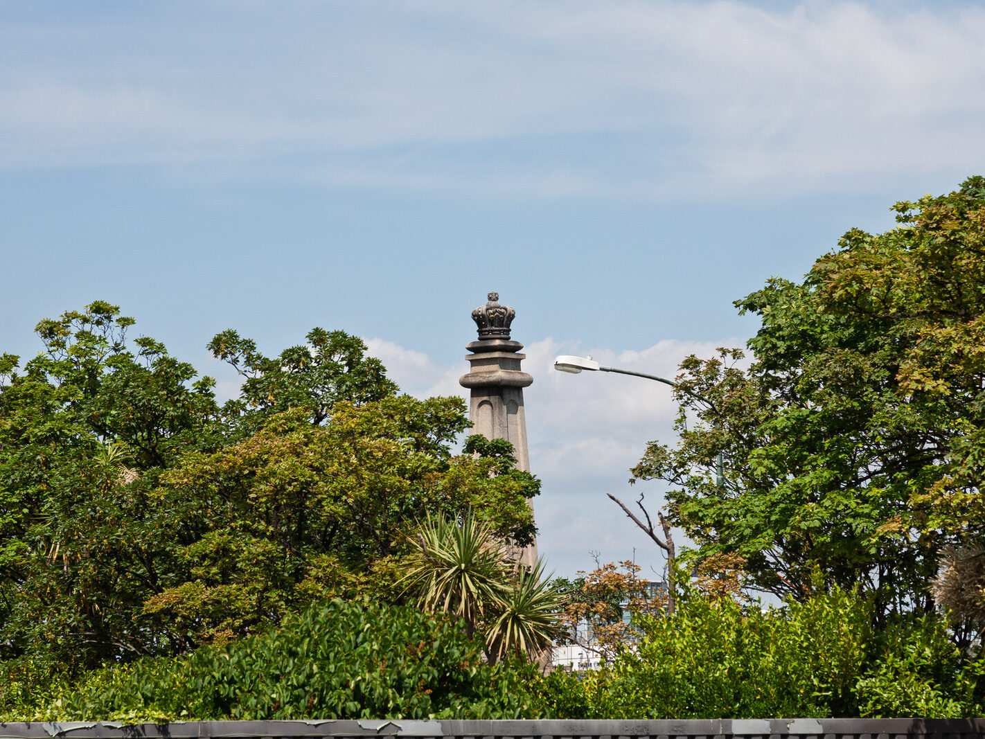
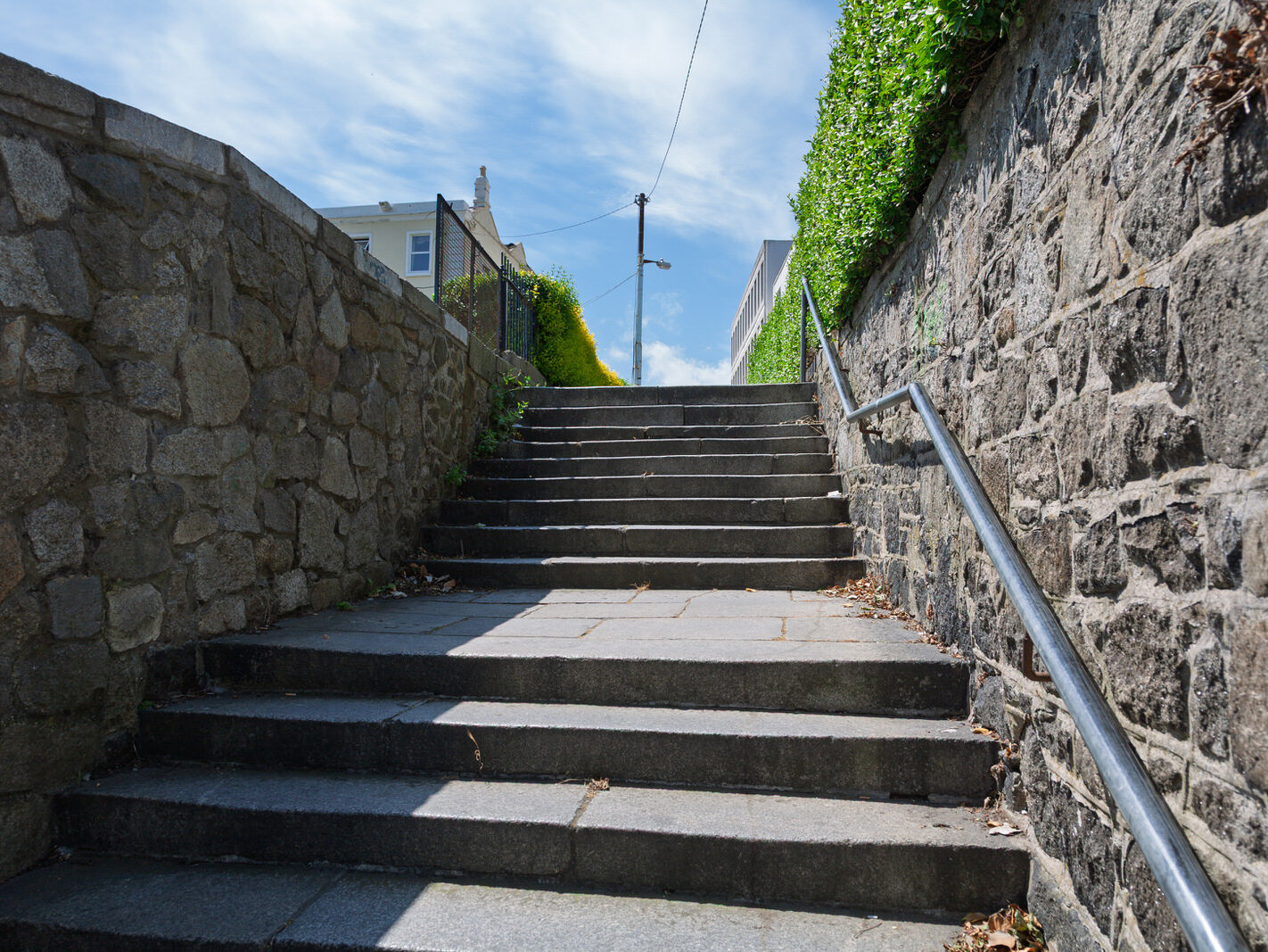
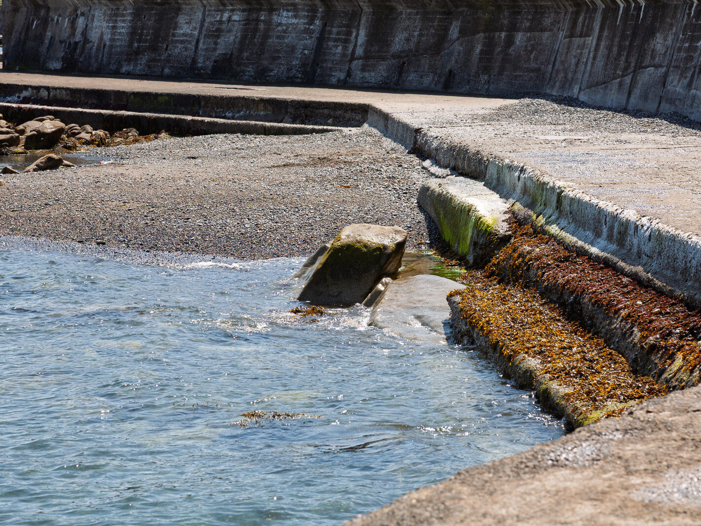
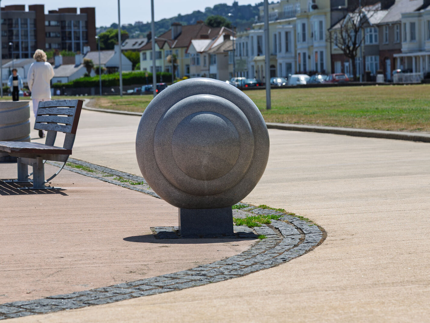
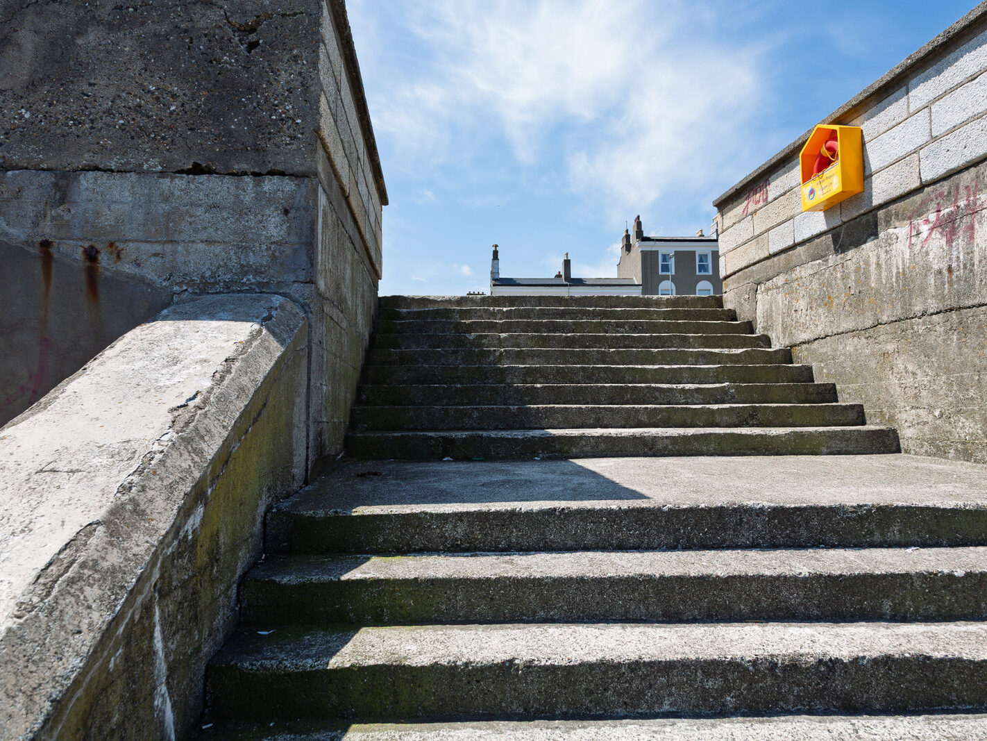
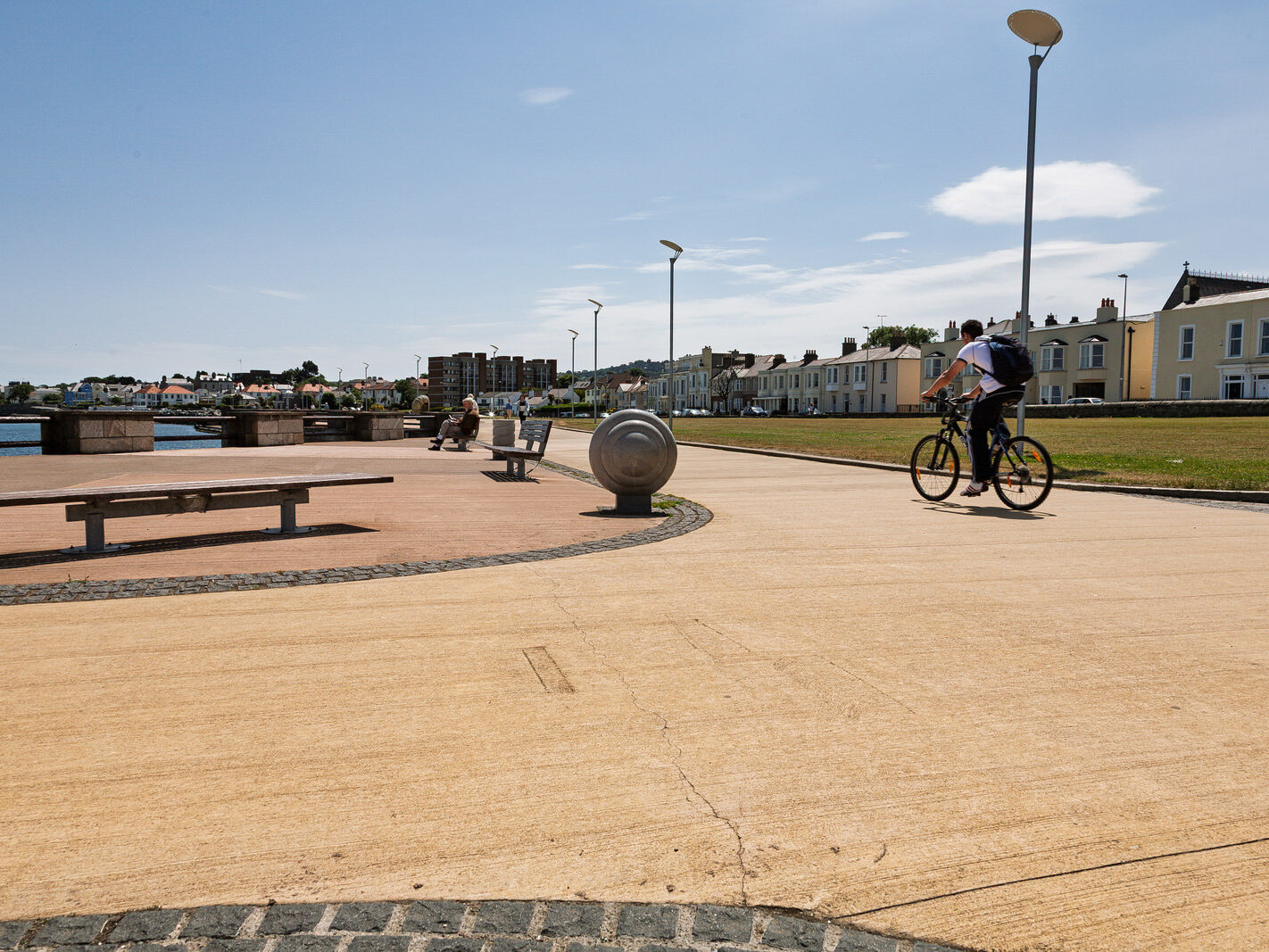
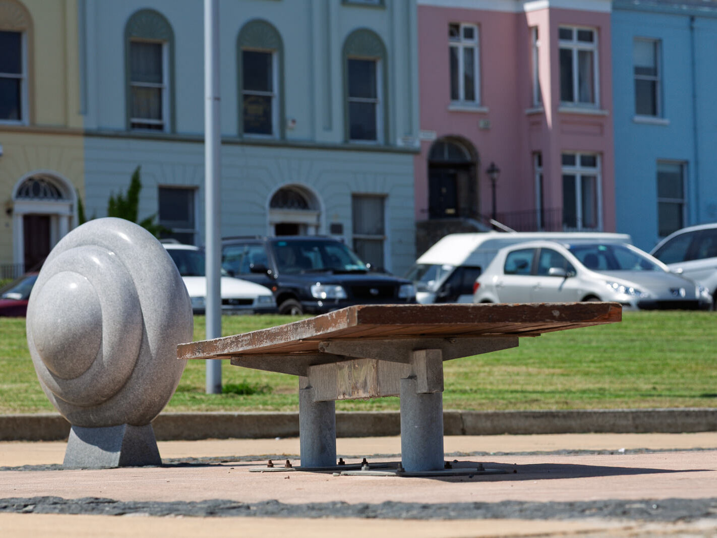
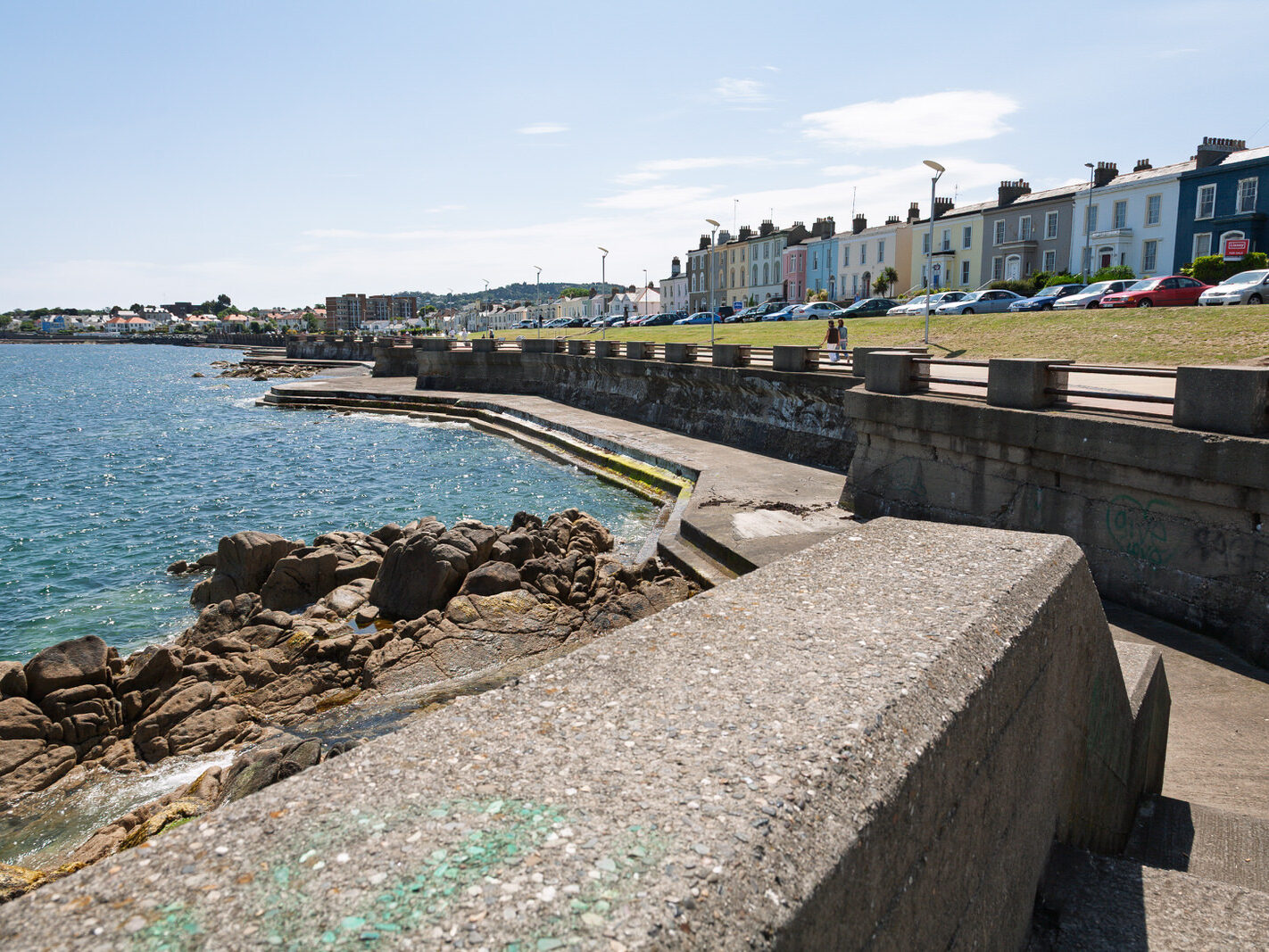
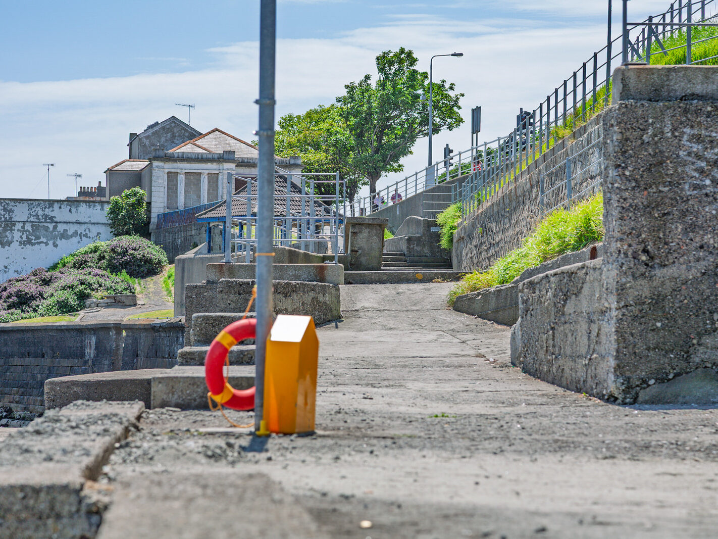

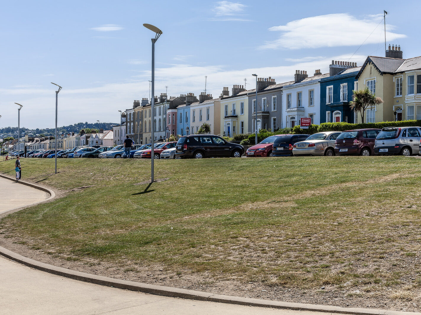
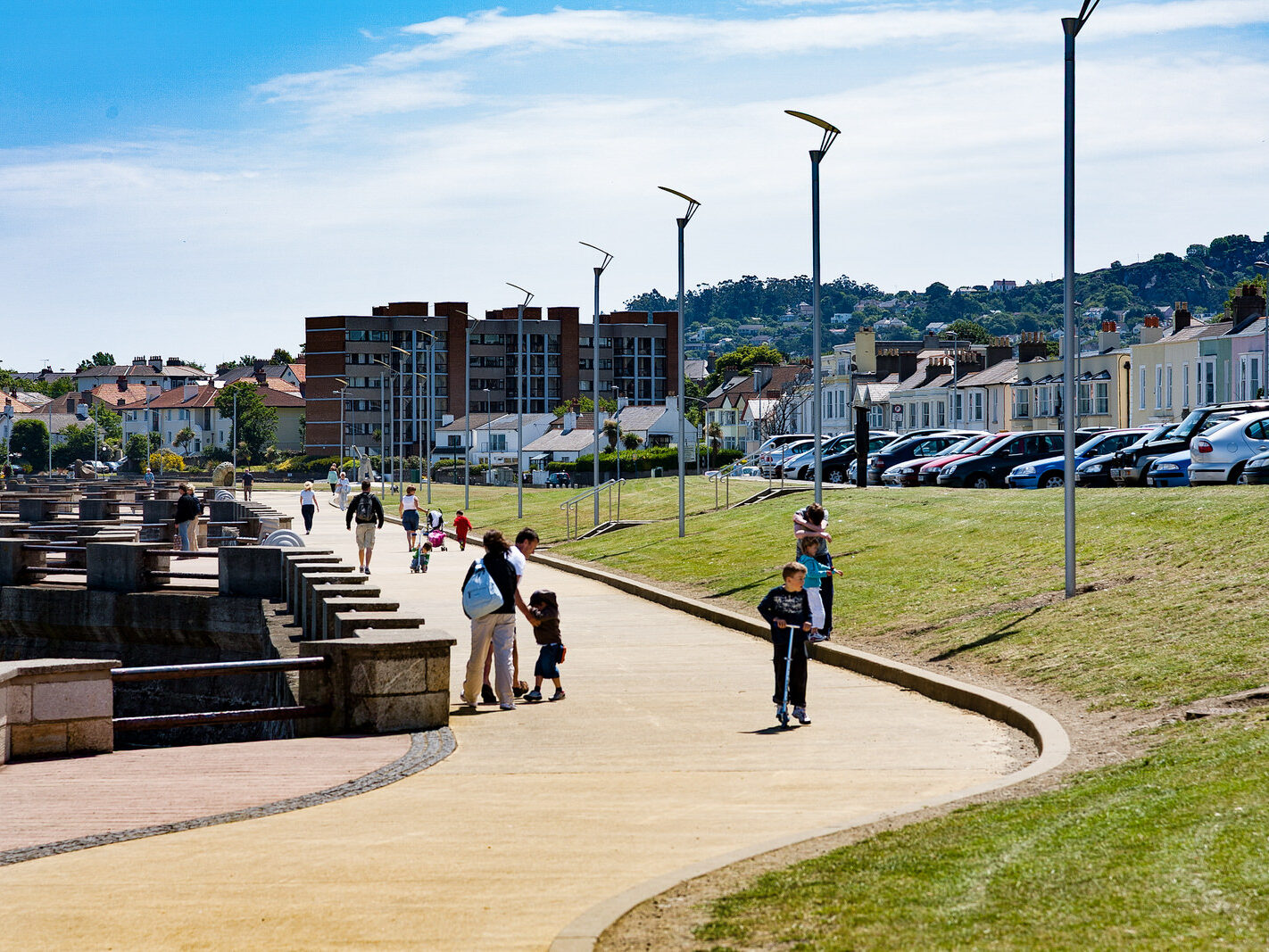
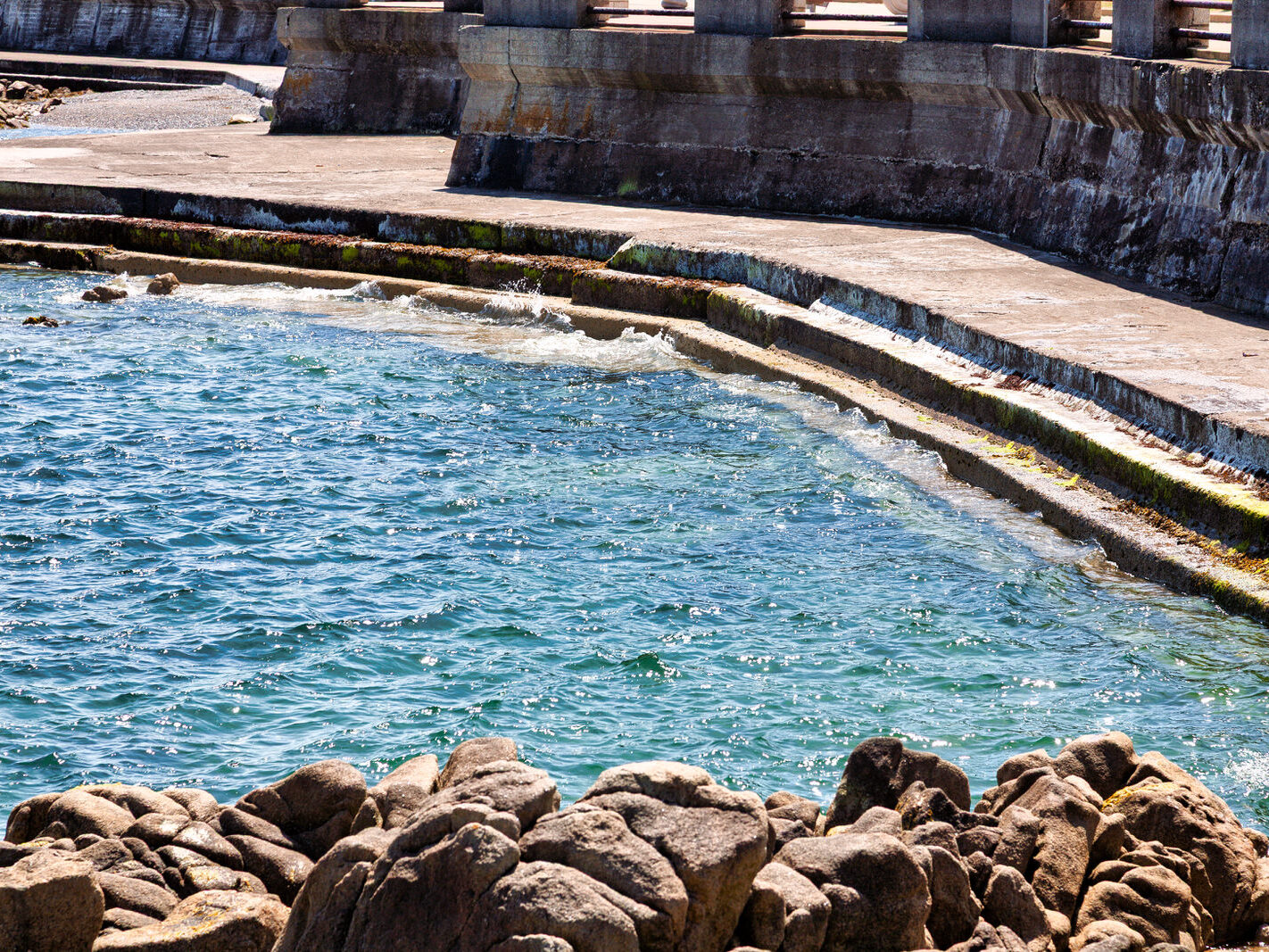
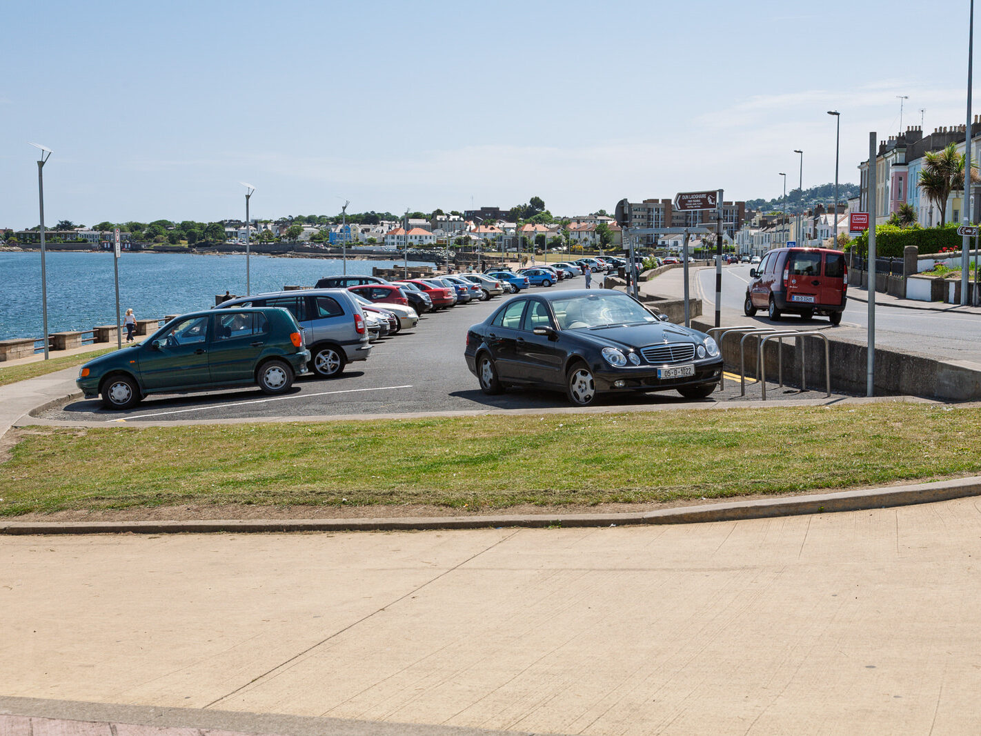
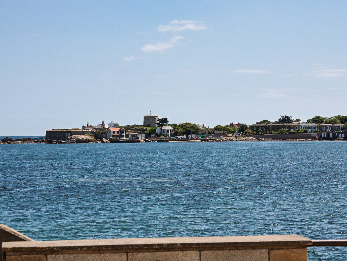
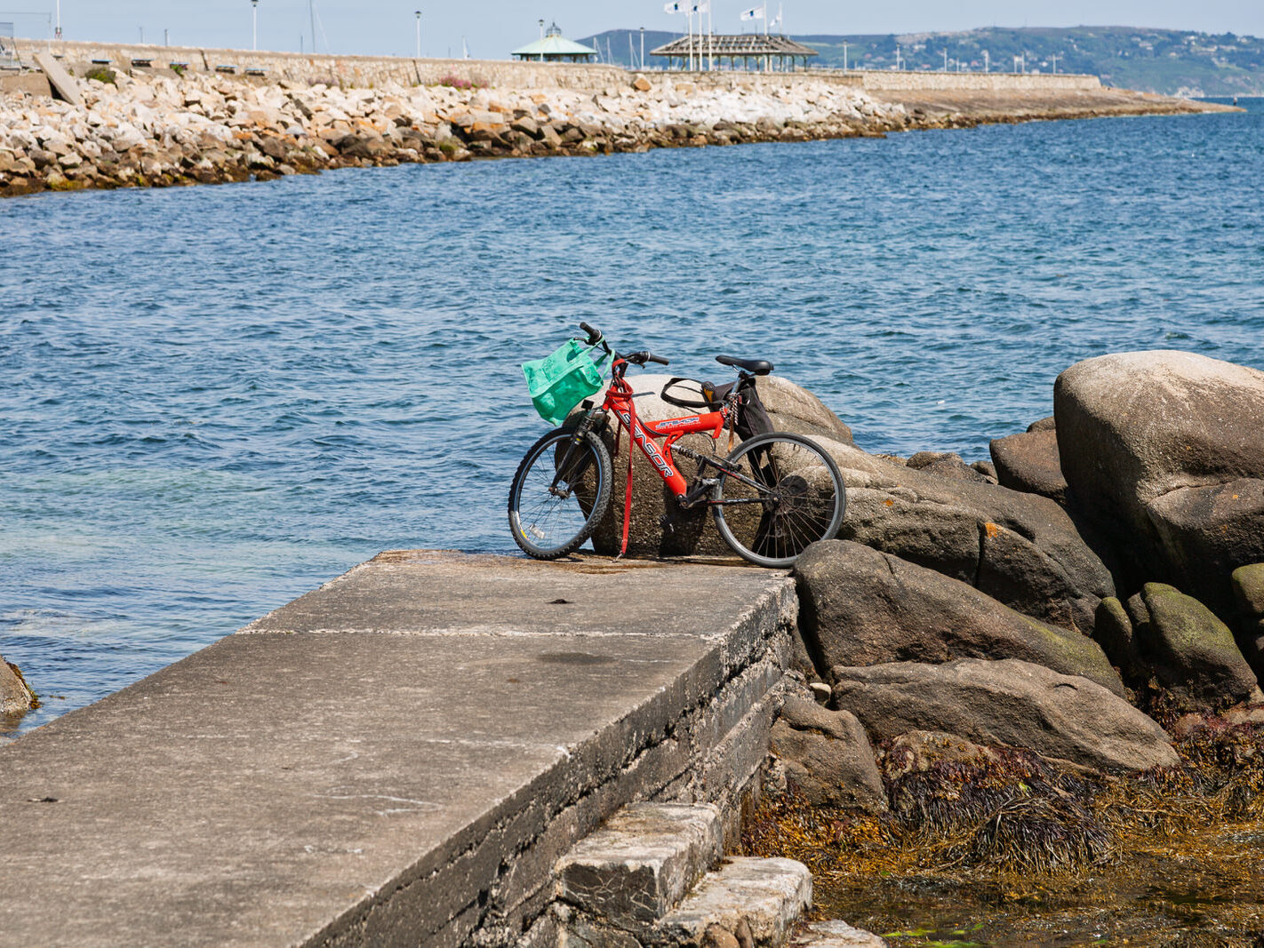

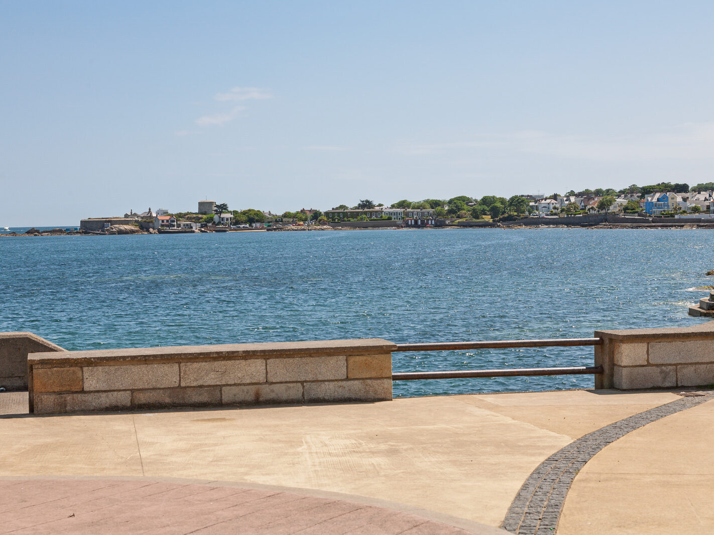
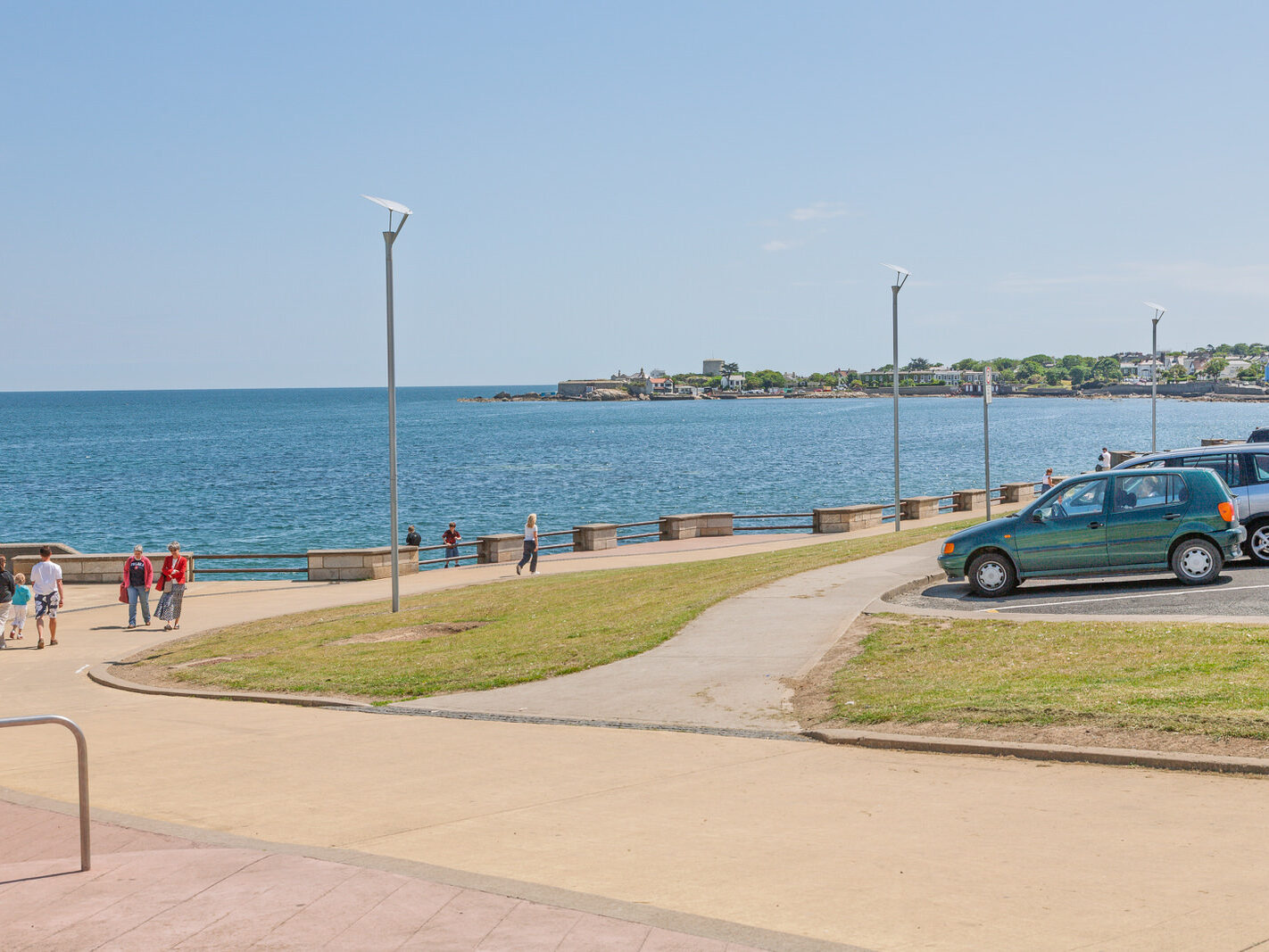
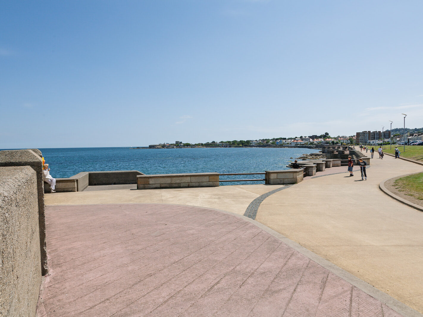
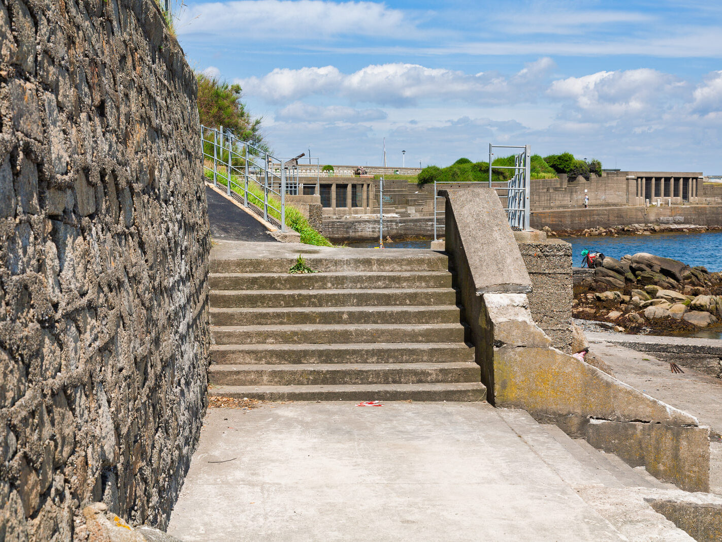
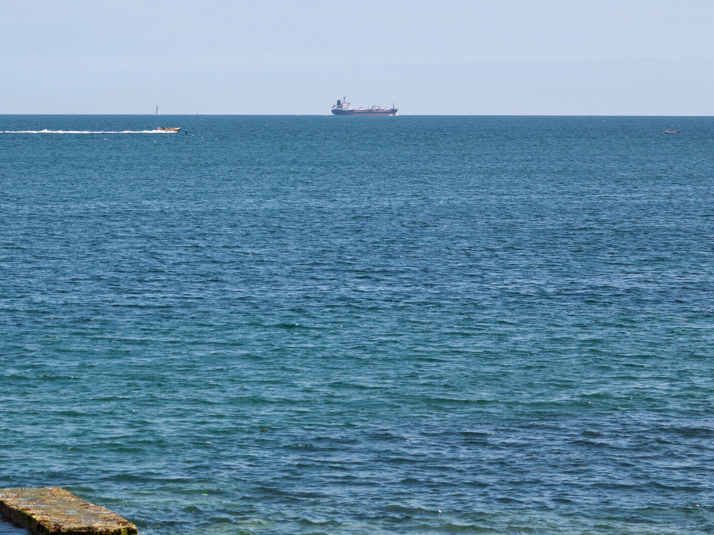
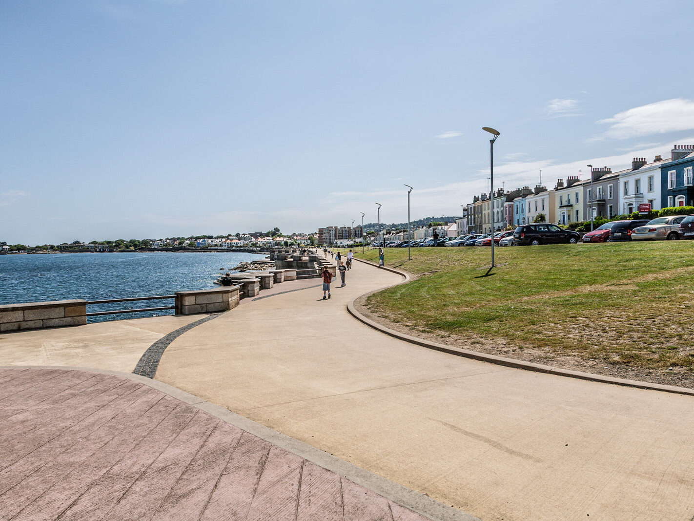

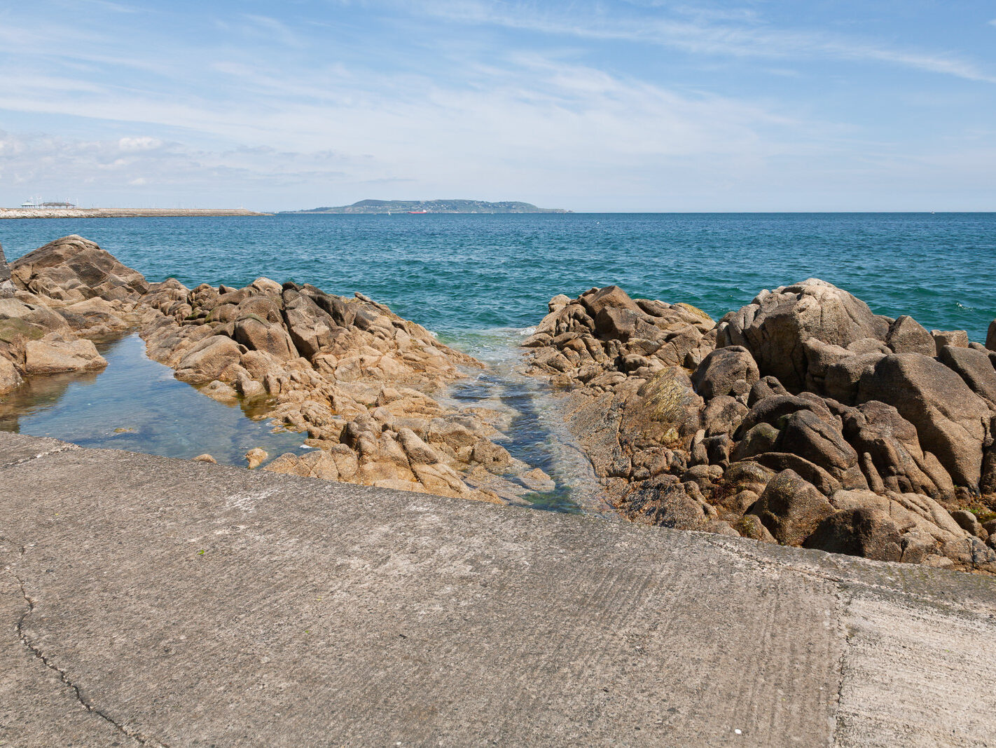
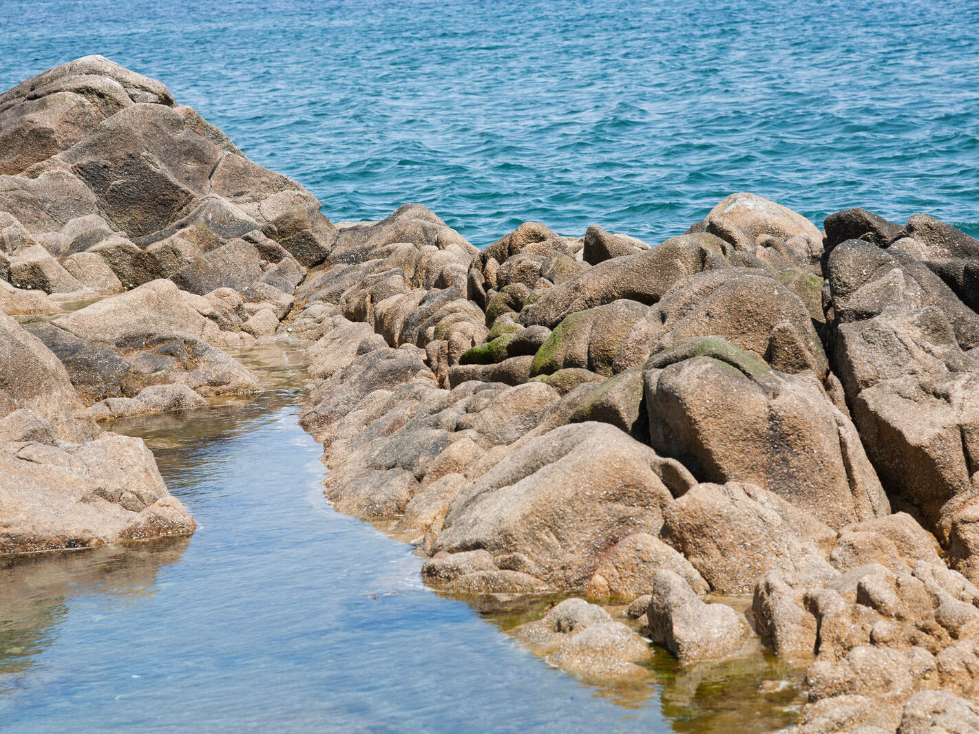
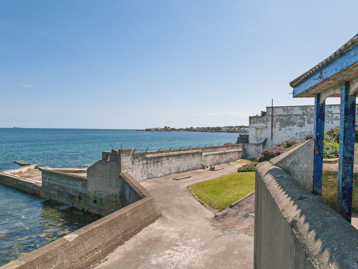
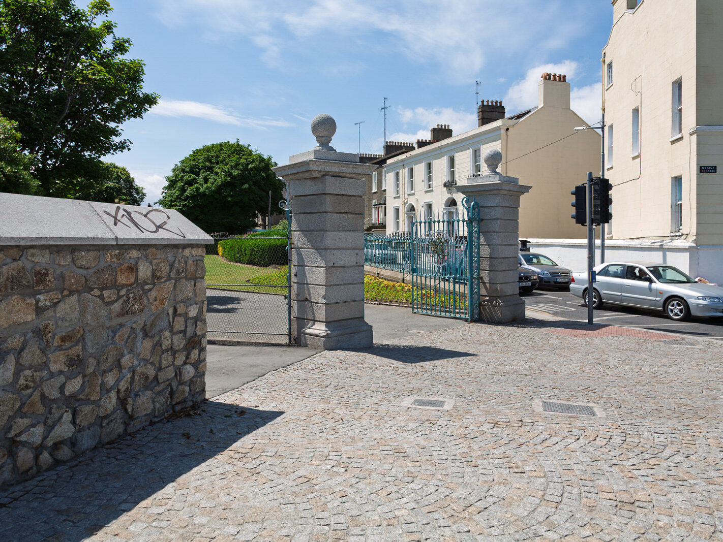
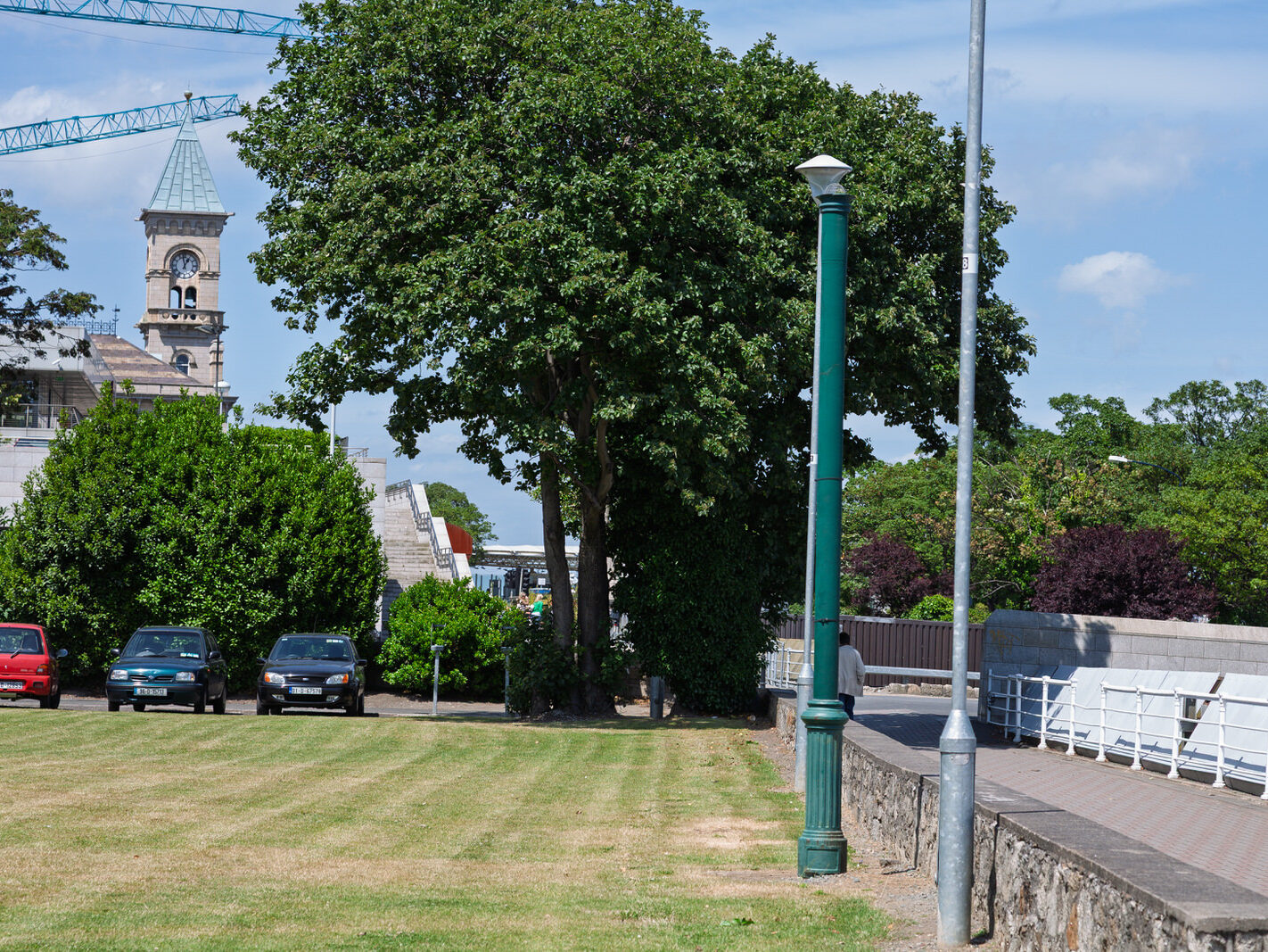
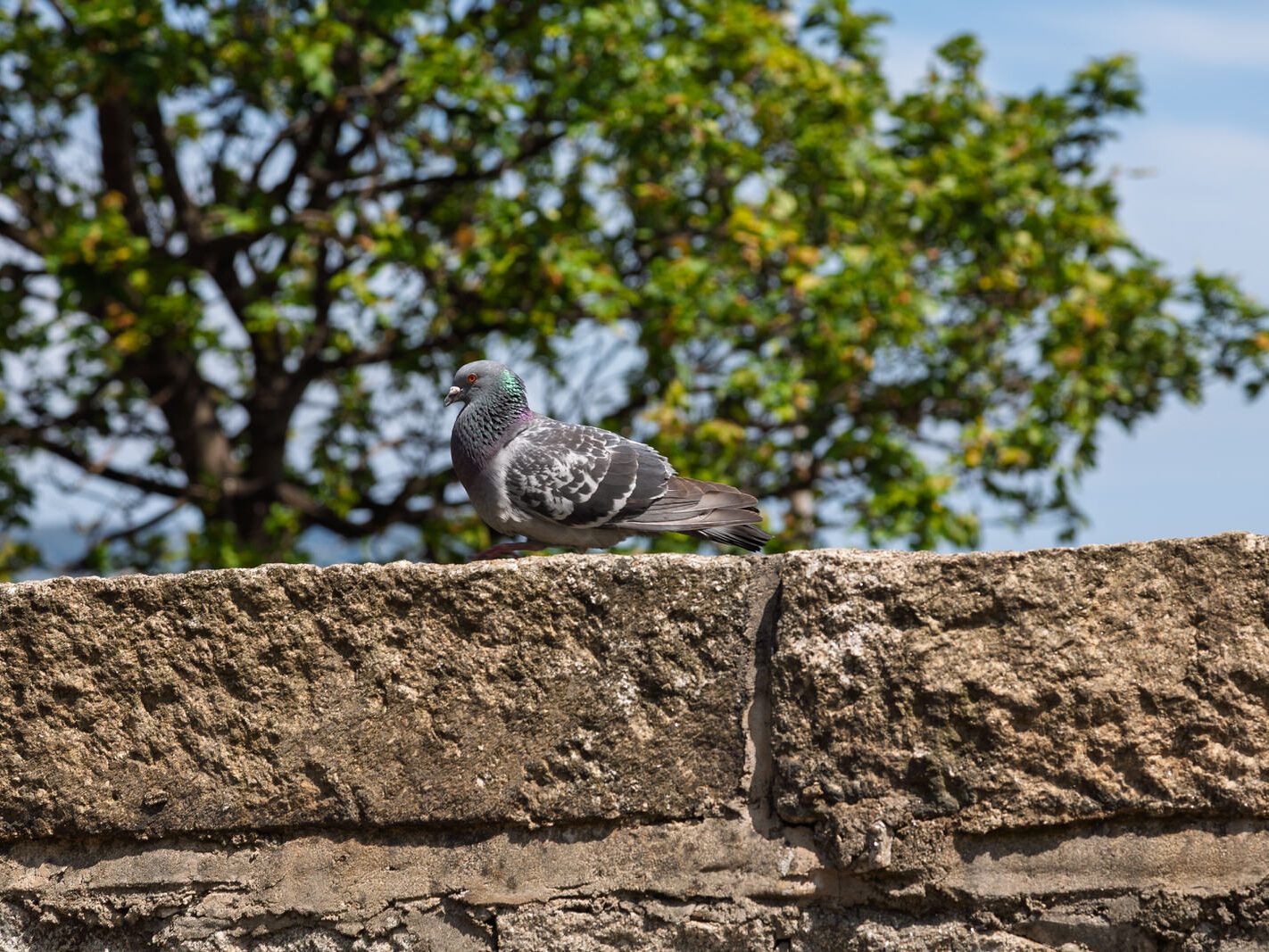
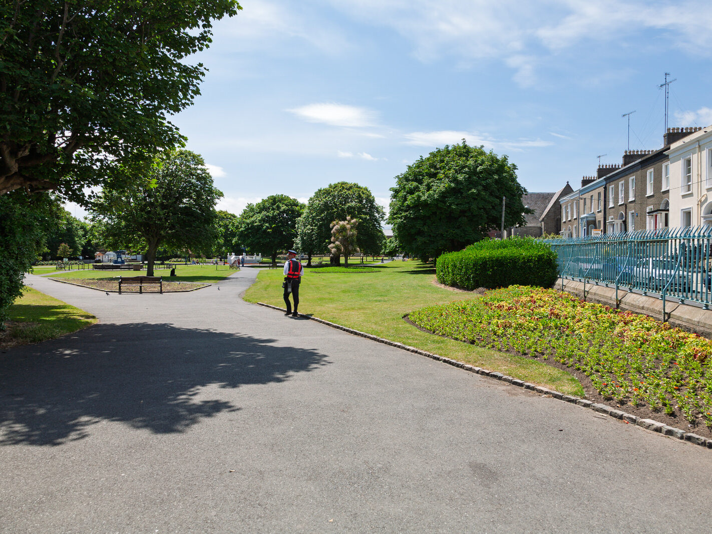
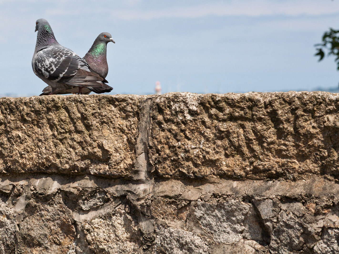
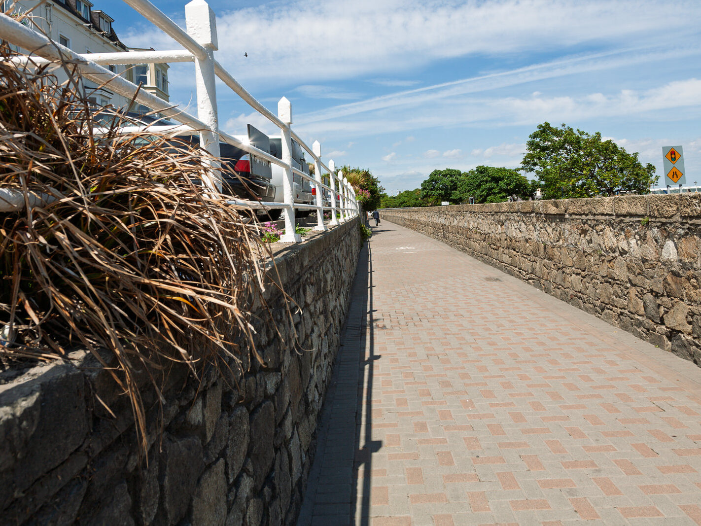
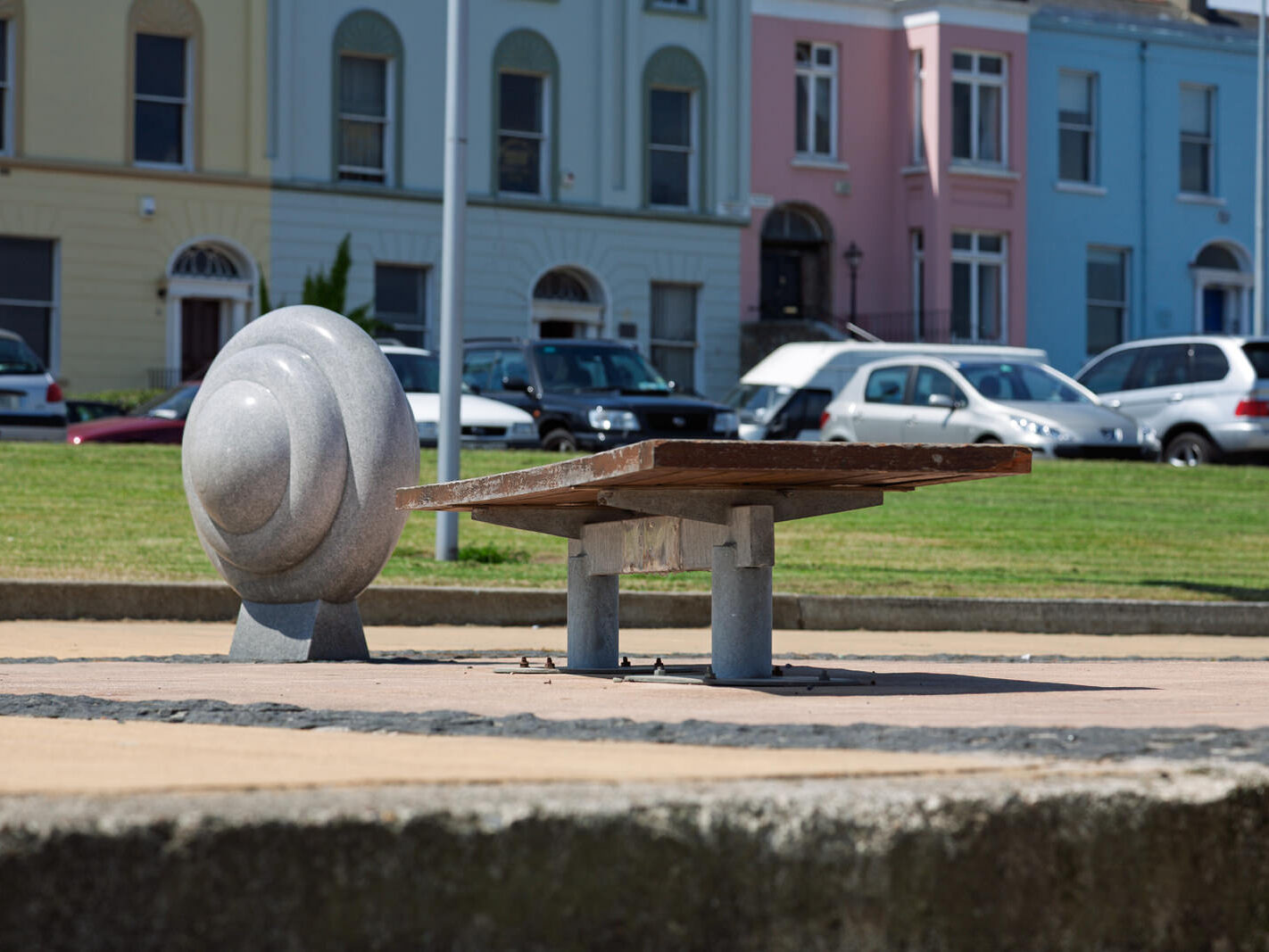
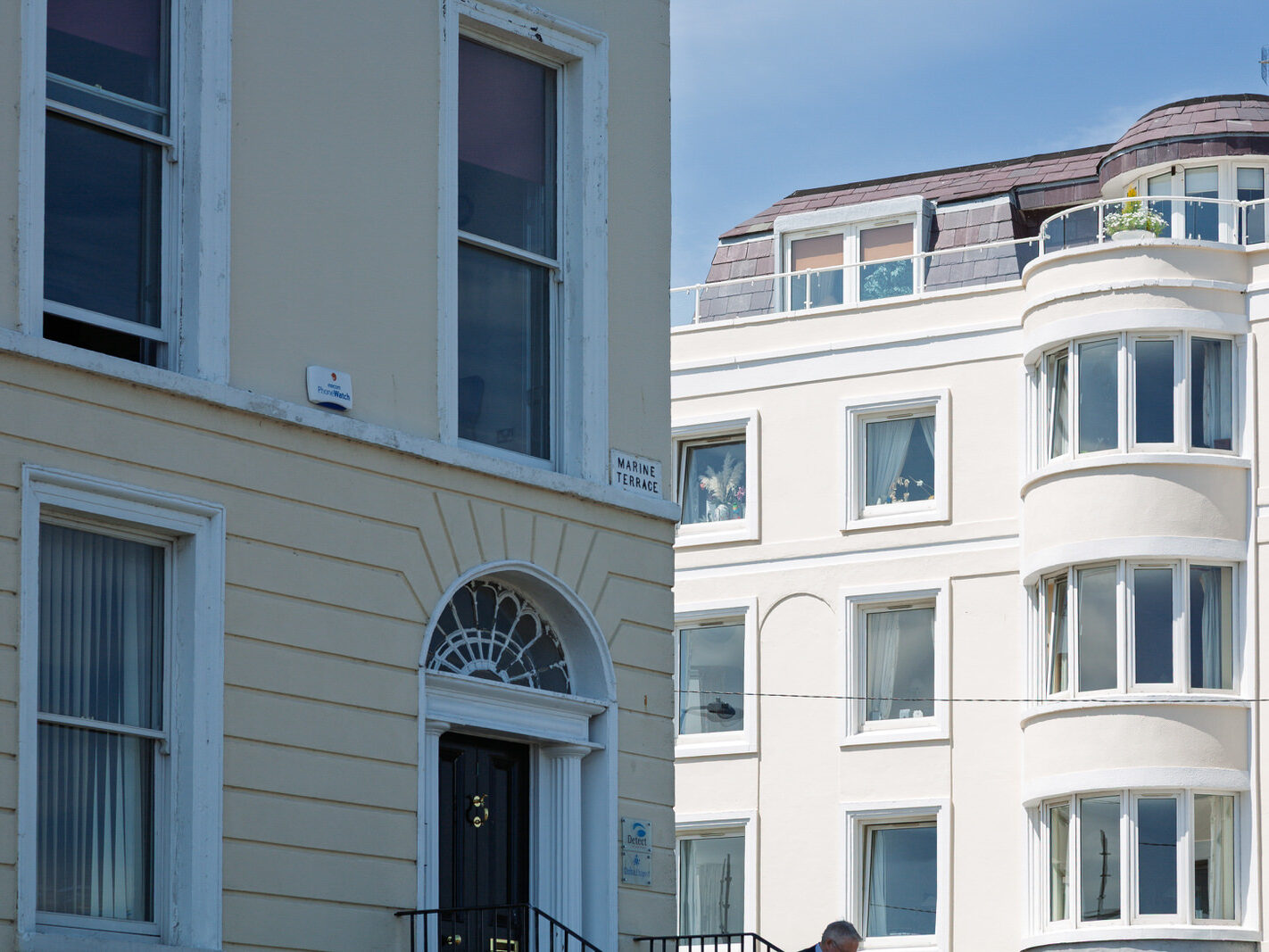
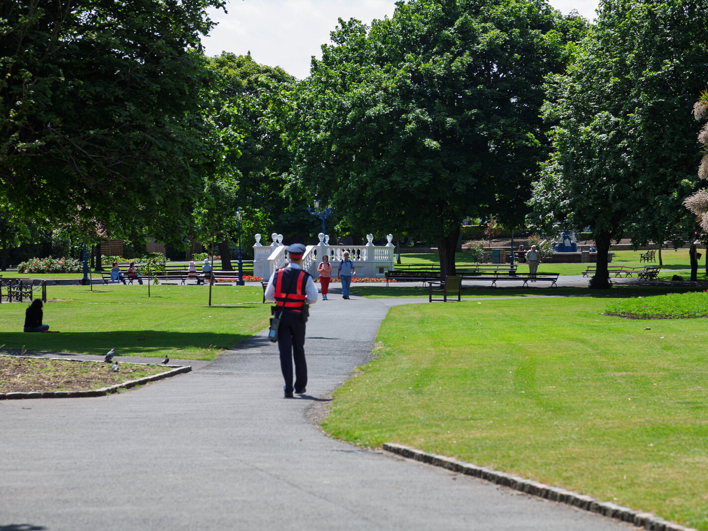
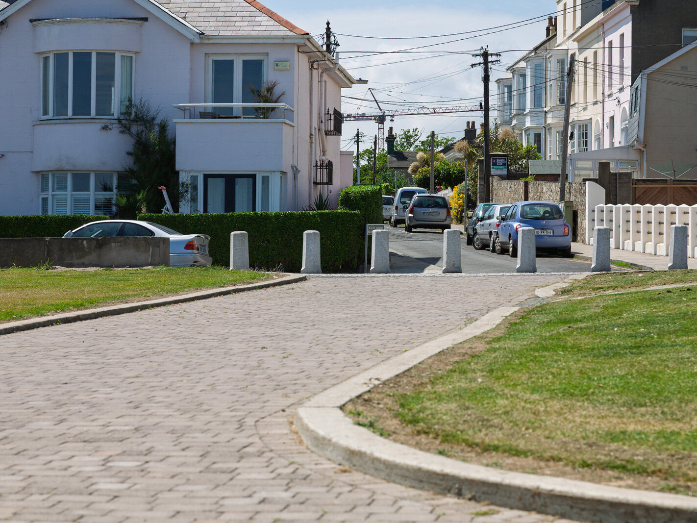
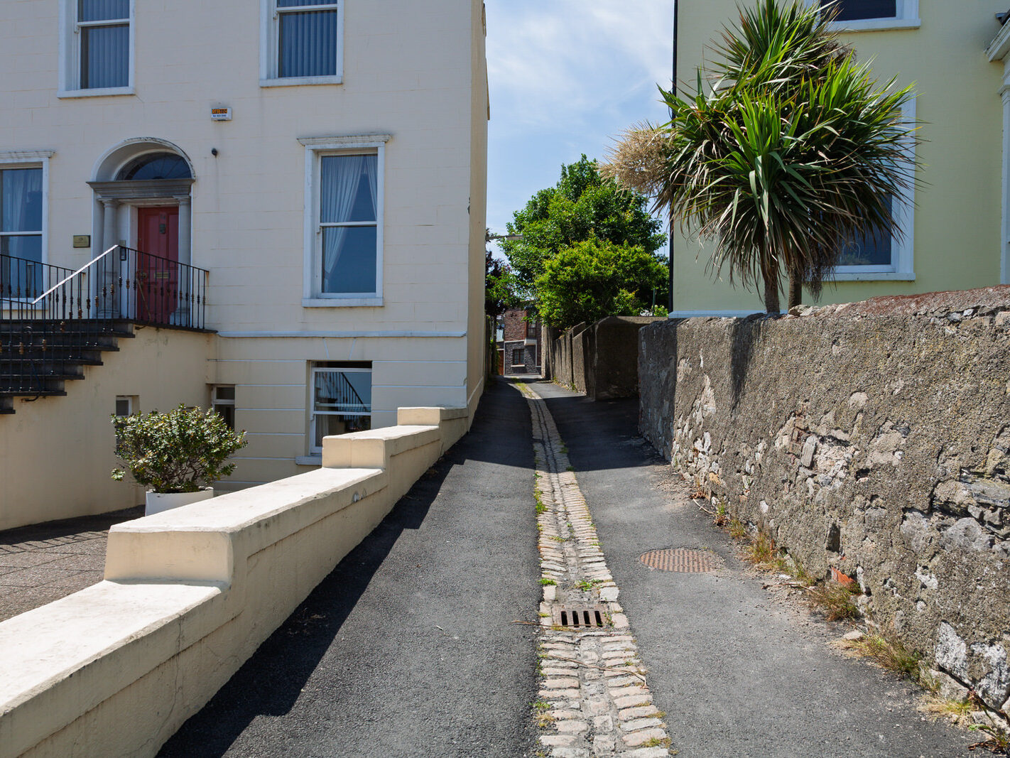
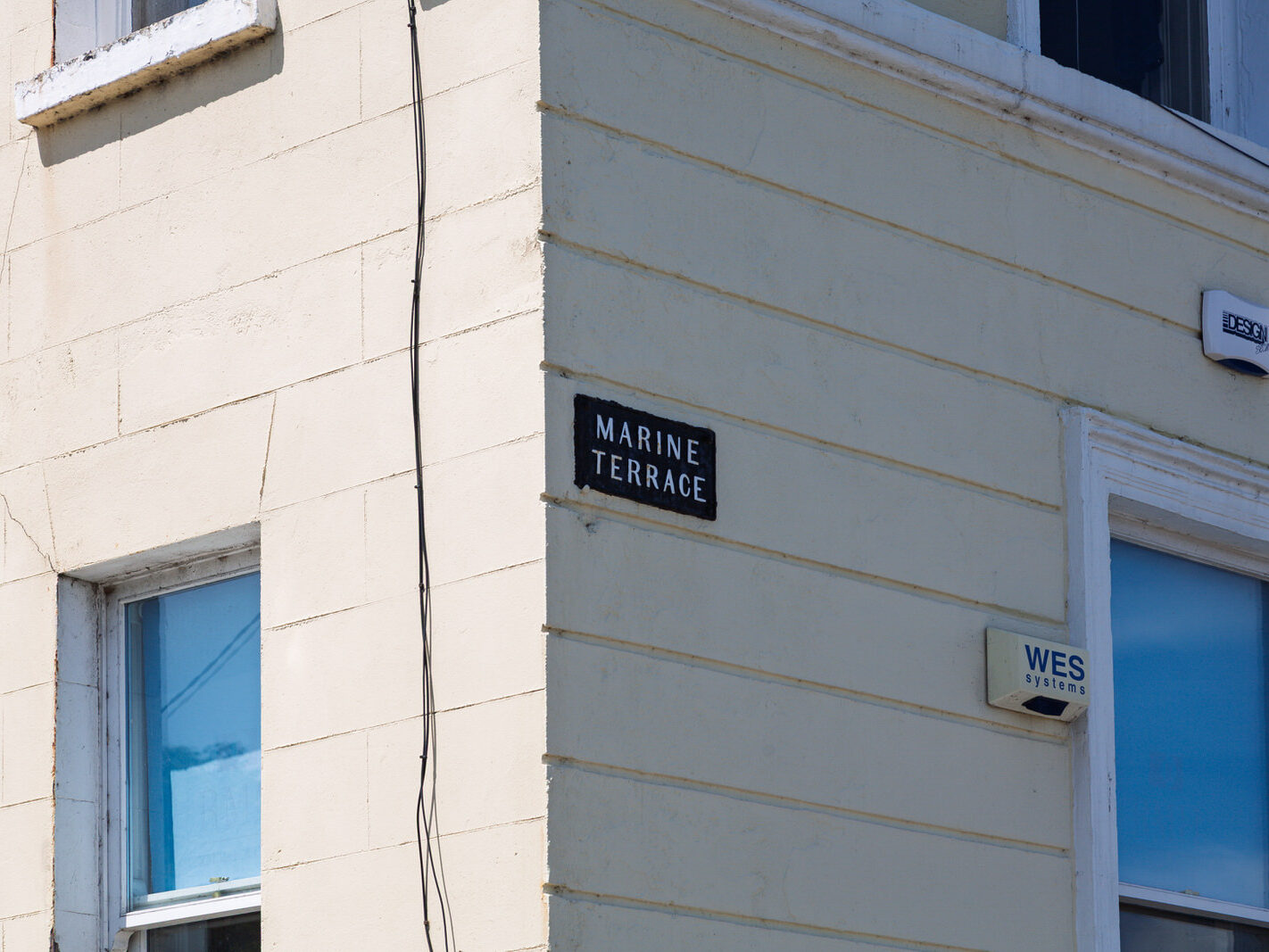
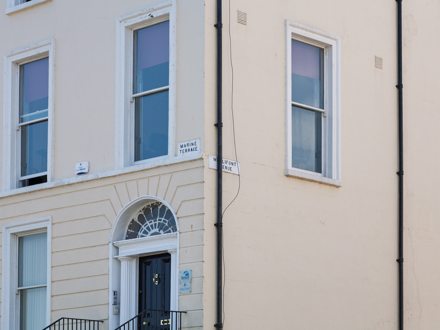
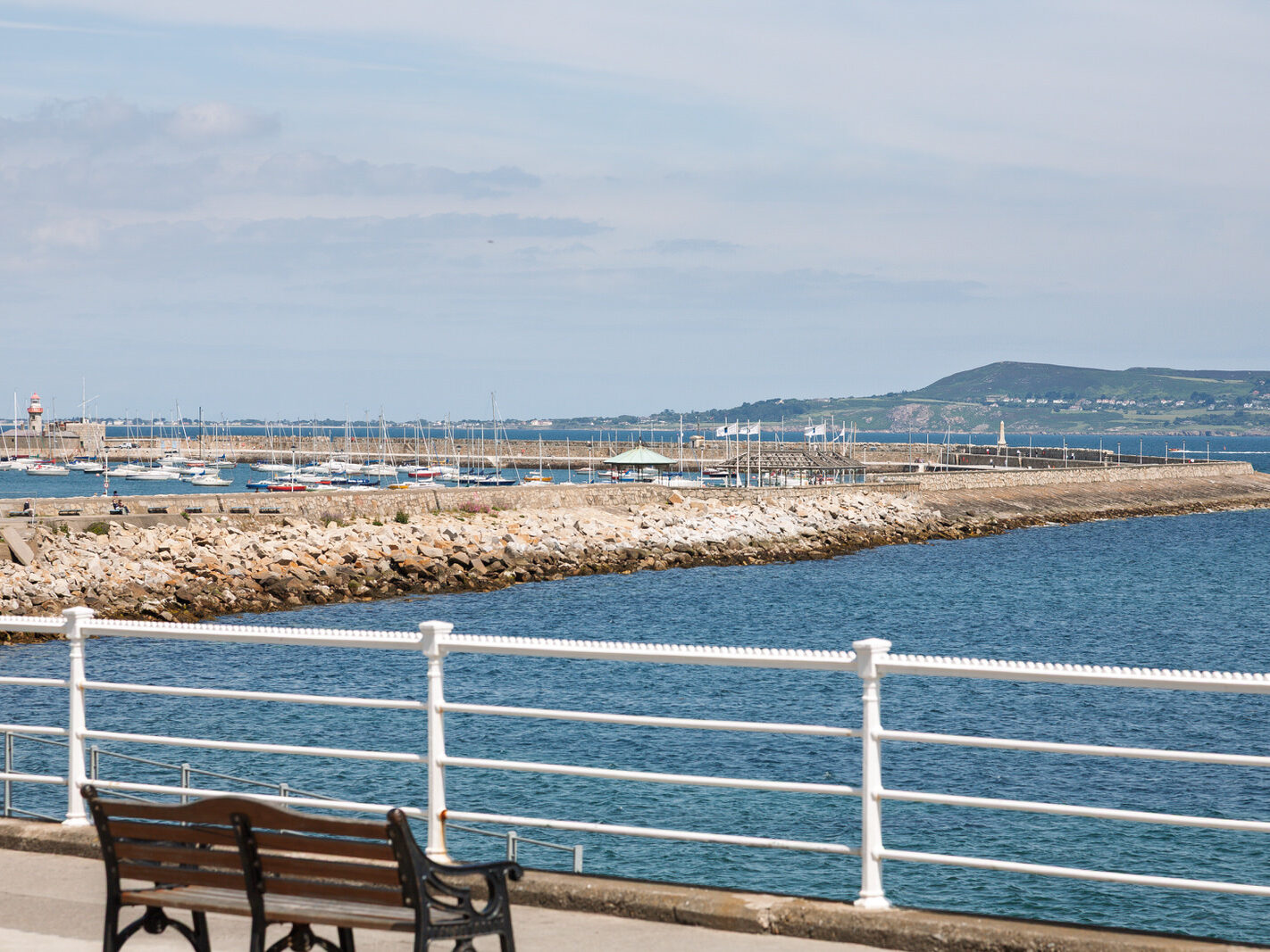
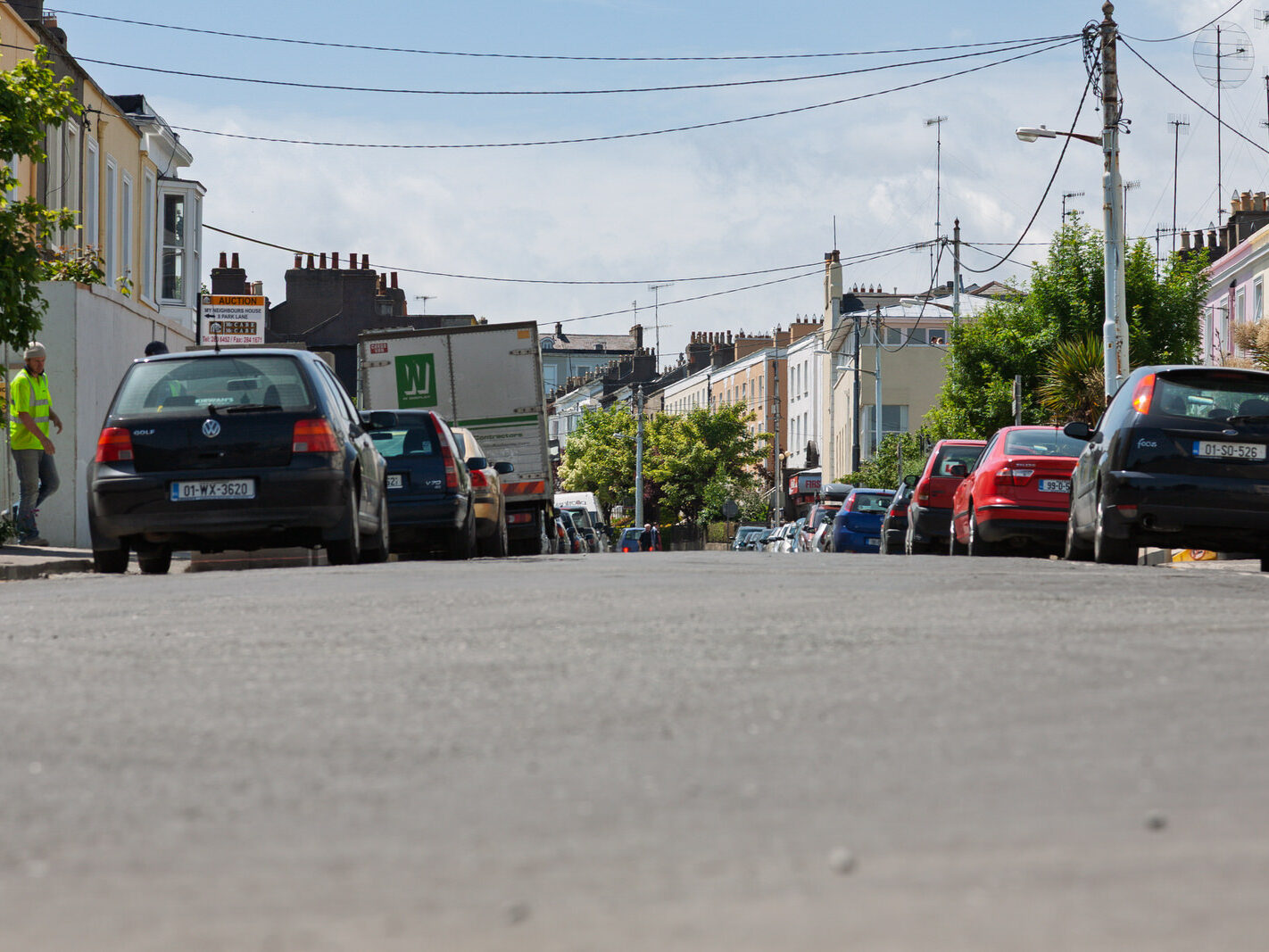
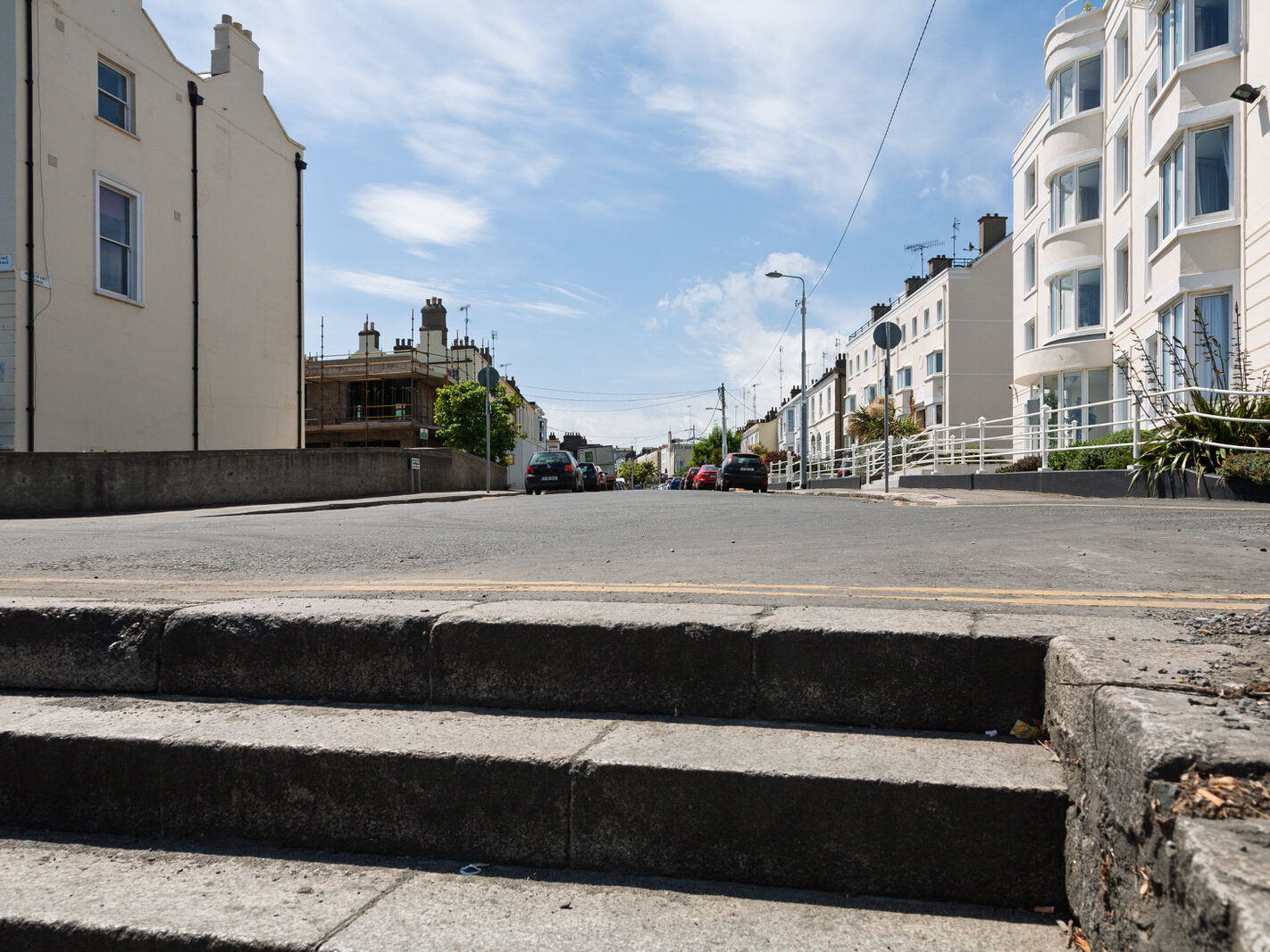
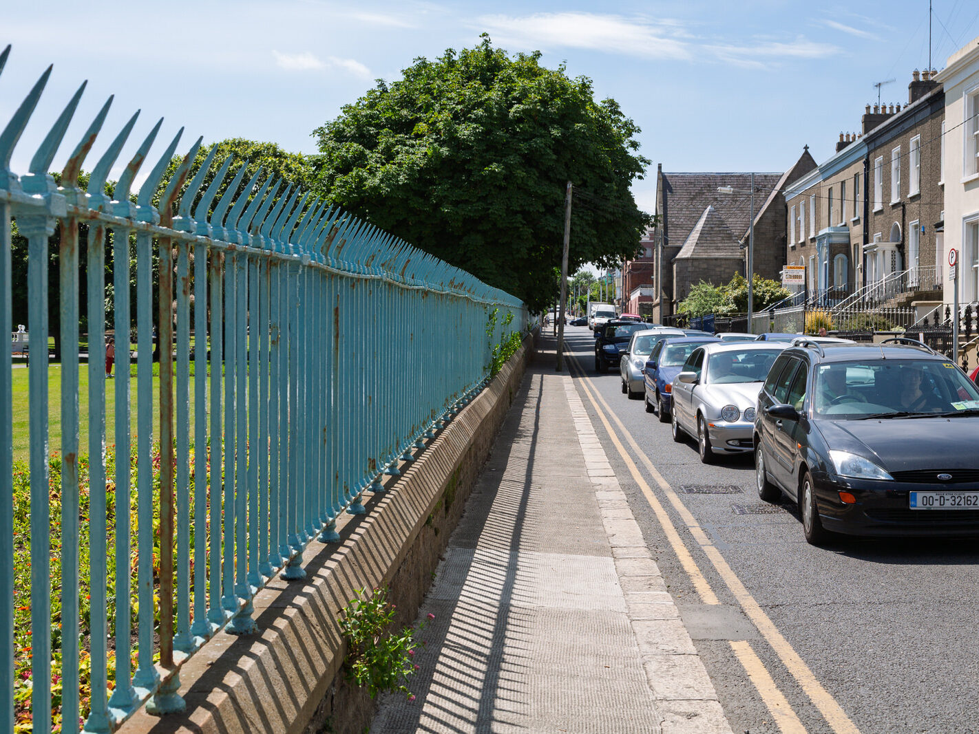
I used an original Canon 5D with a Canon 24-105mm F4 lens
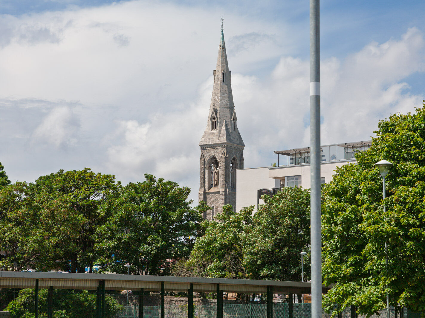
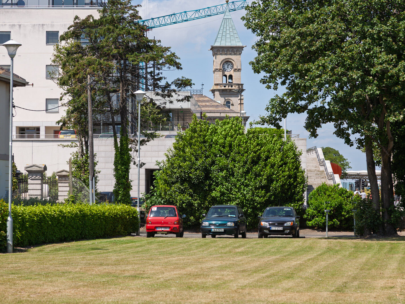
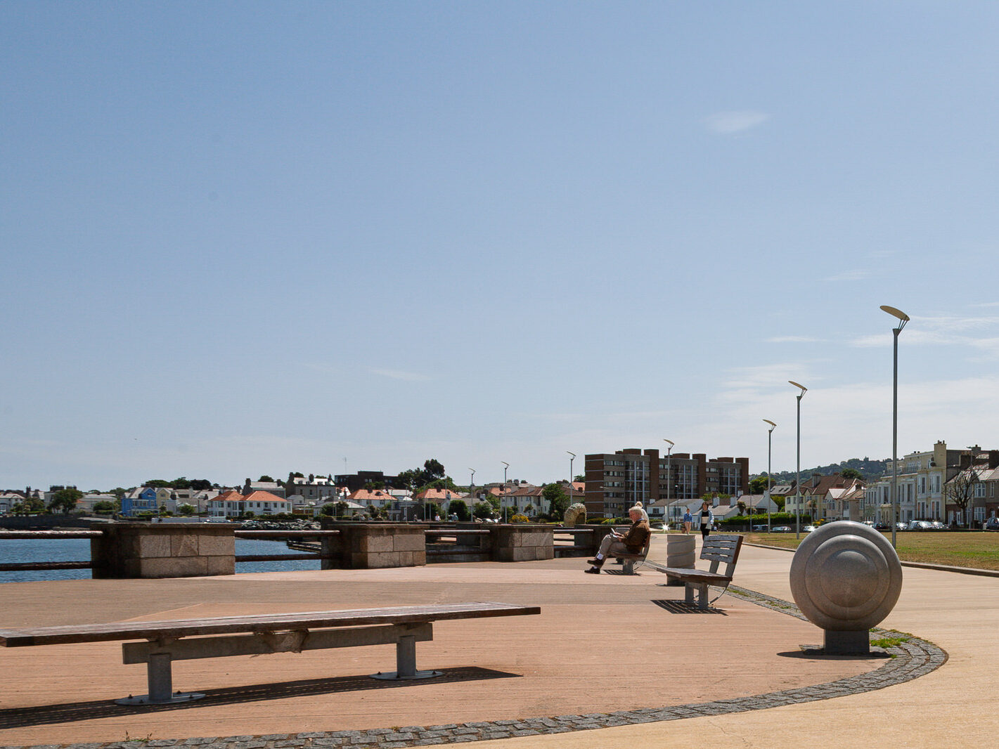
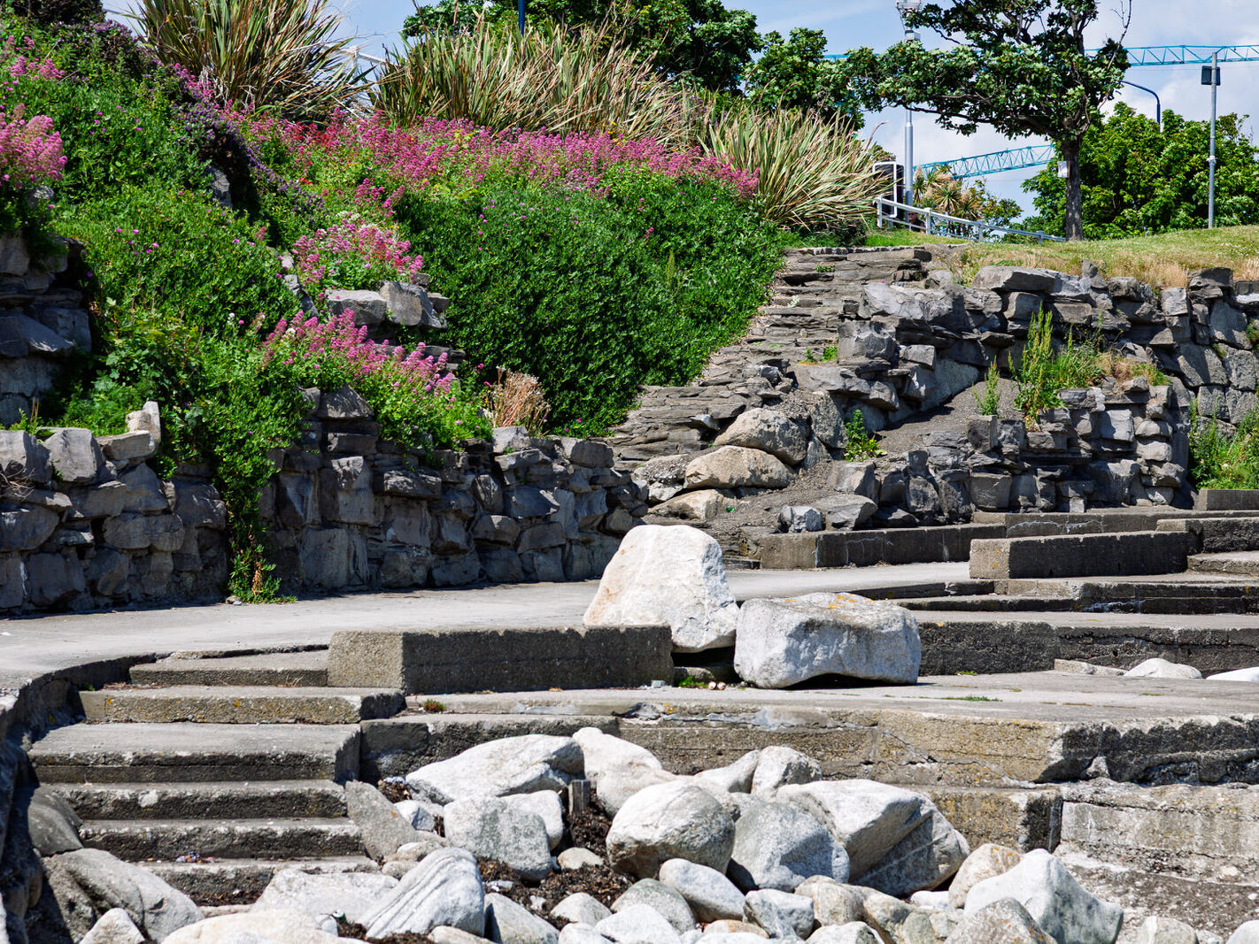
Twenty years ago, Dún Laoghaire presented a stark visual contrast between its grand Victorian maritime ambition and late-twentieth-century urban decay.
Dún Laoghaire Twenty Years Ago (c. 2006)
Two decades ago, a walk along the seafront revealed a town caught in limbo:
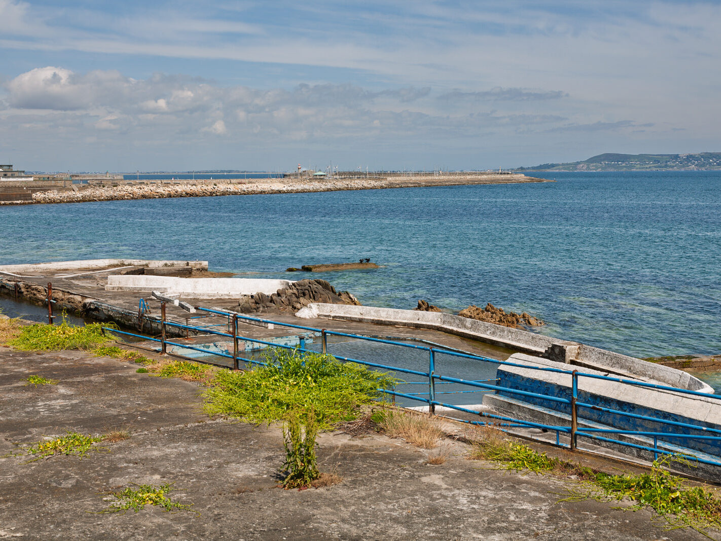
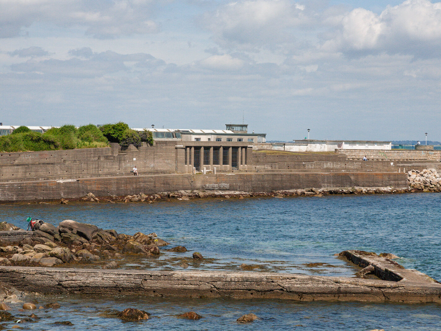
The Derelict Baths: The Victorian Dún Laoghaire Baths—closed since 1997—were the seafront’s most notorious eyesore. The site was covered in peeling paint, rust, broken fencing, and graffiti, fenced off from the public while contentious commercial redevelopment schemes stalled.
Fading Ferry Identity: The massive Stena HSS fast-ferry still dominated St Michael’s Pier, but passenger numbers were dropping as Dublin Port captured commercial traffic. The ferry terminal’s vast concrete marshalling yards created a physical and visual barrier between the harbour and the town centre.
Tired Public Realm: Pavements were cracked, street furniture was dated, and the connection between George’s Street (the retail spine) and the waterfront felt severed by heavy road traffic along Queens Road and Marine Road.
Neglected Green Spaces: While the Victorian bandstand and the People’s Park retained their historic charm, the park lacked modern catering amenities and suffered from underinvestment before its major restoration.
What Has Changed Since 2006
Since then, significant public investment has refocused the town from a transit ferry port into a cultural, recreational, and culinary coastal destination.
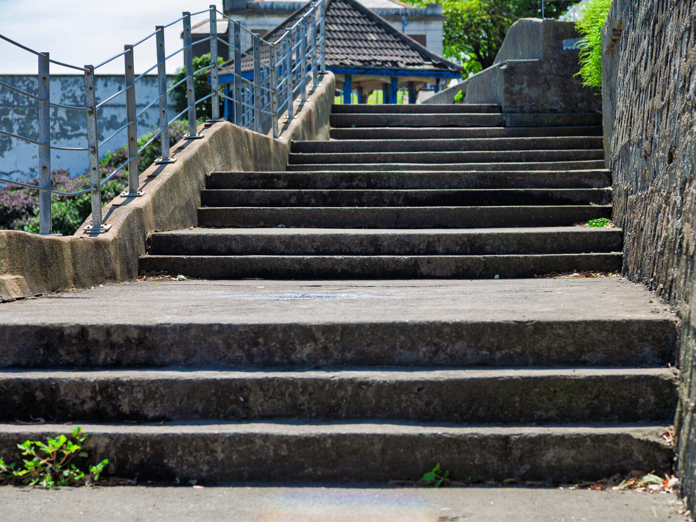
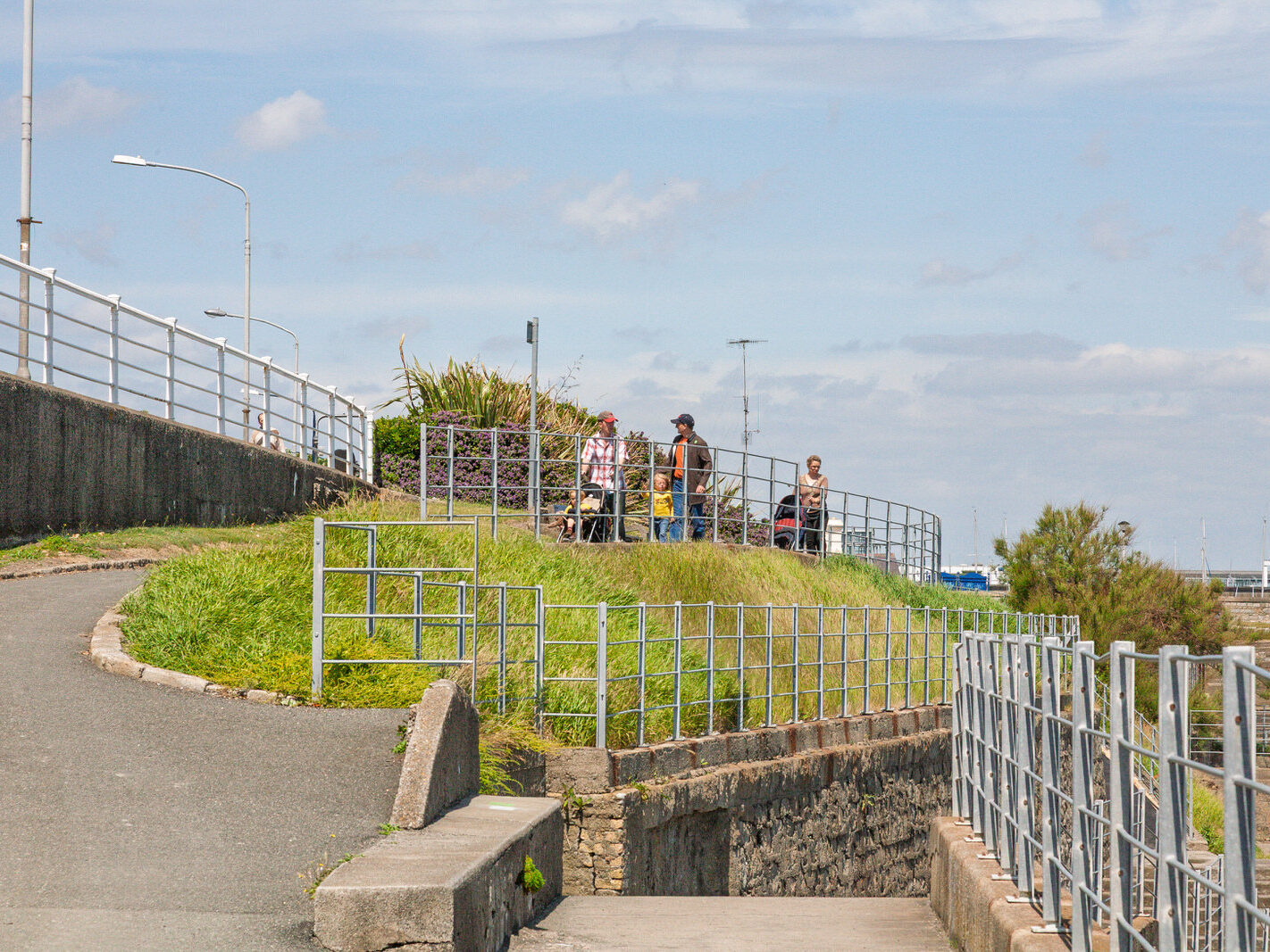
Restoration of the Dún Laoghaire Baths: After a multi-million-euro project, the site reopened to the public. The Edwardian pavilion was restored to house artist studios and a café, complemented by stepped sea-view terraces, a 35-metre jetty, a bronze statue of Roger Casement, and direct, universally accessible sea access.
The dlr LexIcon: Opened in 2014, this landmark central library and cultural centre sits as an imposing red-brick and granite presence on the skyline, anchoring cultural activity and knitting Moran Park back into the seafront promenade.
Revitalised People’s Park: Comprehensively restored, the Victorian tea rooms were reopened, gardens refreshed, and its Sunday farmers’ market turned into one of south Dublin’s premier weekend food destinations.
The Metals and Active Travel: The historic route connecting the quarries at Dalkey to the harbour (“The Metals”) was upgraded with dedicated pedestrian and cycle paths, tying directly into the Coastal Mobility Route (CMR)—a segregated coastal cycle route that transformed sustainable transport across the seafront.
End of the Ferries: Stena Line permanently discontinued service in 2014. The old ferry terminal ceased industrial operations and transitioned into an incubation hub and enterprise space (the Harbour Innovation Campus), ending the roar of roll-on/roll-off traffic.
Expected and Planned Changes
The town’s development trajectory is moving away from motor-led infrastructure towards climate resilience, harbour access, and urban regeneration.
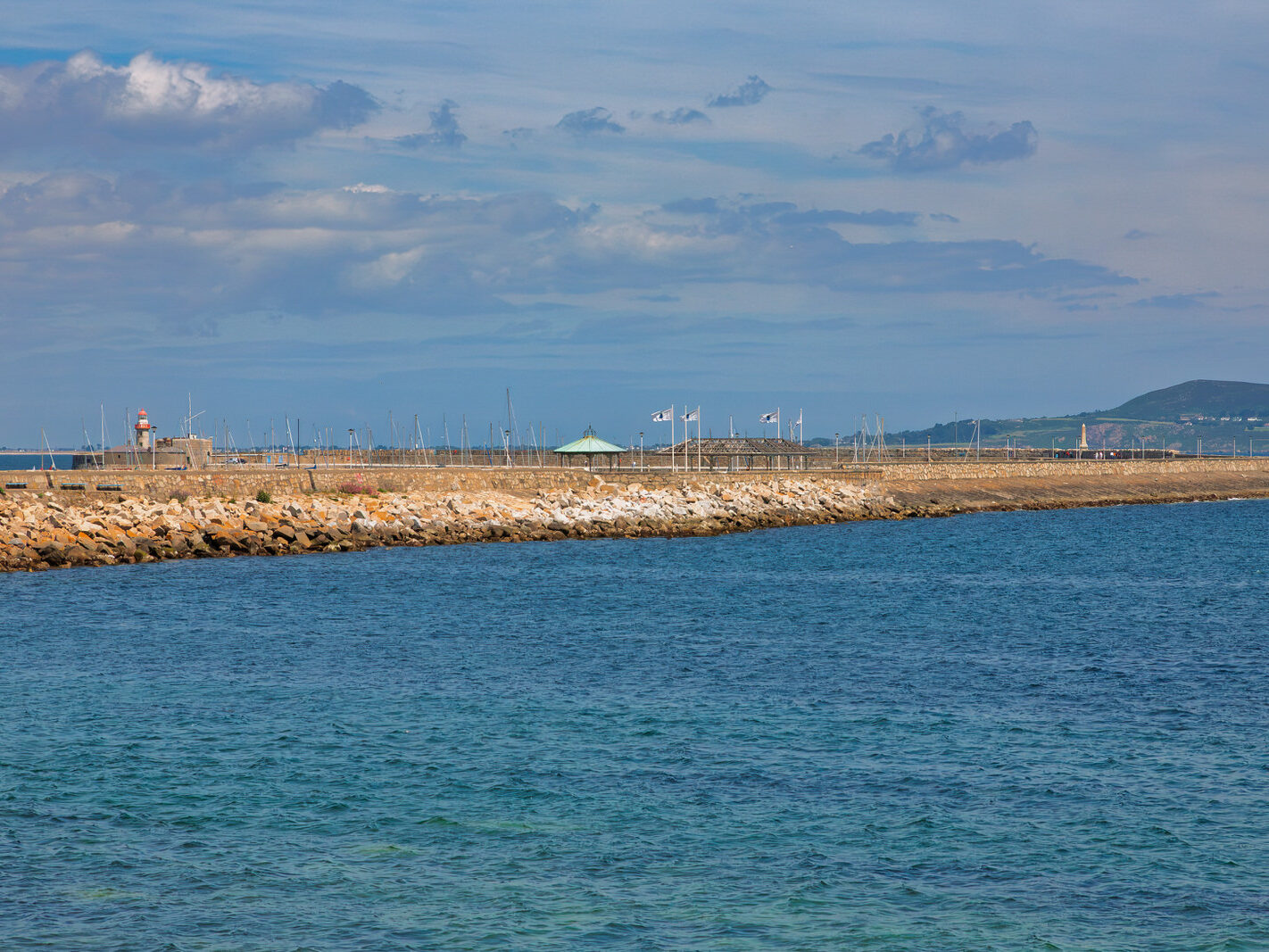
Dún Laoghaire Harbour Masterplan: Led by Dún Laoghaire-Rathdown County Council and an international architectural consortium, the “Living Harbour” framework aims to reimagine roughly 50 acres of land and 200 acres of water. Plans focus on opening restricted quayside areas to the public, fostering water-sports hubs, expanding floating pontoons, and building climate resilience.
Reconnection of Town and Sea: Future capital schemes aim to narrow visual and physical road divides, creating continuous pedestrian plazas from George’s Street down through Marine Road directly onto the piers.
Potential Seawater Pool: While the restored Baths omitted an enclosed pool, structural foundations and an open void were preserved under the lower plaza to allow a tidal or heated outdoor seawater swimming pool to be built in a future phase.
Urban Living & Heritage Infill: Ongoing local development plans focus on converting upper-floor commercial buildings into residential apartments and regenerating brownfield plots around the harbour edges to repopulate the town core.
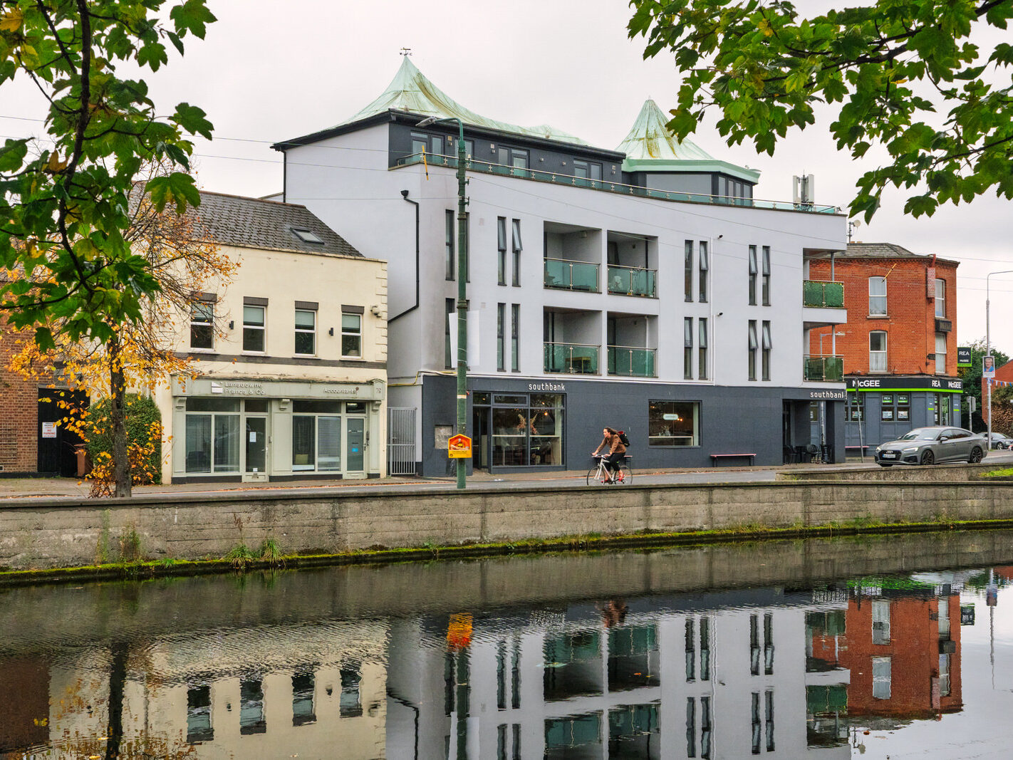
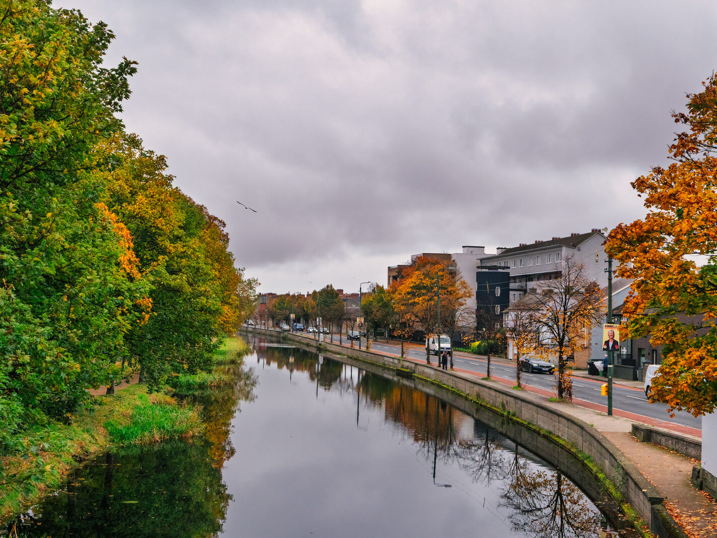
![HARCOURT STREET AREA REDEVELOPMENT [TWO SIGNIFICANT PROJECTS]-247204-1](https://excellentstreetimages.com/PhotoniqueSouthOfTheRiverLiffey/wp-content/uploads/2025/02/HARCOURT-STREET-AREA-REDEVELOPMENT-TWO-SIGNIFICANT-PROJECTS-247204-1-1422x1067.jpg "HARCOURT STREET AREA REDEVELOPMENT [TWO SIGNIFICANT PROJECTS]-247204-1")
![HARCOURT STREET AREA REDEVELOPMENT [TWO SIGNIFICANT PROJECTS]-247205-1](https://excellentstreetimages.com/PhotoniqueSouthOfTheRiverLiffey/wp-content/uploads/2025/02/HARCOURT-STREET-AREA-REDEVELOPMENT-TWO-SIGNIFICANT-PROJECTS-247205-1-1422x1067.jpg "HARCOURT STREET AREA REDEVELOPMENT [TWO SIGNIFICANT PROJECTS]-247205-1")
![HARCOURT STREET AREA REDEVELOPMENT [TWO SIGNIFICANT PROJECTS]-247206-1](https://excellentstreetimages.com/PhotoniqueSouthOfTheRiverLiffey/wp-content/uploads/2025/02/HARCOURT-STREET-AREA-REDEVELOPMENT-TWO-SIGNIFICANT-PROJECTS-247206-1-1422x1067.jpg "HARCOURT STREET AREA REDEVELOPMENT [TWO SIGNIFICANT PROJECTS]-247206-1")
![HARCOURT STREET AREA REDEVELOPMENT [TWO SIGNIFICANT PROJECTS]-247197-1](https://excellentstreetimages.com/PhotoniqueSouthOfTheRiverLiffey/wp-content/uploads/2025/02/HARCOURT-STREET-AREA-REDEVELOPMENT-TWO-SIGNIFICANT-PROJECTS-247197-1-1422x1067.jpg "HARCOURT STREET AREA REDEVELOPMENT [TWO SIGNIFICANT PROJECTS]-247197-1")
![HARCOURT STREET AREA REDEVELOPMENT [TWO SIGNIFICANT PROJECTS]-247198-1](https://excellentstreetimages.com/PhotoniqueSouthOfTheRiverLiffey/wp-content/uploads/2025/02/HARCOURT-STREET-AREA-REDEVELOPMENT-TWO-SIGNIFICANT-PROJECTS-247198-1-1422x1067.jpg "HARCOURT STREET AREA REDEVELOPMENT [TWO SIGNIFICANT PROJECTS]-247198-1")
![HARCOURT STREET AREA REDEVELOPMENT [TWO SIGNIFICANT PROJECTS]-247199-1](https://excellentstreetimages.com/PhotoniqueSouthOfTheRiverLiffey/wp-content/uploads/2025/02/HARCOURT-STREET-AREA-REDEVELOPMENT-TWO-SIGNIFICANT-PROJECTS-247199-1-1422x1067.jpg "HARCOURT STREET AREA REDEVELOPMENT [TWO SIGNIFICANT PROJECTS]-247199-1")
![HARCOURT STREET AREA REDEVELOPMENT [TWO SIGNIFICANT PROJECTS]-247200-1](https://excellentstreetimages.com/PhotoniqueSouthOfTheRiverLiffey/wp-content/uploads/2025/02/HARCOURT-STREET-AREA-REDEVELOPMENT-TWO-SIGNIFICANT-PROJECTS-247200-1-1422x1067.jpg "HARCOURT STREET AREA REDEVELOPMENT [TWO SIGNIFICANT PROJECTS]-247200-1")
![HARCOURT STREET AREA REDEVELOPMENT [TWO SIGNIFICANT PROJECTS]-247201-1](https://excellentstreetimages.com/PhotoniqueSouthOfTheRiverLiffey/wp-content/uploads/2025/02/HARCOURT-STREET-AREA-REDEVELOPMENT-TWO-SIGNIFICANT-PROJECTS-247201-1-1422x1067.jpg "HARCOURT STREET AREA REDEVELOPMENT [TWO SIGNIFICANT PROJECTS]-247201-1")
![HARCOURT STREET AREA REDEVELOPMENT [TWO SIGNIFICANT PROJECTS]-247202-1](https://excellentstreetimages.com/PhotoniqueSouthOfTheRiverLiffey/wp-content/uploads/2025/02/HARCOURT-STREET-AREA-REDEVELOPMENT-TWO-SIGNIFICANT-PROJECTS-247202-1-1422x1067.jpg "HARCOURT STREET AREA REDEVELOPMENT [TWO SIGNIFICANT PROJECTS]-247202-1")
![HARCOURT STREET AREA REDEVELOPMENT [TWO SIGNIFICANT PROJECTS]-247203-1](https://excellentstreetimages.com/PhotoniqueSouthOfTheRiverLiffey/wp-content/uploads/2025/02/HARCOURT-STREET-AREA-REDEVELOPMENT-TWO-SIGNIFICANT-PROJECTS-247203-1-1422x1067.jpg "HARCOURT STREET AREA REDEVELOPMENT [TWO SIGNIFICANT PROJECTS]-247203-1")
![HARCOURT STREET AREA REDEVELOPMENT [TWO SIGNIFICANT PROJECTS]-247190-1](https://excellentstreetimages.com/PhotoniqueSouthOfTheRiverLiffey/wp-content/uploads/2025/02/HARCOURT-STREET-AREA-REDEVELOPMENT-TWO-SIGNIFICANT-PROJECTS-247190-1-1422x1067.jpg "HARCOURT STREET AREA REDEVELOPMENT [TWO SIGNIFICANT PROJECTS]-247190-1")
![HARCOURT STREET AREA REDEVELOPMENT [TWO SIGNIFICANT PROJECTS]-247191-1](https://excellentstreetimages.com/PhotoniqueSouthOfTheRiverLiffey/wp-content/uploads/2025/02/HARCOURT-STREET-AREA-REDEVELOPMENT-TWO-SIGNIFICANT-PROJECTS-247191-1-1422x1067.jpg "HARCOURT STREET AREA REDEVELOPMENT [TWO SIGNIFICANT PROJECTS]-247191-1")
![HARCOURT STREET AREA REDEVELOPMENT [TWO SIGNIFICANT PROJECTS]-247192-1](https://excellentstreetimages.com/PhotoniqueSouthOfTheRiverLiffey/wp-content/uploads/2025/02/HARCOURT-STREET-AREA-REDEVELOPMENT-TWO-SIGNIFICANT-PROJECTS-247192-1-1422x1067.jpg "HARCOURT STREET AREA REDEVELOPMENT [TWO SIGNIFICANT PROJECTS]-247192-1")
![HARCOURT STREET AREA REDEVELOPMENT [TWO SIGNIFICANT PROJECTS]-247193-1](https://excellentstreetimages.com/PhotoniqueSouthOfTheRiverLiffey/wp-content/uploads/2025/02/HARCOURT-STREET-AREA-REDEVELOPMENT-TWO-SIGNIFICANT-PROJECTS-247193-1-1422x1067.jpg "HARCOURT STREET AREA REDEVELOPMENT [TWO SIGNIFICANT PROJECTS]-247193-1")
![HARCOURT STREET AREA REDEVELOPMENT [TWO SIGNIFICANT PROJECTS]-247194-1](https://excellentstreetimages.com/PhotoniqueSouthOfTheRiverLiffey/wp-content/uploads/2025/02/HARCOURT-STREET-AREA-REDEVELOPMENT-TWO-SIGNIFICANT-PROJECTS-247194-1-1422x1067.jpg "HARCOURT STREET AREA REDEVELOPMENT [TWO SIGNIFICANT PROJECTS]-247194-1")
![HARCOURT STREET AREA REDEVELOPMENT [TWO SIGNIFICANT PROJECTS]-247195-1](https://excellentstreetimages.com/PhotoniqueSouthOfTheRiverLiffey/wp-content/uploads/2025/02/HARCOURT-STREET-AREA-REDEVELOPMENT-TWO-SIGNIFICANT-PROJECTS-247195-1-1422x1067.jpg "HARCOURT STREET AREA REDEVELOPMENT [TWO SIGNIFICANT PROJECTS]-247195-1")
![HARCOURT STREET AREA REDEVELOPMENT [TWO SIGNIFICANT PROJECTS]-247196-1](https://excellentstreetimages.com/PhotoniqueSouthOfTheRiverLiffey/wp-content/uploads/2025/02/HARCOURT-STREET-AREA-REDEVELOPMENT-TWO-SIGNIFICANT-PROJECTS-247196-1-1422x1067.jpg "HARCOURT STREET AREA REDEVELOPMENT [TWO SIGNIFICANT PROJECTS]-247196-1")
![HARCOURT STREET AREA REDEVELOPMENT [TWO SIGNIFICANT PROJECTS]-247187-1](https://excellentstreetimages.com/PhotoniqueSouthOfTheRiverLiffey/wp-content/uploads/2025/02/HARCOURT-STREET-AREA-REDEVELOPMENT-TWO-SIGNIFICANT-PROJECTS-247187-1-1422x1067.jpg "HARCOURT STREET AREA REDEVELOPMENT [TWO SIGNIFICANT PROJECTS]-247187-1")
![HARCOURT STREET AREA REDEVELOPMENT [TWO SIGNIFICANT PROJECTS]-247188-1](https://excellentstreetimages.com/PhotoniqueSouthOfTheRiverLiffey/wp-content/uploads/2025/02/HARCOURT-STREET-AREA-REDEVELOPMENT-TWO-SIGNIFICANT-PROJECTS-247188-1-1422x1067.jpg "HARCOURT STREET AREA REDEVELOPMENT [TWO SIGNIFICANT PROJECTS]-247188-1")
![HARCOURT STREET AREA REDEVELOPMENT [TWO SIGNIFICANT PROJECTS]-247189-1](https://excellentstreetimages.com/PhotoniqueSouthOfTheRiverLiffey/wp-content/uploads/2025/02/HARCOURT-STREET-AREA-REDEVELOPMENT-TWO-SIGNIFICANT-PROJECTS-247189-1-1422x1067.jpg "HARCOURT STREET AREA REDEVELOPMENT [TWO SIGNIFICANT PROJECTS]-247189-1")
![HARCOURT STREET AREA REDEVELOPMENT [TWO SIGNIFICANT PROJECTS]-247183-1](https://excellentstreetimages.com/PhotoniqueSouthOfTheRiverLiffey/wp-content/uploads/2025/02/HARCOURT-STREET-AREA-REDEVELOPMENT-TWO-SIGNIFICANT-PROJECTS-247183-1-1422x1067.jpg "HARCOURT STREET AREA REDEVELOPMENT [TWO SIGNIFICANT PROJECTS]-247183-1")
![HARCOURT STREET AREA REDEVELOPMENT [TWO SIGNIFICANT PROJECTS]-247184-1](https://excellentstreetimages.com/PhotoniqueSouthOfTheRiverLiffey/wp-content/uploads/2025/02/HARCOURT-STREET-AREA-REDEVELOPMENT-TWO-SIGNIFICANT-PROJECTS-247184-1-1422x1067.jpg "HARCOURT STREET AREA REDEVELOPMENT [TWO SIGNIFICANT PROJECTS]-247184-1")
![HARCOURT STREET AREA REDEVELOPMENT [TWO SIGNIFICANT PROJECTS]-247185-1](https://excellentstreetimages.com/PhotoniqueSouthOfTheRiverLiffey/wp-content/uploads/2025/02/HARCOURT-STREET-AREA-REDEVELOPMENT-TWO-SIGNIFICANT-PROJECTS-247185-1-1422x1067.jpg "HARCOURT STREET AREA REDEVELOPMENT [TWO SIGNIFICANT PROJECTS]-247185-1")
![HARCOURT STREET AREA REDEVELOPMENT [TWO SIGNIFICANT PROJECTS]-247186-1](https://excellentstreetimages.com/PhotoniqueSouthOfTheRiverLiffey/wp-content/uploads/2025/02/HARCOURT-STREET-AREA-REDEVELOPMENT-TWO-SIGNIFICANT-PROJECTS-247186-1-1422x1067.jpg "HARCOURT STREET AREA REDEVELOPMENT [TWO SIGNIFICANT PROJECTS]-247186-1")
![HARCOURT STREET AREA REDEVELOPMENT [TWO SIGNIFICANT PROJECTS]-247179-1](https://excellentstreetimages.com/PhotoniqueSouthOfTheRiverLiffey/wp-content/uploads/2025/02/HARCOURT-STREET-AREA-REDEVELOPMENT-TWO-SIGNIFICANT-PROJECTS-247179-1-1422x1067.jpg "HARCOURT STREET AREA REDEVELOPMENT [TWO SIGNIFICANT PROJECTS]-247179-1")
![HARCOURT STREET AREA REDEVELOPMENT [TWO SIGNIFICANT PROJECTS]-247180-1](https://excellentstreetimages.com/PhotoniqueSouthOfTheRiverLiffey/wp-content/uploads/2025/02/HARCOURT-STREET-AREA-REDEVELOPMENT-TWO-SIGNIFICANT-PROJECTS-247180-1-1422x1067.jpg "HARCOURT STREET AREA REDEVELOPMENT [TWO SIGNIFICANT PROJECTS]-247180-1")
![HARCOURT STREET AREA REDEVELOPMENT [TWO SIGNIFICANT PROJECTS]-247181-1](https://excellentstreetimages.com/PhotoniqueSouthOfTheRiverLiffey/wp-content/uploads/2025/02/HARCOURT-STREET-AREA-REDEVELOPMENT-TWO-SIGNIFICANT-PROJECTS-247181-1-1422x1067.jpg "HARCOURT STREET AREA REDEVELOPMENT [TWO SIGNIFICANT PROJECTS]-247181-1")
![HARCOURT STREET AREA REDEVELOPMENT [TWO SIGNIFICANT PROJECTS]-247182-1](https://excellentstreetimages.com/PhotoniqueSouthOfTheRiverLiffey/wp-content/uploads/2025/02/HARCOURT-STREET-AREA-REDEVELOPMENT-TWO-SIGNIFICANT-PROJECTS-247182-1-1422x1067.jpg "HARCOURT STREET AREA REDEVELOPMENT [TWO SIGNIFICANT PROJECTS]-247182-1")
![CUFFE STREET [ON A REALLY WET DAY]-244002-1](https://excellentstreetimages.com/PhotoniqueSouthOfTheRiverLiffey/wp-content/uploads/2024/11/CUFFE-STREET-ON-A-REALLY-WET-DAY-244002-1.jpg "CUFFE STREET [ON A REALLY WET DAY]-244002-1")
![CUFFE STREET [ON A REALLY WET DAY]-243998-1](https://excellentstreetimages.com/PhotoniqueSouthOfTheRiverLiffey/wp-content/uploads/2024/11/CUFFE-STREET-ON-A-REALLY-WET-DAY-243998-1.jpg "CUFFE STREET [ON A REALLY WET DAY]-243998-1")
![CUFFE STREET [ON A REALLY WET DAY]-243999-1](https://excellentstreetimages.com/PhotoniqueSouthOfTheRiverLiffey/wp-content/uploads/2024/11/CUFFE-STREET-ON-A-REALLY-WET-DAY-243999-1.jpg "CUFFE STREET [ON A REALLY WET DAY]-243999-1")
![CUFFE STREET [ON A REALLY WET DAY]-244000-1](https://excellentstreetimages.com/PhotoniqueSouthOfTheRiverLiffey/wp-content/uploads/2024/11/CUFFE-STREET-ON-A-REALLY-WET-DAY-244000-1.jpg "CUFFE STREET [ON A REALLY WET DAY]-244000-1")
![CUFFE STREET [ON A REALLY WET DAY]-244001-1](https://excellentstreetimages.com/PhotoniqueSouthOfTheRiverLiffey/wp-content/uploads/2024/11/CUFFE-STREET-ON-A-REALLY-WET-DAY-244001-1.jpg "CUFFE STREET [ON A REALLY WET DAY]-244001-1")
![MONKSTOWN VILLAGE [SEPTEMBER 2024]-241644-1](https://excellentstreetimages.com/PhotoniqueSouthOfTheRiverLiffey/wp-content/uploads/2024/09/MONKSTOWN-VILLAGE-SEPTEMBER-2024-241644-1-1422x1067.jpg "MONKSTOWN VILLAGE [SEPTEMBER 2024]-241644-1")
![MONKSTOWN VILLAGE [SEPTEMBER 2024]-241643-1](https://excellentstreetimages.com/PhotoniqueSouthOfTheRiverLiffey/wp-content/uploads/2024/09/MONKSTOWN-VILLAGE-SEPTEMBER-2024-241643-1-1422x1067.jpg "MONKSTOWN VILLAGE [SEPTEMBER 2024]-241643-1")
![MONKSTOWN VILLAGE [SEPTEMBER 2024]-241642-1](https://excellentstreetimages.com/PhotoniqueSouthOfTheRiverLiffey/wp-content/uploads/2024/09/MONKSTOWN-VILLAGE-SEPTEMBER-2024-241642-1-1422x1067.jpg "MONKSTOWN VILLAGE [SEPTEMBER 2024]-241642-1")
![MONKSTOWN VILLAGE [SEPTEMBER 2024]-241641-1](https://excellentstreetimages.com/PhotoniqueSouthOfTheRiverLiffey/wp-content/uploads/2024/09/MONKSTOWN-VILLAGE-SEPTEMBER-2024-241641-1-1422x1067.jpg "MONKSTOWN VILLAGE [SEPTEMBER 2024]-241641-1")
![MONKSTOWN VILLAGE [SEPTEMBER 2024]-241640-1](https://excellentstreetimages.com/PhotoniqueSouthOfTheRiverLiffey/wp-content/uploads/2024/09/MONKSTOWN-VILLAGE-SEPTEMBER-2024-241640-1-1422x1067.jpg "MONKSTOWN VILLAGE [SEPTEMBER 2024]-241640-1")
![MONKSTOWN VILLAGE [SEPTEMBER 2024]-241639-1](https://excellentstreetimages.com/PhotoniqueSouthOfTheRiverLiffey/wp-content/uploads/2024/09/MONKSTOWN-VILLAGE-SEPTEMBER-2024-241639-1-1422x1067.jpg "MONKSTOWN VILLAGE [SEPTEMBER 2024]-241639-1")
![MONKSTOWN VILLAGE [SEPTEMBER 2024]-241638-1](https://excellentstreetimages.com/PhotoniqueSouthOfTheRiverLiffey/wp-content/uploads/2024/09/MONKSTOWN-VILLAGE-SEPTEMBER-2024-241638-1-1422x1067.jpg "MONKSTOWN VILLAGE [SEPTEMBER 2024]-241638-1")
![MONKSTOWN VILLAGE [SEPTEMBER 2024]-241637-1](https://excellentstreetimages.com/PhotoniqueSouthOfTheRiverLiffey/wp-content/uploads/2024/09/MONKSTOWN-VILLAGE-SEPTEMBER-2024-241637-1-1422x1067.jpg "MONKSTOWN VILLAGE [SEPTEMBER 2024]-241637-1")
![MONKSTOWN VILLAGE [SEPTEMBER 2024]-241635-1](https://excellentstreetimages.com/PhotoniqueSouthOfTheRiverLiffey/wp-content/uploads/2024/09/MONKSTOWN-VILLAGE-SEPTEMBER-2024-241635-1-1422x1067.jpg "MONKSTOWN VILLAGE [SEPTEMBER 2024]-241635-1")
![MONKSTOWN VILLAGE [SEPTEMBER 2024]-241636-1](https://excellentstreetimages.com/PhotoniqueSouthOfTheRiverLiffey/wp-content/uploads/2024/09/MONKSTOWN-VILLAGE-SEPTEMBER-2024-241636-1-1422x1067.jpg "MONKSTOWN VILLAGE [SEPTEMBER 2024]-241636-1")
![MONKSTOWN VILLAGE [SEPTEMBER 2024]-241634-1](https://excellentstreetimages.com/PhotoniqueSouthOfTheRiverLiffey/wp-content/uploads/2024/09/MONKSTOWN-VILLAGE-SEPTEMBER-2024-241634-1-1422x1067.jpg "MONKSTOWN VILLAGE [SEPTEMBER 2024]-241634-1")
![MONKSTOWN VILLAGE [SEPTEMBER 2024]-241633-1](https://excellentstreetimages.com/PhotoniqueSouthOfTheRiverLiffey/wp-content/uploads/2024/09/MONKSTOWN-VILLAGE-SEPTEMBER-2024-241633-1-1422x1067.jpg "MONKSTOWN VILLAGE [SEPTEMBER 2024]-241633-1")
![MONKSTOWN VILLAGE [SEPTEMBER 2024]-241632-1](https://excellentstreetimages.com/PhotoniqueSouthOfTheRiverLiffey/wp-content/uploads/2024/09/MONKSTOWN-VILLAGE-SEPTEMBER-2024-241632-1-1422x1067.jpg "MONKSTOWN VILLAGE [SEPTEMBER 2024]-241632-1")
![MONKSTOWN VILLAGE [SEPTEMBER 2024]-241631-1](https://excellentstreetimages.com/PhotoniqueSouthOfTheRiverLiffey/wp-content/uploads/2024/09/MONKSTOWN-VILLAGE-SEPTEMBER-2024-241631-1-1422x1067.jpg "MONKSTOWN VILLAGE [SEPTEMBER 2024]-241631-1")
![MONKSTOWN VILLAGE [SEPTEMBER 2024]-241630-1](https://excellentstreetimages.com/PhotoniqueSouthOfTheRiverLiffey/wp-content/uploads/2024/09/MONKSTOWN-VILLAGE-SEPTEMBER-2024-241630-1-1422x1067.jpg "MONKSTOWN VILLAGE [SEPTEMBER 2024]-241630-1")
![MONKSTOWN VILLAGE [SEPTEMBER 2024]-241629-1](https://excellentstreetimages.com/PhotoniqueSouthOfTheRiverLiffey/wp-content/uploads/2024/09/MONKSTOWN-VILLAGE-SEPTEMBER-2024-241629-1-1422x1067.jpg "MONKSTOWN VILLAGE [SEPTEMBER 2024]-241629-1")
![MONKSTOWN VILLAGE [SEPTEMBER 2024]-241628-1](https://excellentstreetimages.com/PhotoniqueSouthOfTheRiverLiffey/wp-content/uploads/2024/09/MONKSTOWN-VILLAGE-SEPTEMBER-2024-241628-1-1422x1067.jpg "MONKSTOWN VILLAGE [SEPTEMBER 2024]-241628-1")
![MONKSTOWN VILLAGE [SEPTEMBER 2024]-241627-1](https://excellentstreetimages.com/PhotoniqueSouthOfTheRiverLiffey/wp-content/uploads/2024/09/MONKSTOWN-VILLAGE-SEPTEMBER-2024-241627-1-1422x1067.jpg "MONKSTOWN VILLAGE [SEPTEMBER 2024]-241627-1")