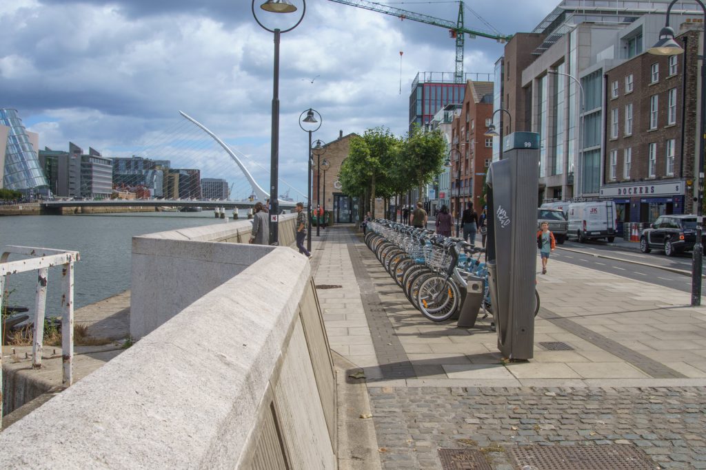
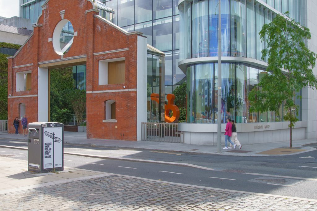
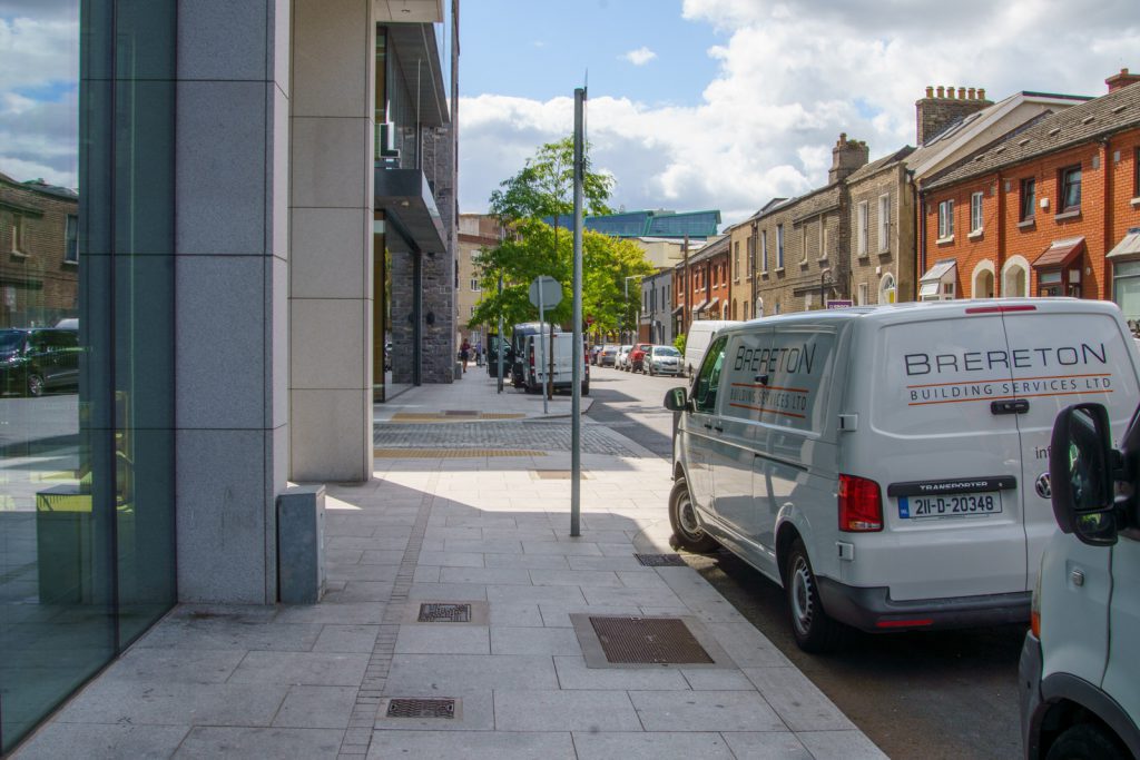
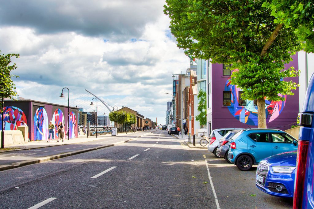
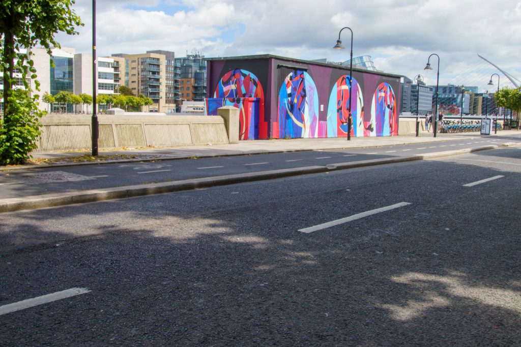
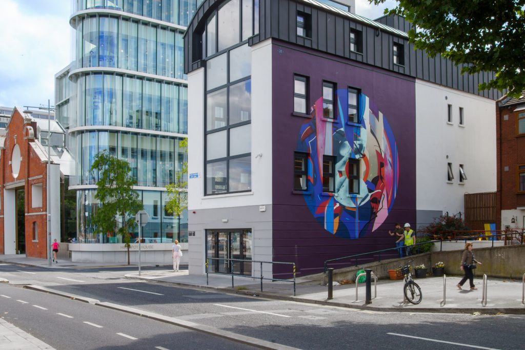
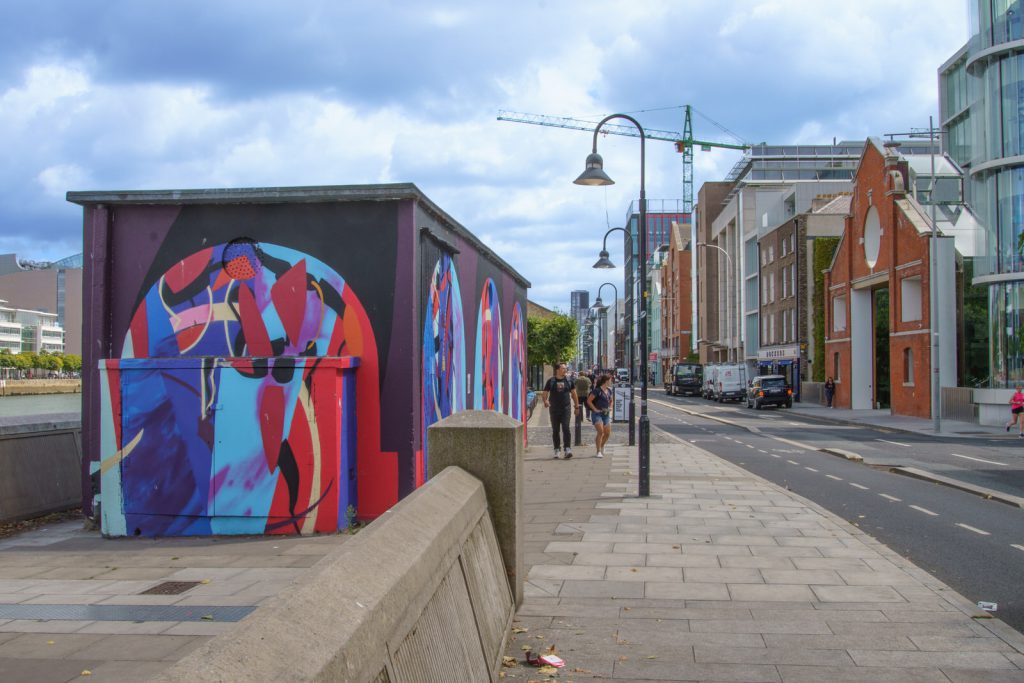
DUBLIN DOCKLANDS AUGUST 2022
As I have no information relating to this multi-location murals on Sir John Rogerson’s Quay I will tell you about the quay itself.
Sir John Rogerson’s Quay is a street and quay in Dublin on the south bank of the River Liffey between City Quay in the west and Britain Quay. Named for politician and property developer Sir John Rogerson (1648–1724), the quay was formerly part of Dublin Port. It has some of the few remaining campshire warehouses in Dublin.
In 1713, Dublin Corporation leased lands on the Liffey to Sir John Rogerson, who was a developer and had been Lord Mayor of Dublin from 1693 to 1694. The lease of 133 acres (54 ha) on the south bank of the river (described as ‘betwixt Lazy Hill and Ringsend’) was conditional on Rogerson constructing a quay on the land.
As part of the privately funded development, a quay wall was built facing the river, with a second wall built further inland. The gap between these walls was filled with sand and gravel dredged from the Liffey. The project commenced in 1716, with the initial phase completed by the early 1720s.
John Rocque’s 1756 map of Dublin shows Rogerson’s quay as largely developed by the mid-18th century. During the early 19th century, the quay serviced larger freight vessels, including colliers which brought coal (from ports like Whitehaven in England) to feed the coal and gas works at nearby Hanover Quay.
By the 20th century, Sir John Rogerson’s Quay was home to a number of shipbuilding and shipping companies, as well as several storehouse types, including cold stores and ‘campshire’ sheds. At the beginning of the “Lotus-Eaters” episode of James Joyce’s Ulysses, set in 1904, Leopold Bloom, one of the novel’s protagonists, walks along Rogerson’s Quay. Joyce describes it at the time as busy with lorry traffic, and notes some of the businesses along it—a linseed crusher, the postal telegraph office, and a sailor’s home.
