THE FIRST MONTH OF 2024
SELECT ANY IMAGE AS THEY ARE MENU OPTIONS

Irish Whiskey
Some of the photographs and videos featured here are from the last week in December but they were published in January 2024

That Cup Of Coffee

Black Tulip
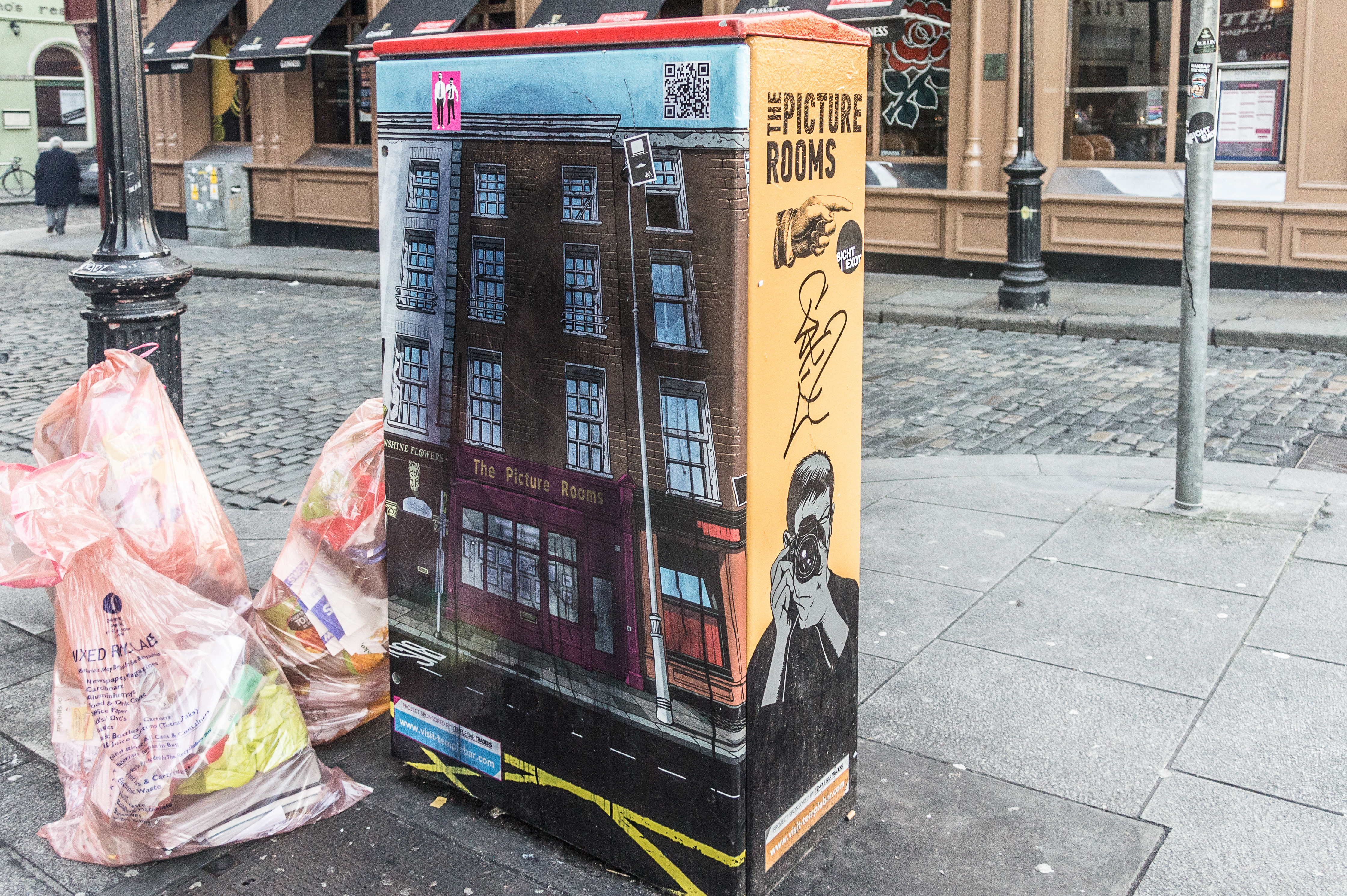
Paint-A-Box 2012
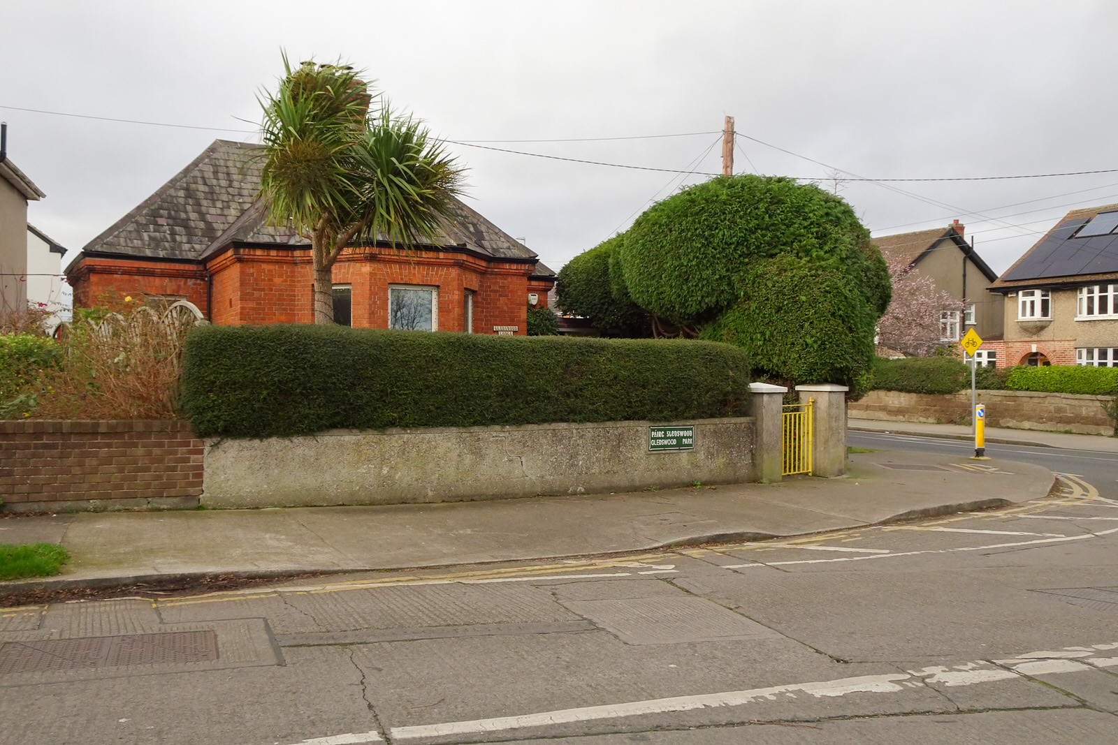
Great Western Square

Black Sheep 2012

Lego Bricks
Fire Station
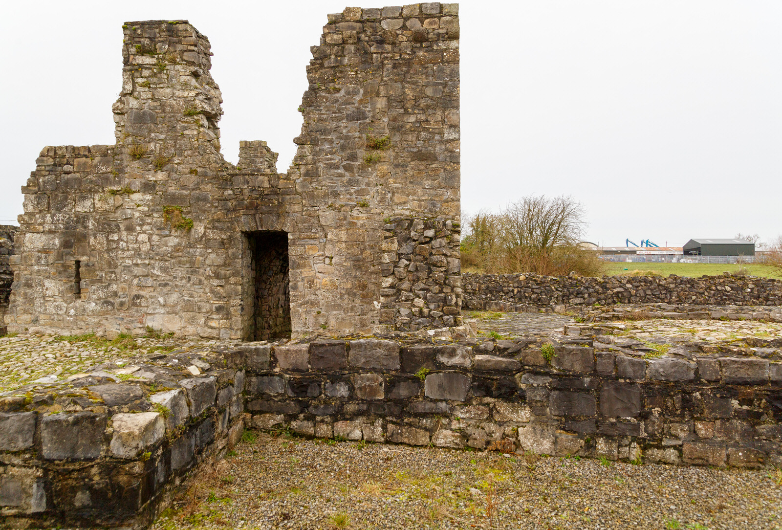
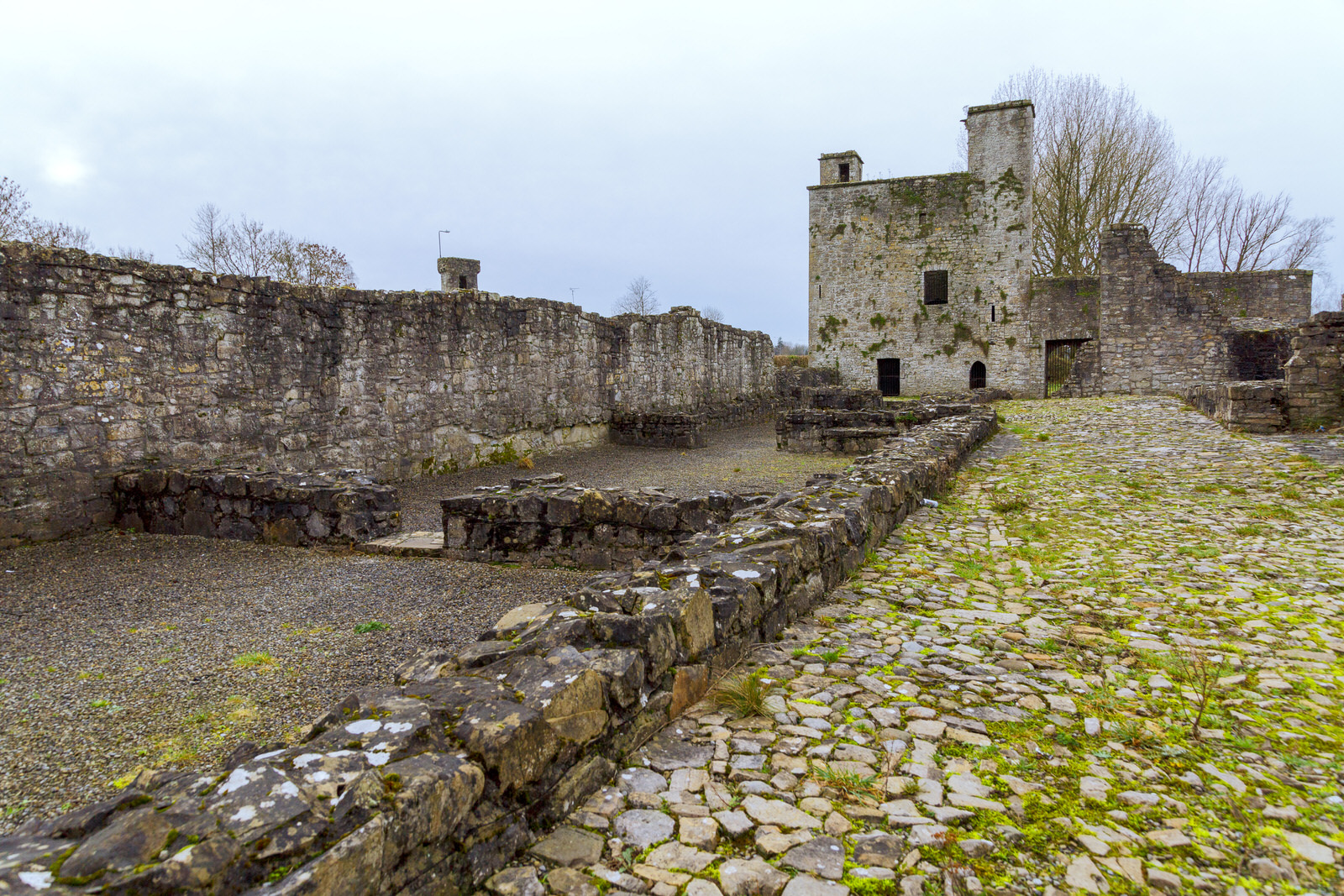
OLD PRIORY IN TRIM
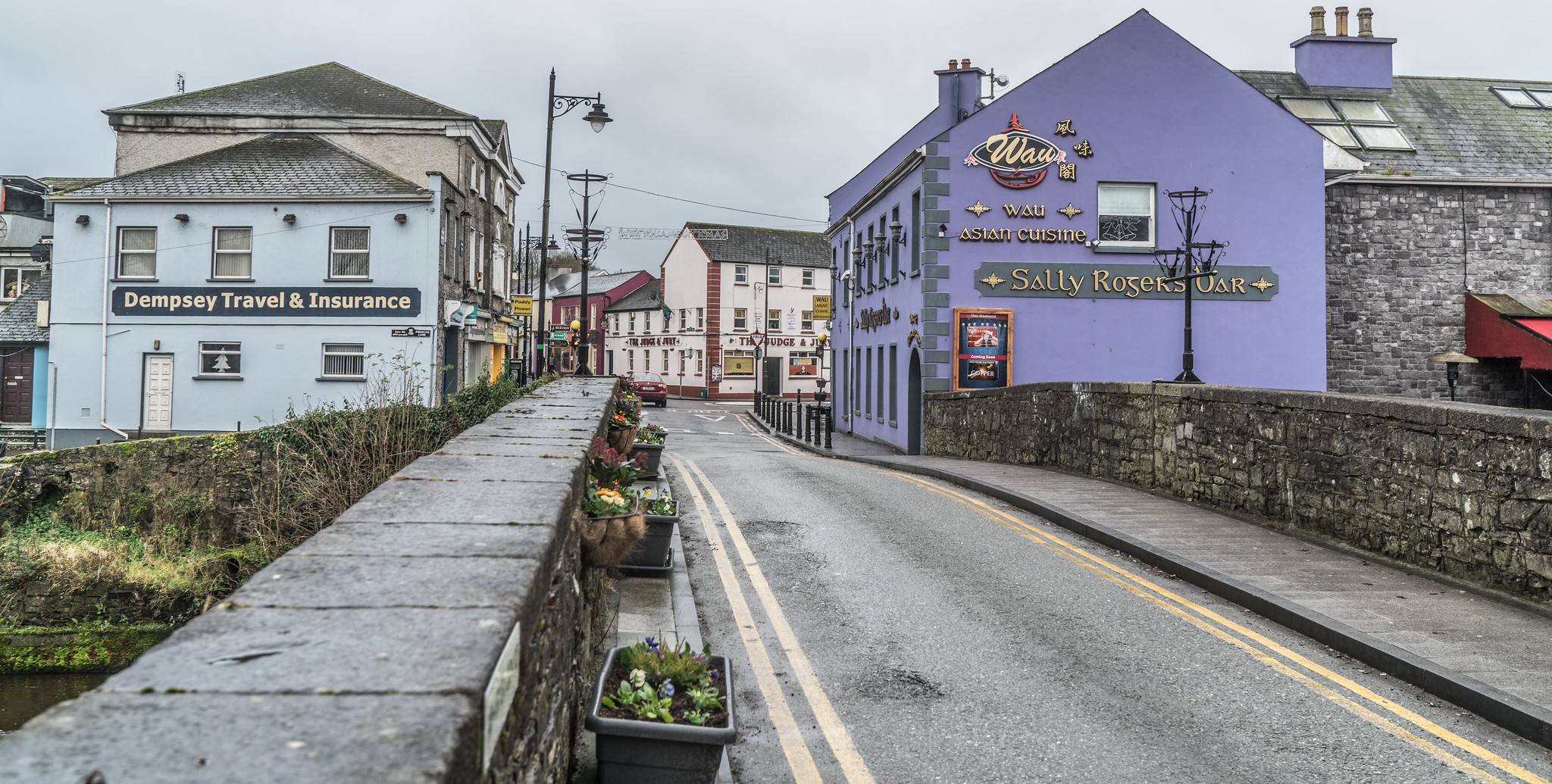
Oldest Bridge
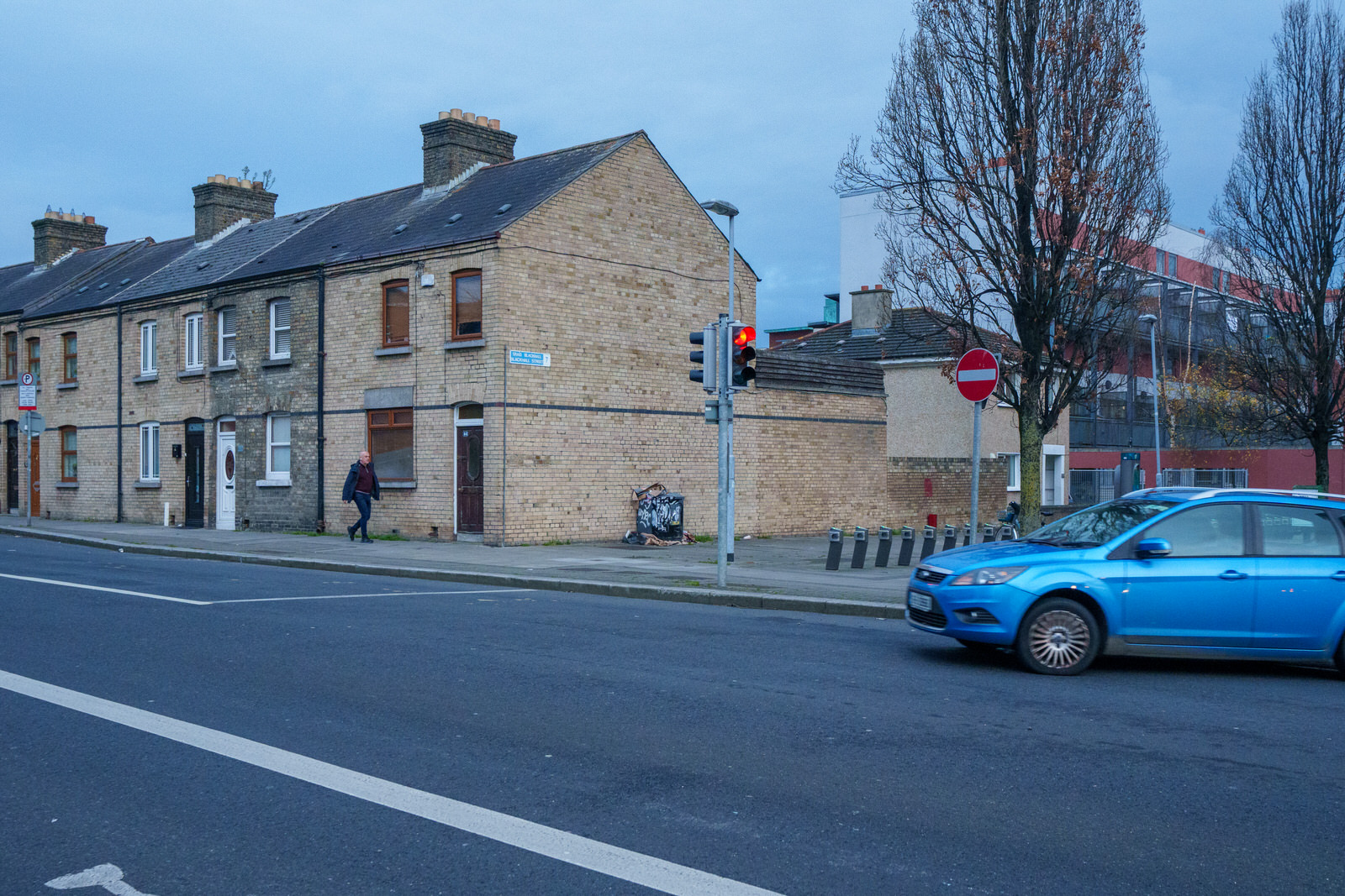
Stoneybatter Area

Phone Zombies
Trim County Meath
Canalside

Charlemont Square
Exploring
Meeting House Square

Sunlight Chambers

ESB SUB STATION

Rendezvous By Bob Quinn

Videos

December 2023 Menu
WE ARE NOW EMPLOYING GOOGLE EARTH
Google Earth is a computer program that renders a 3D representation of Earth based primarily on satellite imagery. The program maps the Earth by superimposing satellite images, aerial photography, and GIS data onto a 3D globe, allowing users to see cities and landscapes from various angles. Users can explore the globe by entering addresses and coordinates, or by using a keyboard or mouse. The program can also be downloaded on a smartphone or tablet, using a touch screen or stylus to navigate. Users may use the program to add their own data using Keyhole Markup Language and upload them through various sources, such as forums or blogs. Google Earth is able to show various kinds of images overlaid on the surface of the Earth and is also a Web Map Service client. In 2019, Google revealed that Google Earth now covers more than 97 percent of the world, and has captured 10 million miles of Street View imagery.
In addition to Earth navigation, Google Earth provides a series of other tools through the desktop application, including a measure distance tool. Additional globes for the Moon and Mars are available, as well as a tool for viewing the night sky. A flight simulator game is also included. Other features allow users to view photos from various places uploaded to Panoramio, information provided by Wikipedia on some locations, and Street View imagery. The web-based version of Google Earth also includes Voyager, a feature that periodically adds in-program tours, often presented by scientists and documentarians.
Google Earth has been viewed by some as a threat to privacy and national security, leading to the program being banned in multiple countries. Some countries have requested that certain areas be obscured in Google's satellite images, usually areas containing military facilities.
Commercial Disclosure
You will find links to buy products from Amazon, Google and other partners. If you click on these links, you’ll find that the URL includes a small extra piece of text which identifies that the click came from my websites. This text is an affiliate code, and it means that I get a small percentage of the money you spend if you choose to buy that product, or, in some cases, other products from the site soon after. These affiliate links help pay the costs of producing my websites and ensure that the content is free to you.