MARCH 2021 PHOTO DIARY
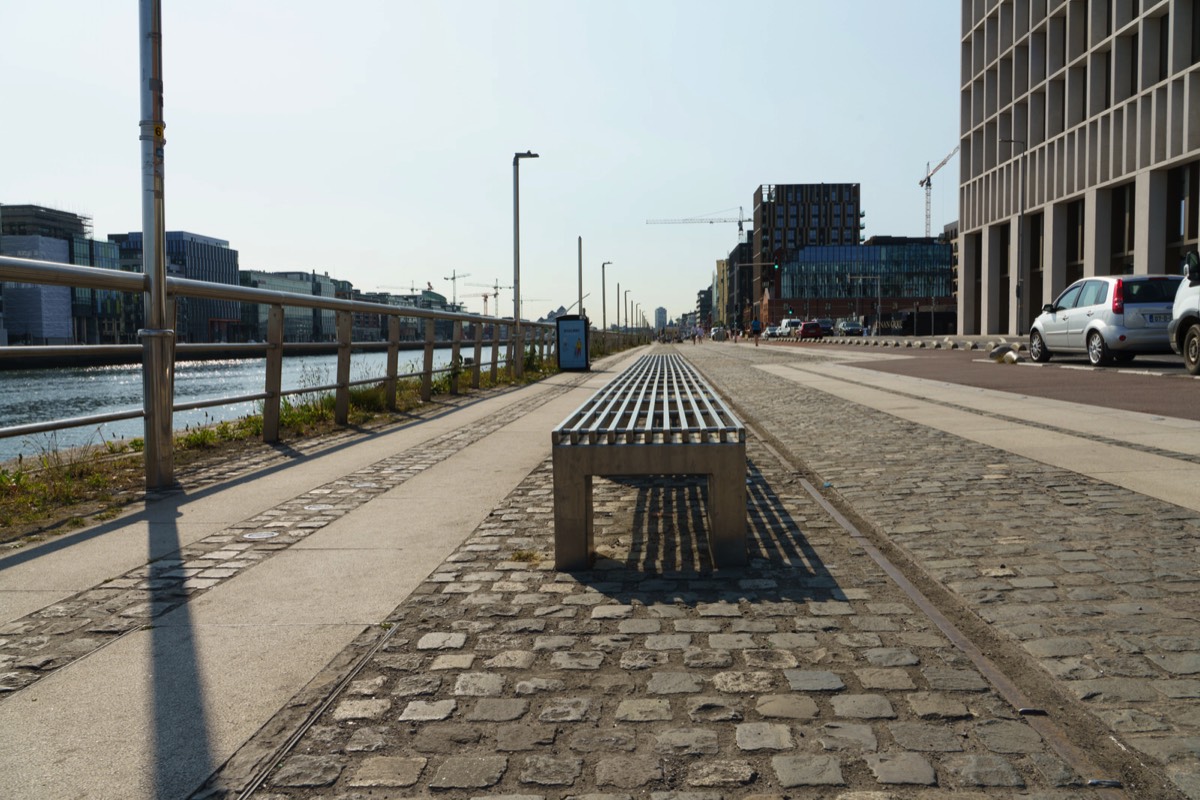
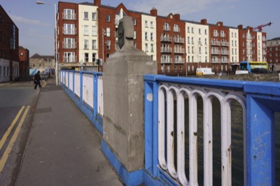
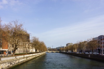
NORTH WALL QUAYMARCH 2021
Back in 1968 I was a stevedore and a union rep and had to operate in this area and in order to do so I had to have a bodyguard. In reality the union rather than my employer, the B&I Shipping Company, controlled my day to day activities.
When I visit the area today I often meet people who remember the good old days but soon realise that they have constructed a false history. However, if I engaged with them and explain my background they usually admit that they have no desire to return to the past as their children now have a superior lifestyle. While many many may have been in dire poverty some earned huge money, if they had skills or connections.
The area is much better now than it was black then but by the same token I have no problem with certain people believing that things were better in the 60s and 70s because they did not receive what they were promised when Dublin's IFSC, which was set up by the Irish Government with EU approval, was established in 1987. At the time my father said that while an army cannot move the people native to an area there is no doubt that the builders and their bulldozers can.
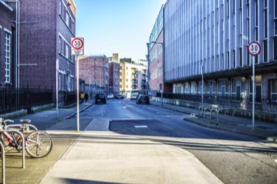
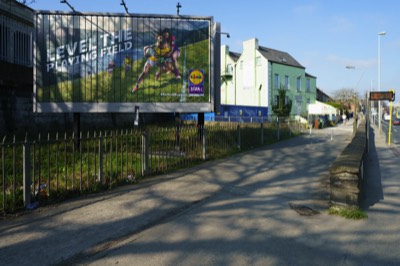
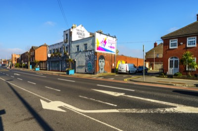
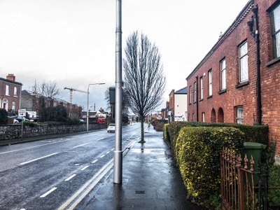
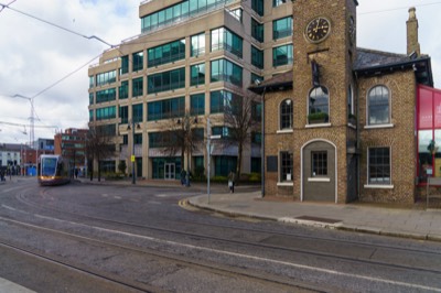
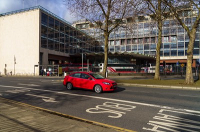
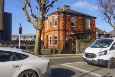
North Wall is an area east of the inner north side of Dublin, along the River Liffey. It contains the entire north side of Dublin Docklands and includes the International Financial Services Centre, Spencer Dock, and further east the main part of Dublin Port.
The area is dominated by a combination of older housing, dockland activities and new development through the Docklands Strategic Development Zone Planning Scheme, including extensive construction of new retail, residential and office spaces.
Transport in the area includes the Dublin Area Rapid Transit (Docklands railway station on Sheriff Street), the LUAS (red line stations George's Dock, Mayor Square, Spencer Dock, and The Point, and 8 dublinbikes stations (at Custom House Quay, City Quay, Excise Walk, Lime Street, Guild Street, Convention Centre, New Central Bank, and The Point).
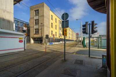
MAYOR STREET LOWERAND MAYOR SQUARE
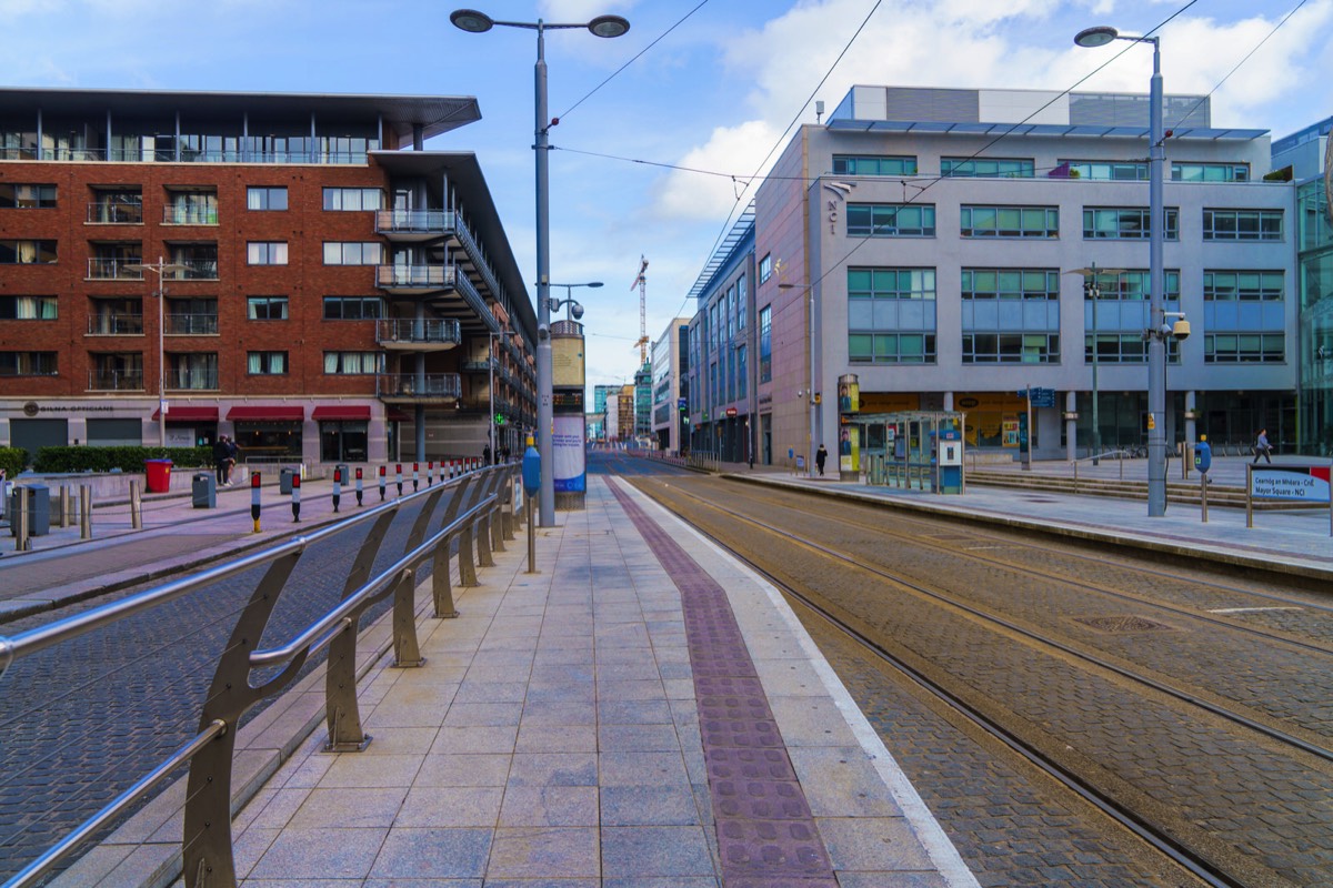
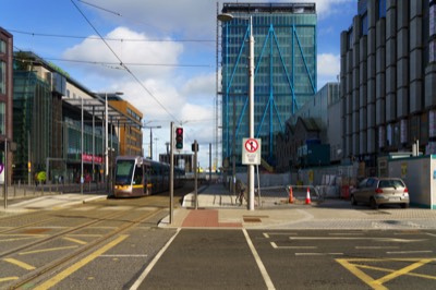
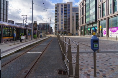
Mayor Square is in the Docklands area. The National College of Ireland is based there.
Since December 2009 it has been served by the Luas Red Line tram which runs from Tallaght or Saggart to Connolly and the Docklands branch line from Busáras to The Point (3Arena). Dublin Bus serves nearby North Wall Quay with the 33d, 33x, 53a, 90, 142 and 151 bus services, as well as Guild Street with the 757 Airlink service to Dublin Airport.
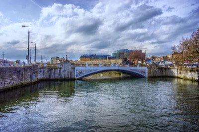
LUAS TRAM BRIDGEUPPER MAYOR STREET
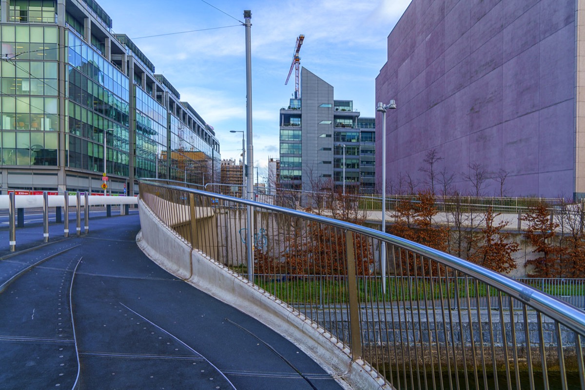
The LUAS tram bridge is almost as wide as it is long and it crosses the Royal Canal at Spencer Dock, in the Dublin Docklands. The bridge, designed by London-based architects Future Systems and Arup Engineers, has become the central feature the new linear park along the canal.
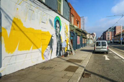
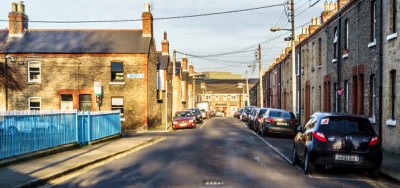
FOLLOW THE TRAM TRACKS IS THERE OVER-DEVELOPMENT ALONG UPPER MAYOR STREET
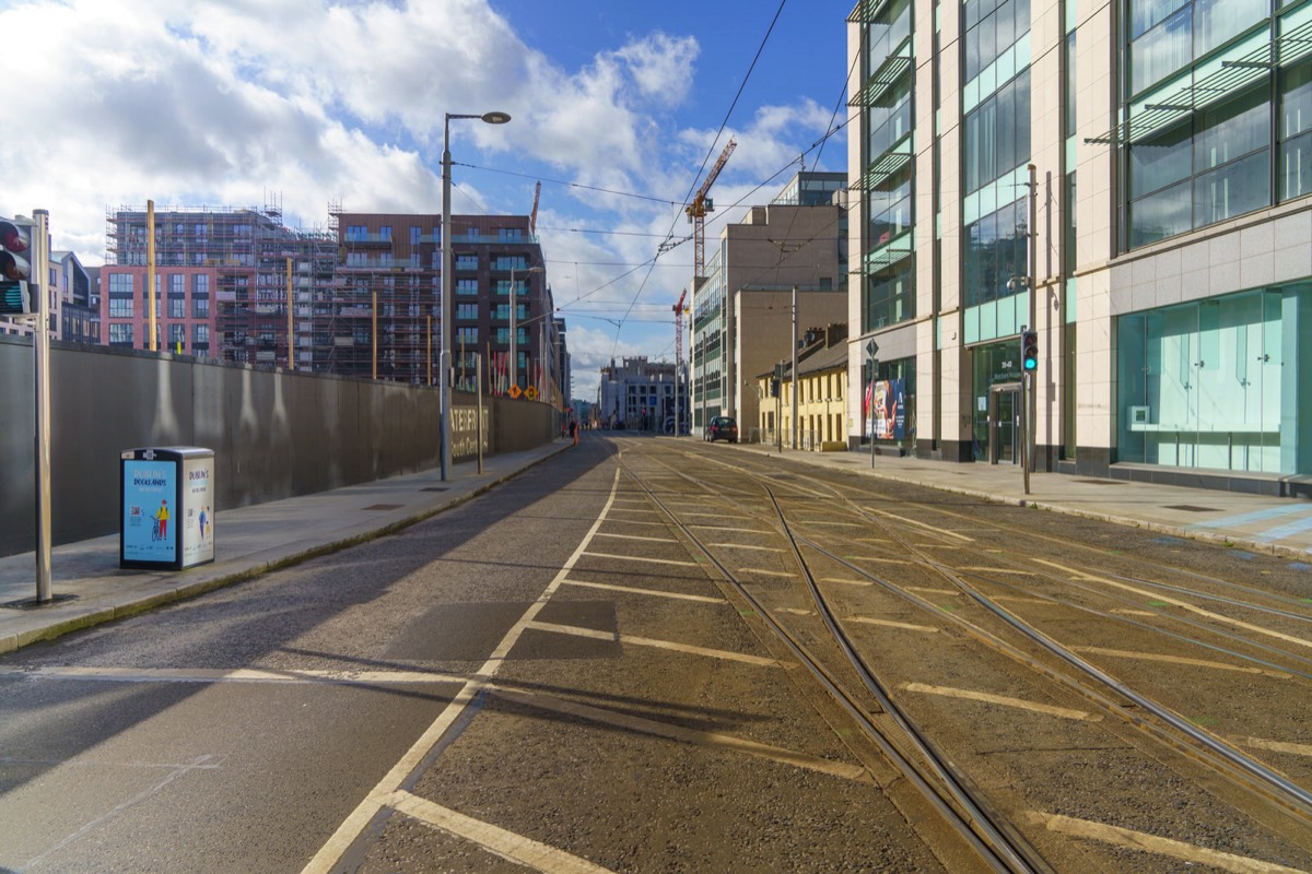
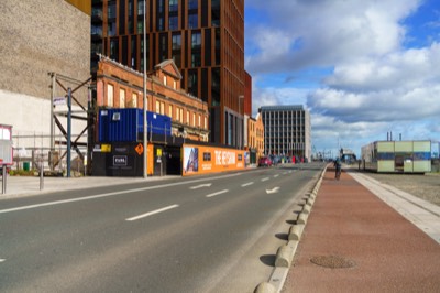
I read that the residents of Upper Mayor Street were complaining that they effectively lived on a building site for close to twenty five years and that the end result is that they are now deprived of sunlight because of the hight of the recently completed buildings.
When I walked the section of the street from the canal to the Point Village, on a really sunny day, I was more than surprised by how dark and gloomy it was especially when I passed by a short terrace of small two-up-two-down houses. In some photographs you will notice some sunlight that manages to shine through but it is isolated and limited to minutes rather than hours
I also passed a sign indicating that I was at Coopers Cross a location that I had been aware of. I later discovered that Coopers Cross comprises an entire city block (fronting Mayor Street Upper, Castleforbes Road, Sheriff Street Upper and New Wapping Street) and at 5.9 acres represents one of the largest undeveloped sites in Dublin’s CBD. It forms part of the Docklands SDZ (Strategic Development Zone), which facilitates the regeneration of the Docklands and already has planning permission for 449 PRS (private rented sector) units.
-
MARCH 2021
-
CHANCERY STREET
-
M HUGHES PUB
-
GREAT WESTERN SQ.
-
DERELICT BUILDING
-
PHIBSBOROUGH HOUSE
-
CHANCERY HOUSE
-
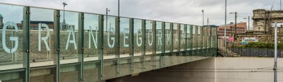
LOWER GRANGEGORMAN
-
PATRICK'S FESTIVAL
-
CHANCERY STREET
-
GEORGE'S LANE
-
McGOWANS PUB
-
BACK PAGE PUB
-
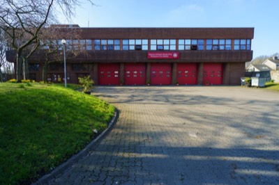
FIRE BRIGADE
-
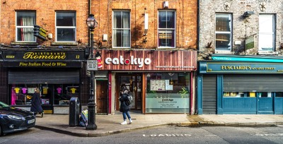
EATOKYO
-

COMPLEX JUNCTION
-
GROCER
-
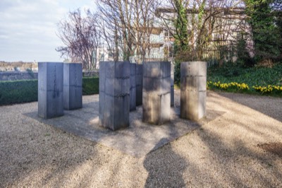
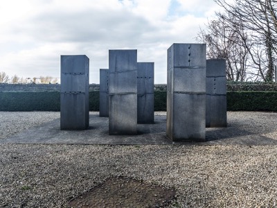
LIMESTONES RX0
-
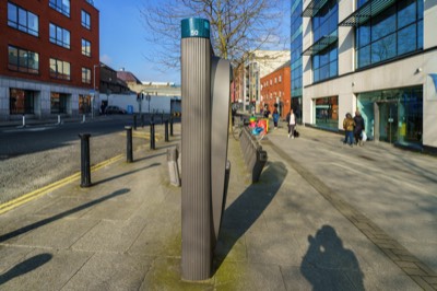
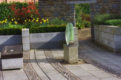
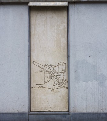
![BY TONY CRAGG [RX0]](
files/generatedThumb-90.jpg
)
BY TONY CRAGG [RX0]
-
MUSEUM {RX0}
-
iPHONE 12 PRO MAX
-
COR TEN STEEL
-
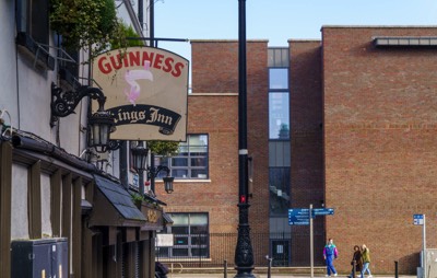
KINGS INN
-
DOMINICK STREET
-
RICHMOND HOSPITAL
-
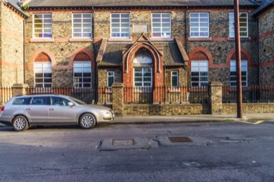
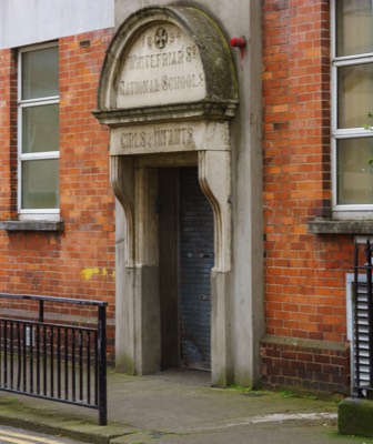
NATIONAL SCHOOL
-
AUGHRIM STREET
-
GRANGEGORMAN LOWER
-
OLD KIOSK
-
BILLY'S BED
-
HAROLDS'S CROSS
-
VIKING STREETS
-
BICYCLE SONG
-
DUBLIN PORT
-
HARBOUR MASTER
-
THE HEYSHAM
-
EXO BUILDING
-
STUDENT ACCOMMODATION
-
BUSARAS
-
DUBLIN CANVAS
-
LUAS TRAM STOP
-
BLESSINGTON BASIN
-
DORSET STREET
-
DUBLIN CASTLE
-
CONSTITUTION HILL
-
AUBURN STREET
-
WESTERN WAY
-
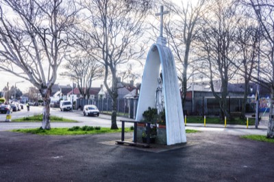
MARIAN STATUE
-
ANNEMOE ROAD
-
MATTS IN CABRA
-
HANLON'S CORNER
-
MURALS
-
LARGE MURAL
-
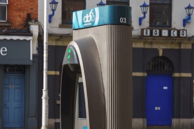
STATION 03
-
SCHOOL
-
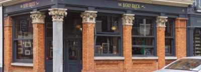
LUCKY DUCK
-
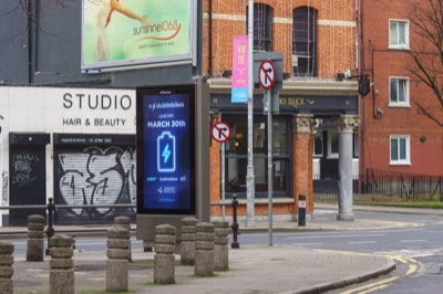
E-DUBLINBIKES
-
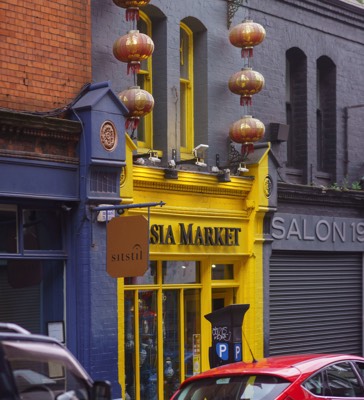
ASIA MZARKET
-
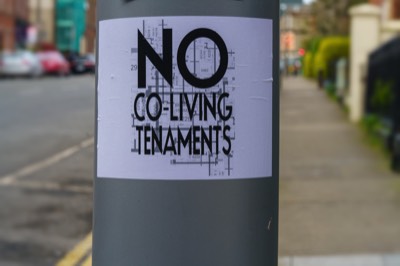
NO CO-LIVING
-
INNER CITY
-
BROADSTONE GATE
-
BARBER SHOP
-
HENRIETTA STREET
-
HENRIETTA PLACE
-
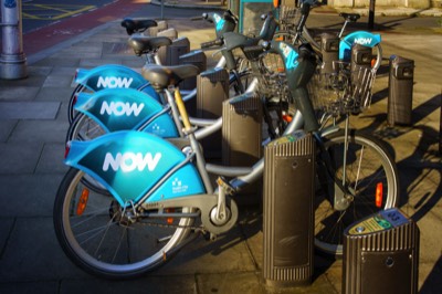
NOW
-
YEAST COMPANY
-
18 ORMOND QUAY
-
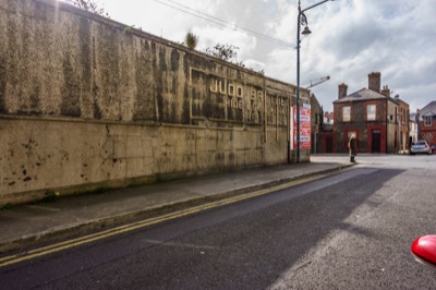
JUDD BROTHERS
-
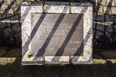
CROPPIES ACRE
-
JOYCE BRIDGE
-
PLAQUE
-
HEUSTON BRIDGE
-
ILLEGAL DUMPING
-
31 MARCH 2021
-
FOUR COURTS
-
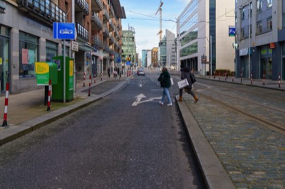
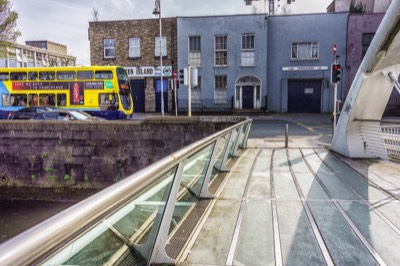
LR MAYOR STREET


![BY TONY CRAGG [RX0]](files/imgFull-90.jpg)


COPYRIGHT INFORMATION BELOW APPLIES ONLY TO PHOTOGRAPHS

This work by William Murphy aka Infomatique is licensed under a Creative Commons Attribution-NonCommercial-ShareAlike 4.0 International License.
Permissions beyond the scope of this license may be available at https://excellentstreetimages.com/in-the-year-twentytwenty/copyright/.