TICKNICK PARK - NOT TICKNOCK
TICKNICK PARK - NOT TICKNOCK [MY FIRST VISIT]
Note: Ticknock or Tiknock is a townland southwest of Sandyford in Dublin at the northeastern foothills of the Dublin Mountains
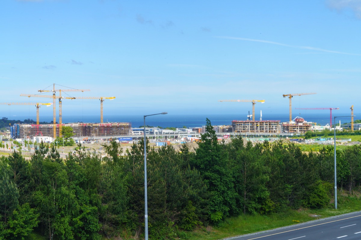
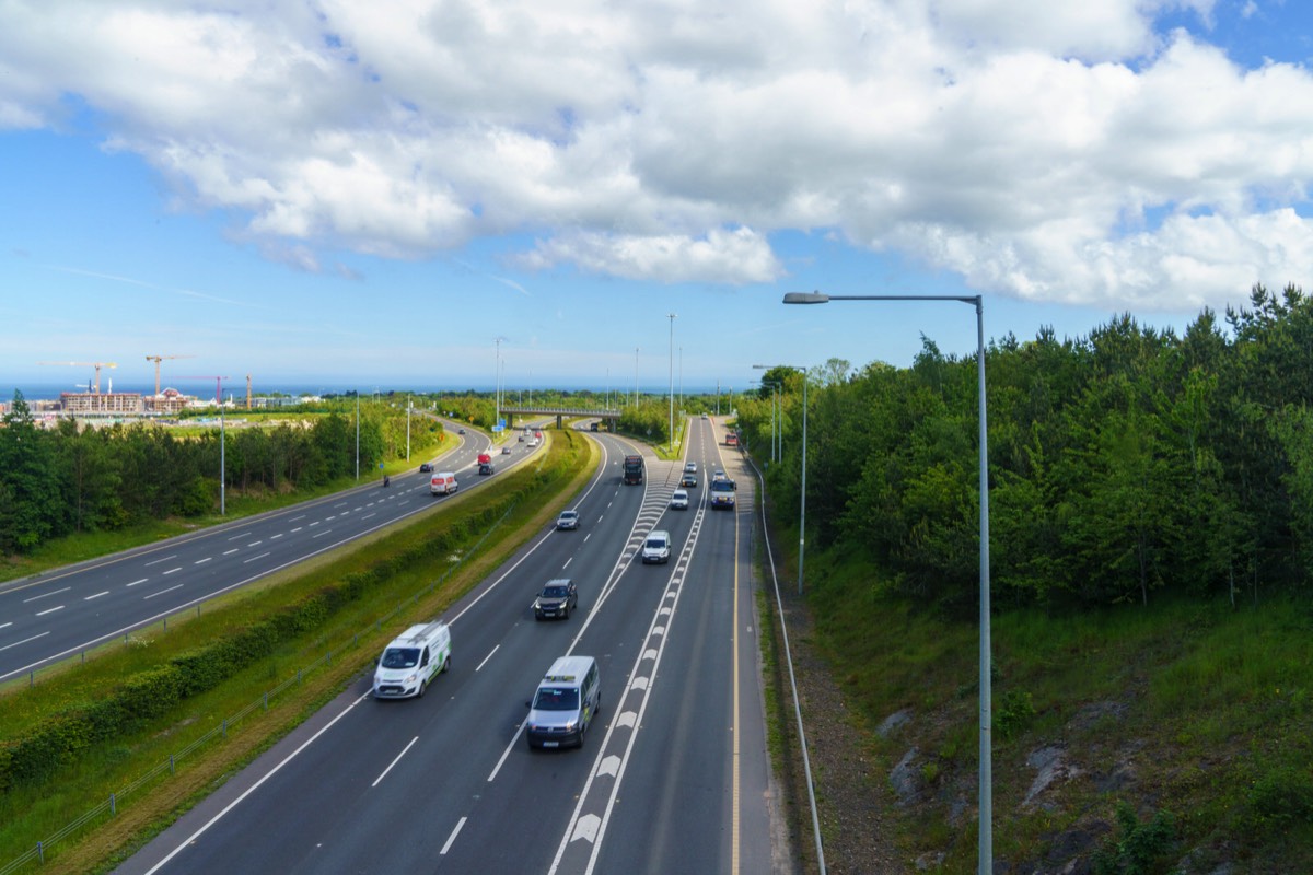
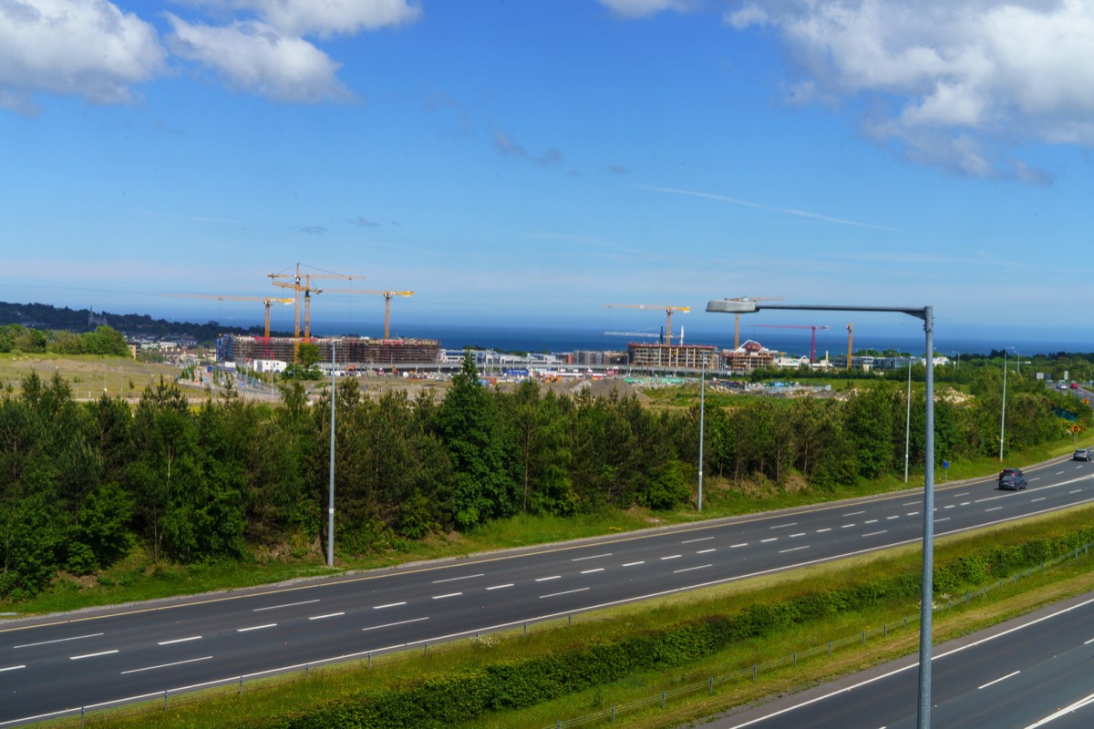
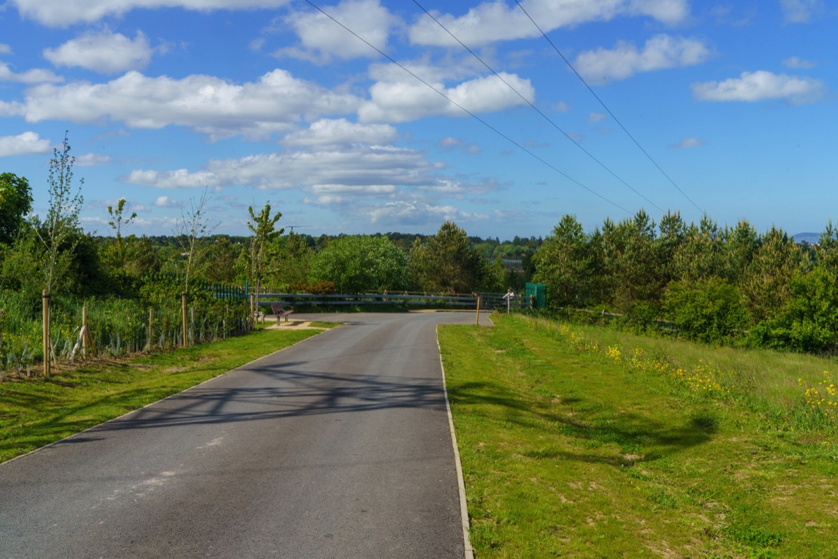
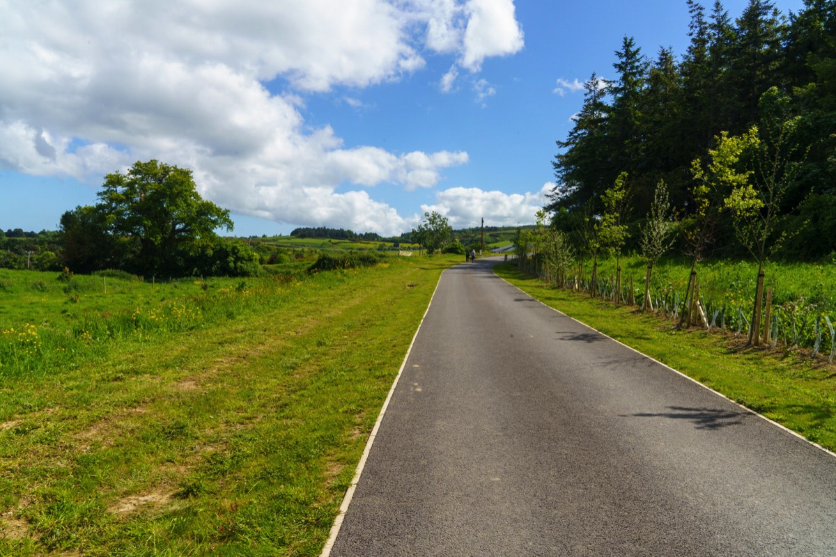
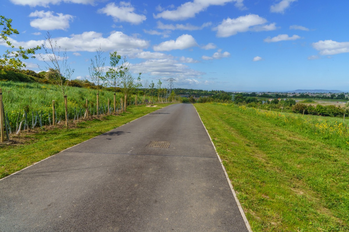
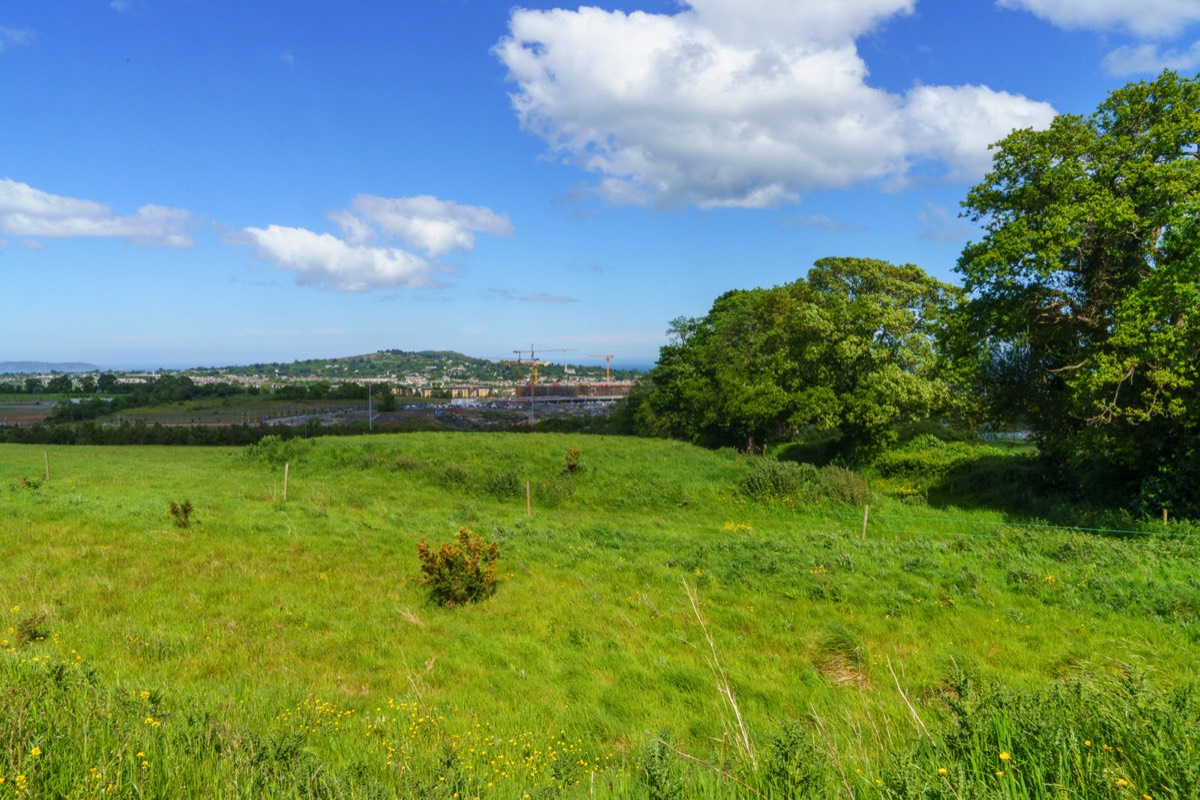
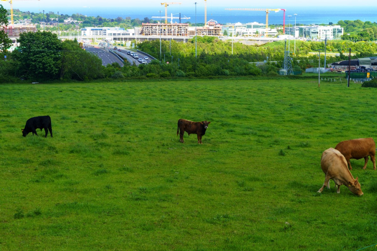
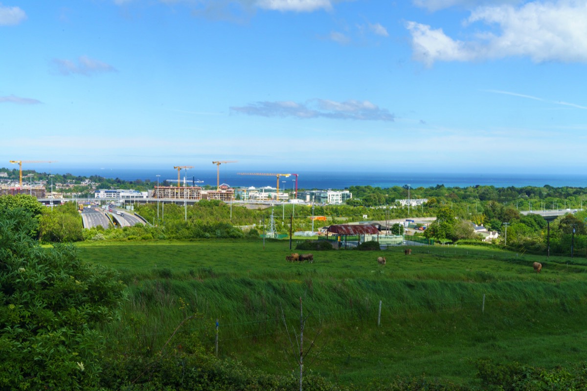
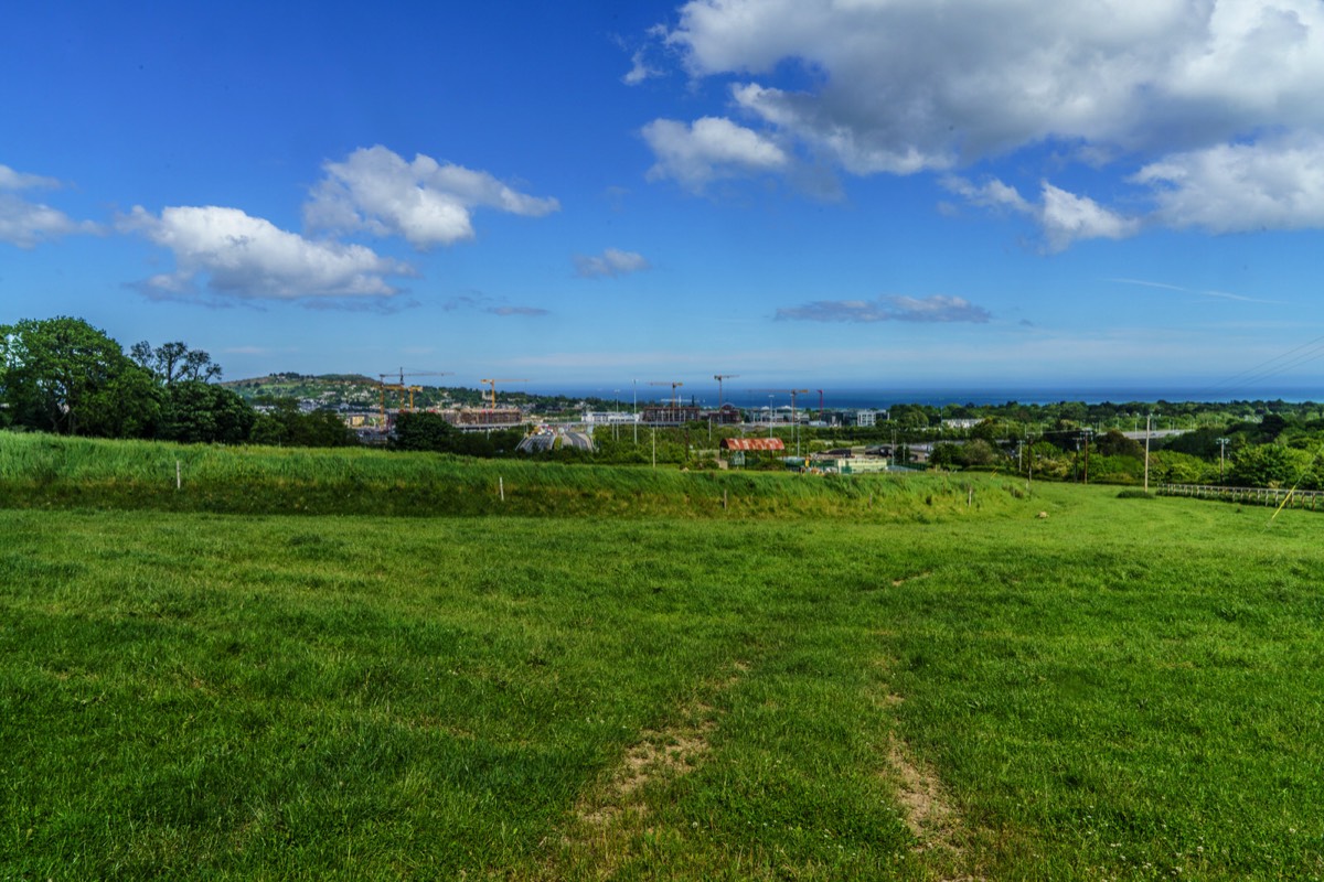
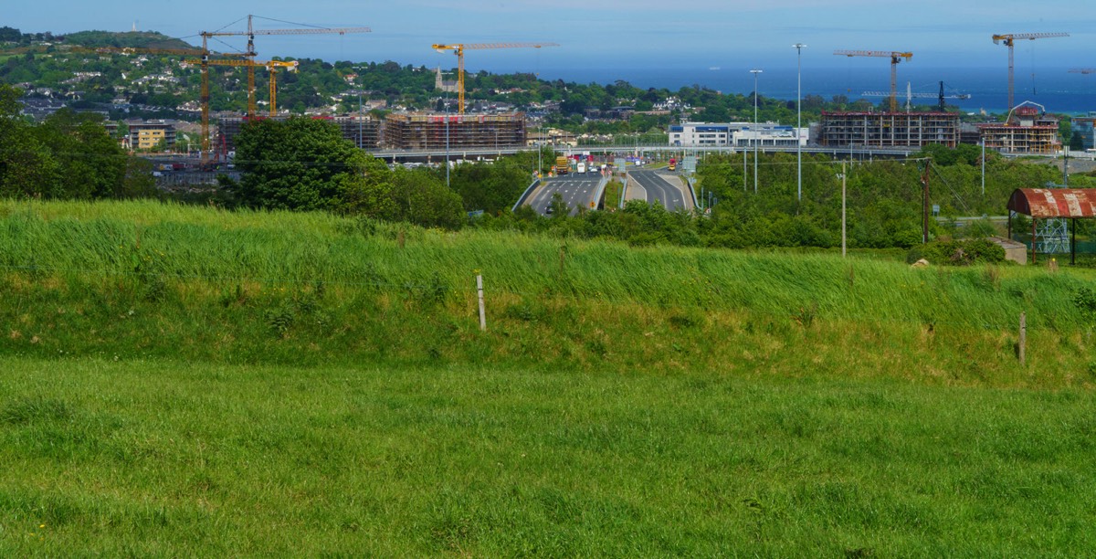
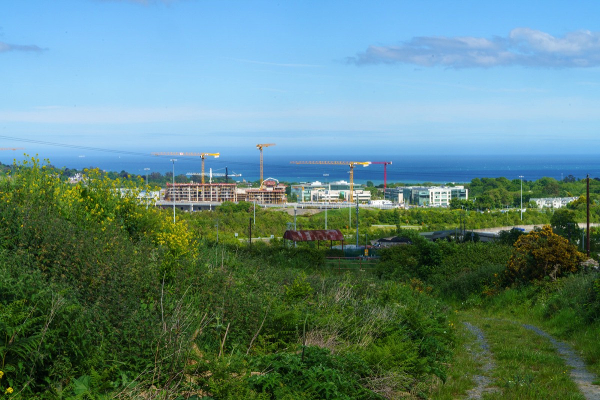
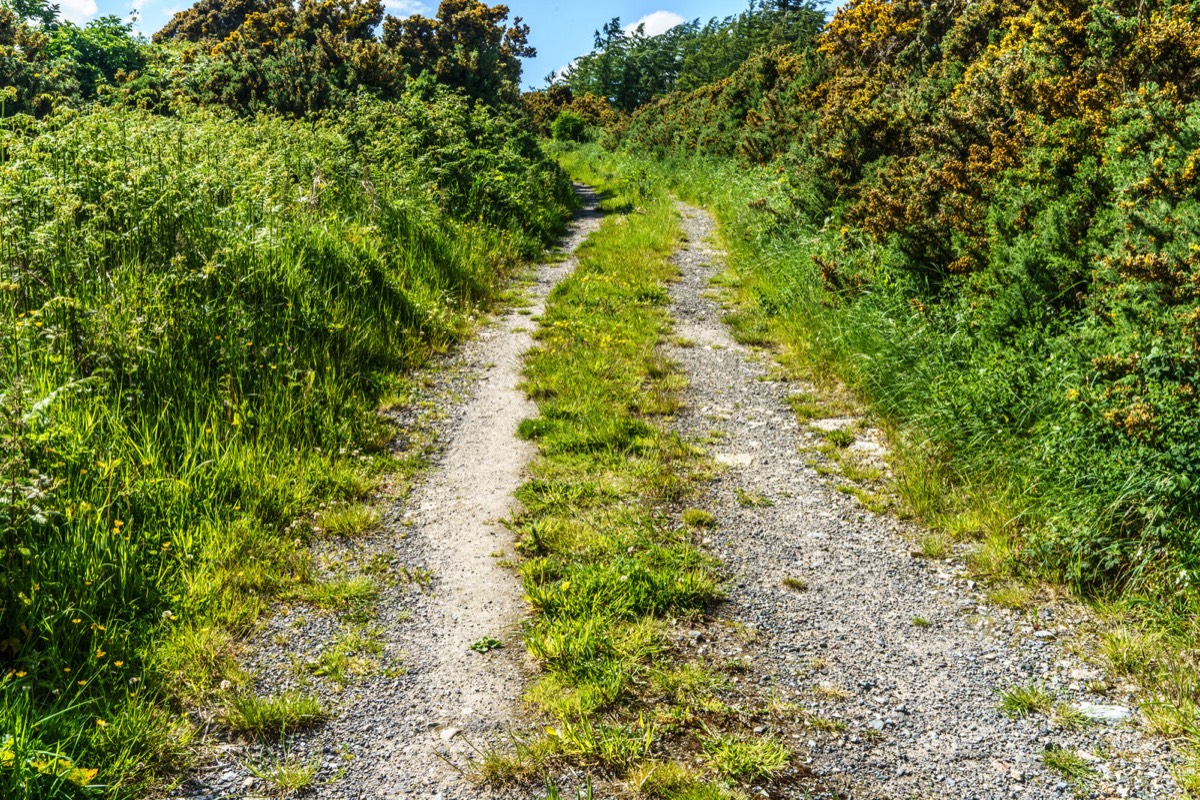
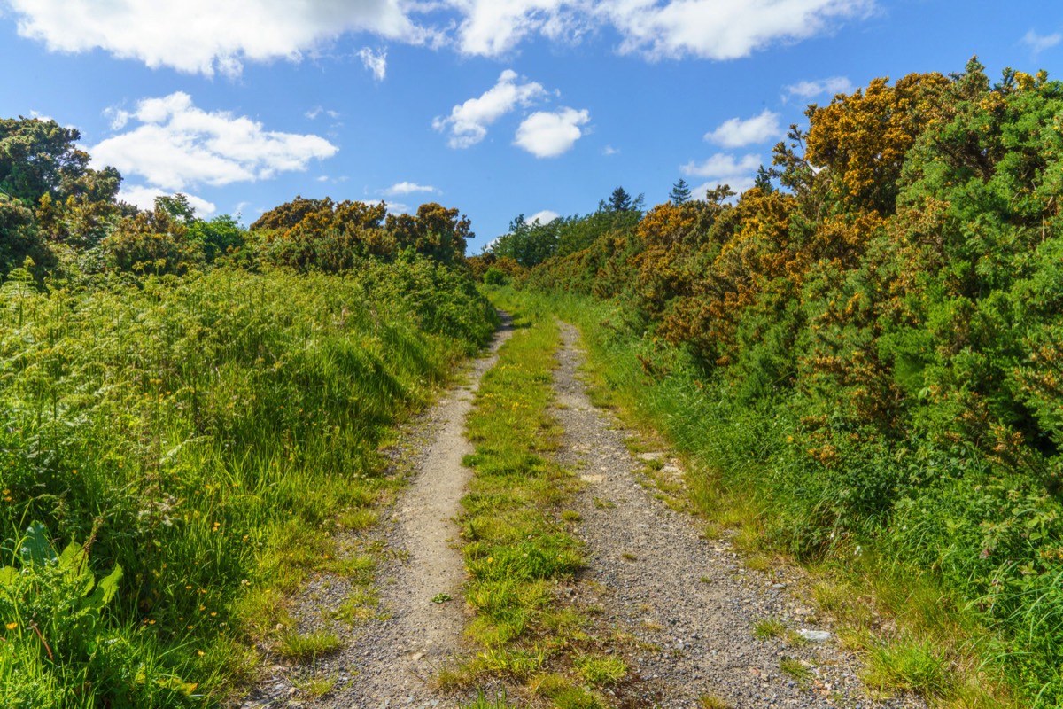
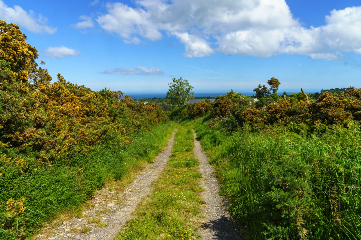
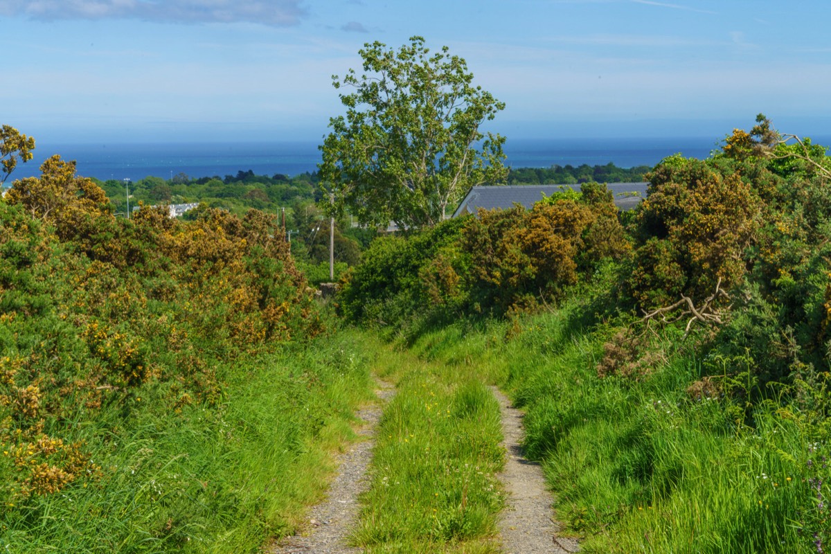
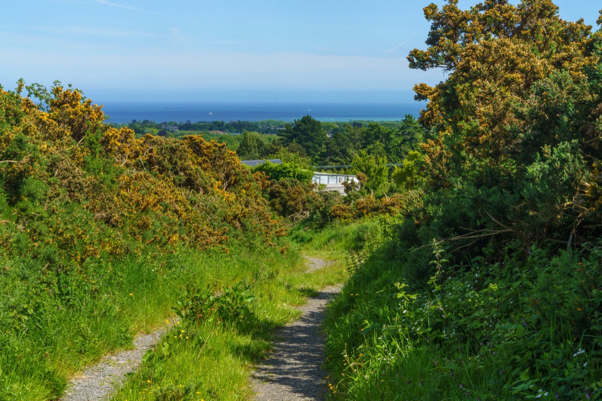
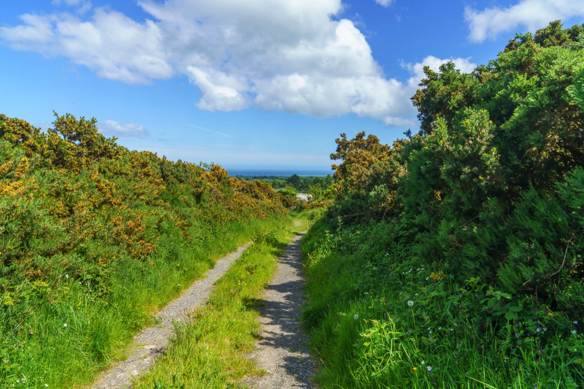
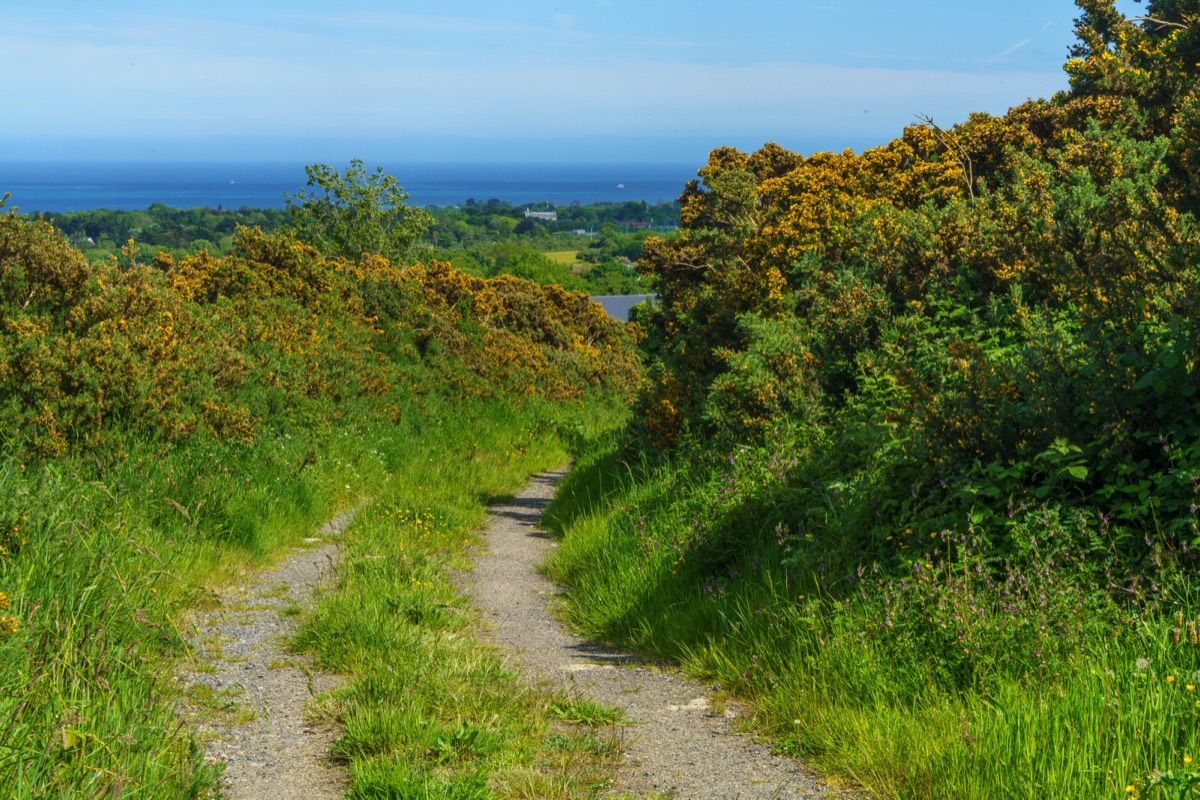
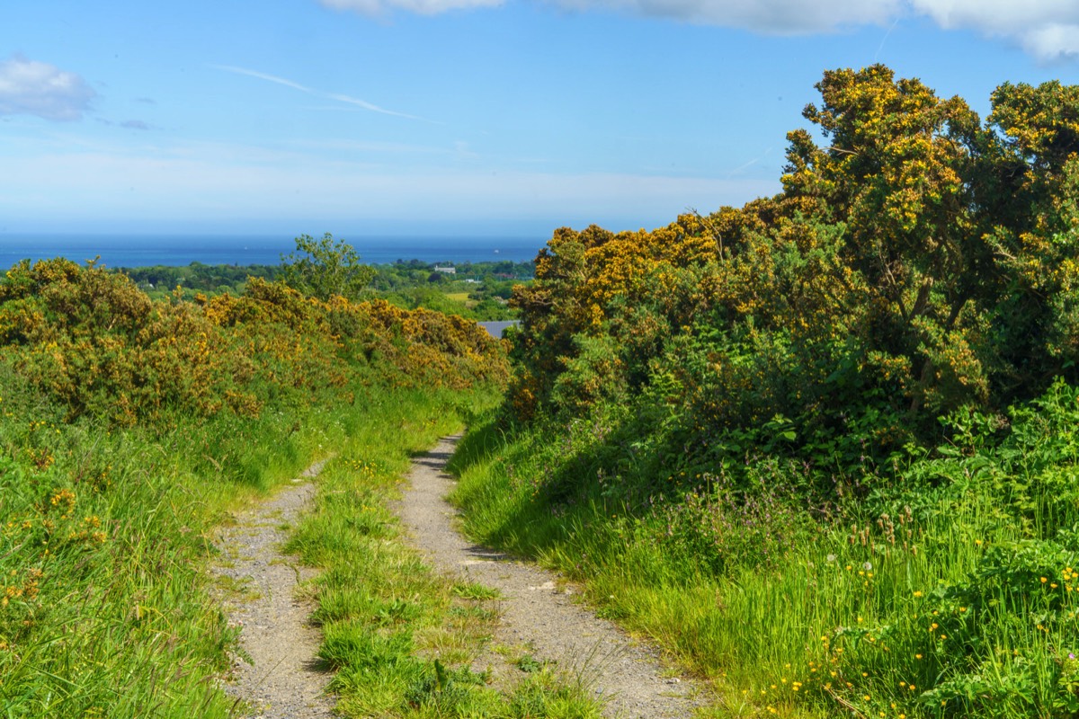
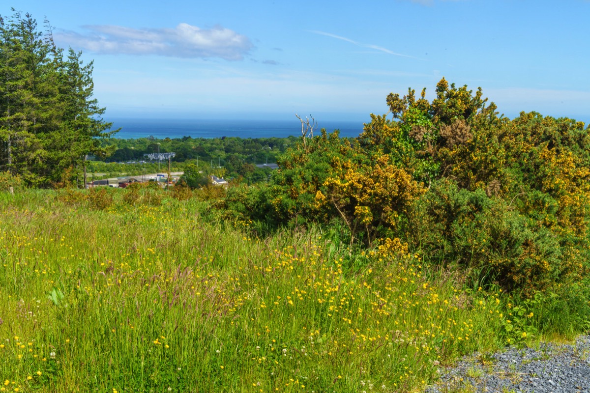
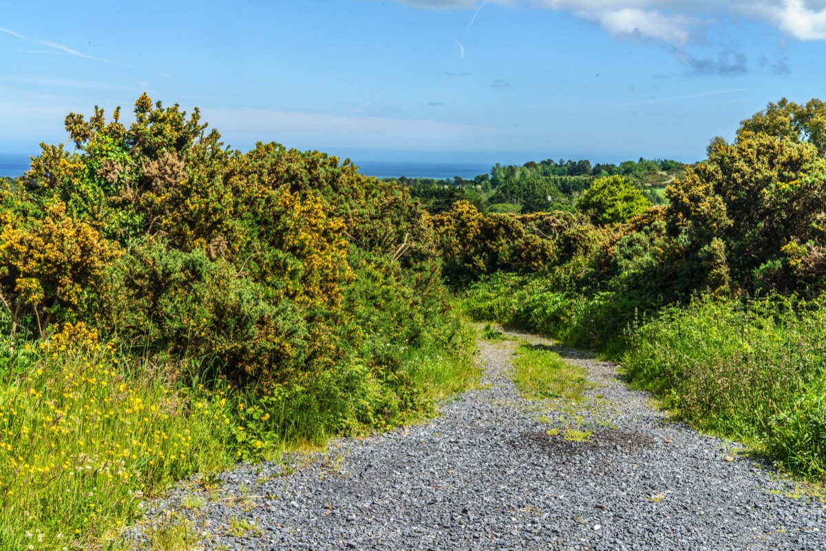
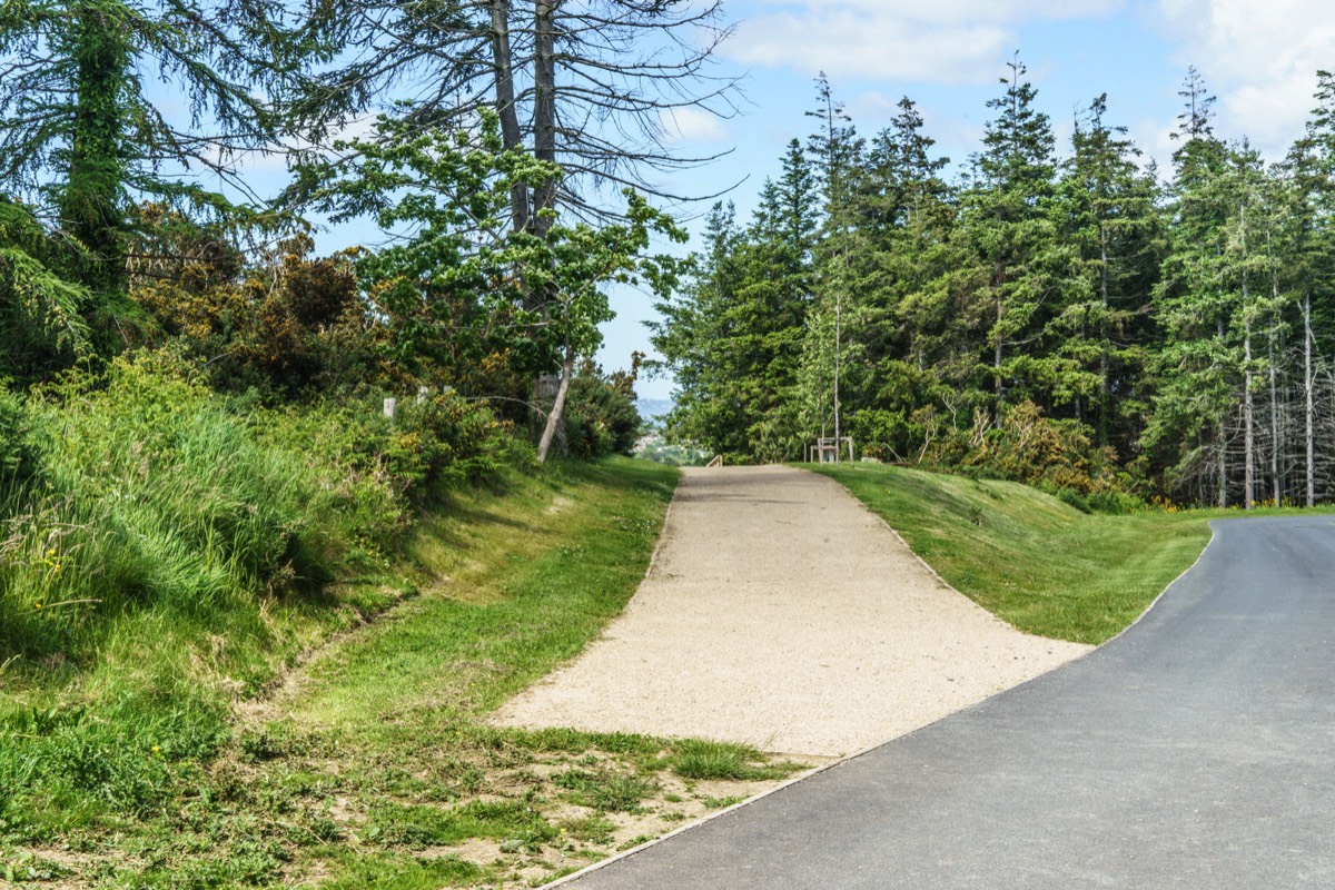
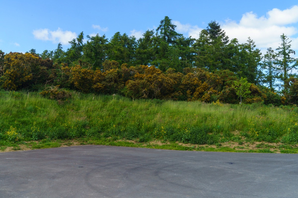
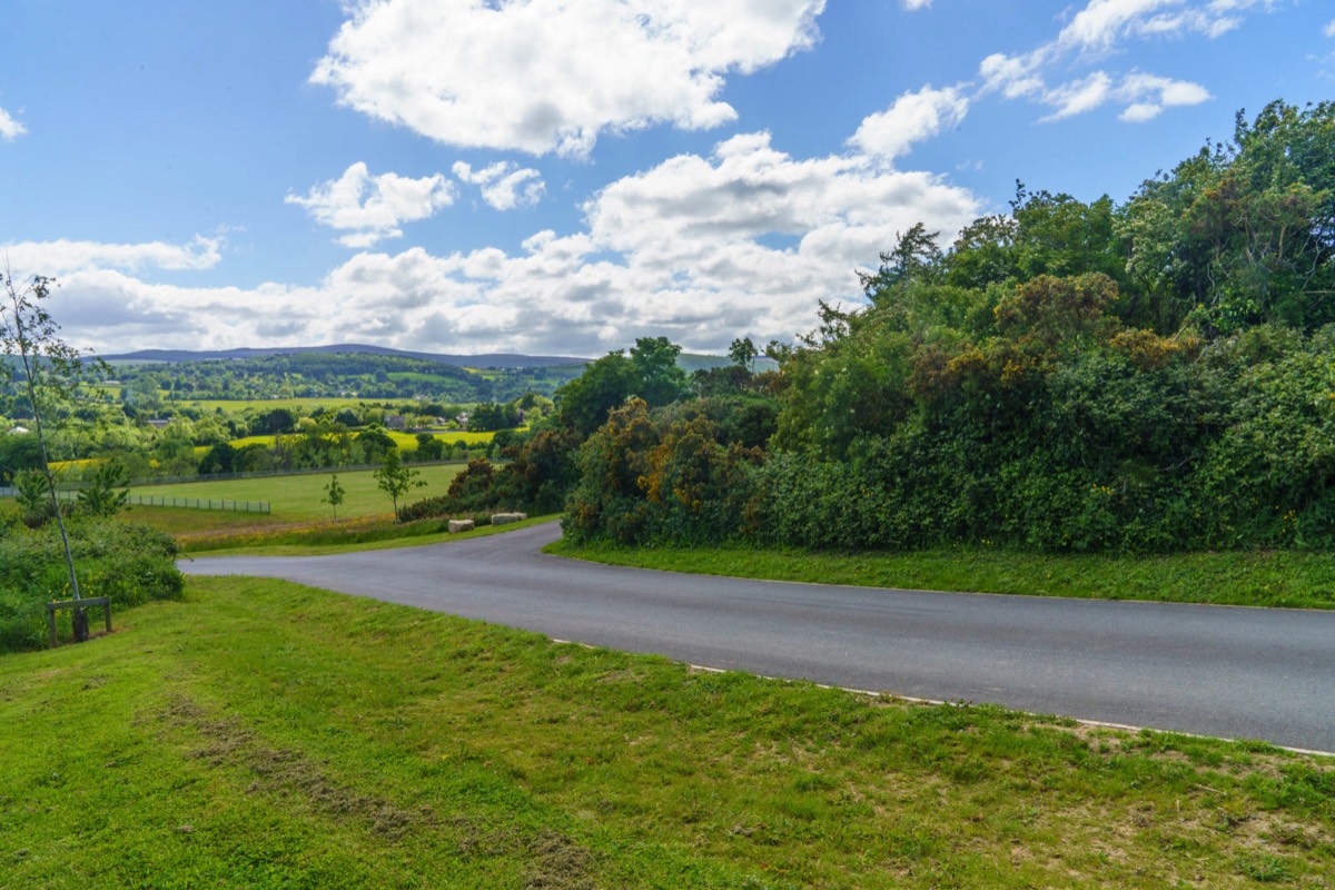
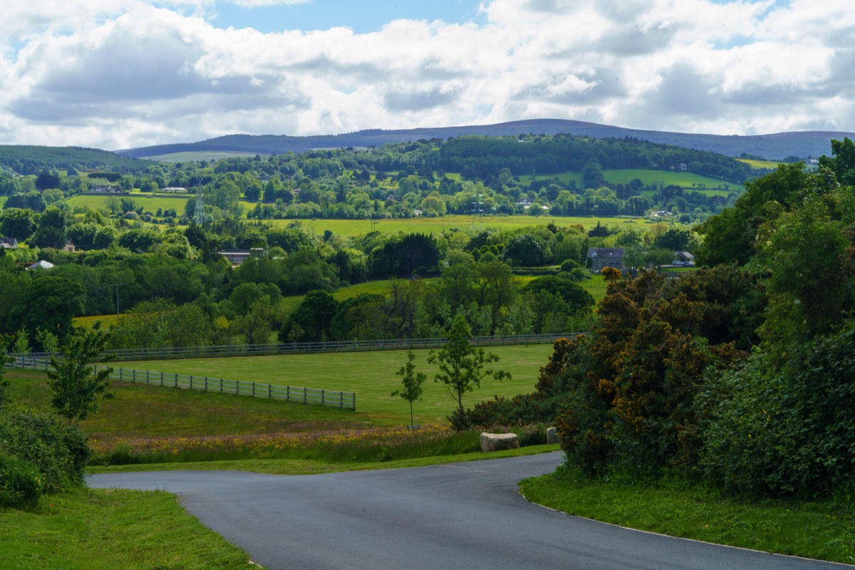
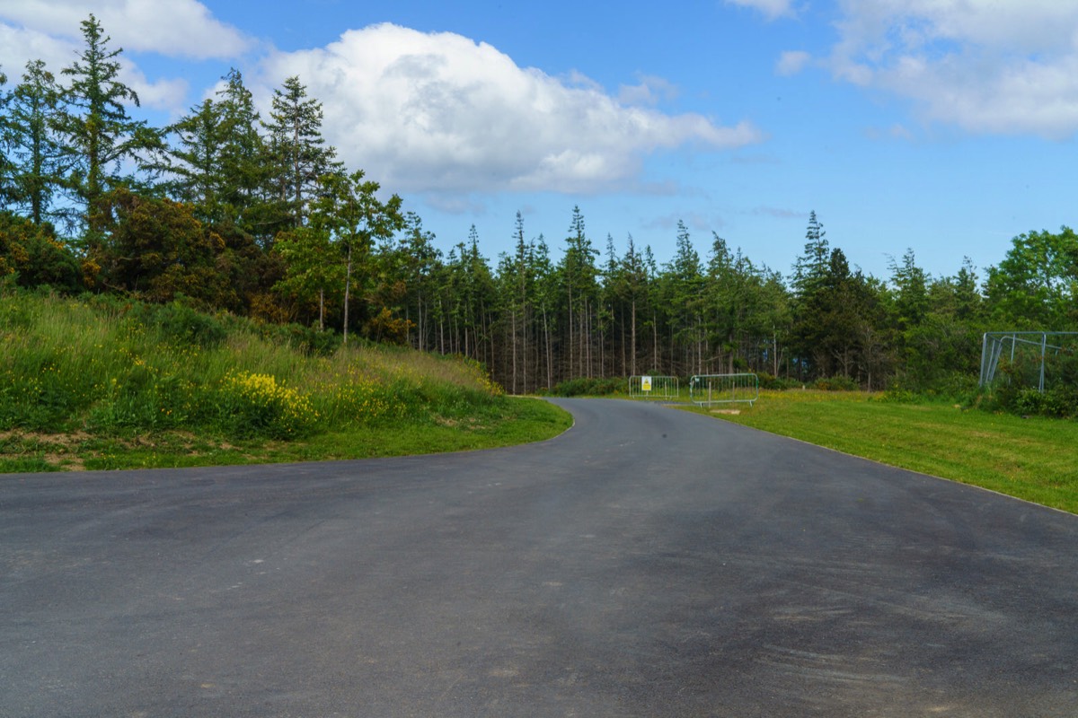
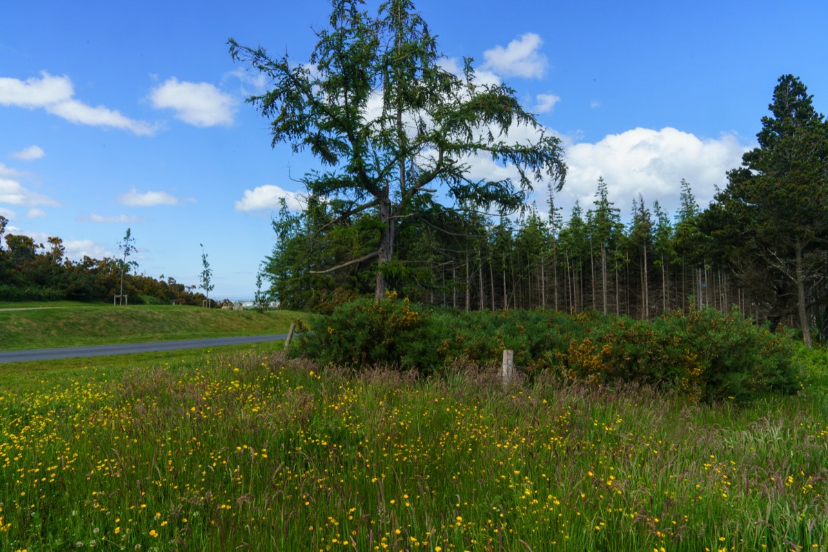
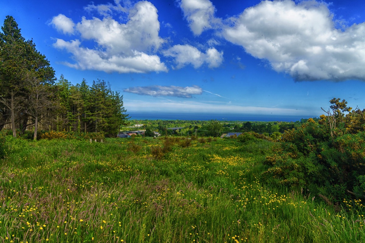
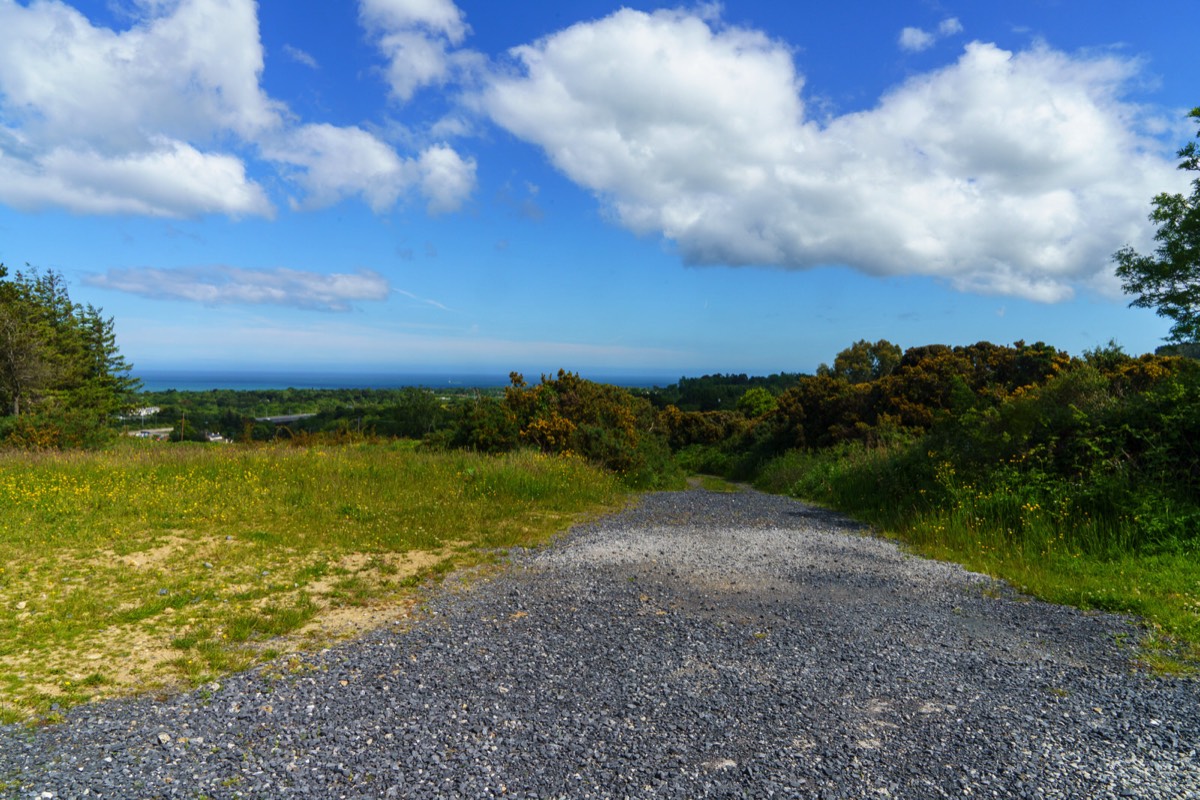
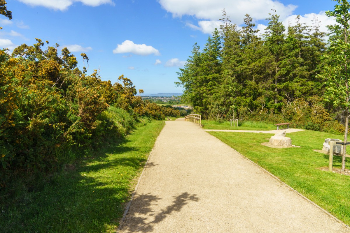
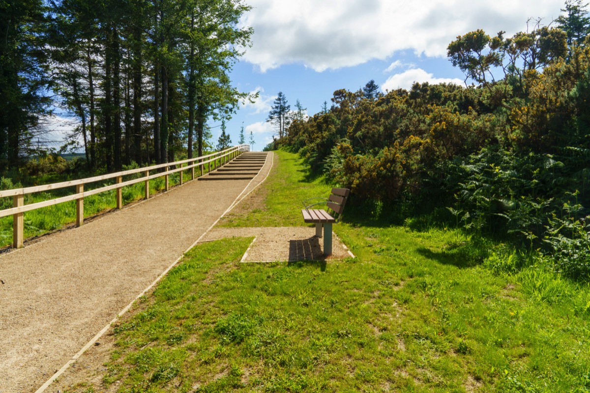
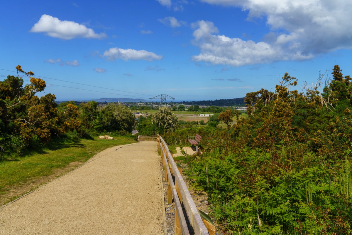
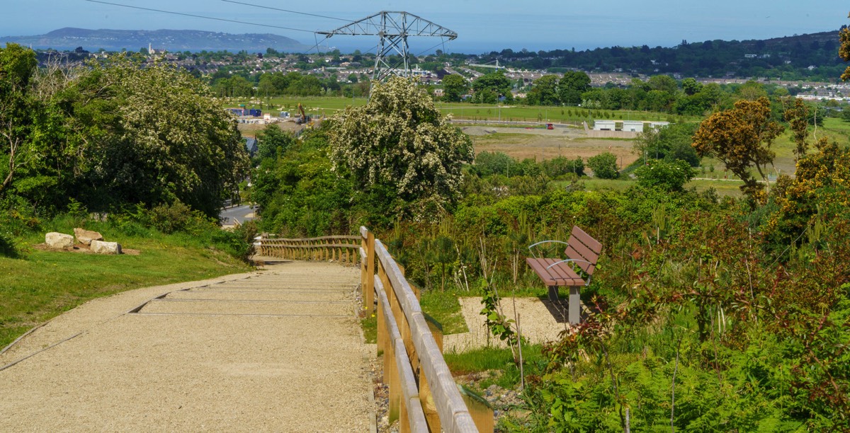
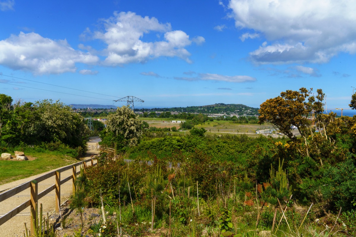
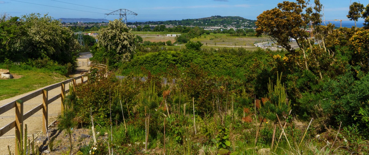
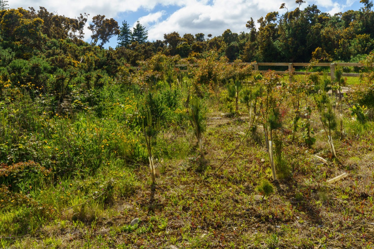
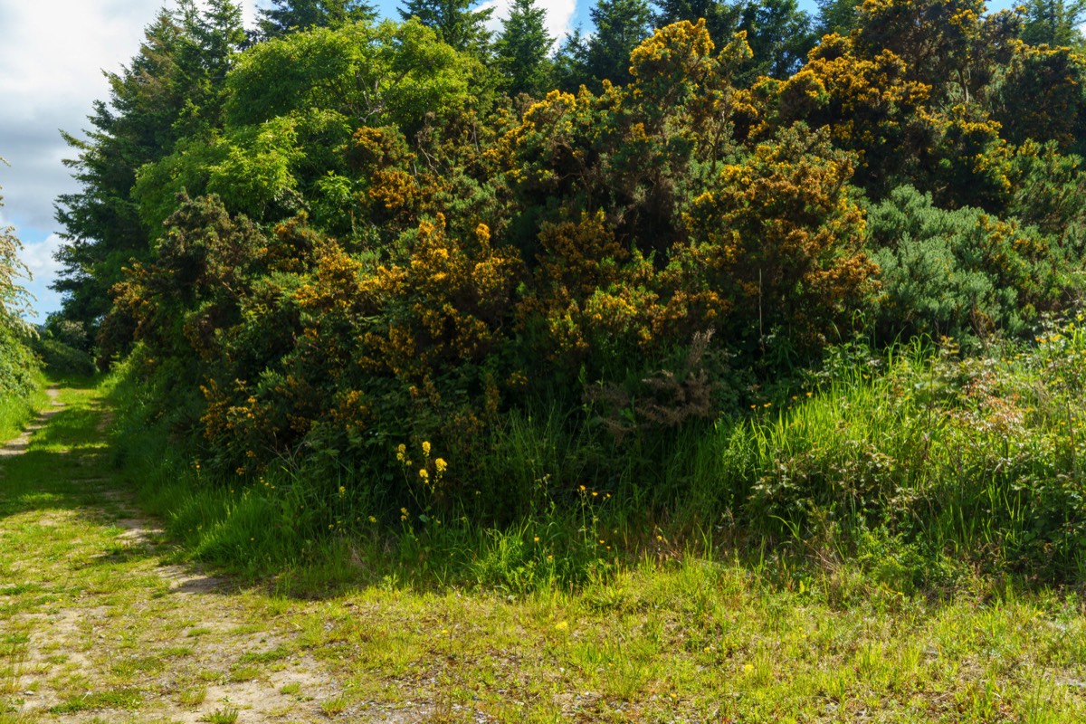
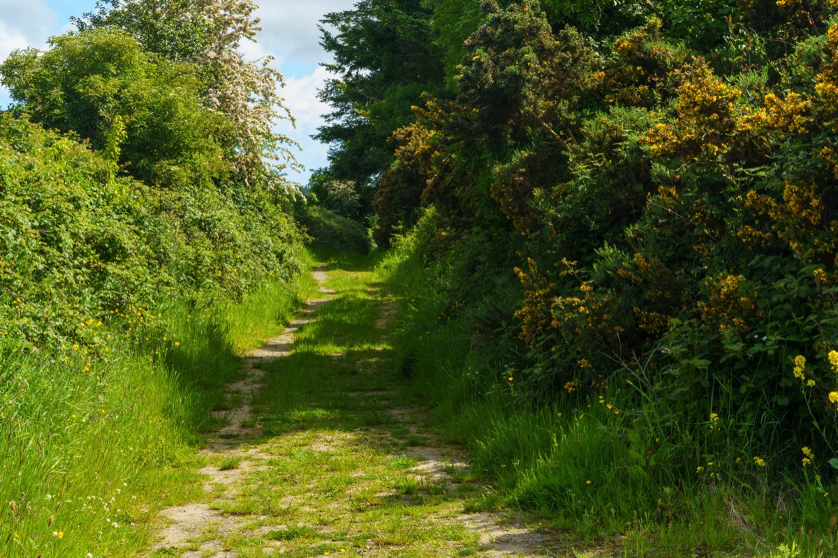
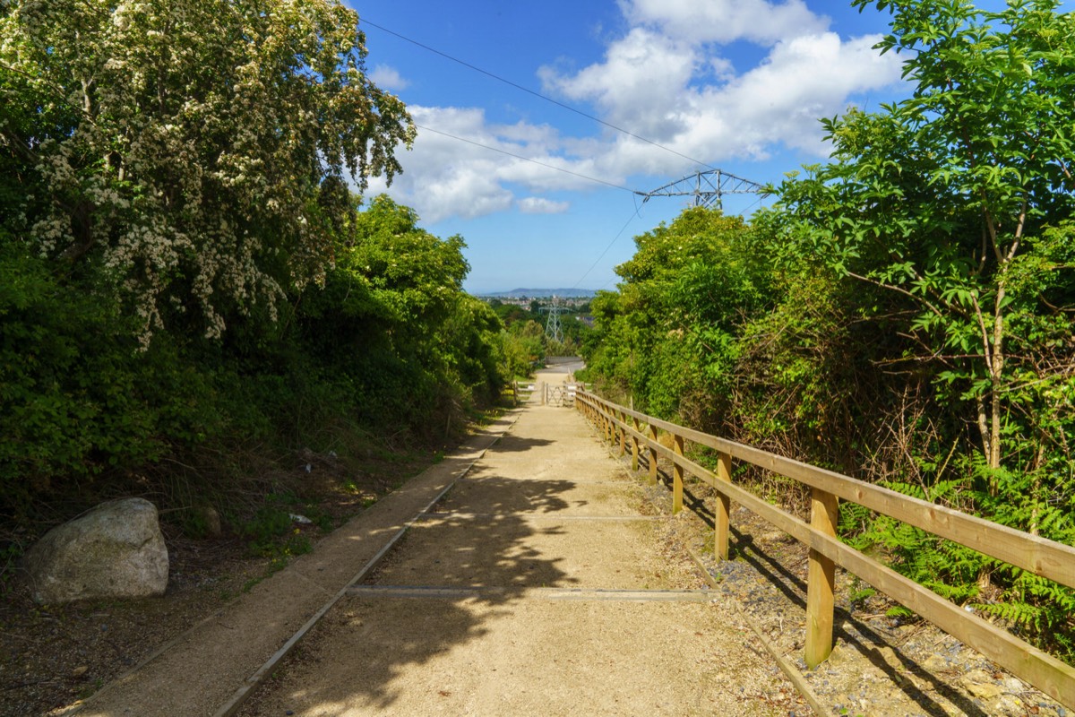
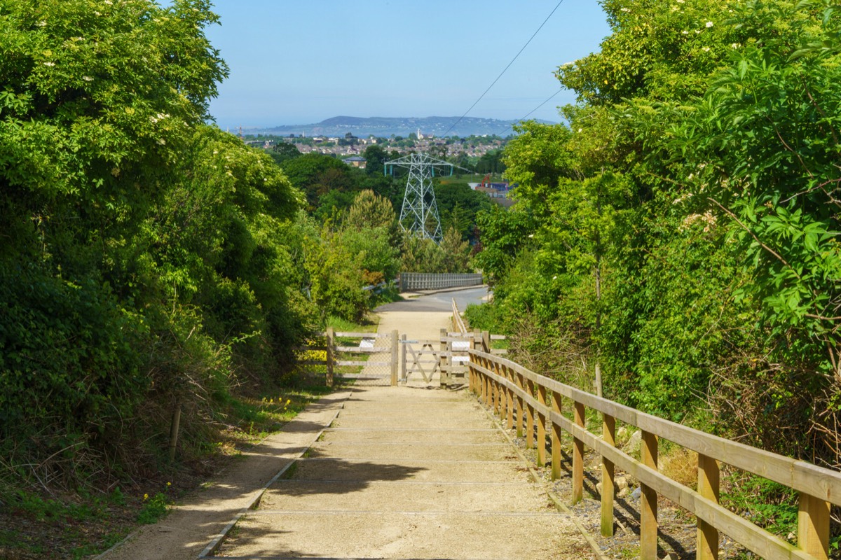
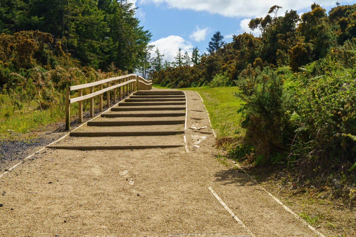
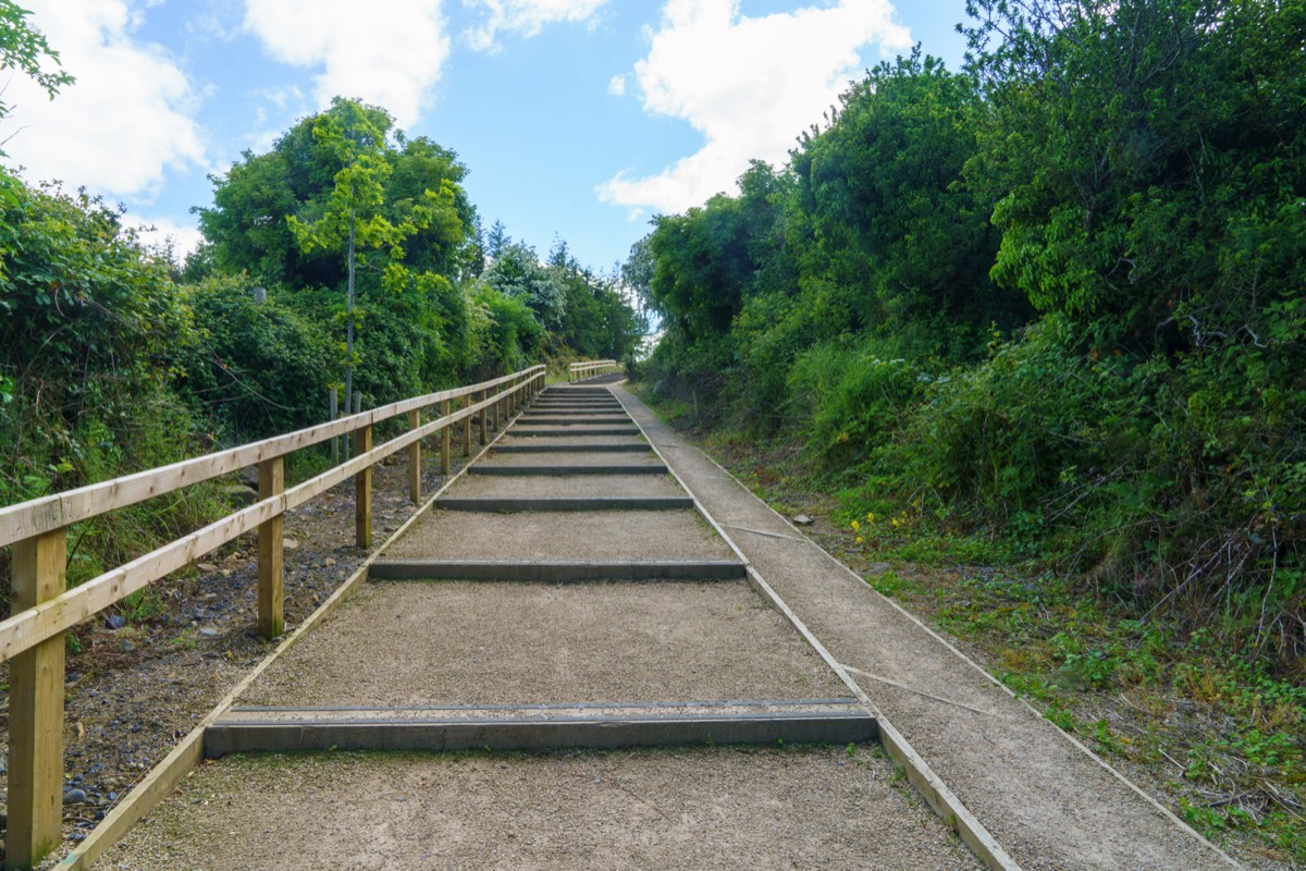
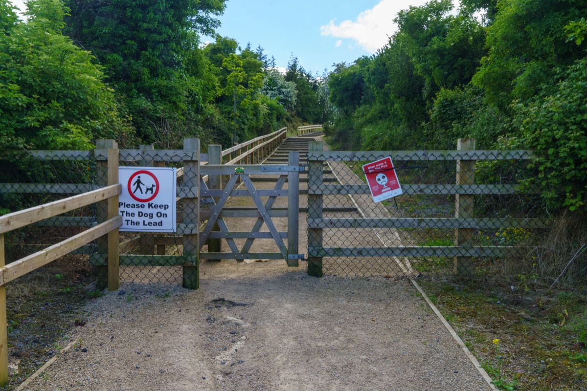
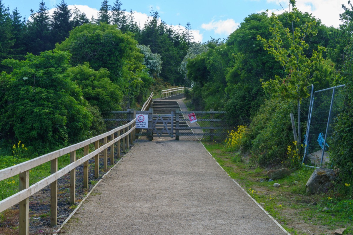
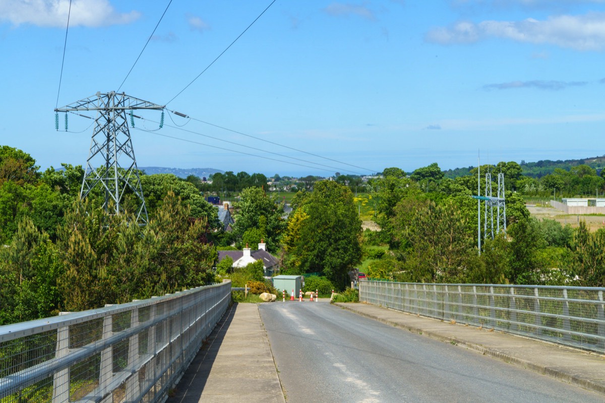
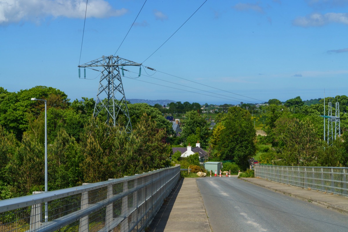
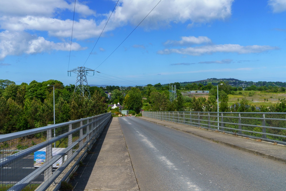
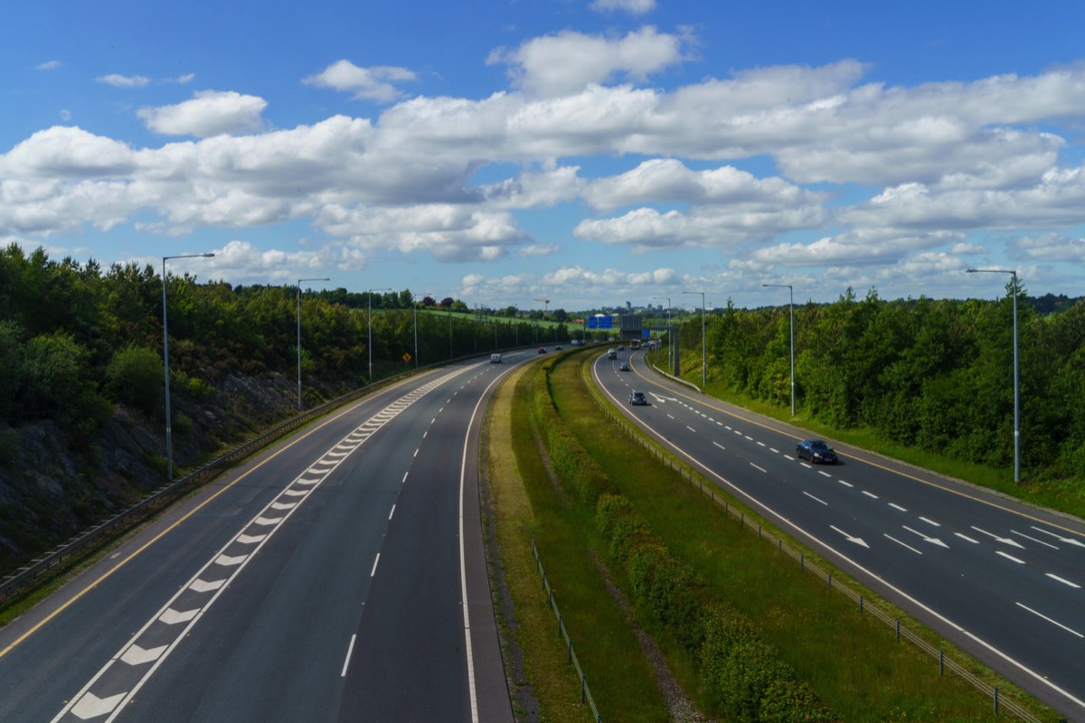
Today was beautiful so I decided get a LUAS tram as far as the Laughanstown tram stop and then walk along Lehaunstown Lane [spelling is a bit confusing] towards the Church at Tully. Unfortunately access to the ruined church and graveyard was blocked so I decided to continue on towards the M50 bridge and much to my surprise I arrived at the bottom of a stepped and ramped path which I had not seen before so I decided to explore and I ended up walking in a loop which returned me to the bridge.
On my return home further research revealed that I had explored what is to become one of three new public parks under development in Cherrywood. Below is a description by the developers:
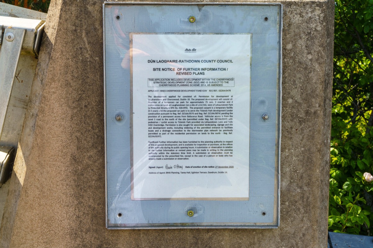
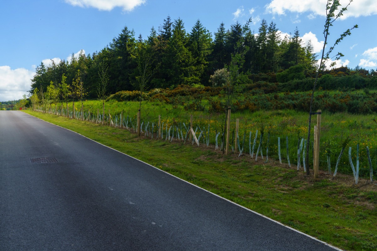
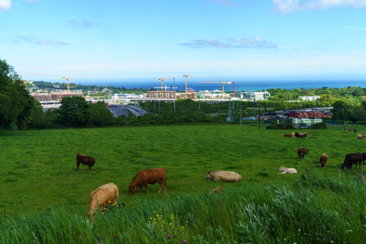
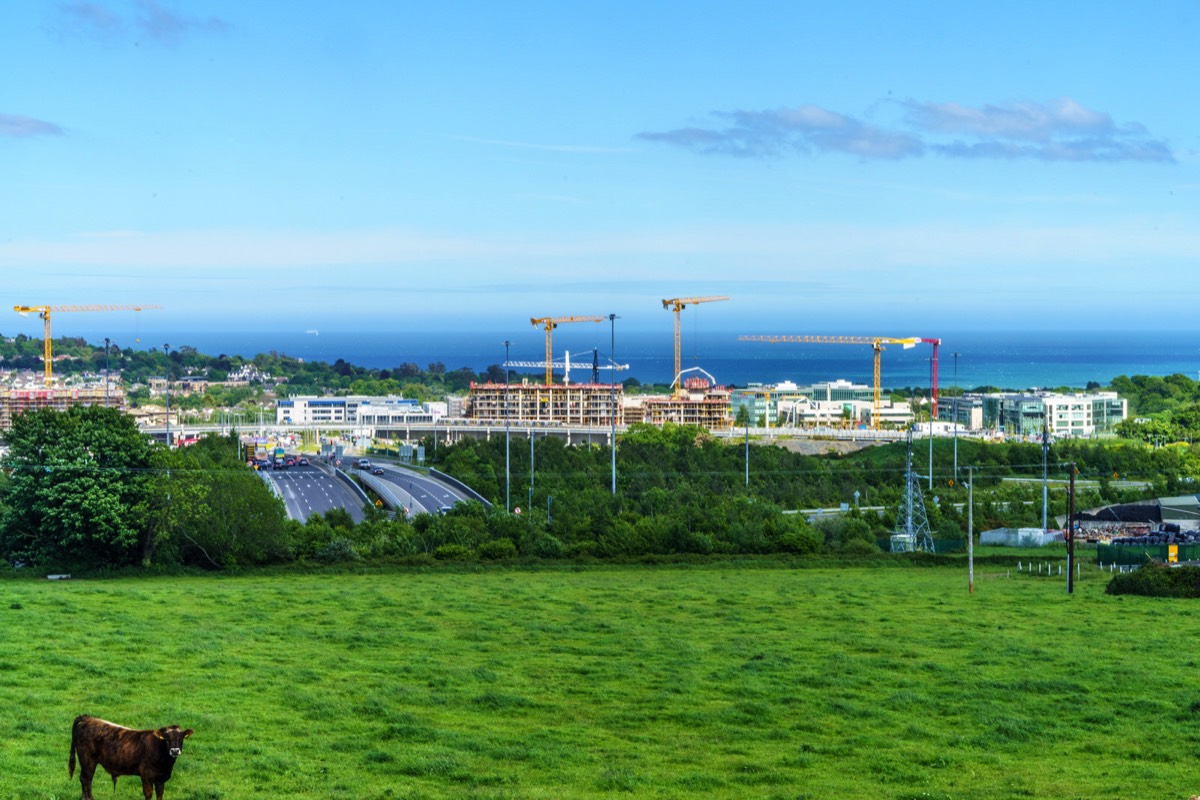
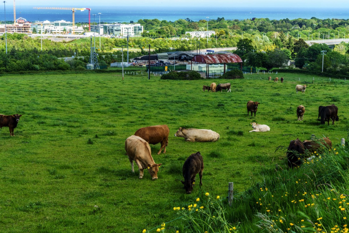
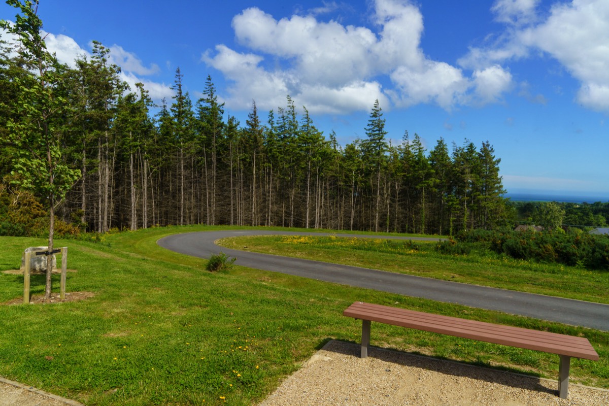
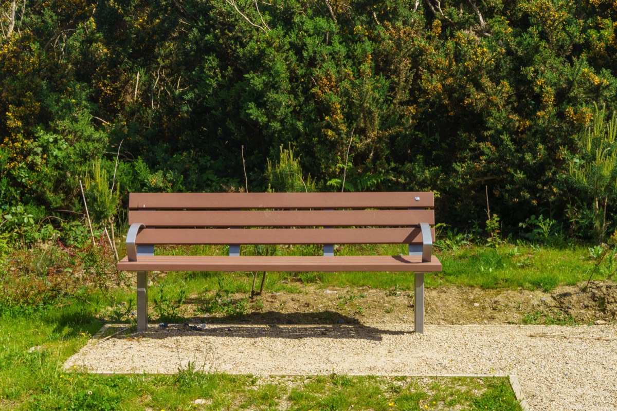
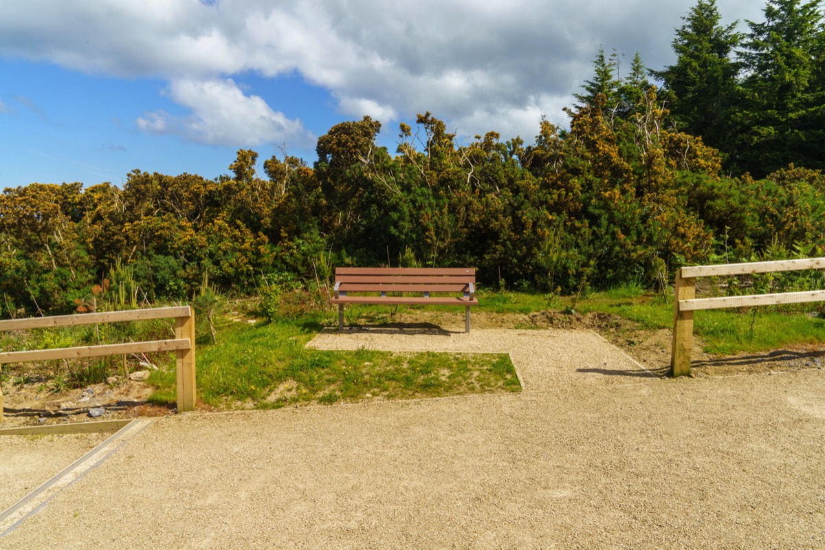
Ticknick Park is primarily intended to provide formal recreational facilities in the form of grass playing pitches. The pitches will be constructed to a high level of functionality and will be suitable for use all year round, due to a high-capacity drainage system. A path circuit is proposed around the playing pitches, wide enough to accommodate maintenance and emergency vehicles. Adjacent to the pitches will be a changing facility with toilets and ancillary facilities, along with parking for up to 22no. cars (including 2no. universally accessible spaces), and turning space for coaches for team transport, as well as service vehicle access. These will be accessed by pedestrians, cyclists and vehicles via a route from the existing M50 Lehaunstown Lane bridge. Also included in the park layout is a maintenance facility for the whole of Cherrywood.
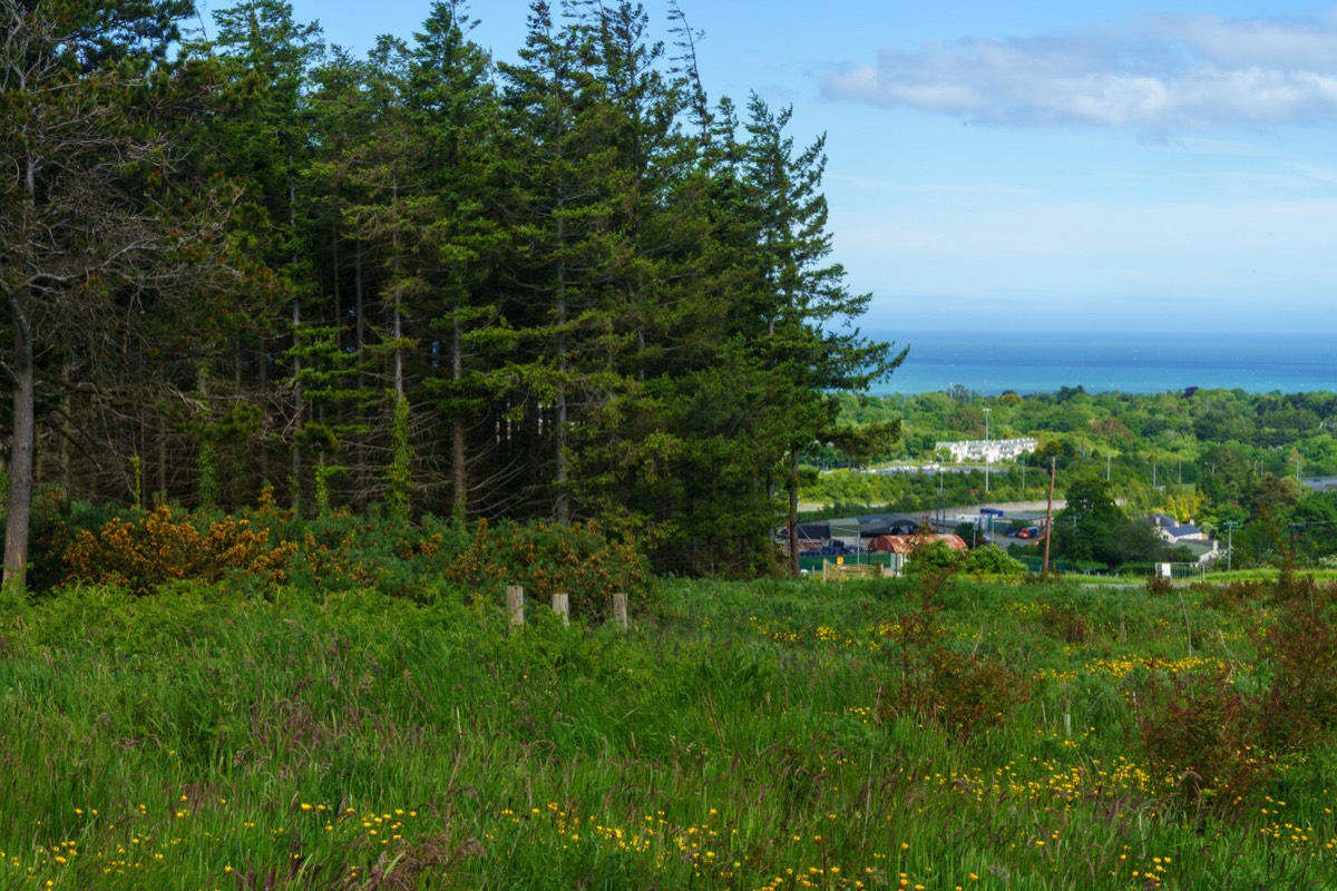
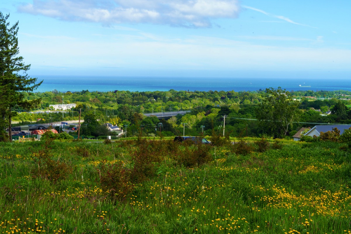
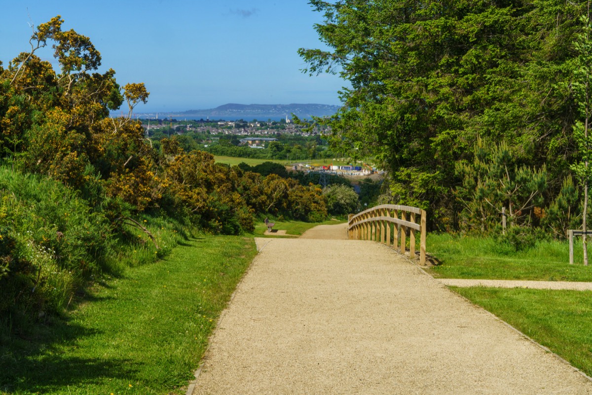
The importance of external and internal views within the park has been accounted for in the design. Appropriate planting and the management of existing trees and vegetation (crown-lifting and thinning, pruning of vegetation) are proposed to maintain and enhance certain important views and vistas.
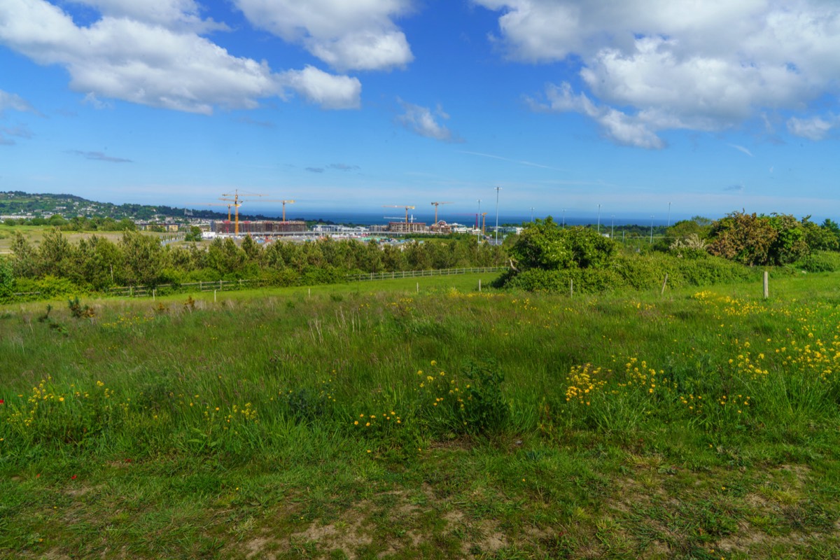
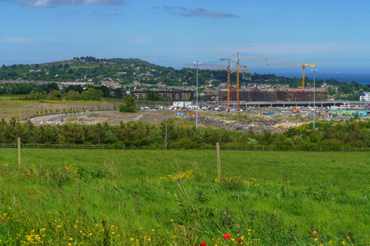
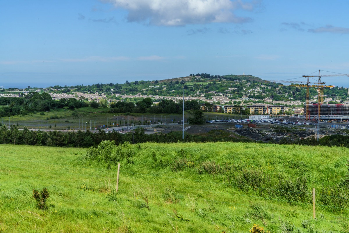
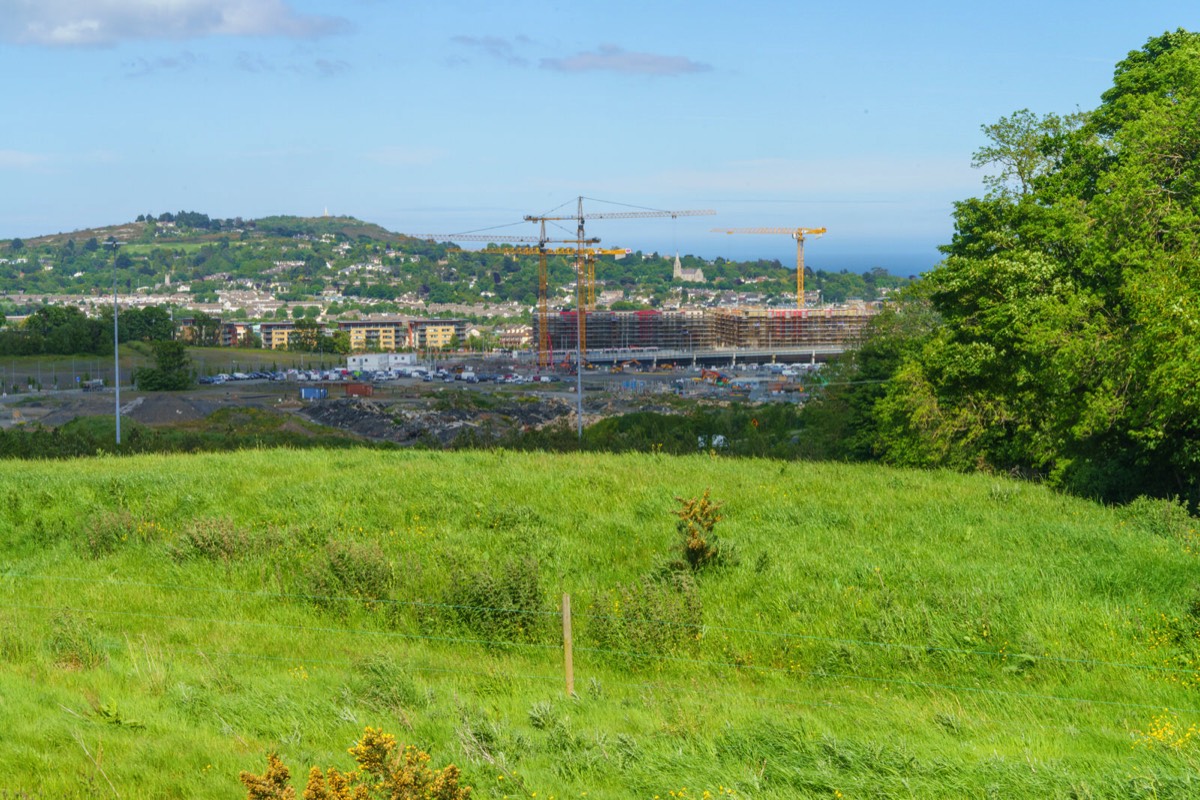
Cherrywood SDZ is the single largest undeveloped land-bank in Dún Laoghaire-Rathdown, and is approximately 360 hectares in size, nestled at the foot of the Dublin Mountains, is strategically located between the M50 and N11 transport corridors approximately 1km north of where they fork from the M11 and approximately 8km south of Dún Laoghaire town centre. Dún Laoghaire-Rathdown County Council, in recognising the area's strategic importance, applied to the Government for Strategic Development Zone (SDZ) status and the Government designated it as an SDZ in May, 2010.
Dún Laoghaire-Rathdown, in their role as the designated Development Agency for Cherrywood SDZ, had a statutory duty to draft and agree a Planning Scheme for the SDZ, which was approved by Council following a comprehensive public consultation in December 2012. This was then formally submitted to An Bord Pleanála who subsequently approved the Planning Scheme with modifications in April 2014.
The front-loading of significant transport and social infrastructure (parks and schools) outlined in the Planning Scheme will ensure that the SDZ area will be transformed into a new vibrant community, with approx. 8,700 homes including a minimum of 10% social housing units, spread over the new Town Centre and 3 smaller Village Centres with superior transport links including an enhanced bus service and 5 Luas stops throughout.
Note: Ticknock or Tiknock is a townland southwest of Sandyford in Dublin at the northeastern foothills of the Dublin Mountains
Today was beautiful so I decided get a LUAS tram as far as the Laughanstown tram stop and then walk along Lehaunstown Lane [spelling is a bit confusing] towards the Church at Tully. Unfortunately access to the ruined church and graveyard was blocked so I decided to continue on towards the M50 bridge and much to my surprise I arrived at the bottom of a stepped and ramped path which I had not seen before so I decided to explore and I ended up walking in a loop which returned me to the bridge.
On my return home further research revealed that I had explored what is to become one of three new public parks under development in Cherrywood. Below is a description by the developers:
Ticknick Park is primarily intended to provide formal recreational facilities in the form of grass playing pitches. The pitches will be constructed to a high level of functionality and will be suitable for use all year round, due to a high-capacity drainage system. A path circuit is proposed around the playing pitches, wide enough to accommodate maintenance and emergency vehicles. Adjacent to the pitches will be a changing facility with toilets and ancillary facilities, along with parking for up to 22no. cars (including 2no. universally accessible spaces), and turning space for coaches for team transport, as well as service vehicle access. These will be accessed by pedestrians, cyclists and vehicles via a route from the existing M50 Lehaunstown Lane bridge. Also included in the park layout is a maintenance facility for the whole of Cherrywood.
The importance of external and internal views within the park has been accounted for in the design. Appropriate planting and the management of existing trees and vegetation (crown-lifting and thinning, pruning of vegetation) are proposed to maintain and enhance certain important views and vistas.
Cherrywood SDZ is the single largest undeveloped land-bank in Dún Laoghaire-Rathdown, and is approximately 360 hectares in size, nestled at the foot of the Dublin Mountains, is strategically located between the M50 and N11 transport corridors approximately 1km north of where they fork from the M11 and approximately 8km south of Dún Laoghaire town centre. Dún Laoghaire-Rathdown County Council, in recognising the area's strategic importance, applied to the Government for Strategic Development Zone (SDZ) status and the Government designated it as an SDZ in May, 2010.
Dún Laoghaire-Rathdown, in their role as the designated Development Agency for Cherrywood SDZ, had a statutory duty to draft and agree a Planning Scheme for the SDZ, which was approved by Council following a comprehensive public consultation in December 2012. This was then formally submitted to An Bord Pleanála who subsequently approved the Planning Scheme with modifications in April 2014.
The front-loading of significant transport and social infrastructure (parks and schools) outlined in the Planning Scheme will ensure that the SDZ area will be transformed into a new vibrant community, with approx. 8,700 homes including a minimum of 10% social housing units, spread over the new Town Centre and 3 smaller Village Centres with superior transport links including an enhanced bus service and 5 Luas stops throughout.

You will find links to buy products from Amazon, Google and other partners. If you click on these links, you’ll find that the URL includes a small extra piece of text which identifies that the click came from my websites. This text is an affiliate code, and it means that I get a small percentage of the money you spend if you choose to buy that product, or, in some cases, other products from the site soon after. These affiliate links help pay the costs of producing my websites and ensure that the content is free to you.
COPYRIGHT INFORMATION BELOW APPLIES ONLY TO PHOTOGRAPHS

This work by William Murphy aka Infomatique is licensed under a Creative Commons Attribution-NonCommercial-ShareAlike 4.0 International License.
Permissions beyond the scope of this license may be available at https://excellentstreetimages.com/in-the-year-twentytwenty/copyright/.