THE NEW H1 BUS ROUTE
Today I decided the give the new H1 bus route a try and I went as far a Grange Abbey.
The National Transport Authority in conjunction with Dublin Bus have launched the first phase of the new BusConnects network for Dublin. This phase includes routes connecting Dublin’s north east to the city centre covering the areas of Howth, Baldoyle, Donaghmede, Raheny, Malahide, Portmarnock and Howth.
BusConnects Dublin plans to deliver an enhanced bus system that is better for the city, its people and the environment. The programme includes a suite of transformative changes to the bus system, intended to make it more efficient, faster, reliable and easier to use. Recent announcements relate to the bus network aspects of the programme and not the infrastructure proposals.
The overall objective of the improved network will be a significant increase in capacity and frequency for customers, as well as more evening and weekend services for all spines. This is the first phase in the implementation of the new BusConnects network and follows on from three rounds of public consultation which concluded in 2020.
The H spine branches are the primary driver of the new network delivering fast and frequent services to the city centre. Services on H1 (from Baldoyle), H2 (from Malahide) and H3 (from Howth) will provide greater levels of service to these residents and the surrounding communities.
The routes commence service from Sunday the 27th of June taking over from the current buses in operation namely the 29a, 32, 31, 31a and 31b. As part of these arrangements the terminus for route 130 will move from Lower Abbey Street to Talbot Street.
The remaining phases of the network will be rolled out over an incremental basis in the coming years with the south east C spine (along the Lucan Road corridor) due to be launched in autumn 2021.
Raheny railway station, opened on 25 May 1844, overlooking the village centre, serves the DART suburban railway system and the Dublin-Belfast main line, and parts of Raheny are served by other DART stations, Harmonstown and Kilbarrack, on the same line. Raheny is also served by Dublin Bus (routes H1, H2 and H3).
Much of the district is situated on gently rising ground, with a bluff overlooking Bull Island at Maywood and Bettyglen, and further rises from the village centre to the station and then to Belmont or Mount Olive, a hill which once featured a windmill. Opposite and beyond Belmont was once an area of sunken land with limestone quarries but this was landfilled, much of it with urban refuse, and then partly levelled and converted into a city park, Edenmore Park, in the late 1960s.
The church was consecrated by the Archbishop of Dublin, Dr. Edward Byrne, on the 26th September 1926.
With the large growth of housing developments in the 1940’s and 1950’s it became necessary to increase the length of the church .
-
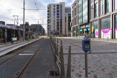
POINT TRAM STOP
-
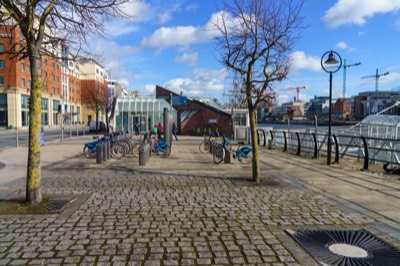
DUBLINBIKES NORTH WALL
-
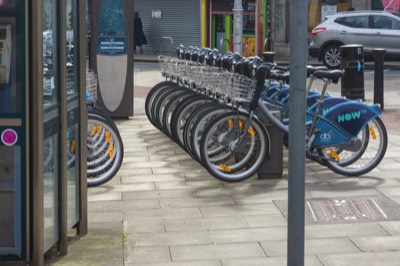
BOLTON STREET
-
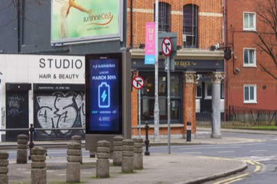
E-DUBLINBIKES
-
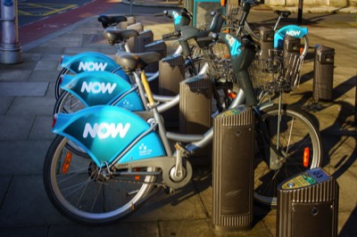
NOW
-
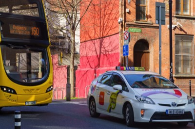
TAXI AND BUS
-
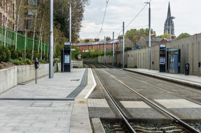
GRANGEGORMAN
-
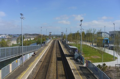
BROOMBRIDGE
-
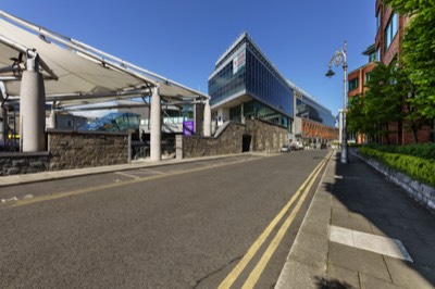
CONNOLLY STOP
-
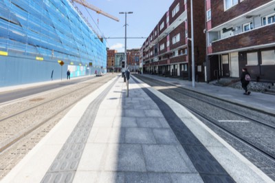
LOWER DOMINICK STREET
-
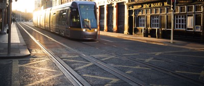
TRAM AT SUNSET
-
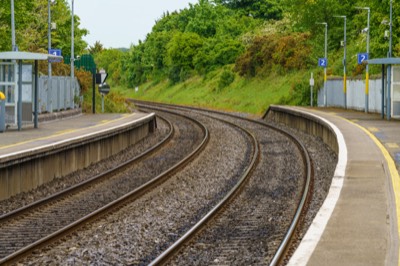
COOLMINE STATION
-
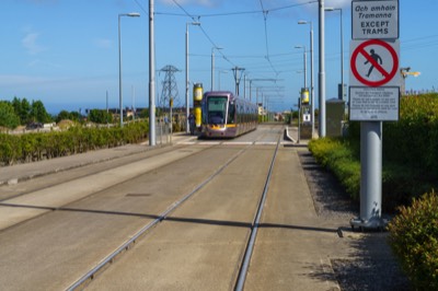
LAUGHANSTOWN
-
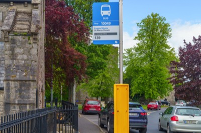
BUS STOP 10049
-
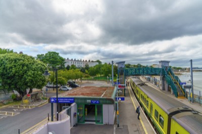
SALTHILL STATION
-
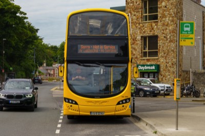
H3 BUS ROUTE
-
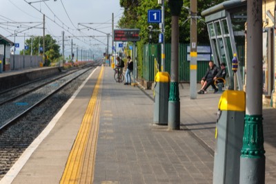
MALAHIDE STATION
-
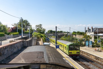
DALKEY STATION
-
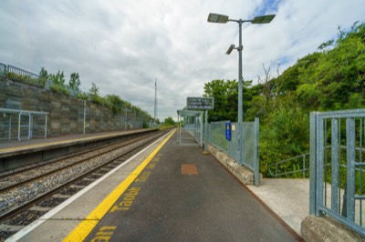
NAVAN ROAD
-
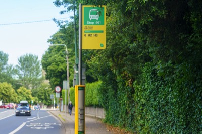
H1 BUS ROUTE
-
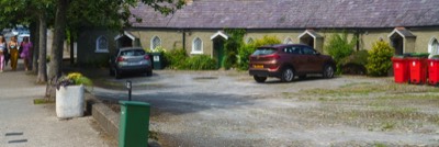
DOH-RAY-MEE
-
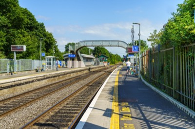
CLONSILLA STATION
-
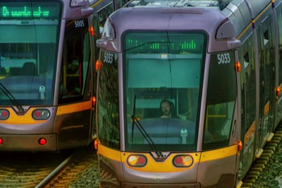
TWO TRAMS
-
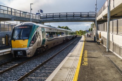
PELLETSTOWN
-
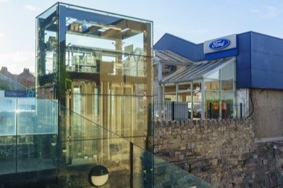
PHIBSBOROUGH STOP
-
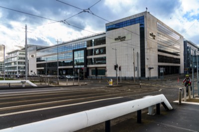
TRAM BRIDGE
-
COPYRIGHT INFORMATION BELOW APPLIES ONLY TO PHOTOGRAPHS

This work by William Murphy aka Infomatique is licensed under a Creative Commons Attribution-NonCommercial-ShareAlike 4.0 International License.
Permissions beyond the scope of this license may be available at https://excellentstreetimages.com/in-the-year-twentytwenty/copyright/.


