
Custom Search
THE GREEN MENU OPTIONS ARE MOBILE FRIENDLY AND ARE FASTER SO THEY ARE RECOMMENDED. THE RED MENU OPTIONS ARE SOMEWHAT SLOWER DEPENDING ON YOUR DEVICE OR BROWSER AND ARE MORE SUITABLE FOR DESKTOPS AND LAPTOPS. THE BLUE OPTIONS ARE PAGE LINKS AND WILL BE PHASED OUT GOING FORWARD
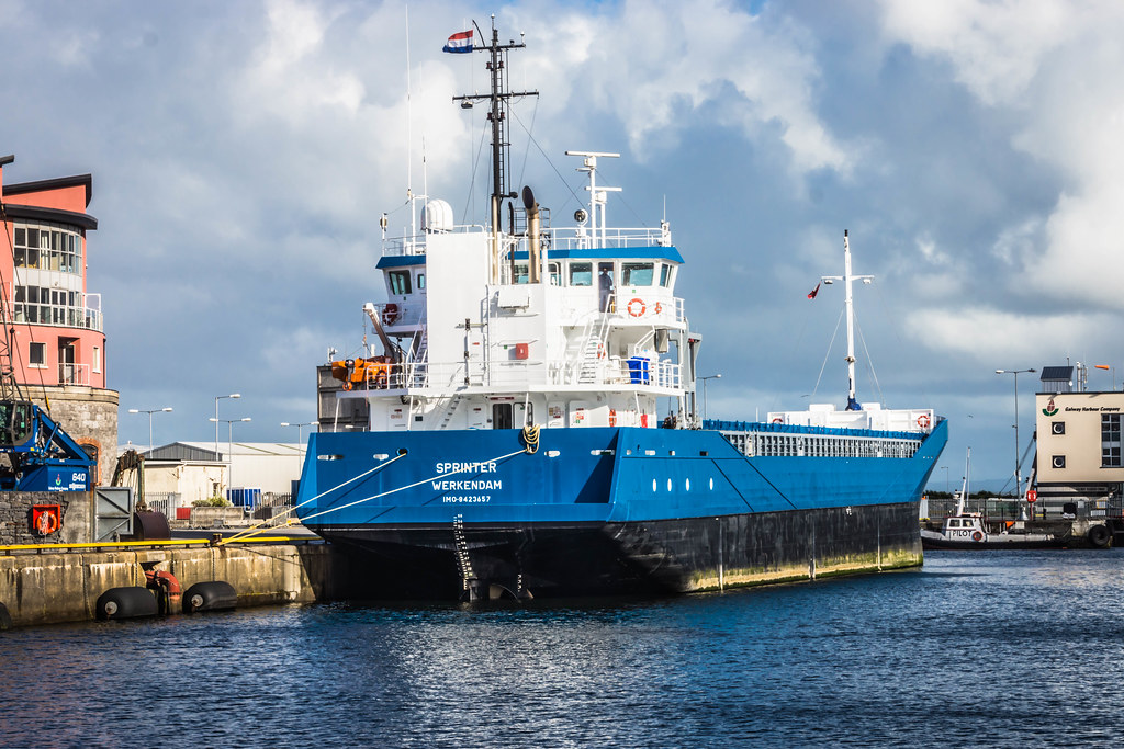
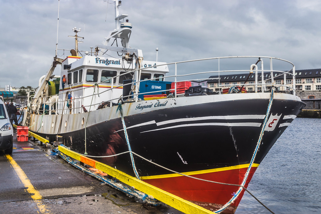
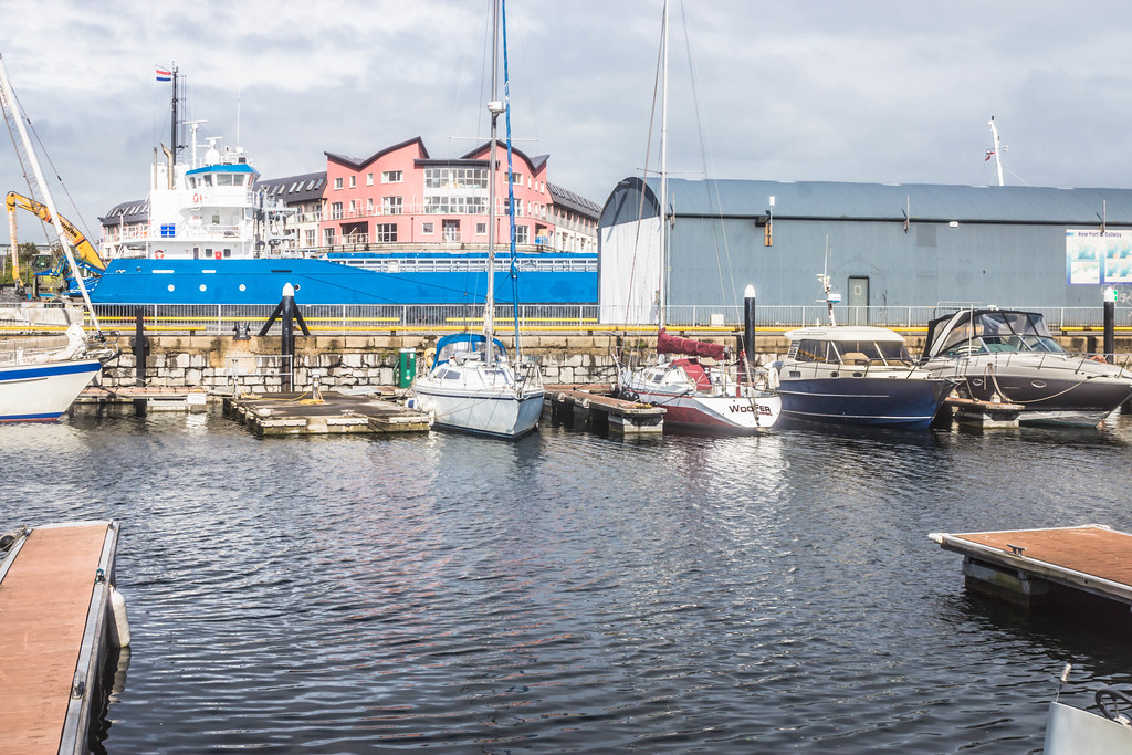
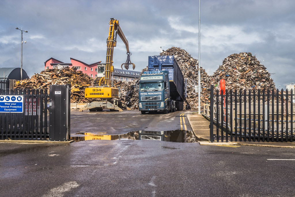
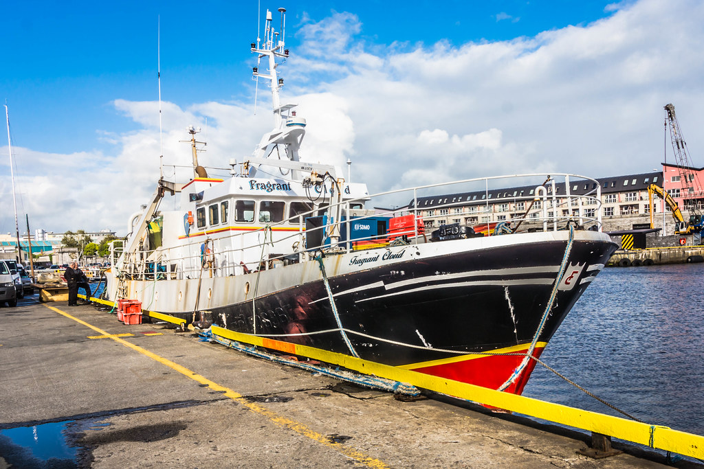
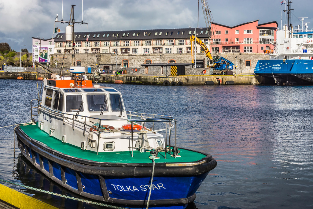
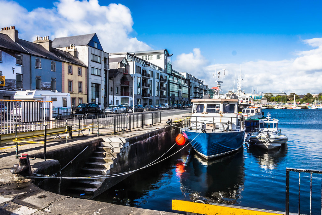
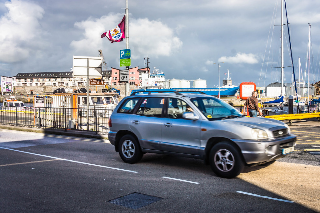
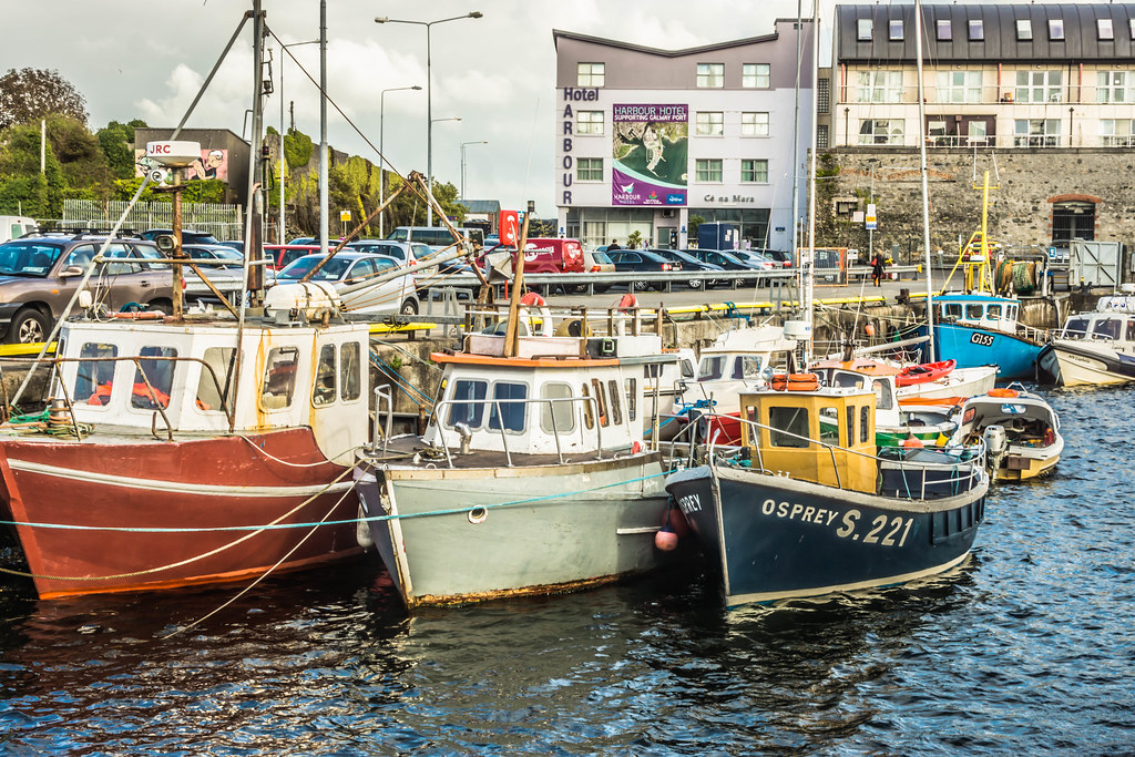
GALWAY HARBOUR AND DOCKLANDS
This should be my last trip using the Sony NEX-7, a camera that I really liked. Unfortunately the NEX-7 has reached the end of its useful life and also it was not weatherproof. Based on my experience this year a weatherproof camera system is a must.
From now on I plan to use the recently launched A7RMk2 but there is a problem in that I do not currently have the funds to purchase a set of suitable lenses … that’s next year’s problem. The new camera has many advantages when it comes to street photography - it has a silent mode, it works well in low light, there is no real need for a tripod and it is weatherproof.
I arrived in Galway on the 25th. of August and it rained constantly from the minute I arrived in the city until I got on the train back to Dublin. There were a few clear sunny periods but not many.
Because of the rain and haze and very dark sky I had to use HDR and as a result water and sky tends to be a very deep blue that can look unnatural.
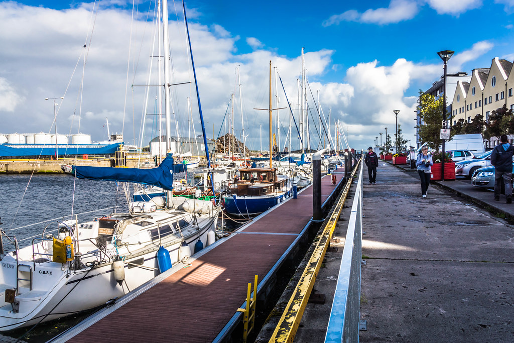
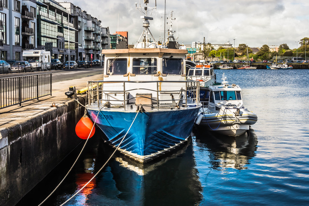
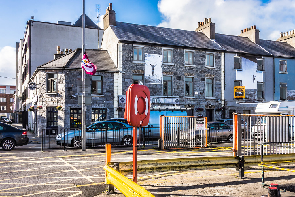
Today, Galway City is a thriving modern city. It is one of the fastest growing cities in Europe and is one of Irelands leading locations to live and to work in.
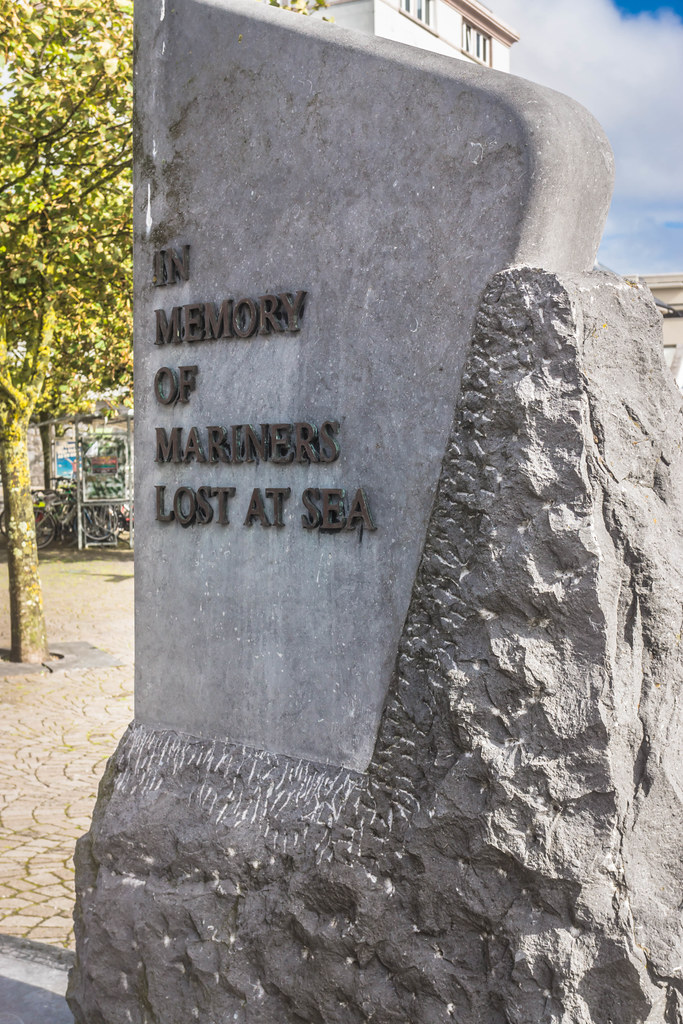
It is easy to forget that in the time before trains and cars, transportation was difficult. The quickest route for news, goods, or people was often by water. Galway, like any port town, drew its wealth from the sea; both from fishing and from the extensive trade it carried on with France, Spain, and the West Indies.
Alongside the great fleets of Europe one craft that came to distinguish itself, as Galway's signature upon the water that was the Galway Hooker. The Hookers were probably at their greatest presence in the Bay in the years preceding the Great Famine, when the Claddagh was at its height. Indeed, several reports from the period verify that the Claddagh fleet itself numbered at least 100 vessels. Unfortunately, famine, depleted fishing stocks, and the advent of modern technology would eventually seal the Hooker's fate as a working vessel.
The story of Galway and it relationship with the sea is one that goes back farther than the history books. Every great city has a great story and Galway is no exception, the story of the fourteen tribes that led the city to a golden age of prosperity and international acclaim is a legacy from the past that we still cherish today. The story of the Tribes begins with the Anglo-Norman invasion of Ireland during the late 12th century. Among the invaders were those of the powerful de-Burgo family. The de-Burgos took a keen interest in the province of Connaught and with the consent of Henry II of England they wrestled the land from the natives. Following the de-Burgo's claim, many families of Norman descent swept into the area. In a short time, fourteen of these families distinguished themselves as merchants. As recorded in Hardiman's History of Galway, those families bore the following surnames: Athy, Blake, Bodkin, Browne, D'Arcy, Deane, Ffont, Ffrench, Joyes, Kirwan, Lynch, Martin, Morris and Skerrett.
Profiting from one of the best seaports in Western Europe, the families accumulated such immense wealth and fame that they claimed complete control over the civic affairs of the city. The merchants had supreme control of Galway for nearly the next two hundred years.
Galway is still 'The City of the Tribes' it is welcoming, innovative and consistently meeting the challenges of its time and its relationship with the sea remains unfaltering. Times and tides have changed and the Port of Galway has always changed with them. Much of the land Galway city is built on is reclaimed from the sea, the last large-scale reclamation took place in the 1800's. Prior to this the tide came right up to where the Hotel Meyrick is today. This process has served the city well over centuries and we hope it will continue to do so in the 21st century.
Galway Harbour a Brief History through the Centuries:
10th century in 1124 Turlough O' Connor, King of Connacht erected his castle to create a strategic frontier fort possibly supplanting an existing small fishing village.
13th century the Anglo-Norman invasion of Connacht when Richard de Burgo finally laid claim to the fort in 1235 and developed a centre of trade at this important river crossing. There is evidence of a strong sea trade developing by the middle of the 13th century.
14th century with links to France, Flanders and Italy strengthened Galway's status as a big commercial port in Ireland and in 1380 Richard II gave permission to Iberian and Galway merchants to inter-trade.
15th century Galway was licensed as one of the four ports in Ireland along with Dublin,Cork and Waterford and developed lucrative trading links with European ports St. Malo, Dieppe, Lisbon, Seville and further afield to the West Indies and Newfoundland. Imports were wine, iron, lead, spices and silks, exports were wool, fish, hides, tallow and general provisions.
16th century saw the apex of Galway's greatness as a maritime port but lead to a period of decline after the Cromwellian and Williamite wars reflecting the ebb and flow of the city's economic fortunes from then on.
18th century trade revived somewhat with a new dock for shipping at the old mud dock and the Long Walk by Edward Eyre.
19th century the city experienced its greatest expansion with the development of the town as we know it today, streets, merchant houses, church's, the university and Court House fuelled by water powered industries following the development of a new dock in 1842 and the opening of the canal system in 1852. 1880 saw the advent of scheduled sailings of large cruise vessels and Dún Aengus Dock was developed in 1882.
20th century 1927 and 1933 the transatlantic liner trade was re-established in and 100 ships had called to the port. That trade ceased in the 1950's
1964 saw the deepening and development of the Commercial Dock
1994 saw the opening of the Enterprise Park and access bridge on reclaimed lands south east of the harbour.
21st century 2009 saw the relocation of the oil farm to the Enterprise Park. 2009 also saw the Port host a stopover leg of the Volvo Ocean Race. 2010 Planning Application to Redevelop the Port to future proof its economic development.
What is being suggested for the redevelopment of the Port.
The Development proposed as part of the planning application will allow the following to be available to Galway Harbour Company:
The Development proposed as part of the planning application will allow the following to be available to Galway Harbour Company:
- 23.89ha reclaimed as quays and back up land and consolidated during construction and available for industries such as those listed in the introduction of this report.
- -8m C.D. channel depth and a -8m C.D. depth, 400m diameter
- turning circle.
- 660m of shelterd quays with berths of -12m C.D. depth.
- Western Marina with 216 No. berths.
- Fishing Pier and Slipway
- Nautical Centre Slipway
- Freight rail link to enable freight and cargo to be efficiently transported to and from the harbour resulting in positive road traffic and environmental benefits.
- Commercial Port formed.
- Sheltered quays and craft stability while berthed.
- Rail Requirement addressed in design from initial construction with consequent Environmental benefits.
- The implementation of sustainable practices in design, construction, operation and administration of the proposed Harbour.
- Removal of the current constraints restricting the size of vessels that can be received in Galway.
- Remove oil vessels and oil terminal from the existing docks
- Commercial Port back up Yard Areas = 6.45ha
- Commercial Quay Area = 1.72ha
- Harbour Company Warehouse and Yard Areas = 1.53ha
- Future Oil and Bitumen Yards Area = 1.86ha
- ESB & Security Yard & Fire Water Storage Area = 1.08ha
- Marina Boat Yard, Quay & Village Areas = 1.83ha
- Fishing Pier & Yard Area = 0.55ha
- Roads & Access Area = 3.97ha
- Rail Line & Embankment Area = 2.2ha
- Nautical Centre & Slipway Area = 0.82ha
- Passenger Terminal Yard Area = 0.34ha
- Landscaped Areas = 5.44ha
- Wave Wall Area = 0.28ha
- Total New Land Use = 28.07ha (Entails 23.89ha of new land)