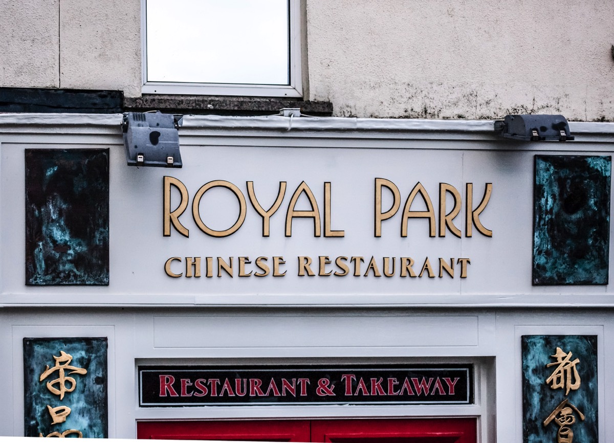
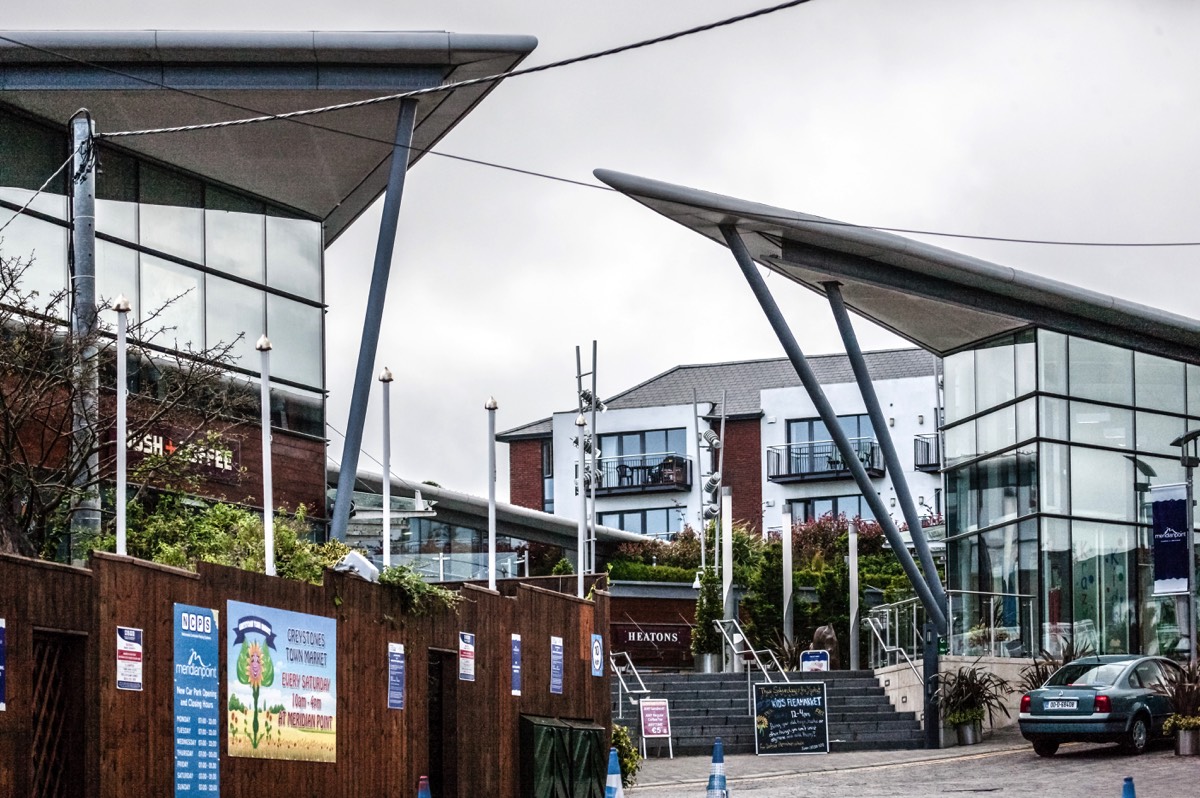
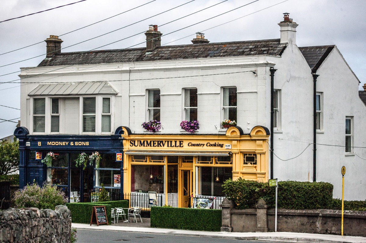
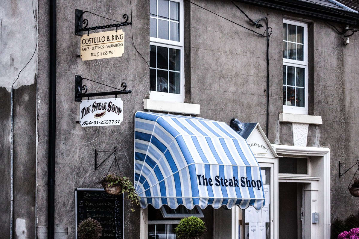
GREYSTONES COUNTY WICKLOW - 2009 SNAPSHOT
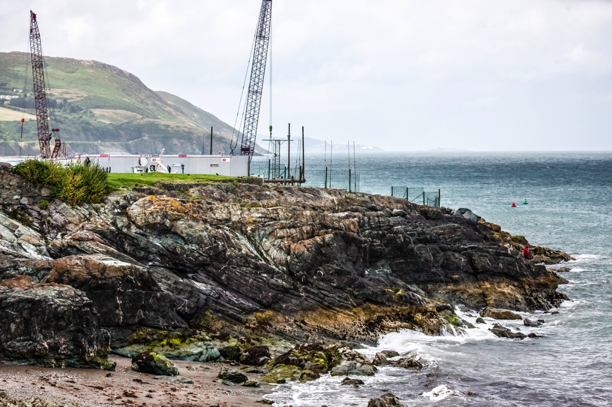
The town was named after a one kilometre stretch of grey stones between two beaches on the sea front. The harbour area and the railway station are at the northern and southern ends respectively. The North Beach, which begins at the harbour, is a stony beach and some of its length is overlooked by the southern cliffs of Bray Head, which are subject to erosion. The South Beach is a broad sandy beach about one kilometre long. It is a Blue Flag beach and receives many visitors and tourists, mainly in the summer.
LOADING
Greystones is located south of the site of an ancient castle of the Barony of Rathdown. There was a hamlet which, like the castle, was known as Rathdown, and which appeared on a 1712 map. This site occupied an area now known as the Grove, north of Greystones harbour, but only the ruins of a chapel, St. Crispin's Cell, survive. Greystones is a much more recent settlement and is first mentioned in Topographia Hibernica, a 1795 publication. Here it is described as a "noted fishing place four miles beyond Bray."
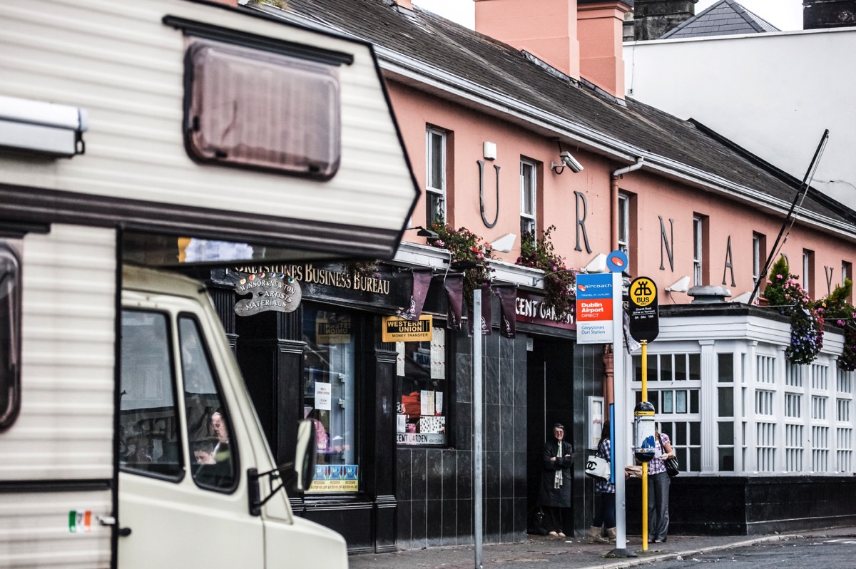
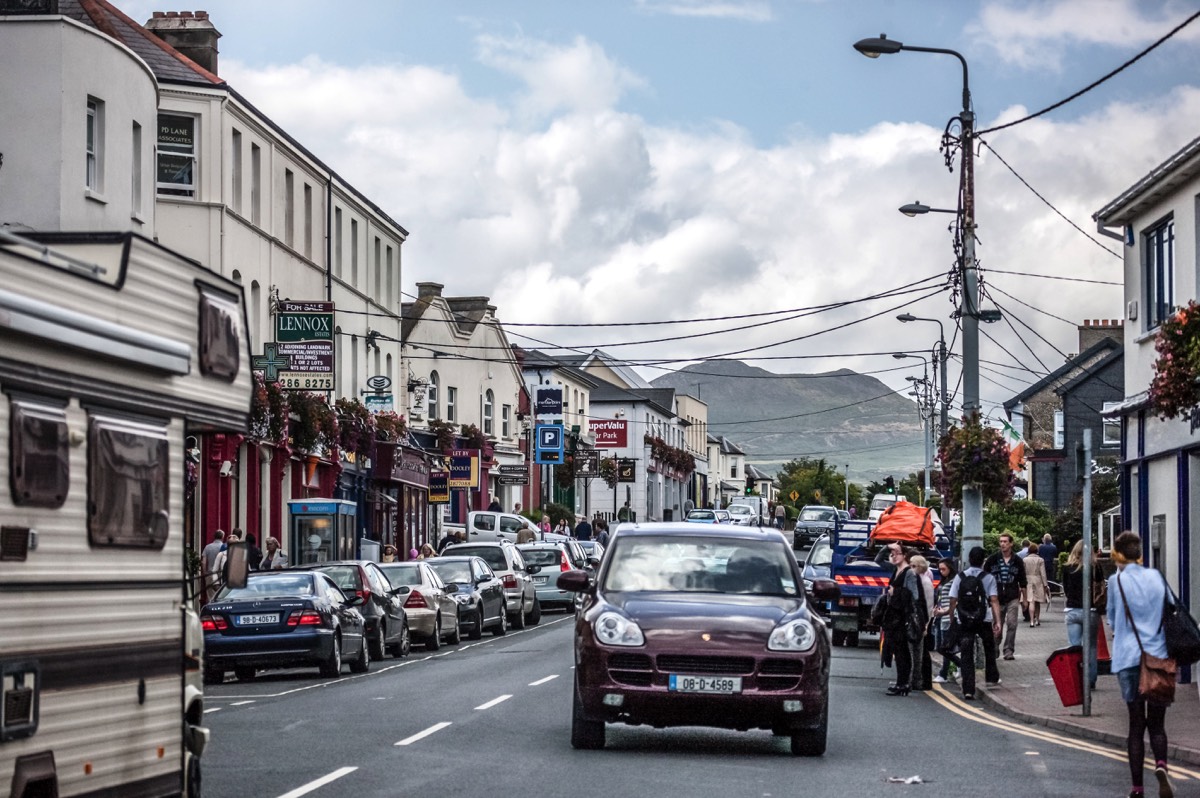
Greystones is a coastal town and seaside resort in County Wicklow, Ireland. It lies on Ireland's east coast, 8 km (5.0 mi) south of Bray and 27 km (17 mi) south of Dublin, with a population of about 15,000. The town is bordered by the Irish Sea to the east, Bray Head to the north and the Wicklow Mountains to the west.
LOADING