For some reason I could not get my GPS to work during my walk along Goatstown Road so my photographs were not geo-tagged. As soon as I returned to Roebuck Road the problem was resolved.
Goatstown got its name from the fact that formerly goats were bred there; in the 19th century it was popular to travel to Dundrum and nearby Goatstown as goat's milk was considered to be excellent for those suffering from tuberculosis.
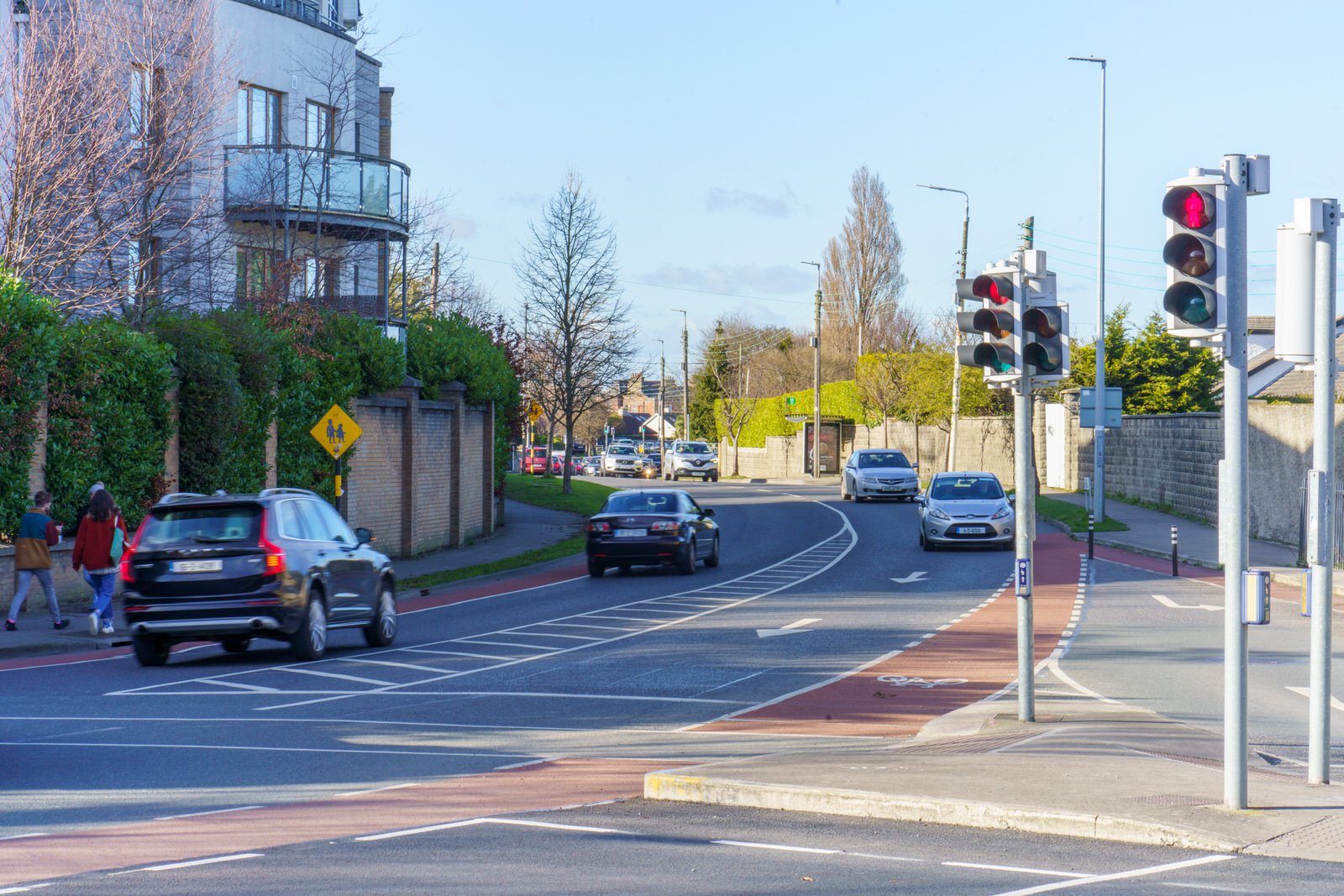
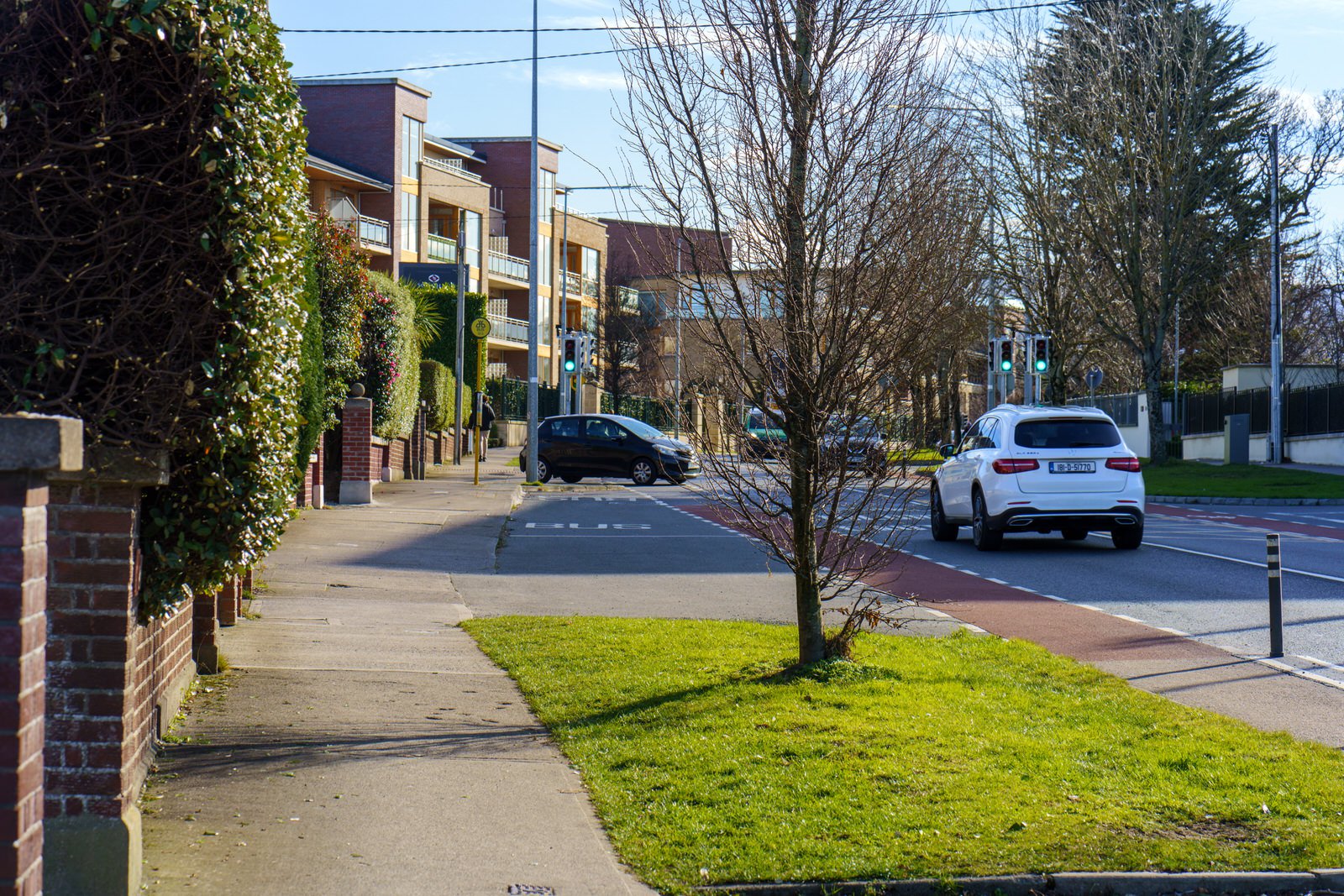
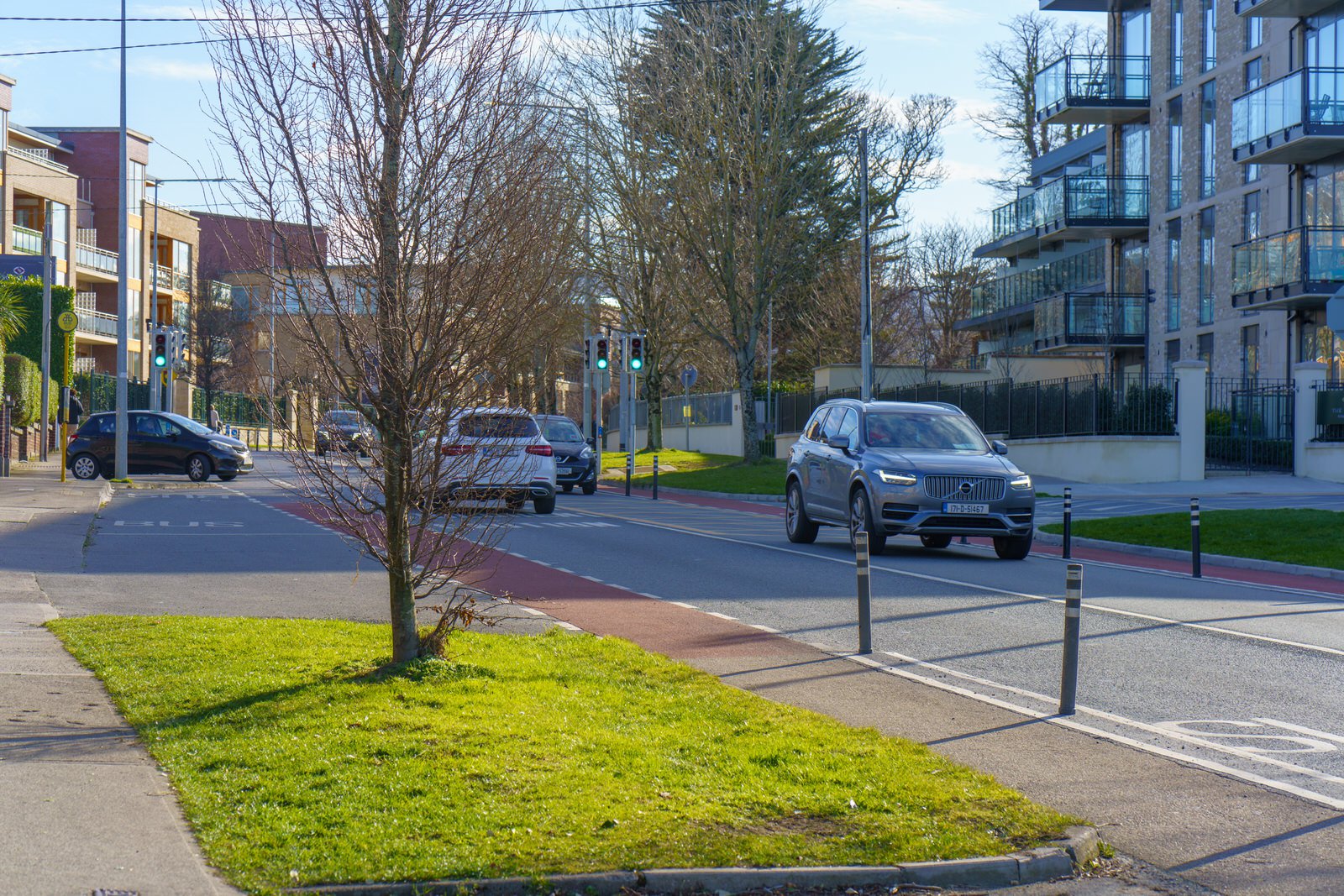
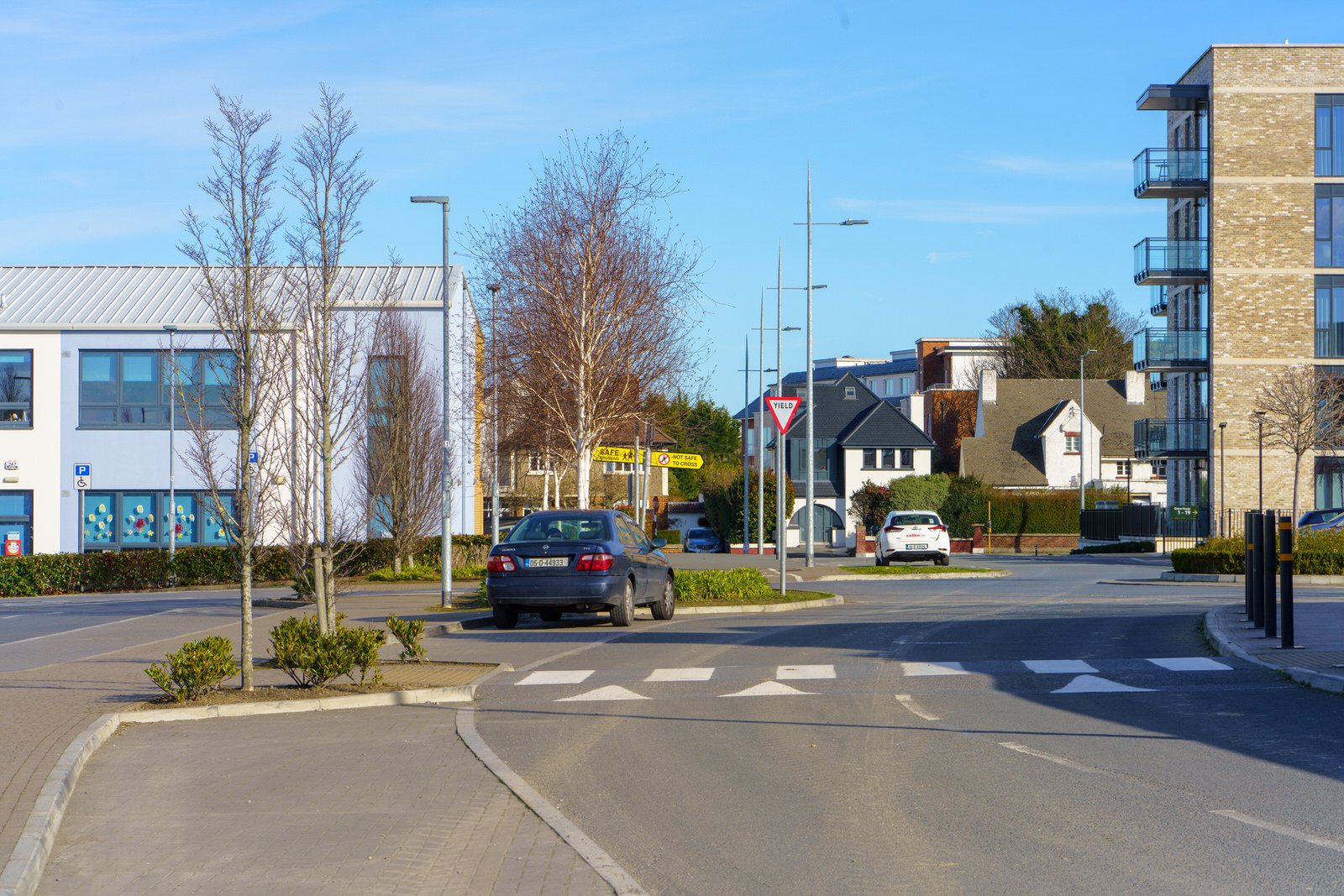
A number of roads pass through Goatstown. At the crossroads the R112 passes from west (Taney Road) to east (Mount Anville Road), to the south is the R825 (Goatstown Road) and to the north is the R133 (Lower Kilmacud Road). A short distance from the crossroads is a T-junction where the R826 terminates at the R112 on the Taney Road.
The Luas green line runs through the southwest corner of Goatstown and the Dundrum Luas stop is nearby, with the vehicular entrance off Taney Road.
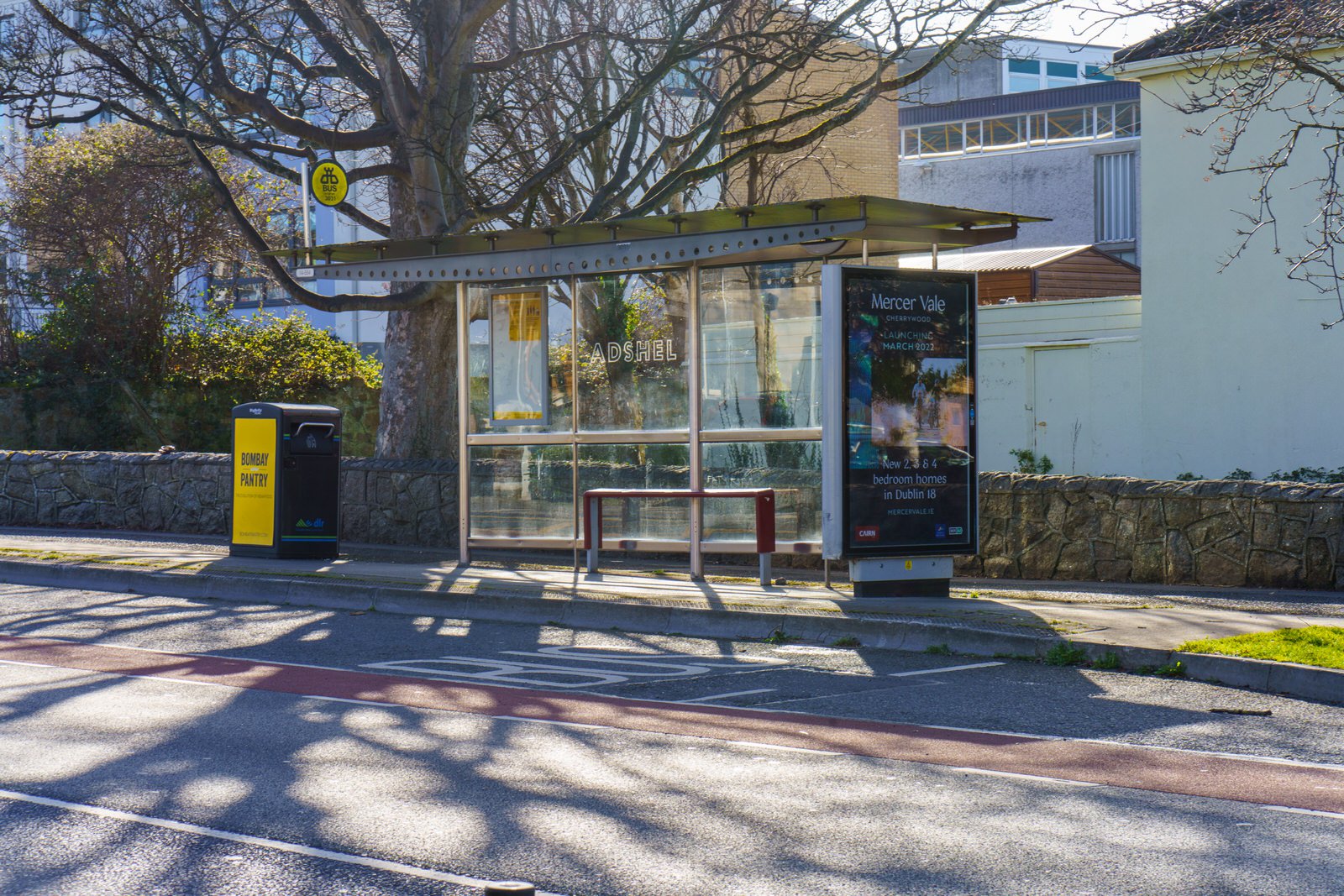
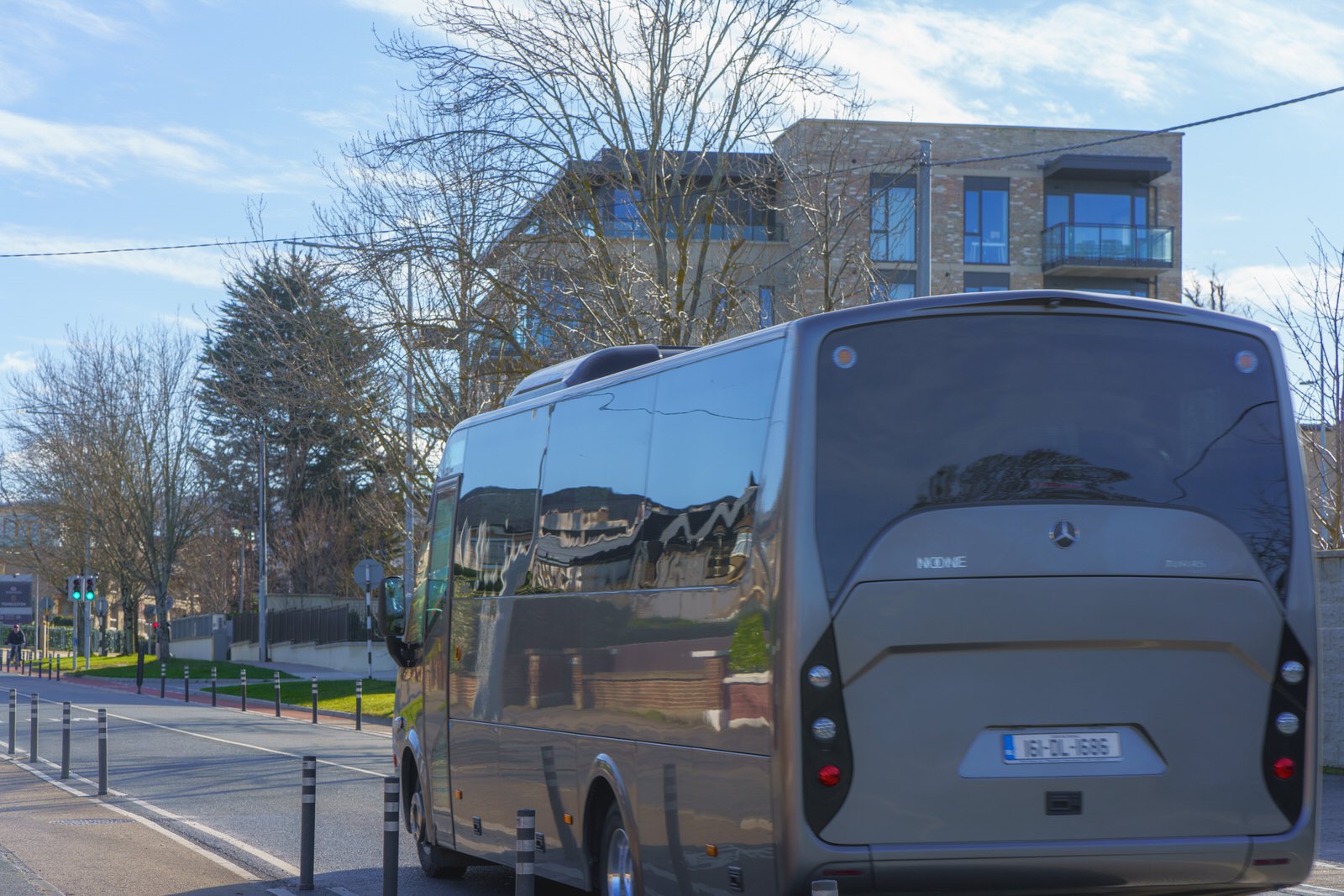
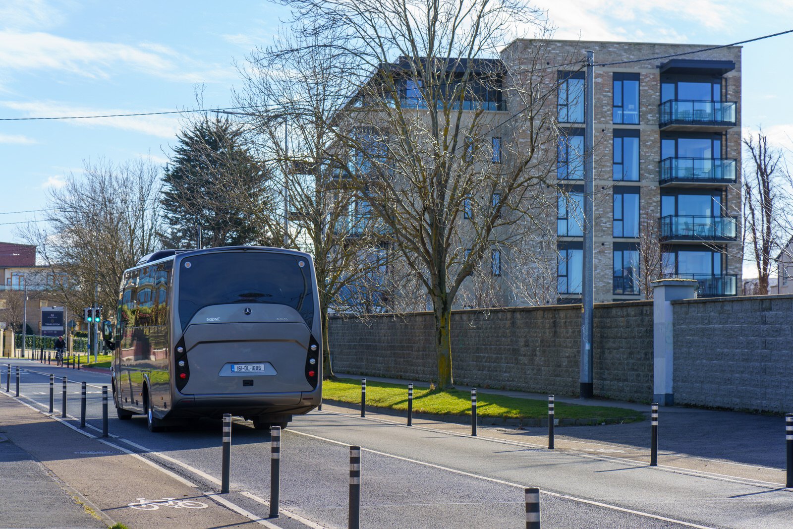
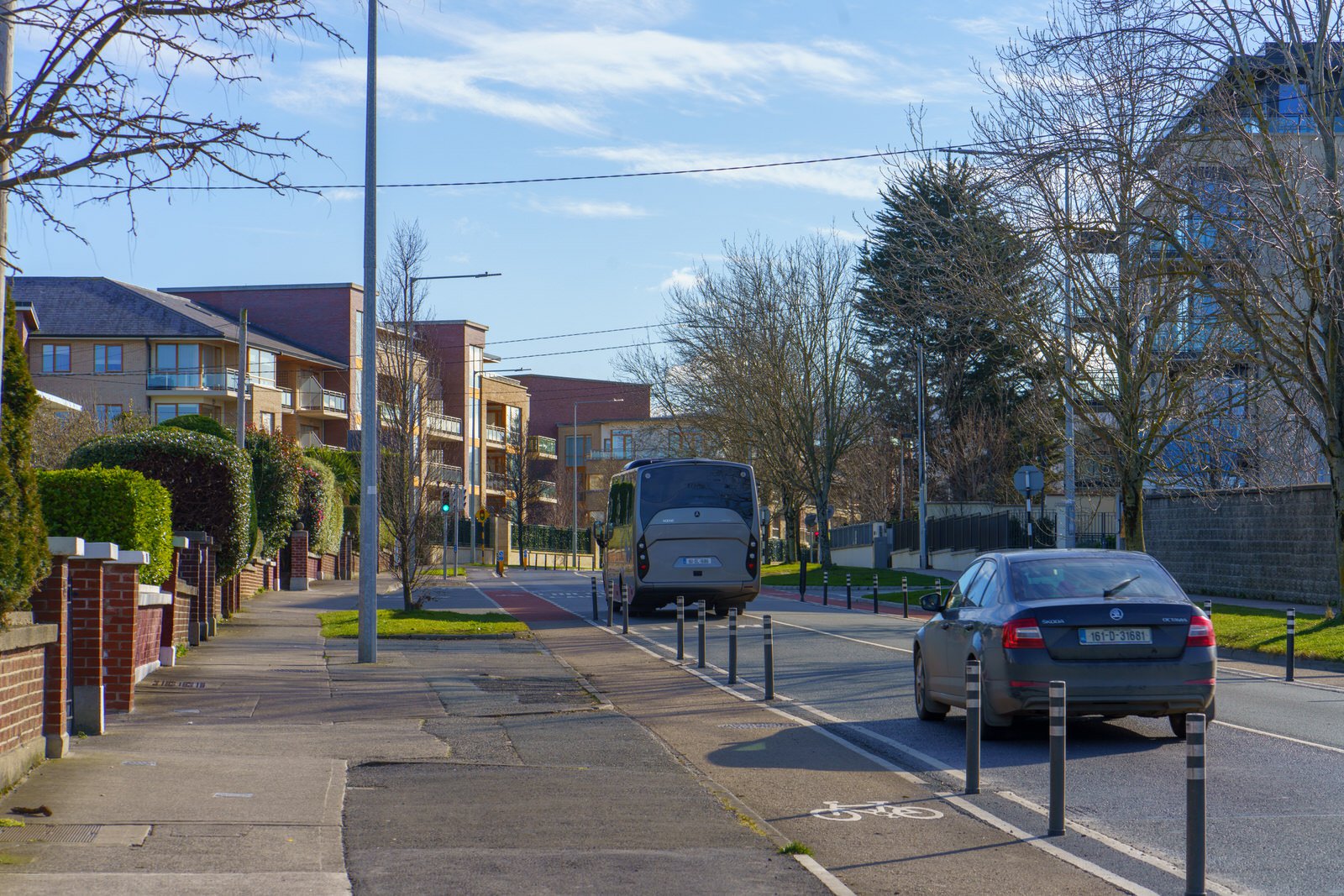
The bus routes of the 11, 11a and 75 run through Goatstown as well, linking Goatstown to the city centre, Dún Laoghaire and Tallaght. However, I would consider the bus services to be poor because of low frequency [in the case of the 11 every thirty minutes]
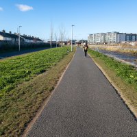
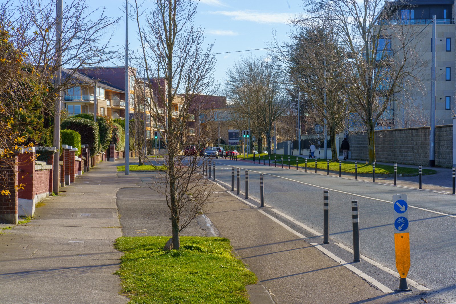
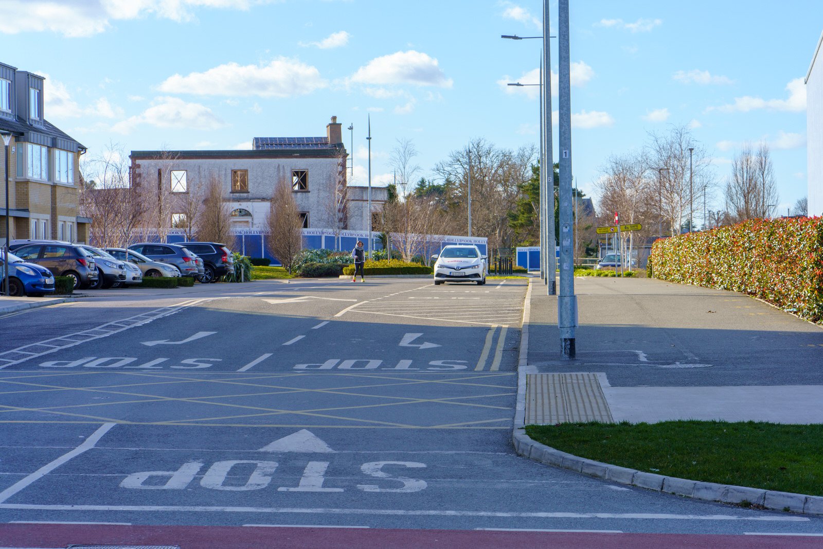
To the east of the Goatstown Road lies former allotment land, much of which was compulsorily purchased during the 1960s for the proposed Eastern Bypass / Saint Helen's link road. A portion of this land is currently being built on by Dún Laoghaire–Rathdown County Council, to provide social and affordable housing.
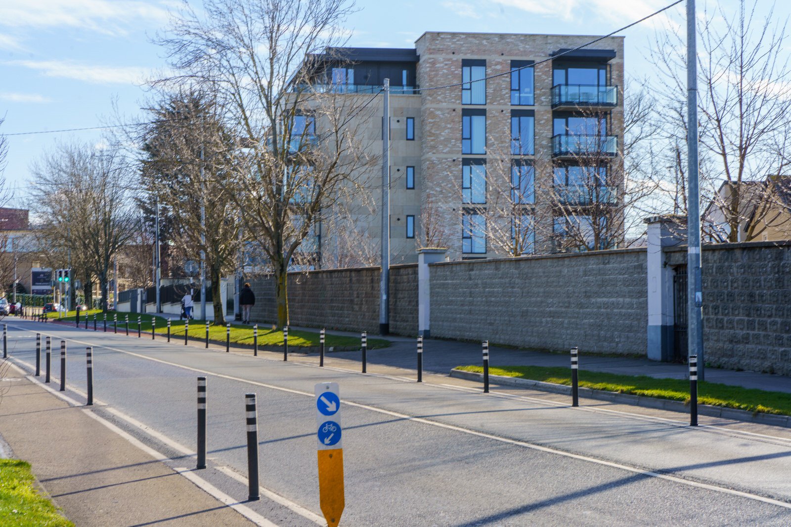
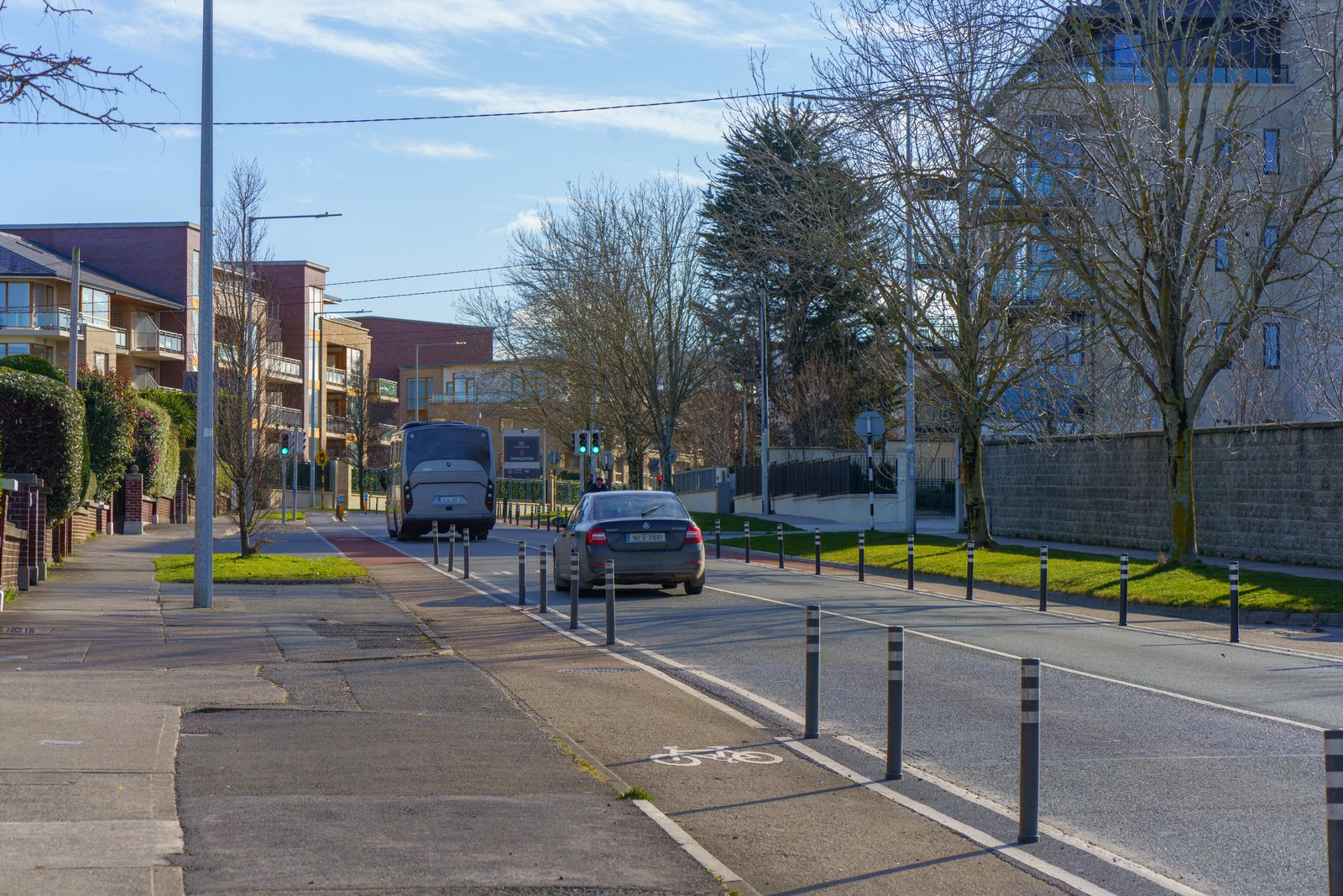
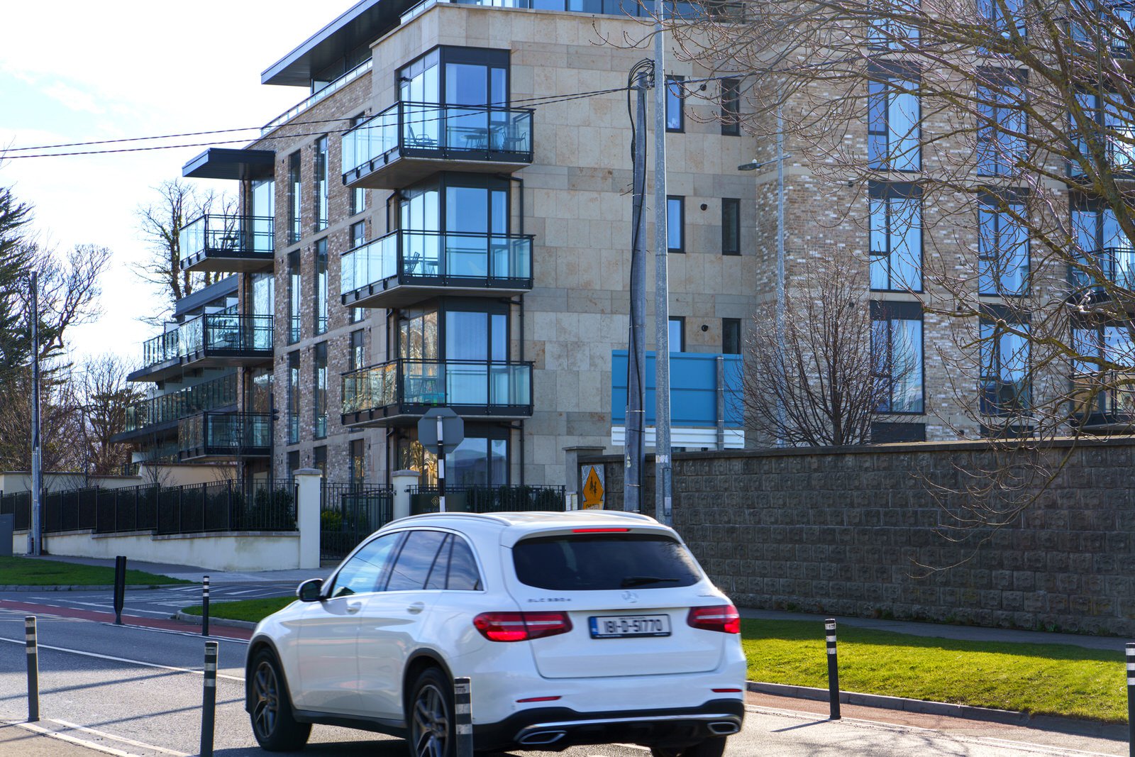
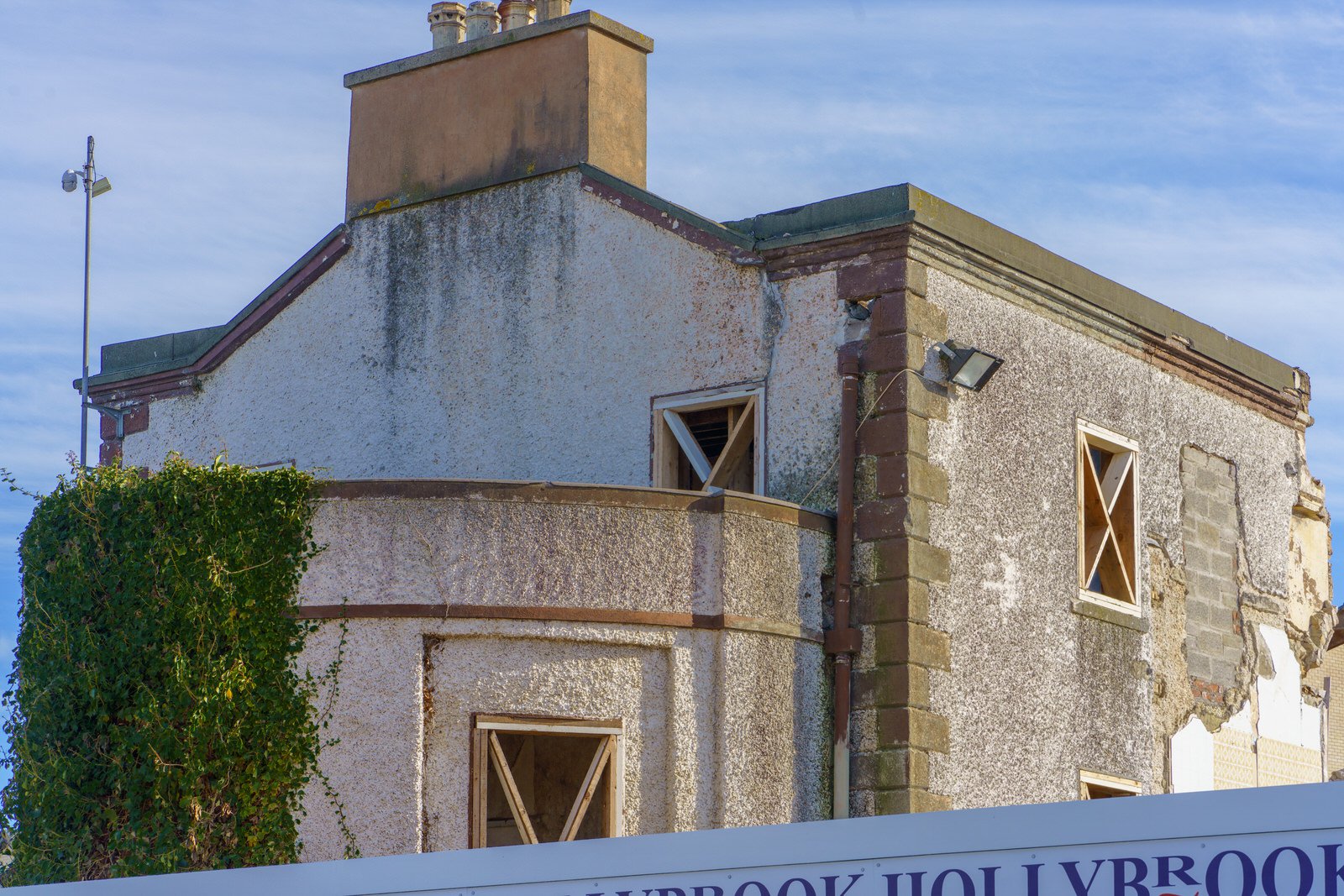
A Georgian house and remaining surrounding land, known as Trimbleston, was sold in the early 1990s to builders Sorohan Brothers. The house was subsequently damaged in two fires and the remaining ruins demolished and replaced by a housing and apartment development, also called Trimbleston. Phase two of Trimbleston has recently commenced with the demolition of five two-storey houses on Goatstown Road and construction of 202 dwelling units in their place and on land to the east owned by the Sorohans.