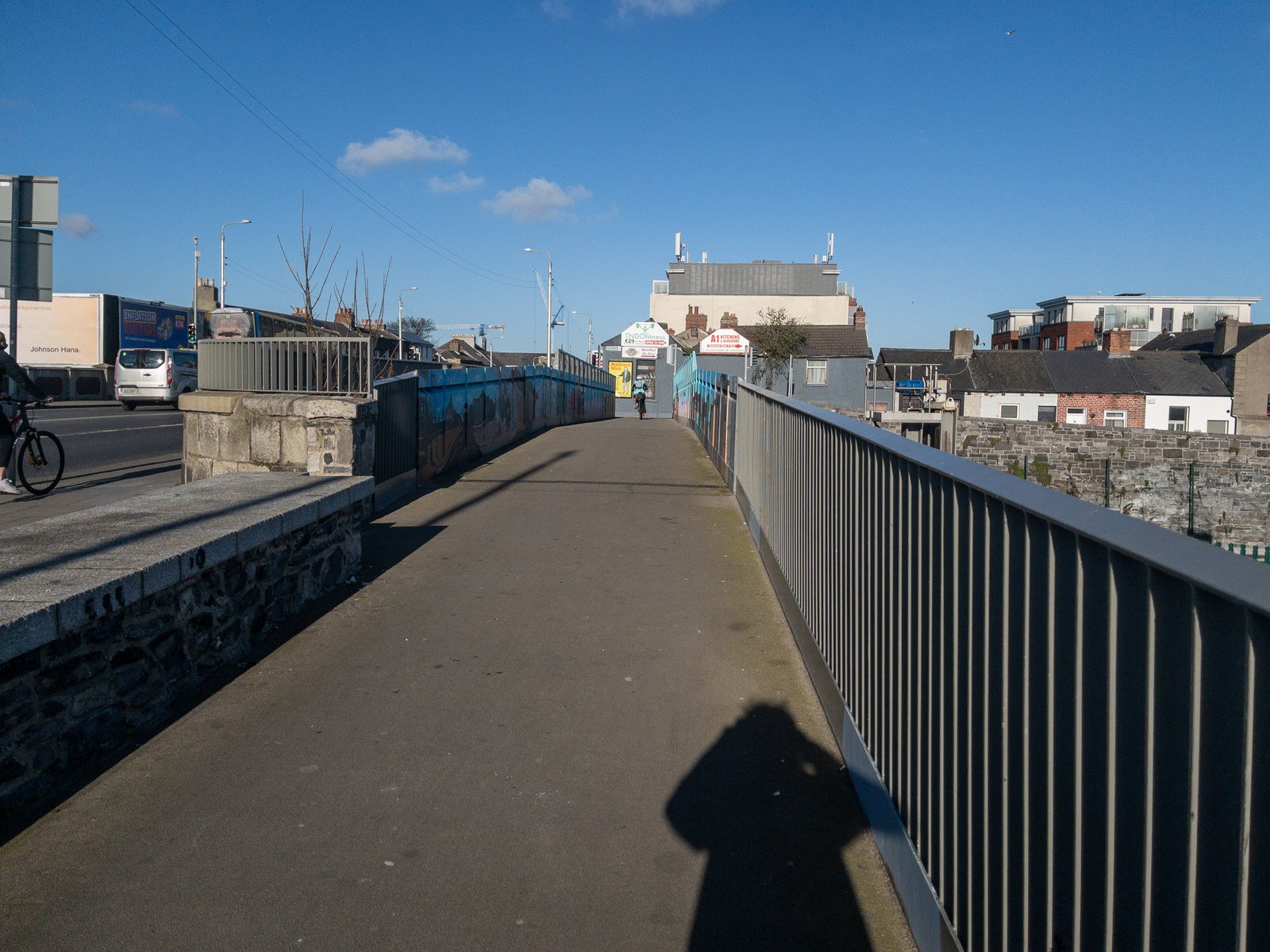
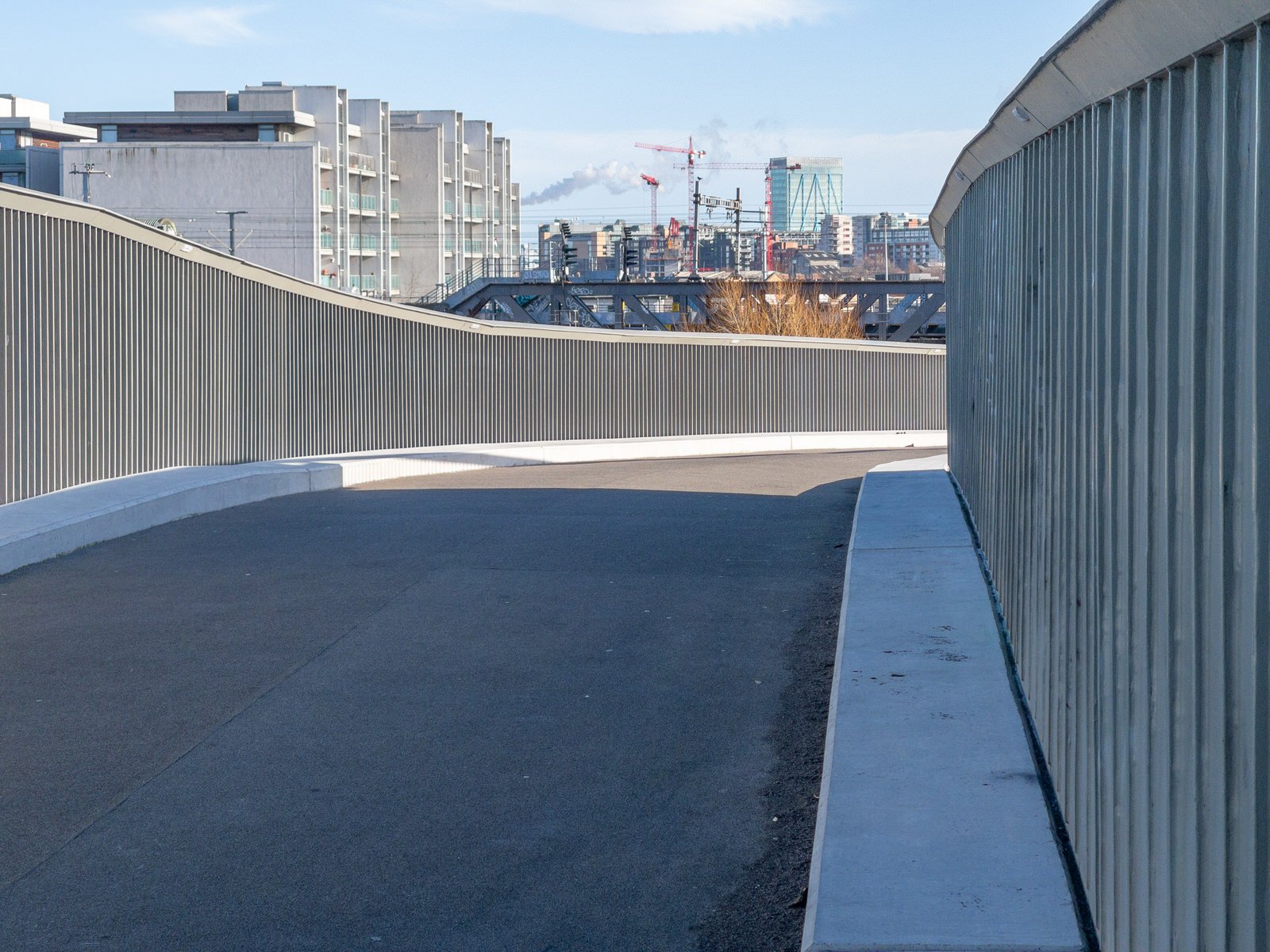
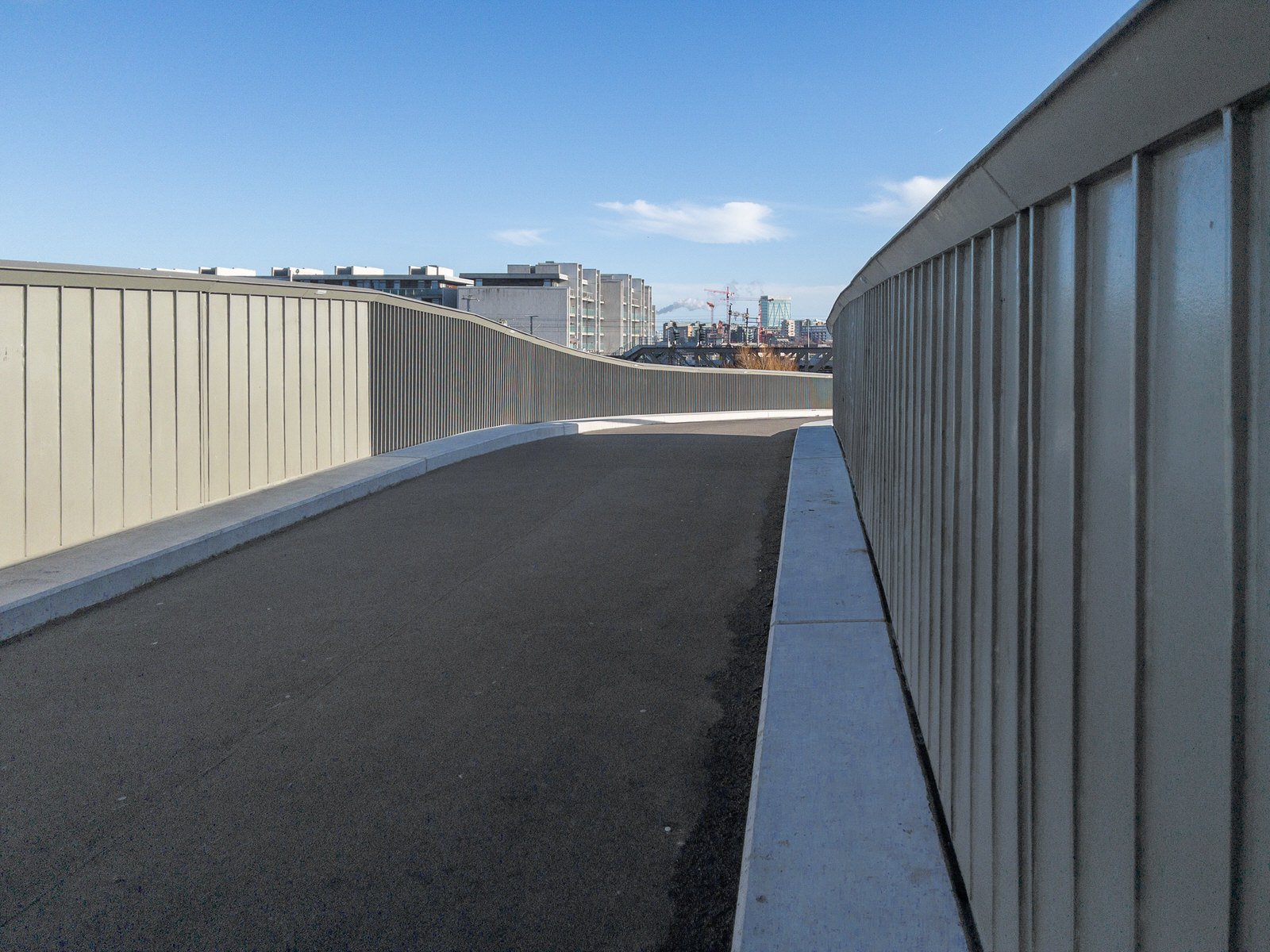
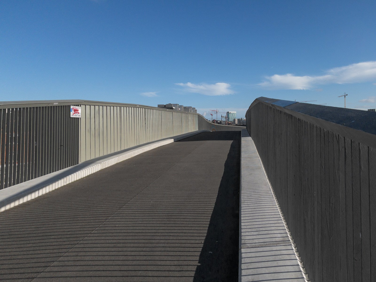
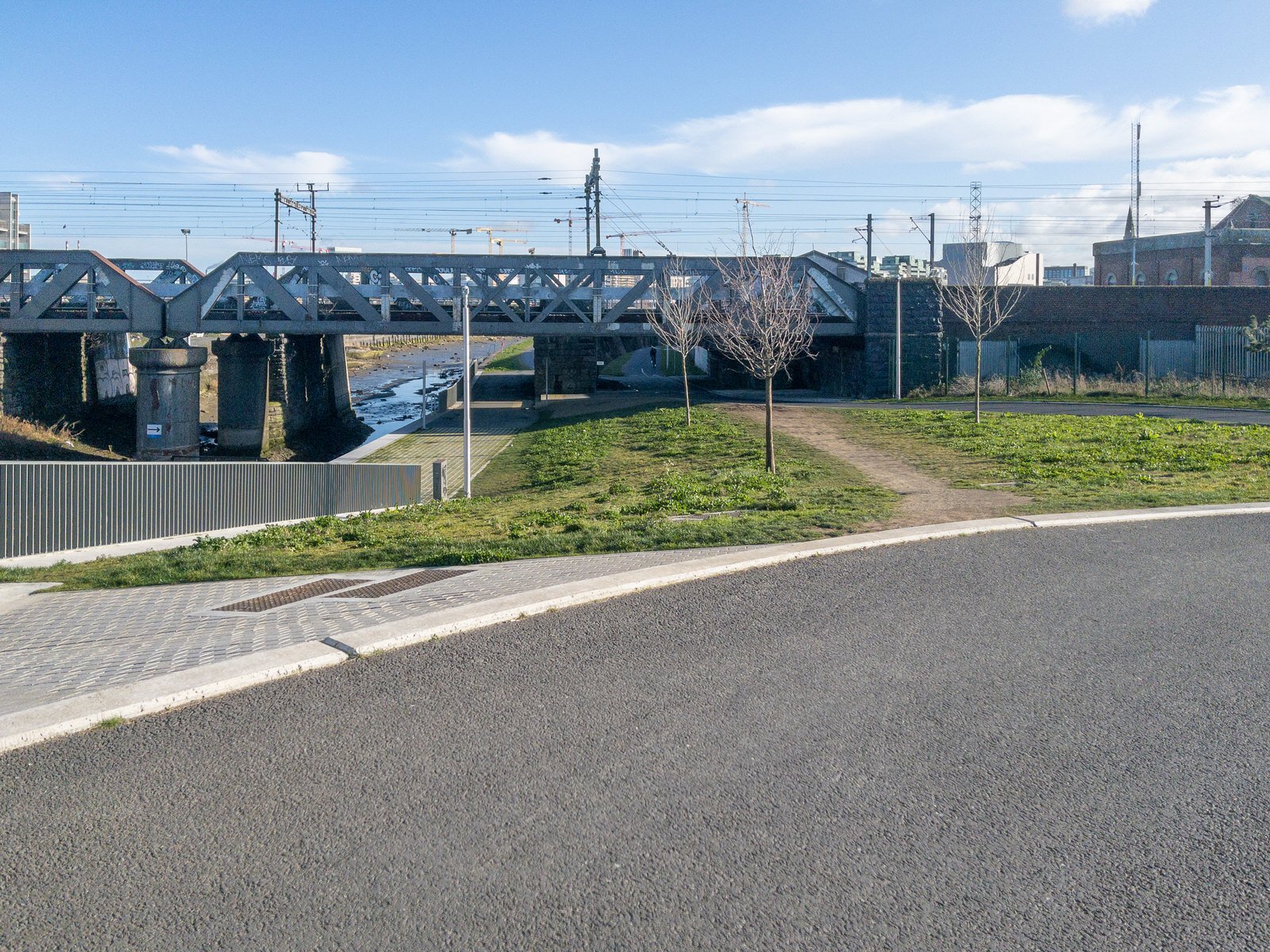
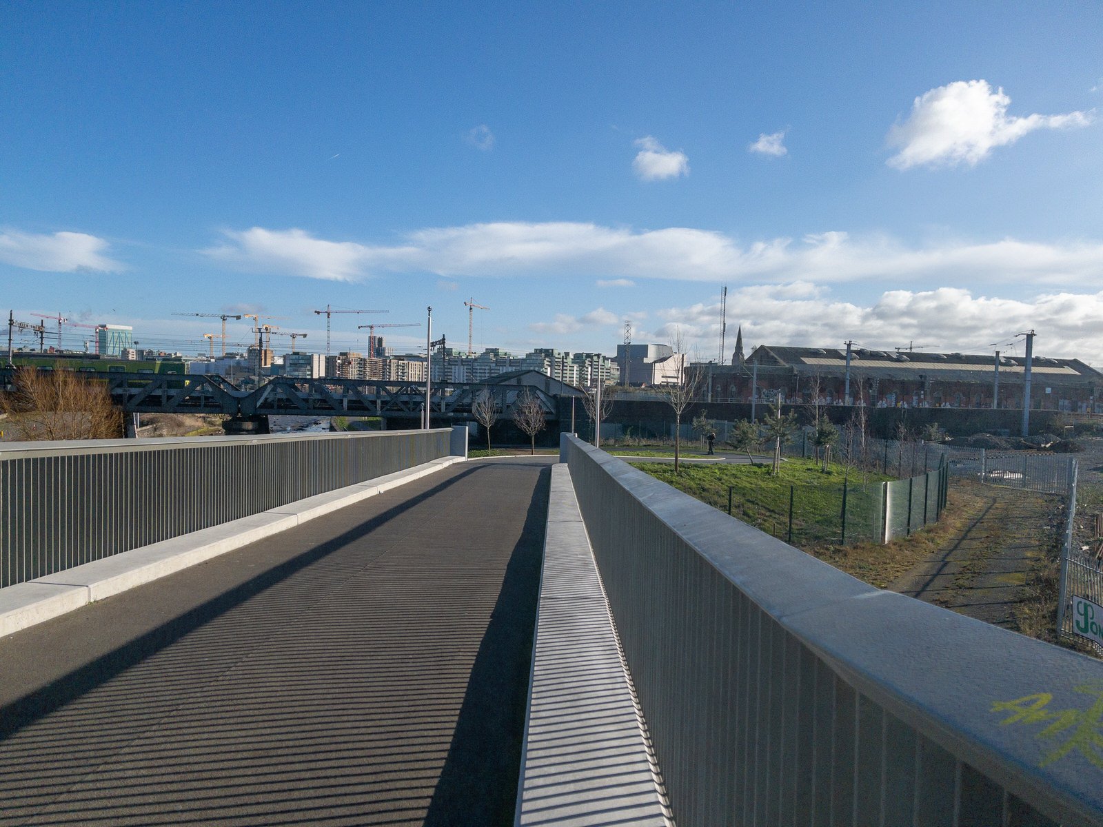
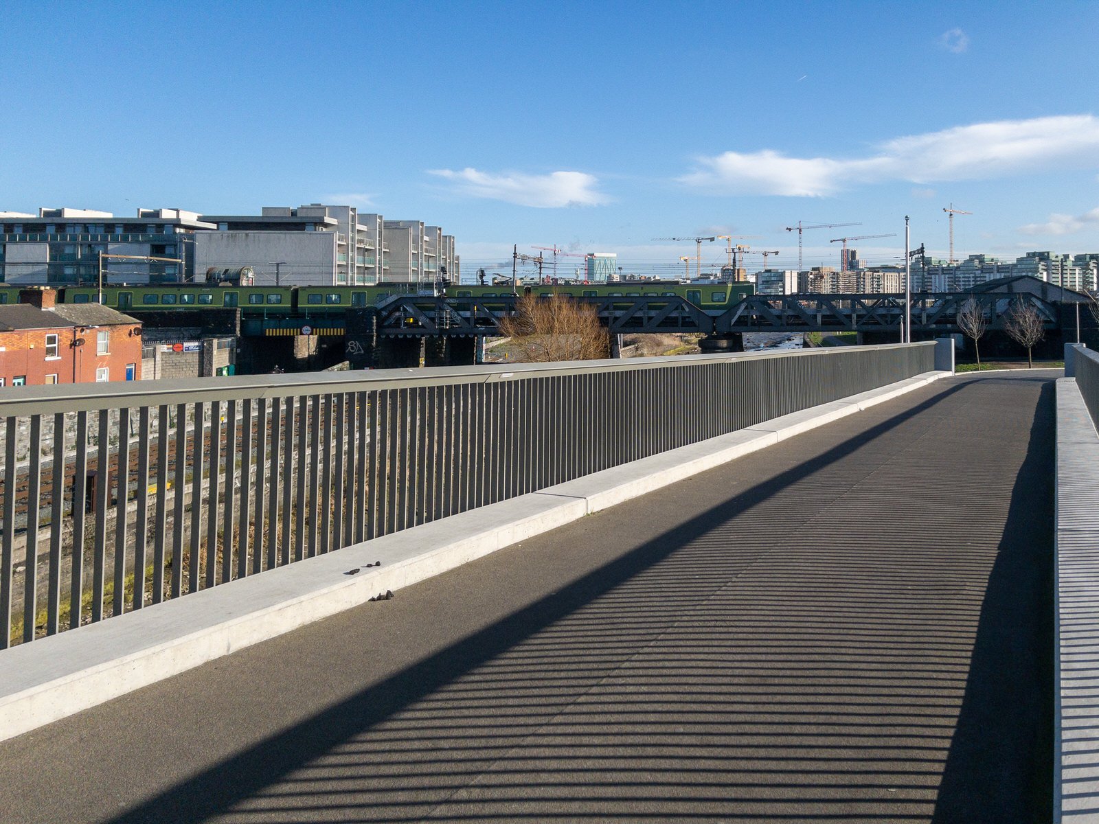
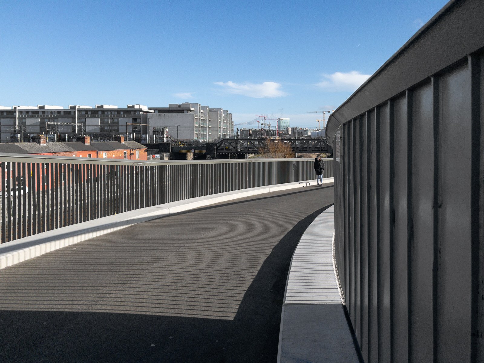
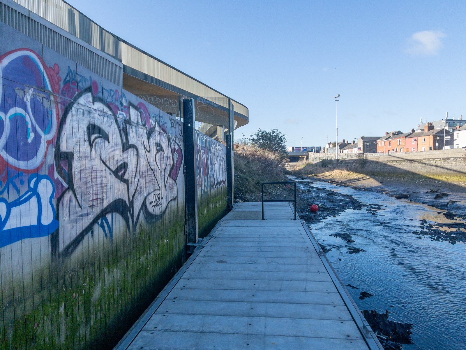
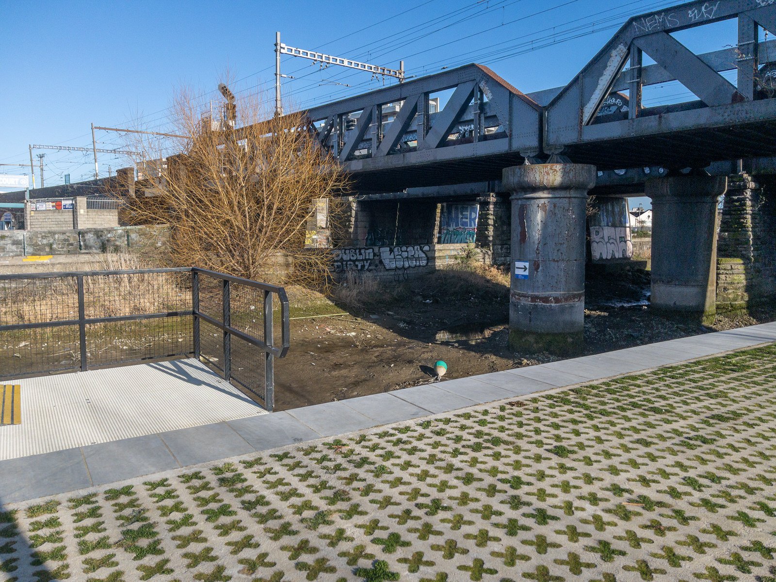
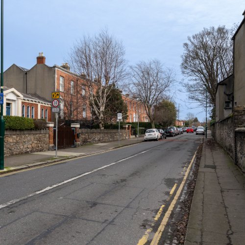
The weather caught me by surprise today as it was a beautiful sunny day so I took the opportunity to visit the East Wall area of the Docklands.
Dublin City Council’s Royal Canal cycle route is a new 7km pathway and linear park(s) running from the North Quays to Ashtown. To the best of my knowledge the first 500m section was completed about twelve years ago.
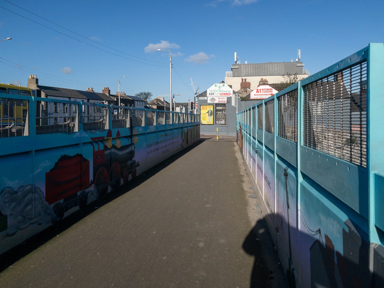
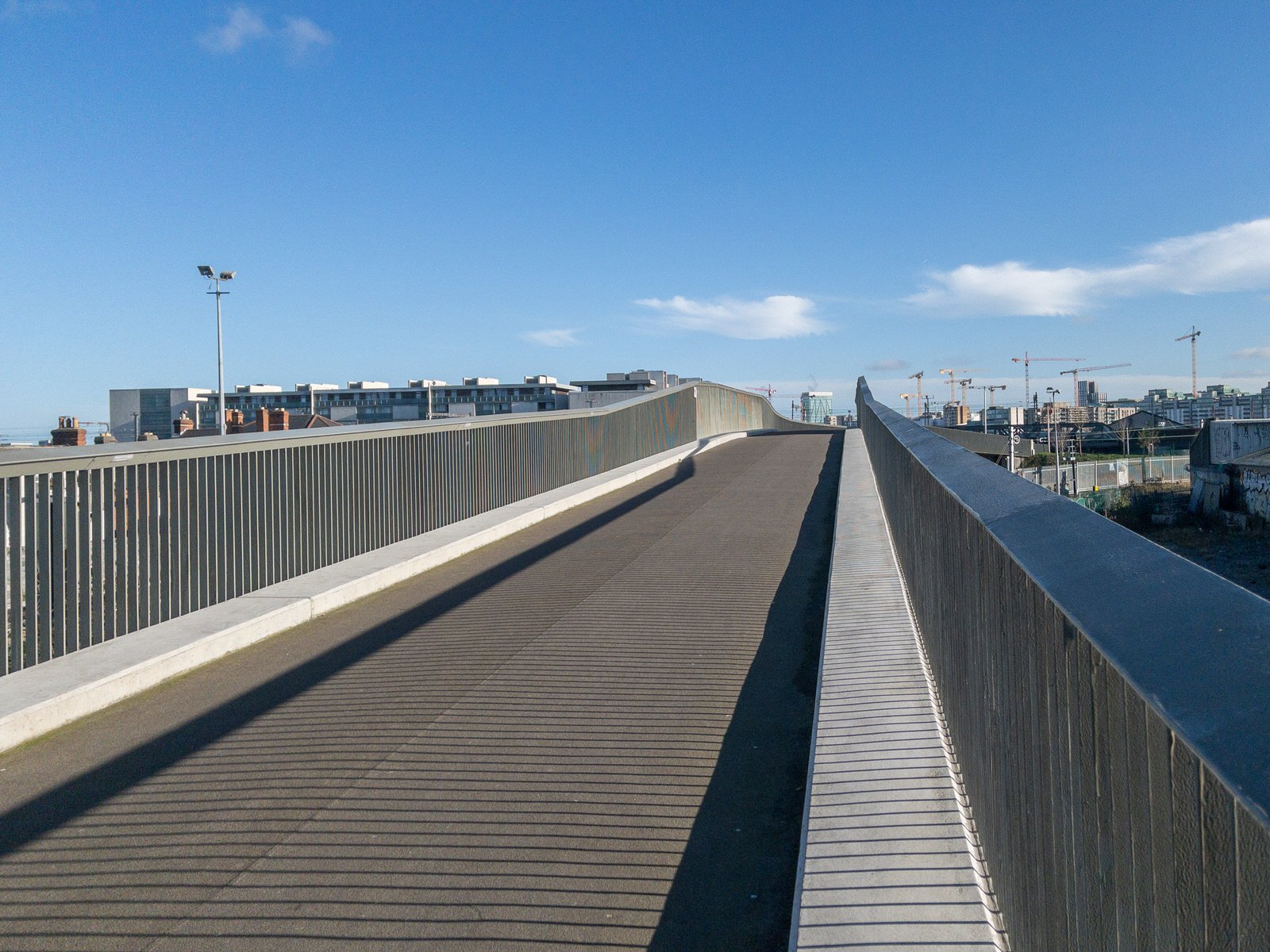
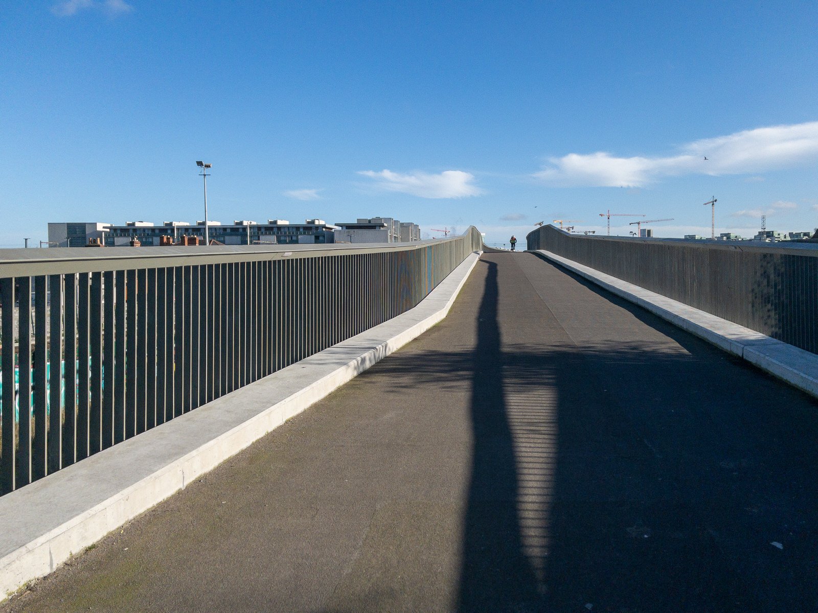
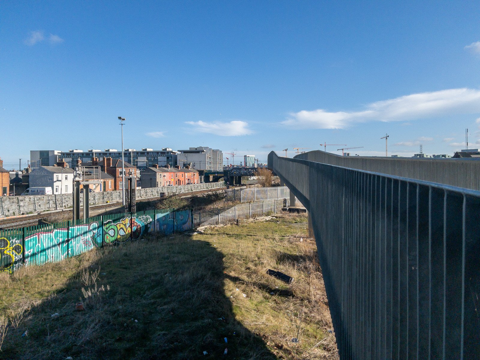
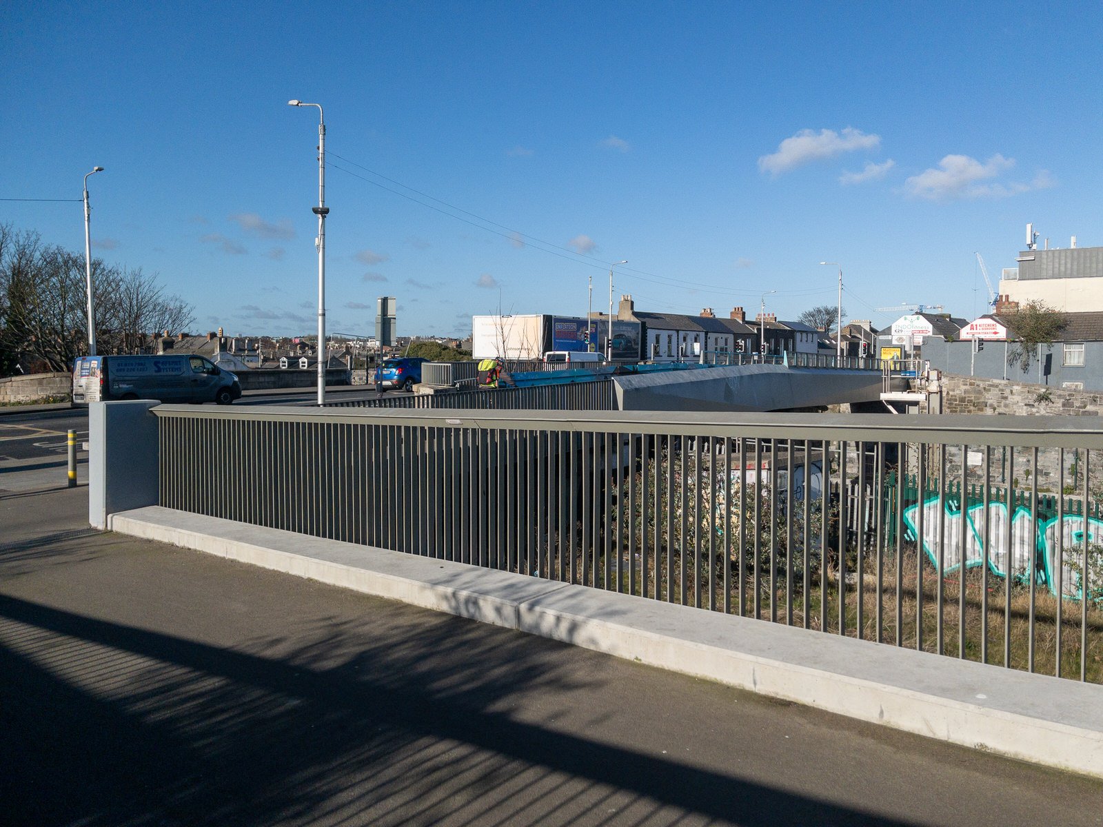
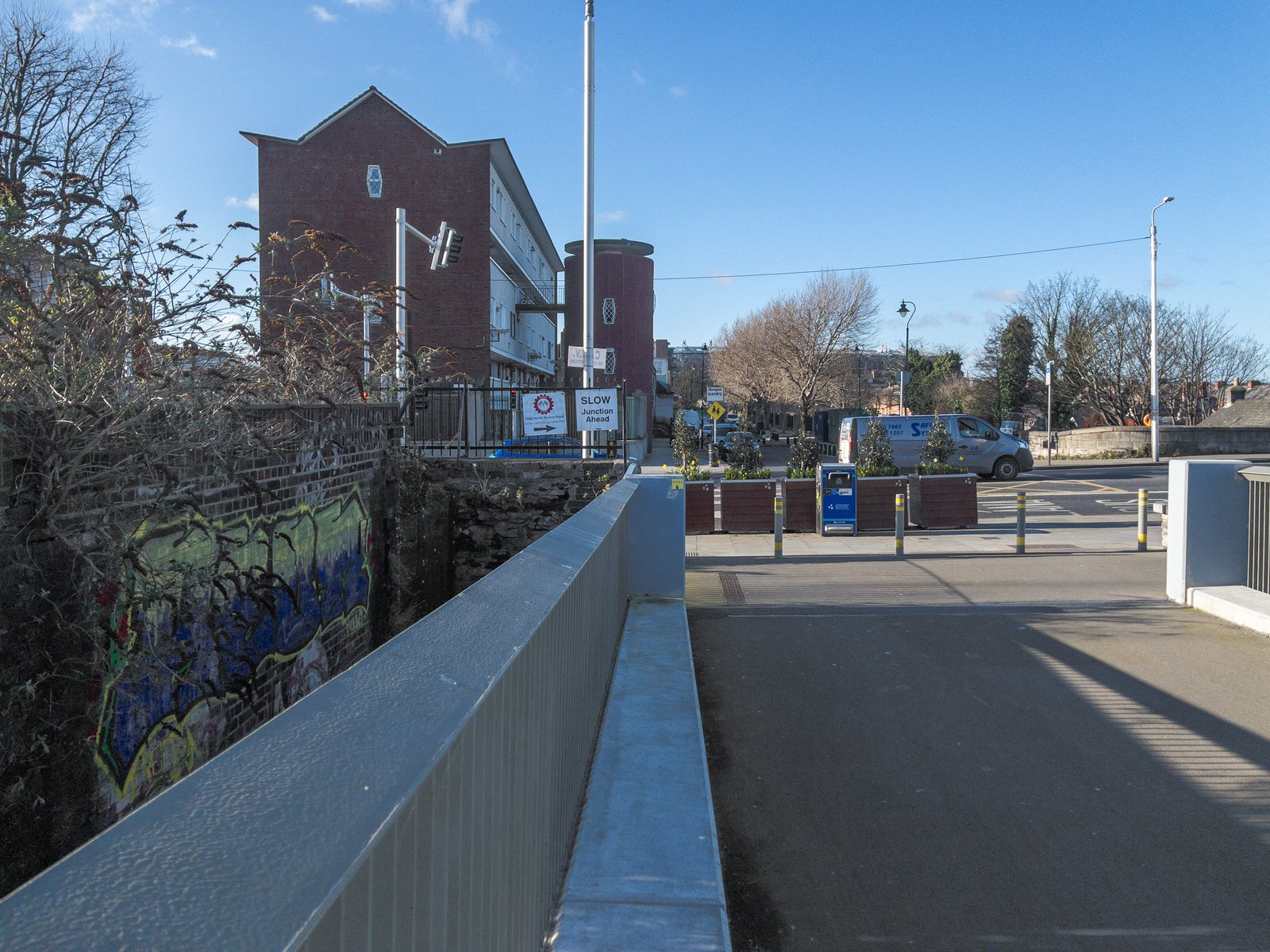
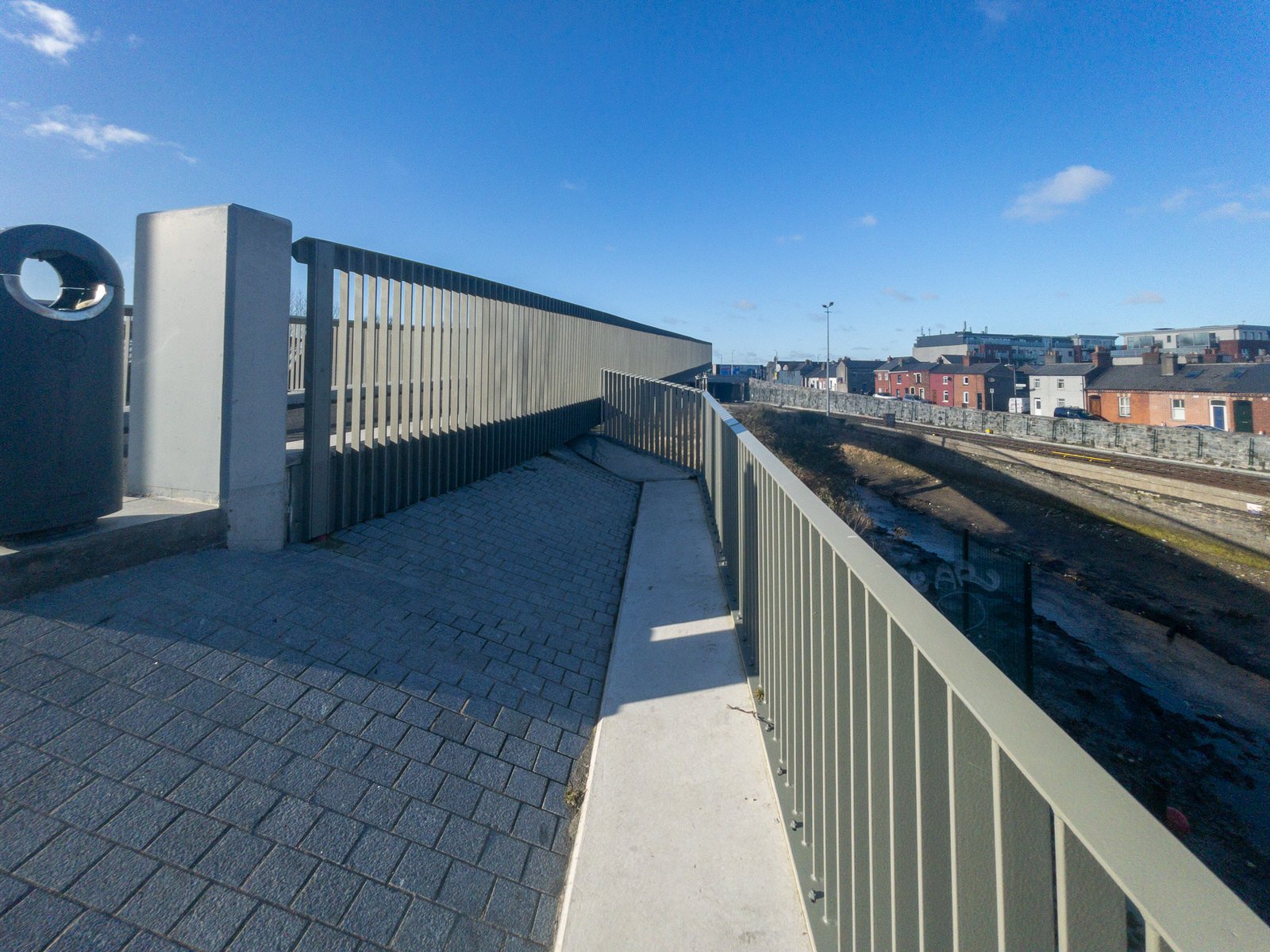
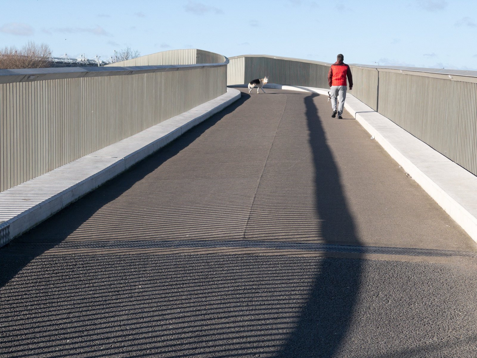
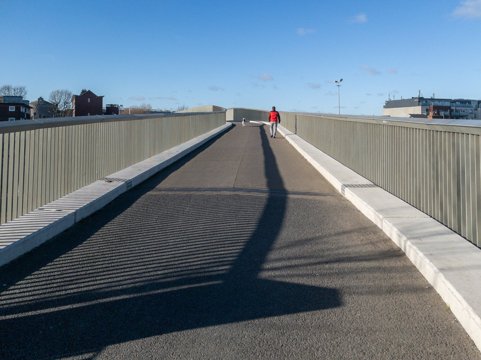
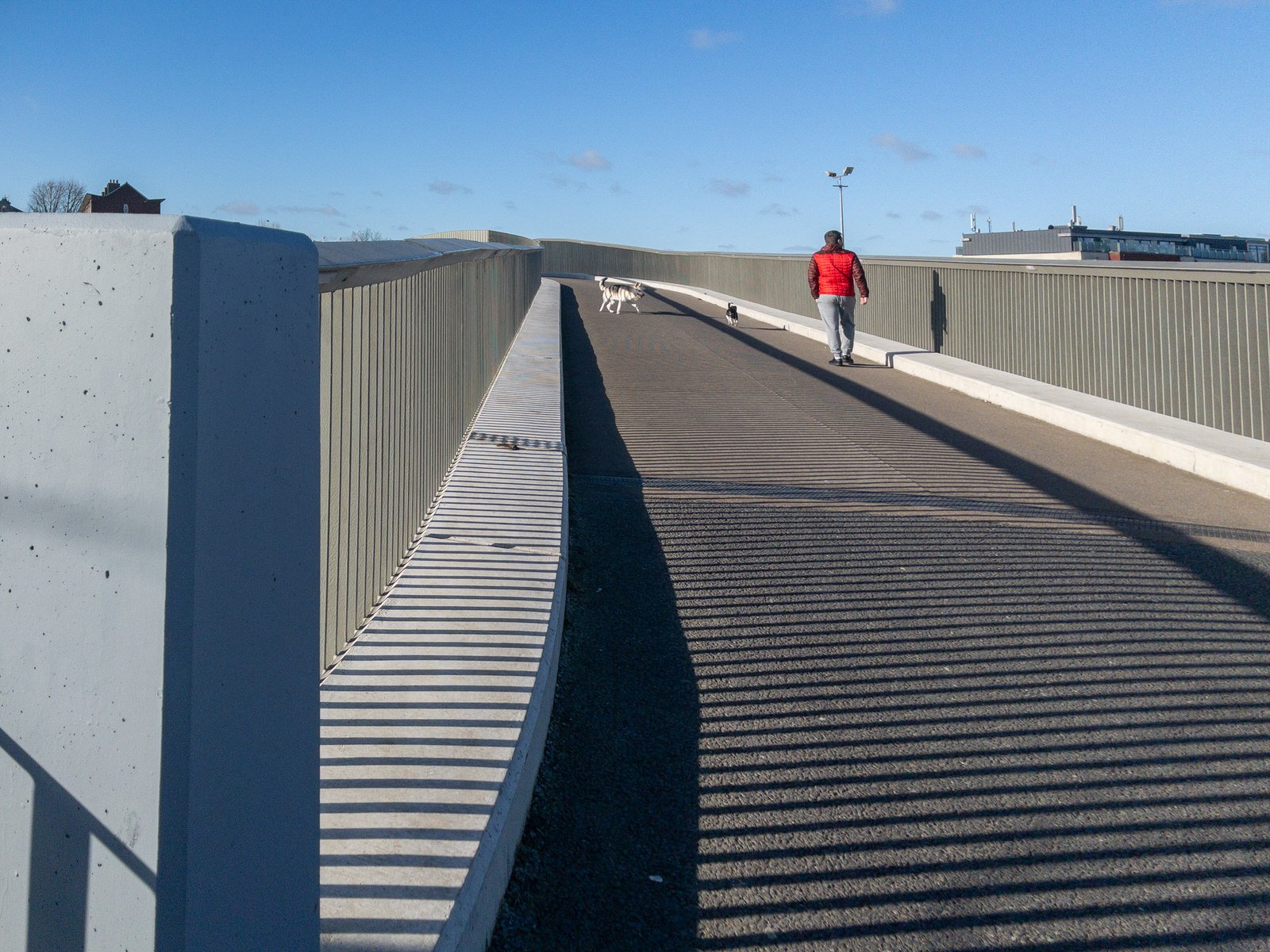
The second section from Sheriff Street to Newcomen Bridge was completed in July 2020. This section consists of a segregated three-metre wide cycle track and two-metre wide footpath on a viaduct bridge alongside a new linear park.
The third section will run from the North Strand to Cross Guns Bridge in Phibsborough. The final section, from Phibsborough to Longford Bridge in Ashtown, has been divided into four phases the first of which was due to be completed by the end of 2020.
The Royal Canal Way is a 144-kilometre (89-mile) long-distance trail that follows the towpath of the canal from Ashtown, Dublin to Cloondara, County Longford. It is typically completed in three days. It is designated as a National Waymarked Trail by the National Trails Office of the Irish Sports Council and is managed by Waterways Ireland. In 2015, Dublin City Council began extending the walking and cycling route along the Royal Canal from Ashtown to Sheriff Street Upper. The Royal Canal Way connects with the Westmeath Way west of Mullingar, and will eventually form the eastern end of the Dublin-Galway Greenway, the final part of EuroVelo Route 2, a cycling path from Moscow across Europe to Galway.
The Royal Canal Greenway is the greenway encompassing the Royal Canal Way between Maynooth and Cloondara, with a branch to Longford. It was launched in March 2021.
