RICE BRIDGE WATERFORD CITY
The Rice Bridge is the city-centre bridge in Waterford, Ireland on the north side of the city. It was constructed in stages between 1982 and 1986, with an official opening of the first two lanes in 1984. It is named after Edmund Ignatius Rice (and occasionally also called the Edmund Rice Bridge or Brother Edmund Ignatius Rice Bridge). The Rice Bridge was constructed after the previous bridge was deemed unsafe.
Rising on the slopes of Devil's Bit Mountain, just north of Templemore in County Tipperary, the River Suir flows south through Loughmore, Thurles, Holycross, Golden and Knockgraffon. Merging with the River Aherlow at Kilmoyler and further on with the Tar, it turns east at the Comeragh Mountains, forming the border between County Waterford and County Tipperary. It then passes through Cahir, Clonmel and Carrick-on-Suir before reaching Waterford. Near the Port of Waterford it meets the River Barrow at Cheekpoint to form a wide navigable estuary, capable of accommodating seagoing vessels up to 32,000 tons dwt. It exits to the sea between Dunmore East and Hook Head.
Rising on the slopes of Devil's Bit Mountain, just north of Templemore in County Tipperary, the River Suir flows south through Loughmore, Thurles, Holycross, Golden and Knockgraffon. Merging with the River Aherlow at Kilmoyler and further on with the Tar, it turns east at the Comeragh Mountains, forming the border between County Waterford and County Tipperary. It then passes through Cahir, Clonmel and Carrick-on-Suir before reaching Waterford. Near the Port of Waterford it meets the River Barrow at Cheekpoint to form a wide navigable estuary, capable of accommodating seagoing vessels up to 32,000 tons dwt. It exits to the sea between Dunmore East and Hook Head.
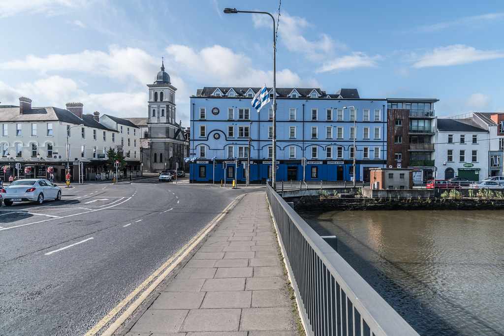
THE RICE BRIDGE IN WATERFORD 001
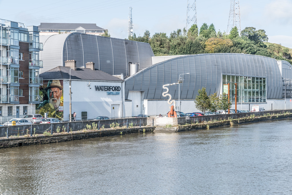
THE RICE BRIDGE IN WATERFORD 002
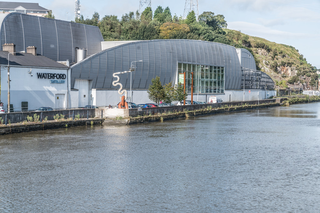
THE RICE BRIDGE IN WATERFORD 003
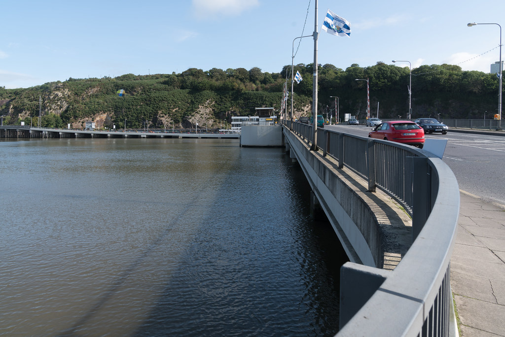
THE RICE BRIDGE IN WATERFORD 004
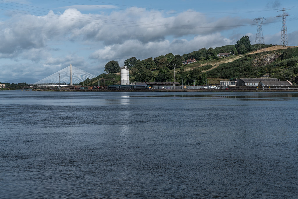
THE RICE BRIDGE IN WATERFORD 005
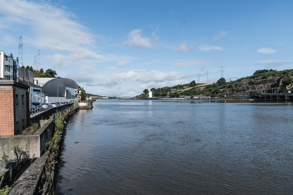
THE RICE BRIDGE IN WATERFORD 006
You will find links to buy products from Amazon, Google and other partners. If you click on these links, you’ll find that the URL includes a small extra piece of text which identifies that the click came from my websites. This text is an affiliate code, and it means that I get a small percentage of the money you spend if you choose to buy that product, or, in some cases, other products from the site soon after. These affiliate links help pay the costs of producing my websites and ensure that the content is free to you.
