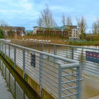
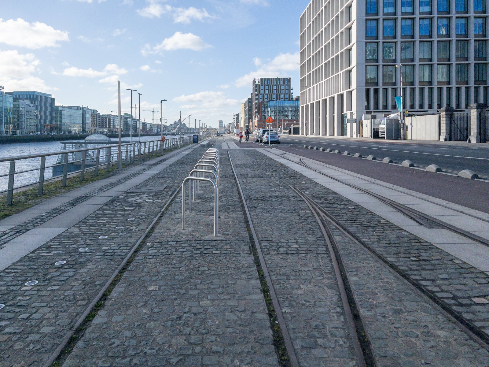
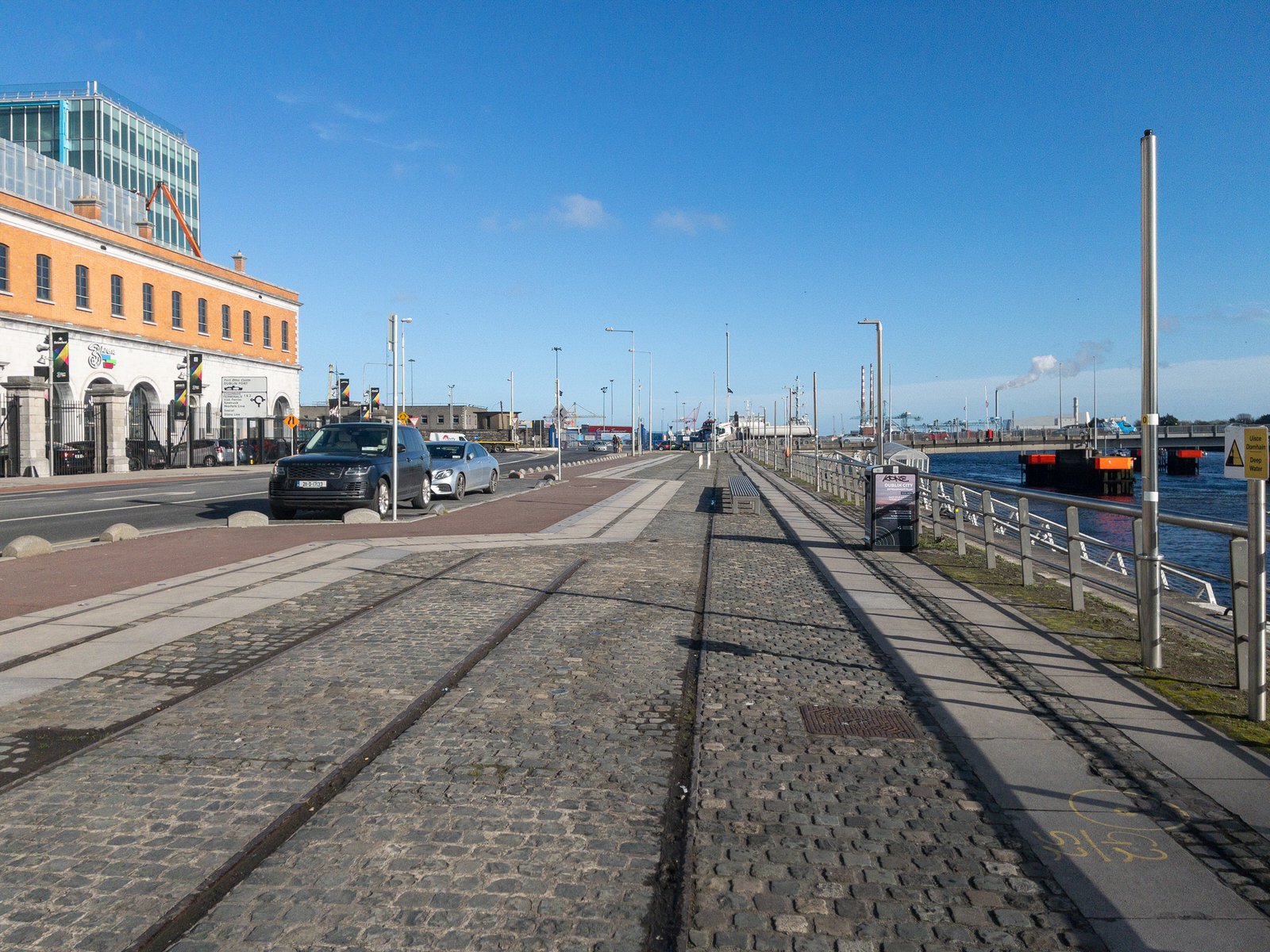
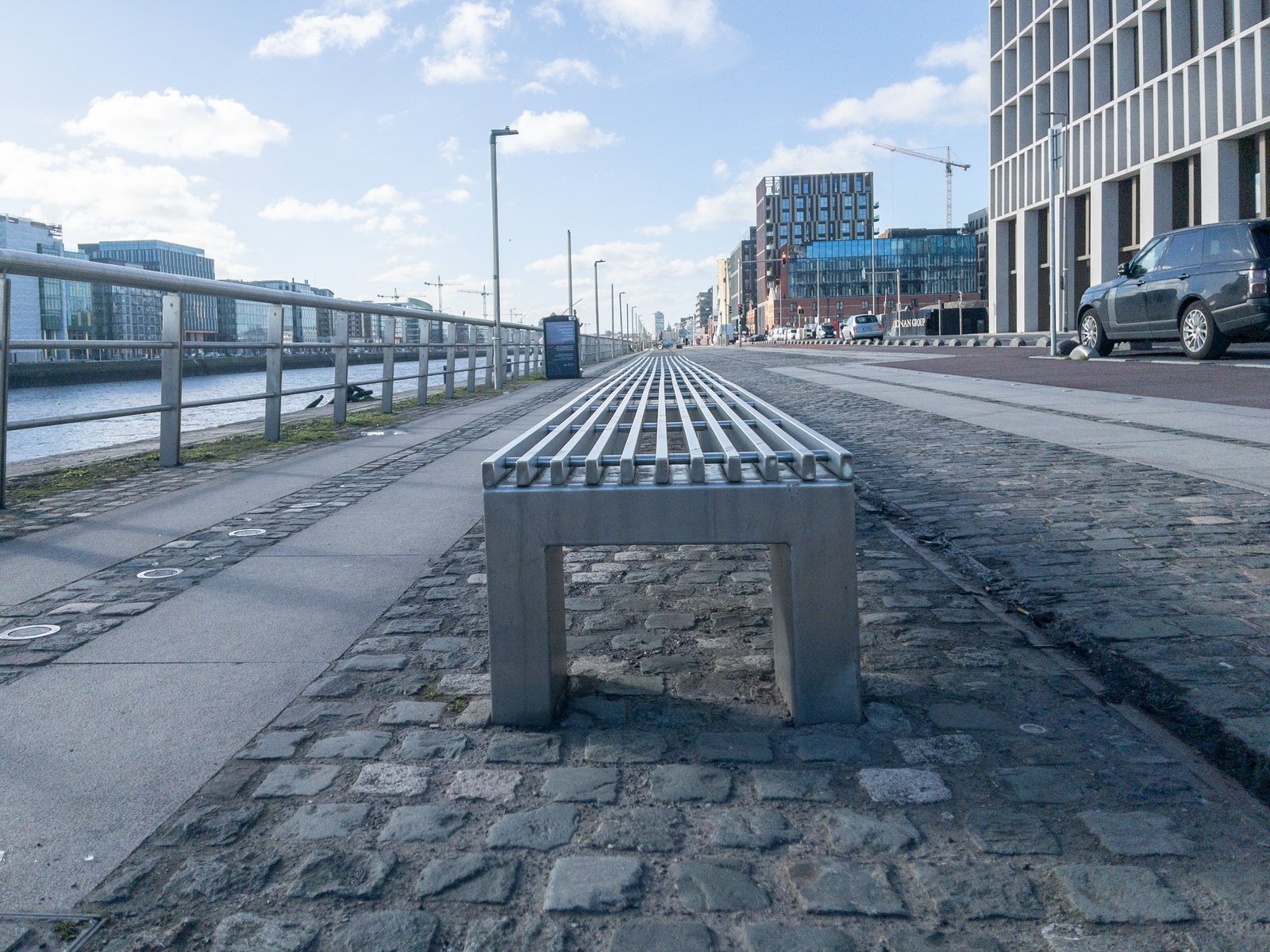
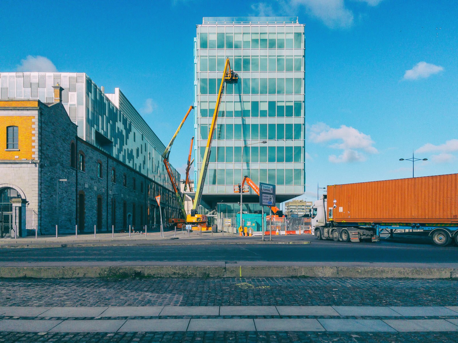
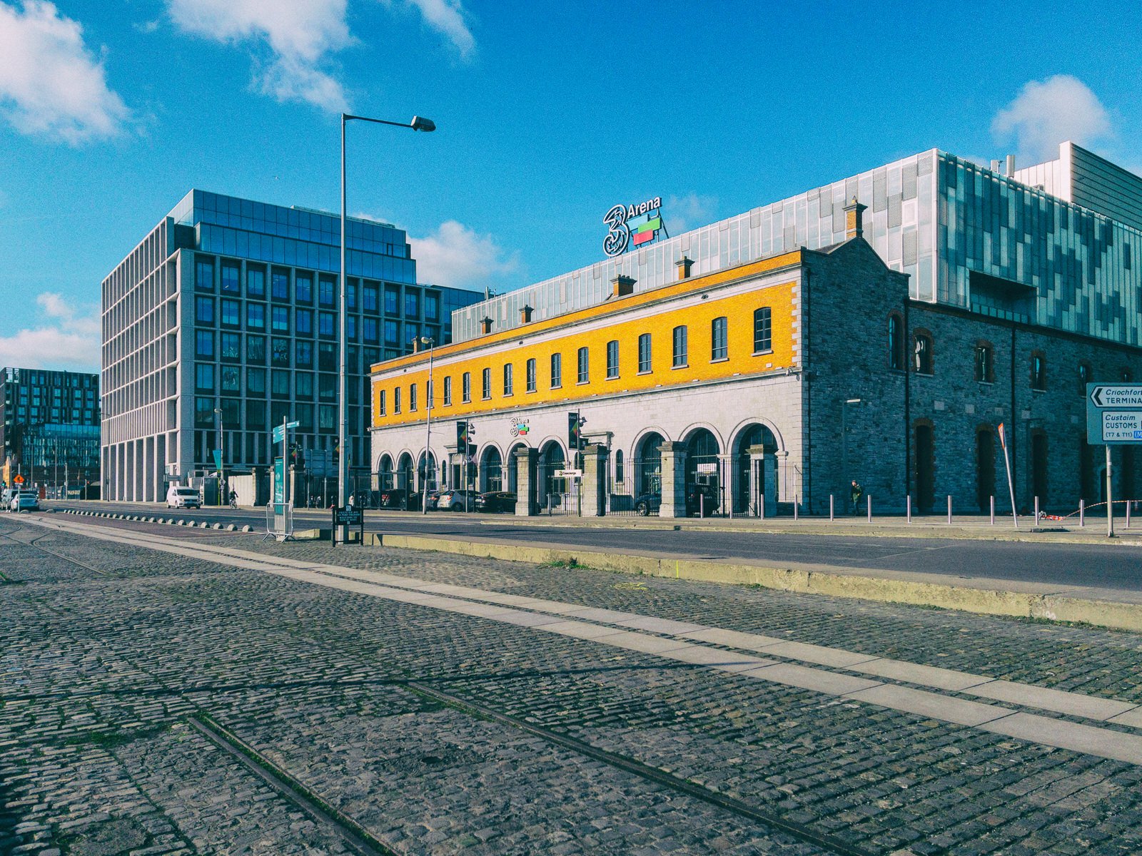
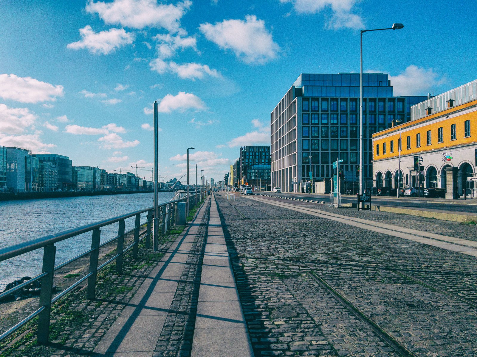
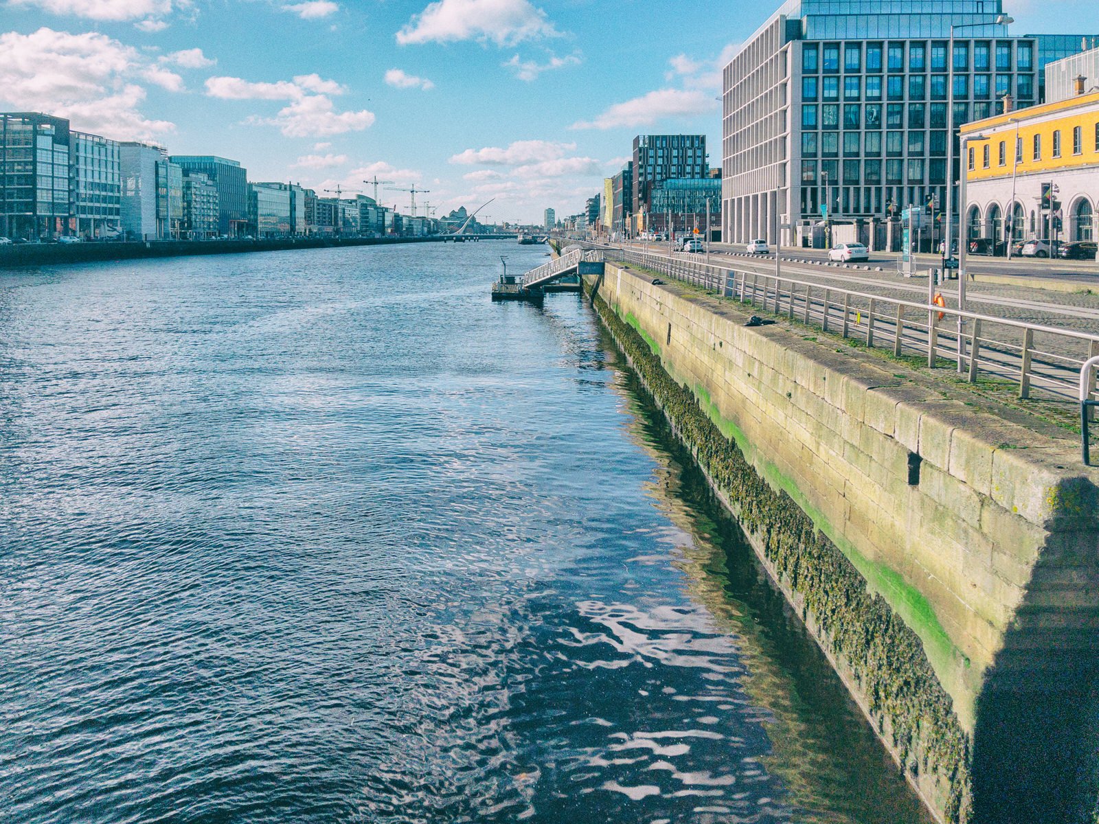
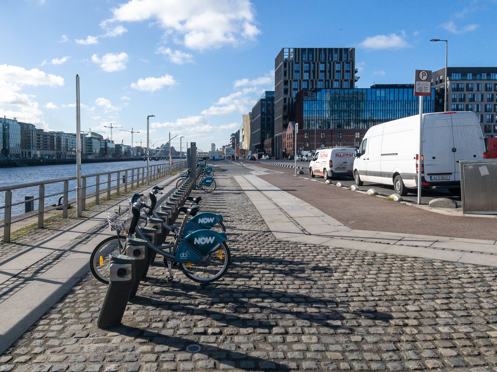
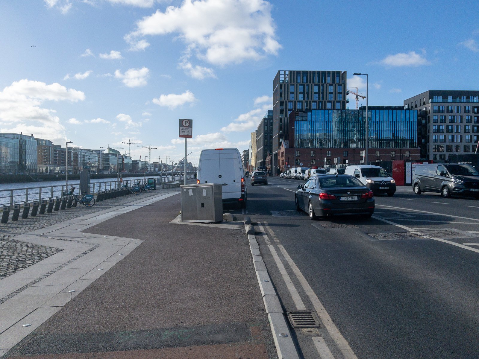
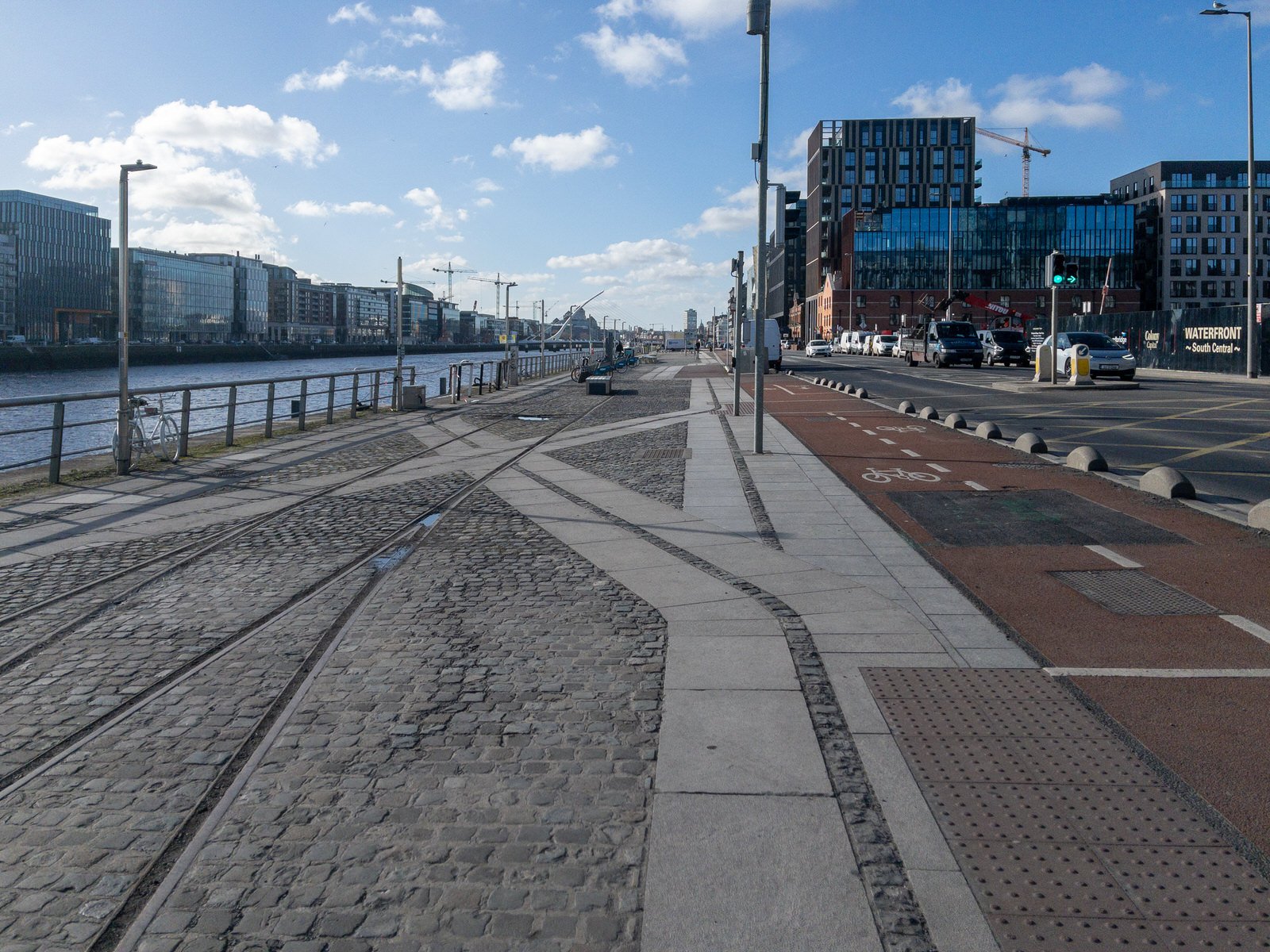
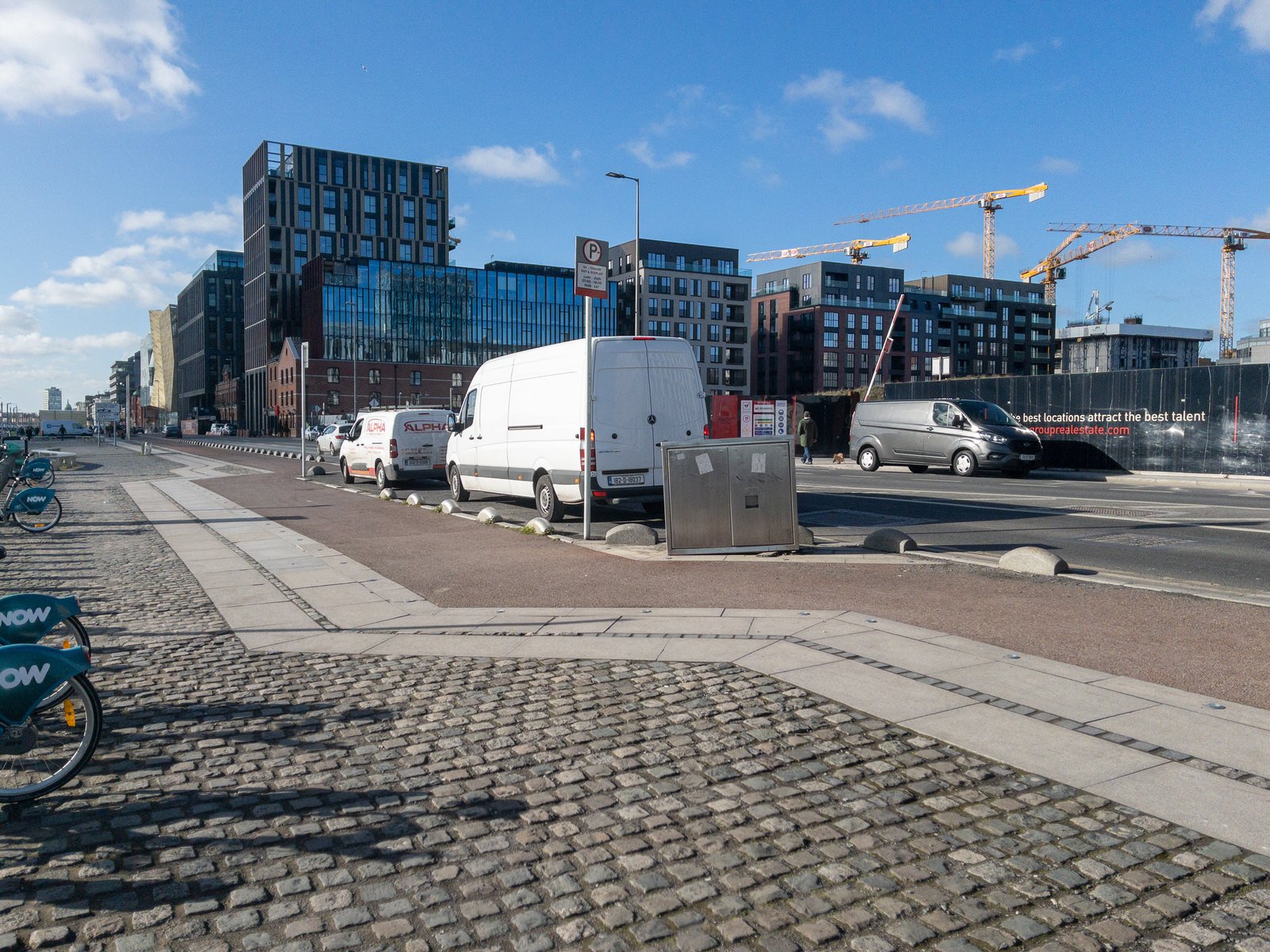
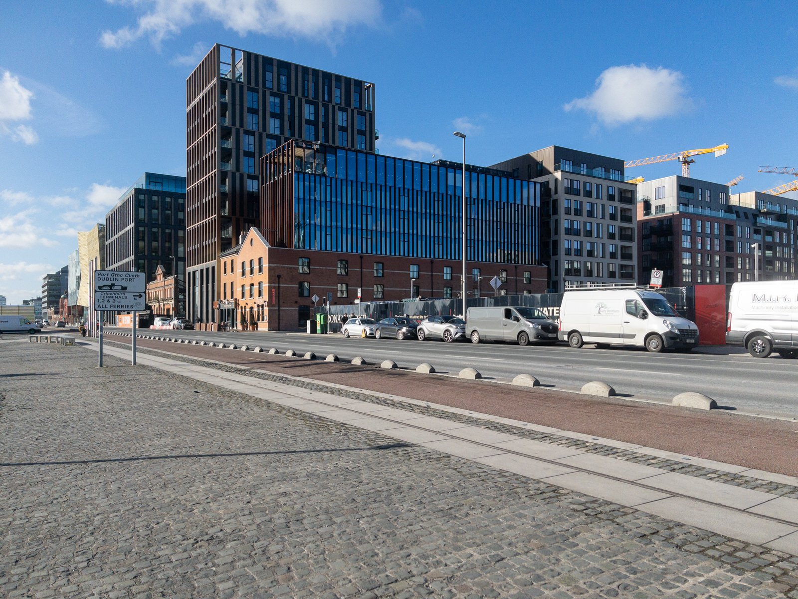
Situated next to Custom House Quay, North Wall Quay forms an important arterial link to other quays along the River Liffey. Of all the north quays, and despite widespread redevelopment, North Wall Quay retains the most obvious links with industry, being located closest to the functioning docks, and bearing remnants of nineteenth-century railway infrastructure. It also has the most open aspect of all the quays, being closer to the sea. The quays form an important part of maritime developments within the city stretching back to the thirteenth century. They are reminders of the economic and maritime development of Dublin as Ireland's principal port.
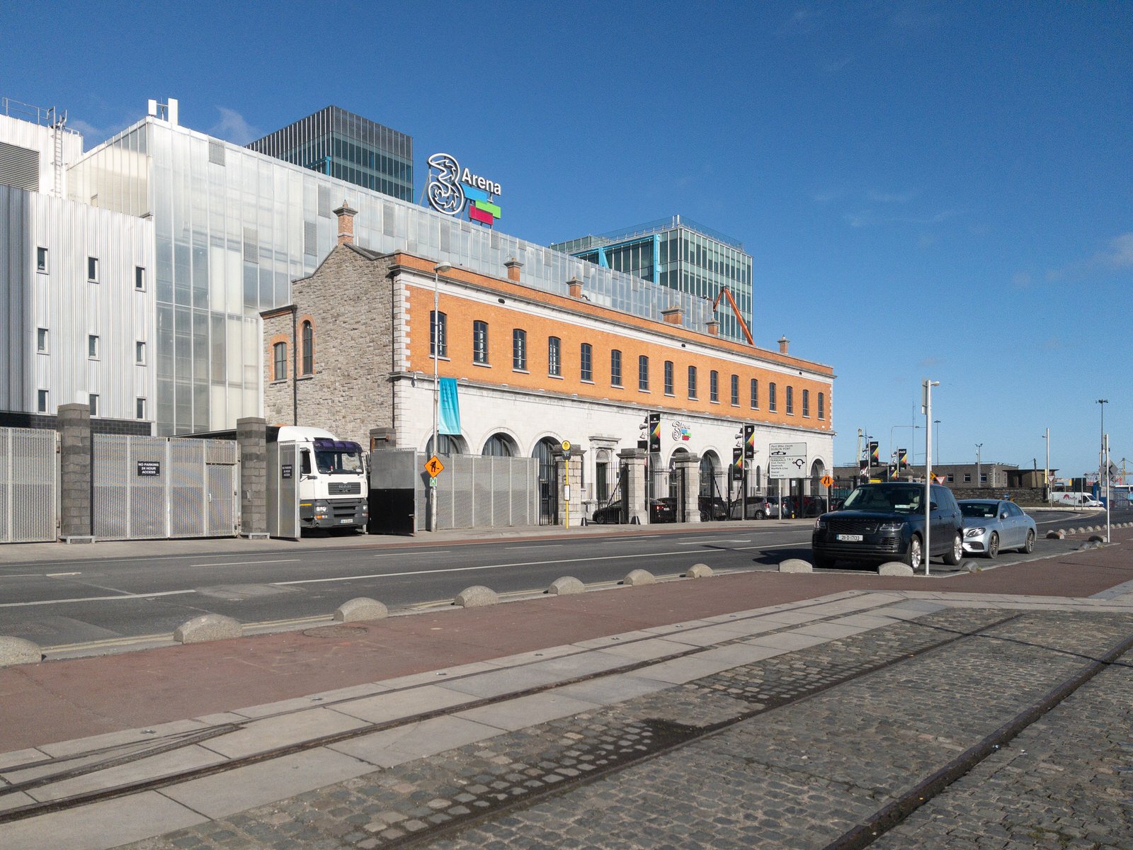
North Wall is an area east of the inner north side of Dublin, along the River Liffey. It contains the entire north side of Dublin Docklands and includes the International Financial Services Centre, Spencer Dock, and further east the main part of Dublin Port.
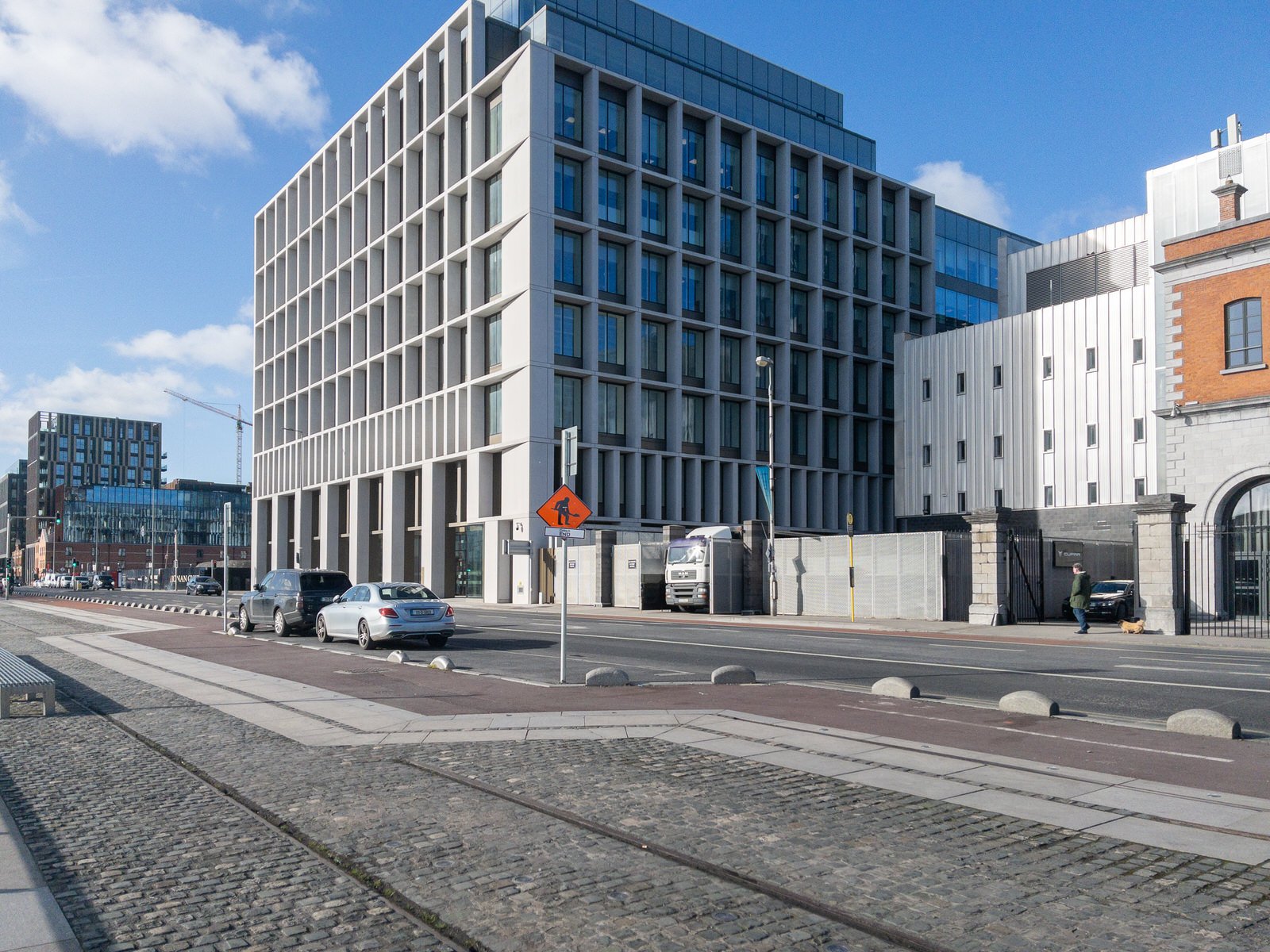
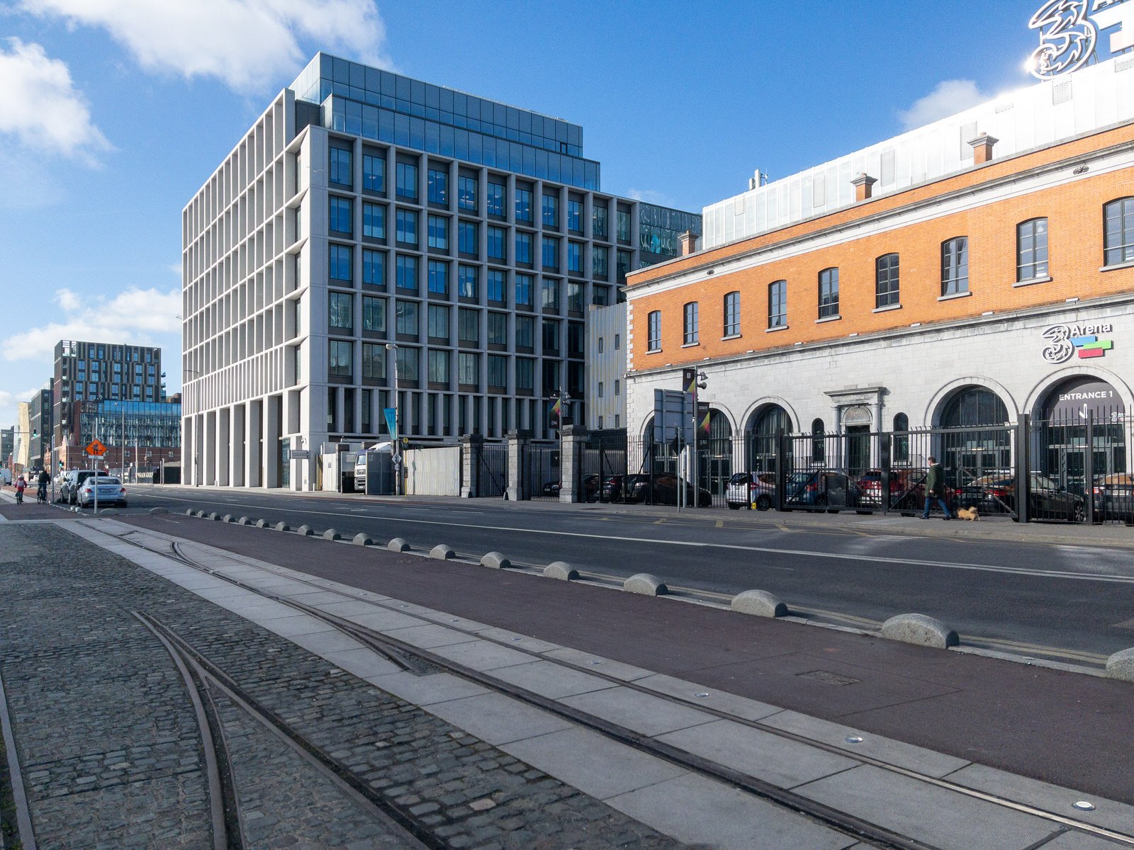
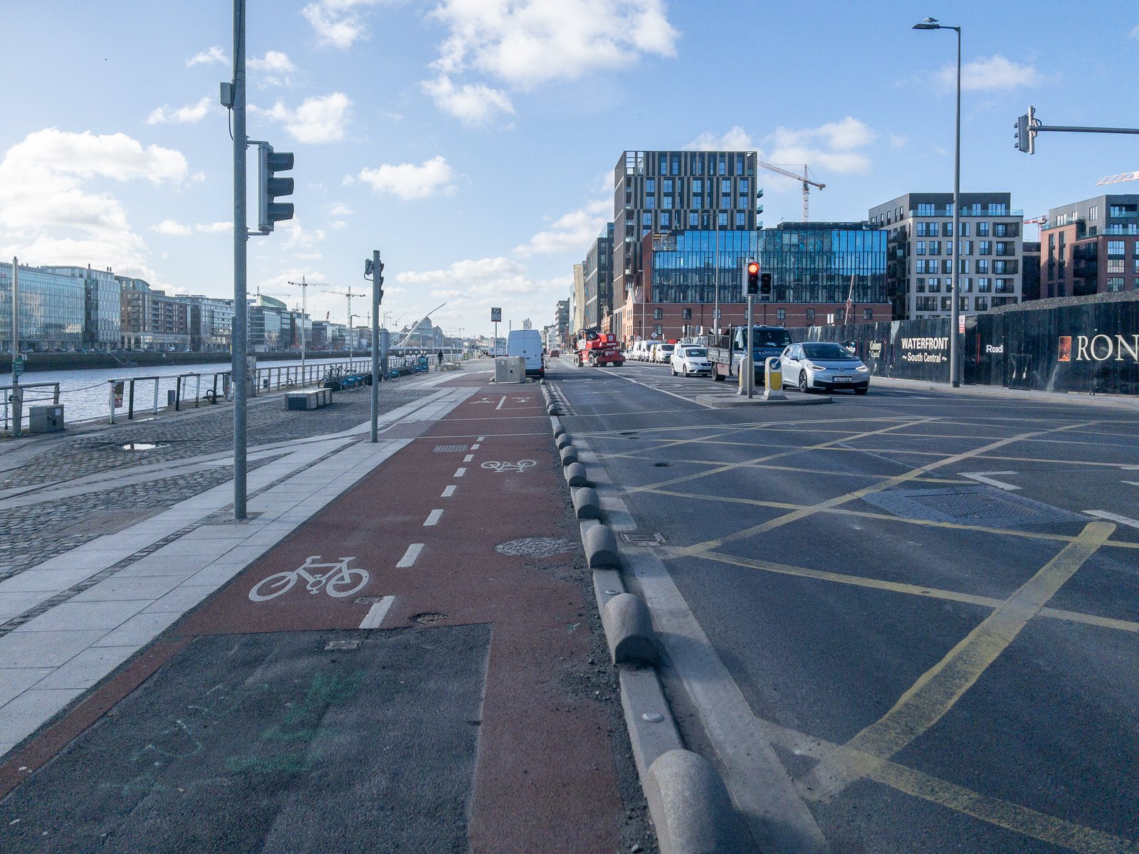
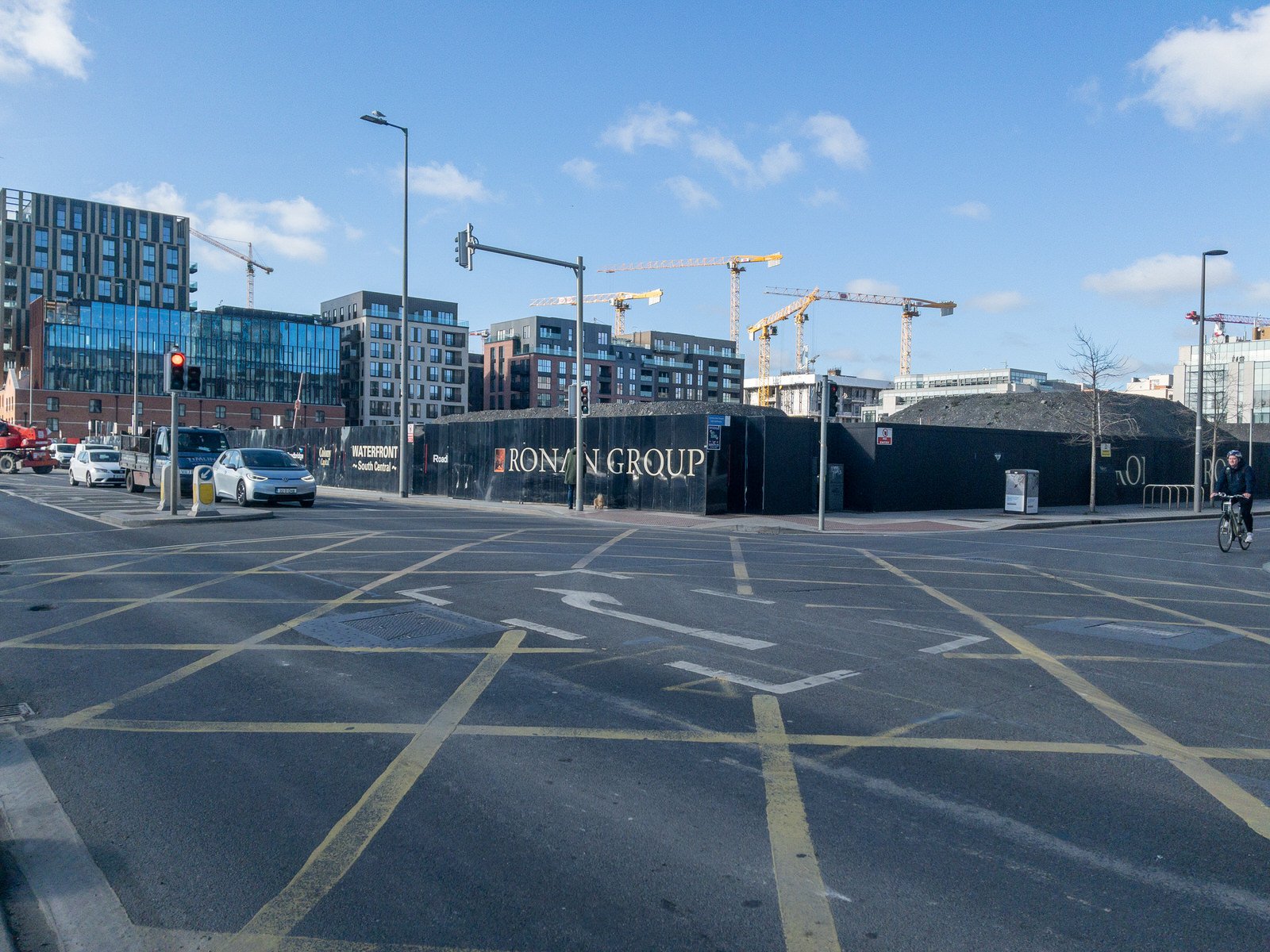
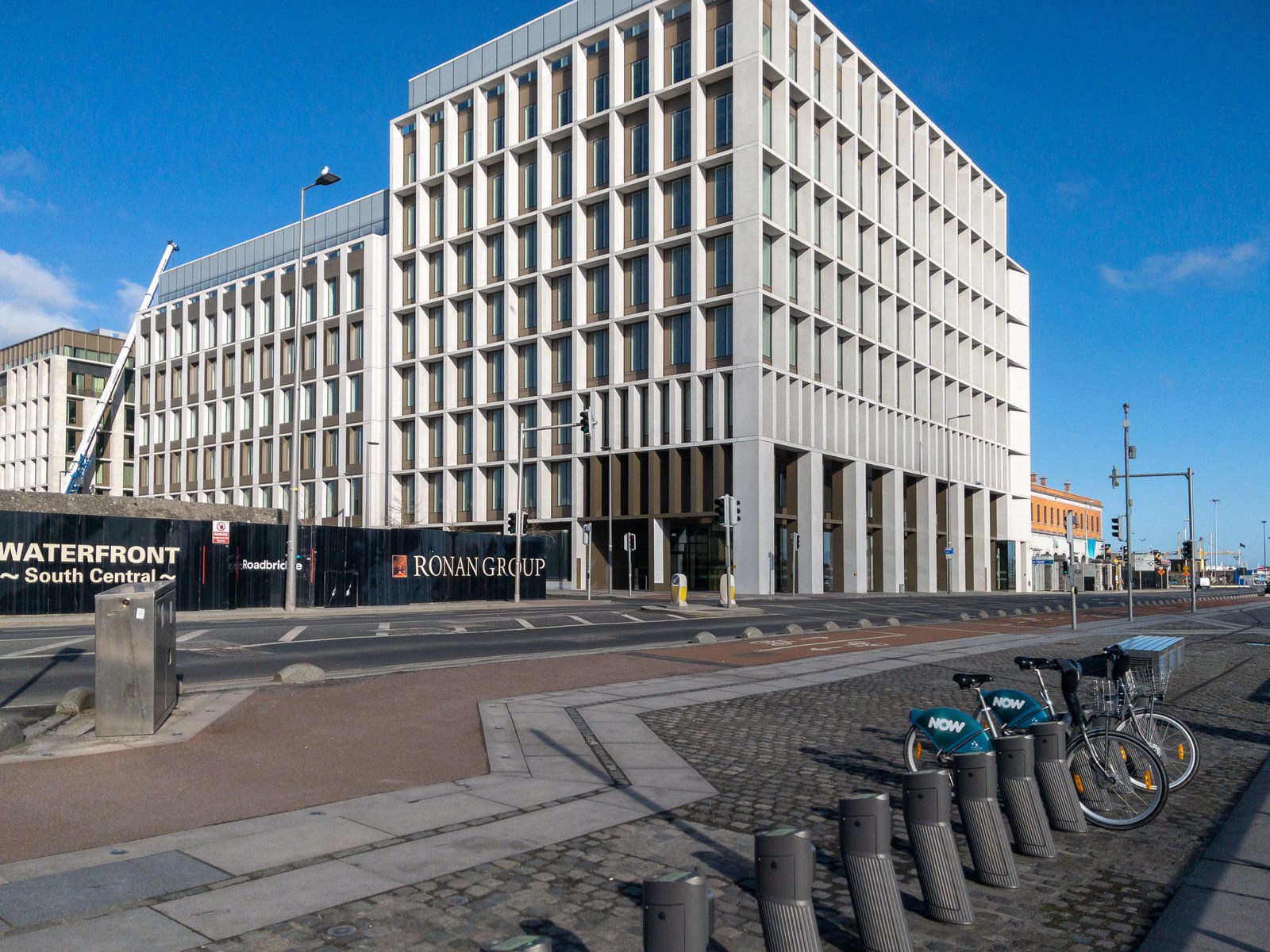
The area is dominated by a combination of older housing, dockland activities and new development through the Docklands Strategic Development Zone Planning Scheme, including extensive construction of new retail, residential and office spaces.
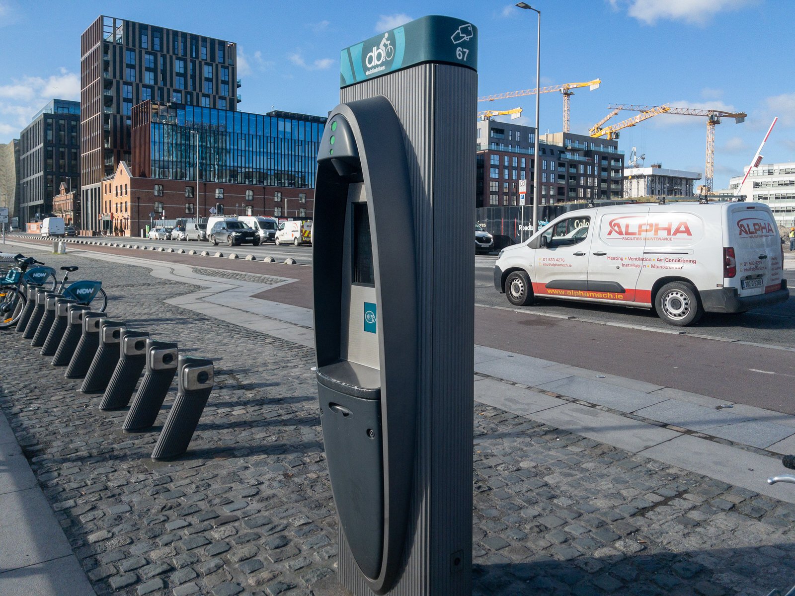
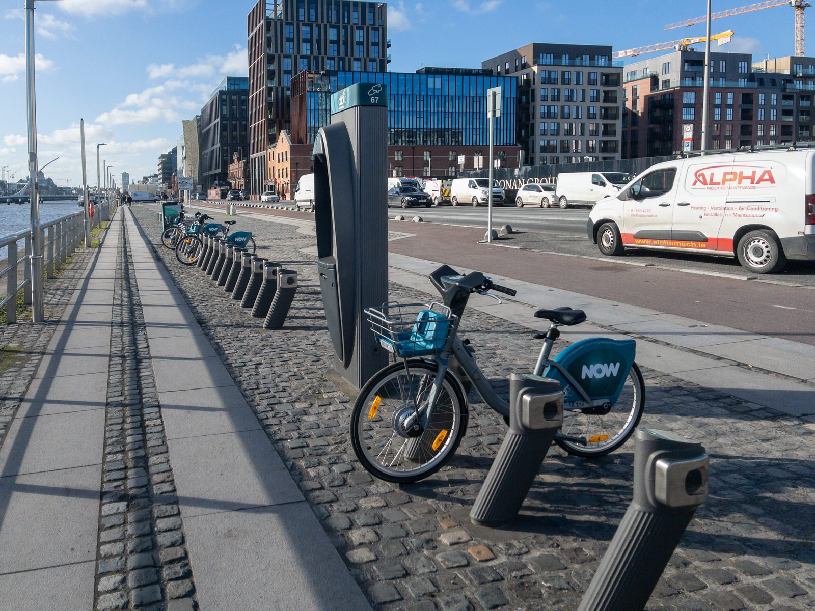
Transport in the area includes the Dublin Area Rapid Transit (Docklands railway station on Sheriff Street), the LUAS (red line stations George's Dock, Mayor Square, Spencer Dock, and The Point, and 8 dublinbikes stations (at Custom House Quay, City Quay, Excise Walk, Lime Street, Guild Street, Convention Centre, New Central Bank, and The Point).