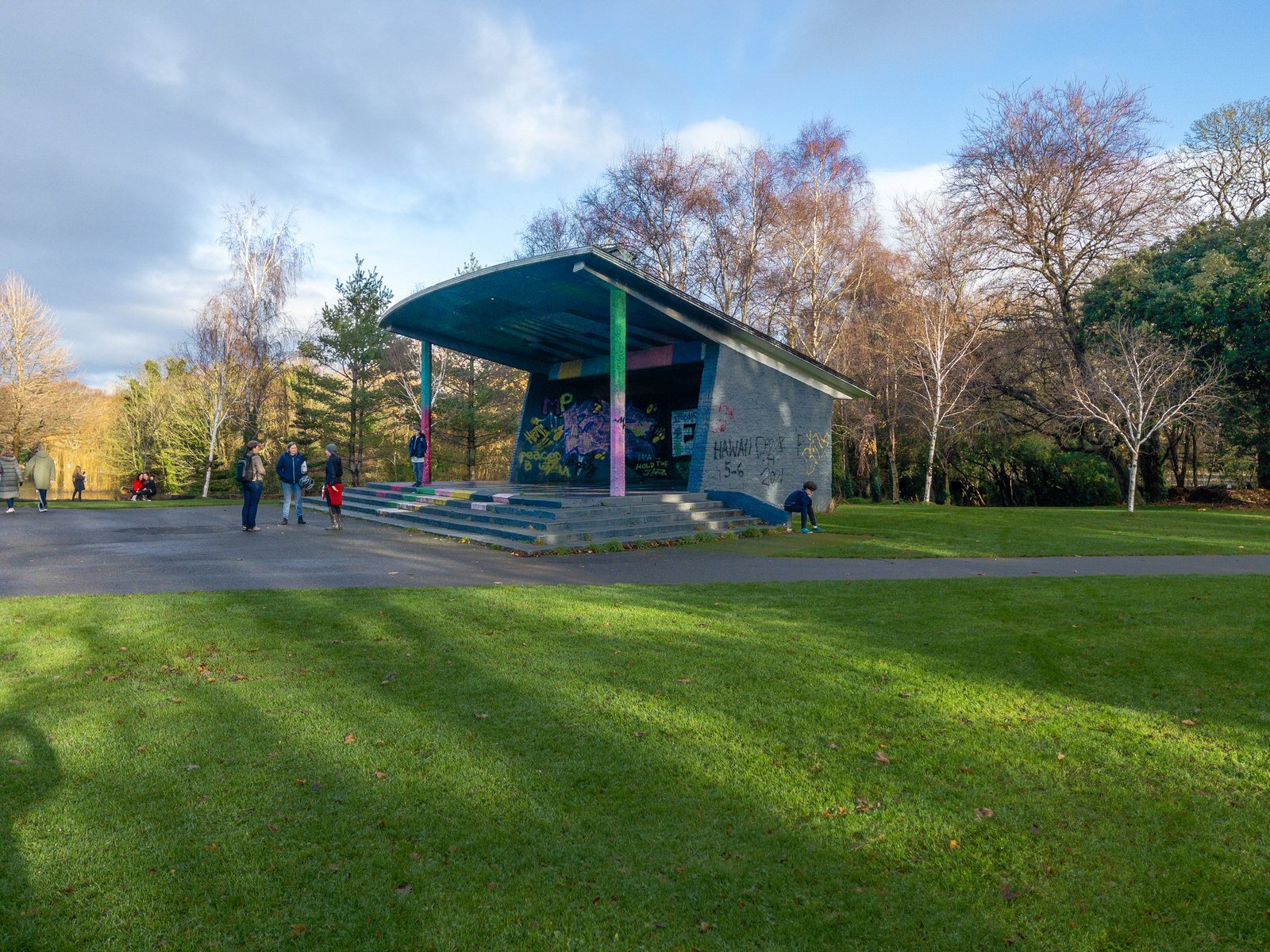
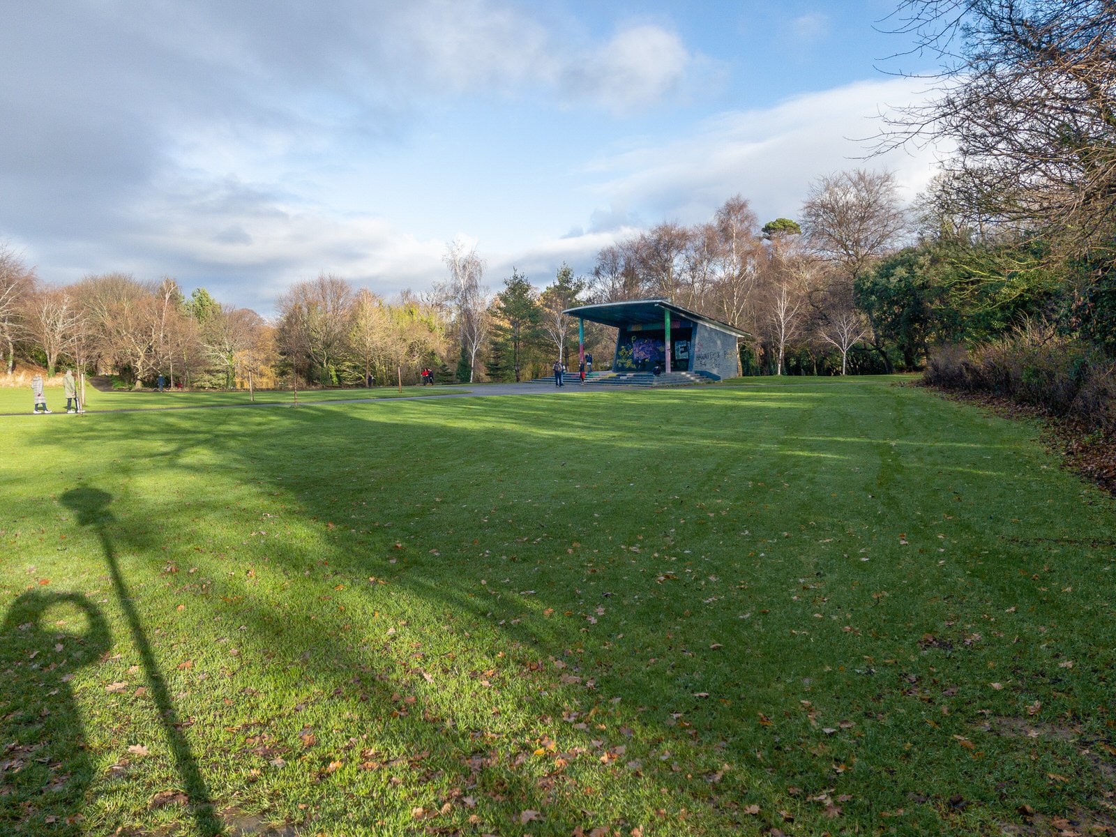
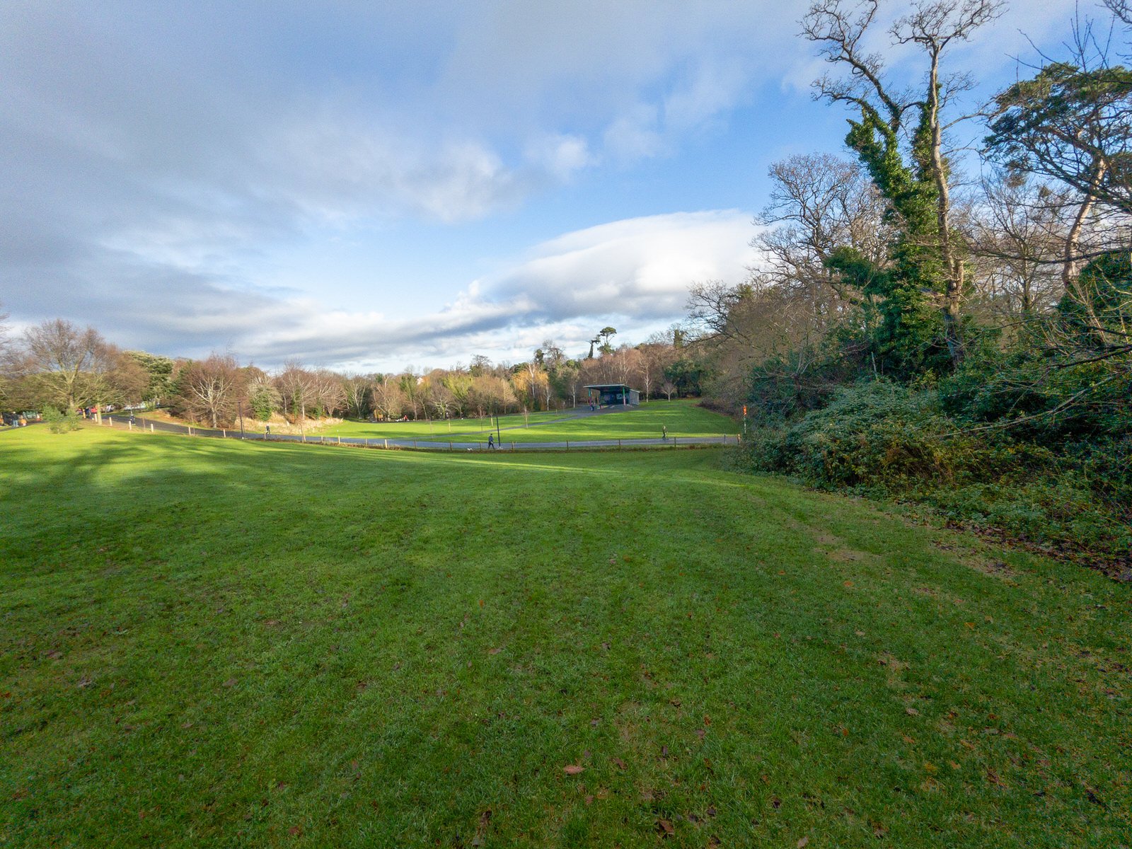
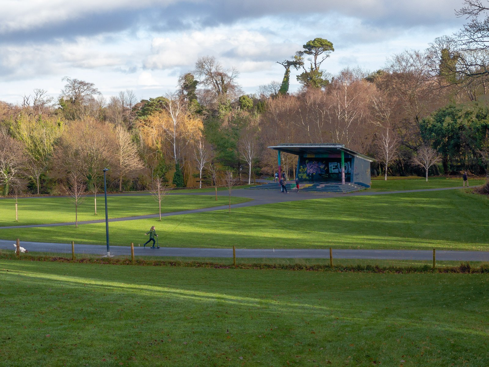
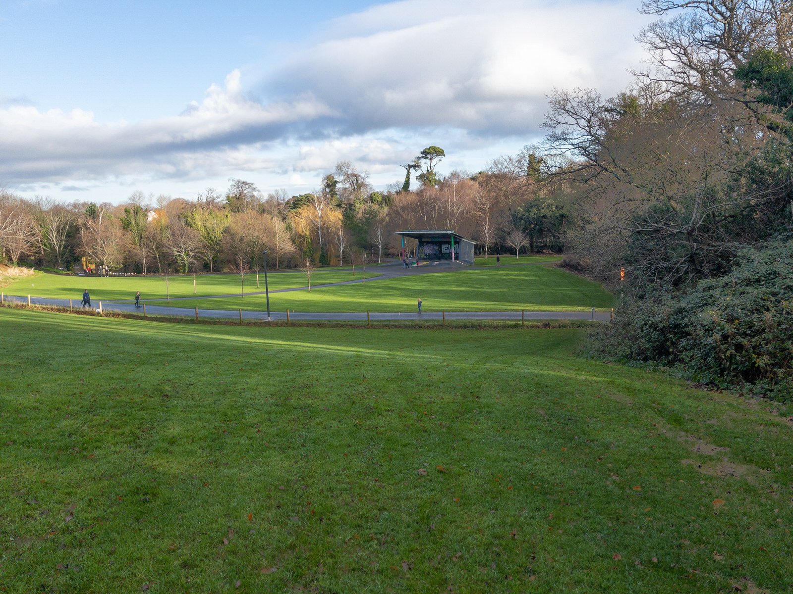
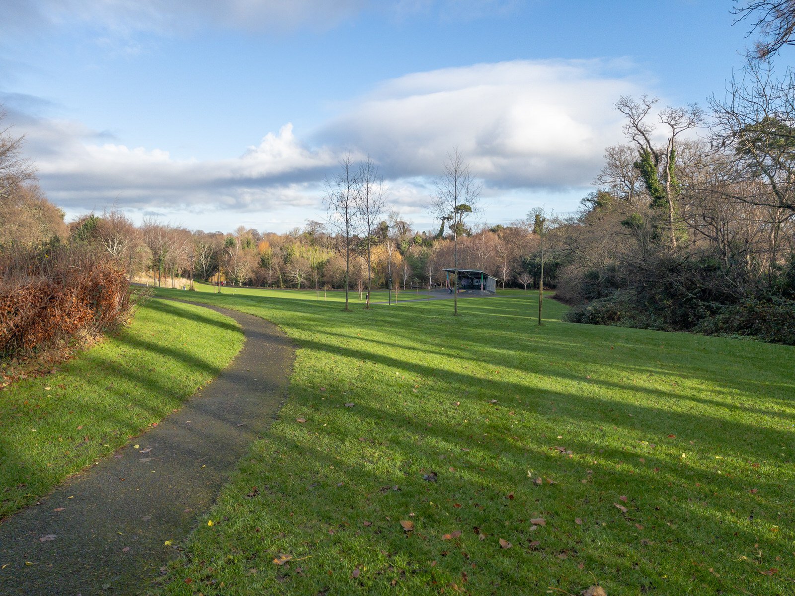
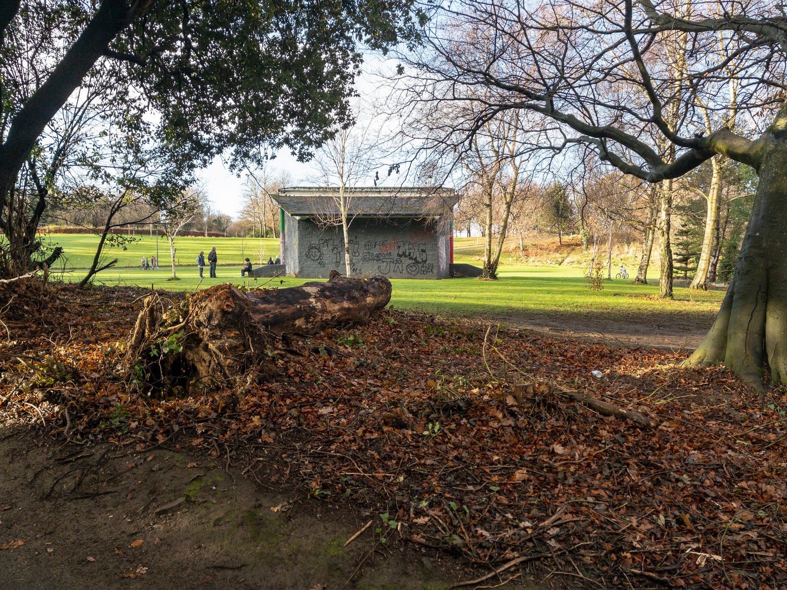
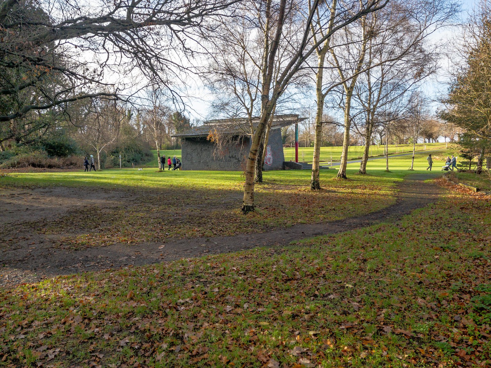
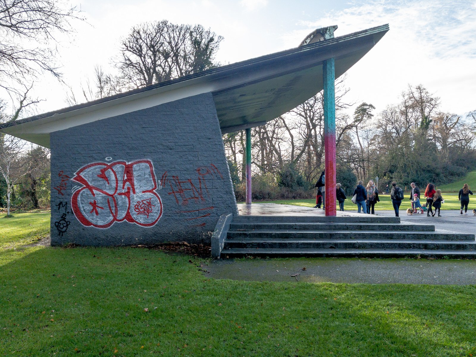
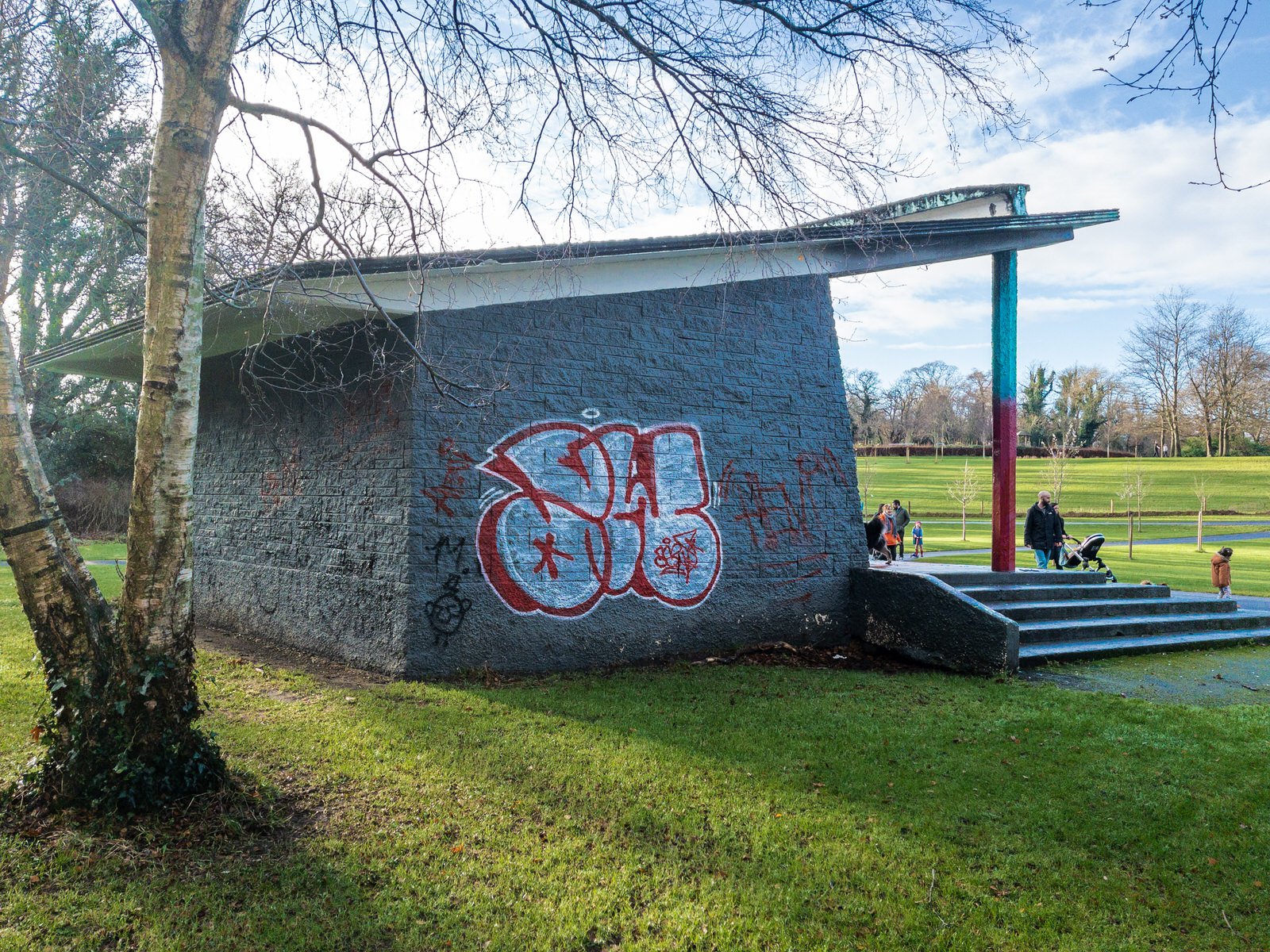
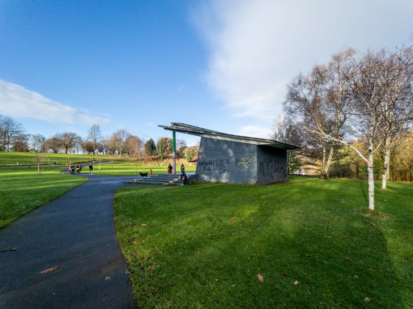
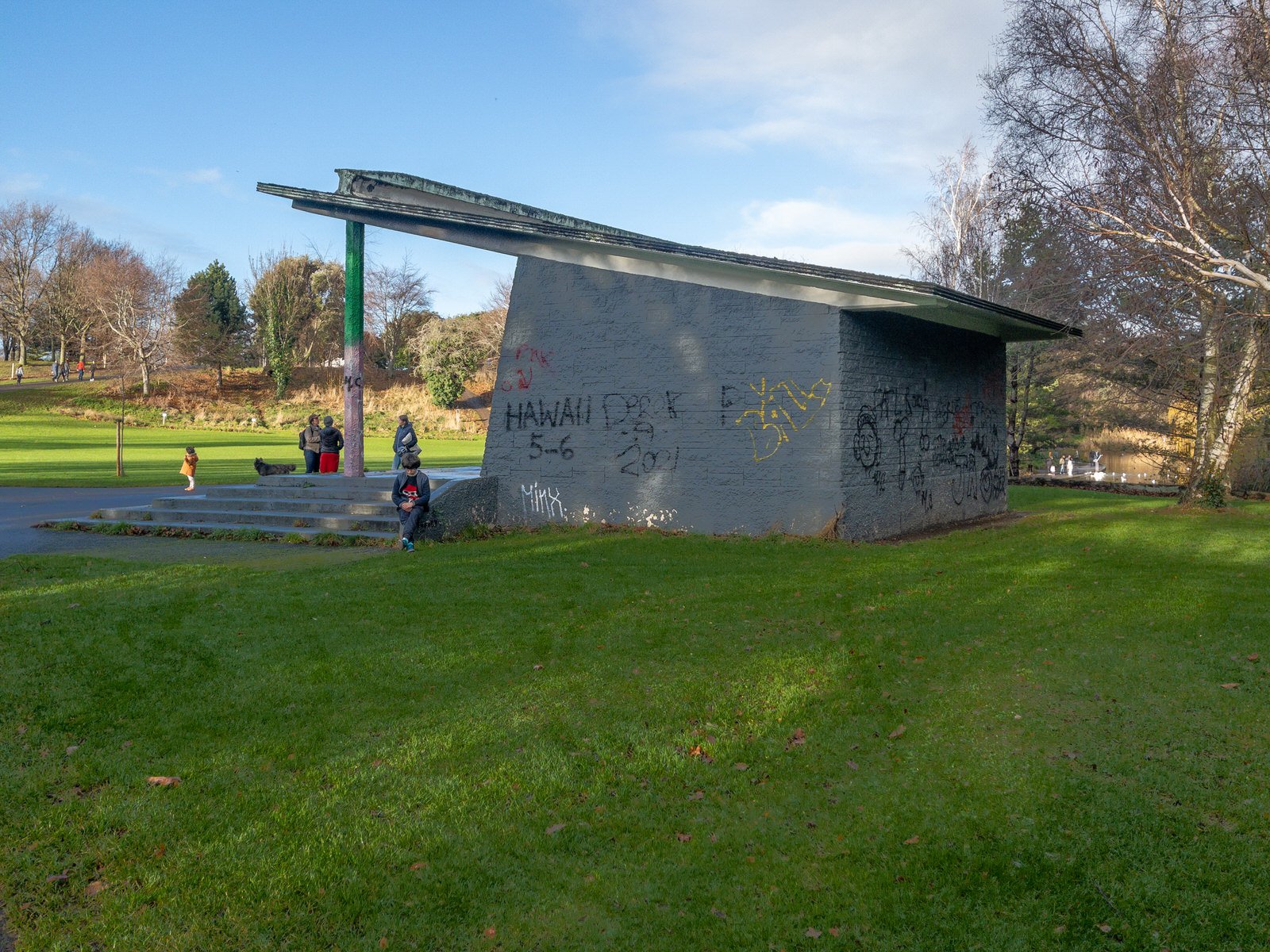
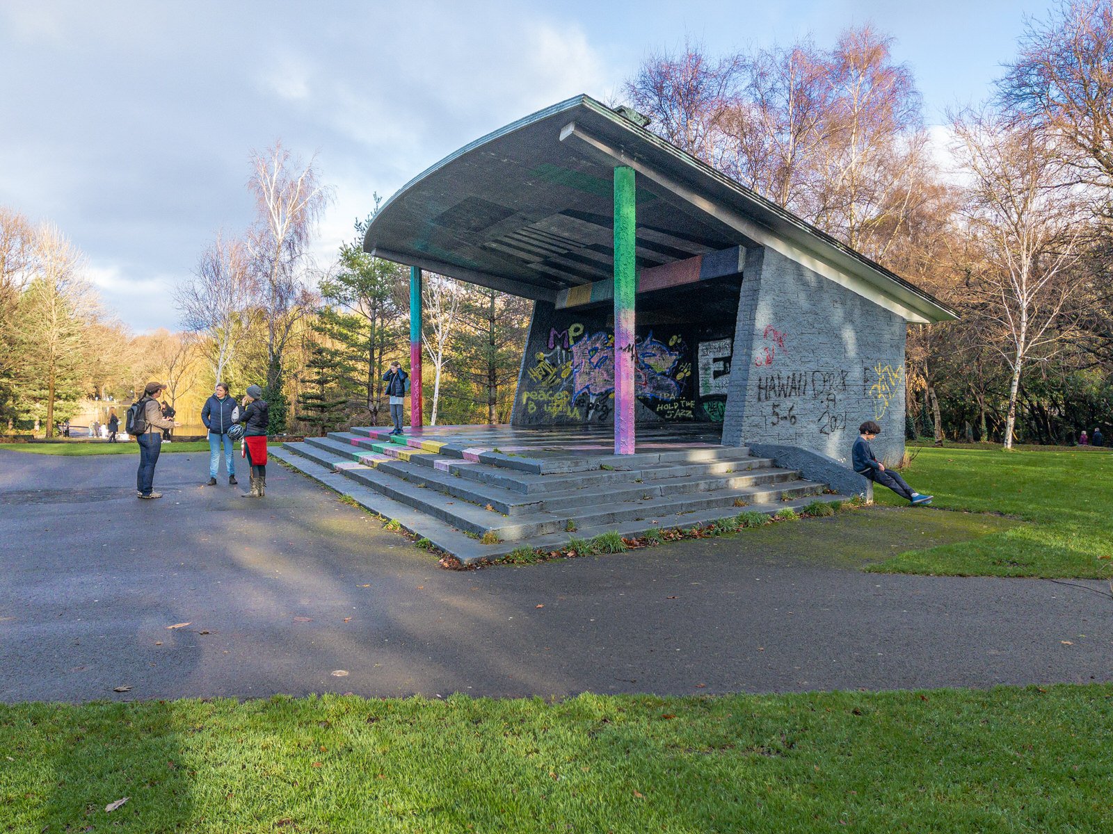
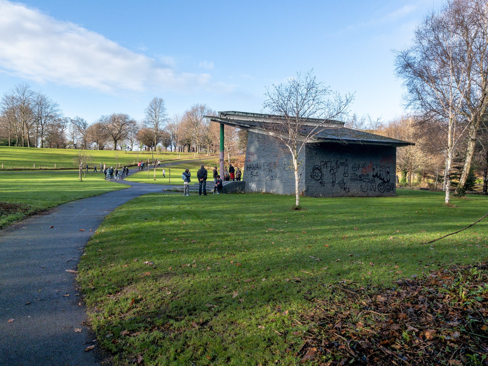
Towards the east of the park, not far from the duck pond, there is a bandstand. It’s fan-shaped in plan and opens out at the base of a slope, like a natural amphitheatre set into the landscape.
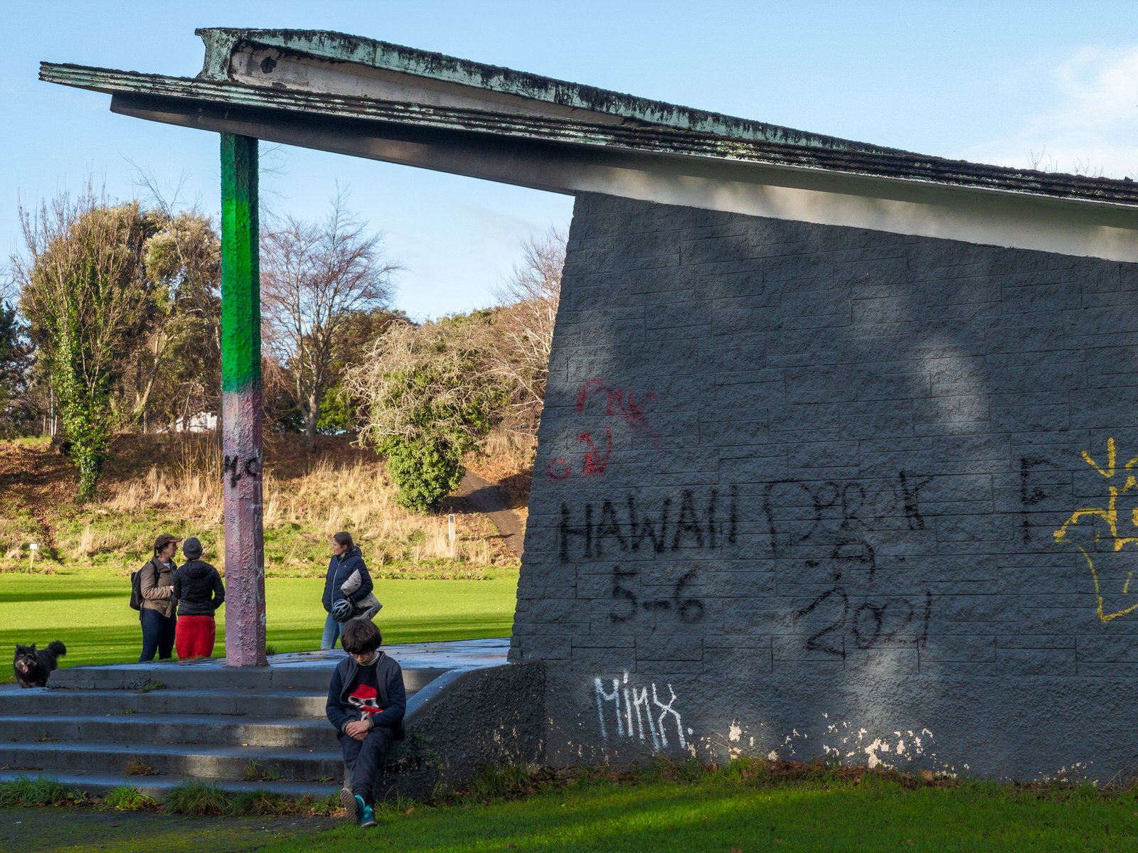
Back in 2019 the structure was transformed by street artists but it looks a bit worn and sad when I visited on the morning after Christmas [2021].
Recently I came across the following online review "This defunct bandstand is the stage in the park's natural amphitheatre. In recent years it has unfortunately become a haven for drug addicts and alcoholics from nearby Crumlin and Mount Tallant."
Dublin City Council Community, Culture, Recreation and Economic Services has commissioned Howley Hayes Architects to develop a design for a contemporary tearoom with careful consideration of placement, scale, materials and proportions and its relationship within Bushy Park, the proposed Dodder Cycle way and the wider Terenure/Rathfarnham/Rathgar areas. In addition, the development of a design for the currently redundant bandstand. Bushy Park covers a 20.5 hectare (51 acre) site that lies approx. 7km (4.3 miles) south-west of Dublin city centre. Owned and operated by Dublin City Council, it is located in Terenure and borders the neighbouring suburbs of Rathfarnham and Templeogue. Irregularly shaped, it lies between Templeogue Road, Springfield Road, Dodder View Road, Rathfarnham Road and Rathdown Park / Avenue. The River Dodder flows along the park’s boundary from west to east, with its southern bank forming part of the Dodder Valley Linear Park which stretches discontinuously from Glenasmole in the Dublin Mountains to Ringsend, where the Dodder flows into the River Liffey.
