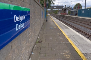
Some people that I know got the keys to their new home in Dalkey on Friday, after returning from working abroad, and I was invited to Sunday lunch which gave me an opportunity to photograph the village.
Although seven 15th-16th century castles were originally built in the area, by 1837 it was noted (in Samuel Lewis's Topographical Dictionary of Ireland) that: Four of its ancient castles have been entirely destroyed, and the remains of three others which have been long dismantled, convey striking indications of their former importance; one has been converted into a private dwelling, another is used as a store, and the third as a carpenters shop.
Dalkey's remaining Norman castle is now in use as a town hall and museum.
Dalkey lies by the coast, between Dún Laoghaire (and Sandycove and Glasthule), Glenageary and Killiney. Off the coast are Dalkey Island (up to the 18th century, also "St. Begnet's Island"), Malden Rock, Clare Rock, Lamb Island, and, further offshore, The Muglins, which have their own lighthouse. The town is on fairly level land, but the district rises to Dalkey Hill (140 m), the northern peak of a ridge which continues to Killiney Hill to the southwest; the two hills are now contained within the public park known as Killiney Hill Park. Along the coast are the natural harbour at Bullock, a couple of small inlets, Sorrento Point just east of the town proper, and the northern park of Killiney Bay.


