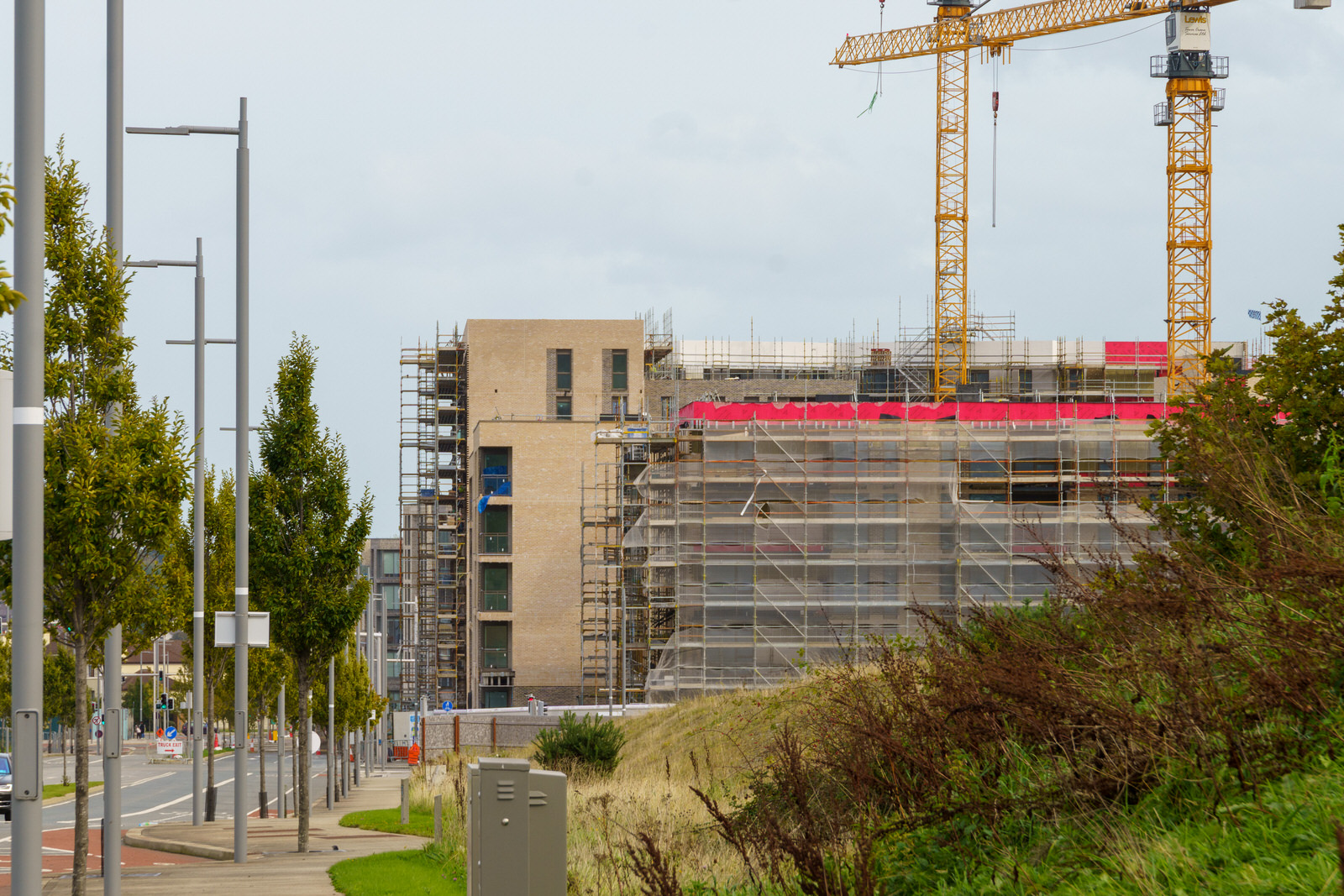
Explore Cherrywood Village And Nearby
Cherrywood SDZ is the single largest undeveloped land-bank in Dún Laoghaire-Rathdown, and is approximately 360 hectares in size, nestled at the foot of the Dublin Mountains, is strategically located between the M50 and N11 transport corridors approximately 1km north of where they fork from the M11 and approximately 8km south of Dún Laoghaire town centre. Dún Laoghaire-Rathdown County Council, in recognising the area's strategic importance, applied to the Government for Strategic Development Zone (SDZ) status and the Government designated it as an SDZ in May, 2010.
Cherrywood is being formed around the business park, in a deliberate process under a Cherrywood-Carrickmines Local Area Plan, the 2004 and later County Development Plans, and a related Cherrywood-Rathmichael Area Plan. Cherrywood is designated as a District Centre, and limits apply to certain forms of development there. In total the business park has an area of approximately 400 acres with. When I visited in 2018, much of it still undeveloped.
In 1998 the first office buildings were developed in what was then branded "Cherrywood Business Park". Development proceeded slowly and, as with other planned developments in Ireland, the property crash in 2008 affected Cherrywood. In 2015, when several buildings were still empty while other planned developments were incomplete, some reports described parts of the development as a "ghost town".
In 2012, investors created a new management company to market the area again after the collapse of Liam Carroll's development company. This was backed by AIB Bank and Danske Bank (parent company of National Irish Bank). Parts of the area received a facelift, and the "facilities building", which had previously only housed a food outlet, was expanded to include a gym. Most of the main office buildings are owned by the same company.
A new master plan was made and approved by the local authority, including plans for over 1,200 apartments and over 500,000 square feet of commercial space, including a hotel.
Following a €145m acquisition by Spear Street Capital of the eight office blocks comprising the development in January 2018, the business park was rebranded as "The Campus Cherrywood". Proceeds from the deal were later used to develop the surrounding area.
Plans to open a new life-sciences incubation and acceleration facility in the area were announced in October 2021. The new facility was planned to provide 18 labs and 9 offices over 30,000 square feet of space, and create 100 jobs in the sector.
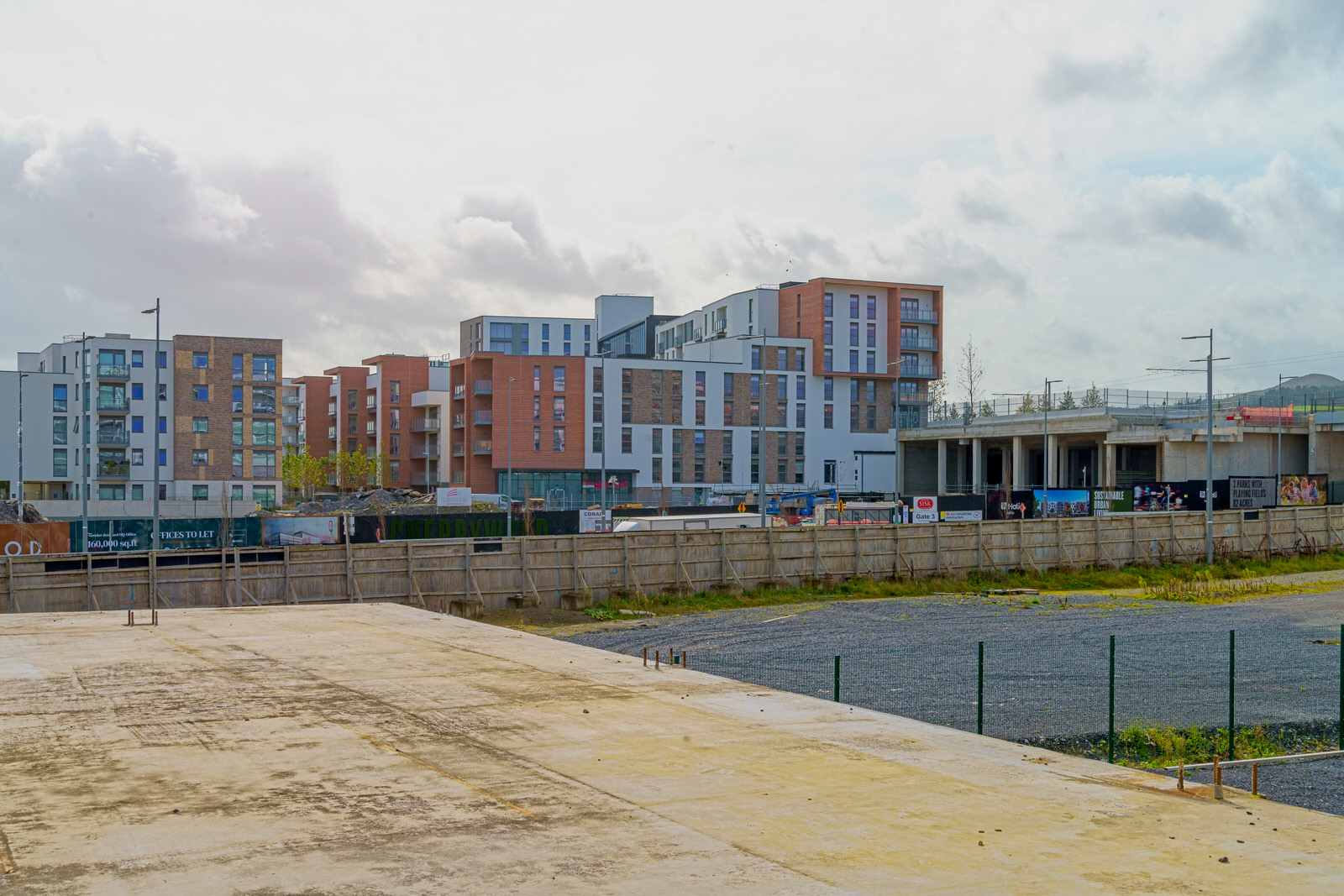
CHERRYWOOD VILLAGE
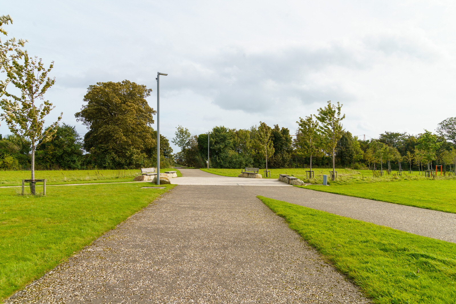
TULLY PARK
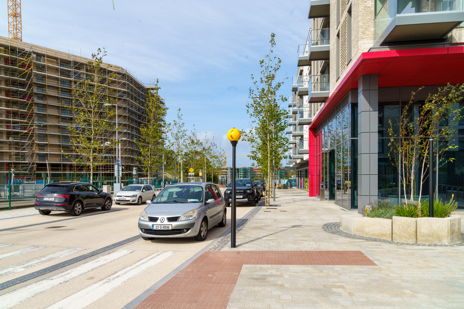
BISHOP STREET
BISHOP STREET AND TC1
Cherrywood is projected to have a future population of 25,000 residents, more than 8,000 new homes, a retail-led Town Centre, six new schools and three major parks, as well as leisure facilities. During the first phase of construction Hines delivered 5.4 kilometers of new roads and 82 acres of parkland.
The place and street names names used have been carefully chosen to reflect the existing place names of the area, historical place names and local historical figures and families who have resided or had an association with the area. There is a legend in the Book of Lismore of seven Bishops who set out from Tully/ Tulagh-na-nEaspag (Hillock of the Bishops) to visit St Brigid in Kildare. The Book of Lismore is one of the most important manuscripts of medieval Ireland having been written over 500 years ago.
Approximately one third of TC1 [Town Center 1] is allocated to residential use in the form of high density apartment development. This shall be located mainly in the quieter Bishops Street side of TC1 closest to Tully Park and shielded from the Wyattville Link Road. TC2 is predominantly (three quarters) residential. The design of this quadrant shall locate the residential use to its north, remote from the Wyattville Link Road, in close proximity to the residential plot north of Bishops Street on the edge of the Town Centre. TC3 has a significant (one quarter) residential allocation. This is to be provided in the form of apartments located mainly towards the southern/ south- western corner of the plot where they can benefit from a favourable southerly aspect and a more suitable environment generally. TC4 provides a significant proportion of the residential quantum within the Town Centre, contributing to approximately half of this quadrants total land use quanta. The residential uses are to be provided centrally within the quadrant extending from Grand Parade to Cherrywood Avenue. The design and layout of the Town Centre, shall be required to demonstrate that residential amenity is protected.
When I photographed the area in 2018, facilities included an all-weather multi-purpose playing pitch, a sports pavilion, tennis courts, cycle paths and greenways. Three parks were in formation, with more than 3,000 trees already planted. By 2021, four parks were under development, Tully Park and Lehaunstown Park, named for nearby localities, Ticknick Park and Beckett Park.

BISHOP STREET
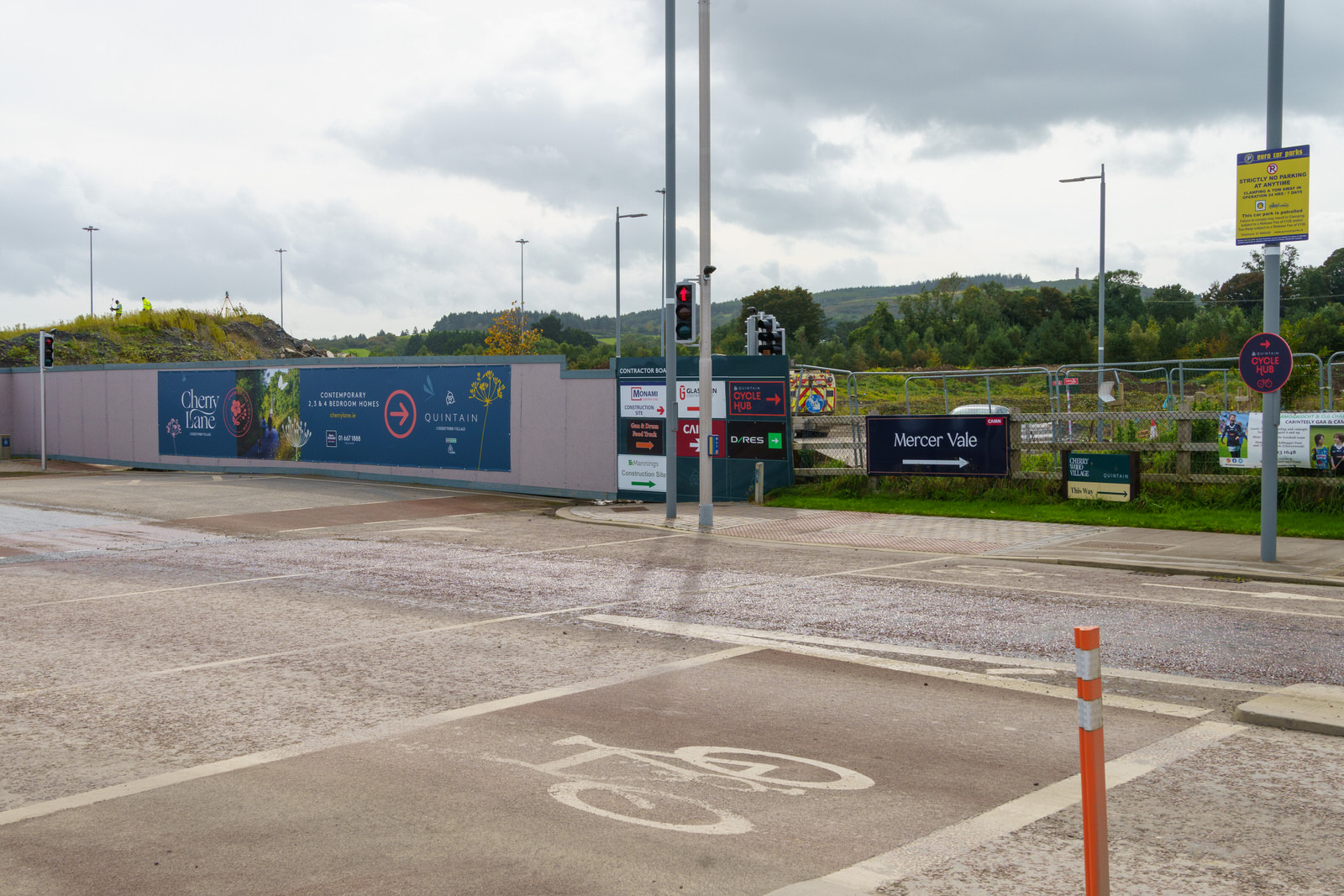
MERCER VALE
Mercer Vale is named after the Mercer family, who held lands in Cherrywood that were used in 1795 as an encampment for 4,000 men to defend the country from a potential invasion by France into Killiney Bay. The lands were also used as a garrison during the 1798 rebellion. A large burial slab marked Mercer is located in nearby Tully Church.
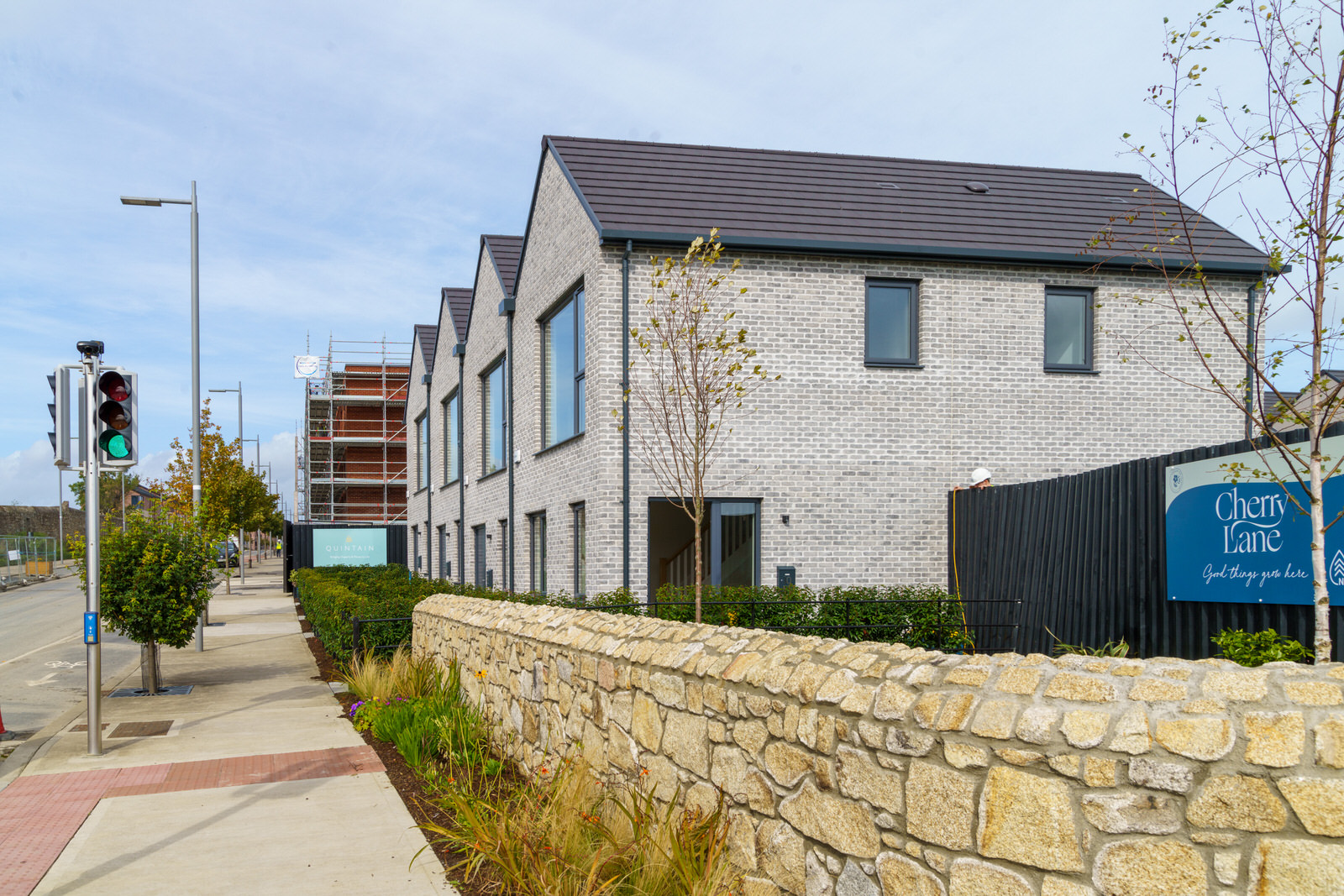
Mercer Vale, is a new residential scheme located in South Dublin and forms part of the Cherrywood Strategic Development Zone. The scheme consists of a mix of 2 and three storey housing, three storey own door duplex blocks and a 27-unit 4 storey apartment building in the northeast corner of the site.
Fronted onto Castle Street in Cherrywood and with the newly delivered Beckett Park and Tully Park in very close proximity, the variety of house types and varying heights combined with pocket parks and shared surface areas throughout engenders a sense of place for the residents of Mercer Vale within the wider Cherrywood SDZ.
MERCER VALE
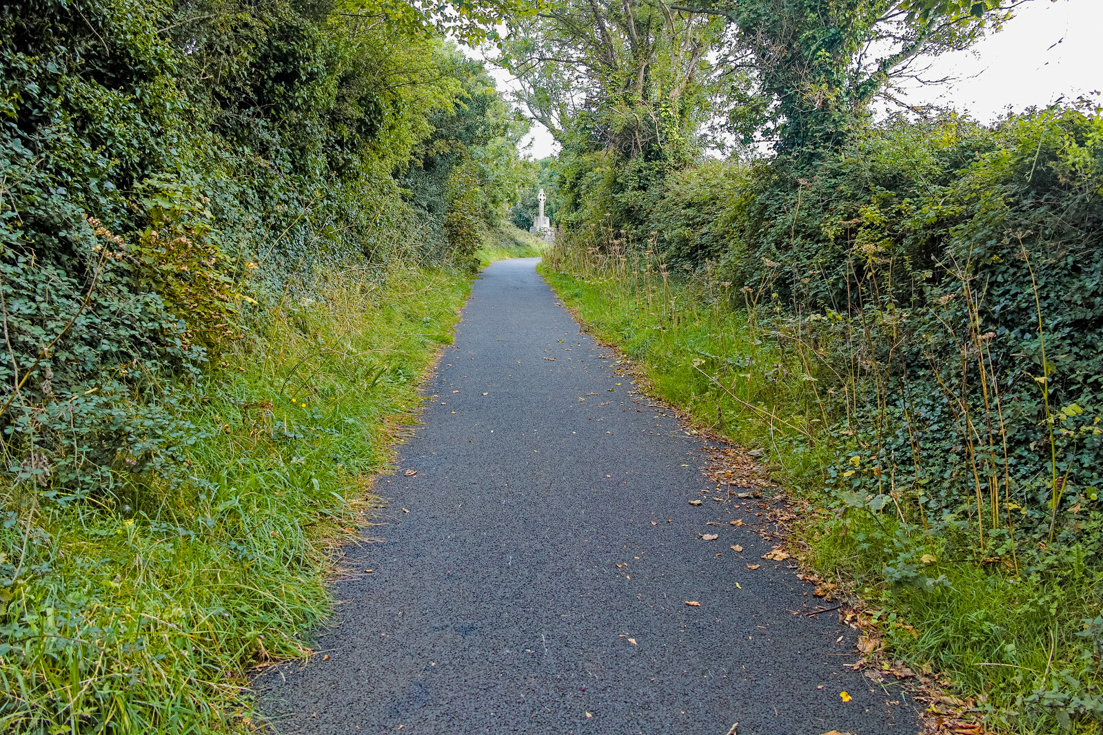
TULLY HIGH CROSS
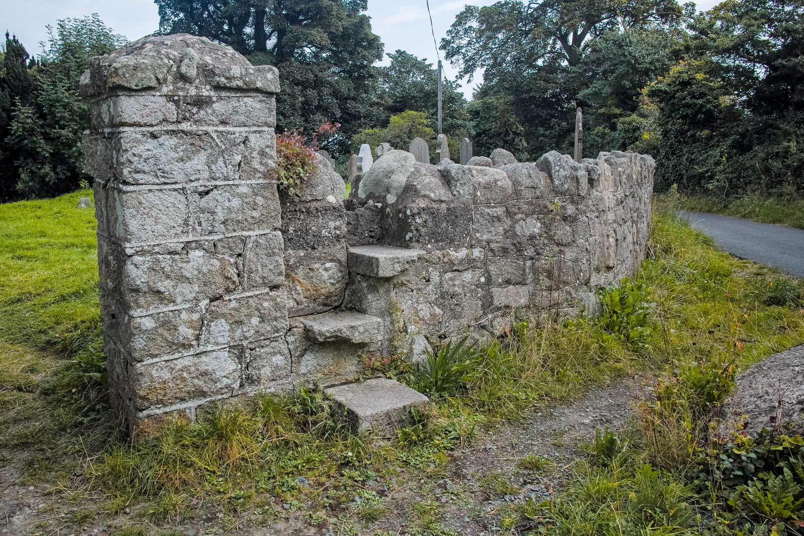
TULLY CHURCH
Tully was an important diocesan centre in the 1st Millennium AD. It is referred to in the early literature as Tulach na nEpscop (‘the Hill of the Bishops’). The church is mentioned in the Martyrology of Óengus, a 9th century text with 11th /12th century notes, and the late 15th century text, but drawing from earlier now lost manuscripts, the Book of Lismore.
In the 8th century the territory in south-east County Dublin and north-east County Wicklow came under the control of the Uí Briúin, hence Uí Briúin Cualann.
The church of Tully and the surrounding lands later fell under the control of Hiberno-Norse settlers. The lands of Tully were granted by Sitric Mac Turcaill to the Holy Trinity (Christ Church) in Dublin. In fact, the remains of a nearby house-site associated with this period has been discovered and excavated in recent years.
Aerial photography has established the presence of two subsurface ditched enclosures surrounding the church. The original entrance to the enclosure would appear to be to the south-east. Entrances similarly positioned are a notable aspect of many other early ecclesiastical sites.
The nave of the present church would appear to date to the latter part of the 11th century. The perfectly realised archway connecting the nave to the chancel is probably later in date, late 12th/early 13th century.
To the immediate north-west of the church remains there stands a 12th century High Cross featuring a relief carving of a bearded bishop. This cross would appear to be standing on the western perimeter of the outer enclosure.
A 10th century ringed-High Cross was repositioned along the adjacent laneway in the 19th century. Four grave slabs of Rathdown-type were formerly located at the church site. These slabs date to 10th/12th centuries and feature designs that are paralleled on objects discovered in the Viking excavations in Dublin. They may have served as grave markers of Christianised Hiberno-Norse settlers.
In the wake of the Norman/Angevin intervention in the late 12th century, the graveyard at the church became the traditional burial ground of the Walshes of Carrickmines Castle, one of the dominant families in the locality.
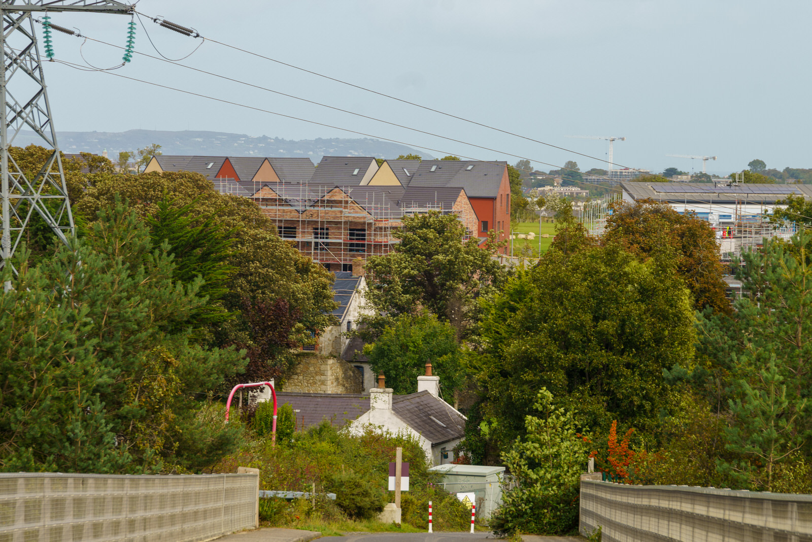
Approximately 400m from the Tully Church complex stands Lehaunstown Park House. Remarkably, this ‘modern’ house encases the remains of the documented Lehaunstown Castle. The juxtaposition of a Tower House/castle with an Early Medieval ecclesiastical site has been recorded elsewhere in County Dublin, for example at Tallaght, Dalkey, Swords and Portrane. This historic relationship between Tully Church and Lehaunstown Castle should be fully respected in the projected ongoing development in the immediate area.
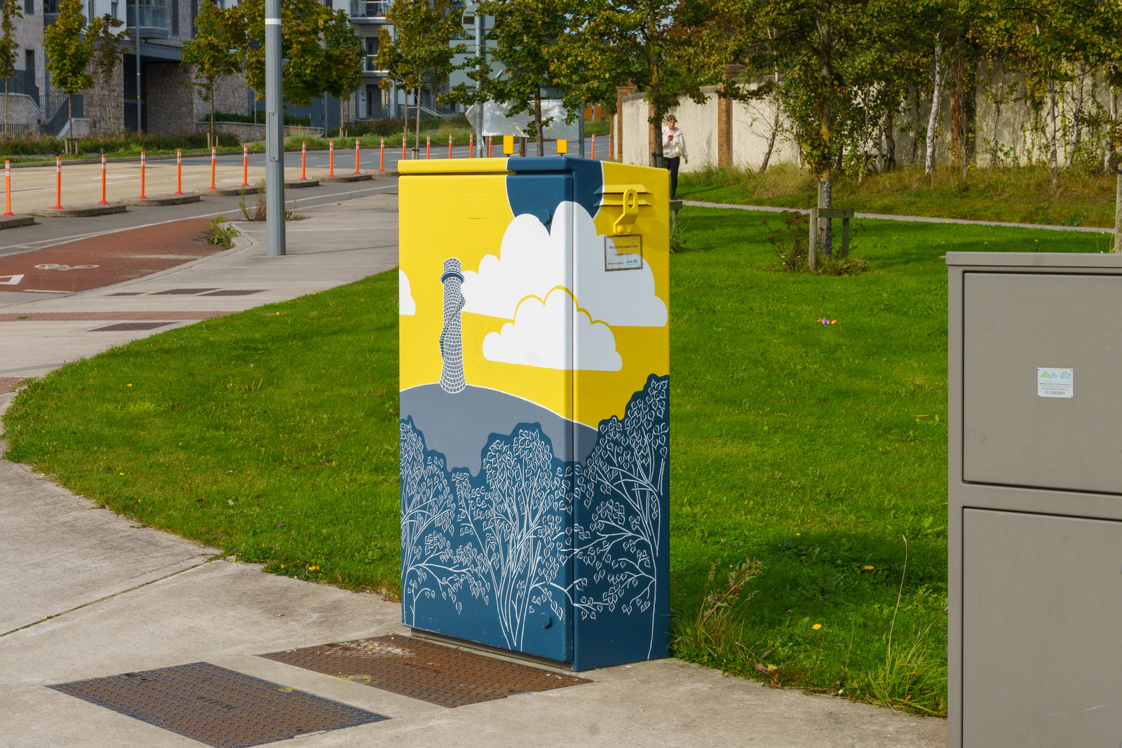
PAINT-A-BOX STREET ART
TICKNICK PARK
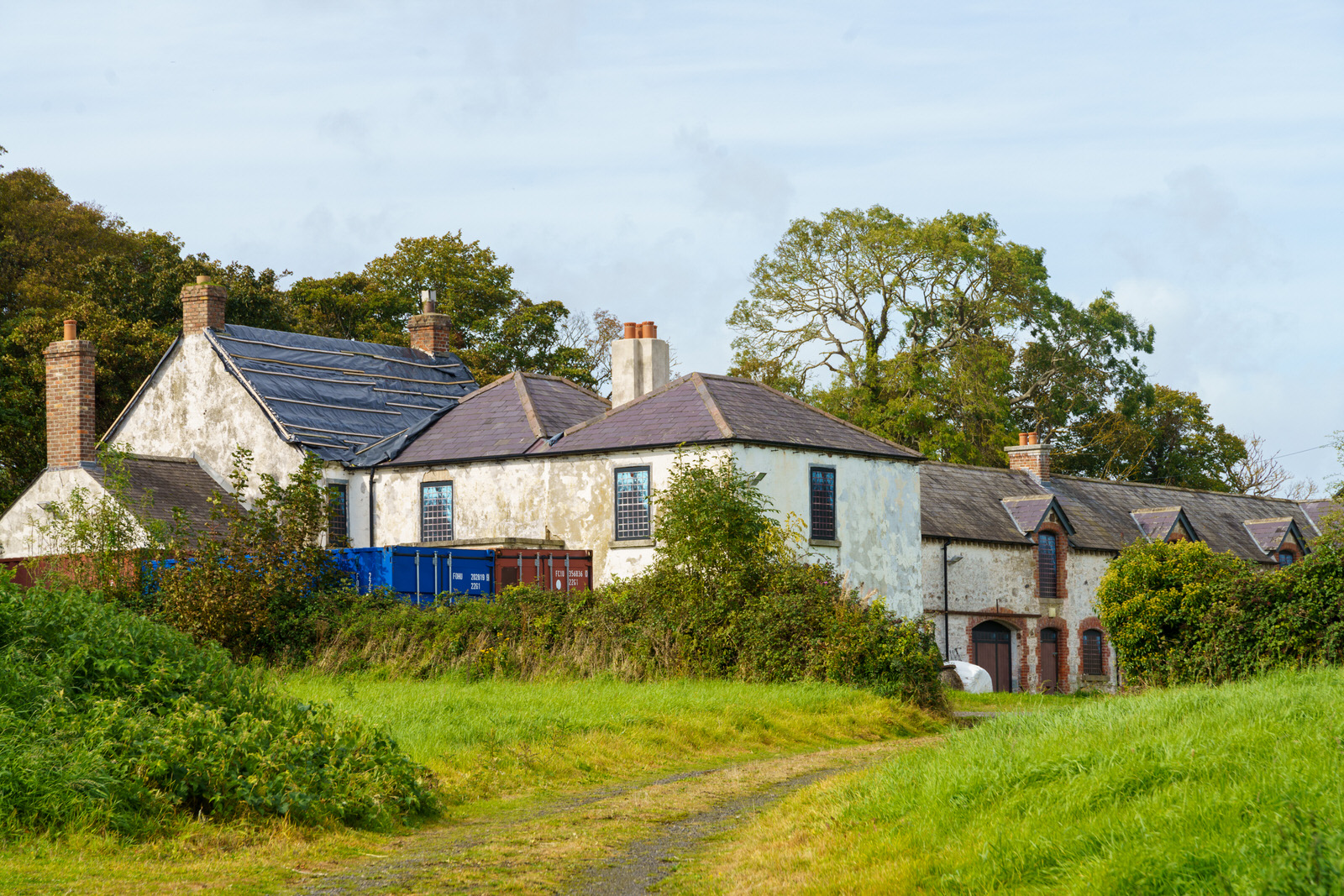
LEHAUNSTOWN PARK HOUSE