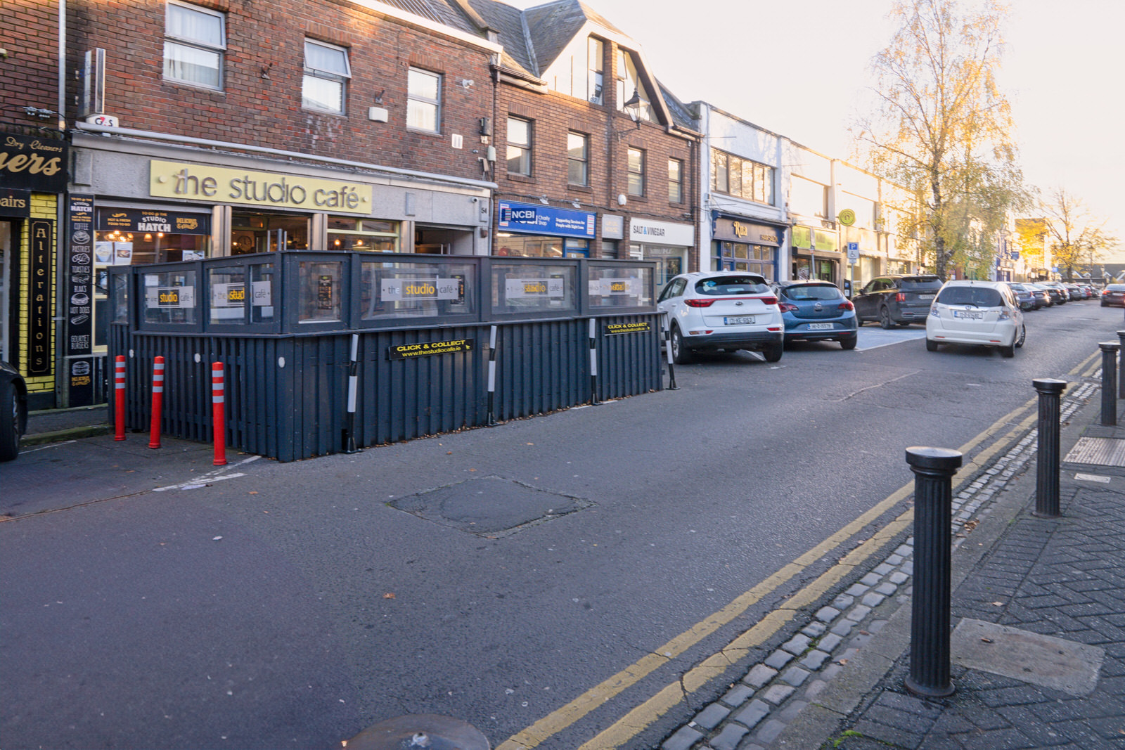
Rathfarnham Village
THIS IS RATHFARNHAM VILLAGE
PHOTOGRAPHED EARLY IN NOVEMBER 2023
THIS IS RATHFARNHAM VILLAGE
I visited this village early in November and it was a beautiful sunny day.
It is now Thursday 16 November and I have been out of action for a few days as my upgrade to macOS Sonoma presented me with a series of problems the major one being was that my internal drive had no storage space an hour or two after the upgrade. After about two days I discovered that the disk contained a number of TimeMachine snapshots totalling about one terabyte and it would appear that some of the files were created up to three years ago ... this has created a number of ongoing problems especially as I am now using FinalCut Pro,
Rathfarnham is the start of the Military Road. This road through the Wicklow Mountains (still in use mainly for tourist traffic) was built at the beginning of the 19th century to open up the Wicklow Mountains to the British Army to assist them in putting down the insurgents who were hiding there following the Irish Rebellion of 1798. Rathfarnham itself was the scene of some skirmishes in the early days of the Rising which extended to the final battle in "Raheen" County Wexford.
Construction commenced on 12 August 1800 and was completed in October 1809. The road starts outside the Yellow House, passes the head of Glencree, with a spur down that valley to Enniskerry, rises to the Sally Gap and then dips down to Laragh, over the hills into Glenmalure, and finishes at Aghavannagh. Well-known sections also include the Featherbed Mountain, the section below Kippure Mountain. The total distance was 34 Irish Miles, of which the spur to Enniskerry was 5 Irish Miles. The engineer in charge was Alexander Taylor (born in 1746), who was responsible for many other roads in the country, including some "Turnpike Roads", which are Toll Roads.

November Menu

October Menu