All January 2025 Posts

THE URBAN CARTOGRAPHER

Select Image Of Interest For More Information And Access To Photo Galleries
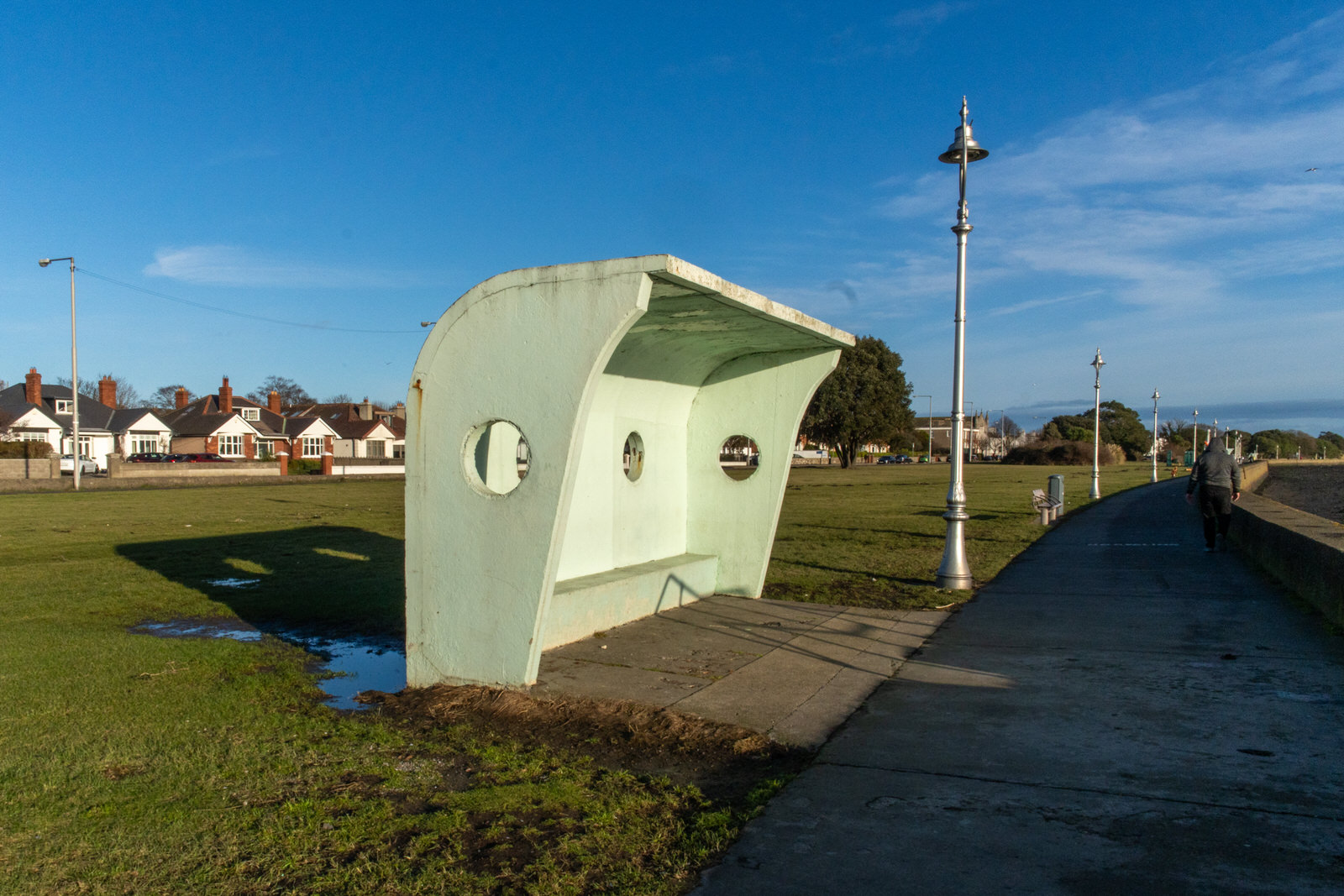
The Clontarf Wind Shelters

The Clontarf Wind Shelters

Clontarf promenade is home to a series of remarkable wind shelters and a bandstand, all designed by the influential architect Herbert Simms. These structures, built between 1955 and 1958, are not only functional, providing respite from the elements, but also serve as striking examples of modernist design.

Urban Cartographer on Saturday, 3rd January
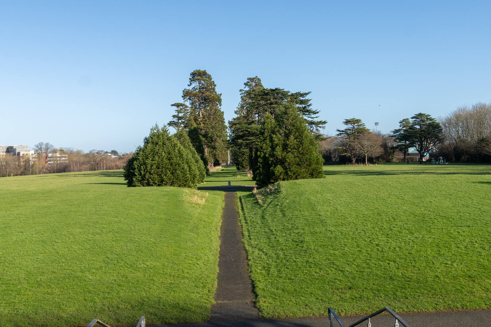
Santry Demesne Public Park And The Phoenix Folly

Santry Demesne Public Park And The Phoenix Folly

My exploration of Santry Demesne Public Park began with a simple bus journey. Intrigued by the new E1 bus route terminating in Northwood, I decided to explore the area. I was struck by the recent development, but my sense of direction led me to suspect the proximity of Morton Stadium and its neighbouring public park. (As a point of interest, during my time with B+I Shipping, I shared an office with Billy Morton's brother – though I can't recall his name, he always introduced himself in relation to his famous sibling).

Urban Cartographer on Friday, 2nd January
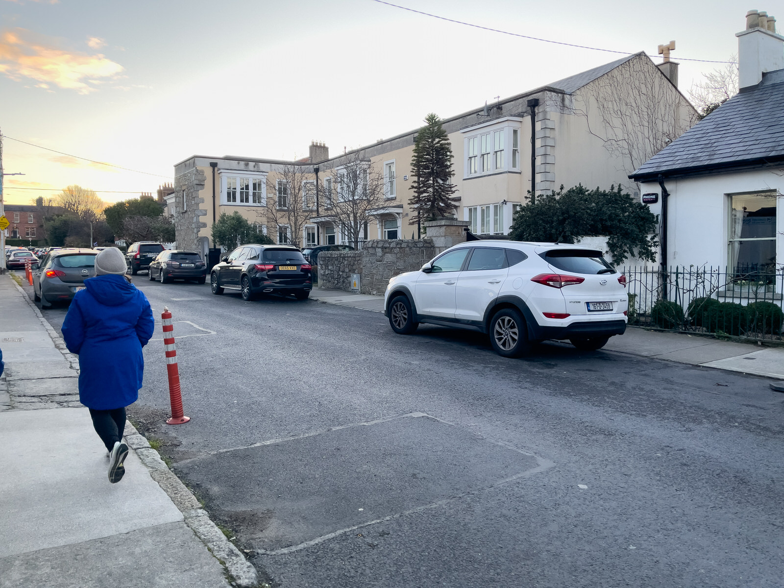
2025 New Year Day Visit To Sandycove

2025 New Year Day Visit To Sandycove

Sandycove Avenue forms three sides of a rectangle, bounded on the south by Sandycove Terrace (part of Sandycove Road). Originally, Sandycove Avenue East was a cul-de-sac leading to the Martello Tower (Joyce's Tower, Sandycove), as shown on maps from 1820. By 1860, only two houses stood on Sandycove Avenue East. Ten years later, significant building had occurred, including three houses designated Ellerslie Terrace, alongside detached and terraced houses. The 1901 census recorded 27 houses, five of which were vacant, with 98 occupants. Five houses were classified as first class. In 1884, the first meeting of the Dublin Bay Sailing Club took place at Number 7 Sandycove Avenue East, the home of Major Edward White. St Kilda's, a villa-style house on the east side, was owned by Francis Falkner, a grocer with shops in Grafton Street and London.

Urban Cartographer on Wednesday, 31st December
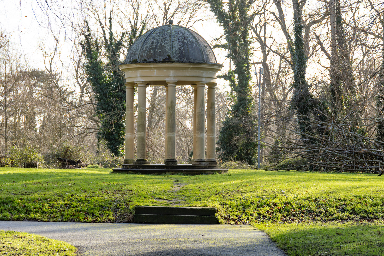
Copy Of A Stone Temple

Copy Of A Stone Temple

Santry Demesne Public Park holds within its boundaries echoes of a grand past, most notably through a replica of a once-prominent stone temple. This temple, however, is not the original.

Urban Cartographer on Wednesday, 31st December
Deansgrange Cemetery

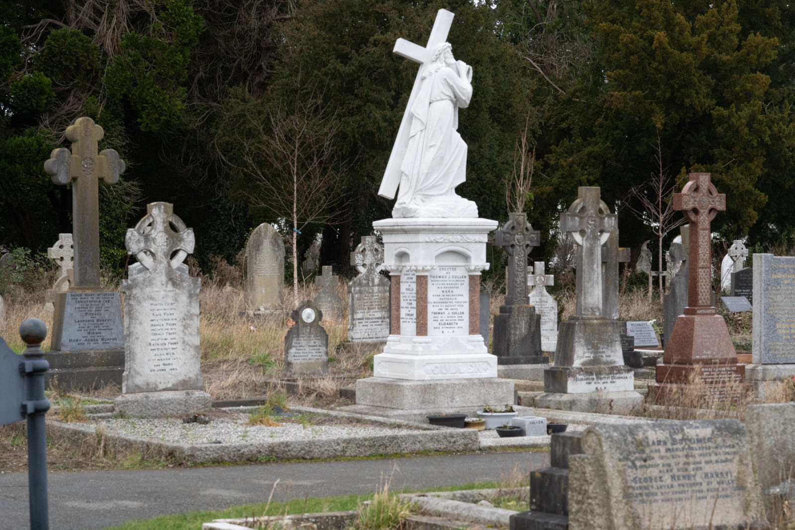
Deansgrange Cemetery

I had not planned to visit Deansgrange Cemetery so the lens that I had with me was not really suitable combined with the FX30 and the images proved to be disappointing. I also took some photographs using a iPhone and I will publish them later.

Urban Cartographer on Wednesday, 31st December
Dun Laoghaire Baths New Year 2025

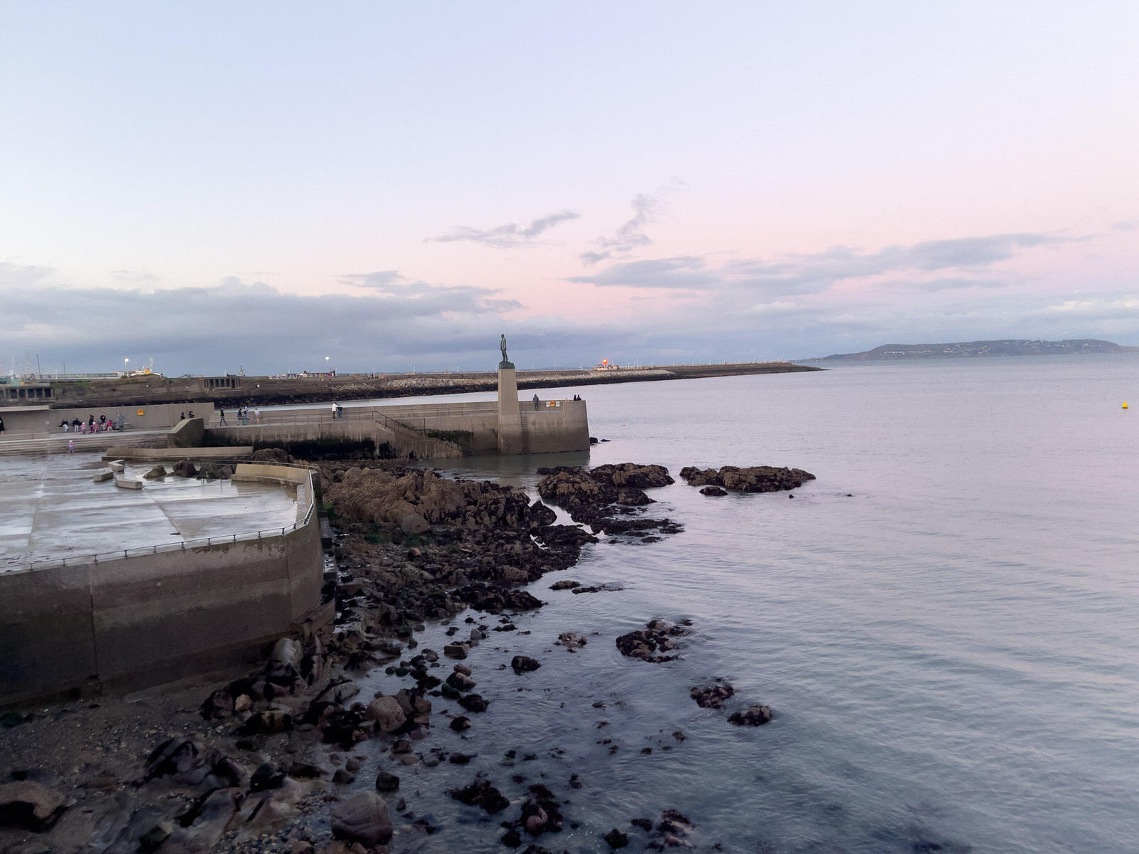
Dun Laoghaire Baths New Year 2025

This blog post explores the captivating history of Dun Laoghaire Baths, nestled in the picturesque seaside town of Dun Laoghaire, County Dublin, Ireland. Constructed in 1843 by a private company, the baths were initially intended to provide both fresh and saltwater swimming experiences for the affluent residents of Kingstown, now known as Dun Laoghaire. Over the years, these baths have undergone numerous renovations and transformations, reflecting the changing social and recreational landscape of the town.

Urban Cartographer on Wednesday, 31st December
Ulverton Road And Nearby

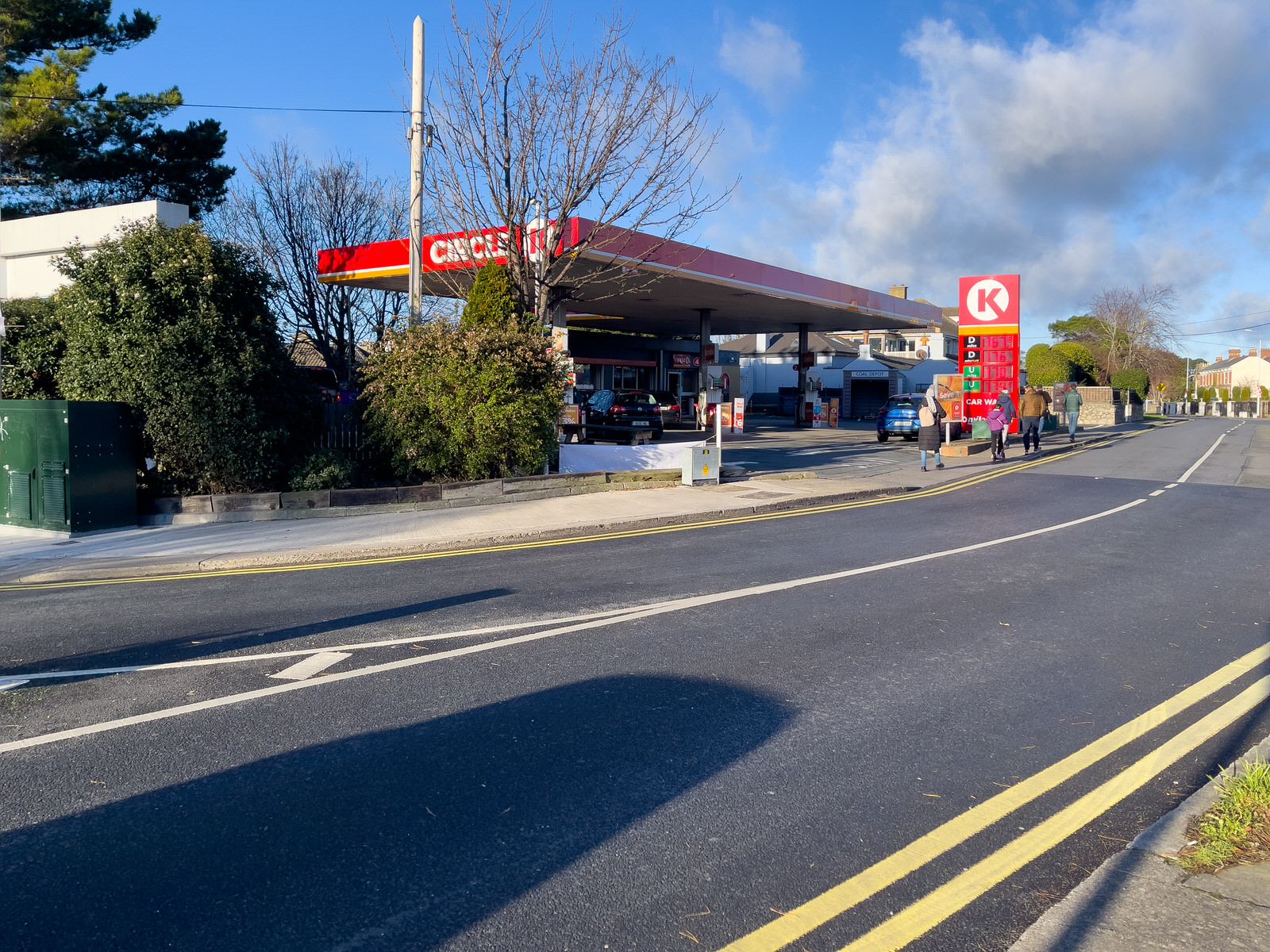
Ulverton Road And Nearby

Breffni Road, historically considered part of Sandycove rather than Dalkey, dates back to the early 1800s. It was developed by four merchant brothers seeking a summer escape from the city. Of particular interest is 2 Cliff Terrace:

Urban Cartographer on Wednesday, 31st December